Lightning, Sawmill, Bears, Mountain Lions, Volunteers – 7/20/2016

Lightning over the west side of the Santa Catalina Mountains. July 2016.
Lightning over the west side of the Santa Catalina Mountains – Table Mountain on the far right of the picture. July 2016.

There have been a number of Bear sightings reported recently – mainly near Summerhaven and Organization Ridge. So far “None of these encounters have been dangerous, as nobody has reported any kind of aggressiveness”. AZGF spokesman Mark Hart does not want visitors to “feel alarmed but to be “bear aware” by taking measures to prevent encounters” – some Safety in Black Bear Country information. Bears sighted 15 times on Mount Lemmon since May; officials urge caution – KVOA.com, Mt. Lemmon sees spike in bear sightings – TucsonNewsNow

Towards the end of June Mountain Lion sightings in Sabino Canyon ‘spiked’, but there were no aggressive encounters and AZGF representative Mark Hart points out that with a healthy Mountain Lion population in Sabino Canyon “If you go there a lot and you haven’t seen a mountain lion, one has probably seen you.” Mountain Lion information including what to do if you encounter a Mountain Lion from AZGF. Recent mountain lion encounters in Sabino Canyon prompt new warnings – KVOA.com

100 years ago in Tucson July 26: Mount Lemmon – tucson.com: Includes two great articles from the 1916 Arizona Daily Star about the Santa Catalina Mountains:

  • “SAWMILL NO MENACE TO TIMBER SUPPLY” – Forest Supervisor Don P. Johnson assures the public that the new sawmill in the Summerhaven area “is for the purpose of cutting timber for the erection of bungalows and houses for residents on the Webber homestead” and that “the timber will be used only in the district”. In 1916 the sawmill was owned by Jim Westfall – it had been laboriously hauled up to the Summerhaven area and, as the 1916 article predicted, provided a key resource for construction on the mountain. A second sawmill, brought to the mountain by Tony Zimmerman, would later stand in the same spot.
  • “Luncheon Club to Hear Of Mount Lemmon Road”: Forest Supervisor Don P. Johnson “will give information in regard to the proposed road to Mount Lemmon and will answer any questions put to him with regard to the proposed government aid for highways” – in 1916 the completion of the Control Road from Oracle was still 4 years away, but perhaps more unexpected in 1916 would have been that it would take another 35 years to complete a highway up the south side of the mountain!

A hiker coming back from Hutch’s Pool was separated from his hiking companions – he missed the Sabino Canyon Trail junction and continued up the East Fork Trail, eventually he went up Bear Canyon because he could see the highway and yelled to people at the Seven Cataracts Vista Point for help. The hiker was taken to the hospital for heat related illness. Missing Tucson hiker found in Sabino Canyon – tucson.com, UPDATE: Missing hiker in Sabino Canyon found safe – TucsonNewsNow, Missing hiker found in Sabino Canyon – KGUN9.

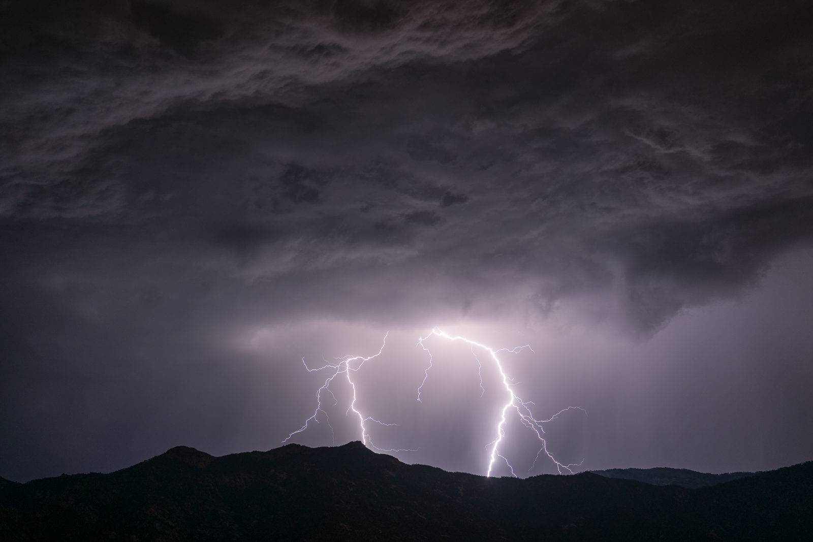
No plans for Tucson to have hiking ban during extreme heat – KGUN9 – Several weeks ago the high temperatures were a factor in a number of deaths in Southern Arizona – one result was that the City of Phoenix Parks and Recreation Board considered a ban on hiking in extreme heat (which was not approved) – according to the article no such ban is being considered in Tucson.

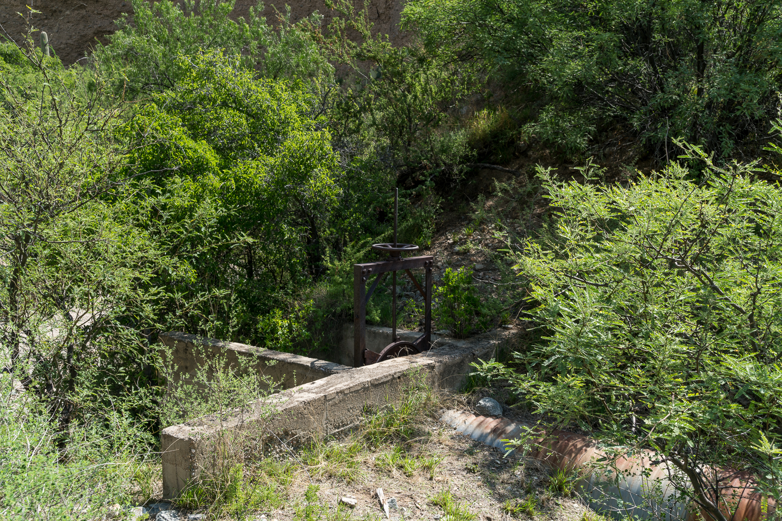
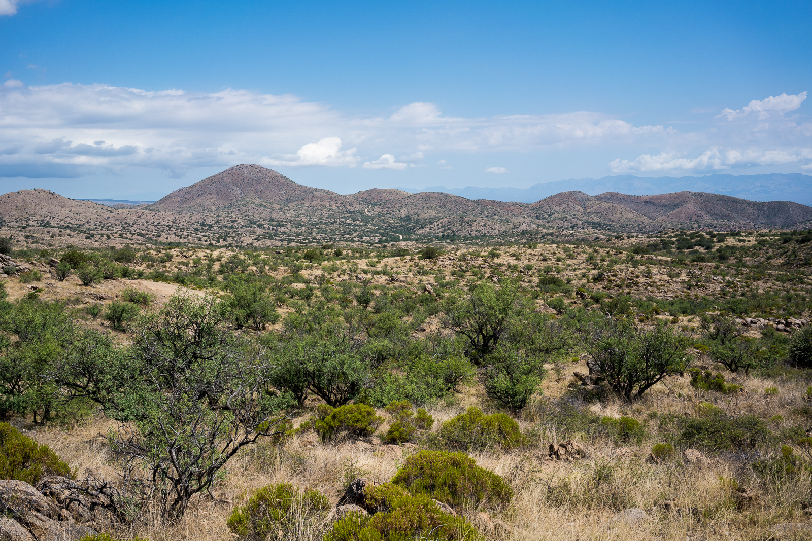
The cover of the August Issue of The Desert Leaf features a lovely picture of Sabino Canyon and calls out the article ‘Caring for the Coronado’. The articles talks about the important work that volunteers have done in the Coronado National Forest, often putting in significant hours and effort to accomplish meaningful tasks that seem unlikely to receive official funding anytime in the near future. It was great to see so many groups that have contributed time, labor, knowledge and resources to the Coronado National Forest mentioned in the article  – Sky Island Alliance, Santa Catalina Volunteer Patrol, Sabino Canyon Volunteer Naturalists, Sabino Stewards, Arizona Master Watershed Naturalists, Friends of Sabino Canyon, Tucson Audubon Society and The Nature Conservancy.

Summerhaven had their July 4th Parade again this year – a good excuse to head up the mountain to cooler temperatures – probably the highest altitude July 4th Parade in the state! Mt. Lemmon parade patrons spend Independence Day away from heat – KVOA.com

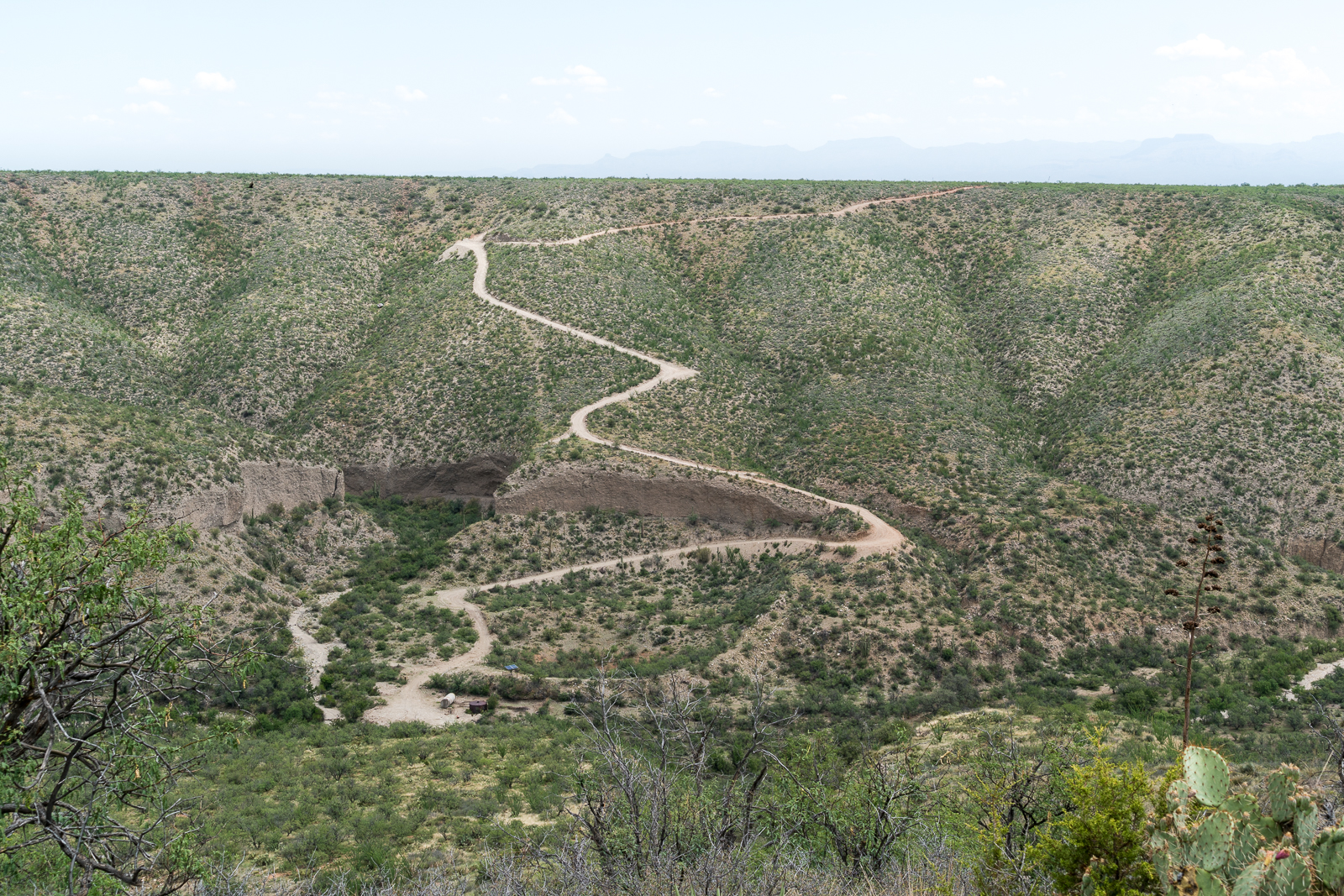
Hittin’ the Trails 4 You: Mt. Lemmon’s Box Camp Trail KVOA.com – a short piece on the Box Camp Trail.

Rescues/Accidents/Incidents including information from the SARCI Newsletter:

  • Oracle Ridge Trail 6/3/2016 – A hiker was unable to continue up the trail, she was assisted out.
  • 7 Falls Tail 6/17/2016 – Hikers without lights were unable to continue after sunset – they were found by a team with lights and fluids and able to hike out.
  • 7 Falls Trail 6/19/2016 – Hikers ran out of water and called for assistance – they were given hydration and were able to continue.
  • Agua Caliente Canyon 7/1/2016 – A knee injury while USFS and AZGF personnel were in Agua Caliente Canyon checking fish necessitated a litter carry out.
  • Romero Canyon Trail 7/3/2016 – An exhausted hiker a short distance up the trail is assisted and walked out.
  • Lemmon Rock Trail 7/9/2016 – A group of hikers were doing a loop on the top of the mountain – Mount Lemmon Trail, Wilderness of Rock, Lemmon Rock Trail – one member was exhausted and unable to continue the climb back up to the top. A team provided supplies and company and helped the group continue up the trail.
  • Pontatoc Canyon 7/10/2016 – A hiker was reported missing but made it out before assistance arrived.
  • Aspen Trail 7/12/2016 – Hip injury on the Aspen Trail.
  • Rose Canyon Lake 7/16/2016 – A person medical issues near the dam was transported out of the area.
  •  Ventana Canyon Trail 7/16/2016 – A hiker, familiar with the area, was unexpectedly out overnight. He was and found and assisted the next day. He had reportedly headed up to The Window with only a bottle of water.
  • 7 Falls Trail 7/18/2016 – A hiker with asthma problems was assisted out, first on foot and then on horseback.
  • West Fork Trail 7/23/2016 – Two hikers set off for 7 Falls, but didn’t recognize it and continued all the way to the junction of the Cathedral Rock and West Fork Trails – at the junction they climbed up the Cathedral Rock Trail and were eventually able to get cell service and call for help. A rescuer was flown into Romero Pass and assisted the hikers down to the Hutch’s Pool area where they were helicoptered out.
Lightning over Samaniego Ridge on the west side of the Santa Catalina Mountains - taken from the Golder Ranch area. July 2016.
Lightning over Samaniego Ridge on the west side of the Santa Catalina Mountains – taken from the Golder Ranch area. July 2016.

Ventana Windmill, Alder Canyon – 7/7/2016

A baby Desert Tortoise speeding across a road above Alder Canyon. July 2016.

From Black Hills Mine Road, near Ventana Tank, a side road leaves to the south and takes you down to the bottom of Alder Canyon to the Ventana Windmill.

The remains of the Ventana Windmill in the bottom of Alder Canyon - now replaced by a solar powered pump. July 2016.
The remains of the Ventana Windmill in the bottom of Alder Canyon – now replaced by a solar powered pump. July 2016.

The Ventana Windmill is still where the map marks it – but now it lays in the canyon bottom watched over by the solar panels that replaced it – the solar pump is working well judging by the overflowing tank attracting swarms of insects.

Bees near Alder Canyon. July 2016.

Up a side canyon bees hang from the canyon wall – I feel lucky to see them, and lucky to have seen them before I was closer. Still in the side canyon an open sluice gate seems to suggest there was more water here at some point – but it is so dry, and hot, that it is hard to imagine. The old structure makes me think about a piece of the canyon’s history – from GOLD PLACERS AND PLACERING IN ARIZONA by Eldred D. Wilson:

ALDER CANYON PLACERS

Placer gold occurs in Alder Canyon, on the northern slope of the Santa Catalina Mountains, from near the National Forest boundary to within a few miles from the San Pedro River. These placers have been known and intermittently worked in a small way for many years. The gold-bearing gravels are reported to occur as dissected bars or benches along the stream and to some extent on the spurs between tributary gulches. The gold is coarse, flat, and ragged.

During 1932-33, a maximum of fifteen or twenty men carried on rocking, sluicing, and dry-washing operations in this field. Most of them were transients who remained only a short while and won but little gold. J. W. Lawson, postmaster at Oracle, purchased approximately $45 worth, near 936 in fineness, during the year. The Alder Canyon placers were credited with a placer gold output of $704 during 1934-40.

Water works near the Ventana Windmill in a small side canyon. July 2016.
An open sluice gate, no water in sight… An old structure near the Ventana Windmill in a small side canyon. July 2016.

From the windmill a rough road heads up Alder canyon and another climbs steeply up the other side of the canyon and continues thru a gate out onto Davis Mesa.

The road off the Black Hills Mine Road down into the bottom of Alder Canyon and to the Ventana Windmill - the tank and solar panels that power the pump that replaced the windmill are visible in the bottom of the canyon. July 2016.
Looking back from Davis Mesa at the road from the Black Hills Mine Road down into Alder Canyon and the Ventana Windmill site. July 2016.

Black Hills Mine Road – 7/7/2016

Past San Manuel the road takes a hard left as it heads down to the San Pedro River – only a year or two ago the road turned to dirt near the turn, but now an unbroken path of pavement takes you towards the river. At the turn an unsigned dirt road leaves to the right – Black Hills Mine Road – FR4450. 

Cloud shadows on the hills between Black Hills Mine Road and the Santa Catalina Mountains. July 2016.

Black Hills Mine Road is wide and smooth at the start as it cuts straight lines thru the desert to the edge of Alder Canyon. At Alder Canyon the road climbs to the ridge between Alder Canyon and Geesaman Wash and passes the Ventana Tank.

Ventana Tank - reflections of Point 5817 between Alder and Edgar Canyons and the clouds above. July 2016.
Ventana Tank – reflections of Point 5817 between Alder and Edgar Canyons and the clouds above. July 2016.

Near Bat Well the road, now rougher and narrower, crosses over to Geesaman wash and winds towards a junction with the Control Road.

The Bat Well area off of Black Hills Mine Road. July 2016.

Black Hills Mine Road is best enjoyed in a high clearance vehicle with a detailed map – there are a number of dirt roads in the area and generally no signs to rely on – if exploring from the road it is helpful to have a map showing land ownership boundaries, the road passes thru a mixture of State Trust, USFS and private land. (Use of State Trust Land requires a permit.) 

Golder Ranch Sunrise – 7/7/2016

Sunset - looking up at Samaniego Ridge. July 2016.
Sunset – looking up at Samaniego Ridge. July 2016.

Taking a break on the way north to watch the sunrise from dirt roads near the Golder Ranch Parking Area.

Charouleau Gap from the Golder Ranch area. July 2016.
Sunset light on Golder Dome. July 2016.

Pima County’s A-7 Ranch – 7/2/2016

A sign on Redington Road marking the boundary of Pima County's A-7 Ranch. July 2016.
A sign on Redington Road marking the boundary of Pima County’s A-7 Ranch. July 2016.

A small sign on Redington Road announces the boundary of Pima County’s A-7 ranch – there is no welcoming trail map, list of rules, historic marker or dedications – just a simple sign, easy enough to miss, the land on either side looks the same.

A storm over the Santa Catalina Mountains - A-7 Ranch between Redington Road and the San Pedro River.
A storm over the Santa Catalina Mountains – taken from a road on the A-7 Ranch – between Redington Road and the San Pedro River. June 2016.

The A-7 Ranch is owned by Pima County – it was purchased with funds from a voter approved 2004 Bond program that made $174 million dollars available for open-space purchases. The A-7 stretches from Buehman Canyon in the Santa Catalina Mountains down to the North East corner of the Rincon Mountains – it is bordered on the east by the San Pedro River and helps to connect the Galiuro, Rincon and Santa Catalina Mountains.

Two of Pima County's open space purchases - the Six Bar Ranch (upper) and the A-7 Ranch (lower). Santa Catalina Mountains (upper left), Rincon Mountains (lower center) and the edge of the Galiuro Mountains (upper right). July 2016.
Two of Pima County’s open space purchases – the Six Bar Ranch (upper pin) and the A-7 Ranch (lower pin). Santa Catalina Mountains (upper left), Rincon Mountains (lower center) and the edge of the Galiuro Mountains (upper right). July 2016.

Access information can be found here – don’t expect to find a network of established hiking trails… Some recent history from a Pima County Report:

The 41,000 acre A-7 Ranch lies northeast of Tucson along Redington Road, between the Catalina and Rincon Mountains and the San Pedro River. The County acquired the ranch from the City of Tucson in 2004. The City had purchased the ranch in 1999. Prior to the City’s purchase, the ranch was part of a larger ranch totaling about 96,000 acres known as the Bellota Ranch, which was owned and operated by the Riley-West Corporation for 20 years. The A-7 portion of the Bellota Ranch was sold to the City, while the Forest Service grazing permit was sold to the owners of the Tanque Verde Guest Ranch.

Piety Hill, A-7 Ranch, Redington Road. July 2016.
Redington Road heading towards Piety Hill on the A-7 Ranch. July 2016.