Overview
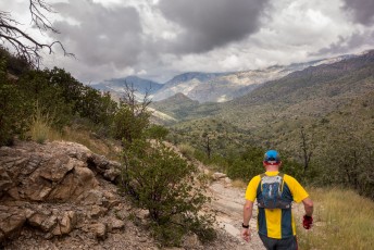
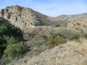
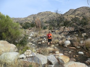
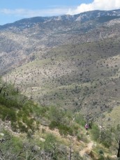
From the old Prison Camp this hike takes you up to Shreve Saddle (great views!), plunges down towards Bear Canyon and Sycamore Reservoir (constructed for the Prison Camp – no longer really a ‘reservoir’ but there is often water here), wanders along Sycamore Canyon and finally climbs to a saddle with views of the East Fork Trail and West Fork Trail. The Sycamore Reservoir Trail #39 is a well used trail – and for good reason! Just remember as you head down that you will have to hike back up…
Hike Stats
- Out and Back
- 7 miles
- 1,100' Elevation Gain
- 1,100' Elevation Loss
- Highest Elevation: 5,000'
- Lowest Elevation: 4,400'
Location
- This hike is located in the Santa Catalina Mountains north of Tucson, Arizona.
- Start/End: Gordon Hirabayashi Recreation Site (Lower Highway Hikes)
Details
- Fee: No
- Dogs: Yes
- Bikes: No (Pusch Ridge Wilderness)
- Part of the Arizona Trail
Drive
- 21.3 miles from Speedway and Campbell
- 45 Minutes from Speedway and Campbell
- Vehicle Access: Most of the drive is Paved Roads/Passenger Car (Mountain Road - be careful of weather conditions!) - the drive to the end of the road parking area is on a dirt road that is generally in good condition and passenger car friendly.
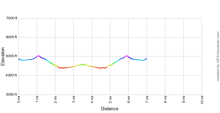
Sycamore Reservoir Trail Elevation Profile
Driving Directions
Suggested driving directions from the Speedway and Campbell intersection in Tucson to the Gordon Hirabayashi Recreation Site:
- Drive East on Speedway (5.0 miles)
- Left on Wilmot and continue on Tanque Verde (4.3 miles)
- Left on Catalina Highway (11.8 miles)
- Signs mark the turn into the Gordon Hirabayashi Recreation Site on the down-mountain side of the Highway.
- If the gate is closed: park in the paved upper parking or one of the dirt pullouts and walk to the parking area at the end of the dirt road (this will add to the total mileage of your hike). If the gate is open: drive the 0.3 miles to the parking area at the end of the dirt road. Restrooms are located just before the parking circle at the end of the road (the restrooms may be closed seasonally) – no water is available.
Google Maps Directions from the Speedway and Campbell intersection in Tucson to Gordon Hirabayashi Recreation Site.
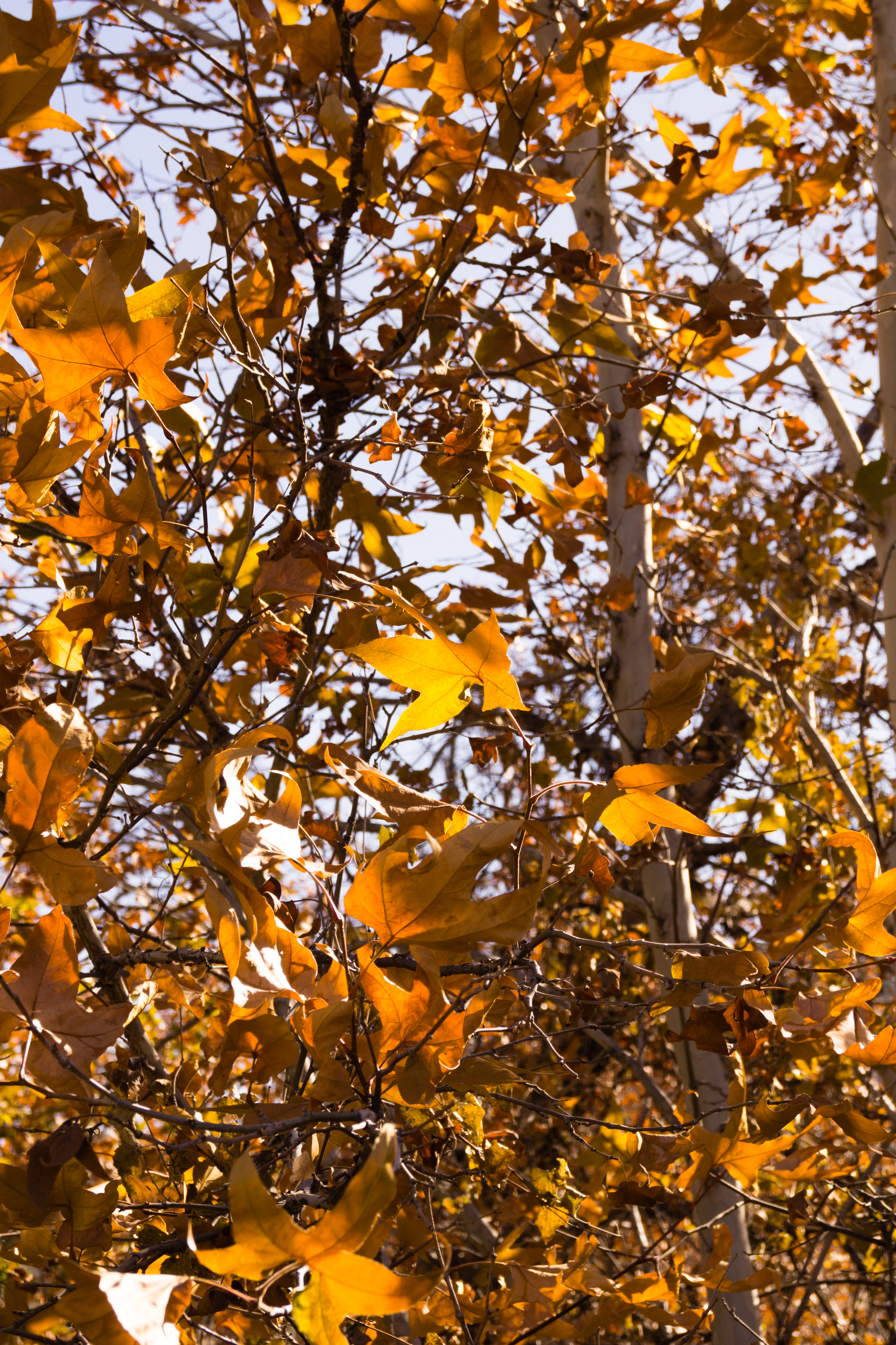
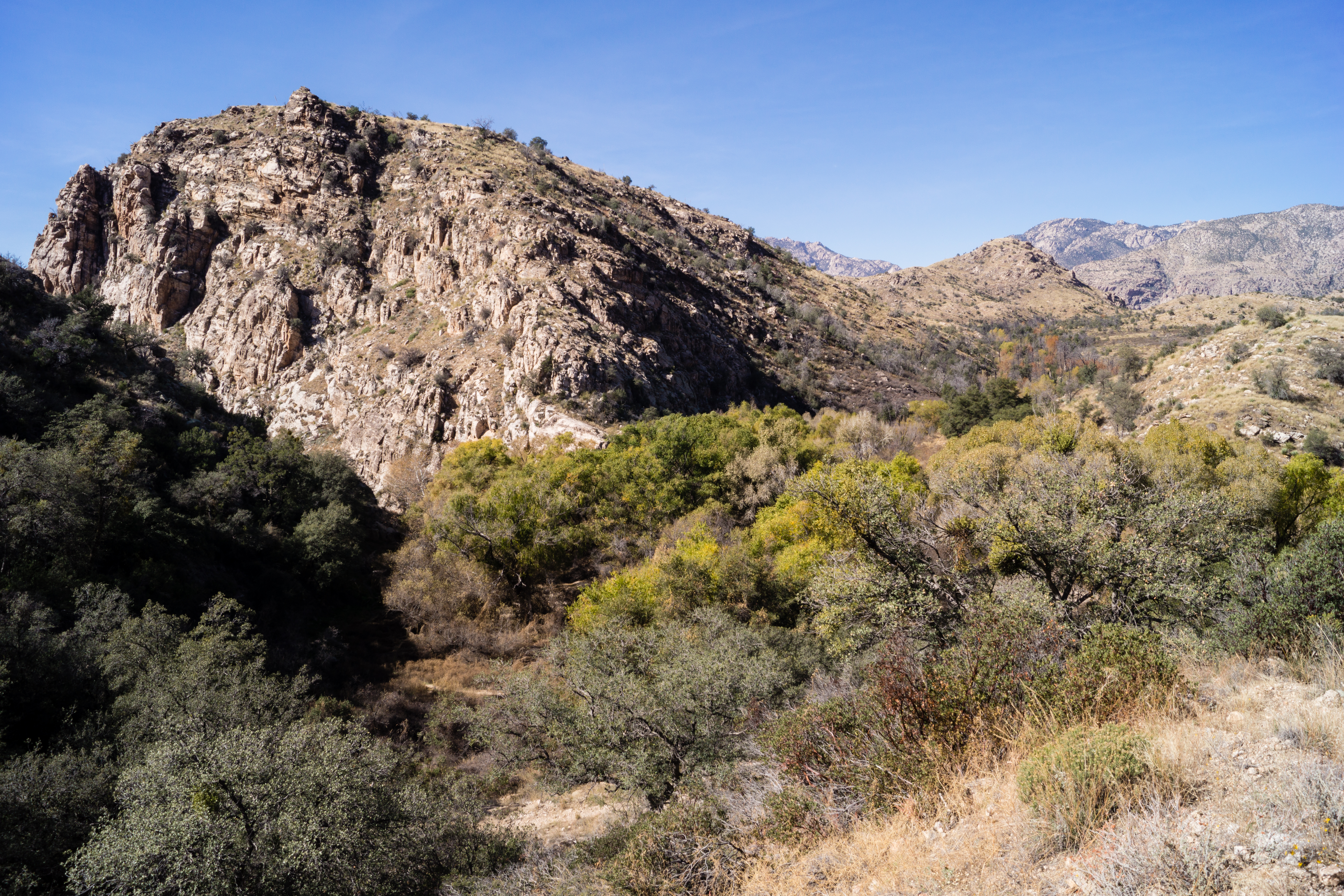
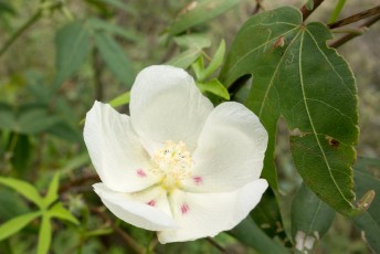
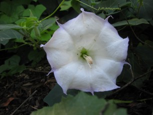
Right: Fall colors near Sycamore Canyon. November 2014.
Trail Notes
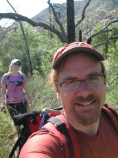
This hike is great as out and back – or use the East Fork Trail or Bear Canyon Trail to create a longer hike.
[CueListWarning]
- 0.0 miles, 4850′: This hike starts from the Gordon Hirabayashi Recreation Site. If the gate is open drive thru the campground area and use the parking area at the end of the road [Waypoint THGHC]. If the gate is closed park in the upper parking area and walk the road (this will add approximately 0.3 miles to your hike) [Waypoint THGHU].
- A short connector trail leaves from the south side of the parking loop between the last small parking area and a large parking pull out. The connector will take you up to a large trail sign for the Molino Basin Trail [Waypoint MB07]. Turn right onto the Molino Basin Trail.
- 0.2 miles, 4850′: Pass the signed junction with the Soldier Trail [Waypoint SO-MB] and cross a wash near an old wall. Continue towards the Sycamore Reservoir Trail.
- 0.5 miles, 4850′: Pass the unmarked junction with the route to Point 4981 Above Hairpin Turn [Waypoint J MB P4981] and continue along the wash – eventually the trail leaves the wash [Waypoint MB08] and climbs to Shreve Saddle.
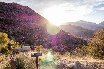
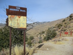
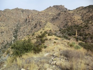
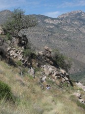
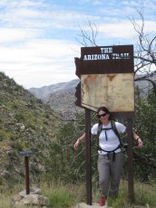
- 1.1 miles, 5000′: Shreve Saddle! Enjoy the great views – Shreve Saddle is named for Forrest Shreve – a botanist who moved to Tucson in 1908 and worked at the Carnegie Institution’s Desert Laboratory. At Shreve Saddle the Molino Basin Trail ends and the Sycamore Reservoir Trail begins as you enter the Pusch Ridge Wilderness (Note: locals will often refer to this entire hike as “the Sycamore Reservoir Trail”…) [Waypoint SR01].
- 1.2 miles, 5000′: Continue downhill from Shreve Saddle – be careful to stay on the main trail, an older/unofficial trail leaves to the right not far from the saddle (the unofficial trail will rejoin the main trail but it is better to use the main/official trail) [Waypoint SR02].
- 2.0 miles, 4600′: An older/unofficial trail comes in just before the final descent into the Reservoir area [Waypoint SR03].
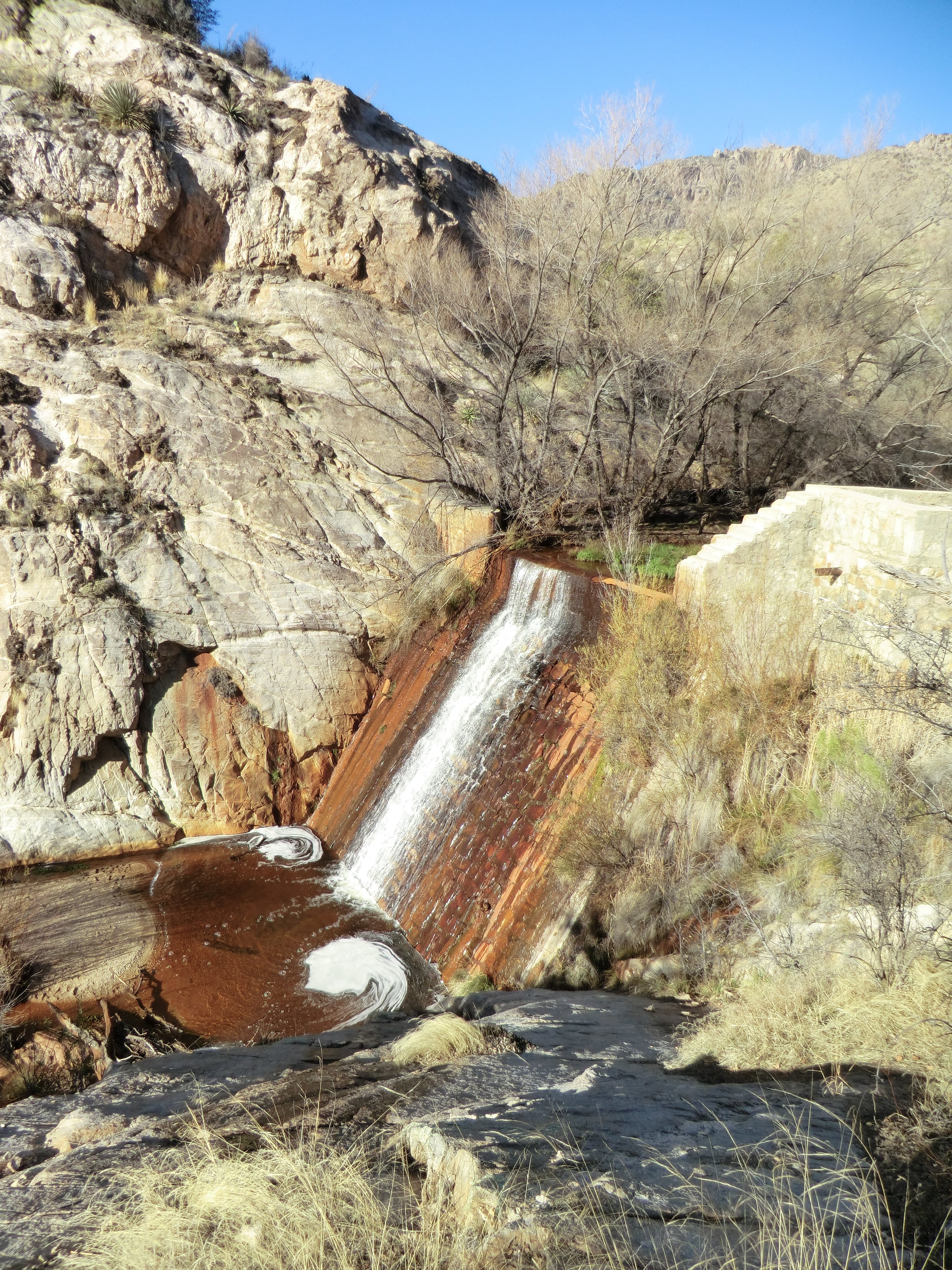
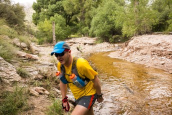
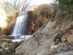
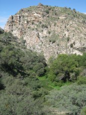
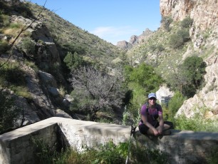
- 2.2 miles, 4500′: At the bottom of a steep hill the vegetation becomes thicker – a trail sign helps point the way – a small spur opposite the trail sign leads to the old dam (worth a visit – be careful on the old structure…). There is a great picture in Look to the Mountains, An in-depth look into the lives and times of the people who shaped the history of the Catalina Mountains that shows the reservoir filled with water and the building on the east side of the dam (for years I assumed that the concrete platform on the east side of the dam had always been open like it is now – what a surprise to see the building!). [Waypoint SR04]
- 3.1 miles, 4500′: Unsigned junction with the Bear Canyon Shortcut Trail (often marked with a rather large cairn) [Waypoint SR-BRS].
- 3.5 miles, 4600′: The Sycamore Trail ends at a signed junction with the East Fork Trail and the Bear Canyon Trail [Waypoint SR-BR-EF]. From here you can continue onto other trails or re-trace your path back to the Gordon Hirabayashi Recreation Site.
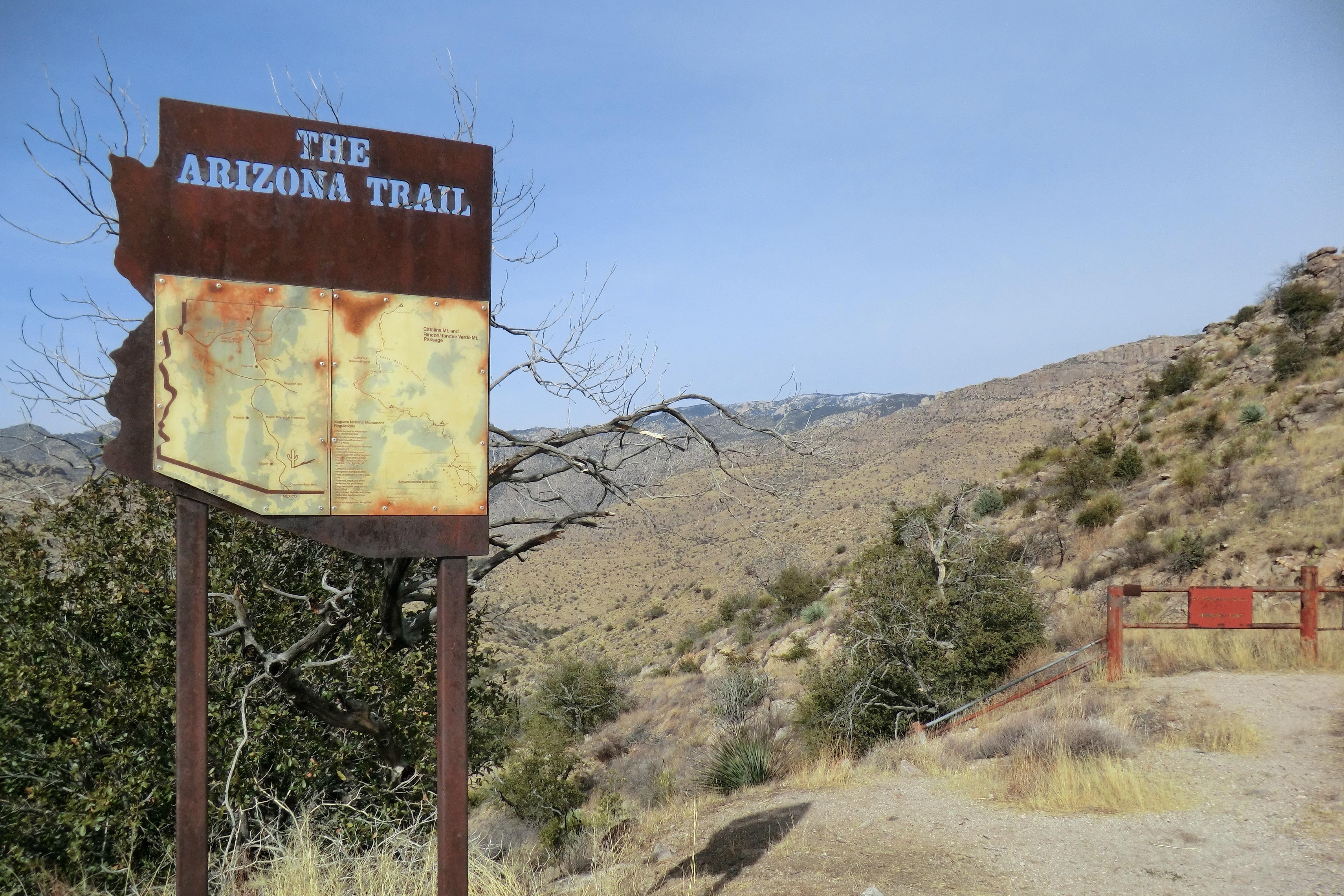
Right: Shreve Saddle in 2015 - after the Arizona Trail sign was removed. May 2015.
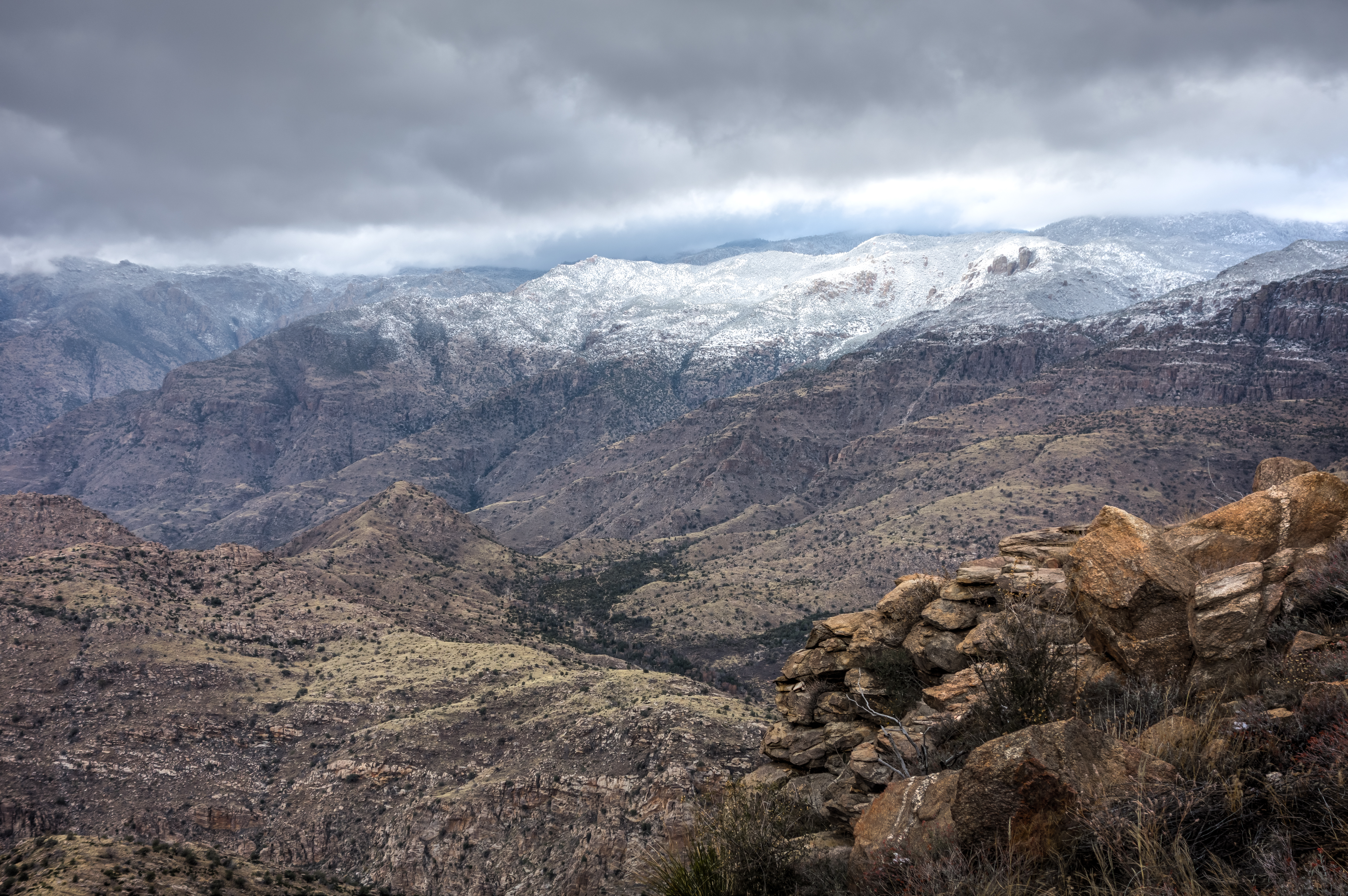
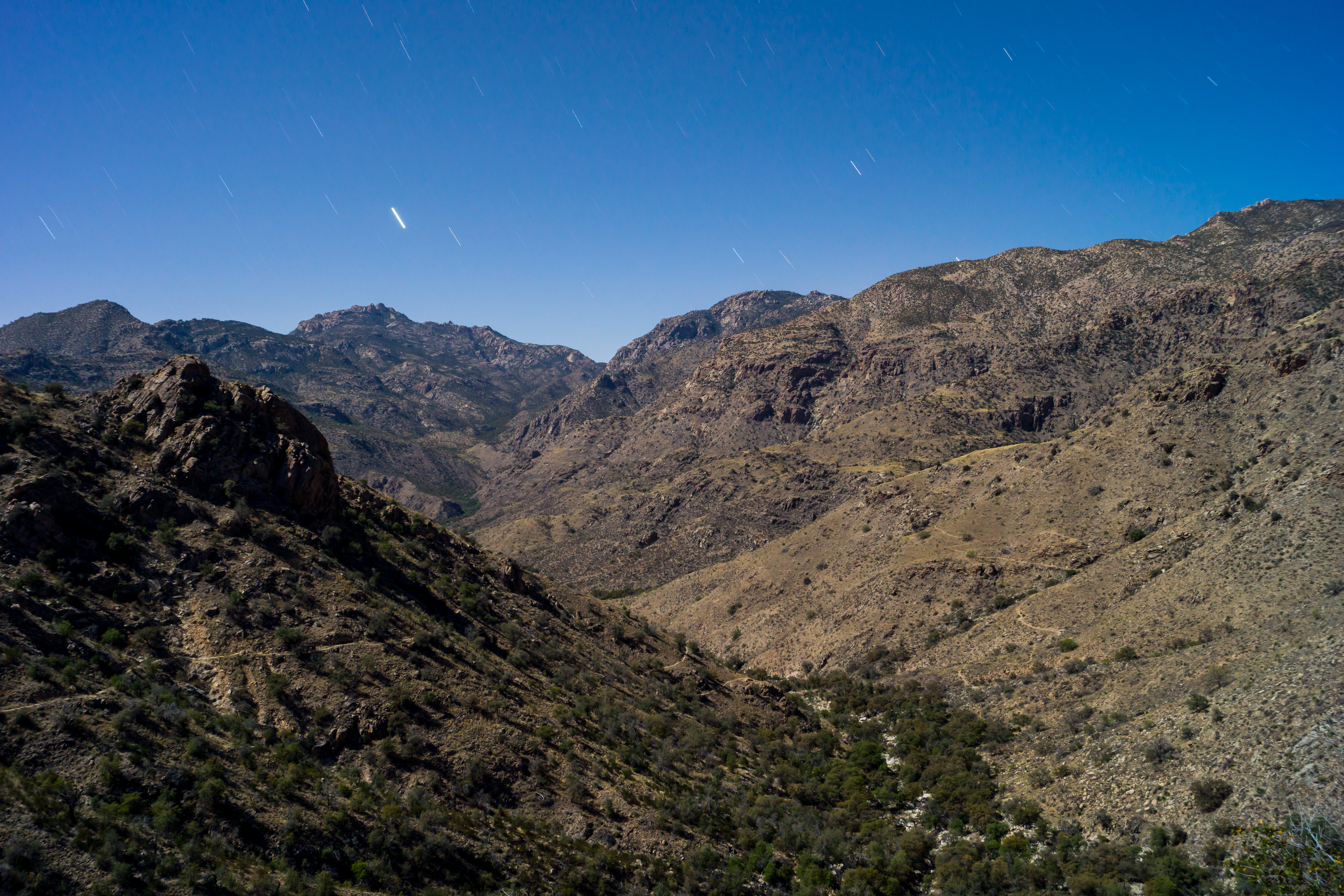
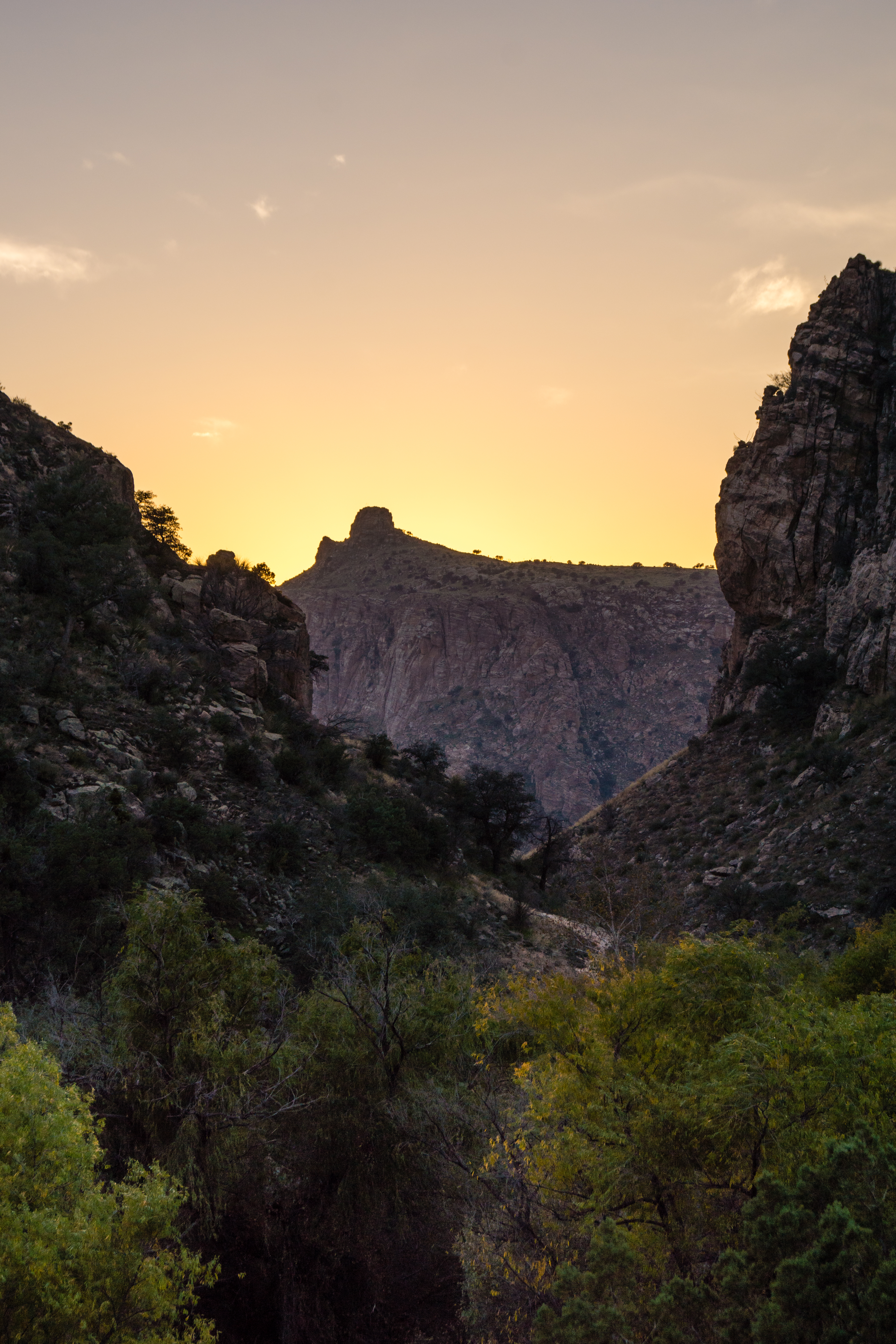
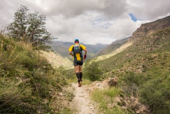
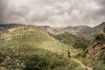
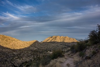
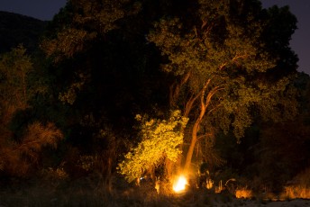
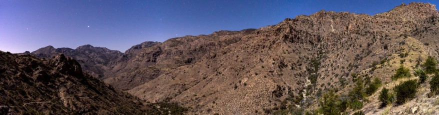
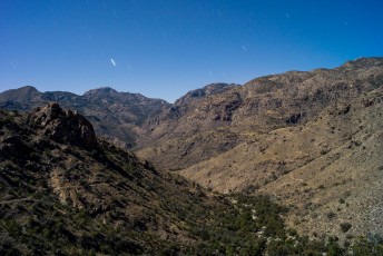
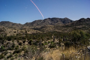
Right: Night in the Santa Catalina Mountains - from a highpoint above the Sycamore Reservoir, Bear Canyon and East Fork Junction. April 2014.
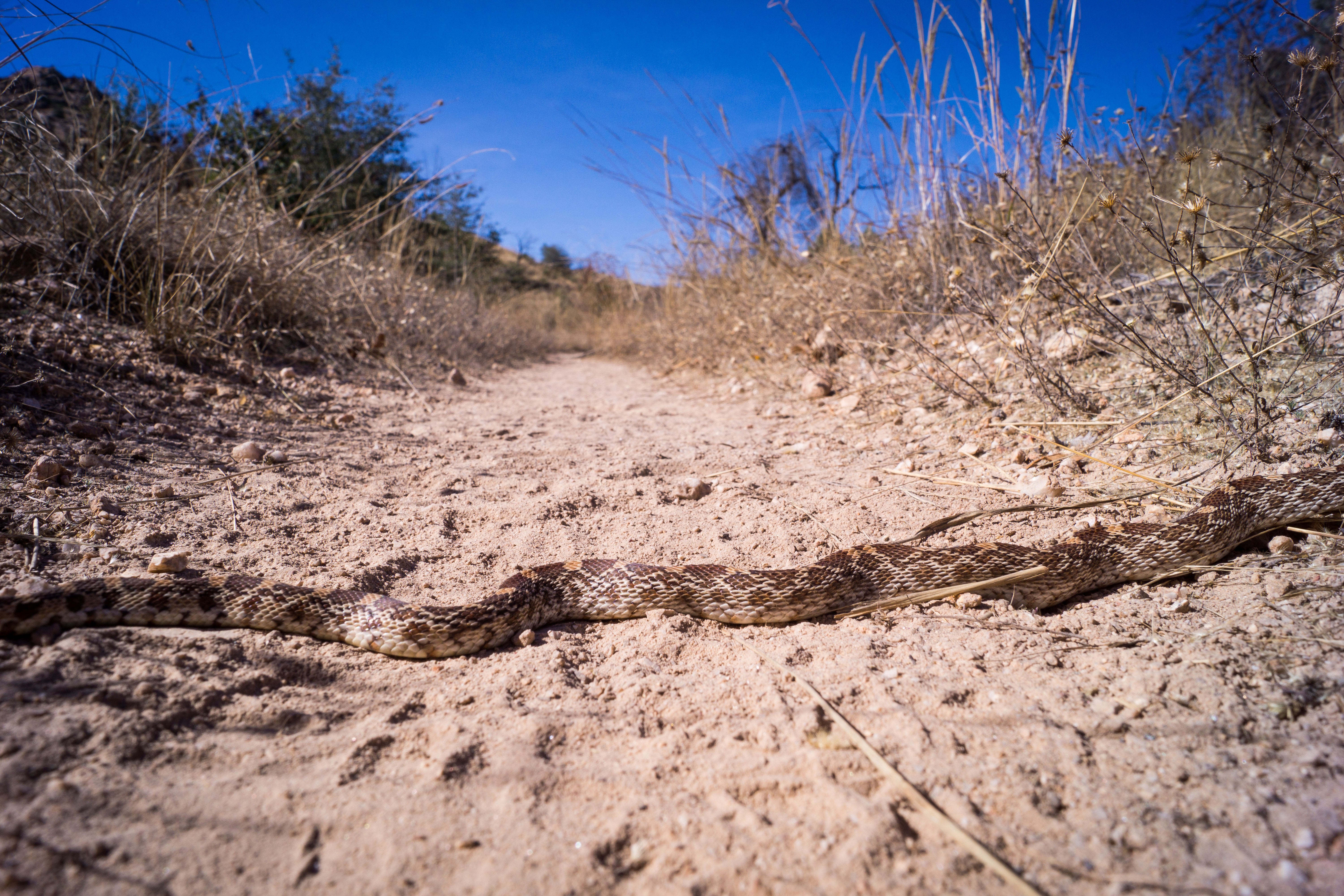
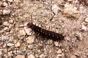
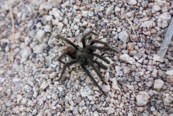
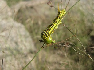
Right: A Gopher Snake on the trail. November 2014.
Resources
- HikeArizona
- Chaoscanyon
- Pirate Girl’s Triathlon Adventures – Merry Christmas from the AZ Trail!
- Letterboxing North America – Sycamore Reservoir Trail Series
- Becoming Is Superior to Being – Hiking The Sycamore Reservoir Trail From The Gordon Kiyoshi Hirabayashi Recreational Area
- Arizona Trail Passage Information
- Coronado National Forest – Sycamore Reservoir Trail #39
- Summit Hut – Trail Talk Blog – Sycamore Reservoir Trail
- (Printed Book) Tucson Hiking Guide, Betty Leavengood
- [GuideYellowBook]
- Posts on HikeLemmon.com:
- Box Camp Trail, Hutch’s Pool, out to Prison Camp – 9/23 and 9/24/2018
- Prison Camp, Thimble Peak, Bear Canyon – 11/28/2015
- Prison Camp to Sabino Canyon – 10/6/2015
- The Shreve Saddle Arizona Trail Sign
- Bigelow Trailhead to the Gordon Hirabayashi Recreation Site – 1/17/2015
- Gordon Hirabayashi Recreation Area to the base of Thimble Peak – 11/23/2014
- Prison Camp to Sabino Canyon, a Competition Between Friends – 9/19/2014
- Sycamore Reservoir – 2014/4/12
Pictures
2014 September Prison Camp to Sabino Canyon
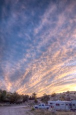
2014 April Camping Near Sycamore Reservoir
2013 October Prison Camp to Sabino Canyon
2012 December Sycamore Reservoir, Bear Canyon Shortcut, Bear Canyon
2011 September Sycamore Reservoir

Update Notes
- 2017/8/15 – HikeLemmon posts added to Resources
- 2017/8/6 – Img Srcset update
- 2015/6/1 – Added information about removal of the AZ Trail sign and new Shreve Saddle picture, fixed several typos, rewrote several passages, small touch ups to pdf map
- 2015/2/13 – Updated GPX with Google elevation information and smoothed results, added new elevation profile
- 2014/11/27 – Updated cue list text, slight tweaks to GPS file, re-worked map, added new pictures and took out some older pictures.
- 2014/9/23 – Added downloadable PDF Map, small changes to GPS file waypoint names
- 2014/6/27 – Waypoints to DEM elevation.
- 2014/6/26 – Cleaned up track name in GPX, added several new pictures (Snow and Night) and updated format
- 2014/4/2 – Updated Hiking notes and GPX with several waypoint from the Molino Basin Trail update.
- 2014/3/28 – Added brief info on Forrest Shreve
- 2014/3/20 – Updated with mileage and elevation, reworked waypoint info, updated map and included waypoint names,
- 2014/3/10 – Move to WordPress, add elevation profile
- 2014/1/28 – Format update, new pictures, driving directions.