
Overview
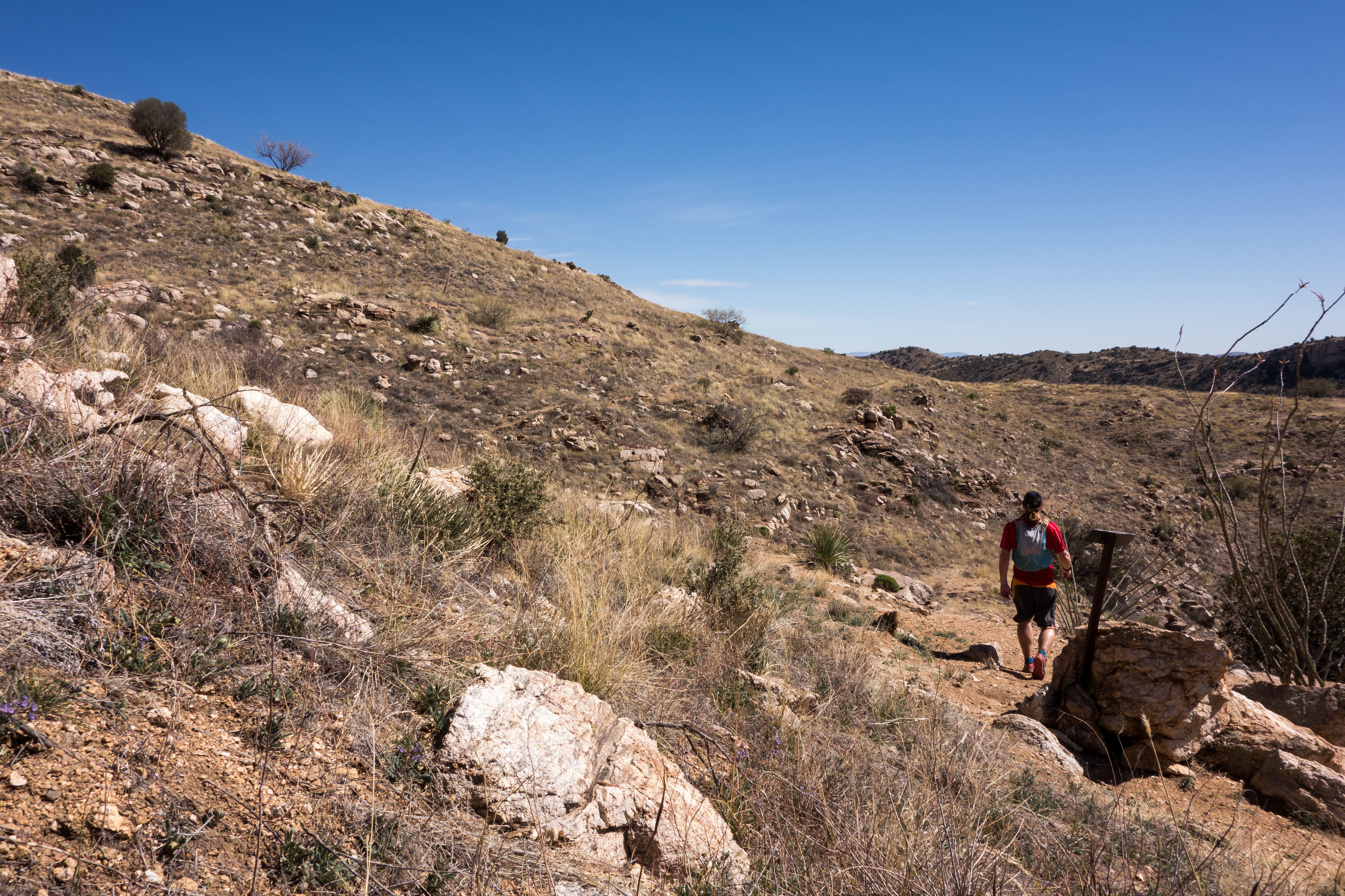
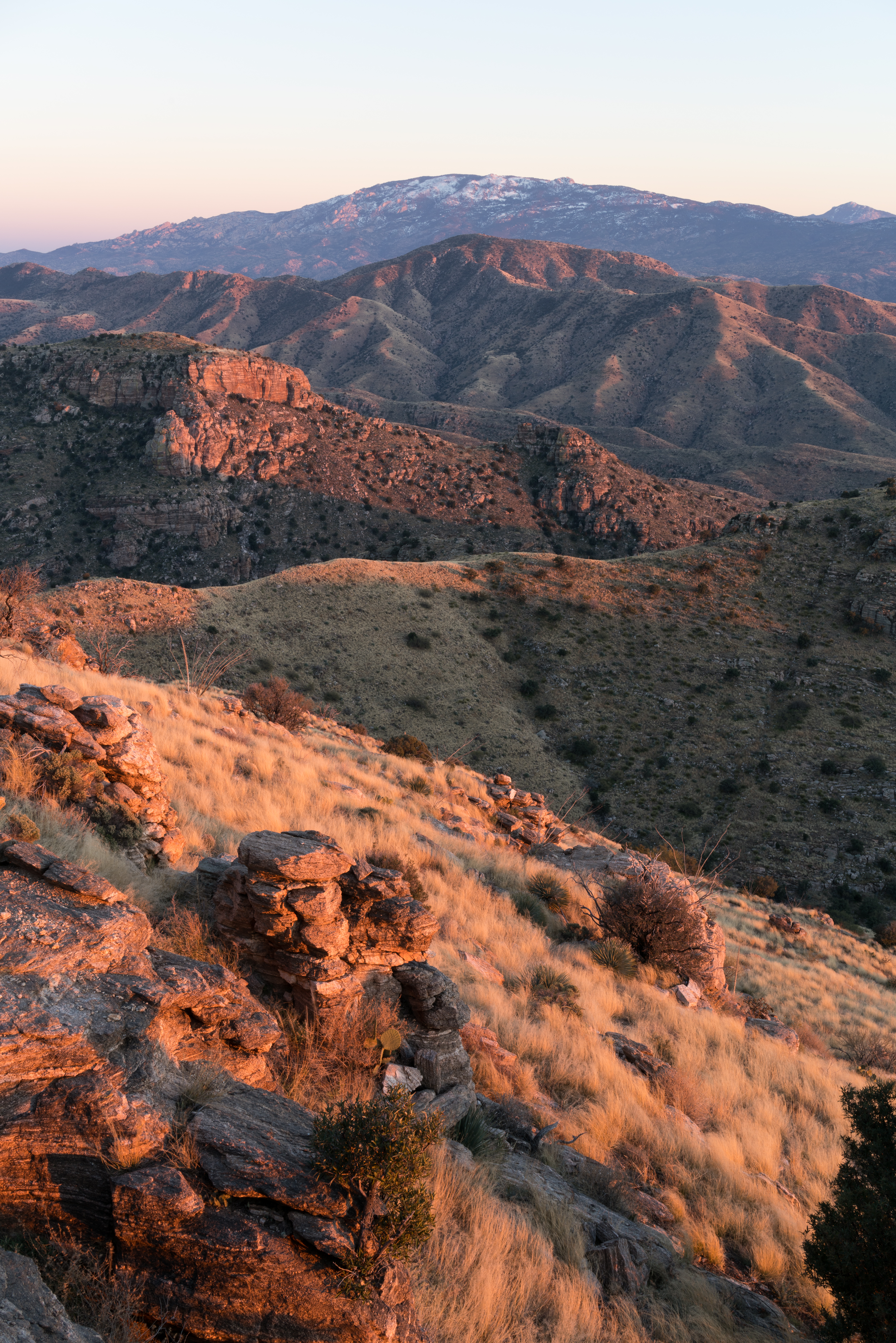
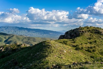
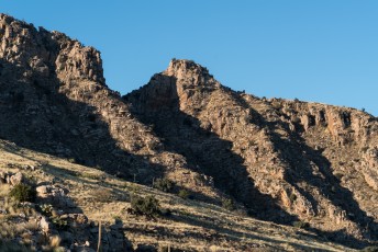
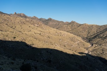
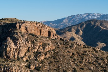
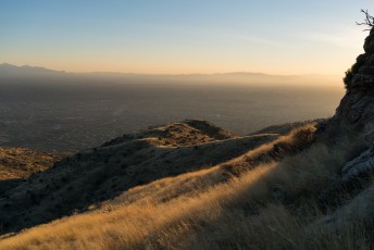
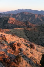
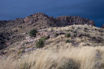
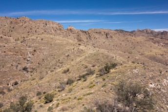
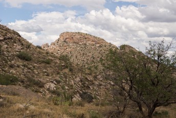
The Babad Do’ag Trail #705 is a restored route up MacDougal Ridge that provides an interesting ramble thru the Saguaros, along a canyon and across a short grassy ridge with interesting views.
Hike Stats
- Out and Back
- 4.5 miles
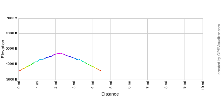
- 1,250' Elevation Gain
- 1,250' Elevation Loss
- Highest Elevation: 4,700'
- Lowest Elevation: 3,550'
Location
- This hike is located in the Pusch Ridge Wilderness in the Santa Catalina Mountains north of Tucson, Arizona.
- Start/End: Babad Do’ag Vista and Trailhead Parking (Lower Highway Hikes)
Details
- Fee: No
- Dogs: Yes
- Bikes: No (Pusch Ridge Wilderness)
Drive
- 16.5 miles from Speedway and Campbell
- 35 Minutes from Speedway and Campbell
- Vehicle Access: Paved Roads/Passenger Car (Mountain Road - be careful of weather conditions!)
Babad Do’ag Trail Elevation Profile

Driving Directions
Suggested driving directions from the Speedway and Campbell intersection in Tucson to the Babad Do’ag Vista and Trailhead Parking:
- Drive East on Speedway (5.0 miles)
- Left on Wilmot and continue on Tanque Verde (4.3 miles)
- Left on Catalina Highway (7.1 miles)
- Signs will help you find the turn into this area - the parking here serves both a nice vista with several informational signs and the Babad Do'ag Trail. Babad Do’ag Trail starts across the highway (on the down-moountain side) just up-mountain from the parking area - the start of the trail is marked with a sign.
Google Maps Directions from the Speedway and Campbell intersection in Tucson to Babad Do’ag Vista and Trailhead Parking.
Trail Notes
[CueListWarning/]
- 0.0 miles, 3550′: Start from the Babad Do’ag Vista and Trailhead Parking [Waypoint thbd], walk out of the parking area and up the highway – the trail leaves the highway a few hundred feet up the highway on the down-mountain side (marked by a small trail sign). [Waypoint BD01]
- 0.15 miles, 3650′: As you continue along the trail avoid an old trail to the right – you may have to look carefully to find the trail especially after the monsoon rains when everything is green and growing. [Waypoint BD02]
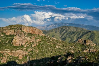
- The trail continues to climb towards Point 4780 and eventually begins to parallel the canyon to the west on the hillside below Point 4780.
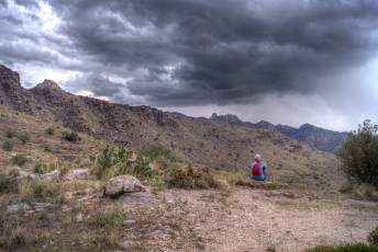
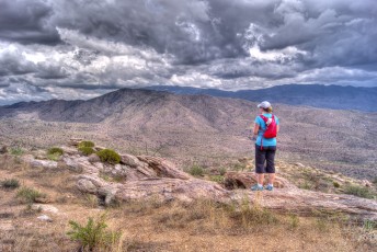
- 1.1 miles, 4250′: A nice vista close to the trail. [Waypoint BD03]
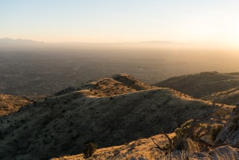
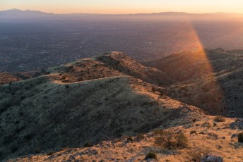
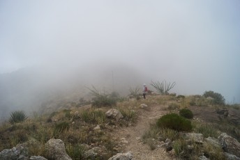
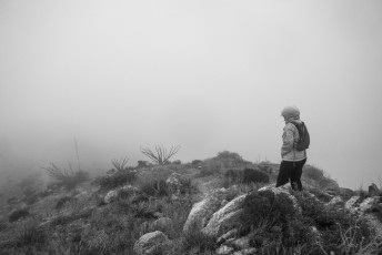
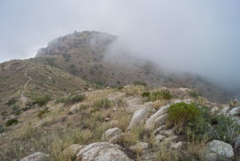
- 1.9 miles, 4650′: At a well worn junction an unofficial route splits off to the right (this route can be used to reach Point 4780) while the Babad Do’ag trail continues to the left/north across a short ridge with great views. [Waypoint BD04]
- Towards the end of the ridge the trail continues to contour around the canyon – the last short stretch of trail to the end of the trail can be difficult to find…
- 2.2 miles, 4700′: The end of the trail is marked by a sign. From here there a number of possible off-trail destinations but the simplest hike is to reverse your route back to the parking area. [Waypoint bdend]
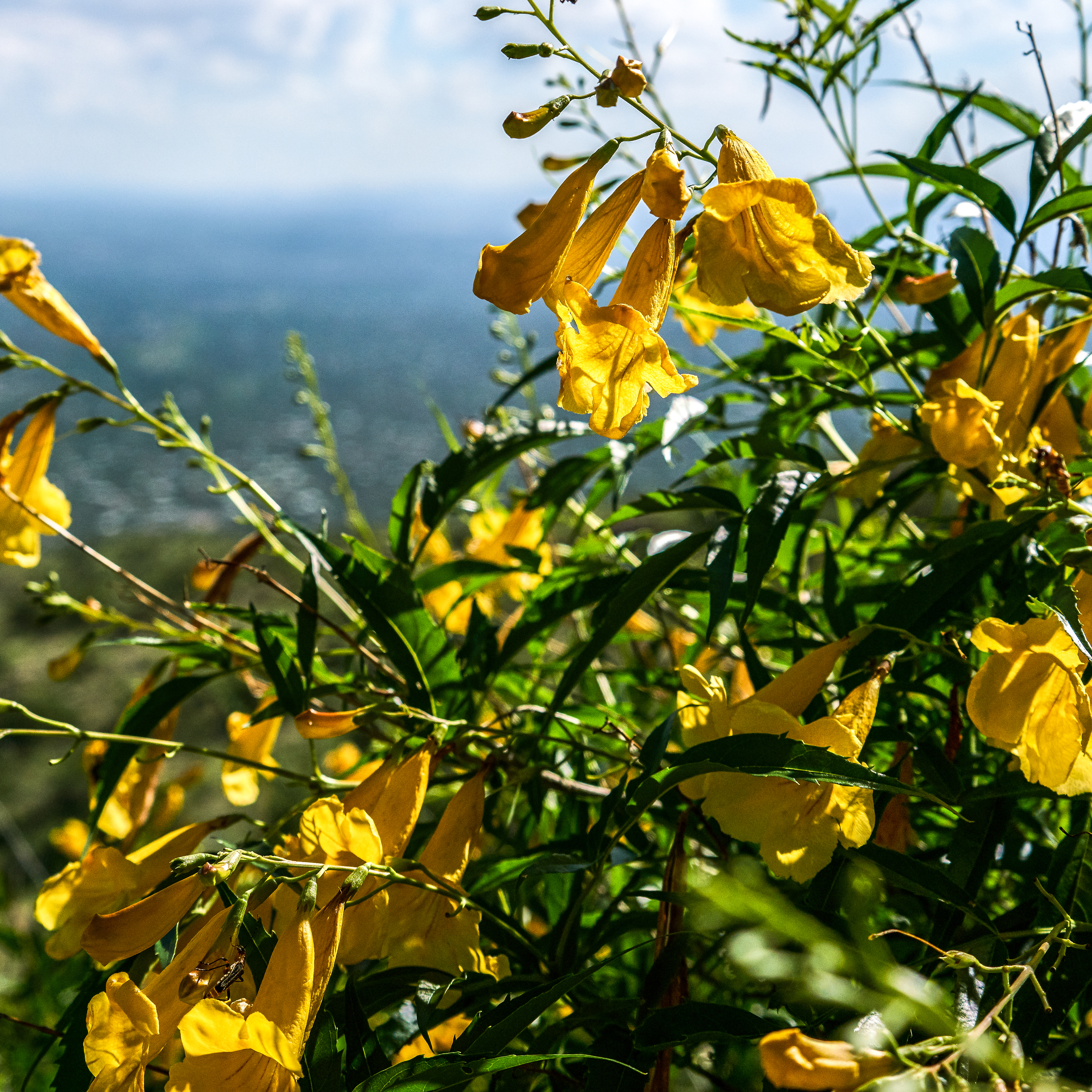
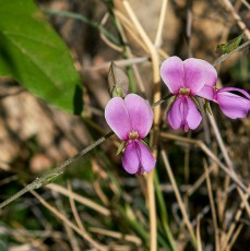
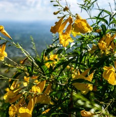
Right: Yellow Trumpet Bush on the Babad Do'ag Trail. August 2017.
MacDougal Ridge bears the name of Dr. Daniel Trembly MacDougal (1865-1958). Dr. MacDougal received a Master of Science degree from DePauw University, a PhD from Purdue University and did post-doctoral studies in Leipzig and Tubingen during a leave of absence from a position at the University of Minnesota. Dr. MacDougal’s direct connection to Arizona started in 1891 when he spent the summer collecting plants in Northern Arizona for the USDA. He would later return to Arizona and visit the Tucson area while working to establish the Desert Laboratory on Tumamoc Hill for the Carnegie Institute. In 1905 he left the a position with the New York Botanical Garden and became the Director of the Desert Laboratory – a position he would hold until his retirement in 1928. While Tumamoc Hill is not directly connected to the Santa Catalina Mountains researchers from the Institute, such as Forest Shreve, visited and did research in the Santa Catalina Mountains in the early 20th century.
Macdougal’s Nipple Cactus – Mammillaria heyderi var. macdougalii – an interesting ‘flattened’ cactus native to the Tucson area is named for MacDougal.
Babad Do’ag is the Tohono O’odham name for the Santa Catalina Mountains – it means “Frog Mountain” and is part of the title of what is probably the most well known book about the Santa Catalina Mountains, Chuck Bowden’s Frog Mountain Blues.
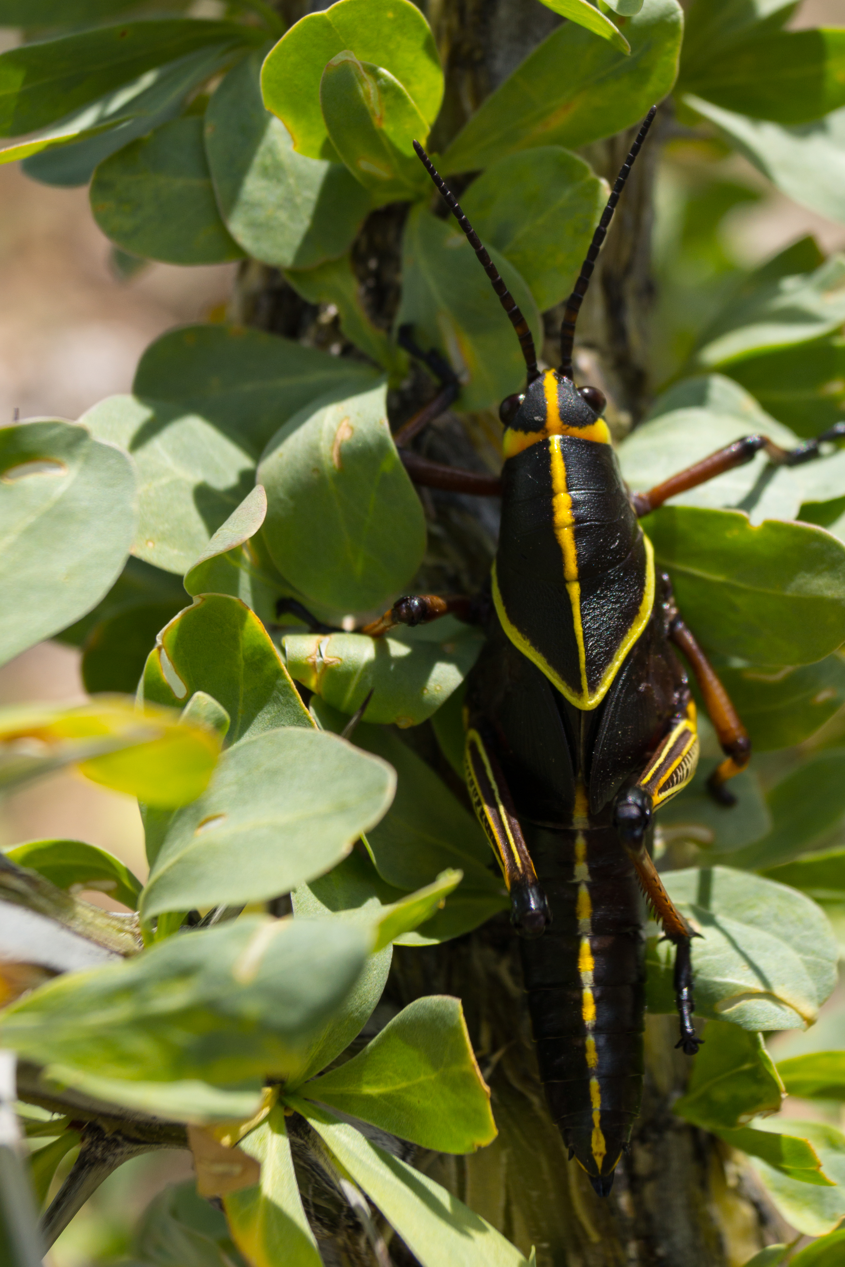

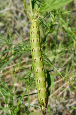
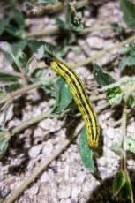
Right: White-lined Sphinx Moth Catepillar - by headlamp on a cool summer evening. September 2014
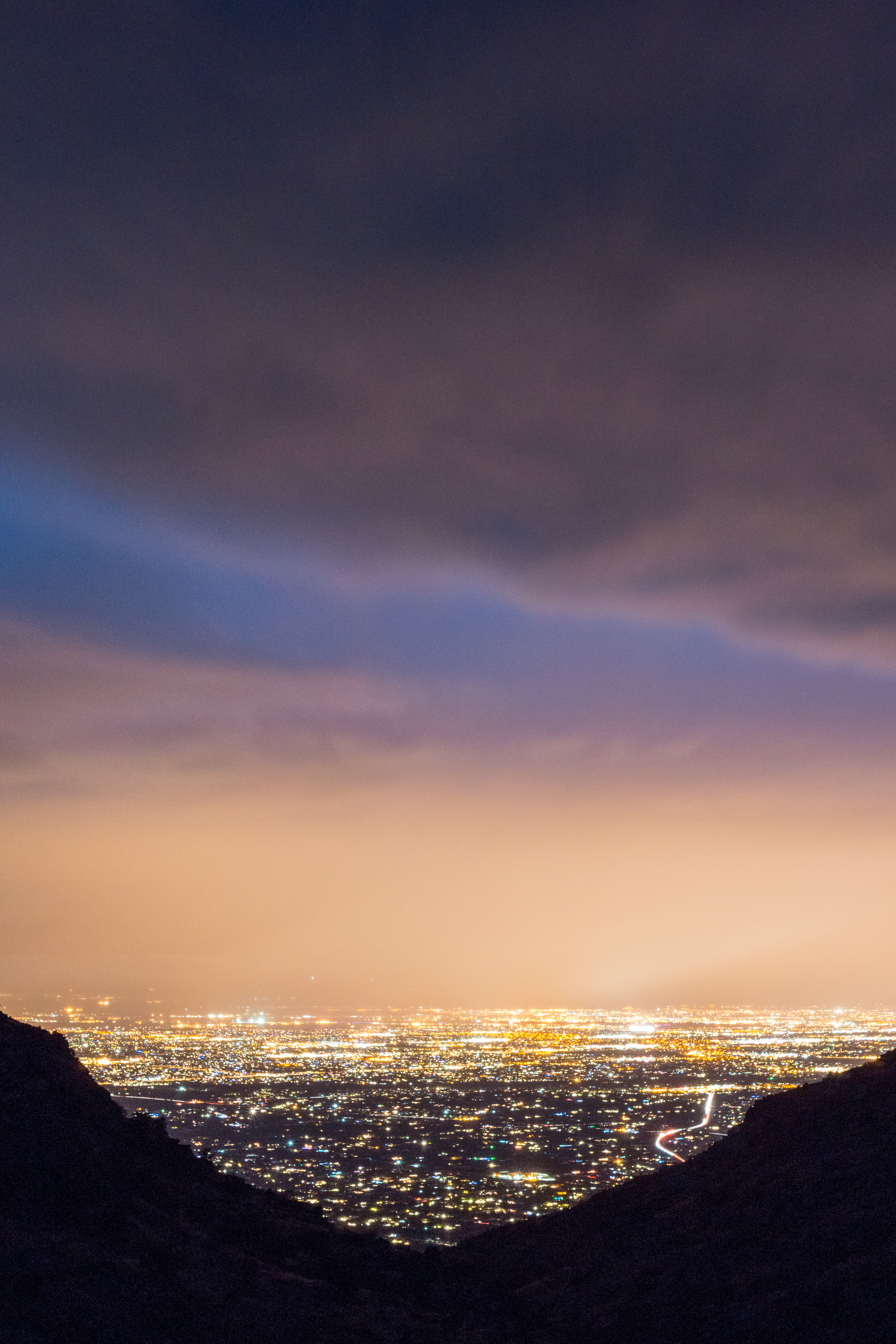
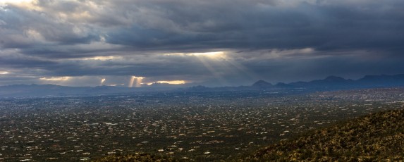
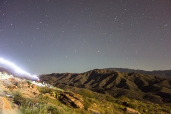
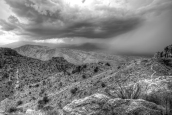
Right: City lights and clouds from a storm from the Babad Do'ag Trail. December 2014
Resources
- HikeArizona
- Summit Hut – Trail Talk
- Tucson Hikes – AZDean
- Links to information about Daniel Trembly MacDougal:
- ‘DANIEL TREMBLY MACDOUGAL: PIONEER PLANT PHYSIOLOGIST‘; Plant Physiology, Volume 14, Number 2 (April, 1938)
- ’Daniel Trembly MacDougal: 1865-1958’ in News and Notes; A.E. Murneek; Plant Physiology, Volume 33, Number 5 (September, 1958), pp. 383-384;
- University of Arizona’s Desert Laboratory on Tumamoc Hill – Tumamoc Hill Timeline
- Biographical Notes from the New York Botanical Garden’s entry on the Daniel T. MacDougal Papers
- Arizona Historic Society – MacDougal, Daniel Trembly, 1865-1958, Papers, 1889-1938 (bulk 1903-1915)
- Posts on HikeLemmon.com:
- Tortoise Shell – 5/12/2019
- Flowers and Fire on the Babad Do’ag Trail – 8/14/2017
- Snow and Ice, Lambs, Babad Do’ag, Missing Hiker – 2/2/2016
- Babad Do’ag Trail and Sunset on the Highpoint above the End of the Trail – 1/20/2016
- End of the day on the Babad Do’ag Trail – 12/25/2014
- Babad Do’ag Trail at Night – 9/1/2014
- Babad Do’ag Trail and Guthrie Mountain – 2014/2/27
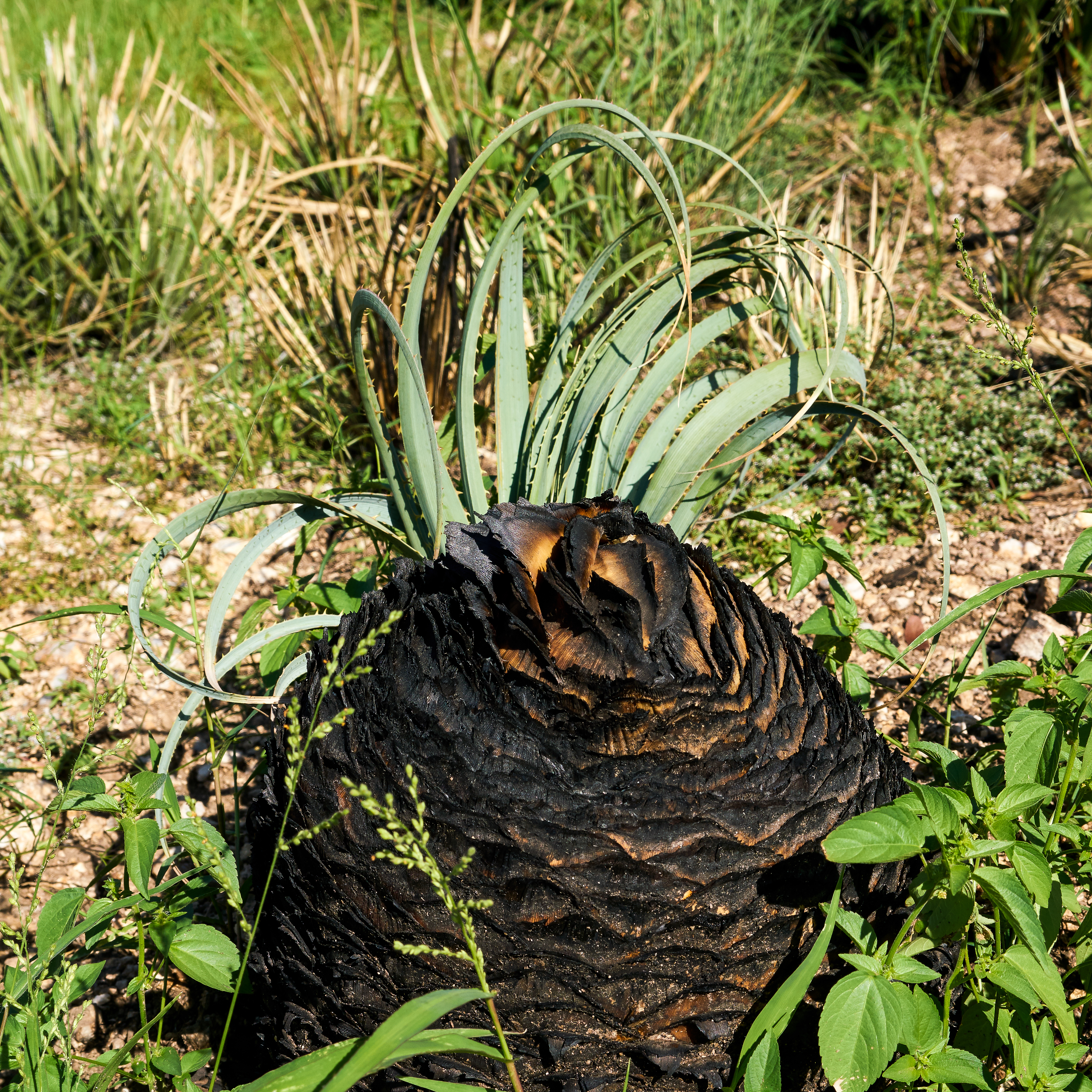

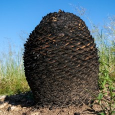
Right: An agave burned in the ~80 acre Molino Fire - the impact on the Babad Do'ag Trail was minimal. August 2017.
Pictures
2017 August Babad Do’ag Trail

2016 January Babad Do’ag and Point 5069
2014 December Babad Do’ag Trail

2014 September Babad Do’ag Trail
2014 February Babad Do’ag Trail
2013 August Babad Do’ag

Update Notes
- 2017/9/6 – Added two pictures of agave burned in the April 2017 Molino Fire
- 2017/9/4 – Added information on D. T. MacDougal and a link to Frog Mountain Blues
- 2017/9/2 – Added new pictures and new picture set, layout changes
- 2017/8/15 – HikeLemmon posts added to Resources
- 2017/7/29 – Srcset image update
- 2016/1/23 – Fixed broken images, added new flickr photo sets, updated GPX, small text updates, picture updates, fixed link typo to Summit Hut Blog
- 2014/11/3 – Added name note, PDF Map and description, small GPX name changes
- 2014/9/23 – Tweaked GPX and added downloadable PDF Trail Map
- 2014/9/13 – Added additional pictures (+rearrange and format)
- 2014/7/18 – Format Update
- 2014/3/20 – Updated waypoint data on map and in page
- 2014/3/17 – Added Pictures
- 2014/3/16 – First raw version