Location
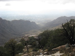
This hike is located in the Santa Catalina Mountains near Tucson, Arizona. This hike is in the Pusch Ridge Wilderness – because part of this hike does not use an official trail it is closed from January 1 to April 30 due to the Pusch Ridge Wilderness Bighorn Sheep Restrictions.
Notes
This is a great destination – but has a decent amount of uphill/downhill and off trail miles making it more strenuous than you might first guess from the mileage… Best done when it is cool in town!
- Park at the Iris Dewhirst Pima Canyon Trailhead
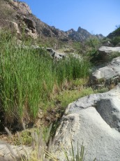
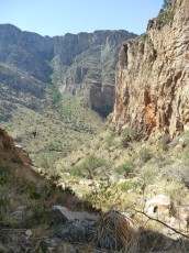
- Take Pima Canyon approximately 3 miles to the dam (I have read this was built by Game and Fish in the 1960s)
- Just past the dam (not before!) look for a gully that heads steeply up to the NW – I have tried several different ways to get into the gully but I am not quite sure of the ‘best’ way
- Take the faint trail running up the gully
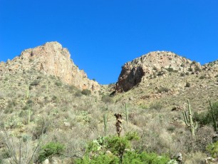
- There are some cairns to guide you towards the top, but from here I often end up wandering a bit… I think it is generally easier to stay closer to the Pima Canyon side of Table Mountain
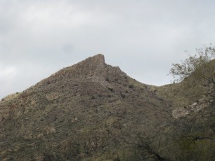
Table Mountain is in the Pusch Ridge Wilderness and is closed from January to the end of April for Bighorn Sheep and dogs are not allowed.
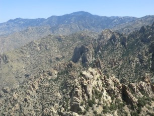
This is a classic backcountry climbing destination – in addition to interesting photos and route descriptions Mountain Project has some information for approaching/hiking to Table Mountain.
Hernbrode Tank: In the ?late 1960s? a large tank was airlifted to the Table Mountain area to provide water for the Bighorn Sheep in the area – it is referred to as the Hernbrode Tank in Cowgill and Glendening guide, in reference to Bob Hernbrode.
Stats (approximate)
10.3 miles
3600′ elevation gain
Garmin Connect: May 17, 2012
Resources
summitpost.org (note the Pima Canyon Gully route information)
A Night on Table Mountain Note that this is particularly interesting if you are interested in the Southwest Ridge Route to Table mountain (that name is from [GuideYellowBook/]). The Southwest Ridge Route leaves Pima Canyon earlier than the gully route (‘Route 2’ in [GuideYellowBook/]) and takes a longer/less steep route up off trail up to Table Mountain – having done both I think this is largely a ‘six of one half dozen of the other’ type situation with the gully route perhaps tending to be slightly quicker. Also see Spring Break Part 4: Table Mtn. 6,265′ 05.12.10 for more Southwest Ridge pictures and information.
[GuideYellowBook/]
Maps
While both the Green Trails and Southern Arizona Hiking Club Map show this area – and Table Mountain is in view for quite a bit of the hike, I think it is better to have more detailed maps – such as the USGS Tucson North and Oro Valley Quads – for this off-trail adventure.
Map via Gmap4 with May 2012 Track (GPX) – From Pima Canyon using the gully past the dam both up and down, I am still not sure of the cleanest route into the gully and I would not use this track as anything more than a general guide. As usual, really mostly wandered to the top of Table once I had gotten past the top of the gully.
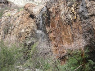
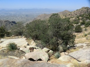
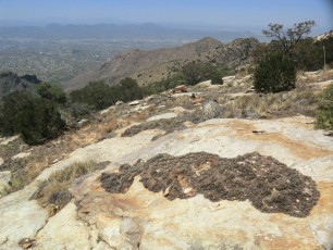
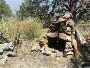
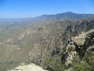
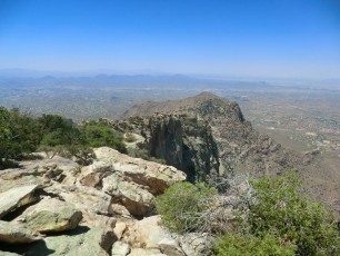
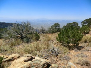
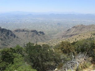
Pictures
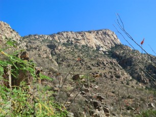
2012 May Table Mountain
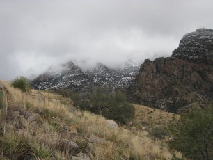
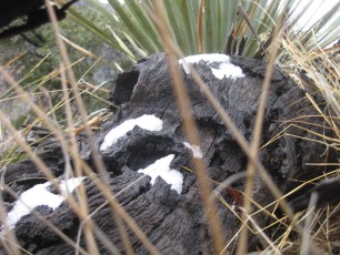
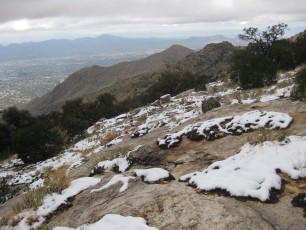
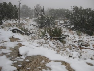
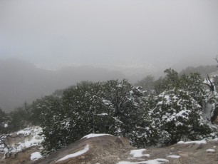
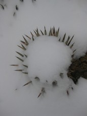
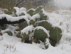
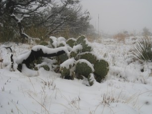
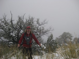
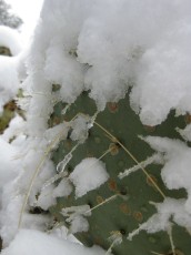
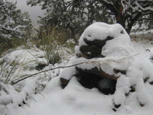
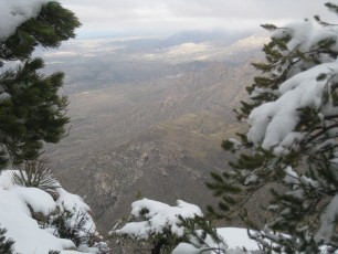
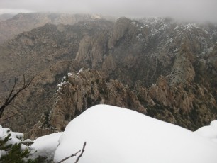
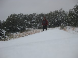
2011 Dec Table Mountain in the Snow!!!