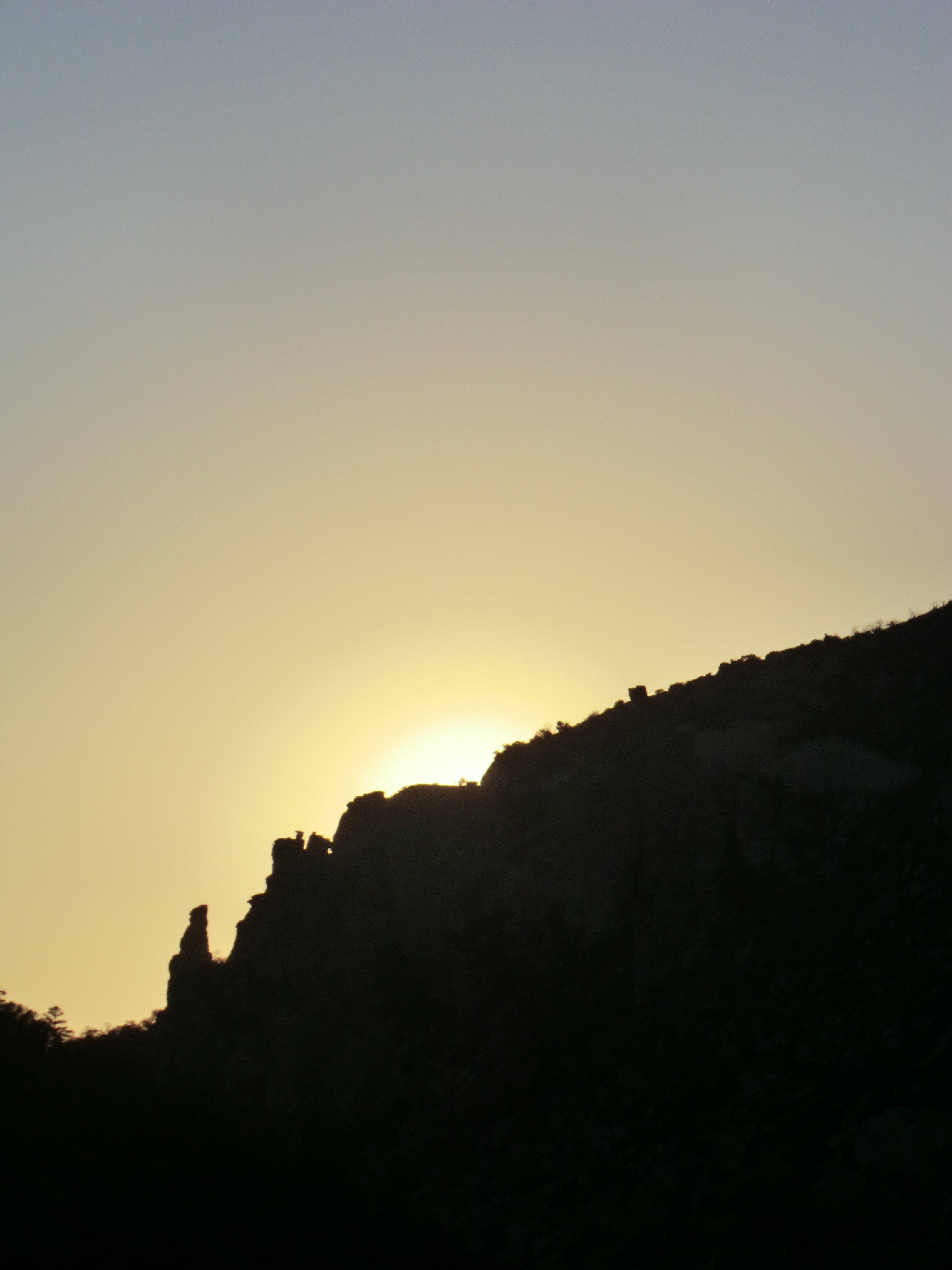
Sunset from the Bug Spring Trail. February 2012
Overview
This popular hiking and mountain biking trail runs between the Gordon Hirabayashi Recreation Site area and Bear Canyon.
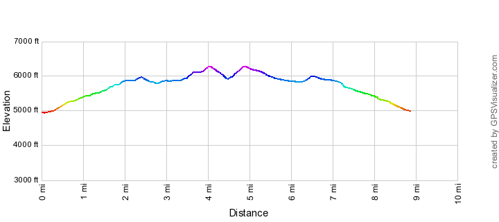
Hike Stats
- Out and Back
- 9.3 miles
- 2,000' Elevation Gain
- 2,000' Elevation Loss
- Highest Elevation: 6,275'
- Lowest Elevation: 4,950'
Location
- This hike is in the Santa Catalina Mountains near Tucson, Arizona.
- Start/End: Bug Spring Trailhead (Lower Highway Hikes)
Details
- Fee: No
- Dogs: Yes
- Bikes: Yes
- Part of the Arizona Trail Pusch Ridge Wilderness Bypass
Drive
- 21.6 miles from Speedway and Campbell
- 45 Minutes from Speedway and Campbell
- Vehicle Access: Paved Roads/Passenger Car (Mountain Road - be careful of weather conditions!)
Bug Spring Trail Elevation Profile
Driving Directions
Suggested driving directions from the Speedway and Campbell intersection in Tucson to the Bug Spring Trailhead:
- Drive East on Speedway (5.0 miles)
- Left on Wilmot and continue on Tanque Verde (4.3 miles)
- Left on Catalina Highway (12.2 miles)
- Signs will help you find the turn into this trailhead.
Google Maps Directions from the Speedway and Campbell intersection in Tucson to Bug Spring Trailhead.
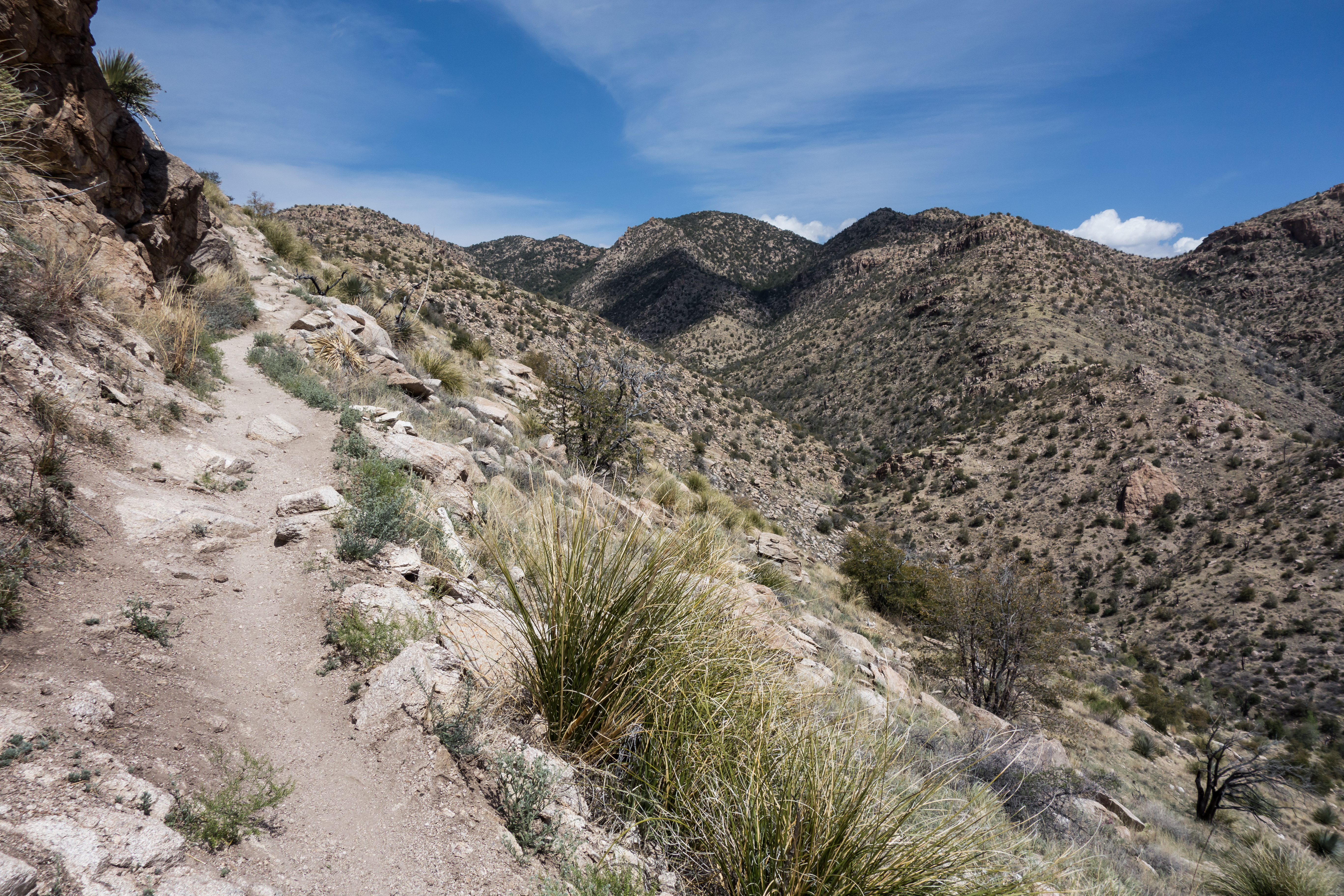
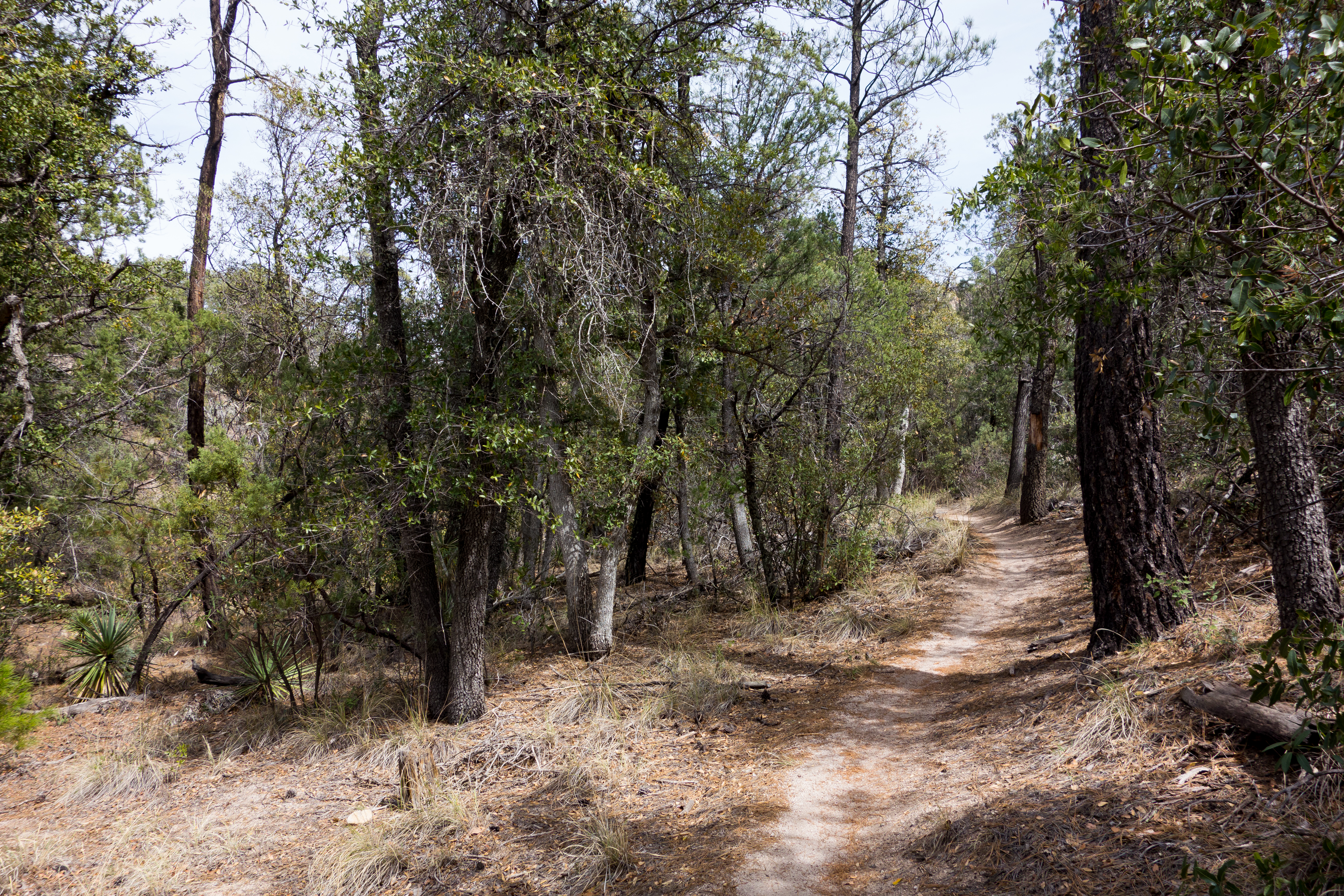
On the Bug Spring Trail climbing to the ridge with the Bug Spring drainage to the east. March 2014
Trail Notes
[CueListWarning]
- 0.0 miles, 4950′: Park at the Bug Spring Trailhead (Alternative: There is a connecter trail that leaves the Gordon Hirabayashi Recreation Site near the upper parking area at a large Forest Service Trail Sign).
- 0.05 miles, 4950′: Signed junction of the Bug Spring Trail and the connecter trail to the Gordon Hirabayashi Recreation Site – this connecter is part of the Arizona Trail Wilderness Bypass.
- 1.3 miles, 5500′: The trail crosses a canyon, there is a small waterfall/drop down canyon that is visible from the highway [Waypoint BST01].
- 2.4 miles, 5950′: The trail leaves the ridge and descends north into the canyon [Waypoint BST02].
- 2.7 miles, 5800′: Trail arrives at the bottom of the canyon east of Bear Canyon – the trail runs along stream (seasonal) crossing several times [Waypoint BST03].
- 3.5 miles, 5900′: The trail switchbacks up from the canyon bottom and then continues along the hillside of the canyon [Waypoint BST04]
- 4.0 miles, 6275′: The highpoint of the trail along the ridge east of Bear Canyon – from here the trail descends into Bear Canyon [Waypoint BST05].
- 4.5 miles, 5900′: Arrive at the Lower Green Mountain (Upper Bug Spring) Trailhead. There are not any services at this trailhead but there are bathrooms at the picnic area down the highway.
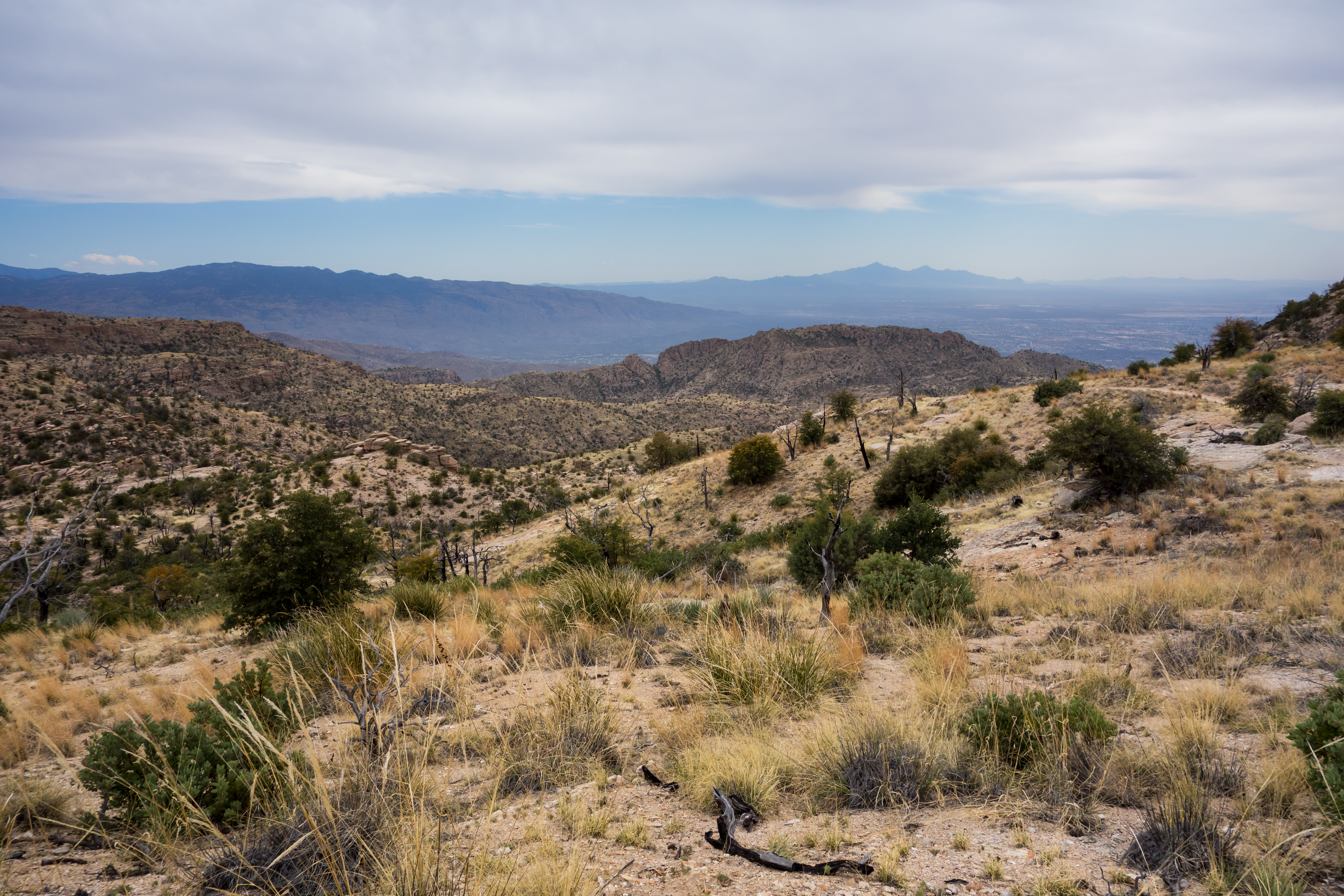
Looking towards the cliffs above Prison Camp with Mount Wrightson in the background. March 2014
Maps
- [MapGreenTrailsCatalina]
- [MapSahcCatalina] – Note this map indicates much of this trail as a route, but it is currently a well maintained trail.
Following the canyon east of Bear Canyon. March 2014
Resources
- HikeArizona
- Trail Talk – Summit Hut Blog
- Tucson Hikes – Bug Spring Trail
- Tucson Trail Runners – Green Bug Run
- Sonoran Desert Mountain Bikers
- Ineo Mons
- [GuideYellowBook] – Note that the trail description in this book mentions sections of the trail being “poor to non-existant”, this trail has received quite a bit of attention since that description and now is an easy to follow, well established trail.

About to cross the General Hitchcock Highway on the Bug Spring Trail connector to the Gordon Hirabayashi Recreation Site. March 2014
Update Notes
- 2017/8/15 – HikeLemmon posts added to Resources
- 2017/7/31 – Img Srcset update, fix two typos in picture captions
- 2017/4/28 – Broken links removed
- 2014/3/27 – improved the GPX and map notes, improved hiking notes, added pictures
- 2014/3/2 – Updated format and converted to WordPress