Guthrie Mountain, Burro Fire Burn – 7/23/2017

Entering the Burro Fire burn on the Guthrie Mountain Trail. July 2017.

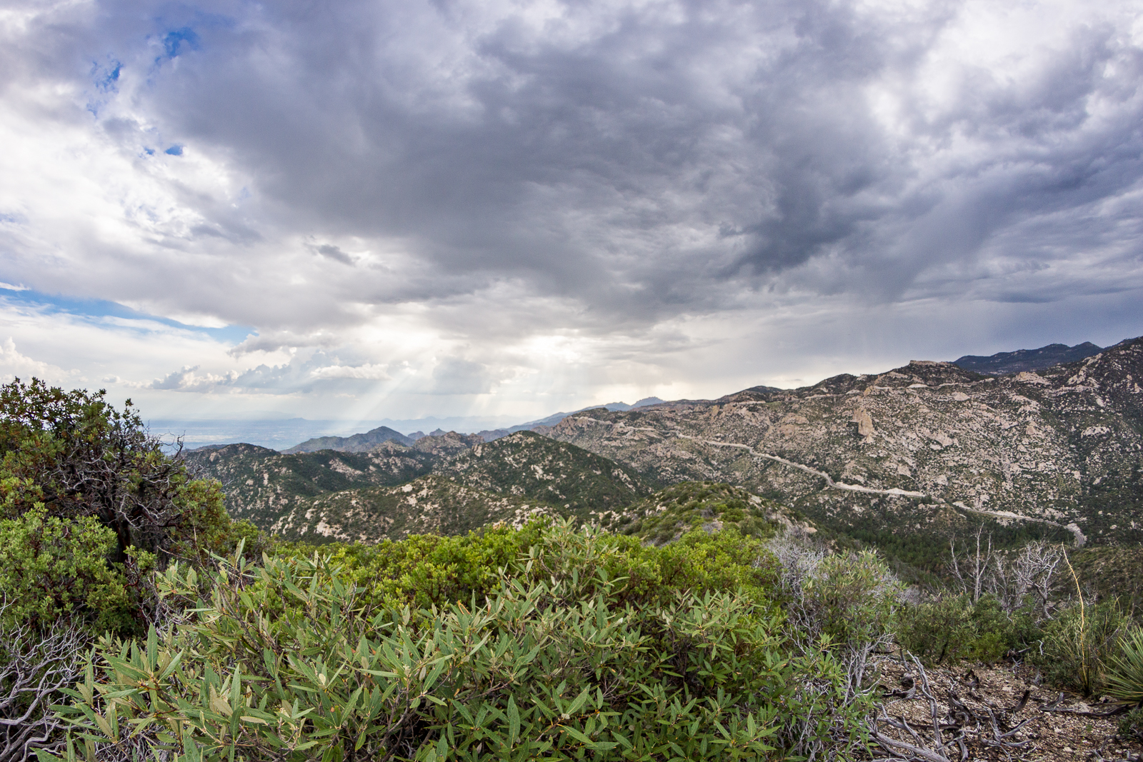
On the Green Mountain Trail it was hard to tell what I would find – the Green Mountain Trail was untouched by the Burro Fire, but not far from Bear Saddle on the Guthrie Mountain Trail the impact of the Burro Fire became obvious.

Brown trees below and on the slopes of Guthrie Mountain. July 2017.

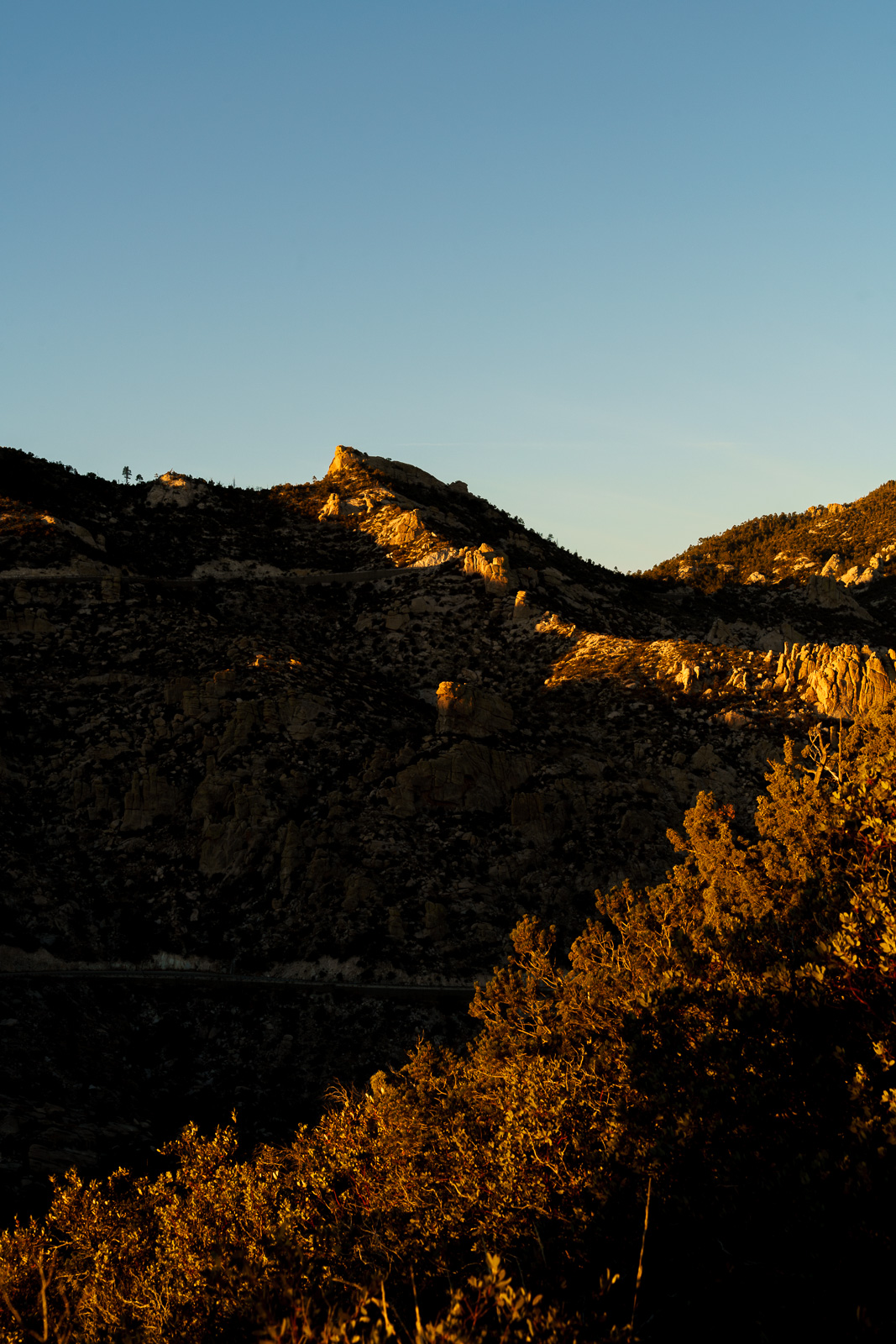
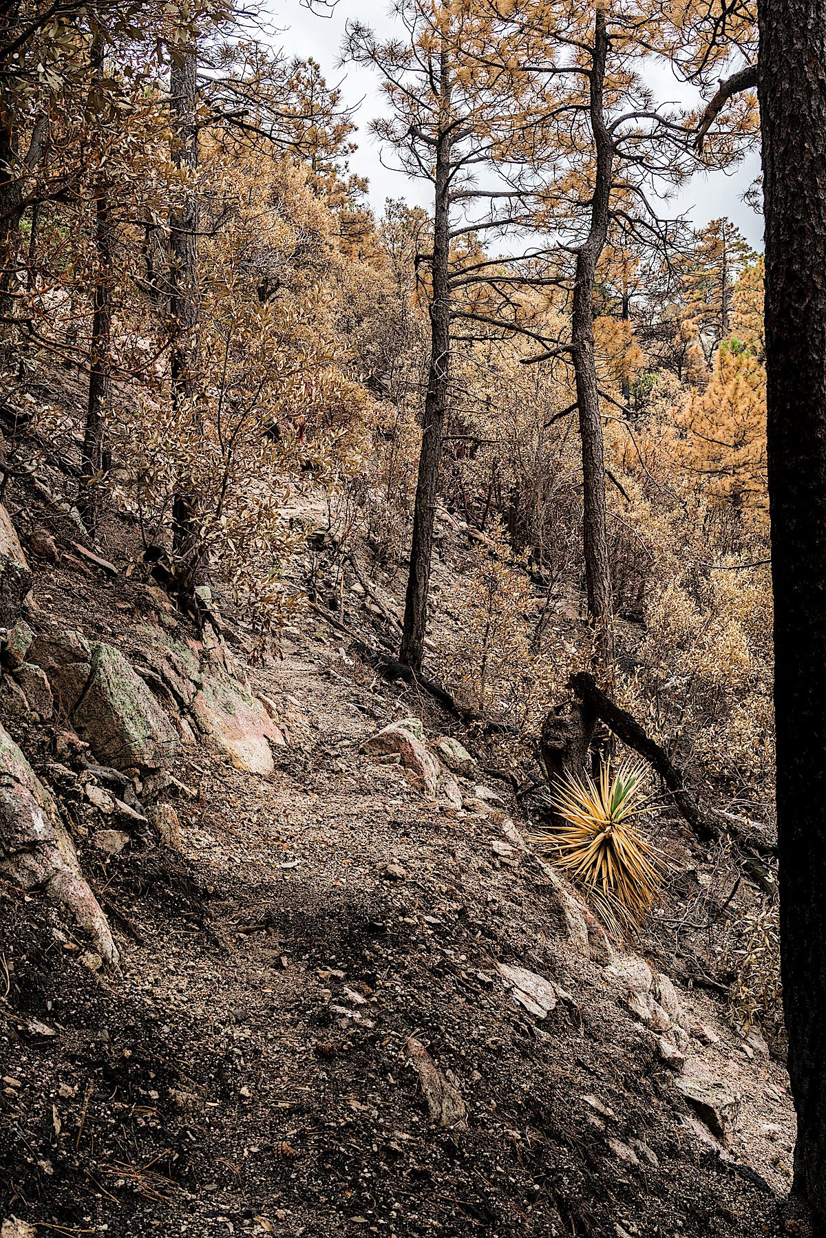
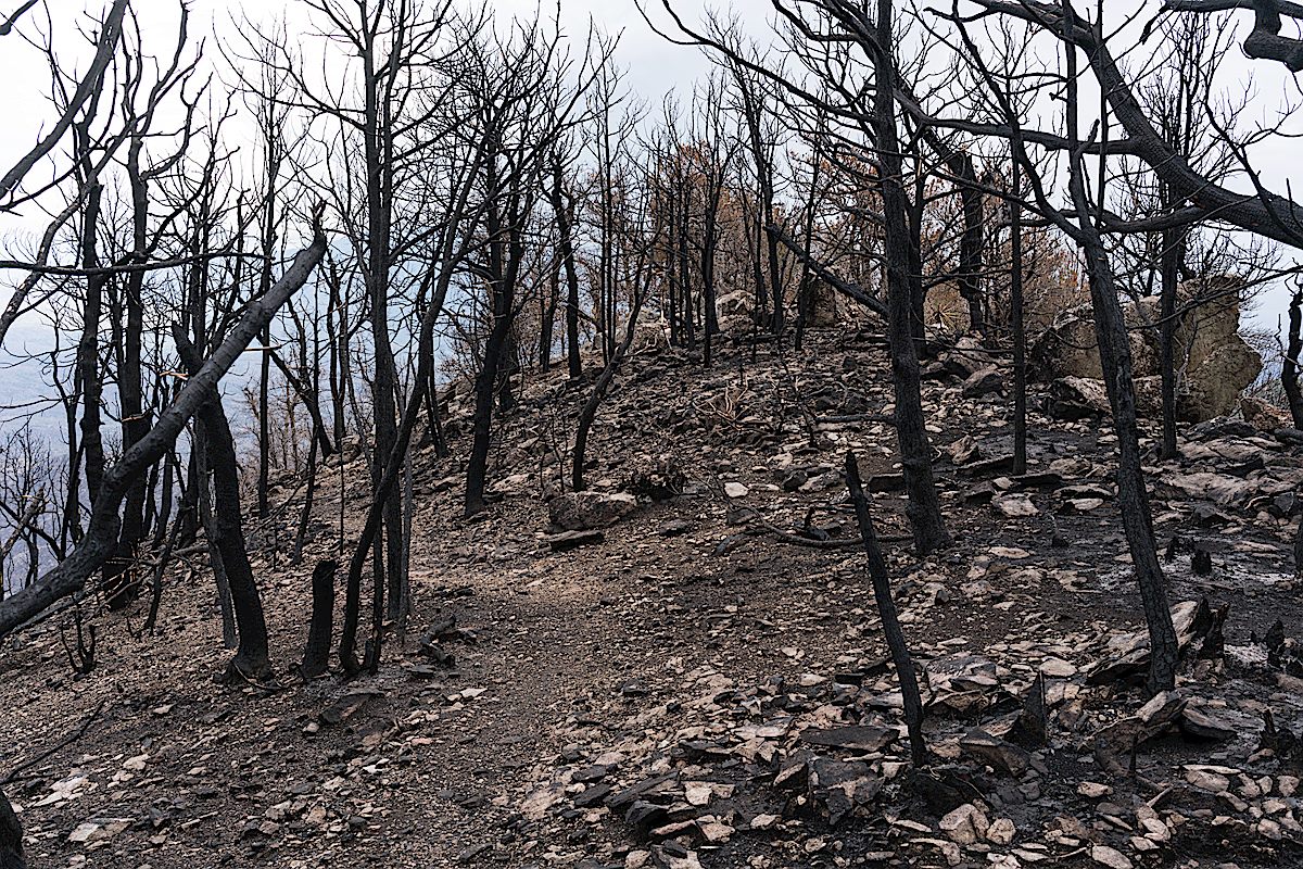
On the ridge out to the short rocky climb before the summit the trees scorched by the fire seemed almost like strange fall colors – but the summit must have burned hotter, here the trees have been transformed into black sticks.

The summit of Guthrie Mountain a few weeks after the Burro Fire. July 2017.

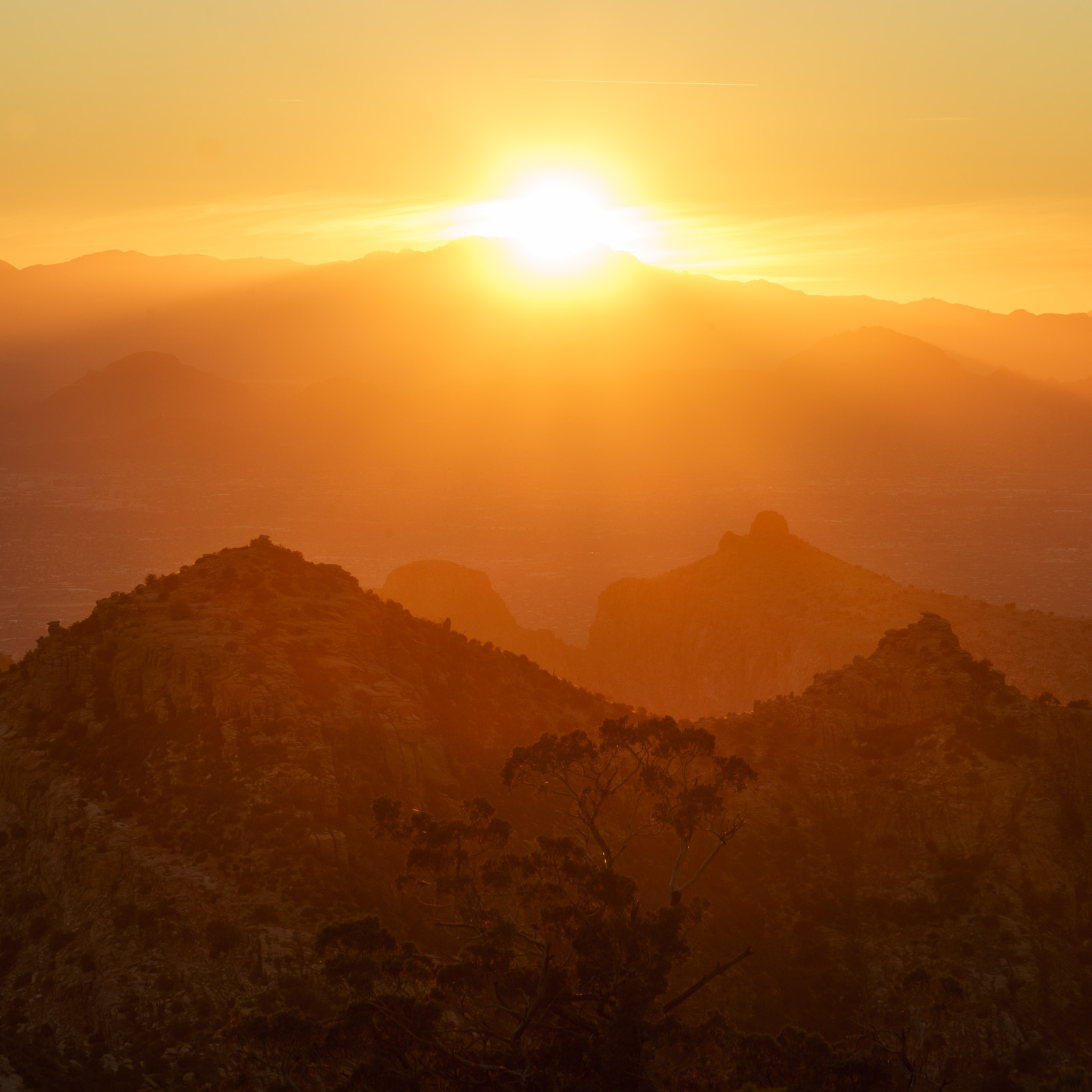
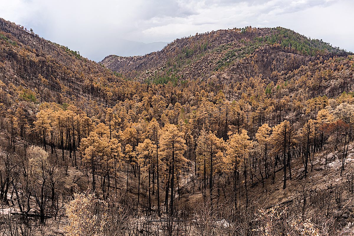
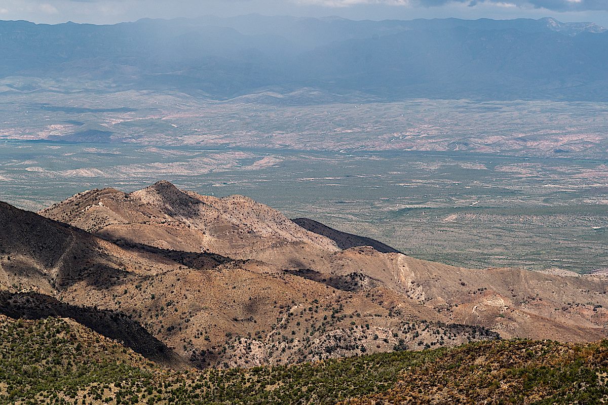
With the trees and brush largely cleared by the fire it is now easy to wander down from the summit for more photos – other areas burned in the Burro Fire attract my attention today – the slopes of Evans mountain and Burro Creek are distinctly brown.

Evans Mountain - the Burro Fire was stopped at Edgar Canyon on the other side of this ridge. July 2017.
Evans Mountain – the Burro Fire was stopped at Edgar Canyon on the other side of this ridge. July 2017.
Looking down from the slopes of Guthrie Mountain on Burro Creek - also burned in the Burro Fire. July 2017.
Looking down from the slopes of Guthrie Mountain on Burro Creek – also burned in the Burro Fire. July 2017.

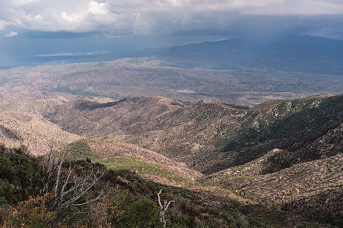
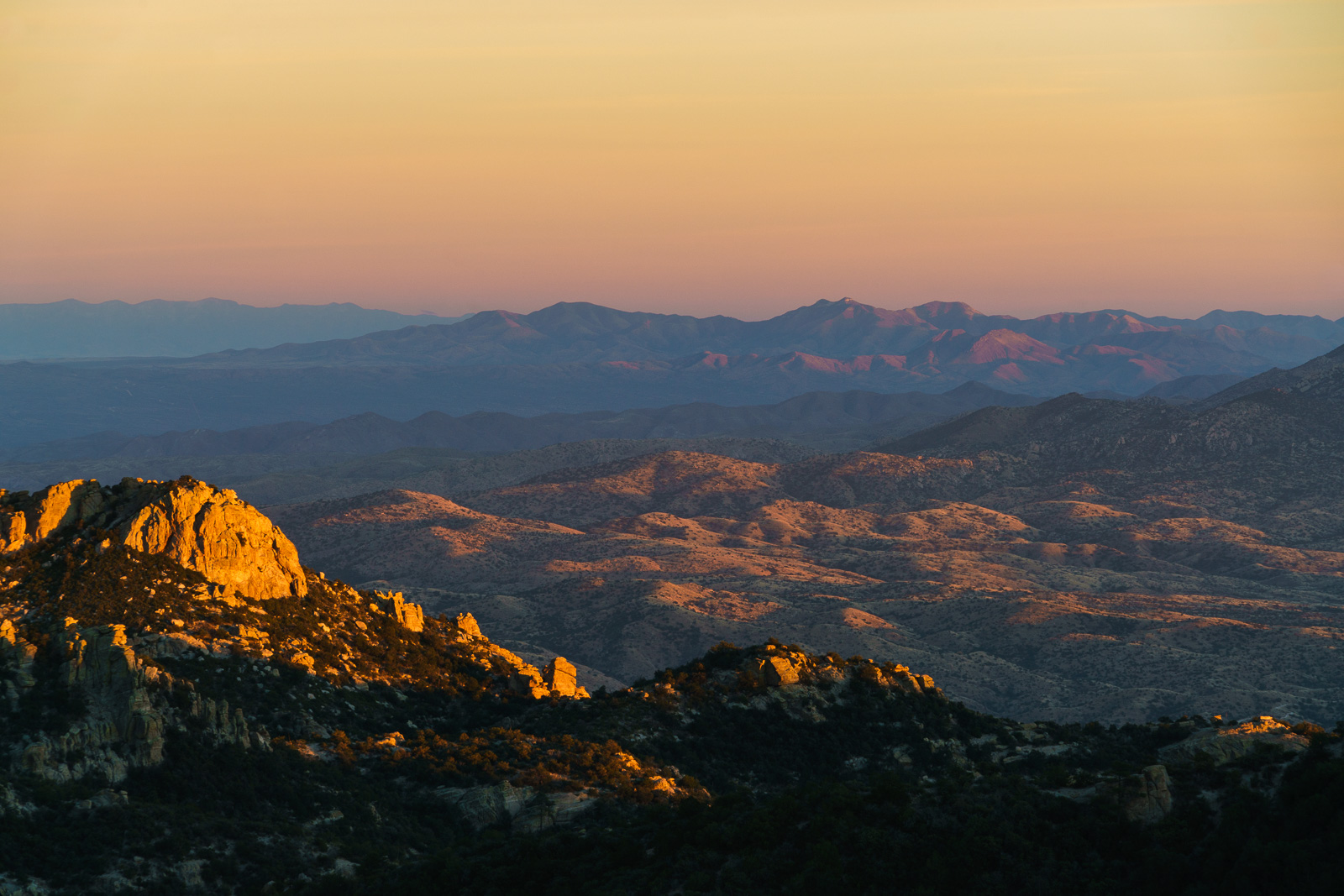
Guthrie Mountain is still very much worth visiting – I was a bit stunned at first by the new look of the summit, but the burned slopes are already spouting new growth and it will be interesting to see what happens as the area comes back to life.

Sunset from Point 6512 Above Bear Canyon – 12/11/2016

December 2016.
A brilliant sunset over Tucson from Point 6512 above Bear Canyon. December 2016.

The Bug Spring Trail from the Lower Green Mountain Trailhead provides an easy way to access ridge south of Bear Canyon – there are hints of a path on, or near, the top of the ridge, but only hints – if you follow the ridge for any distance you are bound to be pushing thru the brush and working around obstacles – you can continue past Point 6512, but it may be worth sitting, enjoying the ridge and waiting for the sunset…

December 2016.
Point 6512 above Bear Canyon – track from the Lower Green Mountain Trailhead. December 2016.
December 2016.
Looking across Bear Canyon to Lizard Rock. December 2016.
December 2016.
Sunset light south of the Santa Catalina Mountains. December 2016.

Bug Spring and Soldier Trail – 2/14/2016

Power poles along the Soldier Trail - at one time these provided power to the Prison Camp. February 2016.
Power poles along the Soldier Trail – at one time these provided power to the Prison Camp. February 2016.

We started at the Lower Green Mountain Trailhead in Bear Canyon – dirty snow was piled near the start of the Bug Spring Trail and there was occasional snow on/near the trail for the first few miles – but it disappeared too quickly, as we ran thru the Gordon Hirabayashi Recreation Site and on to the Soldier Trail the temperature seemed oppressively hot for February – we were grateful for the wind and occasional shade as we made our way down to the Soldier Trail Trailhead.

Grassy hillsides above Soldier Canyon on the Soldier Trail. February 2016.

Lower Green Mountain Trailhead to Soldier Trail Trailhead  (Bug Spring Trail, Molino Basin Trail and Soldier Trail) – 8.1 miles, + 740’/-3,200′ of elevation gain/loss.

A Short Hike Above Bear Canyon, Points 6702, 7135 and 6810 – 8/23/2015

A Gopher Snake in a wash above Bear Canyon - after spotting us he disappeared into cracks below a small rock face. August 2015.
A Gopher Snake in a wash above Bear Canyon – after spotting us he disappeared into cracks below a small rock face. August 2015.

Points 6702, 7135 and 6810 east of Bear Canyon are, in many ways, ‘nothing special’ – but marks on a map are a great excuse to wander away from well trodden paths – and more often than not thru spots of subtle beauty, sometimes surrounded by sublimely devilish brush…

Summer rains filling Bear Canyon with beautiful running water. August 2015.
Juniper Berries. August 2015.
Wet mushrooms near the ridge east of Bear Canyon. August 2015.
Looking across Bear Canyon from Point 6810 on the ridge east of Bear Canyon. August 2015.

Lower Green Mountain Trailhead, Green Mountain Trail, off trail up onto the ridge, Point 6702, Point 7135, Point 6810, Bug Spring Trail, Lower Green Mountain Trailhead. 3.9 miles, +/- 2000′ of elevation gain/loss.