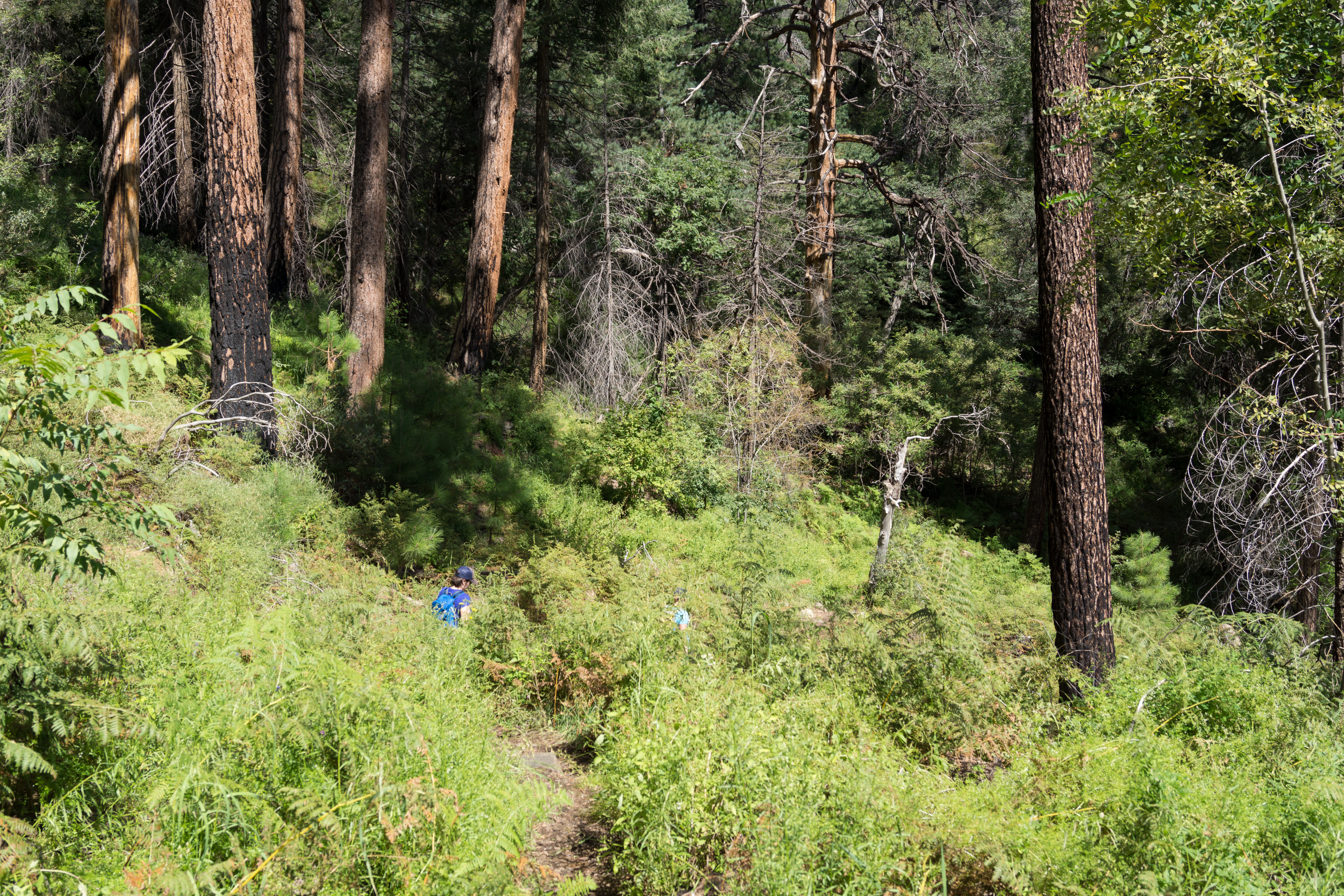
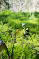
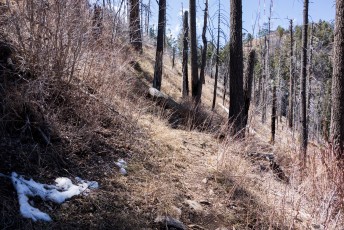
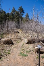
In the ferns on the Butterfly Trail. September 2013
Overview
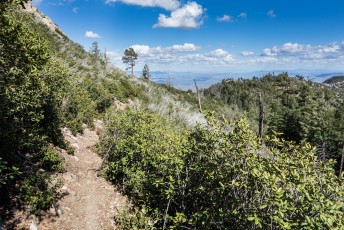
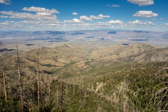
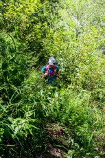
The Butterfly Trail #16 winds in and out of big trees and open sections as it makes it’s way past Novio Falls, a side trail to the wreckage from a plane crash and eventually up to Mount Bigelow.
Hike Stats
- Out and Back
- 10.8 miles
- 3,600' Elevation Gain
- 3,600' Elevation Loss
- Highest Elevation: 8,500'
- Lowest Elevation: 6,480'
Location
- Off of the General Hitchcock Highway in Santa Catalina Mountains, north of Tucson, Arizona.
- Start/End: Upper Butterfly Trailhead (Upper Highway Hikes)
Details
- Fee: No
- Dogs: Yes
- Bikes: Yes
- Part of the Arizona Trail Pusch Ridge Wilderness Bypass
Drive
- 36.4 miles from Speedway and Campbell
- 1 Hour and 10 Minutes from Speedway and Campbell
- Vehicle Access: Paved Roads/Passenger Car (Mountain Road - be careful of weather conditions!)
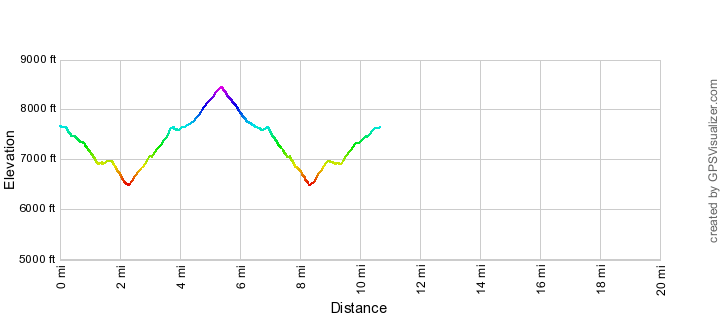
Butterfly Trail Elevation Profile
Driving Directions
Suggested driving directions from the Speedway and Campbell intersection in Tucson to the Upper Butterfly Trailhead:
- Drive East on Speedway (5.0 miles)
- Left on Wilmot and continue on Tanque Verde (4.3 miles)
- Left on Catalina Highway (27 miles)
- Signs mark the turn into the Butterfly Trailhead on the up-mountain side of the Highway.
Google Maps Directions from the Speedway and Campbell intersection in Tucson to Upper Butterfly Trailhead.

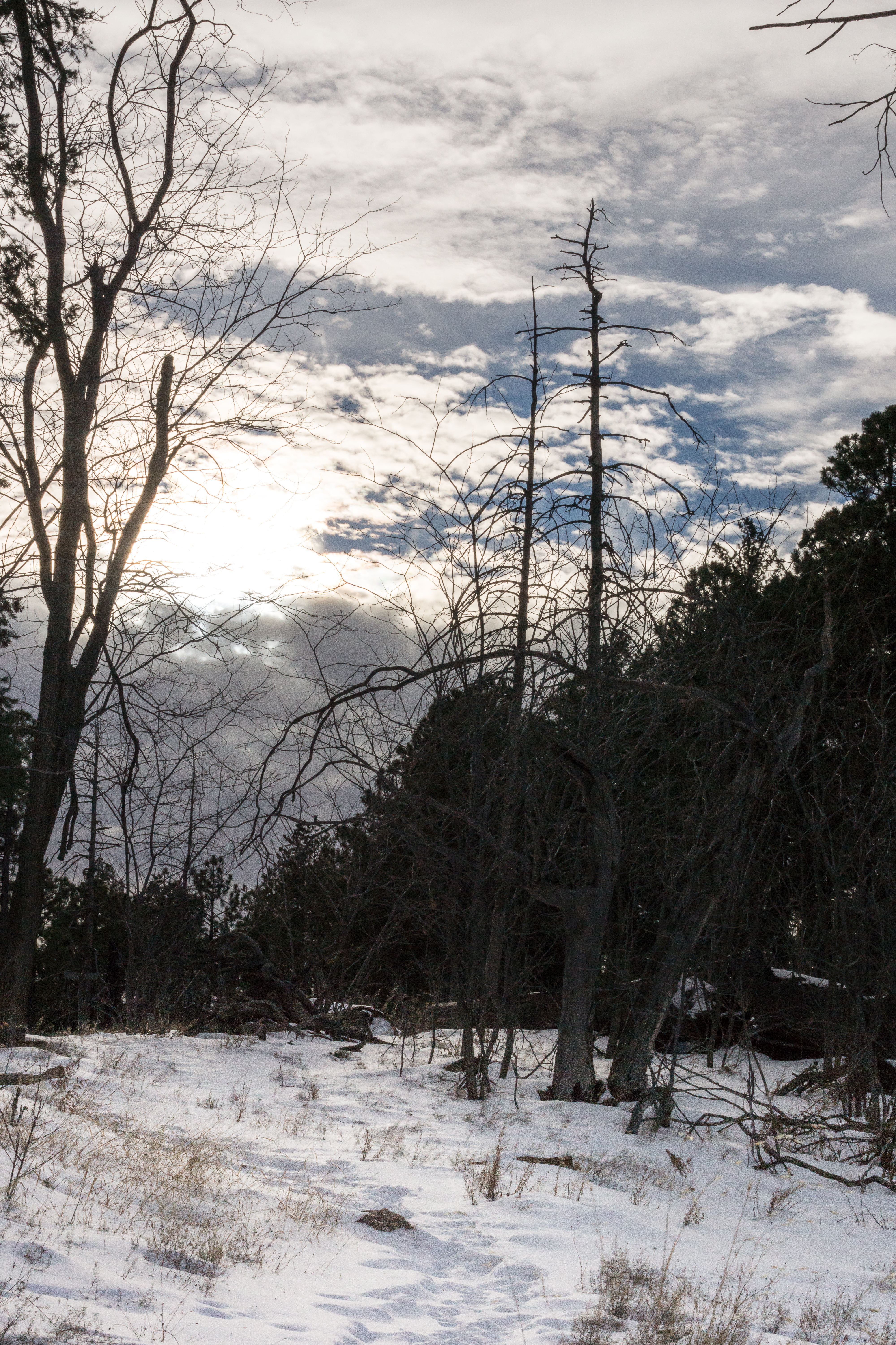
Left: The junction of the Butterfly, Bigelow and Kellogg Trails with Mount Bigelow in the Background. April 2014
Right: The junction - with snow! December 2014
Right: The junction - with snow! December 2014
Trail Notes
[CueListWarning/]
- 0.0 miles, 7750′: Start from the Upper Butterfly Trailhead [Waypoint thb]. The beginning of the trail is paved and leaves from the gate and large trail sign at the end of the parking lot.
- A sign will help you avoid going up a side road a few minutes from the parking lot.
- 0.9 miles, 7400′: The trail reaches a saddle with an old campsite – the Butterfly Trail continues downhill [Waypoint B01] – an un-official trail continues along the ridge towards Butterfly Peak.
- 1.3 miles, 7050: Signed junction with the Crystal Spring Trail [Waypoint b-cs].
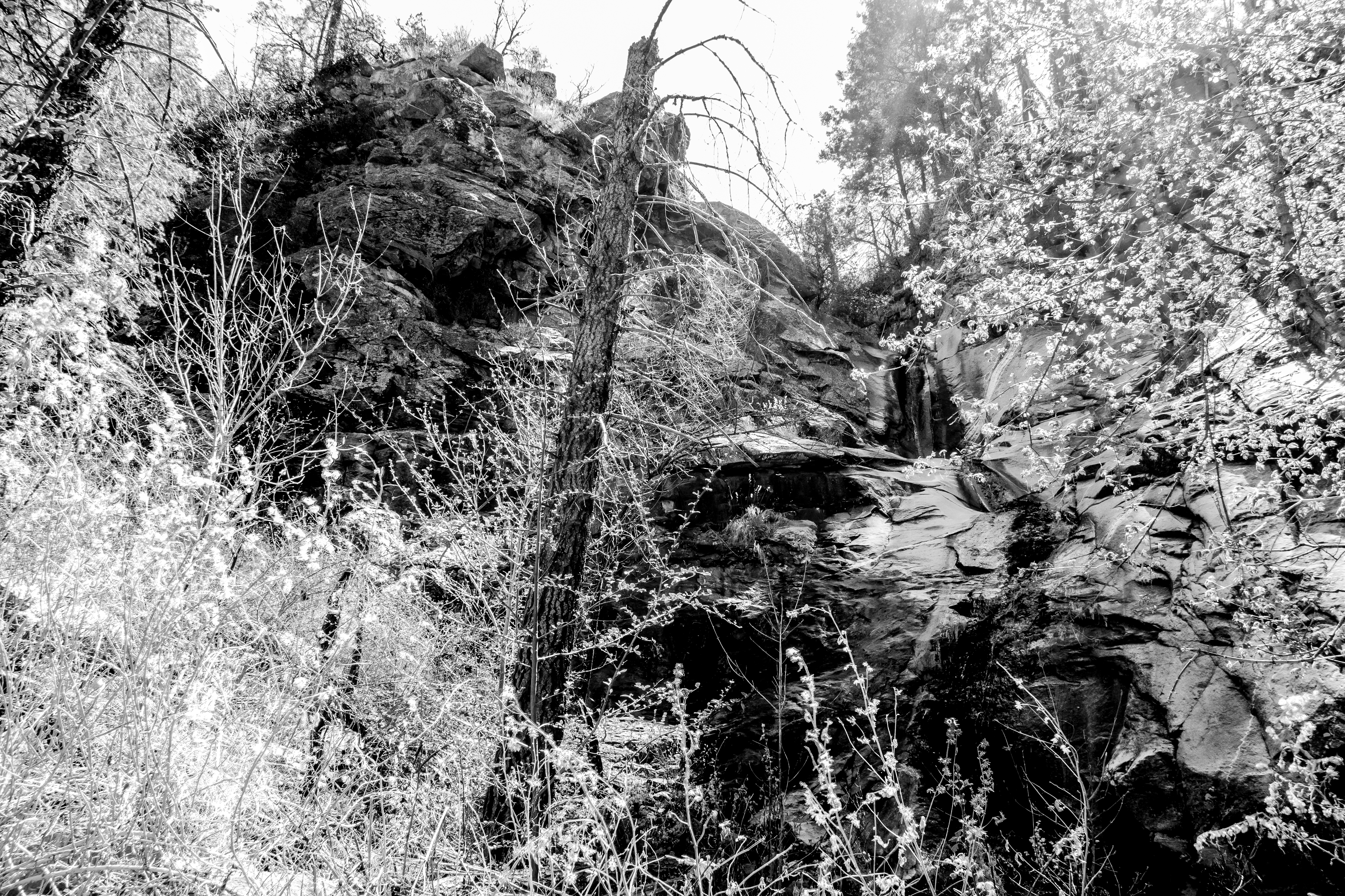
- 2.3 miles, 6550′: As you reach the lowest point along the Butterfly Trail Novio Falls comes into view thru the trees and a steep/loose side trail to the bottom of the falls leaves the trail [Waypoint B02]
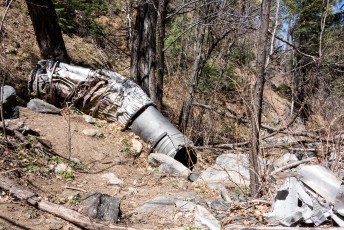
- 2.6 miles, 6750′: A well worn unofficial trail leaves the butterfly trail and continues south along the canyon to the crash site of an F-86 (from 1957 – more information from the Green Valley Hiking Club) [Waypoint B03]. [Waypoint B Crash] marks the crash.
- 3.0 miles, 7100′: Signed junction with the Davis Spring Trail – at the sign this looks like a well worn trail, but this trail is currently very difficult (impossible perhaps) to find and follow. [Waypoint b-ds]
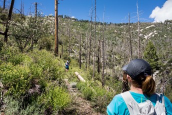
- From here the trail passes Westfall Knob and continues to climb.
- 5.0 miles, 8300′: Signed junction – the Bigelow Trail travels downhill and roughly to the south towards the highway and the Bigelow Trailhead, the Kellogg Mountain Trail leaves to the east toward the Kellogg Trailhead and the Butterfly Trail continues to the west towards Mount Bigelow. [Waypoint b-bg-kl]
- 5.15 miles, 8300′: An unsigned junction [Waypoint B04] – the Butterfly Trail continues to the north and meets the Bigelow Road north of Mount Bigelow, an un-named trail continues to the west and meets Bigelow Road south of Mount Bigelow. Continue on the un-named trail to the west. [Waypoint B04]
- 5.3 miles, 8500′: The trail reaches the dirt road around Mount Bigelow – hike up the road to the north-east. [Waypoint B05]
- 5.4 miles, 8550′: The road comes to the Mount Bigelow Butterfly Trailhead – marked by a large trail sign [Waypoint thbgb]. With a second car parked here this can be the end of a great point to point hike!
- Cross the road to find the signed junction of the road and the Bigelow Trail (best here to ignore the older style trail sign…) [Waypoint J MB BRoad] – follow the Butterfly Trail to the NE, near [Waypoint MB01] the trail turns to the south.
- 5.6 miles, 8300′: Arrive again at the unsigned junction of the un-named trail the Butterfly Trail [Waypoint B04] – continue down the Butterfly Trail to hike back to the Upper Butterfly Trailhead.
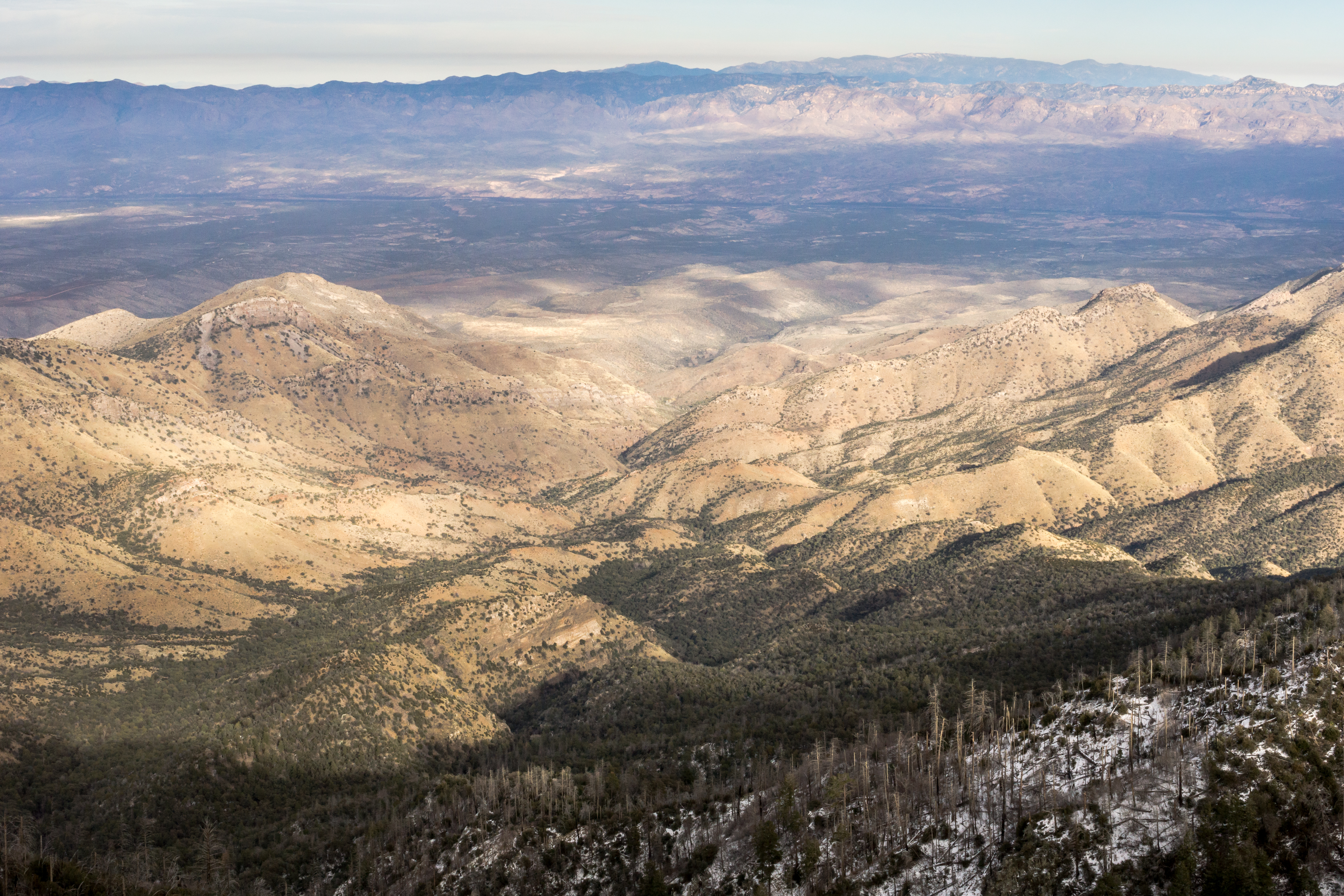
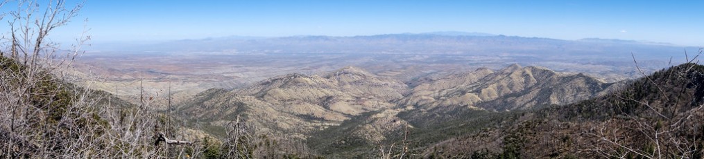
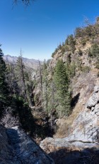
Looking down on Peck Basin and Davis Mesa from the Butterfly Trail. December 2014

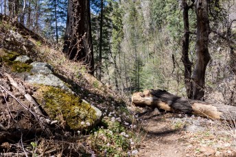
Left: Wreckage a short hike from the Butterfly Trail. April 2014
Right: Novio Falls just off the Butterfly Trail. April 2014
Right: Novio Falls just off the Butterfly Trail. April 2014
Resources
- HikeArizona – Butterfly Trail #16 – Catalina, AZ
- Summit Hut Trail Talk – The Butterfly Trail
- Coronado National Forest – Butterfly Trail #16
- [GuideYellowBook]
- Posts on HikeLemmon.com:
- Crystal Spring and Butterfly Trails – 5/8/2017
- Heat, Deaths, Fire, Joining – 7/1/2017
- Goats, Fire, Improvements, Restoration, Camp Out – 3/25/2016
- Snow on the Butterfly Trail – 12/16/2015
- Winter Weather, Crowds, Rescues, Missing Hikers, Lambs
- Bigelow Trail and Butterfly Trail, Playing in the Snow – 12/28/2014
- Bigelow Trail, Butterfly to Mount Bigelow, Bigelow Road and the Highway – 9/12/2014
- Oracle Ridge Trailhead to San Pedro Vista – 8/24/2014
- Butterfly Peak – 2014/7/6
- Crystal Spring Trail – 2014/4/16
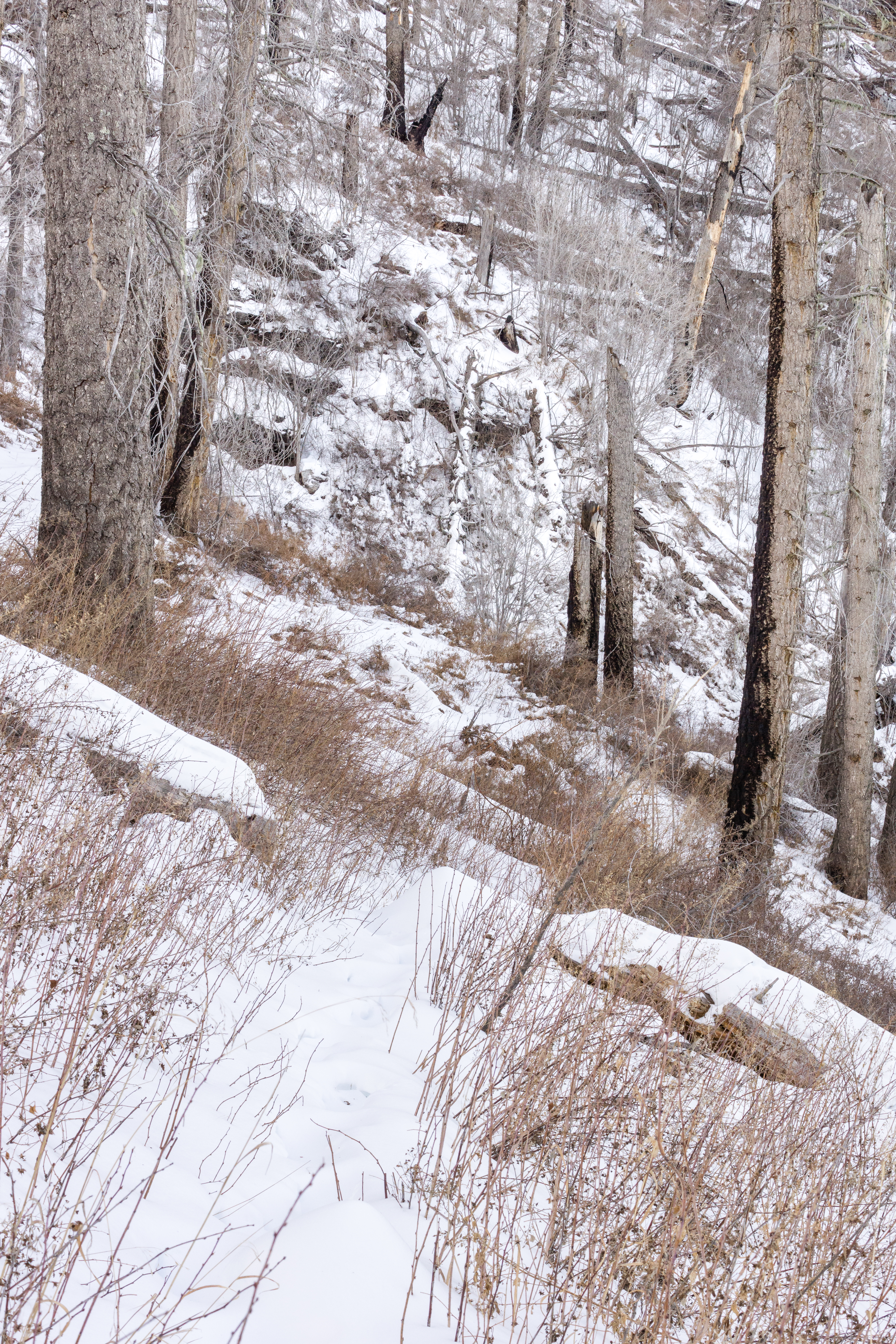
Snow on the Butterfly Trail below Mount Bigelow. December 2014
Pictures
2014 August Oracle Ridge to San Pedro – Crystal Spring, Butterfly, Kellogg
2014 April Butterfly Trail

Update Notes
- 2018/12/23 – Change reference to Incinerator Ridge Parking Area to Kellogg Trailhead to reflect current signage
- 2017/8/15 – HikeLemmon posts added to resources
- 2017/7/28 – Img Srcset Update
- 2015/8/16 – Added link to the GVHC info on the crash
- 2014/12/31 – Added several winter pictures, and added missing trailhead link
- 2014/10/13 – Added PDF trail map, updated GPX, fixed typos and updated description
- 2014/6/28 – Format Update
- 2014/4/18 – First published version