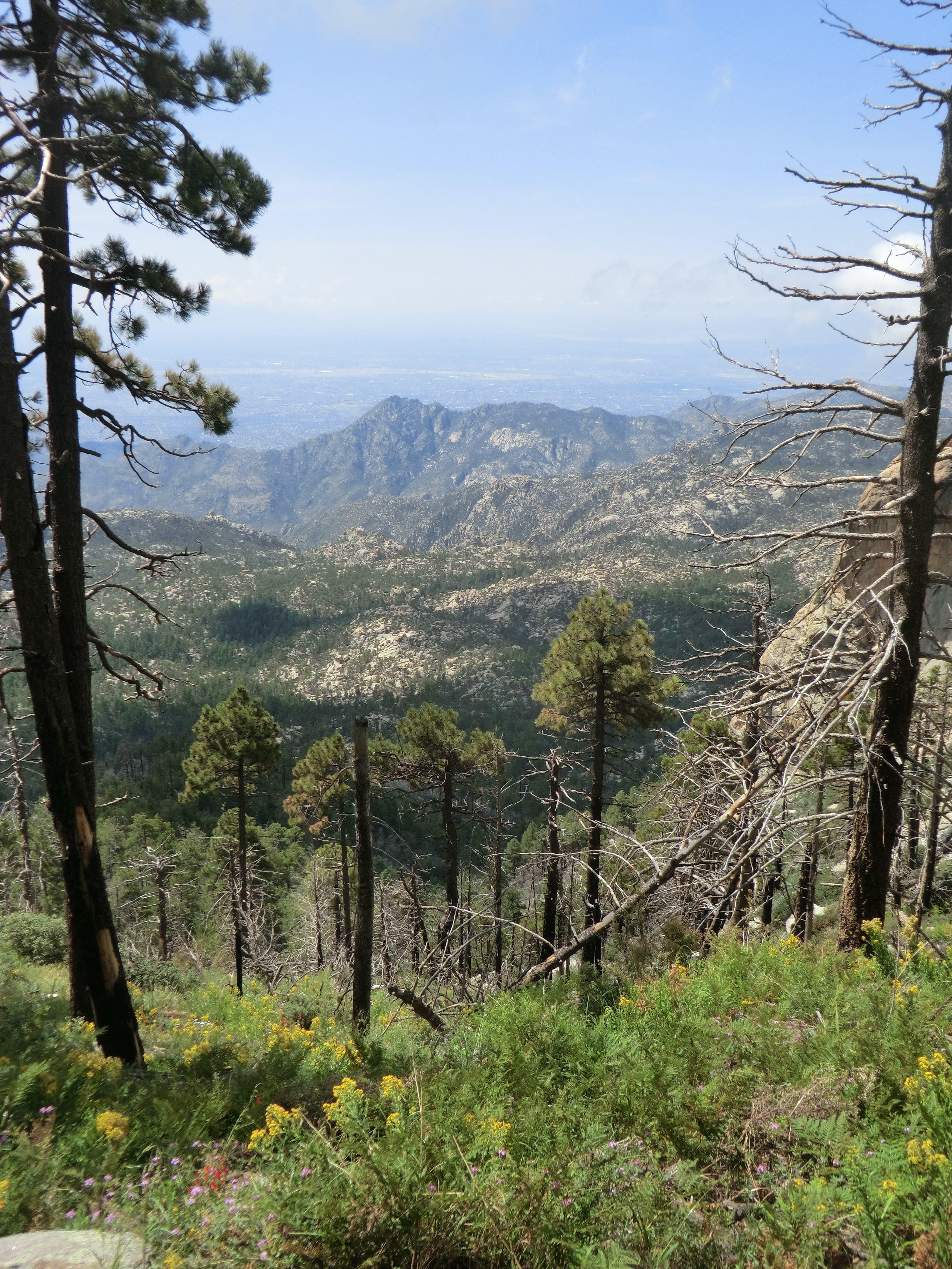
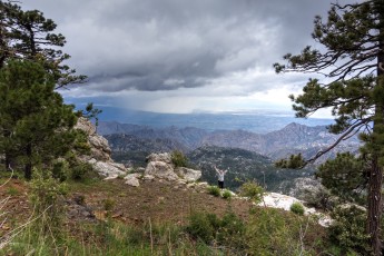
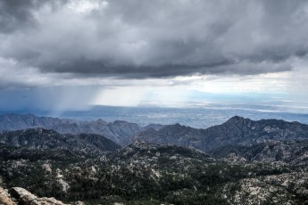
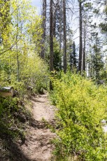
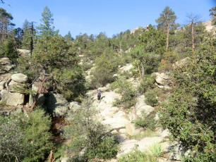
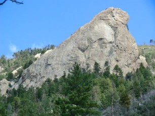
Right: A view from the Lemmon Rock Trail. August 2012.
Overview
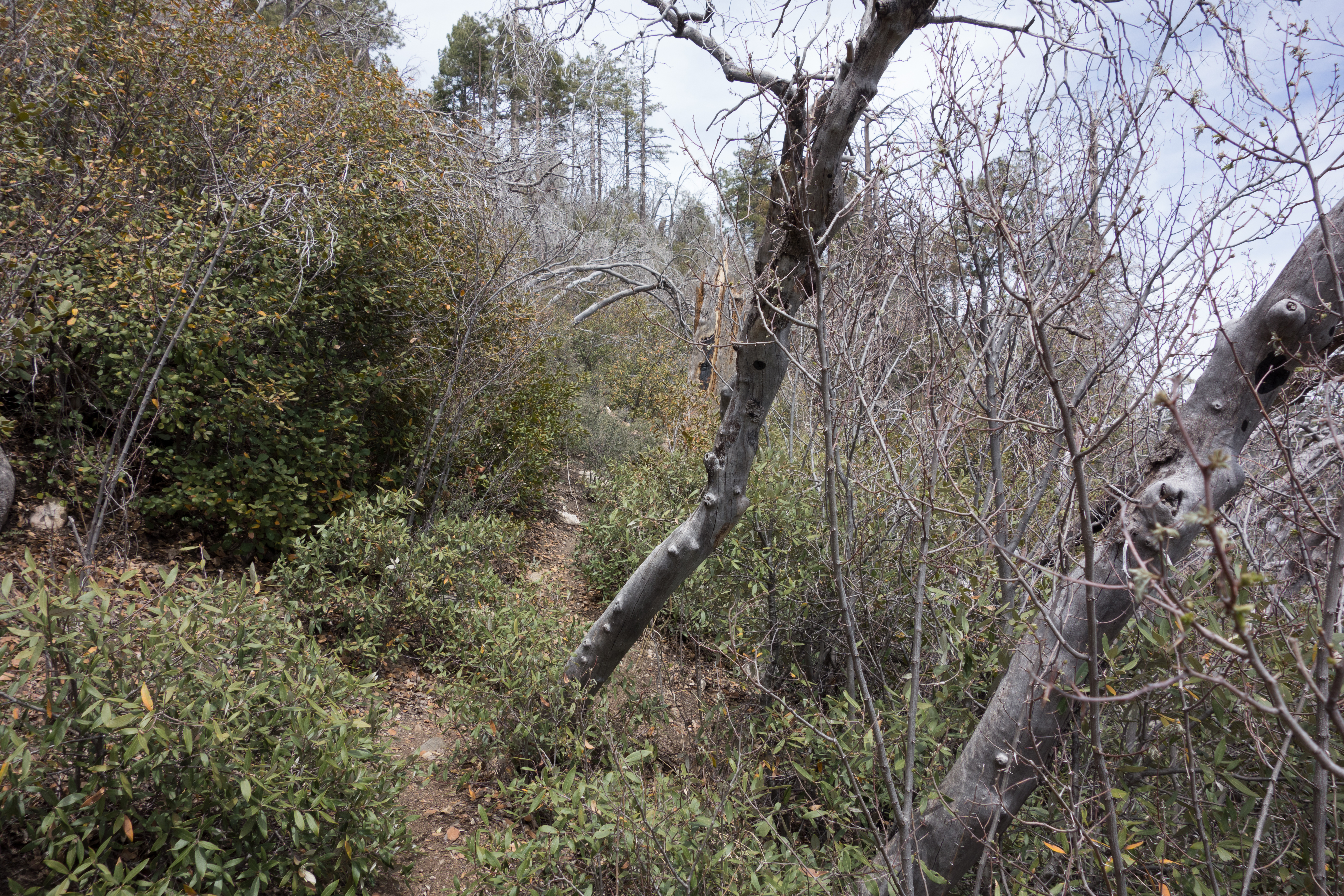
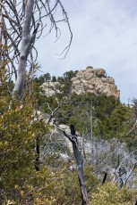
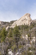
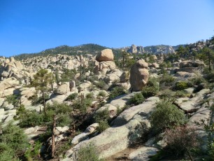
The Lemmon Rock Trail #12 breaks off the Lemmon Trail not far from the Summit Trailhead and descends steeply to a junction with the Wilderness of Rock Trail. Accumulating just over 1800′ of elevation loss in just 2.5 miles this trail is a stiff workout and offers perhaps the best views on the mountain of the huge rock formations known to climbers as Rappel Rock, The Fortress and The Ravens.
Hike Stats
- Out and Back
- 5 miles
- 1,850' Elevation Gain
- 1,850' Elevation Loss
- Highest Elevation: 9,100'
- Lowest Elevation: 7,300'
Location
- This hike is located in the Santa Catalina Mountains near Tucson, Arizona.
- Start/End: Mount Lemmon Recreation Area (Top of the Mountain Hikes)
Details
- Fee: Yes ([LemmonFeeCostAndLink/])
- Dogs: Yes
- Bikes: No (Pusch Ridge Wilderness)
Drive
- 41.6 miles from Speedway and Campbell
- 1 Hour and 25 Minutes from Speedway and Campbell
- Vehicle Access: Paved Roads/Passenger Car (Mountain Road - be careful of weather conditions!). Closed to motor vehicles in winter (December 15 to March 1 - dates subject to change depending on weather/conditions).
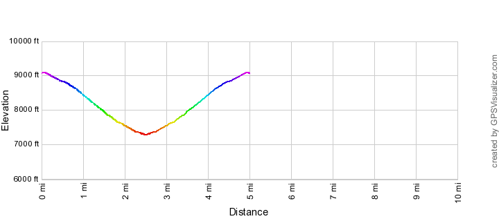
Lemmon Rock Trail Elevation Profile
Driving Directions
Suggested driving directions from the Speedway and Campbell intersection in Tucson to the Mount Lemmon Recreation Area:
- Drive East on Speedway (5.0 miles)
- Left on Wilmot and continue on Tanque Verde (4.3 miles)
- Left on Catalina Highway (29.1 miles)
- Turn right on Ski Run Road (2.7 miles). Note that 1.4 miles up Ski Run Road at Ski Valley and the Iron Door Restaurant there is a gate that is closed seasonally that blocks the last 1.7 miles of the road (Lemmon Rock Road) - when the gate is closed foot traffic up the road is still allowed but consider using the Aspen Draw Trail to access this area (it won't save you time compared to walking the road but has good parking in Summerhaven and is very beautiful!)
- Continue 0.2 miles past the Summit Trailhead (a gravel parking area on the down-mountain side of the road) to the Mount Lemmon Recreation Area. The trailhead is near a fenced in power station - there is a (normally) closed gate into the Mount Lemon Observatory Area just after the turn for the trailhead - if you drive into the fenced in Mount Lemon Observatory Area you have gone too far...
Google Maps Directions from the Speedway and Campbell intersection in Tucson to Mount Lemmon Recreation Area.
Trail Notes
[CueListWarning/]
- 0.0 miles, 9100′: Start from the Mount Lemmon Recreation Area [Waypoint mlra] on the Lemmon Trail. The trail starts near several trail signs and runs along the power substation fence. (If the parking is full at the Mount Lemmon Recreation Area or you want to avoid the fee at this location park instead at the Summit Trailhead [Waypoint ths].)
- After passing the power substation the trail quickly reaches a junction [Waypoint LM01] with a path (to your right) out to the paved road and another path (to your left) to a building – continue straight to the signed junction of the Meadow Trail and the Mount Lemmon Trail [Waypoint l-me] – continue to the left on the Mount Lemmon Trail.
- 0.5 miles, 8900′: At the signed junction of the Mount Lemmon Trail and Lemmon Rock Trail leave the Mount Lemmon Trail and turn left onto the Lemmon Rock Trail. [Waypoint l-lr]
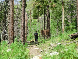
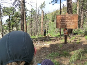
- 0.6 miles, 8800′: At a signed junction the Lemmon Rock Trail turns right off the wider dirt track (that continues to the Overlook) onto a narrower trail [Waypoint J LR Ovlk]. The trail passes a prominent Catalina Natural Area sign as it begins to descend steeply.
- 1.85 miles, 7600′: The trail crosses a drainage (there may be cairns on either side – sometimes there is water here). [Waypoint LR01]
- 2.5 miles, 7300′: The Lemmon Rock Trail ends at the signed junction with the Wilderness of Rock Trail [Waypoint wr-lr]. From here you can return on the Lemmon Rock Trail and enjoy the great views or explore some of the trails in the area!
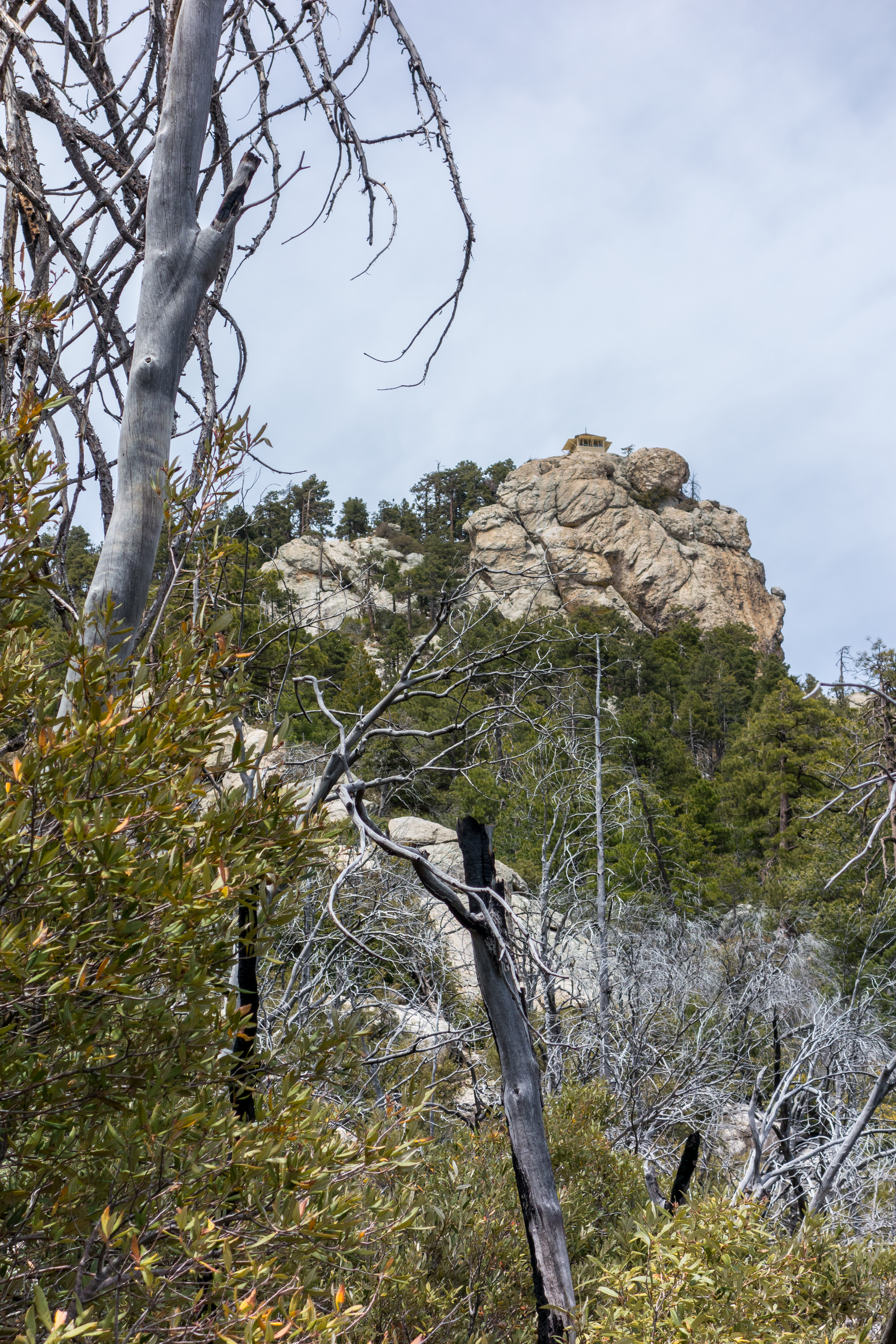

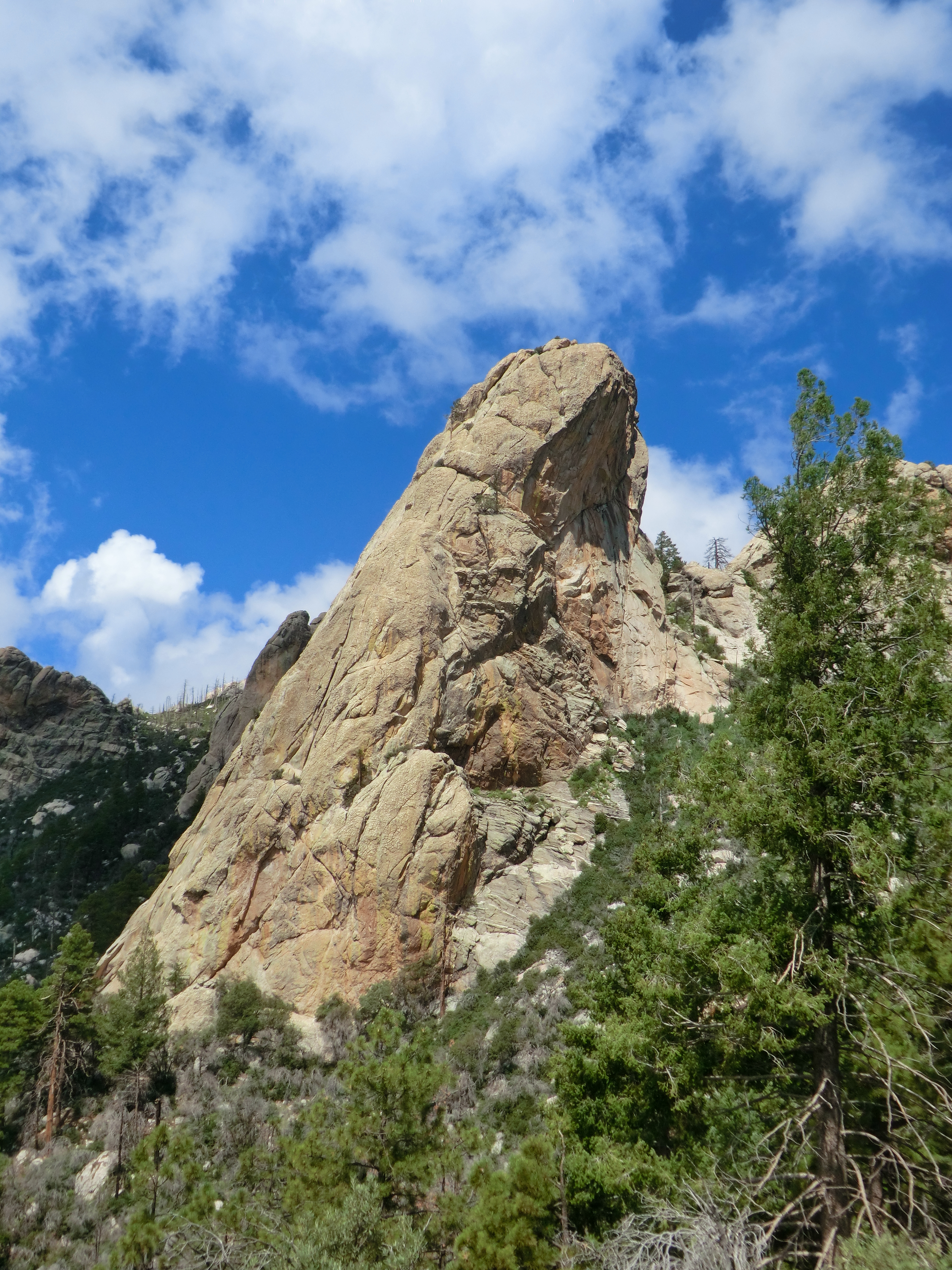
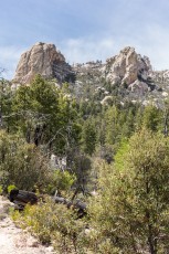
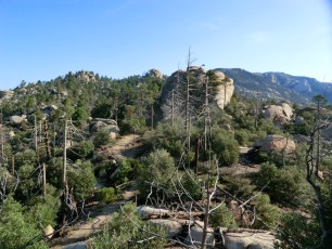
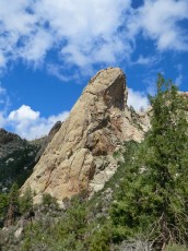
Right: Well know climbing destinations The Fortress (left) and The Ravens (right). May 2014.
Resources
- HikeArizona.com
- Coronado National Forest
- Tucson Hikes – AZDean
- [GuideYellowBook]
Pictures
2014 August Lemmon Rock Lookout Race
2014 May Aspen Draw and Lemmon Rock Trails
2012 August Mount Lemmon/Lemmon Rock Loop


Update Notes
- 2017/8/15 – HikeLemmon posts added to Resources
- 2017/8/8 – Revise description and gpx to split the Summit Trailheads and the Mount Lemmon Recreation Area, update to Img Srcset
- 2014/10/11 – Updated GPX (naming and waypoint elevation from DEM), small typo corrections on page
- 2014/5/11 – Initial page