Fees, Fires, Border Security, Camping, Pie, Quakes – 5/17/2015

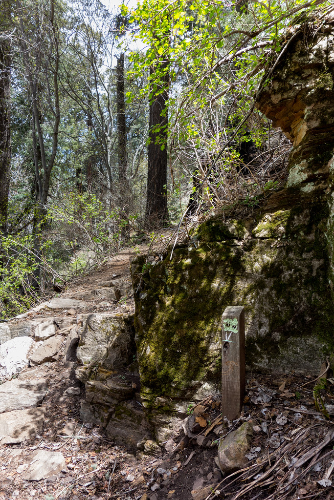
If you have not visited the Summit Trailhead recently be aware that there is now a $5 fee to park in the lot (the fee is covered by  a number of Interagency Annual Passes – see the signs below for more details) – along with the new fee tube the parking area has new gravel, the start of the trails has been cleared and I believe there is one more picnic bench. Note that the large open parking area just down the road from the Summit Trailhead does not have any fee signs and the trail to/from this area from the Summit Trailhead has been widened and signed.

Summit-Trailhead-Signs-1504-For-Display
New fee signs at the Summit Trailhead. May 2015
Trail-from-the-Lower-Summit-Trailhead-to-the-Summit-Trailhead-1505
Newly widened, cleared and signed trail to the Summit Trailhead from the lower parking area. May 2015.

Bill Would Roll Back Public Lands Protections In The Name Of National Security – ThinkProgress.org – Claire Moser: There have been a number of articles about the Arizona Borderland Protection and Preservation Act and the impacts that it could have on federal land in Arizona. While security is important it is disappointing to see a bill that has such a complete override of other concerns in favor of security rather than encouraging/facilitating cooperation between Federal Agencies. Sierra Club Condemns Border Security Bill That Seeks To Gut Protected Lands – ThinkProgress.org, John McCain Says Laws Protecting National Parks and Monuments Threaten National Security – AllGov.com.

Repaving work in Sabino Canyon Recreation Area May 19 and 20 – Sierra Vista Herald: “Recreation area and parking lot remain open, access reduced to one lane during paving”

Dogs welcomed on some — but not all — trails – Arizona Daily Star: A nice recap of a number of the local rules regarding dogs, including the trails in Sabino Canyon and in the Bighorn Sheep Management Area where dogs are prohibited.

It is fire season again… Links to articles on a small brush fire on the west side and a prescribed burn in the Redington Pass area. Catalina State Park brush fire under control after multi-agency response – Tucson Local Media, Brush fire contained at 20-acres north of Tucson – Arizona Daily Star, Forest Managers Light Fires Now to Prevent Big Blazes Later – Arizona Public Media, UPDATE: Prescribed Redington Pass burn – Tucson News Now, Prescribed burn planned for next week – Tucson News Now.

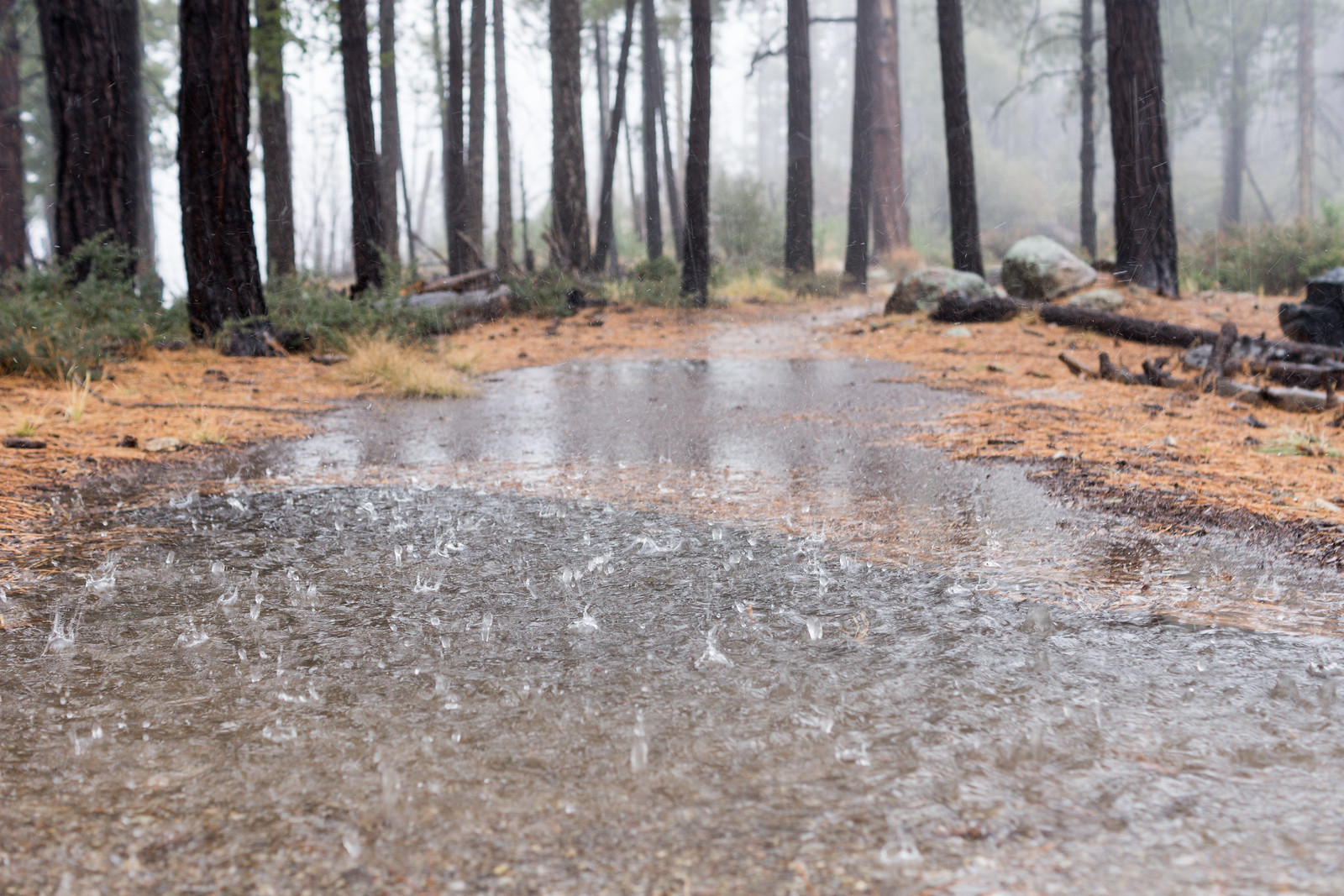
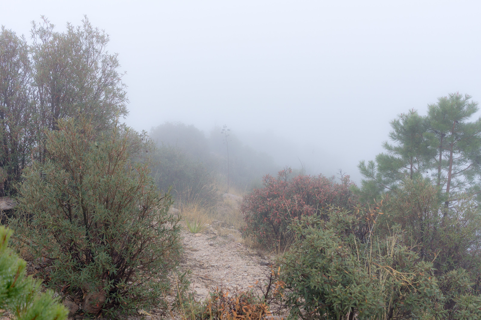
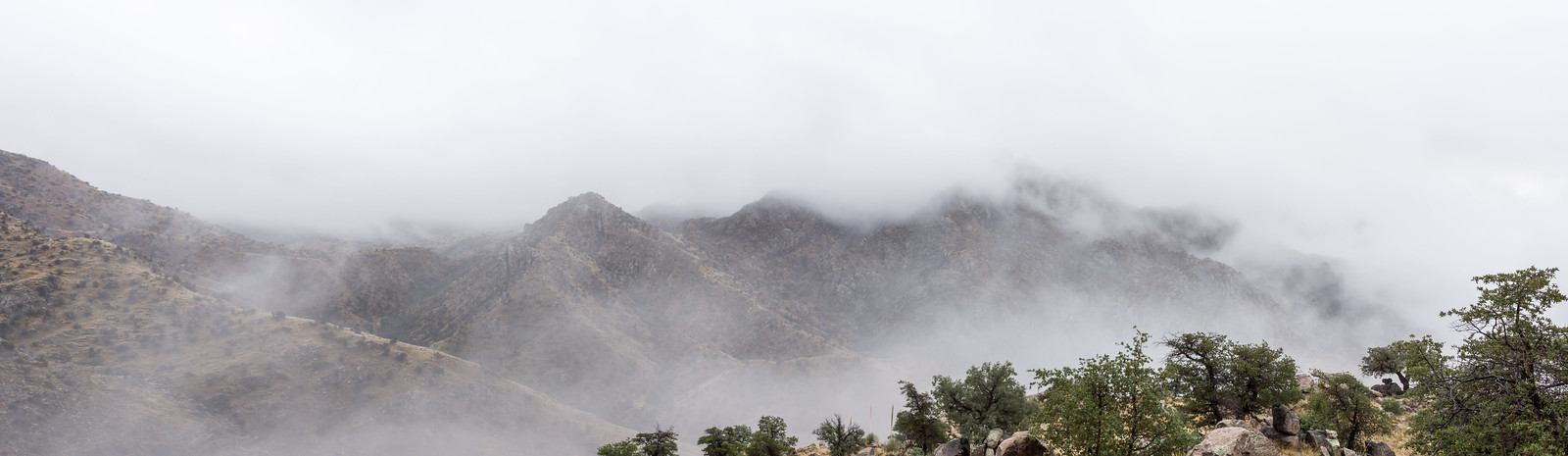
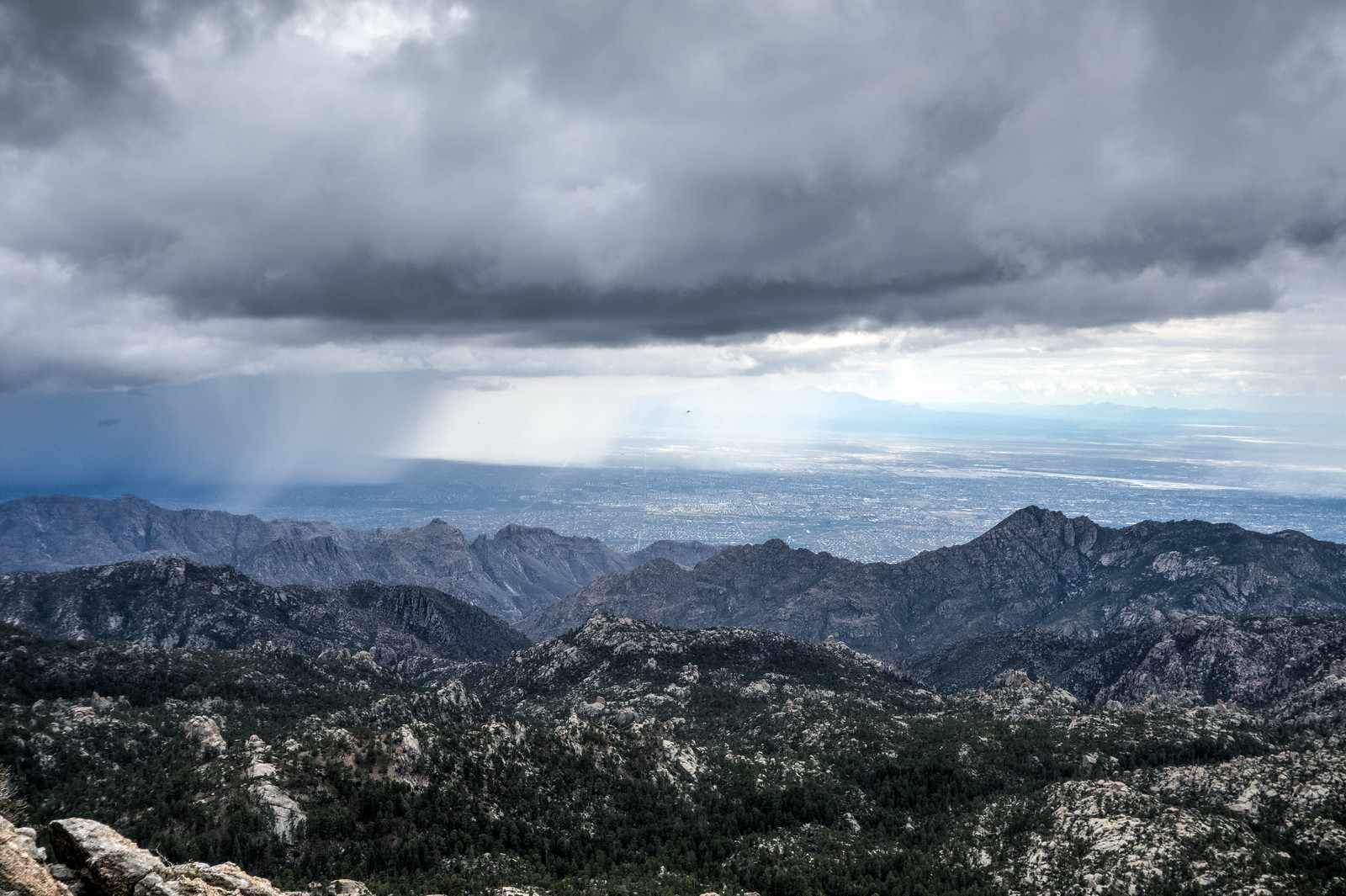
Some campers head to Mount Lemmon despite forecast – KVOA.com: A fun article on people who are braving the weather to camp on the mountain – great to see people getting out. Clouds, rain and snow can be so beautiful!

Mt. Lemmon Ride Promises Physical Reward – and Pie – Arizona Public Media: An article about the GABA Hill Climb that took place on May 15th – this is a yearly event by the Greater Arizona Bicycling Association that provides SAG stops, mechanical assistance, pie in Summerhaven and transport down if needed!

Mary Reynolds: 1887 quake taught hydrologic lessons – Arizona Daily Star: An interesting article about an earthquake in 1887 that was centered in Mexico and felt in Tucson – “When the quake struck the old Santa Catalina Mountains, great slices of the mountain gave way, and went tumbling down into the canyons, huge clouds of dust or smoke ascended into the blue sky, high above the crest of the queenly mountain”.

A Shudder Through the Earth: Learning From Nepal – UANews: Mentions that the recent earthquake in Nepal was large enough to register at the seismic station in Tucson on an instrument “locked in a vault deep in the granite of the Santa Catalina Mountains”.

Box Camp to Sabino Canyon – 12/13/2014

1412 Rain on the Box Camp Trail
Rain on the Box Camp Trail. December 2014.

The rain turned to sleet sometime after we passed Ski Valley, the drive up had been slightly faster than usual on the empty highway, when we got out of the car at the top of the mountain the area was a wet mess – no winter wonderland, just frozen slush – a change of plans and down…

The clouds were just as solid at the Box Camp Trailhead – but the water falling from the sky was not nearly as frozen. As my ride pulls away the cold makes me shiver, no where to go now but up the trail.

1412 Ridge Disapearing into the Clouds on the Box Camp Trail
On the Box Camp Trail – for an hour all I saw was the trail under my feet and the ridge twisting into the clouds… December 2014.

Lower on the trail, normally home to vast views, I spend a dreamlike hour alternating between watching the loose trail under my feet and the ridge twisting away into the clouds.

1412 Storm from the Box Camp Trail
On the left you can see the saddle where the Sycamore, Bear Canyon and East Fork Trails meet, a bit to the right the East Fork Trail is barely visible as it switchbacks down to the canyon. December 2014.

The grass is heavy with rain and the trail occasionally obscure – lower still the clouds break and views of Palisade Canyon, Sabino Canyon and the East Fork trail emerge. By the time I arrive at the end of the Phoneline Trail the rain is gone – I pull off my shell and head down the empty trail towards the city. Box Camp Trailhead to the Sabino Canyon Visitor Center, 12.8 miles, +680’/-5800′ of elevation gain/loss.

1412 Clouds over the Santa Catalina Mountains from Sabino Canyon
Storm – from Sabino Canyon. December 2014.

Lemmon Rock Lookout – Storms – 2014/8/2

1408 Alisons Footprint on the Lemmon Rock Lookout Trail
We raced to be the first to the top of the Lemmon Rock Trail – all I saw until the top were footprints… August 2014.

Ominous clouds covered the mountain, but when we got out of the car there was no rain or lightning – just wonderful shade and cool temperatures. We took different trails down from the Summit Trailhead – the Mount Lemmon Trail and Aspen Trail, then onto the Wilderness of Rock Trail and up the Lemmon Rock Trail – we raced to be the first up the steep climb to the Lemmon Rock Lookout – I was second up the trail and all I saw were footprints until we met at the top…

1408 Clouds Sun and Curtains of Rain from below the Lemmon Rock Lookout
Curtains of rain moving across Tucson – from just below the Lemmon Rock Lookout. August 2014.

Aspen Draw and Lemmon Rock Trails – 2014/5/10

Summerhaven – Turkey Run – Aspen Draw – Radio Ridge – I wonder if the Forest Service or Arizona Historical Society have the brochure that matches the old markers along the trail – it would be fun to hike the trail and read the descriptions…

1405 Old markers on the Aspen Draw Trail
Old markers on the Aspen Draw Trail.

Up to the Summit Trailhead and then down again – Lemmon – Lemmon Rock – Wilderness of Rock junction – back up the Lemmon Rock Trail.

The Lemmon Rock Lookout slowly gets closer, the wind makes the day feel cool, I hear Peregrine Falcons and my own heartbeat when I take a short break.

1405 Lemmon Rock Lookout from the Lemmon Rock Trail
Looking up at the Lemmon Rock Lookout from the Lemmon Rock Trail.

Radio Ridge – Aspen Draw – Turkey Run and back into Summerhaven…