Overview
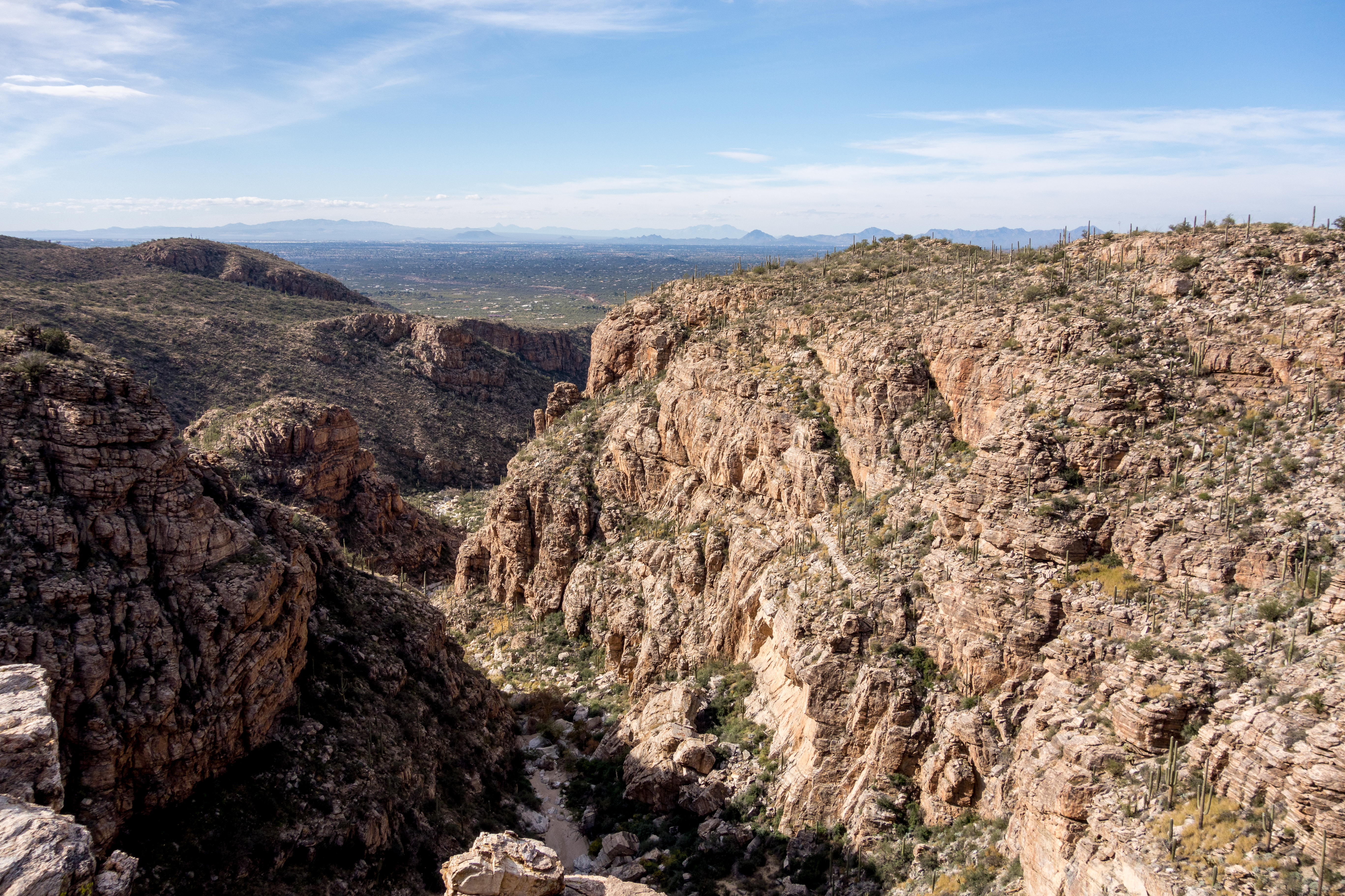
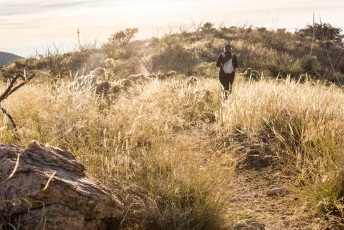
Located on the south-east edge of the Santa Catalina Mountains the La Milagrosa Trail follows the ridge between two beautiful canyons to a junction with the Bellota Trail.
Hike Stats
- Out and Back
- 10.2 miles
- 2,100' Elevation Gain
- 2,100' Elevation Loss
- Highest Elevation: 4,050'
- Lowest Elevation: 2,800'
Location
- This hike is located in the Santa Catalina Mountains near Tucson, Arizona.
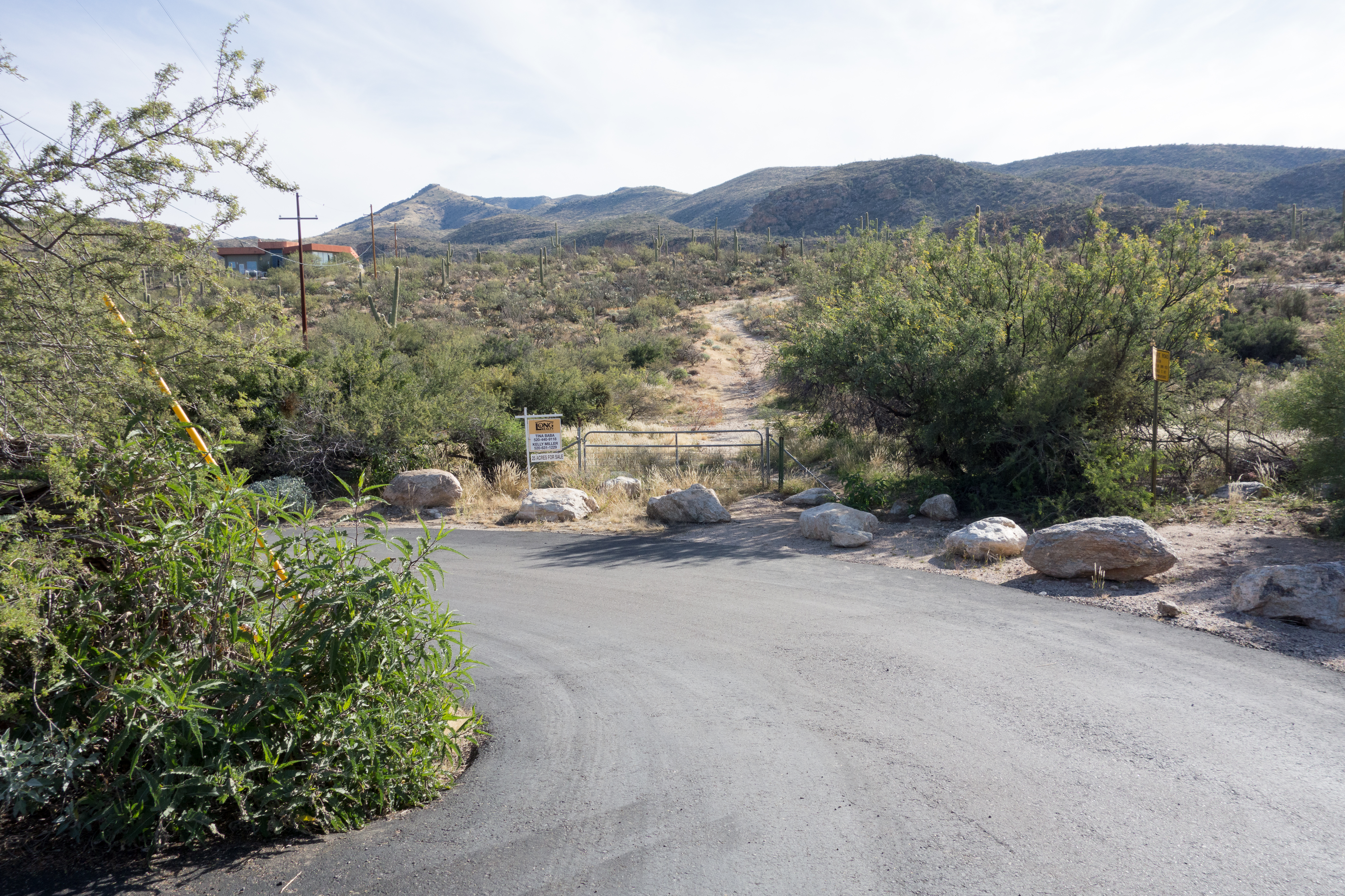
- Start/End: Avenida de Suzenu Trailhead (City's Edge Hikes)
Details
- Fee: No
- Dogs: Yes
- Bikes: Yes
Drive
- 14.6 miles from Speedway and Campbell
- 35 Minutes from Speedway and Campbell
- Vehicle Access: Paved Roads/Passenger Car
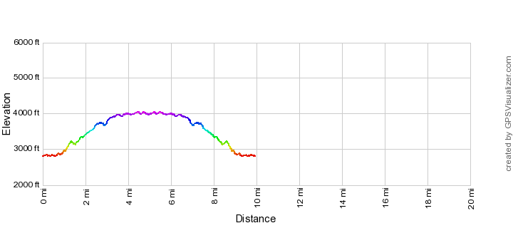
La Milagrosa Trail Elevation Profile
Driving Directions
Suggested driving directions from the Speedway and Campbell intersection in Tucson to the Avenida de Suzenu Trailhead:
- East on Speedway (5.0 miles)
- Left on Wilmot and continue on Tanque Verde (4.3 miles)
- Left on Catalina Highway (3.7 miles)
- Right on Snyder (1.3 miles)
- Left on Avenida De Suzenu (0.3 miles)
- The parking is the dirt shoulder on the side of Suzenu south of Horsehead Road.
Google Maps Directions from the Speedway and Campbell intersection in Tucson to Avenida de Suzenu Trailhead.
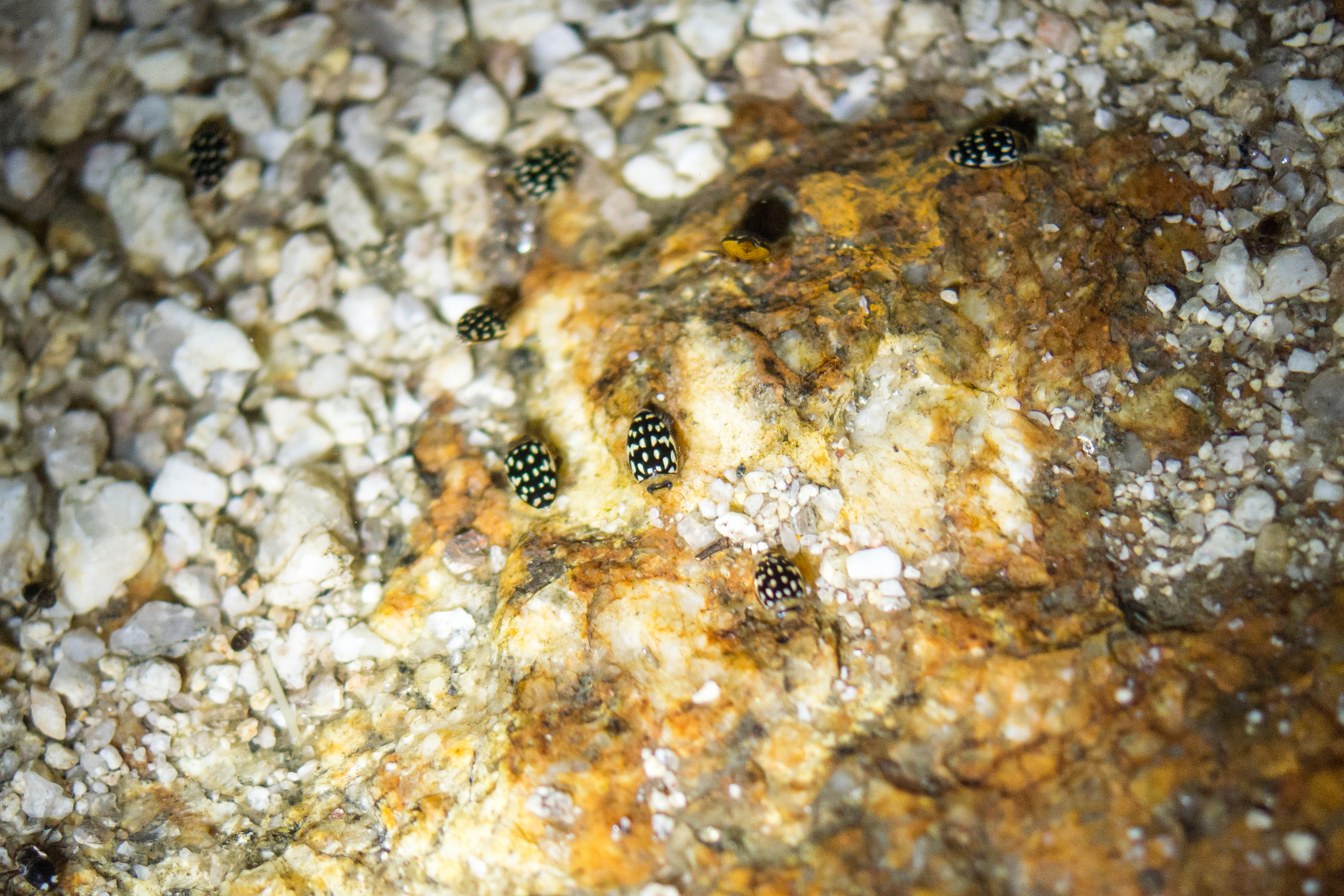

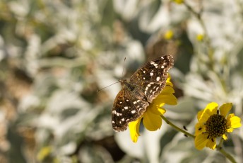
Right: Sunburst Beetle in La Milagrosa Canyon. March 2015.
Trail Notes
[CueListWarning]
- 0.0 miles, 2780′: Start at the Avenida de Suzenu Trailhead [Waypoint thast]. Walk around the gate and east along Horsehead Road.
- 0.6 miles, 2800′: Pass Wentworth Road and continue east around a gate [Waypoint hhr-lmg], across Molino Canyon and up a small hill.
- 0.8 miles, 2810′: After the trail makes a short descent look for an unsigned junction and take a left (to the east) for the Milagrosa Trail [Waypoint lmg-acc-w]. (The Agua Caliente Canyon Trail continues to the right to the Agua Caliente Wash – see the La Milagrosa and Agua Caliente Canyon Trail Loop for more information.)
- The trail climbs onto the north ridge of Milagrosa Canyon.
- 1.2 miles, 3110′: The trail passes a gate and fence [Waypoint lmg01] – in early 2015 the gate had fallen over.
- At about 1.3 miles – just before the trail turns north and descends to the bottom of La Milagrosa Canyon – an obvious side-trail takes you to an area that overlooks a deep section of canyon that often holds a large pool of water.
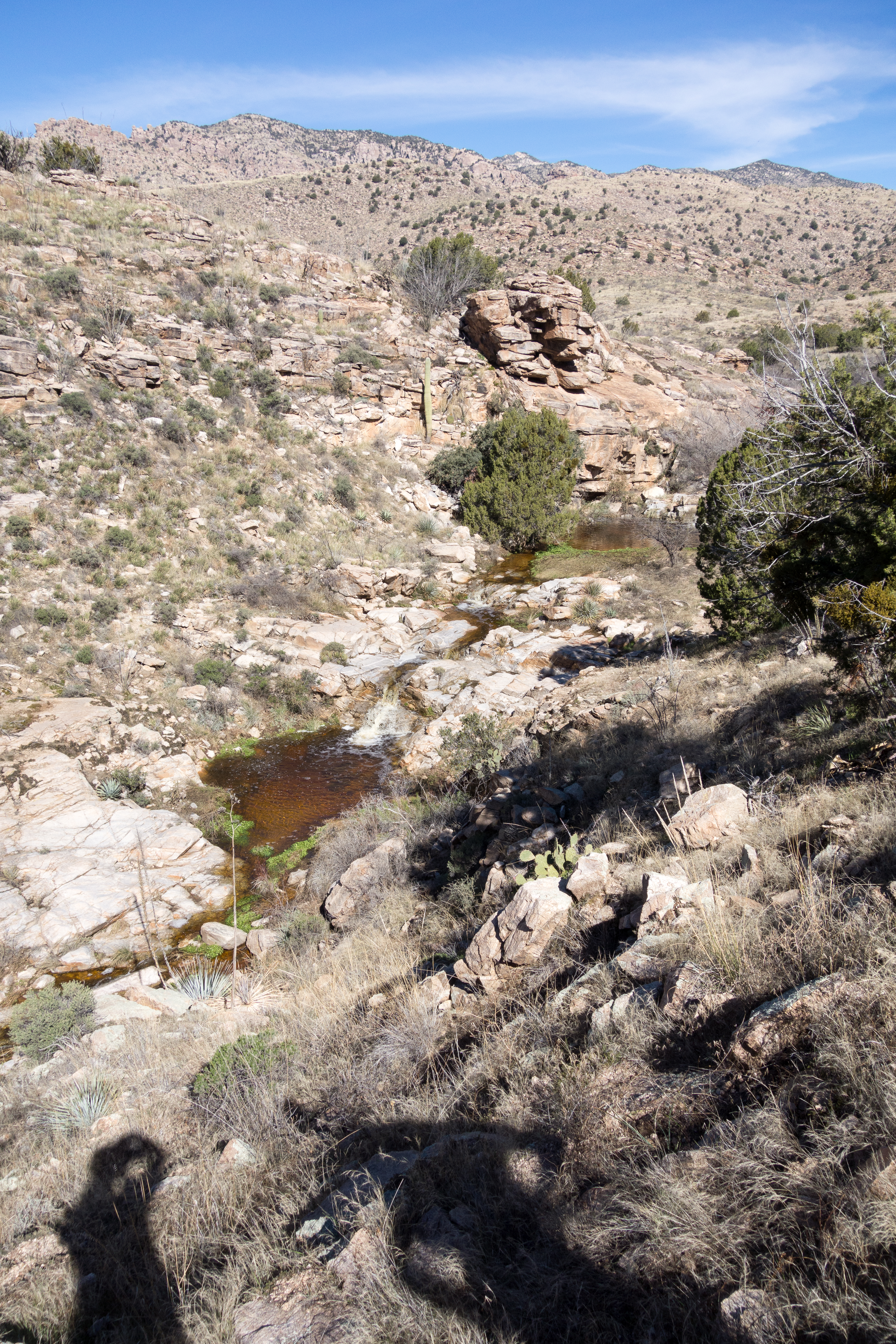
- 1.5 miles, 3130′: Cross La Milagrosa Canyon at a lovely rocky spot – especially when there is water this is a great place for a break. [Waypoint lmg02]
- After crossing La Milagrosa Canyon the trail climbs to the top of the ridge between Agua Caliente and La Milagrosa Canyons.
- 2.4 miles, 3590′: At an unsigned junction the La Milagrosa Canyon Trail continues to the left along the ridge – to the right the Agua Caliente Canyon Trail descends steeply into Agua Caliente Canyon [Waypoint lmg-acc-e]. (See the La Milagrosa and Agua Caliente Canyon Trail Loop for more information about the Agua Caliente Canyon Trail.)
- 3.9 miles, 3990′: Cross a fence and continues along the ridgeline. [Waypoint lmg03]
- 5.1 miles, 3980′: Unsigned junction of the La Milagrosa and Bellota Trail. [Waypoint bl-lmg]
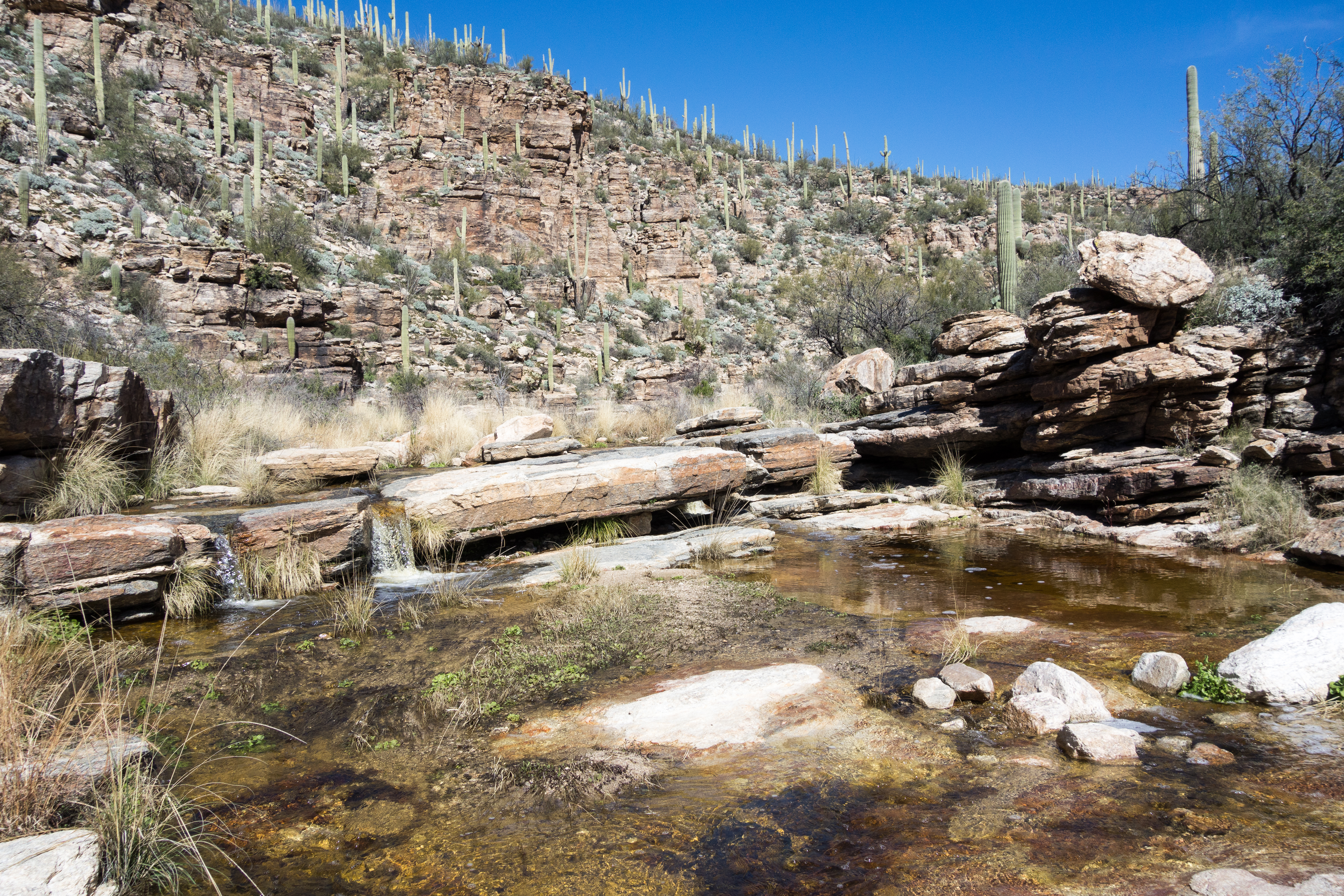
Right: Crossing La Milagrosa Canyon. February 2015.
Approximately 1.6 miles from the Avenida de Suzenu Trailhead, not long after crossing La Milagrosa Canyon [Waypoint lmg-acc], several maps show a road (or trail) splitting off from the La Milagrosa Trail that goes to Whitetail Tank. While Whitetail Tank is not a difficult hike the trail/road is very obscure for most of it’s length and hiking to Whitetail Tank is best considered an off-trail adventure – read more in Whitetail Tank – 1/3/2015.


Resources
- HikeArizona.com
- Tucson Trail Runners – Soldier/Milagrosa Loop
- Sonoran Desert Mountain Bicyclists – LA MILAGROSA
- Mountain Project – La Milagrosa Canyon
- [GuideYellowBook/]
- Posts on HikeLemmon.com:
- La Milagrosa, Agua Caliente Canyon Loop – 1/27/2019
- La Milagrosa Canyon Views, 3/6/3016
- Agua Caliente Canyon, La Milagrosa Loop, Colors – 11/21/2015
- Molino Basin to Agua Caliente Hill – 10/31/2015
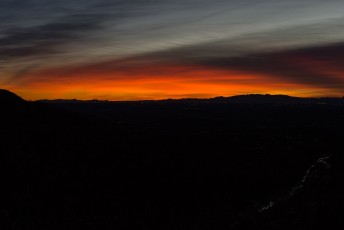
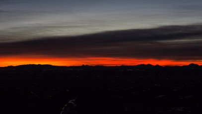
- Flowers, Sunset, Night – 3/14/2015
- Prison Camp to Avenida de Suzenu – Molino Basin, Bellota and La Milagrosa Trails – 2/4/2015
- Whitetail Tank – 1/3/2015
- La Milagrosa Trail to the Gate – 12/21/2014

Pictures
2014 December La Milagrosa Trail

Update Notes
- 2017/8/14 – HikeLemmon posts added to Resources
- 2017/8/13 – Img Srcset update, added links for the loop with Agua Caliente Canyon, Bellota links
- 2015/3/15 – Added pictures
- 2015/2/11 – GPX updated with newer waypoint names
- 2015/2/7 – Initial version