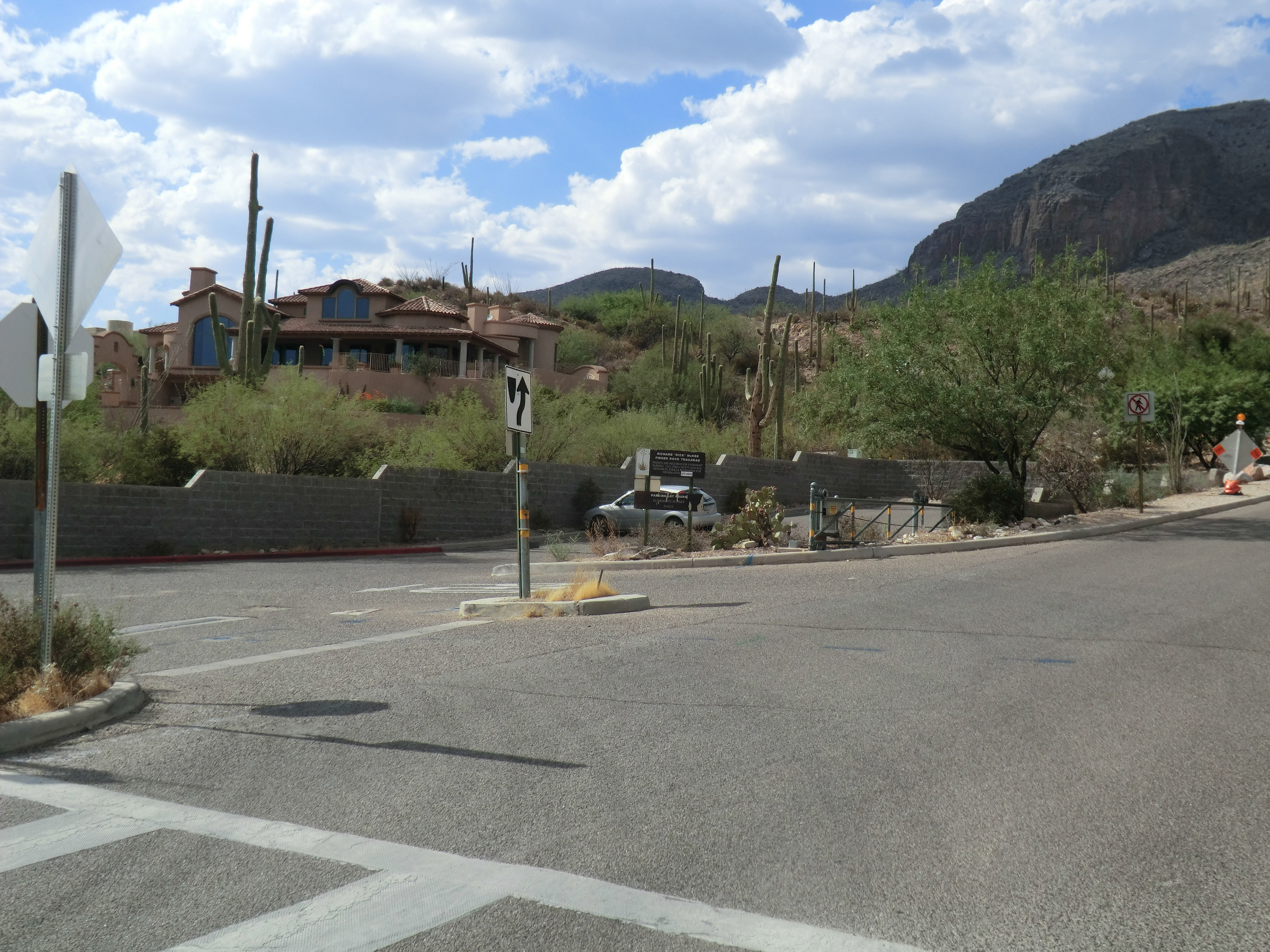
Richard McKee Finger Rock Trailhead - parking for the Pontatoc and Finger Rock Trails. May 2015.
Overview
Location
- City's Edge Hikes - Santa Catalina Mountains - Southern Arizona
- Google Map Coordinates: 32.33620692 -110.91003746
- At This Trailhead: Finger Rock Trail, Pontatoc Canyon Trail, Pontatoc Ridge Trail, Pontatoc Ridge
- Nearby Trailheads and Parking: West Iris Dewhirst Pima Canyon Trailhead, East Ventana Canyon Trailhead
Driving Time and Distance from Tucson
- 20 Minutes from Speedway and Campbell
- 8.4 miles from Speedway and Campbell
- Vehicle Access: Paved Roads/Passenger Car
Fees and Services
- Fee: No
- Restrooms: No
- Water: Yes (Water Fountain)
Additional Notes
- [pima-county-trailhead-permit/]
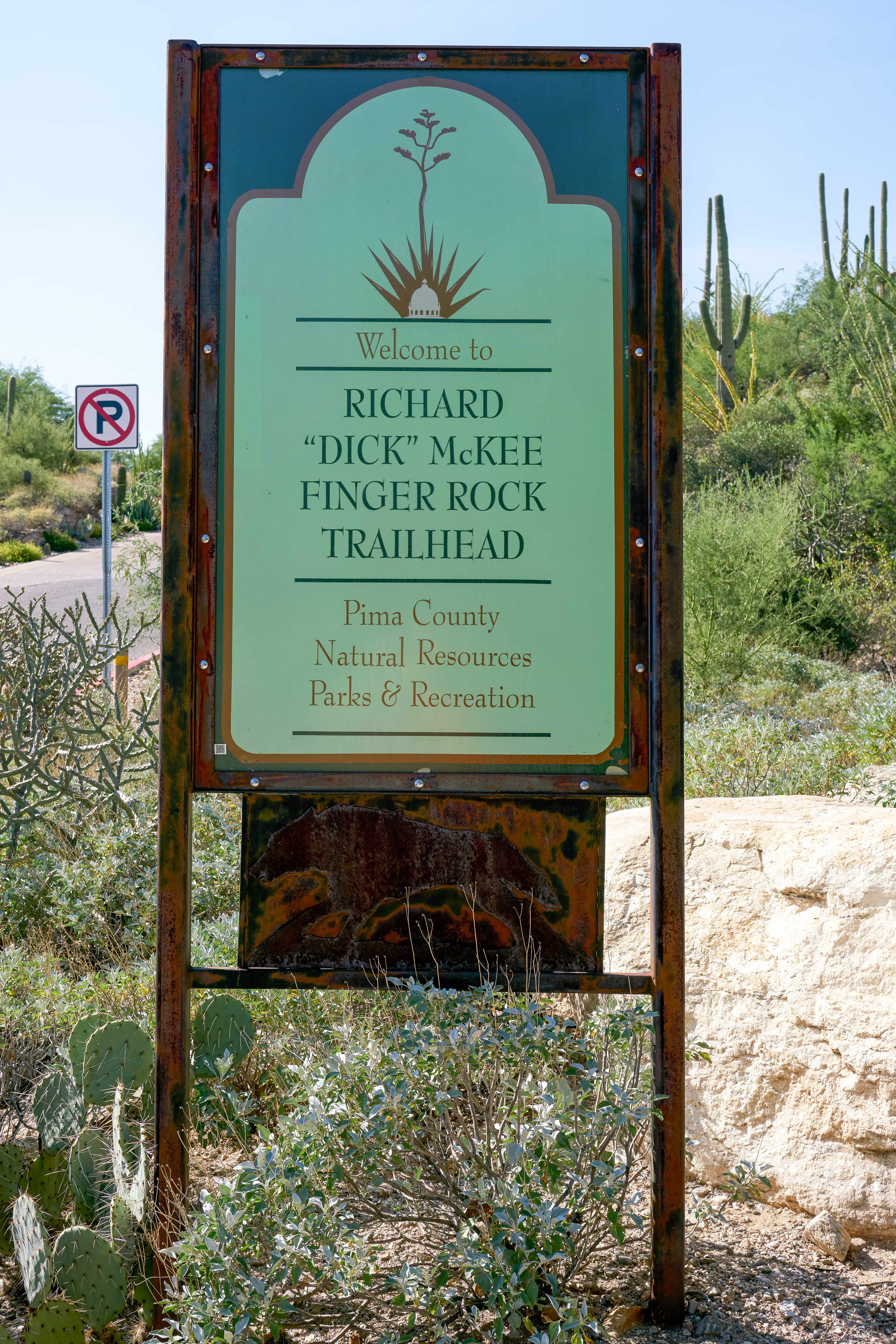
Left: Newer Bighorn signs at the start of the Pontatoc and Finger Rock Trails. August 2017.
Right: Trail sign at the start of the trail. August 2017.
Right: Trail sign at the start of the trail. August 2017.
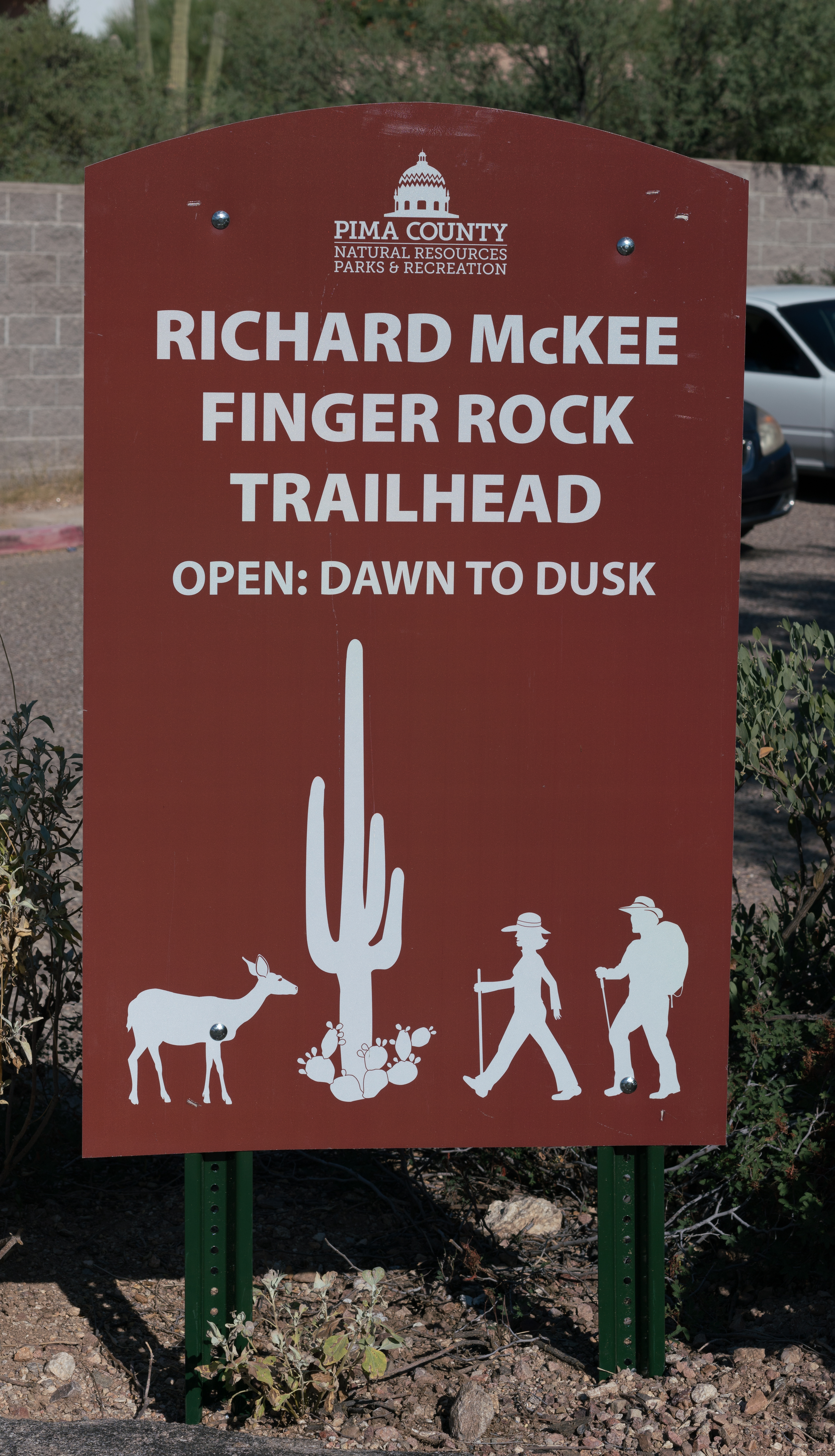
Sign at the entrance to the parking area - a newer style sign added in 2017. September 2017.
Driving Directions
Suggested driving directions from the Speedway and Campbell intersection in Tucson to the Richard McKee Finger Rock Trailhead:
- North on Campbell (6.4 miles)
- Right onto Skyline (0.4 miles)
- Left to continue on Skyline (0.7 miles)
- Left on North Alvernon Way (0.9 miles)
- The trailhead is on the left/west side of the road.
Google Maps Directions from the Speedway and Campbell intersection in Tucson to Richard McKee Finger Rock Trailhead.
Resources
- Posts on HikeLemmon.com:
- Strange Vandalism – 5/4/2018, 3/4/2018, 5/24/2015
- Pontatoc Canyon – 3/27/2017
- Pontatoc Canyon Trail – 2/5/2017 and 2/9/2017
- Pontatoc Ridge – 12/18/2016
- Pontatoc Ridge Trail – 9/4/2016
- Pontatoc Ridge Trail – 4/3/2016
- End of the Day Sun in Pontatoc Canyon – 3/13/2016
- Pontatoc Canyon – 5/24/2015
- Pontatoc Canyon Flowers – 3/21/2015
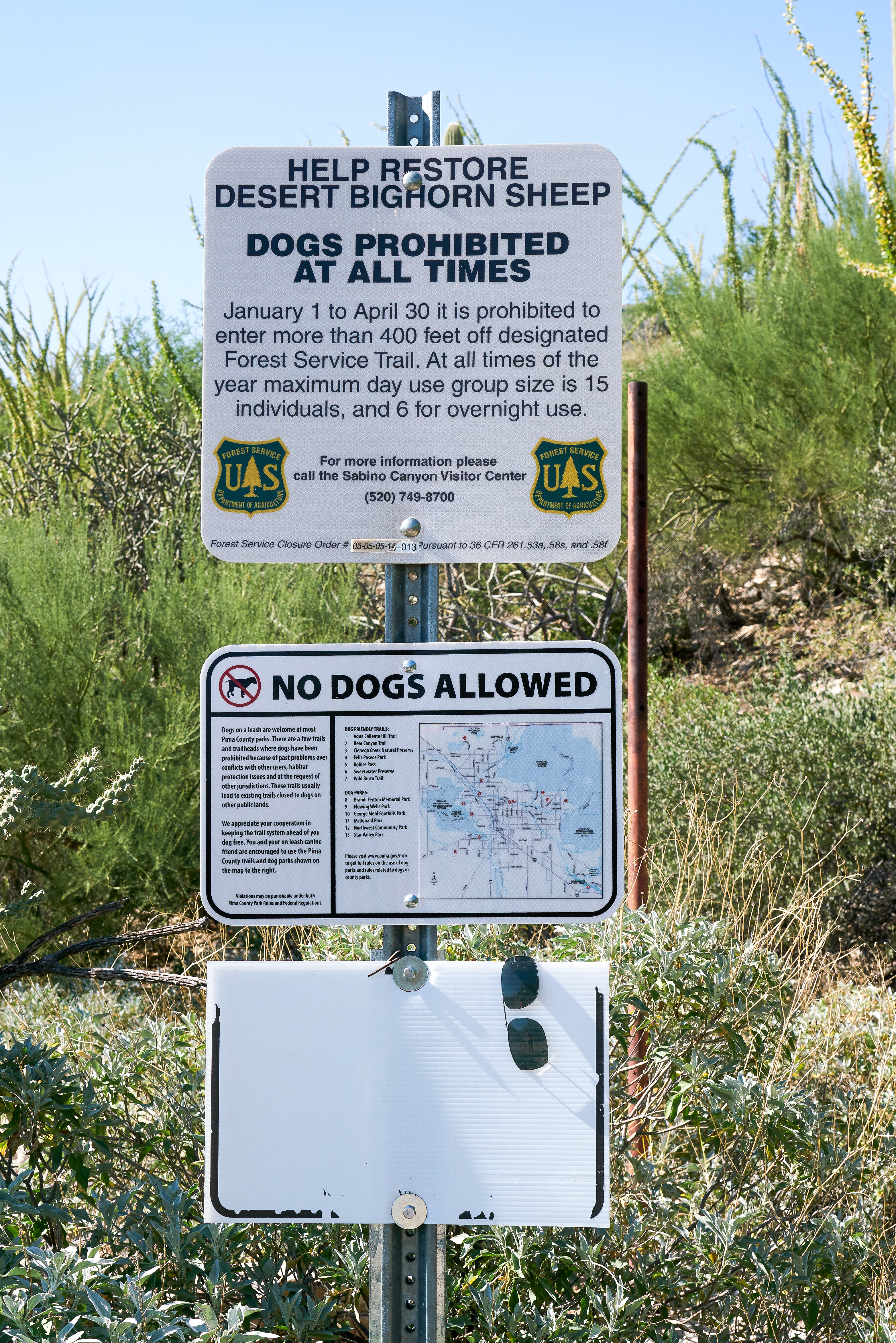
Older Bighorn Information signs at the start of the trail. August 2017.
All Trailheads - Map
Update Notes
- 2019/1/29 – Resources format update, tags update
- 2017/11/27 – Added new pictures
- 2017/8/13 – Img Srcset update, add All Trailheads Map