Fenced Corridor, Rosewood Point, Campbell Trailhead – 12/22/2018

The fenced access corridor from the Campbell Trailhead. December 2018.

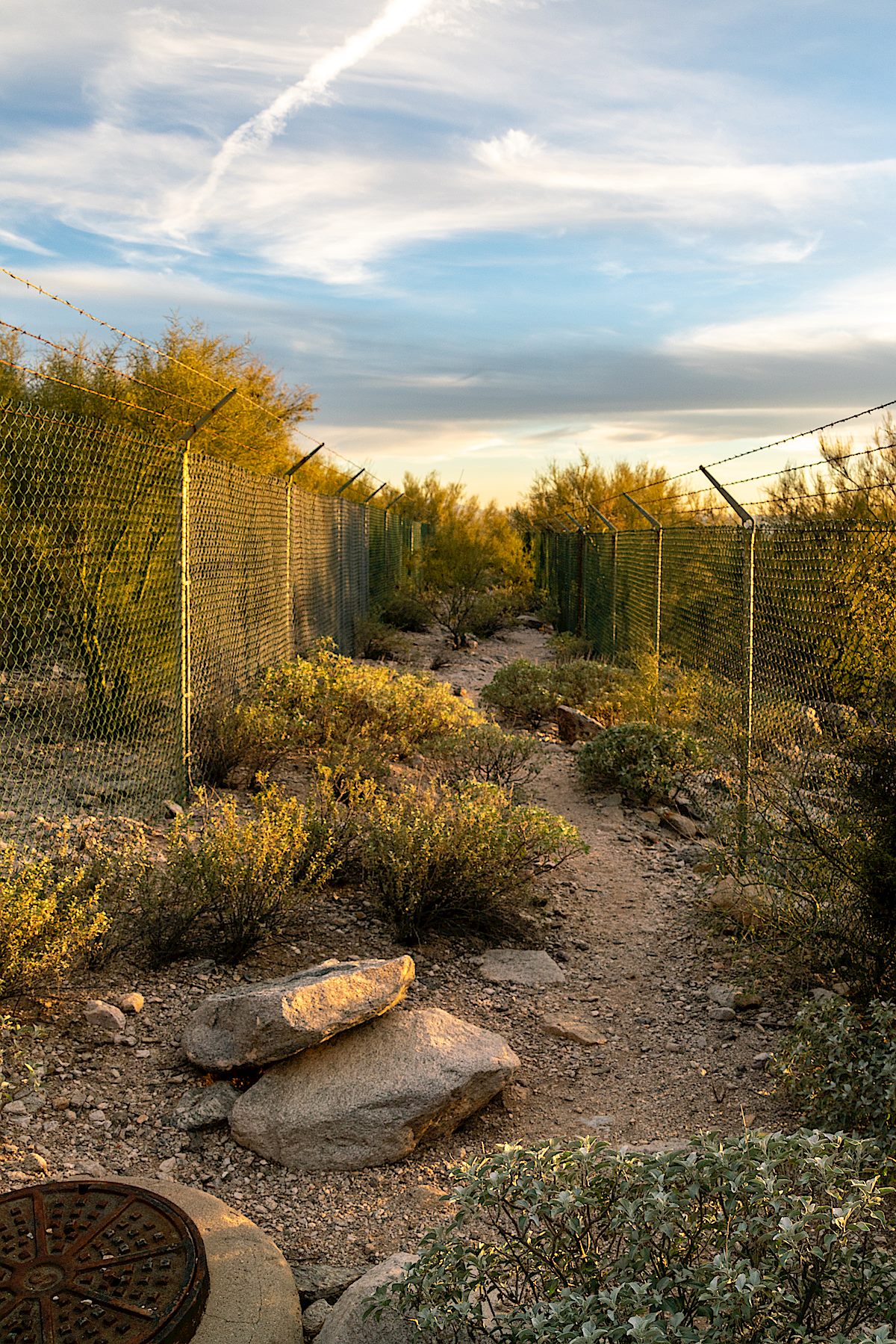
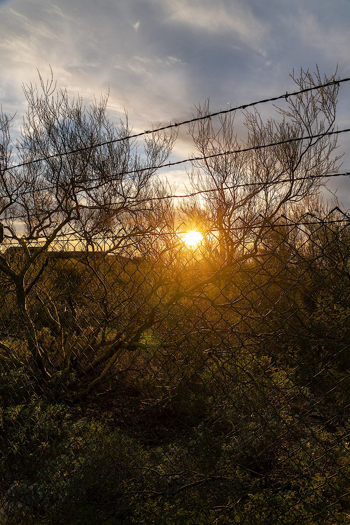
Hiking north from the Campbell Trailhead is an interesting experience – for much of its length the tight corridor to the Pusch Ridge Wilderness is bounded by chain linked fence topped with barbed wire – today it reminds me of a passage from Paul R. Krausman’s And Then There Were None – The Demise of Desert Bighorn Sheep in the Pusch Ridge Wilderness, p. 103:

it was apparent that the growing human population of Tucson and surrounding towns had developed right up to the borders of protected areas, essentially creating an anthropogenic fence around the population of bighorn sheep that prevented them from moving to other mountain ranges that they historically occupied in the Tucson Basin, including the Silver Bell, Tucson, Rincon, and Santa Rita Mountains, which may have provided habitat for a metapopulation of bighorn sheep. This anthropogenic fence clearly added to the genetic isolation of the herd.

I don’t believe there is any intended double meaning in Krausman’s passage – but, in-between the tall chain link, it seems to beg for a re-imagining into the text of a future – strangely similar – volume on a different species:

it was apparent that the growing human population of Tucson and surrounding towns had developed right up to the borders of protected areas, essentially creating an anthropogenic fence that prevented them from moving thru the mountain ranges that they had historically used in the Tucson Basin, including the Silver Bell, Tucson, Rincon, and Santa Rita Mountains, which may have provided critical habitat for escape from their increasingly crowded technologically-dominated urban environment. This anthropogenic fence clearly added to the isolation of the human population from the natural world now so critical to their survival.
Looking across Pima Canyon to Pusch Peak, The Cleaver and Bighorn Mountain from just below Rosewood Point. December 2018.

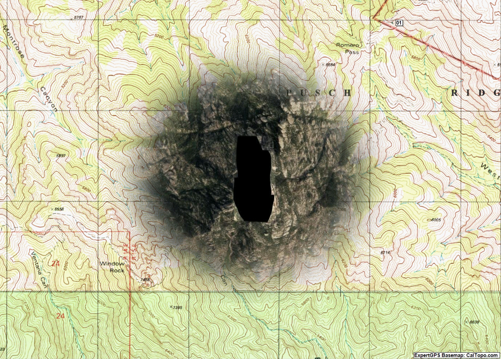
With an official trailhead you might expect an official trail at the end of the access corridor, but there isn’t one – and with the overlapping concerns of the Pusch Ridge Wilderness and Bighorn Management Area I don’t think there ever will be. Without an official trail entrance into the wilderness is closed at this location from January 1 to April 30 – but the rest of the year you can explore the wilderness – perhaps finding the rough, informal, steep, sometimes obscure and hard to find route that winds its way towards Rosewood Point and up towards more distant destinations.

Looking up Pima Canyon from the Rosewood Point area. December 2018.

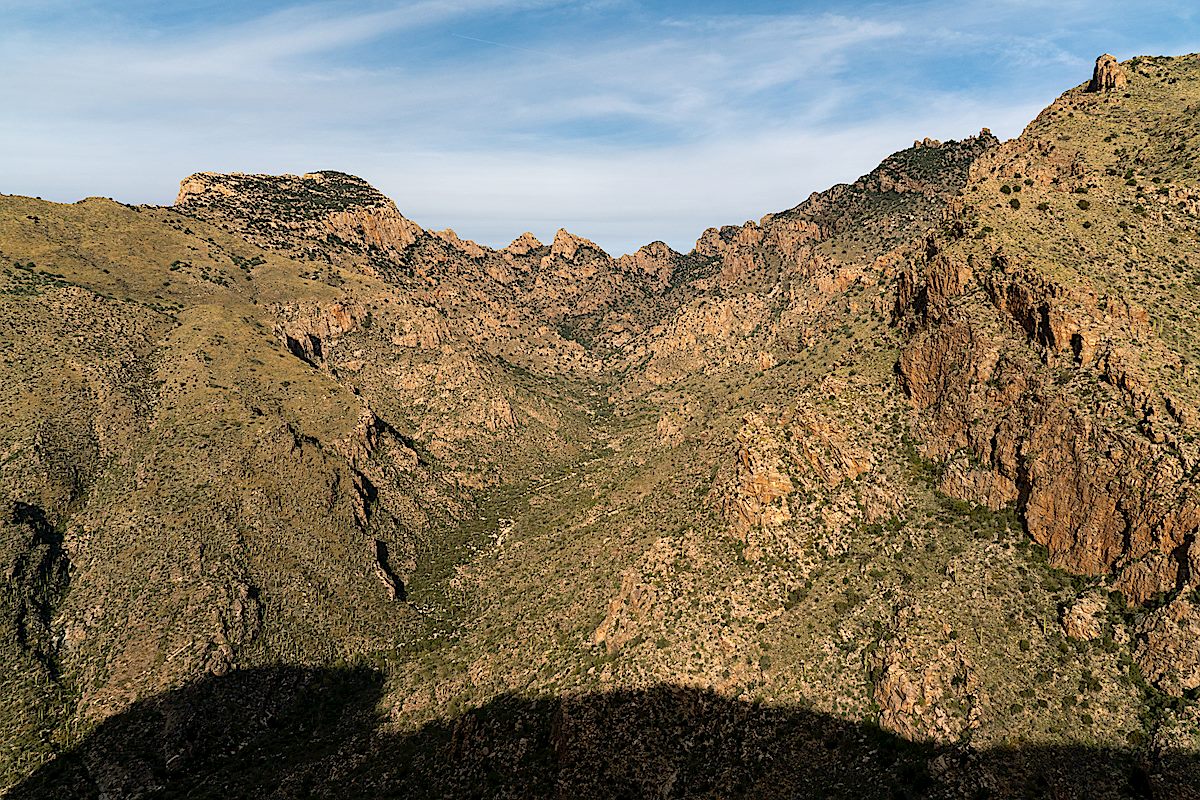
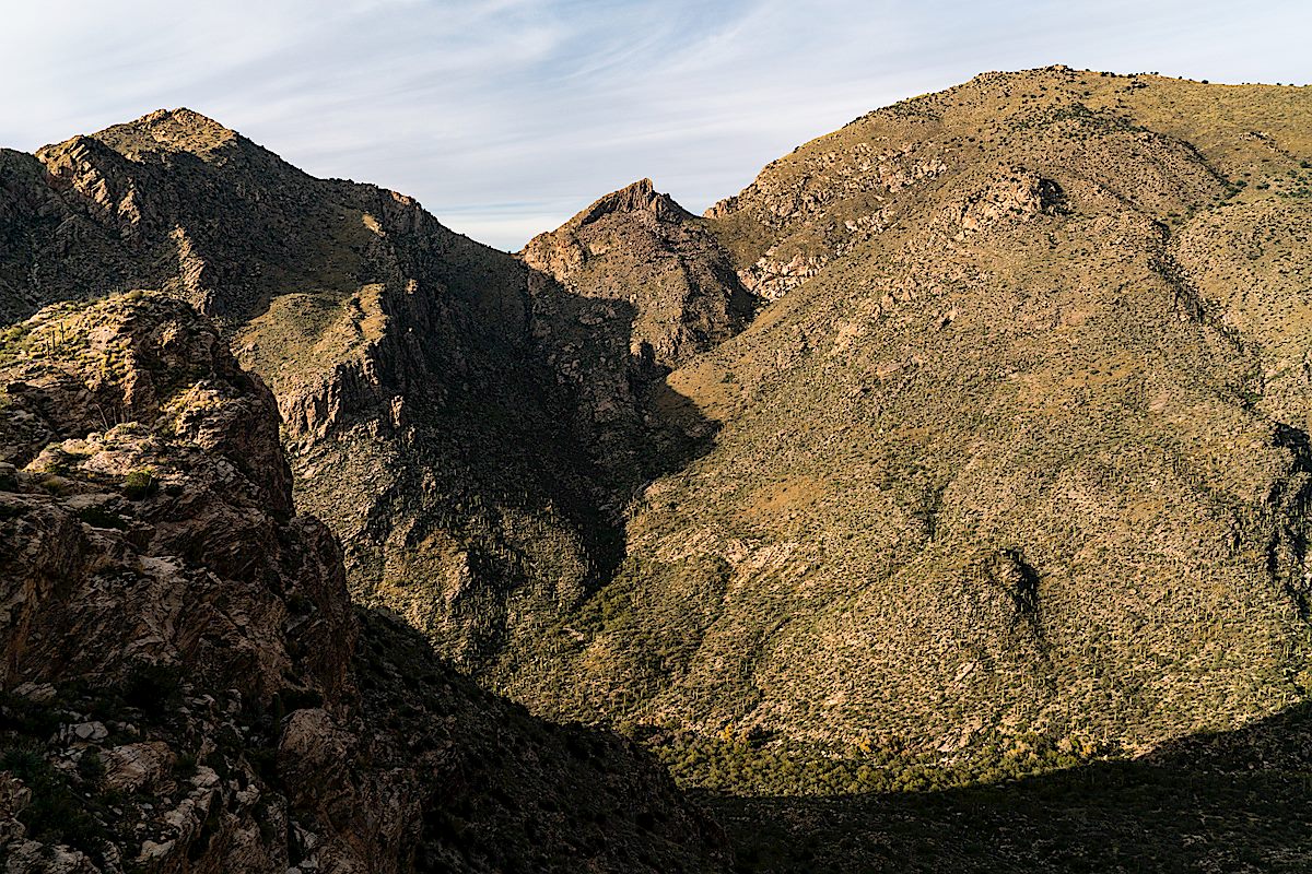
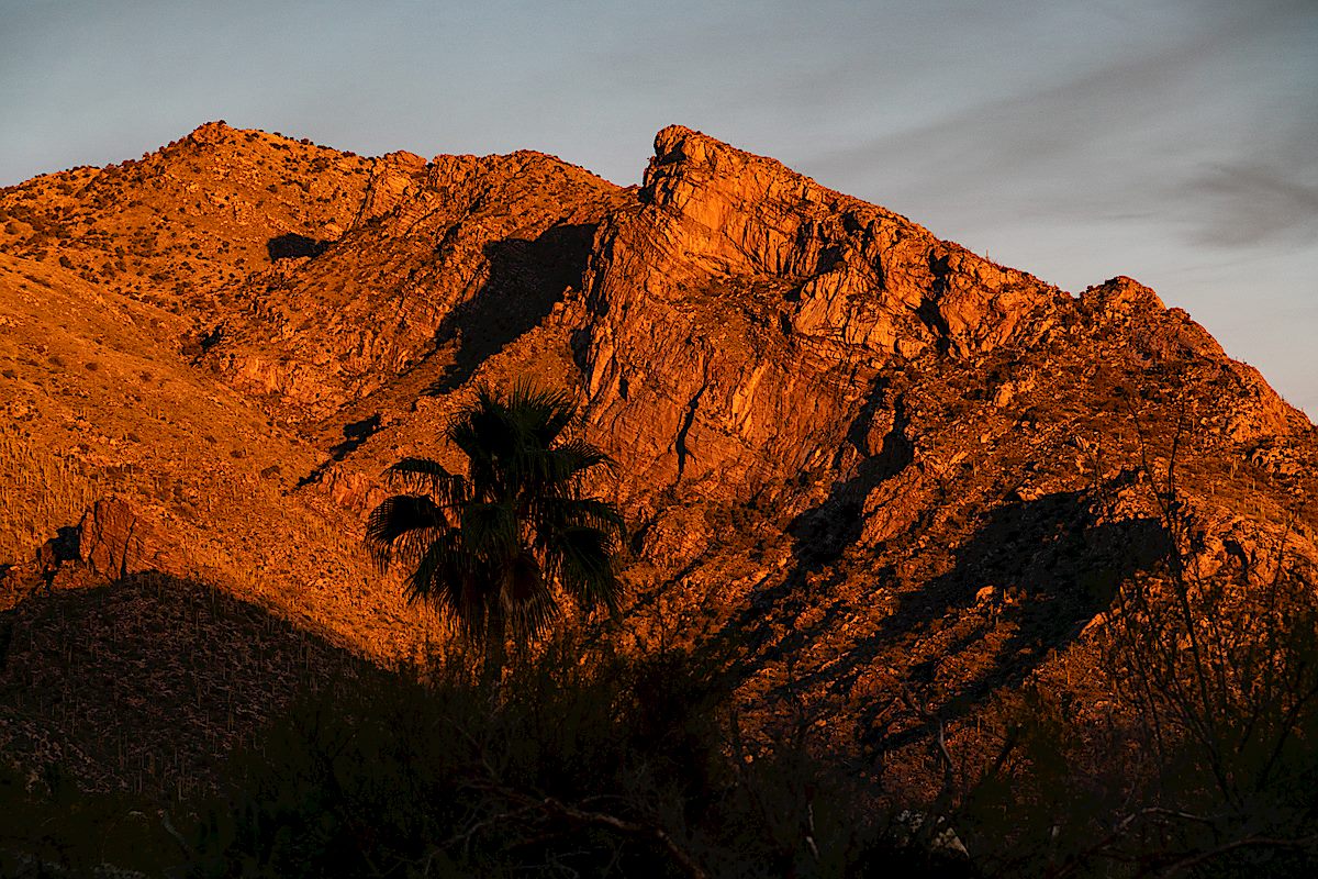
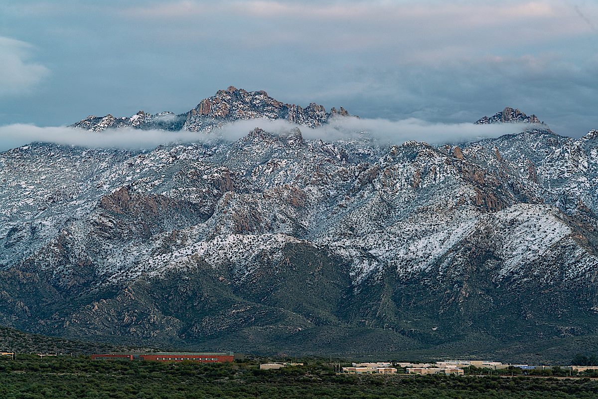
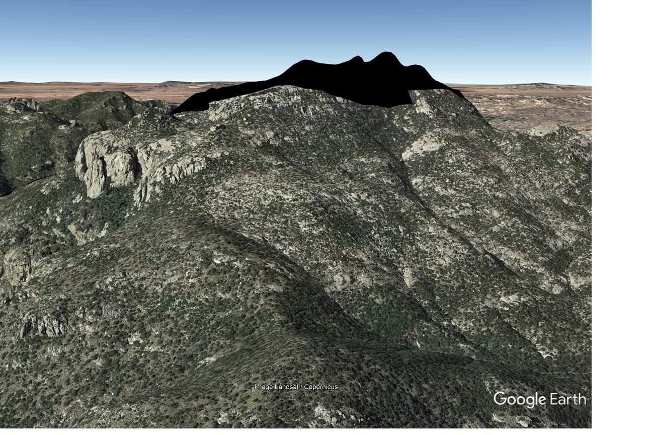
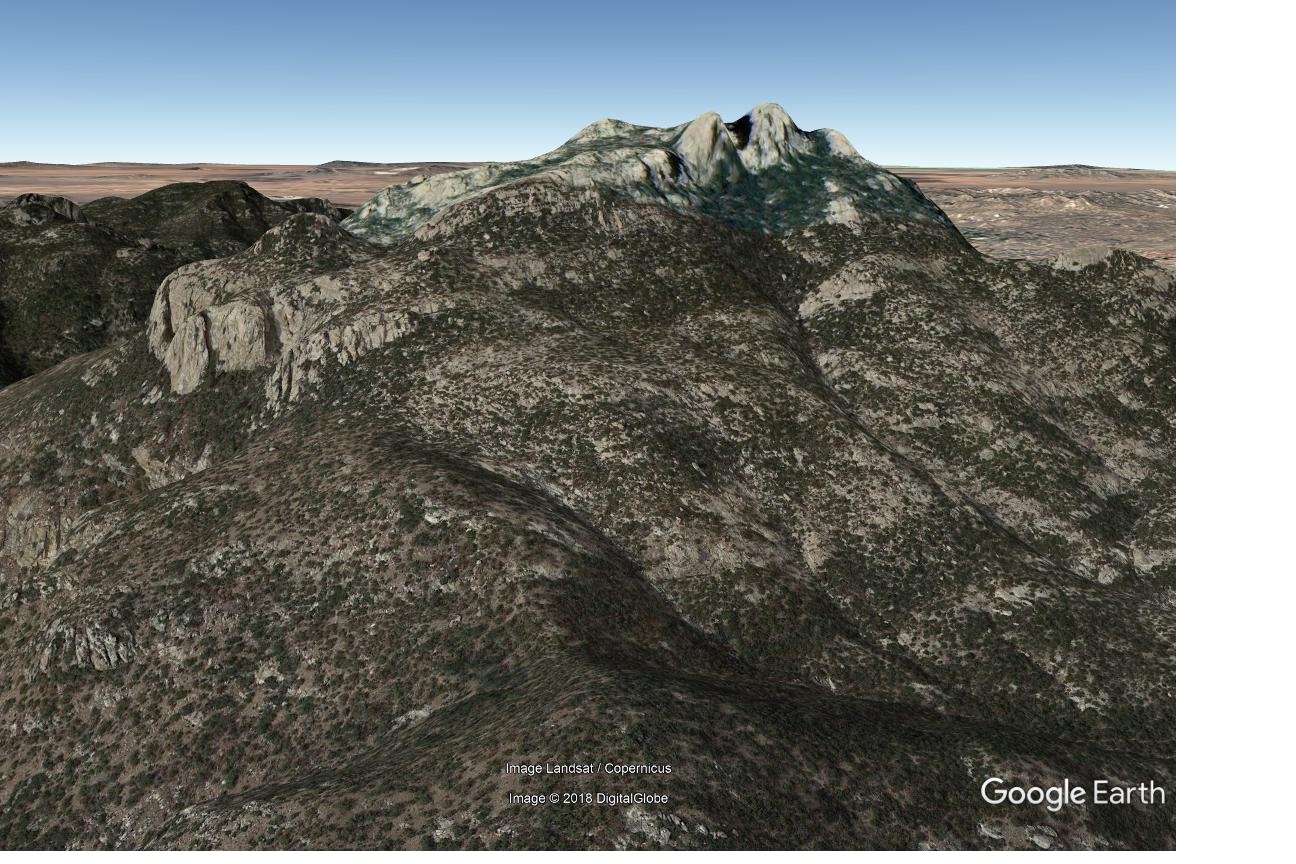
Rosewood Point is on the east side of Pima Canyon with views down into the canyon and across to the well known destinations on Pusch Ridge: Pusch Peak, The Cleaver, Bighorn Mountain and Table Mountain – and Rosewood Point is high enough that, like all good destinations in this area of the mountain, there is a thriving population of Shin Daggers to …enjoy… A minor, but worthy, destination.

Sun and fence on the Campbell Trailhead access corridor. December 2018.
Pontatoc Ridge in the Sunset from the Campbell Trailhead. December 2018.

Government Shutdown, Day 24 – 1/14/2019

Bigelow Trailhead - trashed... January 2019.
Bigelow Trailhead – trashed… January 2019.

Trash piles up on Mount Lemmon as government shutdown lingers and endless other headlines from our National Parks during the Government Shutdown are on my mind on the way up the highway.

At Babad Do’ag I don’t see a pile up and at Molino Basin the bathroom doors are open and things look clean – I can see a little trash scattered at Windy Point, but nothing out of the ordinary after a busy weekend and in Bear Canyon things seem fine.

The Bigelow Trailhead is the first place I pull in where the government shutdown really shows – trash is scattered across the parking lot and accumulating under overflowing trash bins – a women hesitates at the bathroom door and turns back to the car exclaiming ‘not fit for a pig’.

Bits of trash at a trailhead really just isn’t all that shocking – there is a reason that I keep a trash picker in the truck – but this amount of trash is unusual and sad. It doesn’t take long to have two trash bags full and leaning against the truck – I’m working on bag three (mostly broken plastic sled pieces) when when a Forest Service Crew pulls up – a sort of trash strike force they quickly empty bins, grab trash and work on the restrooms – in spite of what I suspect must have been an epic (depressing?) day of cleaning up trash they still smile and graciously add my collected garbage to their load.

I wonder if other areas were as bad as the Bigelow Trailhead before the Forest Service crew came thru? Probably… It is sad to see people leave so much trash – and sad that our government can shutdown and leave these places without the care they deserve.

Three Forest Service workers were out cleaning up - barely visible but you they had nearly filled the larger truck and were loading trash into the smaller truck too. January 2019.
Three Forest Service workers were out cleaning up – barely visible but you they had nearly filled the larger truck and were loading trash into the smaller truck too. January 2019.

Black Blobs, Ghost Camps – 1/7/2019

The Google Maps black blob covering the Cathedral Rock Area - surrounding topo map for reference. January 2019.
The Google Maps black blob covering the Cathedral Rock Area – surrounding topo map for reference. January 2019.

A message from the amazing Arizona based photographer Erini Pajak (Instagram) let me know that according to Google a strange black blob had appeared in the Santa Catalina Mountains. I was, of course, 99.999999% sure that this was something mundane like an unfortunate Google maps omission for a government agency or map data oddity/error and not a reflection of the real world. Thinking otherwise is probably the territory of theories like ‘blacked out because of an alien landing’ or ‘blacked out because new high resolution imagery clearly shows the Iron Door of mine-with-the-Iron-Door fame and Google is in the process of claiming mineral rights’ – but Google’s power and reach these days is such that sometimes it seems their information creates and influences reality rather than just reflecting it… So it was with 0.000001% relief that my recent photographs of Cathedral Rock didn’t show a black blob covering the peak!

Cathedral Rock and Window Peak on New Year's Day. January 2019.
Cathedral Rock and Window Peak on New Year’s Day. January 2019.
The Google Black Blob covering the Cathedral Rock area in Google Earth. January 2019.
The Google black blob covering the Cathedral Rock area in Google Earth. January 2019.

The images above show the black blob as seen on my screens in early January – I still see the blob on Google Maps, but changing the imagery date in the desktop version of Google Earth immediately shows the expected imagery (shown below). I can’t find any hint of the black blob in Microsoft’s Bing Maps, Gaia GPS and Backcountry Navigator Pro so it appears that the Cathedral Rock area is safe…

Google Earth - Cathedral Rock area with complete imagery. January 2019.
Google Earth – Cathedral Rock area with complete imagery. January 2019.

I suspect that any map large and detailed enough to be interesting – printed or digital – has errors, or at the very least representations that are historically accurate but not currently relevant…

Witness the Ghost Campgrounds of the Santa Catalina Mountains – current results that come up if you zoom in and search for ‘campgrounds’ in Google Maps…

Google Maps - a search for Campgrounds reveals some questionable results... January 2019.
Google Maps – a search for Campgrounds reveals some questionable results… January 2019.

From left to right:

Box Camp Trailhead: a great place to start a hike and a decent place to backpack from – but there is no campground or camping in the trailhead proper…

The Box Camp Trailhead - no campground to be seen... September 2014.
The Box Camp Trailhead – no campground to be seen… September 2014.
The closest you are going to get to camping at the Box Camp Trailhead is loading up your gear and hiking in! March 2008.

Bear Wallow Campground: A beautiful area for a hike, probably the best single spot for Fall color in the Santa Catalina Mountains and the first official campground on the mountain (established in 1921!) – but it has been closed to camping for decades…

No camping sign in Bear Wallow. August 2017.
An empty sign holder still standing in the Bear Wallow area - leftover from earlier days... October 2018.
An empty sign holder still standing in the Bear Wallow area – leftover from earlier days… October 2018.
A picture from as close as I could find to Google's Bear Wallow Campground marker - perhaps inviting but no campground in sight and in fact Camping is not permitted in this area. August 2017.
A picture from as close as I could find to Google’s Bear Wallow Campground marker – perhaps inviting but no campground in sight and in fact Camping is not permitted in this area. August 2017.

Santa Catalina Recreation Area: Well, I guess unlike the previous two examples you could legally camp at, or in many places near this marker – but that is true of most of the Santa Catalina Mountains that (like this spot) are away from roads and ‘civilization’ – there is no road or trail to this area and if there is an opposite of ‘Campground’ this might be it…

Google's Santa Catalina Recreation Area Campground Marker on a USGS topo map. January 2019.
Google’s Santa Catalina Recreation Area Campground Marker on a USGS topo map. January 2019.

In the case of Google Maps the map interface features a ‘Suggest an Edit’ button that allows you to submit potential corrections – I have submitted corrections to the campgrounds above perhaps by the time you look they will be corrected…

I’m sure, especially as you really dig into the details, that there are more interesting mapping oddities, mysteries and errors in the Santa Catalina Mountains – leave a comment if you want to share one!

Alder Wash Ruin, History is in the Land: Multivocal Tribal Traditions in Arizona’s San Pedro Valley – 5/17/2018

History is in the Land: Multivocal Tribal Traditions in Arizona's San Pedro Valley - T. J. Ferguson and Chip Colwell-Chanthaphonh. June 2018.
History is in the Land: Multivocal Tribal Traditions in Arizona’s San Pedro Valley – T. J. Ferguson and Chip Colwell-Chanthaphonh. June 2018.

Alder Wash Ruin is a complex, multicomponent site that includes Hohokam pithouses, agricultural features, and a Sobaipuri component. … The different forms of pithouses at Alder Wash Ruin are generally considered to be representative of cultural interaction between the occupants of the San Pedro Valley and areas to the north and east.

Today’s walk thru the Alder Wash Ruin is a different experience than standing at Reeve Ruin several years ago. Of course the sites themselves are different – Alder Wash is a Hohokam site, Reeve Ruin was occupied by Western Pueblo people who migrated into the San Pedro River Valley… But the experience is largely different because over the past few years I have learned more about the history of the San Pedro River and had the chance to visit more archaeological sites in Southern Arizona. Now I sometimes recognize a scatter of sherds on the desert floor, mounds and depressions occasionally make a tiny (very very tiny…) bit of sense, site names like Davis Ranch, Soza Ruin, Second Canyon, Twin Hawks, Bayless Ruin have a certain familiarity. Some of my familiarity comes from reading (and re-reading) History is in the Land: Multivocal Tribal Traditions in Arizona’s San Pedro Valley by T. J. Ferguson and Chip Colwell-Chanthaphonh – a quote from the book explains the project it is based on:

As Bill Doelle and his colleagues continued their research [along the San Pedro River] in the 1990s, analyzing survey data and initiating test excavations at selected sites, they realized they were acquiring substantial scientific data but had little understanding of what these places mean to contemporary Native Americans whose ancestors once occupied the valley. … He realized that archaeology alone could not provide all of the information needed to fully understand the past. This was the beginning of the San Pedro Ethnohistory Project. … The San Pedro Ethnohistory Project was designed as collaborative research with four Indian tribes to redress this situation by visiting archaeological sites, studying museum collections, and interviewing tribal members to collect traditional histories.

Migration is one subject explored in the History is in the Land: Multivocal Tribal Traditions in Arizona’s San Pedro Valley – the Zuni and Hopi participants in the San Pedro Ethnohistory Project recognize their ancestors in the ruins along and artifacts from the San Pedro River. Migration is also explored on a larger scale in Craig Childs’ House of Rain: Tracking a Vanished Civilization Across the American Southwest. House of Rain is an epic travelogue following the migrations of the Ancient Puebloans from Chaco Canyon, across the southwest and south into Mexico. T. J. Ferguson, one of the authors of History is in the Land, is interviewed by Childs in House of Rain – 

In an even-tempered voice he told me that it is a mistake to see prehistoric archaeology and Native American history as being separate. “It’s an unbroken chain,” Ferguson explained, his soft, glacial-blue eyes peering into the desert as he spoke. “You can’t look at one without looking at the other. And if you’re following paths of migration, you’ll find them in linguistics and in oral traditions. They are still very much intact.”

Sherd at the Alder Wash Ruin. May 2018.
Alder Wash Ruin area above Alder Wash near the San Pedro River. May 2018.

Desert Plants – Santa Catalina Mountains – 6/7/2018

Desert Plants - Annotated Flora of the Santa Catalina Mountains, Pima & Pinal Counties, Southeastern Arizona. June 2018.
Desert Plants – Annotated Flora of the Santa Catalina Mountains, Pima & Pinal Counties, Southeastern Arizona – James T. Verrier. June 2018.

It was an absolute thrill to find that the current issue (Volume 33, Number 2, January 2018) of Desert Plants is about the Santa Catalina Mountains! I love the Catalinas and would be excited regardless of what was inside this volume, but to find pictures of lesser traveled destinations like Buehman Canyon and Burro Creek, sections on the history of botanical collection, rare plants and invasive plants and a long annotated checklist of vascular plants followed by pictures?!?! Amazing!!

Given the remote locations and large amount of material in this volume I was not completely surprised to read James T. Verrier’s notes on the effort that went into this project:

A total of 380 days of field work were conducted between April 2007 and December 2017, including over 28,000 miles of driving. Although nearly all areas of the range were visited, lesser collected regions were emphasized. … Extensive botanical exploration was performed on the remote and rugged east side of the mountains. Field days sometimes included up to a 180-mi round trip to a single destination, traveling along rough Jeep trails and arriving in areas with no trails. These areas proved to be the most satisfying to explore and filled in large voids of the known flora. … All field work was conducted while working a full-time job, so only day trips were possible. Field days were typically long and tiring, beginning at 5am and sometimes returning home after 9pm.

Recent issues of Desert Plants can be found at the Kirk-Bear Canyon Library (with the periodicals) and older issues are available for in library use at the Joel Valdez Main Library. Desert Plants is sold by Desert SurvivorsPlants for the Southwest, and B & B Cactus – I suggest contacting them before visiting to ask if they have the issue you want in-stock. The Desert Plants Journal also sells issues and when I contacted them about a purchase were quite helpful!