Visitation, 66, Death, Shuttles, Booms – 10/22/2016

Stars over Sabino Canyon. August 2016.

Positive Arizona State Park attendance and revenue were highlighted in a news release from Arizona Governor Doug Ducey:

More than 2.68 million people visited the parks, contributing $16.4 million in revenue to the State Parks system, an increase from $14.4 million in fiscal year 2015. Visitors to Arizona State Parks contribute nearly a quarter of a billion dollars to Arizona’s economy, according to a 2014 Northern Arizona University study.

The publicly available year-to-date State Park Visitation numbers show a 1.8% visitation increase thru August across all state parks with Catalina State Park reporting an 8.1% increase  (numbers compiled by Northern Arizona University’s Arizona Hospitality Research & Resource Center, the year-to-date comparison is available in the August Report from the Arizona Office of Tourism Data and Trends page under State Park Visitation). Arizona State Parks Attendance And Revenue Hit All-Time High – Office of the Governor Doug Ducey, AZ report reflects good news for state’s parks – TucsonNewsNow.

The shuttle permit in Sabino Canyon is up for renewal – extensive information is available from the Forest Service. There are also comments from Donn Ricketts of Sabino Canyon Tours in KVOA.com’s article Forest Service considering options with Sabino Canyon tram and short summaries of the proposal and alternatives in Speak out: Public comment sought on Sabino Canyon shuttle service from the Arizona Daily Star. Comments must be submitted by 11/13/2016 – design features that would be implemented under the Proposed Action:

  • Minimize the potential for user conflicts and accidents with the shuttle service and other Sabino Canyon Recreation Area users service by modernizing existing 1970s era shuttle fleet
  • Reduce auditory impacts emanating from interpretive narration service and protect ecosystem integrity by modernizing existing 1970s era shuttle fleet and improving audio distribution system
  • Ensure shuttle operations are in accordance with State and local emissions standards by modernizing existing 1970s era shuttle fleet
  • Protect water quality by minimizing point-source pollution from shuttle service by modernizing existing 1970s era shuttle fleet
  • Protect and reduce impacts to the federally-listed Gila Chub and its designated Critical Habitat found within Sabino and Bear Creeks, and the federally-listed Gila topminnow by modernizing existing 1970s era shuttle fleet and improving sedimentation removal procedures from vented low-water crossings
  • Avoid adverse effects to historic vented low-water crossing within the Sabino Canyon Recreation Area

The most important news for Bighorn Sheep in the Santa Catalina Mountains this month was the release of the results from the Arizona Game and Fish population count conducted at the end of September. When the project began the population could be very closely monitored via collars put on all sheep released into the range – but the collars eventually drop off when the batteries are exhausted and sheep born in the range are not collared – at this point the collars no longer give a complete picture of the population. The estimate from the count was a population of 66 – quotes from AZGF before the count stated they would consider an addition translocation if the population was under 70 and the AZGF page for the project now states that a “fourth translocation is being planned, pending survey results of potential source populations.” Recent links:

AZGFD: Deer poached in Santa Catalina Mountains – KVOA.com: “A reward of up to $750 is being offered for information leading to an arrest of a poacher responsible for illegally killing a whitetail deer on Oct. 9 in the Santa Catalina Mountains… the deer’s remains were found on Forest Service Road 4496 near Ruin Tank, in the Charouleau Gap area.” Call 1-800-352-0700 if you have information.

University of Arizona Sky School held guided hikes on the Meadow Trail in October – the Sky School “provides immersive, inquiry-based science programs to Arizona K-12 students. Field experiences focus on core University of Arizona science areas such as sky island ecology, earth sciences, dendrochronology, hydrology, and astronomy, and meet Arizona State Science Standards.” No additional hikes are scheduled at this time but check out their Facebook Page for programs and opportunities.

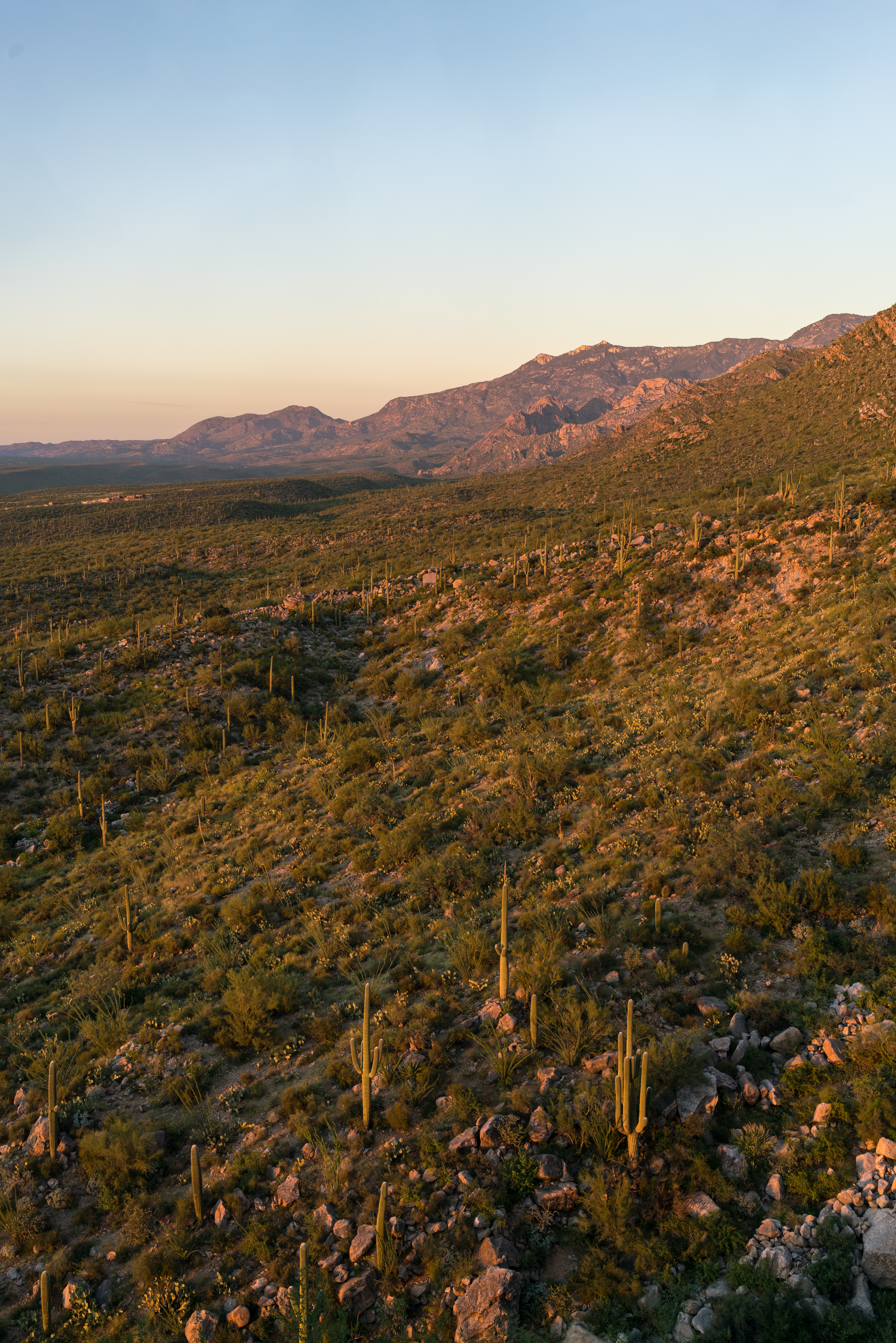
Hittin’ the Trails 4 You: The Finger Rock Trail – KVOA.com: coverage of a classic hike in the Santa Catalina Mountains – the opening text below the video is pretty accurate… “If there’s a poster child for a leg-burning, lung-busting hike, it resides in the foothills of the Santa Catalina Mountains.”

Hittin’ the Trails 4 You: Molino Basin – KVOA.com: The Molino Basin Trail is an easy trail to overlook – it might not become your favorite trail but it is surprisingly nice, especially considering how close to the highway it is.

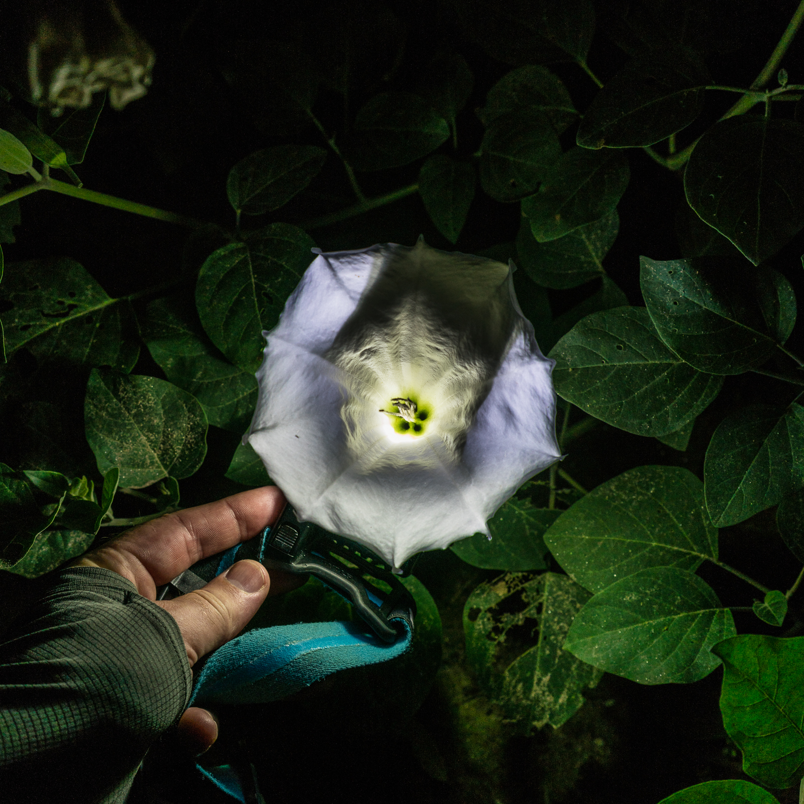
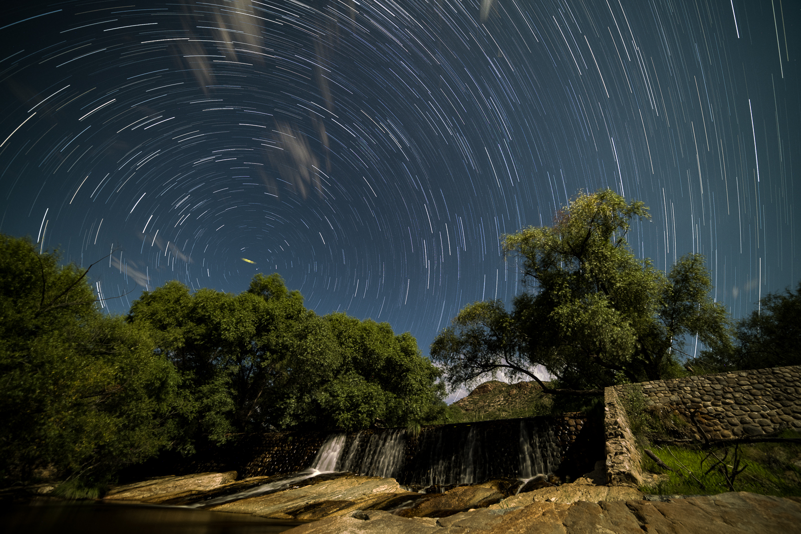
First flushes of fall color brighten Sabino Canyon – Arizona Daily Star: Even lower on the mountain Fall brings some color to the trees – especially along the canyon bottoms!

Pima Co. Sheriff’s Dept. identifies suspect in serial rape case – TucsonNewsNow: The investigation into this case started with a naked woman was found on the side of Mt. Lemmon Highway – other connected assaults did not take place on the mountain.

The TORCA 2016 PACHANGA is currently going on – based at the Gordon Hirabayashi Campground the event features a number of rides and events and is supported by both local businesses and manufacturers including Specialized, Niner, Ibis, Guerilla Gravity, Trek, Giant, Liv and Rocky Mountain. TORCA is “focused on the All-Mountain and Downhill disciplines of mountain biking with a focus on the Santa Catalina Mountains.”

N4T Investigates: Baffling Booms Update – KVOA.com: Some theories about loud booms that started in May and were heard for about a month by residents near the intersection of Linda Vista and Oracle Rd…

Rescues/Accidents/Incidents including information from the SARCI Newsletter:

  • Sabino Dam 9/3/2016: A hiker injured at Seven Falls was helped after making it to Sabino Dam.
  • Box Camp Trail 9/3/2016: Exhausted hikers who started in Bear Canyon were transported out by helicopter.
  • Seven Falls 9/3/2016: A hiker left his group, ran out of water, lost the trail and received help getting back to the trail and with hydration.
  • Bear Canyon Trail 9/5/2016: An exhausted hiker is carried out.
  • Blackett’s Ridge 9/6/2016: A missing person reported by his family was found below cliffs on Blackett’s Ridge and transported out by helicopter.
  • Pima Canyon 9/7/2016: A hiker who left the Pima Canyon Trail under Rosewood point slipped and fell injuring a leg – transported out by helicopter.
  • Bear Canyon Trail 9/10/2016: Exhausted hiker is carried out.
  • Romero Trail 9/10/2016: An exhausted hiker calls for help but is able to make it back to the trailhead.
  • Bear Canyon Trail 9/10/2016: Exhausted and off-trail hikers are assisted out.
  • Bear Canyon Trail 9/10/2016: A hiker with a shoulder injury sustained while trying to climb slippery rock was assisted with their shoulder injury and able to walk out.
  • Blackett’s Ridge 9/11/2016: A hiker became ill after being stung by bees – after receiving assistance on the trail the hiker was flown out.
  • Lemmon Rock Trail 9/16/2016: Hikers on the Meadow Trail continued along other trails without a map – they were unable to continue in the dark and were assisted out.
  • Molino Canyon 9/18/2016: An ankle injury results in a hiker being carried out via the social trail along the canyon.
Sacred Datura in Lower Sabino Canyon. August 2016.

Grant Details – 10/13/2016

Looking across the Pusch Ridge Wilderness towards Charouleau Gap from near the Linda Vista Trails. September 2016.

Last month in Bears, Steward, Grants, 2006 – 9/10/2016 I included basic information from Arizona State Parks Approves 29 Grants to Enhance Trails throughout AZ about a number of local organizations that received grants – a quick/friendly email to the Grant Program Leader for Arizona State Parks was all that was needed to get a few more details – it is great to see these organizations applying for, and receiving, grant money to help improve outdoor recreation in Southern Arizona! 


Catalina State Park

Catalina State Park is located within Coronado National Forest and is managed by Arizona State Parks in cooperation with the U.S. Forest Service.

The Bridle Trail is a heavily used trail with a trailhead and approximately 1.4 miles long beginning in Catalina State Park and extending into the Coronado National Forest. The Bridle Trail is a relatively flat, slightly curved trail. The trail surface is predominantly a compacted sand substrate, although rocky protrusions exist in a few areas. Maintenance is needed to prevent resources damage and provide for public safety.

This project will add approximately 6″ of base rock as well as 3″ decomposed granite (DG) to Bridle Trail in Catalina State Park. The trail affected is 1.4 miles long and 10 feet wide. Material haulers, compacting equipment, a water truck, and a vibratory roller designed for trail work (narrow base) will be used to spread and compact the surface. Other hand tools will be used to clear brush, prune encroaching vegetation and further manicure the trailhead.

The improvements will provide a quality and safe recreation experience.


Coronado NF—Santa Catalina Mountains

As the US Forest Service continues to experience a decline in a located funding, the dispersed recreation program on the Santa Catalina Ranger District has been unable to secure the resources needed to adequately maintain and ensure the safe conditions of its many multiple-use trail ls. The District has approximately 245 miles of multiple-use, National Forest System trails which receive 1 .5 to 2 million visitors each year, according to National Visitor Use Monitoring data. Over the past 14 years, the Santa Catalina Ranger District has experienced several above-averge flood events and two catastrophic wildfires that have exacerbated the need for trail maintenance to sustain the desired recreational opportunities for the annual visitor base.

While the popularity of recreation continues to increase exponentially, the District does not have a trail crew or the personnel required to keep these multiple-use trails maintained within the required specifications and standards, including those criteria that must be met for public safety. The District trails listed in this application have had minimal cyclic maintenance in recent years and are currently in desperate need of corridor expansion, brushing, logging and tread work to mitigate public health and safety concerns, and to provide a better recreation experience for the increasing visitor population. If awarded, these funds will benefit millions of visitors by improving their safety and enhancing their experience on the Santa Catalina Ranger District. These funds will also help to provide training opportunities for our volunteers as they work together with the conservation crews to accomplish these projects.


Oro Valley

The Honey Bee Canyon Park Trail Rehabilitation Project will include routine trail maintenance on the existing 2.03 miles of trails within the park.  Honey Bee Canyon Park is a 62-acre natural passive park within the Rancho Vistoso  master planned community.  It features a trail system, two ramadas, and a restroom facility.  The Honey Bee Canyon Park trail system connects to other Oro Valley and Pima County trails.  The park is heavily used on a local and regional basis by residents and visitors.   It was operated by Pima County  until2012, when it was transferred  to the Town of Oro Valley.

The scope of work for this project will include:

l.        Trail clearing – in areas where trail is impassable/difficult (i.e. very rocky)

2.         Re-delineation of trails using available rock where trail tread direction is not evident

3.          Repair of trail where necessary (i.e. in areas where erosion  creates big gullies in trail)

4.         Replacement and/or repair of areas with steps using railroad ties or similar

5.         Repair of natural trail from parking area – making switchbacks easier/safer

A materials storage/staging area will be located in an already cleared area close to the first Ramada.  It is anticipated that a Bobcat might be needed, and will be provided.

The goal of this project  is to enable visitors to have a better travel experience within the park by providing them with safer and better delineated  trails, without losing the appreciation of the natural environment.


Climbing Association of Southern Arizona

The Santa Catalina Trails Project will provide maintenance and restoration on heavily used Santa Catalina Ranger District Forest

Service trails that are used by rock climbers, hikers, equestrians and mountain bikers.

21.5 miles of trails will be targeted, which will include the following trails: Bellota, Trail #39, Bug Springs, Incinerator Ridge, Aspen Trail, Marshal Gulch, Meadow, Trail #5, and Finger Rock.

The project will accomplish the following goals:

x    Utilize the local Arizona Conservation Corps (AZCC), with crews composed of up to 50% local youth, to perform maintenance and restoration work.

x    Develop and implement, in partnership with the Santa Catalina Ranger District, a training program to teach all trail users (rock climbers, hikers, equestrians, and mountain bikers) how to perform basic trail maintenance to Forest Service standards.

x    Coordinate and deploy AZCC crews and volunteers sanctioned by the Santa Catalina Trails Project training program (above) to perform maintenance and restoration work as needed by the Santa Catalina Ranger District.

x    Integrate targeted trail maintenance with CASA’s (Climbing Association of Southern Arizona) existing volunteer Adopt a Crag program through joint events with AZCC and other user groups such as the Arizona Trail Association.


Association of 4WD Clubs

The purpose of this grant is to create a pilot program that would enhance partnerships between public land managers, motorized recreational users and the general public.  The main focus of this grant is to visit schools, dealerships, organized motorized groups and attend community events to provide Off-Highway information to the general public and listen to concerns and issues related to the Off-Highway Vehicle Program.  The project will work closely with Arizona State Parks and Trails, OHV Ambassadors, and Arizona Game and Fish to provide information related to the program and develop programs that can be used in schools.

Heat, Deaths, Fire, Joining – 7/1/2017

White Tank off Redington Road near the Bellota Trail - Rincons in the distance, storm clouds above. June 2016.
White Tank off Redington Road near the Bellota Trail – the Rincons Mountains in the backgroud, storm clouds above. June 2016.

During a tragic weekend in late June record heat was the cause of three deaths in the Santa Catalina Mountains. One female hiker from out of state died on the Finger Rock Trail and two hikers from Germany died on the Ventana Canyon Trail. 


Heat related deaths seem to happen every year – there have been several articles recently with tips and information on staying safe in the heat – As Heat Wave Causes Hikers’ Deaths, Experts Share Safety TipsStaying safe on the trails in extreme heat and Desert Heat: Deaths, Rescuers and Ways to Stay Safe – all with good information and smart warnings, but it is hard to convey exactly how serious and intense the heat can be in Tucson in the summer.


With the recent heat related deaths the City of Phoenix Parks and Recreation Board considered a ban on hiking in extreme heat – which was not approved – but did put in place a ban on dogs on city hiking trails when the temperature is over 100 degrees. Phoenix proposal to ban hiking during extreme heat denied, ban of dogs is approved over 100 degrees – abc15.


From the Southern Arizona Rescue Association:

Southern Arizona Rescue Association is looking for hikers who are team players to join our group! If you are interested, please plan to attend one of two Orientations and the Candidate Hike:
Orientation 1 – Thursday, June 23, 7:00pm
Orientation 2 – Tuesday, July 19, 7:00pm
Applicant Hike and selection – Saturday, August 13

Attendance at one of the two Orientation meetings and the hike is a MANDATORY first step in joining SARA. Orientations are intended to tell you everything you need to know about the selection process and being in SARA, will last about an hour, and are held at the SARA house at 5990 N. Sabino Canyon Road. We will see you there!


A group of 4 family members out for a hike on the Butterfly Trail were reported missing – they were later found.


Mount Lemmon offers relief from the heat – KVOA.com: A short piece on trying to stay cool by escaping up to Mount Lemmon – it is, of course, always cooler at the top of the mountain… But recent temperatures have been high enough that it has been very hot even at higher elevations. If you are considering heading to the top of the mountain here is a short video about the Meadow Trail – Hittin’ the Trails 4 You: Mt. Lemmon’s Meadow Loop Trail – KVOA.com.


Campers recently spotted a black bear on Organization Ridge Road near a dumpster – a good reminder to be ‘bear aware’ when you are on the mountain. From Mark Hart of Arizona Game and Fish: “Overall it’s the heat, the bears are hungry and they are thirsty and some are moving into higher country to escape the heat.” Another sighting on Mt. Lemmon reminder to be bear aware – KVOA.com.


The Race Track Fire started on June 26th near Redington Road– the last update from June indicates the fire is unlikely to grow:

The Racetrack fire’s perimeter remains 80% contained today. All forward progress of the fire has been halted. Three engines and two crews remain on the fire and are mopping up hot spots, rehabilitating control lines to minimize erosion from expected monsoon rains, and patrolling for additional heat. By the end of the work period today, the incident commander anticipates increased containment.

The fire burned approximately 800 acres in an area north of Redington Road, east of Agua Caliente Hill and west of Race Track Tank.

The cause of the fire is listed as under investigation, however I don’t believe there was any weather/lightning in the Redington Road area at the time the fire started so it seems likely it will be labeled human caused.

The perimeter of the Race Track Fire - note Agua Caliente Hill in the bottom left of this map and Redington Road on the far right. June 2016.
The perimeter of the Race Track Fire – note Agua Caliente Hill in the bottom left of this map and Redington Road on the far right. June 2016.


Milt Jensen, an experienced tower climber, died in an accidental fall while repairing the power to an amateur radio tower on Mount Lemmon. Well-Known DXer, DXpeditioner Milt Jensen, N5IA, Dies in Tower Fall – ARRL.com, Man dies after 50-foot fall off radio tower on Mount Lemmon – KVOA.com, Man killed in tower fall on Mount Lemmon – tucson.com.


The Santa Catalina Bighorn Sheep Reintroduction Project update for the period ending June 22 was released recently and unlike a number of recent updates there were no mortality signals from the remaining collars and the bulk of the report is filled with great pictures and reports from biologists about the Bighorn observed during the period.


Rescues/Accidents/Incidents including information from the SARCI Newsletter:

  • Wilderness of Rocks 5/1/2016 – Hikers coming up from Catalina State Park via Romero Canyon were stopped at the junction of the Wilderness of Rocks and Lookout Trail when one member was unable to continue. The group was given help out.
  • Butterfly Trail 5/23/2016 – A hiker with an ankle injury was carried out from the Butterfly Trail.
  • Box Camp Trail 5/26/2016 – Two members of a group hiking down the Box Camp Trail towards Molino Basin were exhausted when they reached Sabino Basin and were ferried by helicopter to Prison Camp – two other members of the group were given assistance near Shreve Saddle.
Trash - a bundle of balloons snagged on a barbed wire fence near White Tank off Redington Road - the only trash in sight... June 2016.
Trash – a bundle of balloons snagged on a barbed wire fence near White Tank off Redington Road – the only trash in sight… June 2016.

Balloon, Vandalism, Firescape, Bighorn – 2/14/2016

Balloon - trash on a hillside above La Milagrosa Canyon - there was a 2nd balloon below... February 2016.
Balloon – trash on a hillside above La Milagrosa Canyon – there was a 2nd balloon below… February 2016.

Balloons floating up into the sky can seem beautiful and symbolic – but after picking up balloons from an astounding number of places in the mountains – including many off-trail destinations with no sign of people/trash for miles – I cringe when I see a piece of floating trash ascending into the sky… For more sad pictures of balloons and a bit more information see Balloons in the Backcountry.

In January a boulder with a petroglyph was pushed over and some surrounding vegetation was damaged in Catalina State Park – if you have any information please contact the Coronado National Forest Supervisor’s Office at (520) 388-8300. It is sad anyone would vandalize a site like this – January was not a great month in regards to vandalism with an incident also reported in Saguaro National Park. Vandalism at Catalina State Park – Coronado National Forest, Catalina State Park vandalism under investigation – Arizona Daily Star, Native American petroglyph vandalized at Catalina State Park – TucsonSentinel.com, Vandals strike Catalina State Park – Tucson News Now.

The comment period for the Catalina-Rincon FireScape Project  is open and the Forest Service is holding several open houses about this project:

  • Saturday, February 20, 2016 – 10:00 a.m. to 12:00 p.m.  Chuck Bowden Mt. Lemmon Community Center, 12949 N. Sabino Canyon Parkway., Mt. Lemmon, AZ
  • Tuesday, February 23, 2016 – 6:00 to 8:00 p.m.  Oracle Fire Department, 1475 W. American Ave., Oracle, AZ
  • Thursday, February 25 – 6:00 to 8:00 p.m.  Morris K. Udall Regional Center, 7200 E. Tanque Verde Rd., Tucson, AZ

The press release from the Forest Service provides this quick summary of the project – “The CRFS is a landscape-scale restoration project that focuses on promoting resilient ecosystems; protecting life, property, and natural resources; and encouraging natural wildland fire to function as a healthy process in the ecosystem” – and the Scoping Notice provides background including:

The fire history recorded by tree rings indicates that, since the beginning of the early 20th century, the frequency of natural fire has decreased dramatically. Tree-ring research has shown that for many centuries, the Santa Catalina and Rincon mountains shared broadly similar fire regimes and ecosystem properties. However, since the early 20th century, natural fire regimes have been significantly altered because of grazing (which removes the fine fuels that carry surface fire) and continued fire suppression.

The latest Santa Catalina Bighorn Sheep Reintroduction Project update was recently released:

  • As of 2/10 the total number of lambs confirmed by visual observation is now 13! The Friends of Catalina Bighorn Sheep Facebook page has links to recent video/pictures.
  • Ewe #39540 died in the first part of February – “she had suffered a severe injury to her left front leg in addition to a
    superficial wound on her chest, both injuries likely sustained in a fall” – samples have been sent for disease testing.
  • Test results from Ewe #39554 who died in December indicate that she did not have pneumonia and that injuries sustained in a fall were the likely cause of death.

Coronado National Forest waives fees in honor of Presidents Day – Coronado National Forest: Coronado National Forest will waive fees at most of its day-use recreation sites Monday, February 15, in honor of Presidents Day – Fees are waived generally for day-use areas, such as picnic grounds, developed trailheads and destination visitor centers!

Recreation projects completed on Mt. Lemmon – Coronado National Forest: A recent press release from the Coronado National forest notes several recently complete projects include 22 new interpretive signs along/near the highway and new restrooms at the Cypress Picnic Area and Showers Point Campground.

Rescues/Accidents/Incidents including information from the SARCI Newsletter:

  • Finger Rock Trail 1/16/2016 – Hikers descending from Mount Kimball ran out of daylight on the way down the Finger Rock Trail, ended up at Linda Vista Saddle and couldn’t find the way down.
  • Alamo Canyon 1/18/2016 – Hikers returning from Romero Pools ended up in on the slopes of Alamo Canyon.
  • Blackett’s Ridge 1/20/2016 – A fall results in ankle, knee and face injuries – injured hiker was flown out by helicopter.


Weather, Bighorn Death, Zipline – 1/4/2016

The edge of the storm - Pusch Ridge, Linda Vista Trails. January 2016.
The edge of the storm – Pusch Ridge, Linda Vista Trails. January 2016.

Catalina Hwy closed, 2 feet of snow expected this week – Arizona Daily Star: The Catalina Highway was closed because of weather, there was rain in Tucson and by sunset a beautiful layer of clouds covered most of the Santa Catalina Mountains – there should be some great mountain weather over the next week!

The latest Santa Catalina Bighorn Sheep Reintroduction Project update includes several interesting pieces of information:

  • Pregnant Ewe #39554 died during this period – a fall appears to be the reason for the death, disease testing has not been completed and the cause of the fall is unknown (although predation has been ruled out). Another bighorn found dead in Catalinas – Arizona Daily Star.
  • The collars on the Bighorn Sheep released in 2013 are running out of battery life and are expected to drop off in January of 2016 – it seems to me that the information from the collars will be missed, while there will still be quite a few sheep with collars the alerts from the collars have helped provide very interesting mortality information.
  • The yearly trail restrictions on off-trail travel in the Bighorn Sheep Management Area are now in place and will last until April 30 – this page has the details.


Arizona Zipline Adventures is getting closer to opening – located off of Mt. Lemmon Road past the American Flag Trailhead outside of Oracle Arizona Zipline adventures is planning on offering an eco-zipline tour, hiking trails, gold panning and team building activities with your corporate, family or school groups along with deli style food, camping gear/equipment and locally-sourced goods. New zipline in Oracle provides high and fast adventure over the desert floor – OroValleyVoice.com, Adventures opening soon – CopperArea.com

Brilliant light bathes Ventana Canyon at day’s end – Arizona Daily Star: Nice pictures and information on the Ventana Canyon Trail.

Kick off 2016 with an invigorating hike – Arizona Daily Star: I hope you have been able to get out and enjoy the great outdoors in 2016 – one option for getting out on the 1st was Arizona State Park’s “First Day Hikes” program that included a hike on the 50-Year Trail in Catalina State Park. Catalina State Park and Oracle State Park host a wide variety of events – well worth checking their calendars for interesting opportunities!

Rescues/Accidents/Incidents including information from the SARCI Newsletter:

  • Box Camp Trail – 11/29: Hikers on the Box Camp Trail decide to continue down rather than hike back up – they loose the trail and one hiker continued on for cell phone reception, he was eventually brought out by helicopter. A search was set in motion for the other hiker who had been found and helped by other hikers.
  • Finger Rock Trail – 12/4: Hiker ran out of water and becomes exhausted – called for help but was able to continue down.
  • Injured hiker rescued from Ventana Canyon – Arizona Daily Star: A rescue after a hiker fell 30′ in Ventana Canyon. The SARA report on this incident provided some additional details: “A hiker scrambling around on a rocky pinnacle near the Window pulled loose a handhold and fell about 30 feet. His companion was unable to reach him, but called for help” – the injured hiker was short-hauled out.