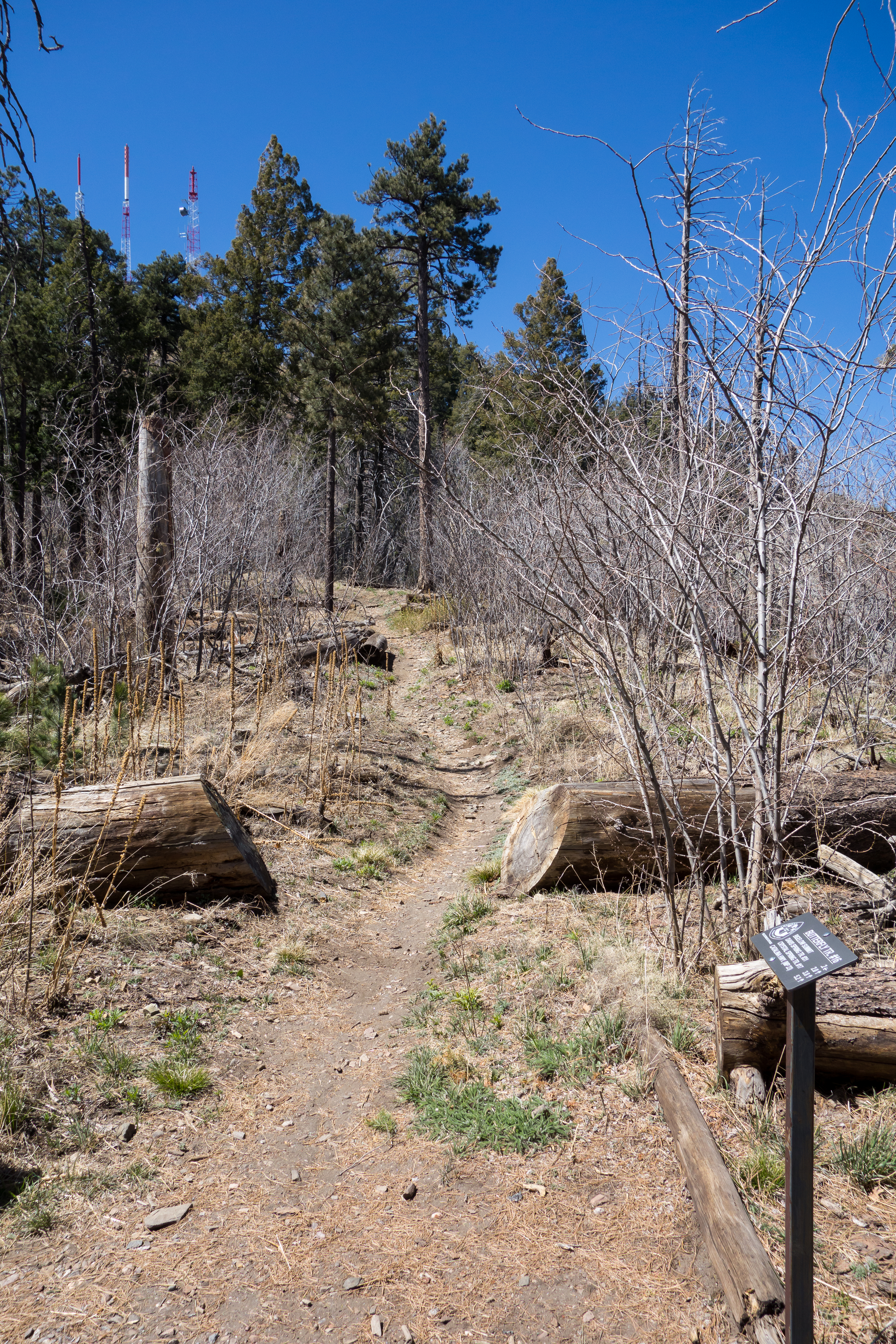
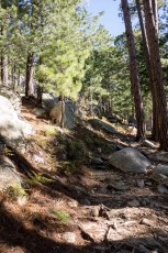
Left: The Junction of the Kellogg Mountain, Butterfly and Mount Bigelow Trails looking up the trail to Mount Bigelow. April 2014
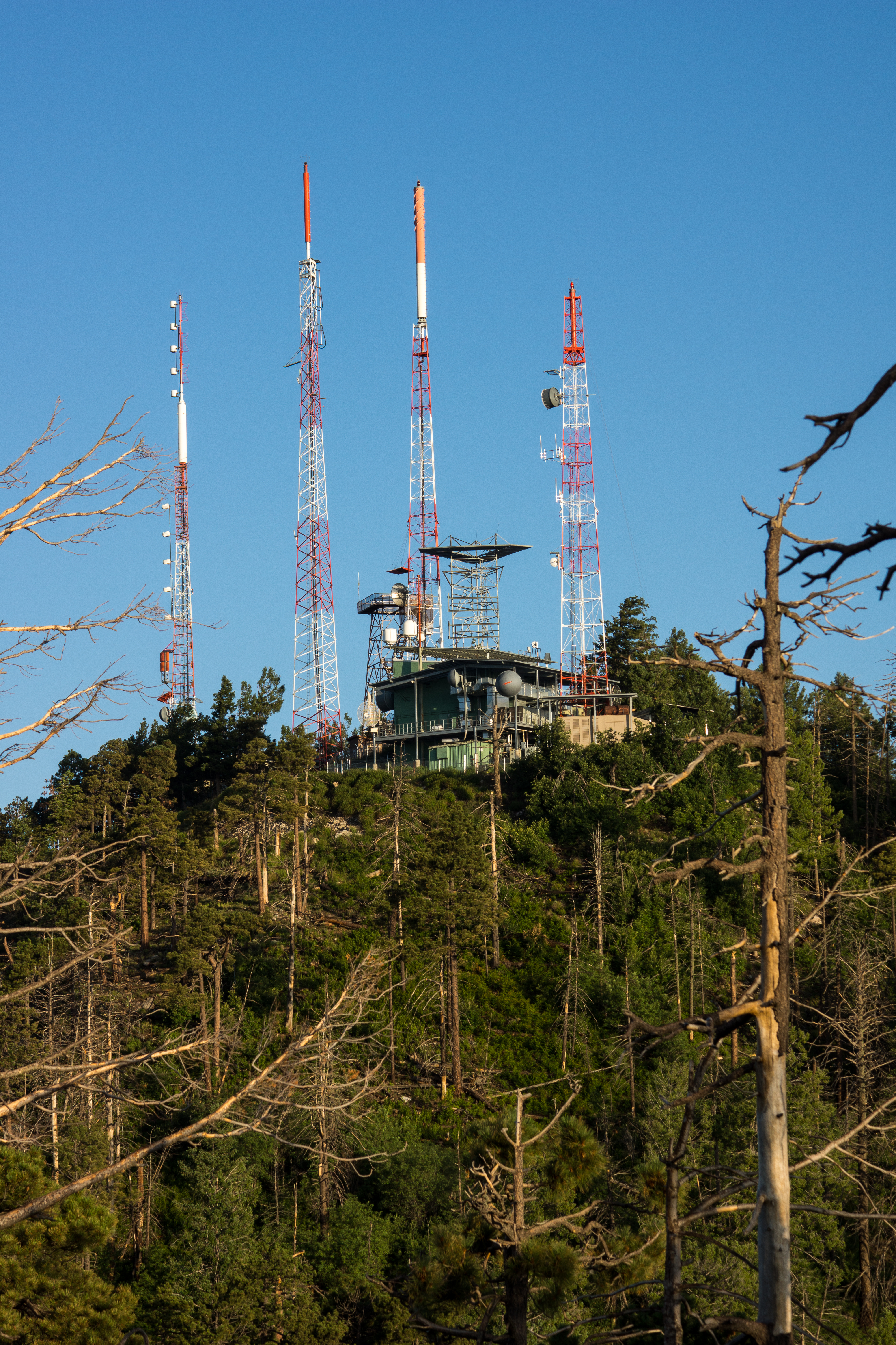
Right: Buildings and Towers on Mount Bigelow. July 2013
Right: Buildings and Towers on Mount Bigelow. July 2013
Overview
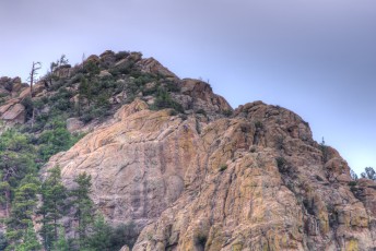
Mount Bigelow – covered in towers and encircled by a dirt road – is not the most attractive destination in the Santa Catalina Mountains… But ignore the buildings and this short hike offers a nice short climb, trees, flowers (in the right season), connections to several other trails and several nice views!
Hike Stats
- Out and Back
- 1.9 miles
- 600' Elevation Gain
- 600' Elevation Loss
- Highest Elevation: 8,535'
- Lowest Elevation: 7,950'
Location
- This hike is located in the Santa Catalina Mountains near Tucson, Arizona.
- Start/End: Bigelow Trailhead (Upper Highway Hikes)
Details
- Fee: No
- Dogs: Yes
- Bikes: Yes
Drive
- 33.4 miles from Speedway and Campbell
- 1 Hour and 5 Minutes from Speedway and Campbell
- Vehicle Access: Paved Roads/Passenger Car (Mountain Road - be careful of weather conditions!)
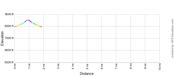
Bigelow Trail Elevation Profile
Driving Directions
Suggested driving directions from the Speedway and Campbell intersection in Tucson to the Bigelow Trailhead:
- Drive East on Speedway (5.0 miles)
- Left on Wilmot and continue on Tanque Verde (4.3 miles)
- Left on Catalina Highway (24 miles)
- Signs will help you locate the trailhead on the up-mountain side of the highway.
Google Maps Directions from the Speedway and Campbell intersection in Tucson to Bigelow Trailhead.
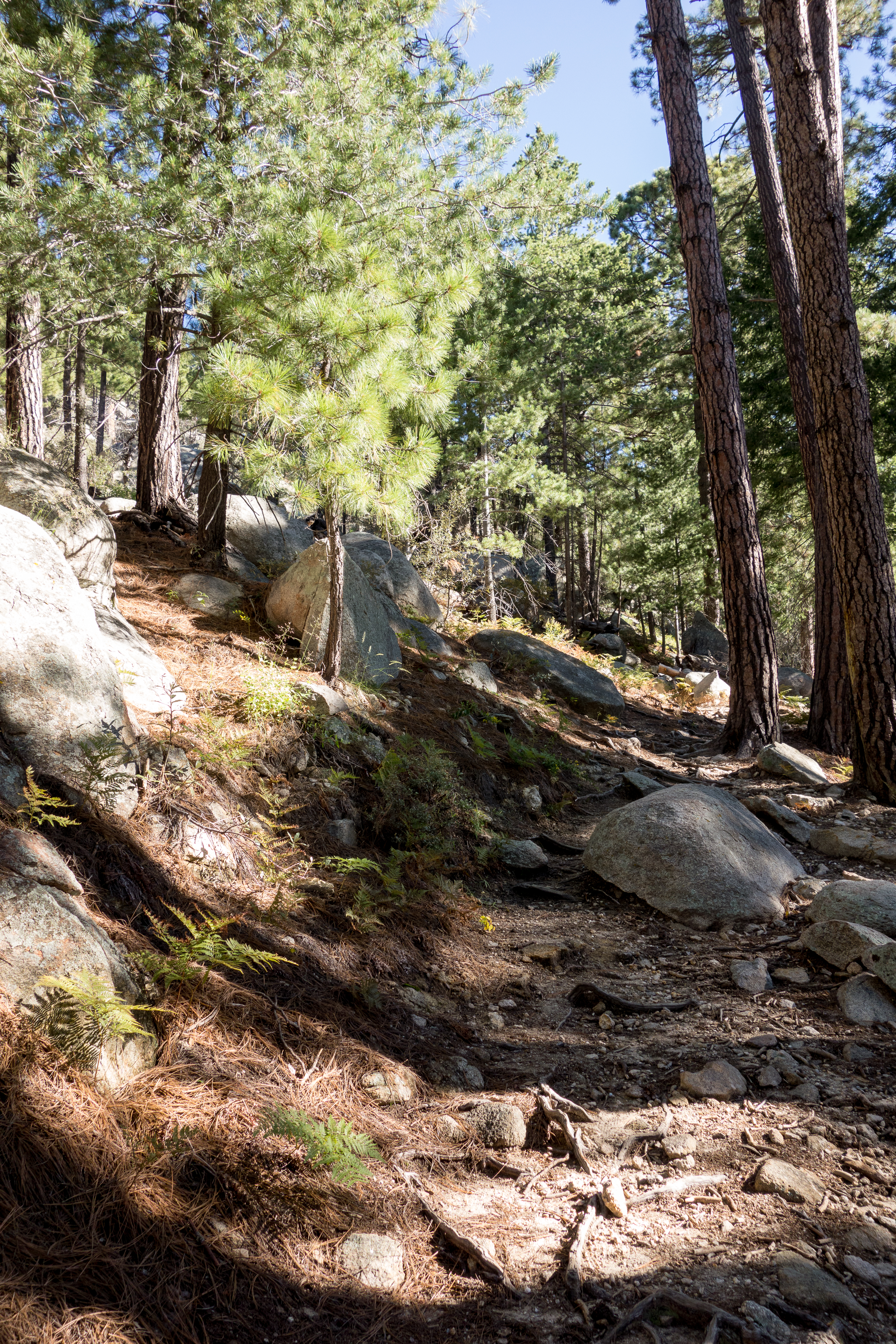
Left: he Bigelow Trail winding thru the trees. September 2014
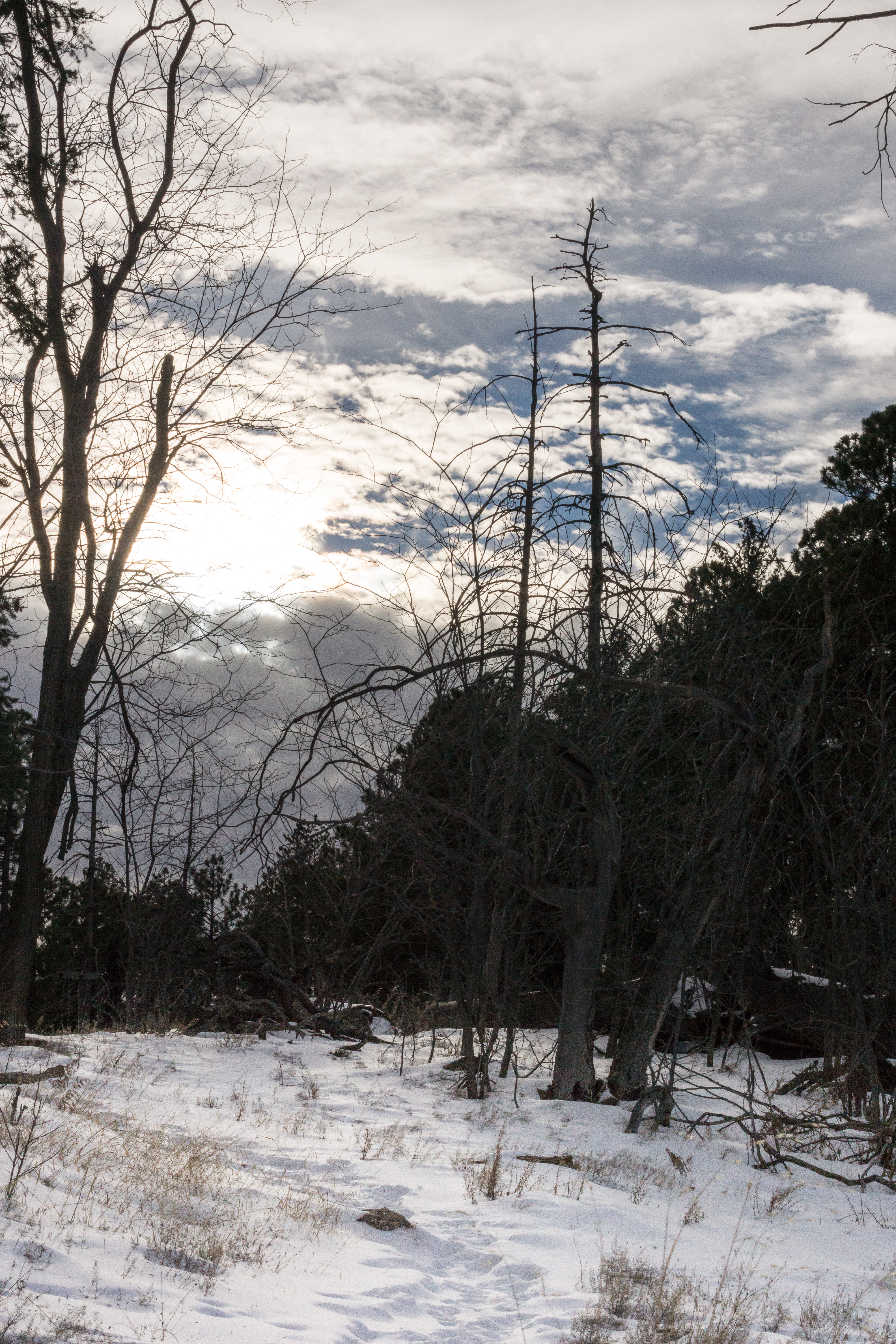
Right: Snow at the junction of the Kellogg Mountain, Butterfly and Bigelow Trails. December 2014
Right: Snow at the junction of the Kellogg Mountain, Butterfly and Bigelow Trails. December 2014

Sunset - near Mount Bigelow. July 2013
Trail Notes
[CueListWarning/]
- 0.0 miles, 7980′: Start at the Bigelow Trailhead. [Waypoint thbg]
- The trail winds thru areas with older trees and more open areas touched by past fires as it climbs towards the ridge.
- 0.6 miles, 8300′: Signed junction of the Butterfly Trail, Kellogg Trail and the Bigelow trail [Waypoint b-bg-kl]. Continue uphill to the west to climb to Mount Bigelow on the Butterfly Trail.
- 0.7 miles, 8350′: Look for an unsigned junction and make a sharp right.
- Pass a small side trail to an old campsite as the trail turns – reach the Bigelow Road at 0.85 miles, 8500′ [Waypoint b-bgr/]
- Take a left on the Bigelow Road – pass the Mount Bigelow Butterfly Trailhead [Waypoint thbgb] and keep walking down the road.
- 1.0 miles, 8470′: Across from the last building look for a trail leaving the road and heading south-east (this junction is unsigned) [Waypoint bg01].
- 1.15 miles, 8350′: Arrive back at the unsigned junction where you took a sharp right on your way up. From here return back down to the Signed junction of the Butterfly Trail, Kellogg Trail and the Bigelow trail [Waypoint b-bg-kl] (1.3 miles) and then down the Bigelow Trail to the Bigelow Trailhead (1.9 miles).
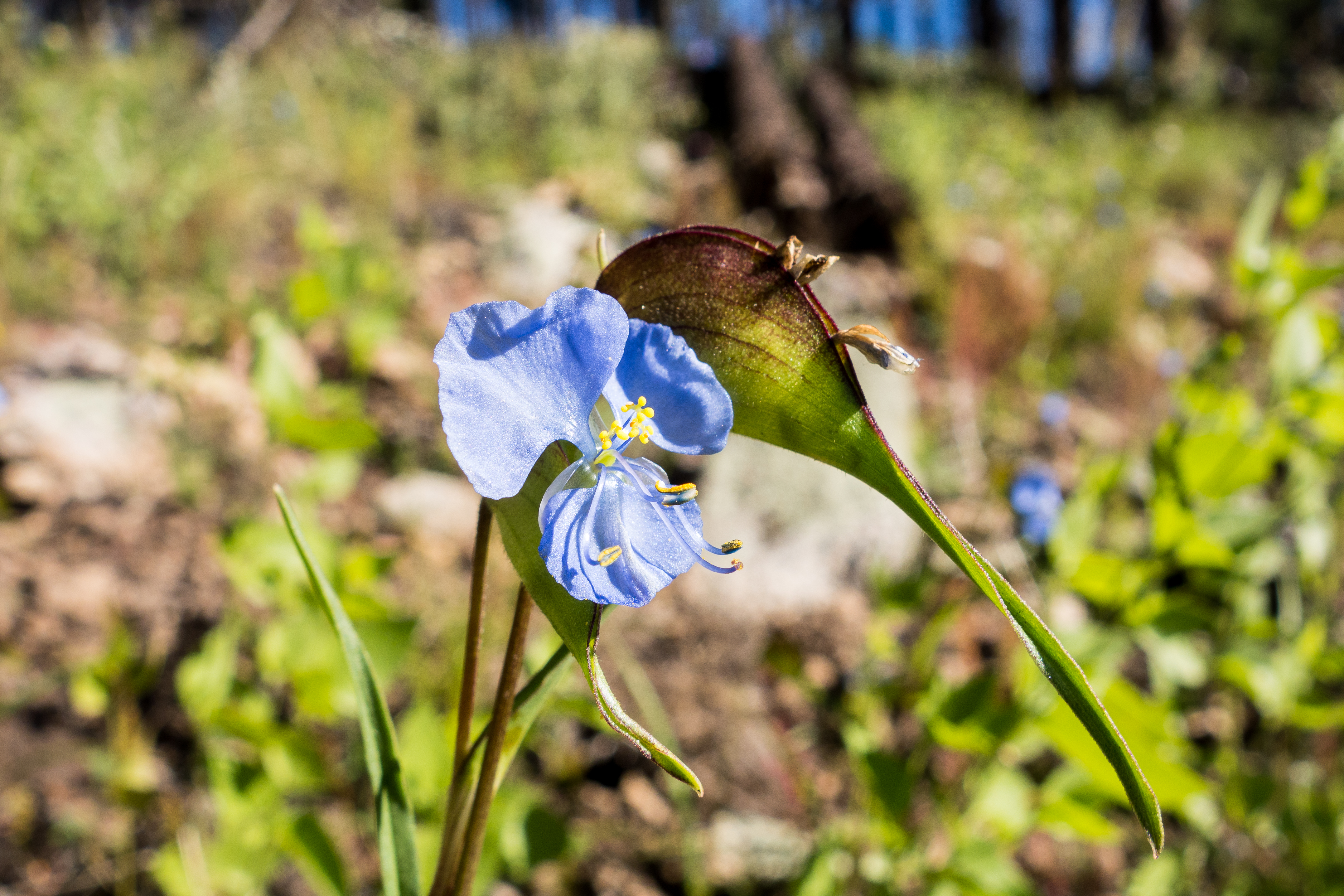
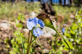
Dayflower on the Bigelow Trail. September 2014

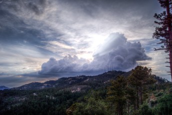
Left: Clouds behind Mount Bigelow - from Incinerator Ridge. July 2013
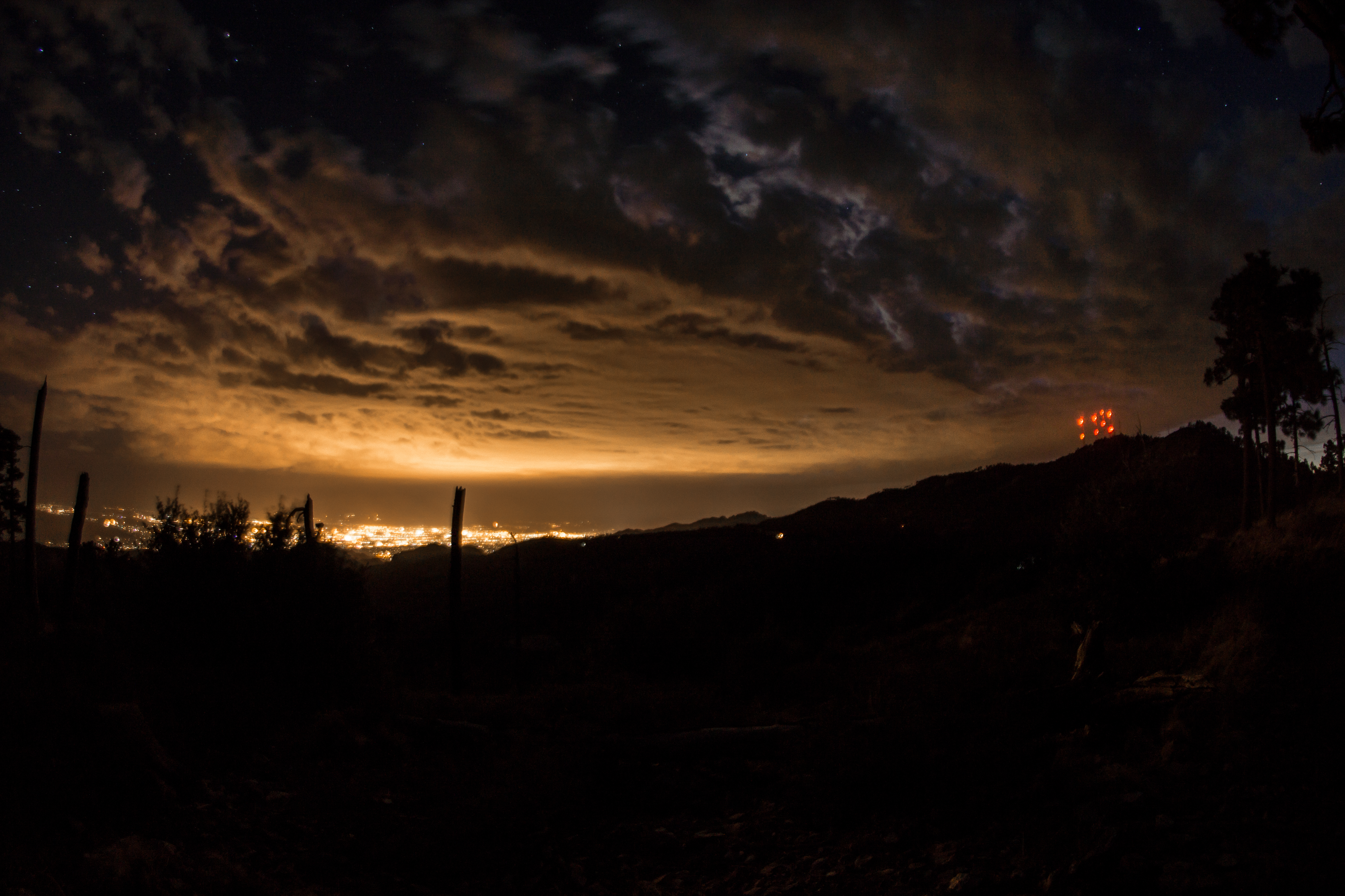
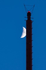
Right: Glowing red lights on Mount Bigelow - from Incinerator Ridge. July 2013
Right: Glowing red lights on Mount Bigelow - from Incinerator Ridge. July 2013
Resources
Pictures
2014 September Bigelow Trail

2013 July Incinerator Ridge, Kellogg Mountain Trail, Mount Bigelow


Update Notes
- 2017/8/15 – HikeLemmon posts added to resources
- 2017/7/30 – Srcset Image Update
- 2015/3/19 – Initial version