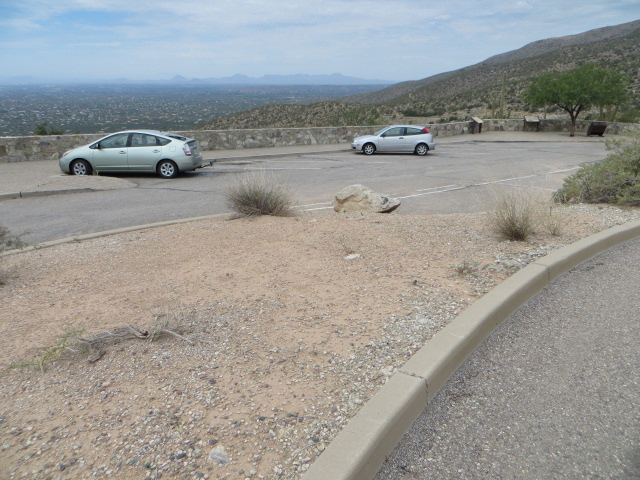
Babad Do’ag Vista and Trailhead Parking. August 2013. August 2013
Overview
Location
- Lower Highway Hikes - Santa Catalina Mountains - Southern Arizona
- Google Map Coordinates: 32.30944500 -110.72057700
- At This Trailhead: Babad Do'ag Trail
- Nearby Trailheads and Parking: Down-mountain Soldier Trail Trailhead, Up-mountain Molino Basin Parking Area
Driving Time and Distance from Tucson
- 35 Minutes from Speedway and Campbell
- 16.5 miles from Speedway and Campbell
- Miles up Highway: 2.6 miles
- Side of the Highway: Up-mountain
- Vehicle Access: Paved Roads/Passenger Car (Mountain Road - be careful of weather conditions!)
Fees and Services
- Fee: No
- Restrooms: No
- Water: No
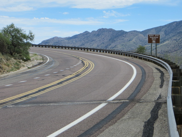
A sign on the highway for the Babad Do'ag Trail points you across the highway to the start of the trail - located just up mountain from the parking area. August 2013
Driving Directions
Suggested driving directions from the Speedway and Campbell intersection in Tucson to the Babad Do’ag Vista and Trailhead Parking:
- Drive East on Speedway (5.0 miles)
- Left on Wilmot and continue on Tanque Verde (4.3 miles)
- Left on Catalina Highway (7.1 miles)
- Signs will help you find the turn into this area - the parking here serves both a nice vista with several informational signs and the Babad Do'ag Trail. Babad Do’ag Trail starts across the highway (on the down-moountain side) just up-mountain from the parking area - the start of the trail is marked with a sign.
Google Maps Directions from the Speedway and Campbell intersection in Tucson to Babad Do’ag Vista and Trailhead Parking.
Resources
All Trailheads - Map
Update Notes
- 2019/1/27 – Added resources section, tags update
- 2017/7/28 – Img Srcset update, All Trailheads Map added