
Overview
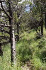
Most maps of the Santa Catalina Mountains show the Brush Corral Trail #19 plunging down the eastern slopes of the Santa Catalina Mountains, passing a junction with the Evans Mountain Trail and ending at the Brush Corral Trailhead. For several miles – until the junction with the Brush Corral Shortcut Trail – the map matches reality, the trail is rugged but easy to follow. After the junction the trail is overgrown and criss-crossed by fallen trees but it is still navigable until lower on the trail, at a ridge with great views of the terrain below, it fades away – cairns, faint paths and sections of the original track sometimes emerge from the landscape – but fire and time have caused the middle section of the trail to disappear. The journey down to the Brush Corral Trailhead is now just another obscure off-trail route.
This description covers the upper section of the Brush Corral Trail down to the point where the off-trail route begins.
Hike Stats
- Out and back
- 5.1 miles
- 1,900' Elevation Gain
- 1,900' Elevation Loss
- Highest Elevation: 7,400'
- Lowest Elevation: 6,100'
Location
- Off the Green Mountain Trail in the Santa Catalina Mountains north of Tucson, AZ.
- Start/End: Upper Green Mountain Trailhead (Mid Highway Hikes)
Details
- Fee: No
- Dogs: Yes
- Bikes: Yes
- The Brush Corral Trail no longer exists as shown on most maps! The 'middle' of the trail has disappeared back into the landscape...
Drive
- 31.1 miles from Speedway and Campbell
- 1 Hour from Speedway and Campbell
- Vehicle Access: Paved Roads/Passenger Car (Mountain Road - be careful of weather conditions!)
Upper Brush Corral Trail Elevation Profile


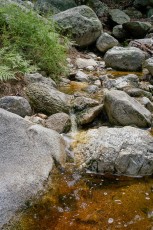
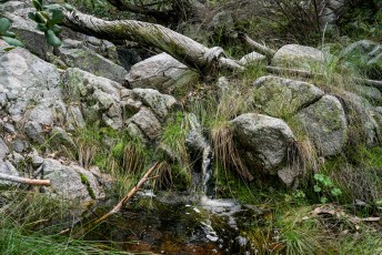
Right: Crossing a small stream on the Upper Brush Corral Trail. July 2017.
Driving Directions
Suggested driving directions from the Speedway and Campbell intersection in Tucson to the Upper Green Mountain Trailhead:
- Drive East on Speedway (5.0 miles)
- Left on Wilmot and continue on Tanque Verde (4.3 miles)
- Left on Catalina Highway (21.7 miles)
- Signs will help you find the turn into this trailhead.
Google Maps Directions from the Speedway and Campbell intersection in Tucson to Upper Green Mountain Trailhead.


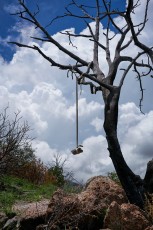
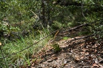
Right: The old phoneline that ran down to the Brush Corral Ranger Station in the early part of the 20th century. July 2017.
Trail Notes
[CueListWarning/]
- 0.0 miles, 7300′: Park at the Upper Green Mountain Trailhead [Waypoint thugm].
- Take the Green Mountain Trail up to a small saddle and then down the other side (careful of the social trails/routes at the saddle).
- 0.2 miles, 7300′: At an unsigned junction near a large/prominent rock formation take a right (a left will take you to San Pedro Vista) [Waypoint gm-ugmc].
- 0.3 miles, 7200′: At the signed (both old and new style signs!) junction with the Brush Corral Trail take a left onto the Upper Brush Corral Trail [Waypoint gm-bc].
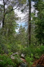
- The trail descends steeply.
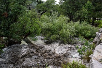
- 0.75 miles, 6650′: Cross two small streams at [Waypoint bc01] – after the crossing the trail begins to climb.
- 1.0 miles, 6800′: There is a short section of trail on the top of the ridge before the trail begins to descend again near [Waypoint bc02].
- 1.7 miles, 6100′: The trail crosses a stream [Waypoint bc03].
- 2.0 miles, 6200′: Signed junction with the Brush Corral Shortcut Trail at [Waypoint bc-bcs] – a left will keep you on the Brush Corral Trail.
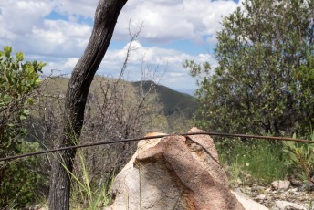
- 2.1 miles, 6200′: Watch for the old phoneline crossing the trail [Waypoint bc04]. This phoneline once ran up from Tucson (you cross the phoneline coming up from Tucson on the Palisade Trail) and down to the Brush Corral Ranger Station.
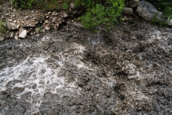
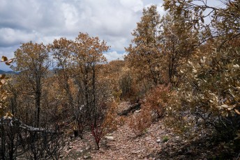
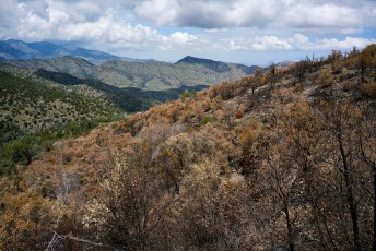
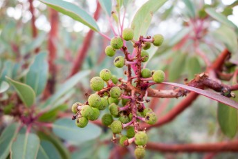
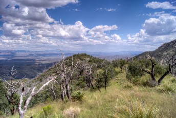
- 2.2 miles, 6200′: Enter an area burned in the 2017 Burro Fire [Waypoint bc05].
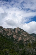
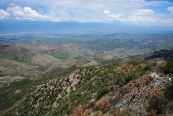
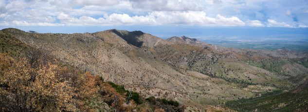
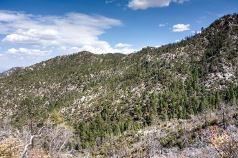
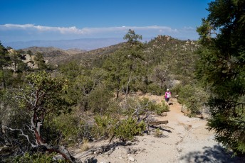
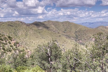
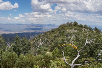
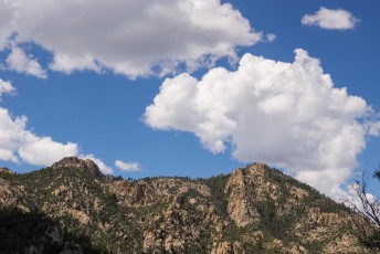
- 2.5 miles, 6200′: On the top of a ridge with great views down the trail deteriorates quickly into an off-trail route – below this point you can occasionally find cairns, trail markers and sections of the original track, but in my opinion below this point there is not a ‘trail’. Experienced and adventurous hikers might continue down off-trail (take care, this area is as remote as you can get in the Santa Catalina Mountains – don’t underestimate the ruggedness of the terrain because there was once a trail here!) – but this is the end of the trail and with great views it is a nice spot for a break before heading back up the mountain.


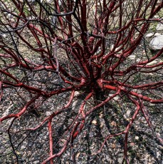
Right: Entering an area burned by the 2017 Burro Fire on the Upper Brush Corral Trail. July 2017.


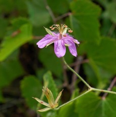
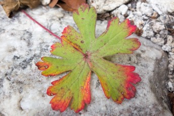
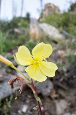
Right: Raspberry flower on the Upper Brush Corral Trail. July 2017.
Resources
- Sirena’s Wanderings – One of the few great trip reports available about this trail – for many years this post and Scott Morris’s post (below) were the only good online information on this trail!
- Diary of Scott Morris – A 2004 post on the Brush Corral Trail.
- HikeLemmon – Brush Corral – 4/23/2017 – A full hike of the trail and some historic information related to the trail
- Coronado National Forest and HikeArizona.com – these links describe the trail as if it still exists as a trail, that is – in my opinion – a mistake.
- Posts on HikeLemmon.com:


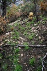
Right: New grass growing just weeks after the Burro Fire - a lower section of the Upper Brush Corral Trail burned in the 2017 Burro Fire. July 2017.

Pictures
2017 July Upper Brush Corral and Brush Corral Shortcut Loop
2015 July Brush Corral Loop
2014 July Brush Corral Loop
2014 July Brush Corral and 6828
2013 September A bit of Brush Corral

Update Notes
- 2017/8/17 – Add HikeLemmon posts to resources
- 2017/8/8 – Page Created