Overview
Starting from the Lower Green Mountain Trailhead in Bear Canyon the Green Mountain Trail #21 starts climbs over 2000′ to the San Pedro Vista. By itself the Green Mountain trail is a nice hike – but it becomes much more interesting when you consider all of the possible side trips – Green Mountain Trail, Maverick Spring Trail, Brush Corral Shortcut Trail, Upper Brush Corral Trail – and the options for longer hikes up or down the mountain via the Bug Spring Trail and/or Incinerator Ridge Trail! This trail is part of the Arizona Trail Pusch Ridge Wilderness Bypass.
Hike Stats
- Out and Back
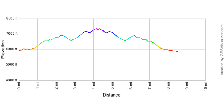
- 8.5 miles
- 2,700' Elevation Gain
- 2,700' Elevation Loss
- Highest Elevation: 7,300'
- Lowest Elevation: 5,850'
Location
- General Hitchcock Highway - Santa Catalina Mountains, north of Tucson, Arizona.
- Start/End: Lower Green Mountain Trailhead (Mid Highway Hikes)
Details
- Fee: No
- Dogs: Yes
- Bikes: Yes
- Part of the Arizona Trail Pusch Ridge Wilderness Bypass
Drive
- 25.5 miles from Speedway and Campbell
- 50 Minutes from Speedway and Campbell
- Vehicle Access: Paved Roads/Passenger Car (Mountain Road - be careful of weather conditions!)
Green Mountain Trail Elevation Profile
Driving Directions
Suggested driving directions from the Speedway and Campbell intersection in Tucson to the Lower Green Mountain Trailhead:
- Drive East on Speedway (5.0 miles)
- Left on Wilmot and continue on Tanque Verde (4.3 miles)
- Left on Catalina Highway (16.1 miles)
- Signs will help you find the turn into this trailhead - it is located across from the Chihuahua Pine Picnic Area (up-mountain from the Middle Bear Picnic Area and down-mountain from the General Hitchcock Campground).
Google Maps Directions from the Speedway and Campbell intersection in Tucson to Lower Green Mountain Trailhead.

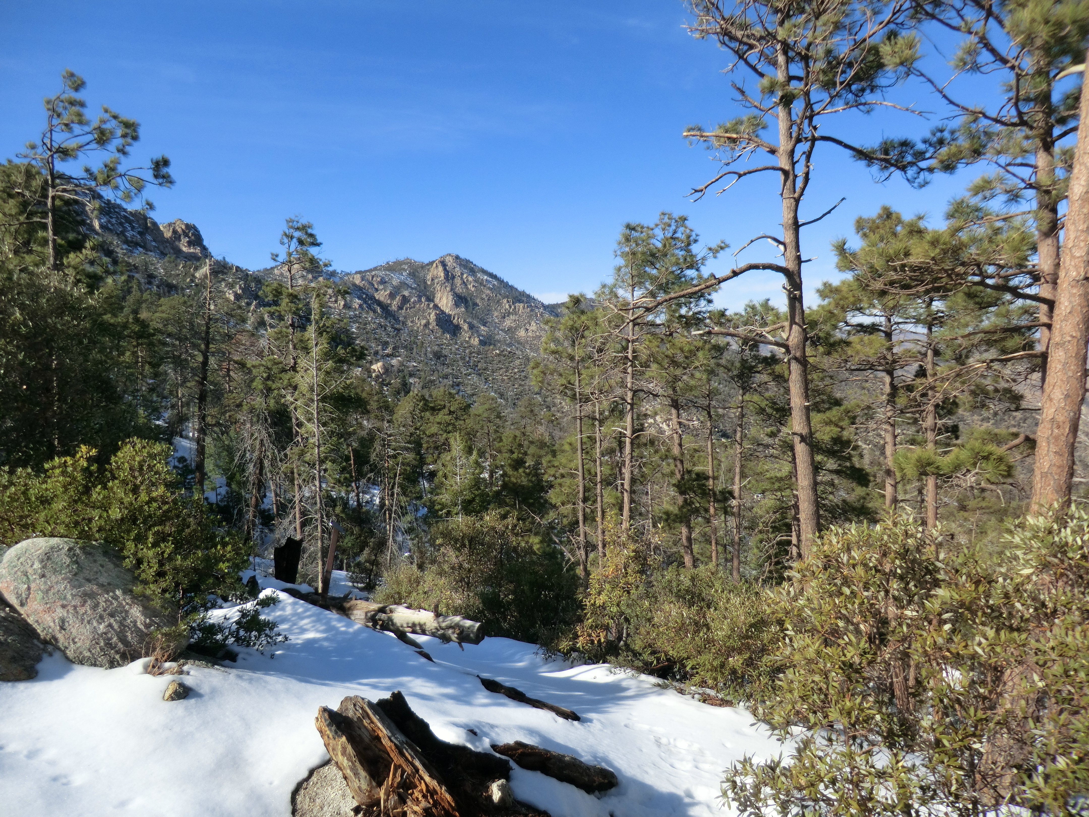
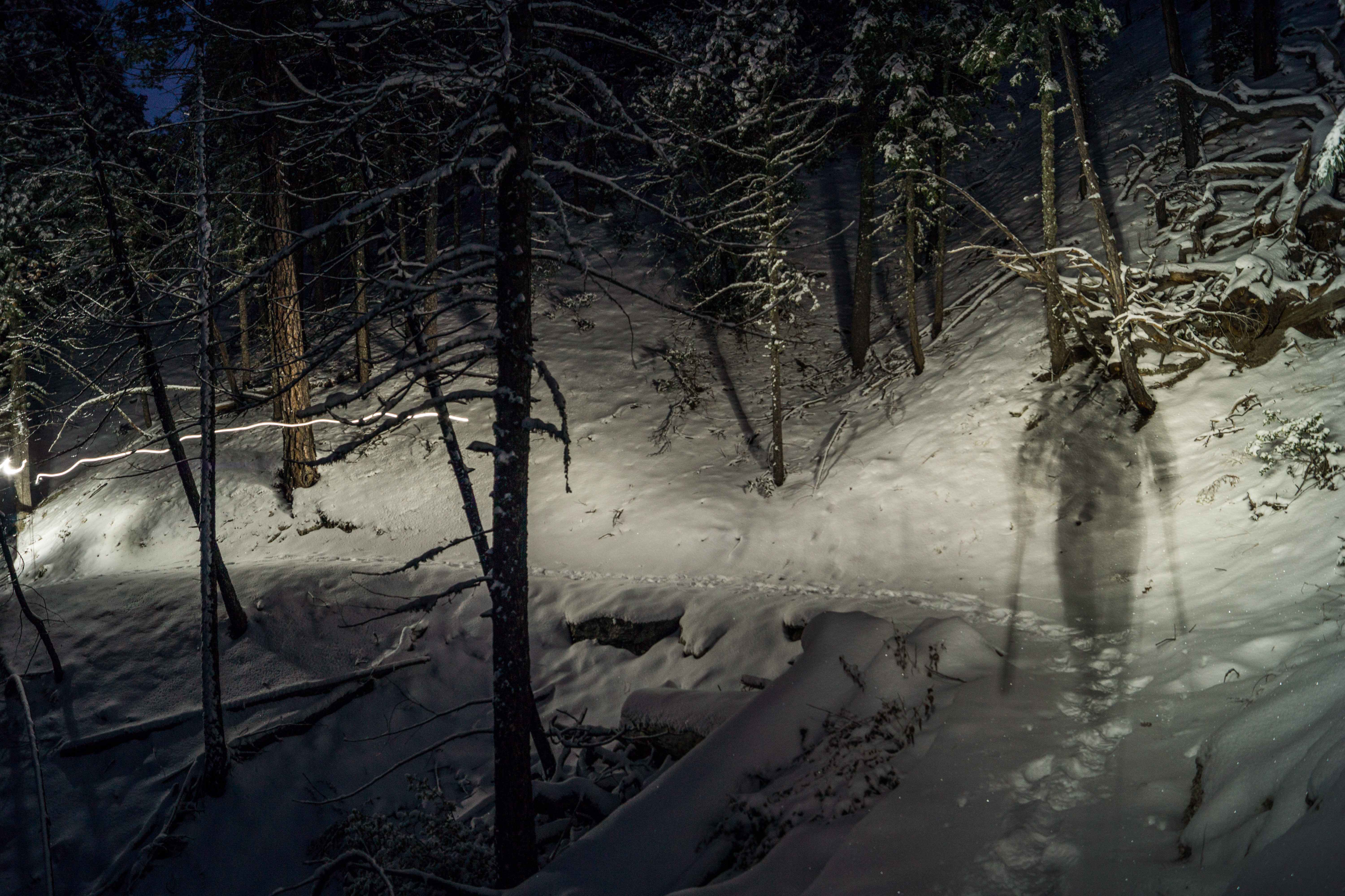
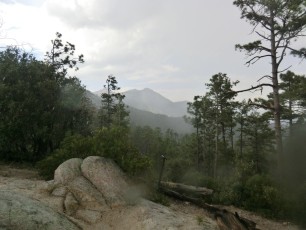
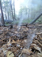
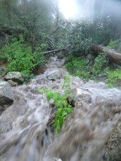
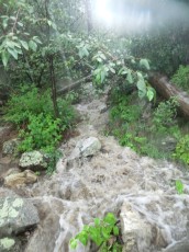
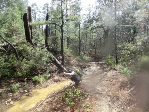
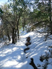
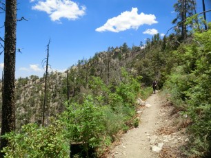
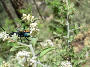
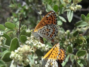
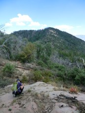
Right: A summer storm on the Green Mountain Trail. September 2012.
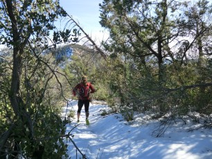
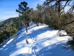
Trail Notes
[CueListWarning]
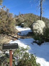
- 0.0 miles, 5900′: Start at the Lower Green Mountain Trailhead – this is the lower end of the Green Mountain Trail and the upper end of the Bug Spring Trail [Waypoint LGM TH]. This is a fairly small parking area and there is no fee to park here – but if the parking area is full note that all of the nearby picnic areas in Bear Canyon are fee areas… The trail starts at a large trailhead sign/map and stays near the highway for the first 0.25 miles.
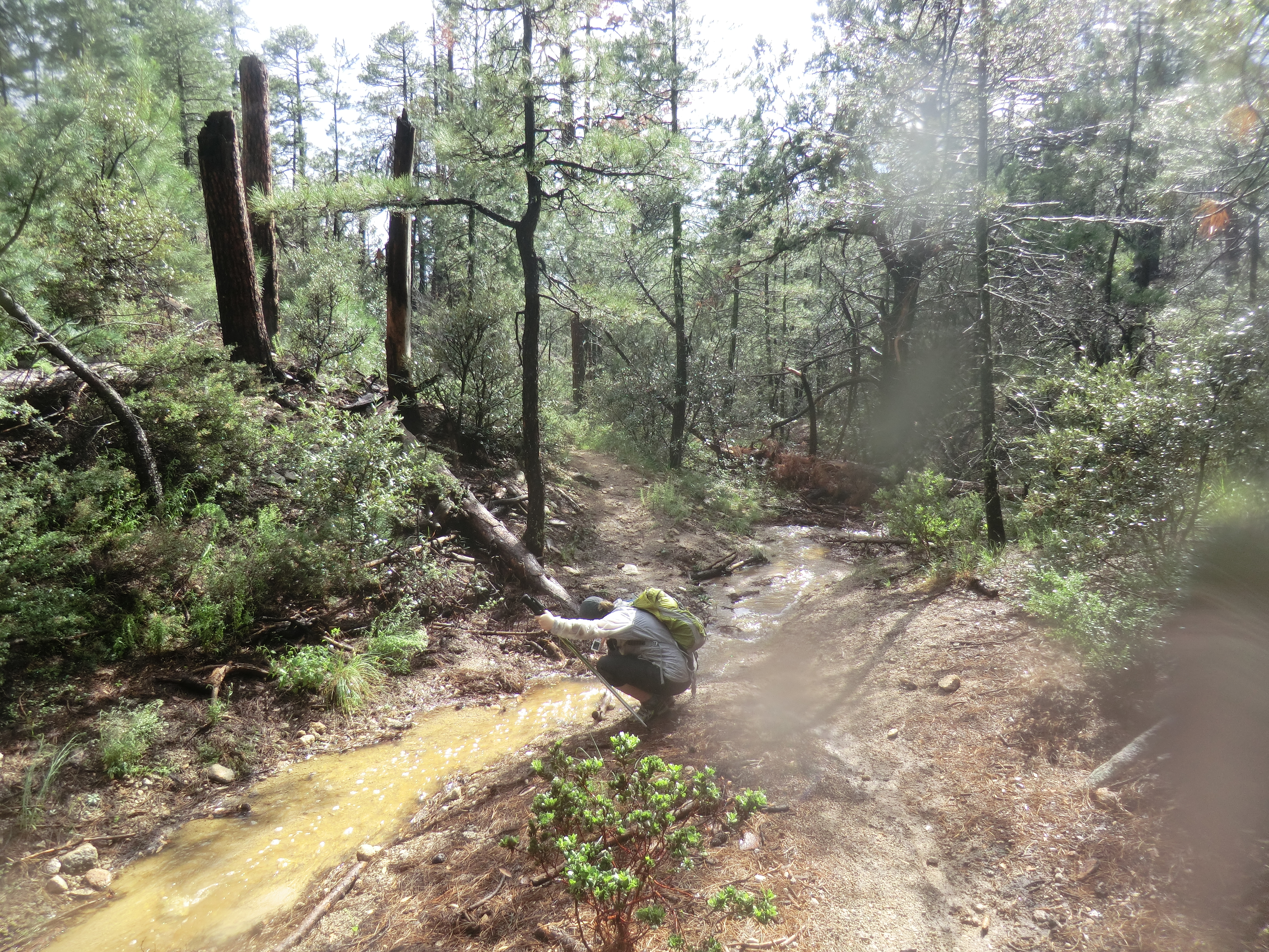
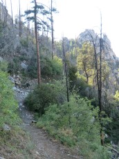
- 0.5 miles, 6000′: Near an old campsite a metal sign helps you either stay on the Green Mountain Trail or head into the General Hitchcock Campground [Waypoint J GM GHCG]. From here the trail rambles along Bear Canyon – at about 0.9 miles the trail begins to climb towards Bear Saddle.
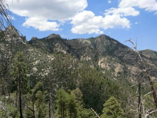
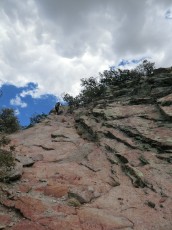
- 2.3 miles, 6900′: Bear Saddle has great views and is a lovely spot for a break. There are two metal trail signs here – one points to Guthrie Mountain and the other gives mileages to various junctions/destinations along the Green Mountain Trail [Waypoint J GM GuM]. From the saddle the trail descends.
- 2.4 miles, 6850′: Stay left at a signed junction with the Maverick Spring Trail [Waypoint J GM MS]
- 2.8 miles, 6600′: Stay left at a signed junction with the Brush Corral Shortcut Trail [Waypoint J GM BCS]. From here the trail begins to climb again.
- 3.9 miles, 7150′: Signed junction – marked with both a ‘modern’ metal sign and a beautiful old sign – with the Upper Brush Corral Trail [Waypoint J GM BC].
- 4.0 miles, 7250′: Unsigned junction past an obvious social trail to the right out to large rock formation. At the junction the trail to the left/uphill takes you up to a small saddle and down to the Upper Green Mountain Trailhead – continue straight to reach the San Pedro Vista. [Waypoint J GM UGMTH]
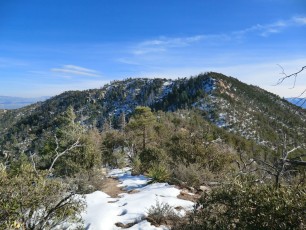
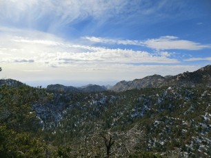
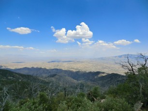
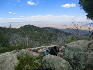
- 4.2 miles, 7300′: San Pedro Vista [Waypoint SPV], the upper end of the Green Mountain Trail and the lower end of the Incinerator Ridge Trail. If you are parked at the Lower Green Mountain Trailhead re-trace your steps back down the trail.
One of the things I appreciate about the Green Mountain Trail is the number of different destinations or side trips that it offers:
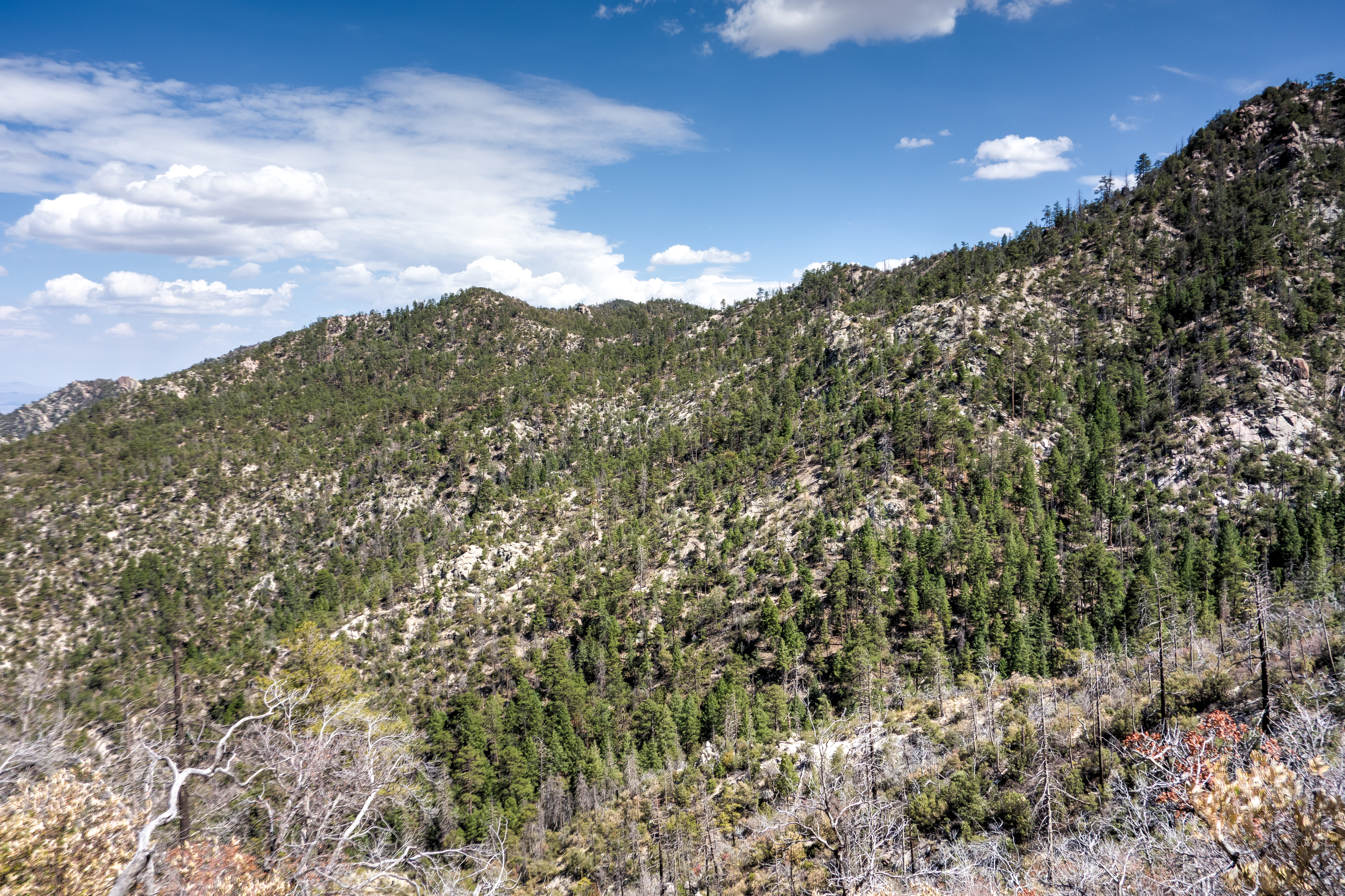
- Guthrie Mountain: From Bear Saddle it is a 1.8 miles round-trip to the top of Guthrie Mountain – burned in the 2017 Burro Fire the summit no longer offers any shade but has great views of Burro Creek, the Redington Pass area and down into the San Pedro River Valley.
- Maverick Spring Trail: From the signed junction it is a 0.8 mile round-trip on the Maverick Spring Trail to the spring where there is sometimes water in an old tank or in the canyon below – the impact of the 2002 Bullock Fire can still be seen here. This is far from the most spectacular destination, but the are some nice details and it is a fairly short trip off the Green Mountain Trail.
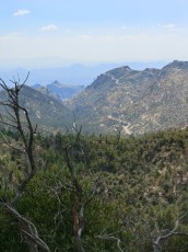
- Brush Corral Shortcut Trail down, Upper Brush Corral Trail back to the Green Mountain Trail: Take the Brush Corral Shortcut Trail down and at a signed junction take the Upper Brush Corral Trail back up to the Green Mountain Trail – these trails have short stretches in canyons still shaded by trees missed by the Bullock Fire and interesting views into the relatively rarely used east side of the Santa Catalina Mountains. The Brush Corral Trails loose and gain a significant amount of elevation – which, depending on the day, might be a great reason to do – or avoid doing- this combination!
Resources
- HikeArizona.com
- Coronado National Forest
- AZDean – TucsonHikes
- Tucson Trail Runners – Green Bug Run
- Arizona Highways
- Sonoran Desert Mountain Bicyclists
- [GuideYellowBook/]
- Posts on HikeLemmon.com:
- A Night on Guthrie Mountain – 5/9 and 5/10/2019
- Brush Corral, Brush Corral Shortcut, Green Mountain Trail Loop – 5/20/2018
- Brush Corral, Burro Fire Burn – 7/30/2017
- Brush Corral – 4/23/2017
- A Short Hike Above Bear Canyon, Points 6702, 7135 and 6810 – 8/23/2015
- Brush Corral Shortcut Loop – 7/15/2015
- Green Mountain and Point 6828 – 2014/7/13
- Ridge East of Guthrie Mountain to Point 6925 – 2014/3/5
- Babad Do’ag Trail and Guthrie Mountain – 2014/2/27
- Green Mountain Trail – 2013/11/28
Pictures
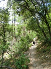
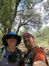
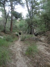
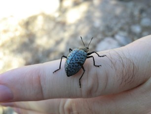
2012 Sept Lower Green Mountain Trail to Near Maverick Spring
2012 December Guthrie Mountain

2012 June Guthrie Mountain
Update Notes
- 2017/8/17 – Add HikeLemmon posts to resources
- 2017/8/10 – Update links for the Upper Brush Corral Trail
- 2017/8/5 – Img Srcset update, add links into hike description, edit overview, add a section on the side-trips from the Green Mountain Trail, add Arizona Highways and SDMB hike/bike description links
- 2014/9/24 – Added new pictures
- 2014/7/18 – Format updated
- 2014/3/23 – Updated GPX and added waypoint names to page
- 2014/3/3 – Updated to WordPress
- 2013/11/30 – Updated GPX file with junction waypoints, added Hiking Notes
- 2013/11/27 – Created initial page