Short with a nice bit of elevation, not very heavily used (for much of the loop anyway) and easily extended a few more miles to the Maverick Spring Trail or Guthrie Mountain. 4.5 miles, +/- 1500′ elevation gain/loss.
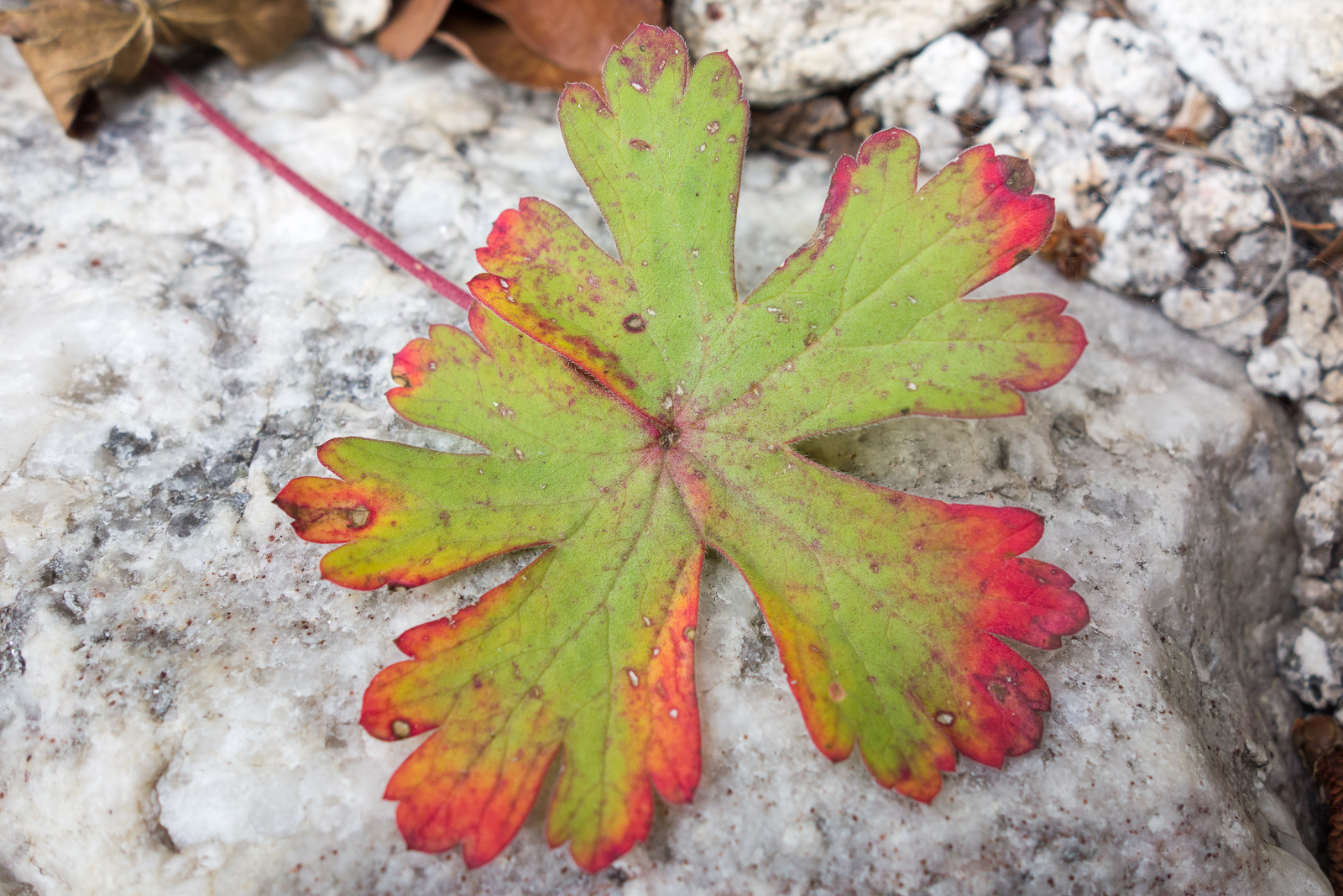
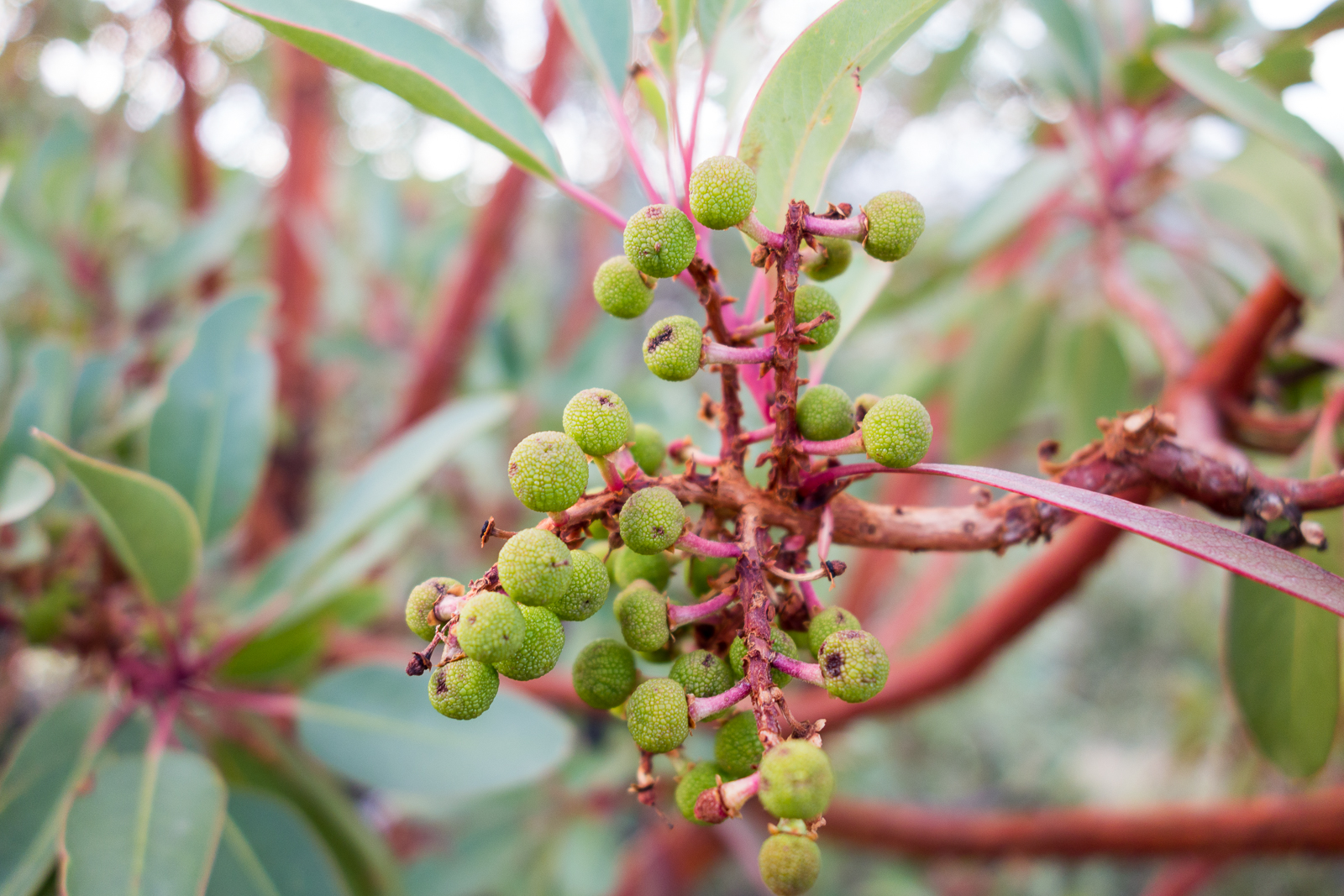
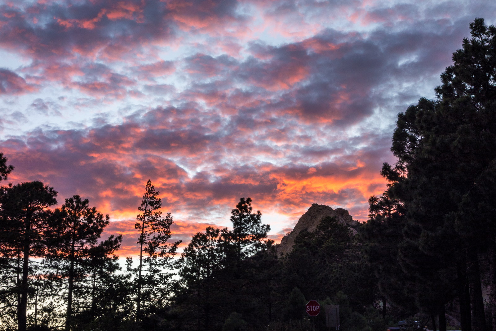
Fallen leaf in a drainage on the Brush Corral Trail. July 2015.Madrone berries along the Green Mountain Trail. July 2015.Sunset over Mount Bigelow – from the Green Mountain Trailhead. July 2015.
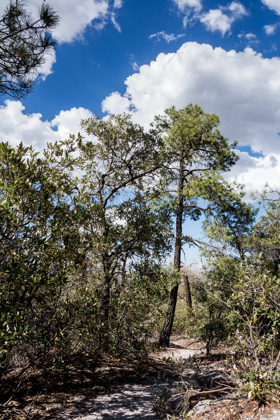
Brush Corral Trail – near the junction with the Brush Corral Shortcut Trail. July 2014.
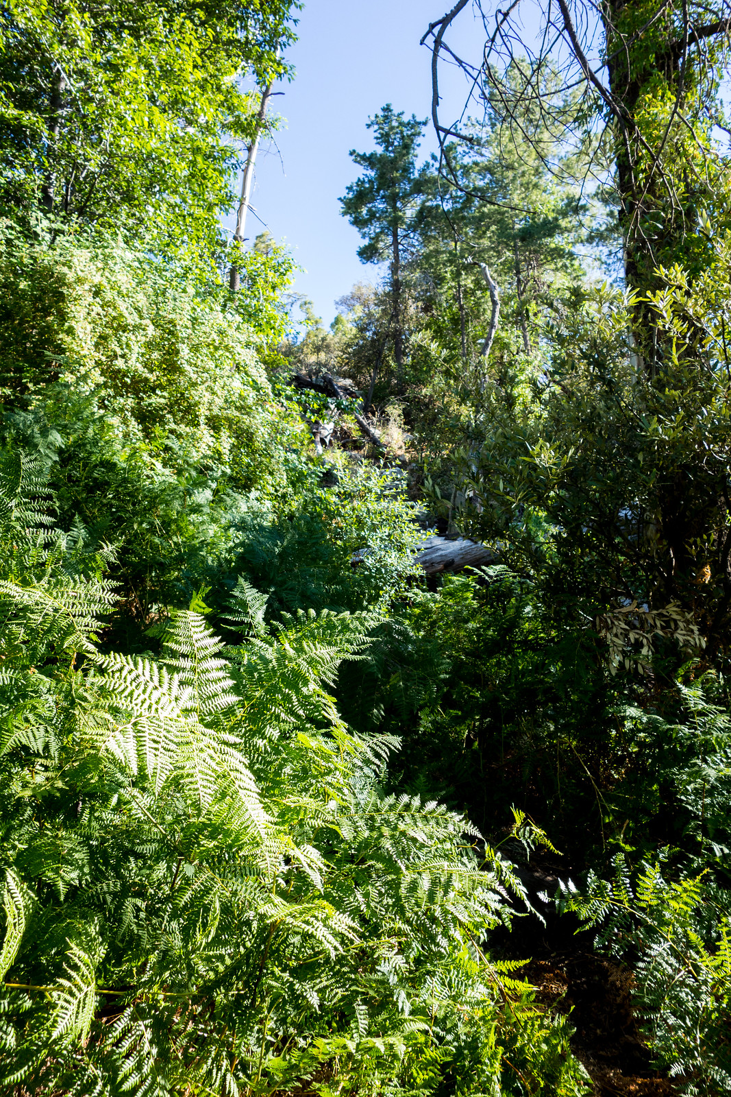
At approximately 4.5 miles and 1500′ of elevation gain and loss from the Upper Green Mountain Trailhead the Green Mountain – Brush Corral – Brush Corral Shortcut loop is both beautiful (especially on the Brush Corral side of the loop – beautiful green ferns and trees right now) and quite a good workout – maybe if you are training for the Grand Canyon a loop at the top of the mountain to start the day, a nice break in Summerhaven and then this loop on the way down the mountain for a bit more vertical…
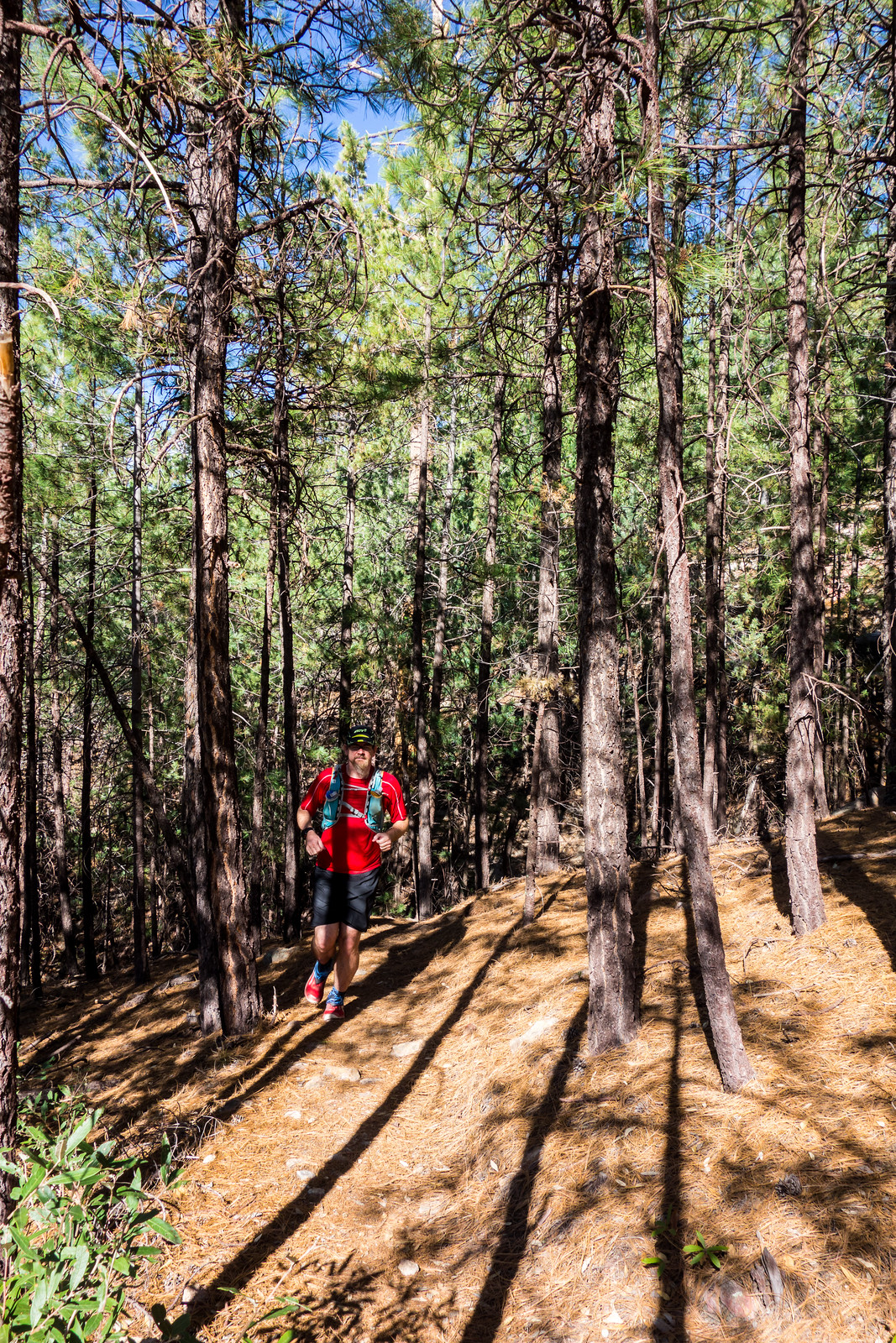
Running up the Maverick Spring Trail – sun and shade in the pines. July 2014.
If you want just a bit longer hike the Maverick Spring Trail is an obvious out-and-back extension to this loop that adds approximately 1.6 miles, 500′ of elevation gain and loss and – this time of year – a beautifully green destination.
Rocky Point along the Ridge East of Guthrie. March 2014.
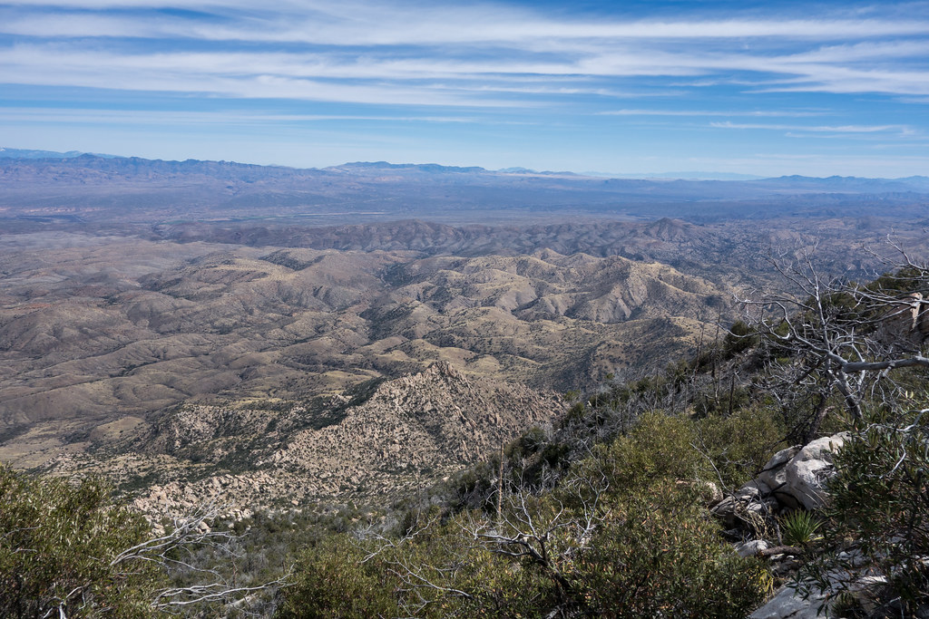
Upper Green Mountain Trailhead, Green Mountain Trail, Guthrie Mountain Trail – I have been on the Guthrie Mountain Trail a number of times but today I made time for something new – nearly to the top of Guthrie I take a faint old trail and follow cairns along the ridge east of the Guthrie Mountain – this trail is marked as a route on the ‘SAHC’ map but that seems very optimistic at this point…
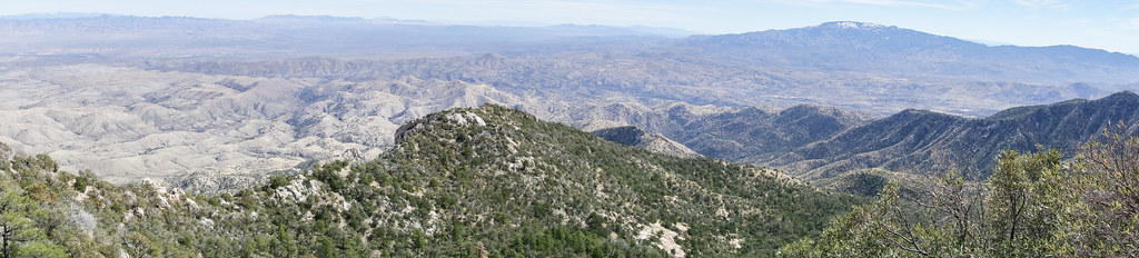
I skirt Point 7162 (I had been there last March and tag it on the way back) – the cairns disappear – eventually I reach a small rock formation that seems to be the high point of the ridge – this is my original ‘starred’ destination from the ‘SAHC’ map – but after battling thru the brush along the ridge it seems impossible to turn around without going out to Point 6925 –
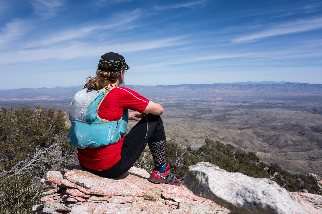
The ridge out to Point 6925 is a bit of a thrash but the views are interesting and worth it – not sure how many times I need to do this hike – but it was certainly fun!