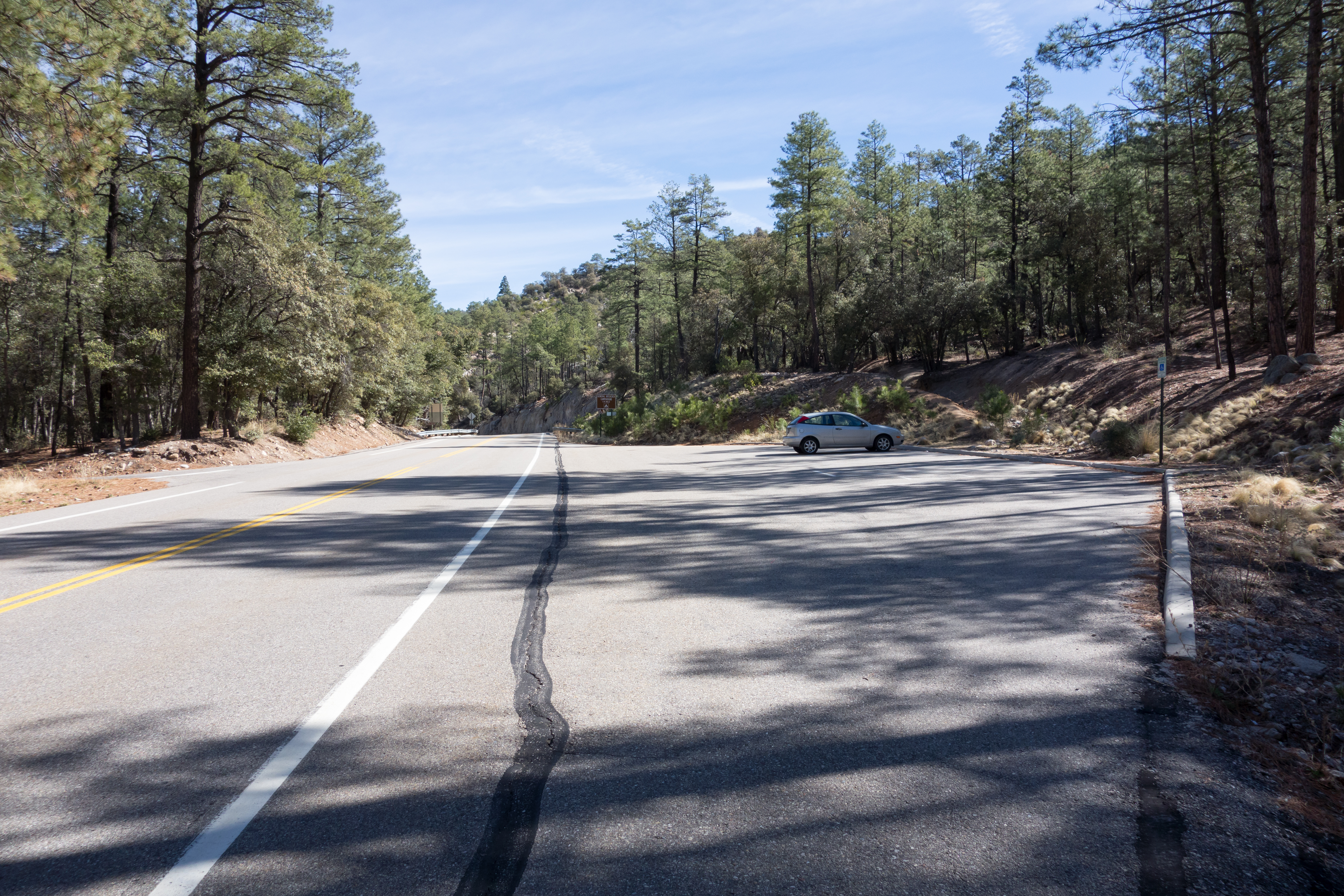
Left: Lower Green Mountain Trailhead and Parking. March 2014.
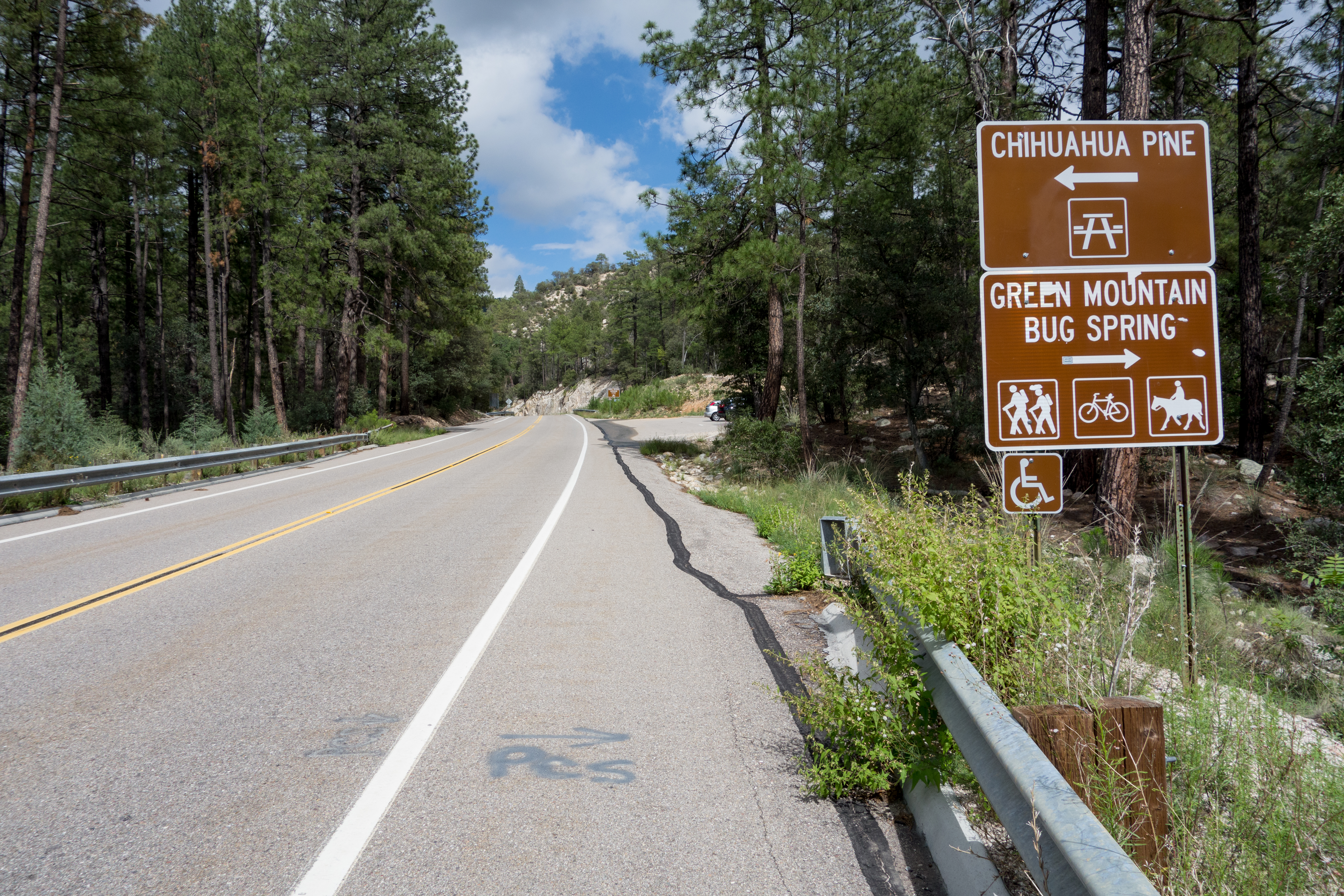
Right: Highway sign for the Lower Green Mountain Trailhead (the Bug Spring and Green Mountain Trails leave from this trailhead). September 2014.
Right: Highway sign for the Lower Green Mountain Trailhead (the Bug Spring and Green Mountain Trails leave from this trailhead). September 2014.
Overview
Location
- Mid Highway Hikes - Santa Catalina Mountains - Southern Arizona
- Google Map Coordinates: 32.37431600 -110.69031900
- At This Trailhead: Bug Spring Trail, Green Mountain Trail, Arizona Trail Pusch Ridge Wilderness Bypass
- Nearby Trailheads and Parking: Down-mountain Bug Spring Trailhead, Up-mountain Lizard Rock Parking Pullout
Driving Time and Distance from Tucson
- 50 Minutes from Speedway and Campbell
- 25.5 miles from Speedway and Campbell
- Miles up Highway: 11.6 miles
- Side of the Highway: Up-mountain
- Vehicle Access: Paved Roads/Passenger Car (Mountain Road - be careful of weather conditions!)
Fees and Services
- Fee: No
- Restrooms: No
- Water: No
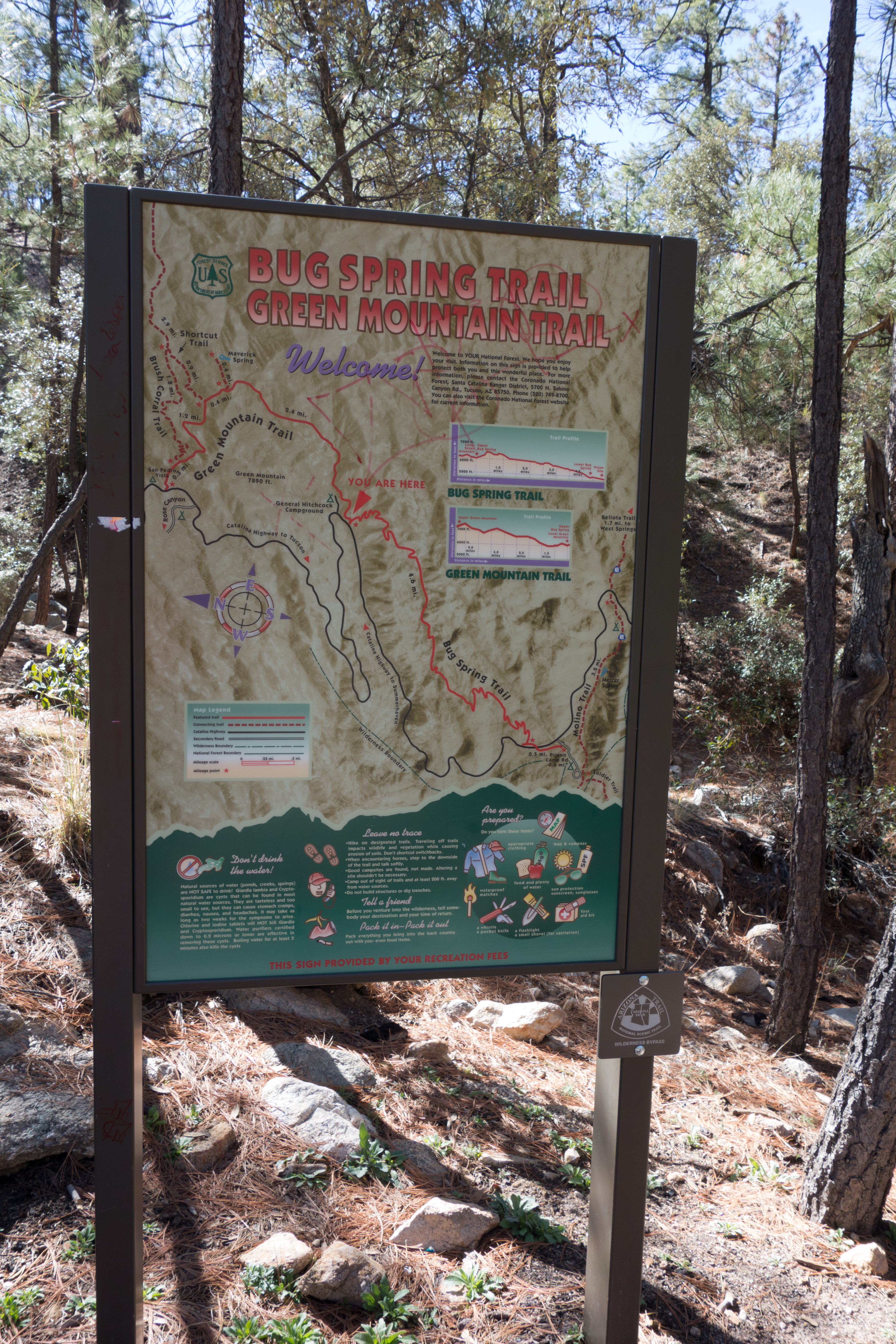
Trail map at the Lower Green Mountain Trailhead. March 2014.
Driving Directions
Suggested driving directions from the Speedway and Campbell intersection in Tucson to the Lower Green Mountain Trailhead:
- Drive East on Speedway (5.0 miles)
- Left on Wilmot and continue on Tanque Verde (4.3 miles)
- Left on Catalina Highway (16.1 miles)
- Signs will help you find the turn into this trailhead - it is located across from the Chihuahua Pine Picnic Area (up-mountain from the Middle Bear Picnic Area and down-mountain from the General Hitchcock Campground).
Google Maps Directions from the Speedway and Campbell intersection in Tucson to Lower Green Mountain Trailhead.
Resources
All Trailheads - Map
Update Notes
- 2019/1/26 – Add related posts, tags update
- 2017/8/13 – Img Srcset update, All Trailheads Map, picture caption typo fix