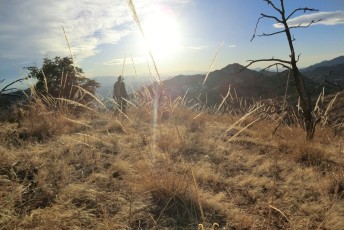
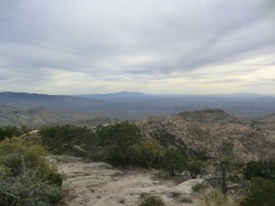
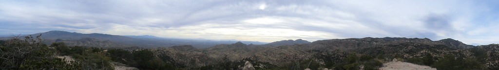
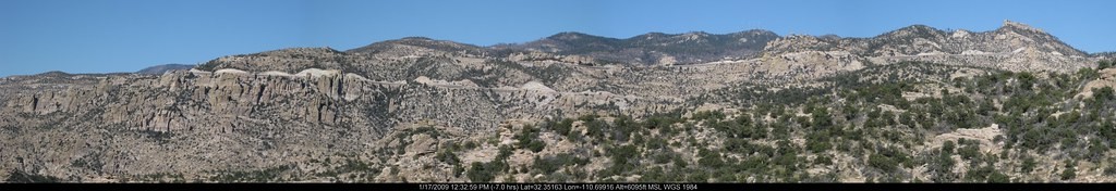
Overview
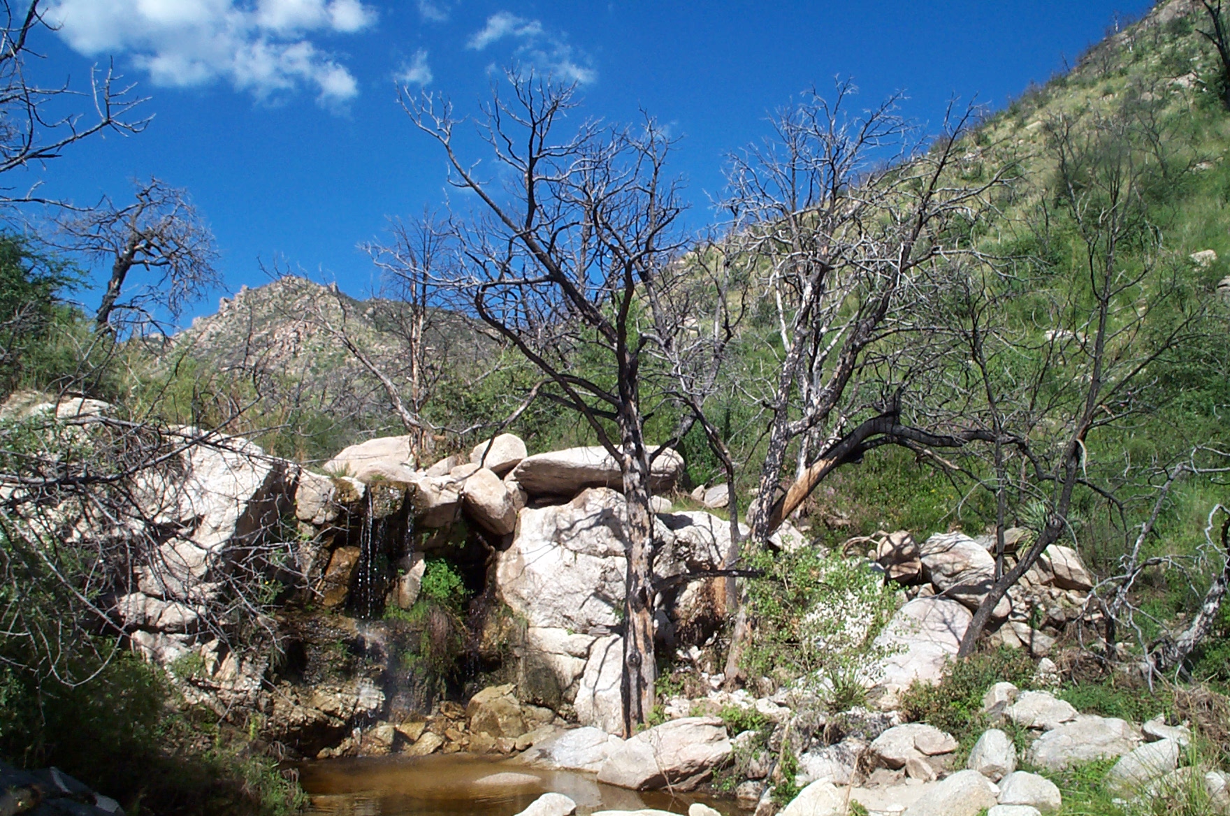
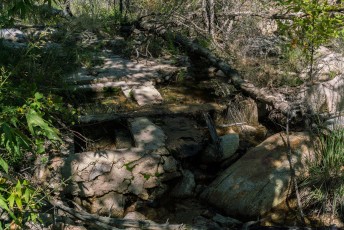
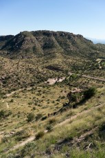
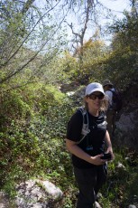
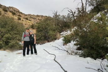
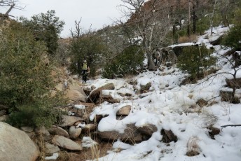
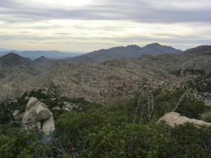
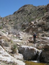
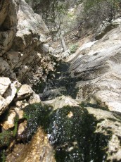
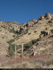
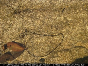
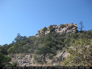
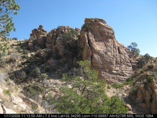
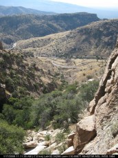
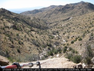
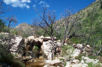
The route up the canyon to Bug Spring largely follows pipes that used to carry water down to the Prison Camp area – in places the route is fading and either difficult to find, or too grown over to be worth finding… But if you are willing to wander and explore this is a great area – the canyon is lovely, the area is lightly used and you will probably find water somewhere in the canyon!
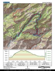
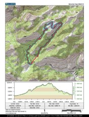
Hike Stats
- Out and Back
- 2.1 miles
- 450' Elevation Gain
- 450' Elevation Loss
- Highest Elevation: 5,200'
- Lowest Elevation: 4,850'
Location
- This hike is located in the Santa Catalina Mountains near Tucson, Arizona.
- Start/End: Gordon Hirabayashi Recreation Site (Lower Highway Hikes)
Details
- Fee: No
- Dogs: Yes
- Bikes: Yes
- As far as I know this trail is no longer maintained and is best considered an off-trail adventure. [OffTrailWarning].
Drive
- 21.3 miles from Speedway and Campbell
- 45 Minutes from Speedway and Campbell
- Vehicle Access: Most of the drive is Paved Roads/Passenger Car (Mountain Road - be careful of weather conditions!) - the drive to the end of the road parking area is on a dirt road that is generally in good condition and passenger car friendly.
Bug Spring Elevation Profile

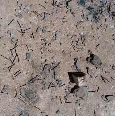
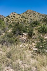
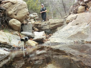
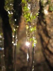
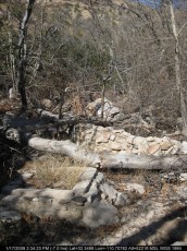
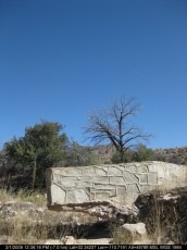
Right: Old pipes - these pipes used to carry water from Bug Spring. September 2016.
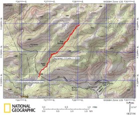
Driving Directions
Suggested driving directions from the Speedway and Campbell intersection in Tucson to the Gordon Hirabayashi Recreation Site:
- Drive East on Speedway (5.0 miles)
- Left on Wilmot and continue on Tanque Verde (4.3 miles)
- Left on Catalina Highway (11.8 miles)
- Signs mark the turn into the Gordon Hirabayashi Recreation Site on the down-mountain side of the Highway.
- If the gate is closed: park in the paved upper parking or one of the dirt pullouts and walk to the parking area at the end of the dirt road (this will add to the total mileage of your hike). If the gate is open: drive the 0.3 miles to the parking area at the end of the dirt road. Restrooms are located just before the parking circle at the end of the road (the restrooms may be closed seasonally) – no water is available.
Google Maps Directions from the Speedway and Campbell intersection in Tucson to Gordon Hirabayashi Recreation Site.


Trail Notes
Searching for information on this area is complicated by the Bug Spring Trail – which, while close by and a great trail, does not actually take you to Bug Spring!
[CueListWarning]
- 0.0 Miles, 4850′: Park in the small parking area just after turning into the Gordon Hirabayashi Recreation Site. [Waypoint GHRS Upper]
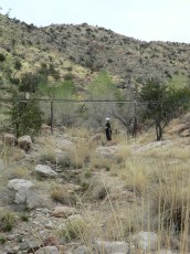
- Cross the road and look for the best possible spot to enter or parallel the canyon just up-highway from the gated dirt road – you may find faint paths to use, but regardless the goal is to find the most reasonable path up-canyon. (The gated area is used for highway maintenance equipment and is signed ‘Do Not Enter’.)
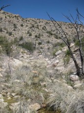
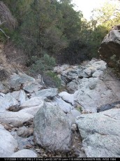
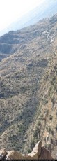
- From here hike up-canyon. If you can find it you might follow the unofficial route along the old pipes – but if you loose it, or you just want to explore, walking the canyon bottom is an option (if you don’t mind some minor scrambles and slippery rock).
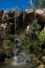
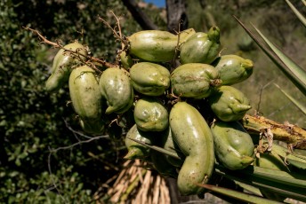
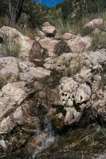
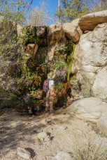
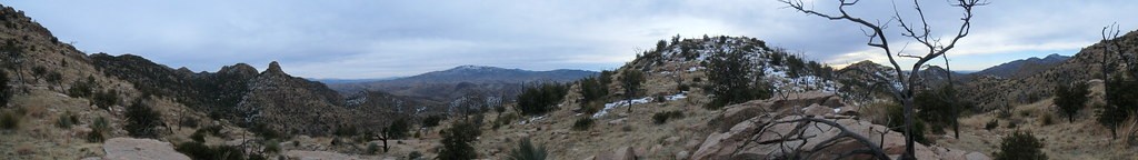
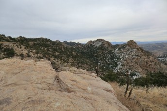
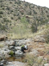
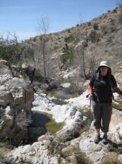
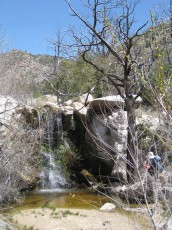
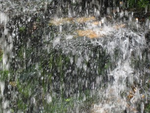
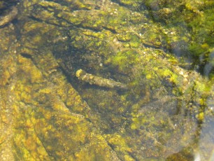
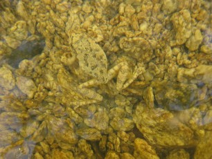
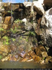
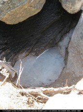
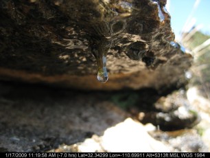
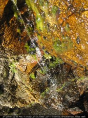
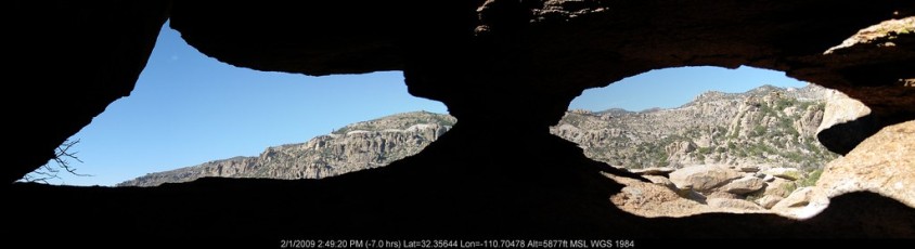
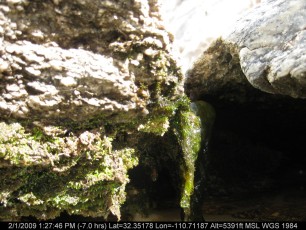
- 1.1 Miles, 5200′: The obvious path ends as you reach the spring area – a nice spot to relax, look for the remains of the water collection infrastructure and explore the small pools of water.
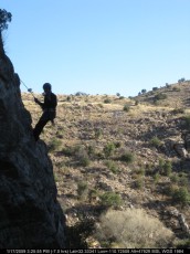
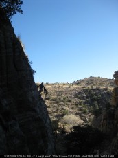
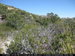
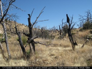
The drainage continues past the spring area and, like many of the neighboring drainages/canyons, can be a good excursion if you are comfortable traveling off-trail in the Santa Catalina Mountains.
Resources
Pictures
2016 September Bug Spring
2013 April Sky Island Alliance Springs Assesment Training

2013 Jan Drainage and Ridge East of Bug Spring
2012 March Bug Spring and 6275
2010 March Bug Springs
2009 Jan 2nd Drainage Above Molino thru Bug Spring

2009 Jan Canyon West of Bug Springs To Bug Springs
2006 Aug Bug Spring
Update Notes
- 2017/8/15 – Added Resources Section, only one post at the moment…
- 2017/7/31 – Img Srcset update, additional image of old infrastructure in spring area
- 2016/12/21 – New pictures, work on descriptions and text
- 2016/12/21 – Fix broken links and add new photo set
- 2014/8/10 – Small GPX, profile and description Update
- 2014/3/2 – Format Update
- 2014/3/2 – Update for WordPress
- 2013/11/25 – New pictures and format update.