Overview
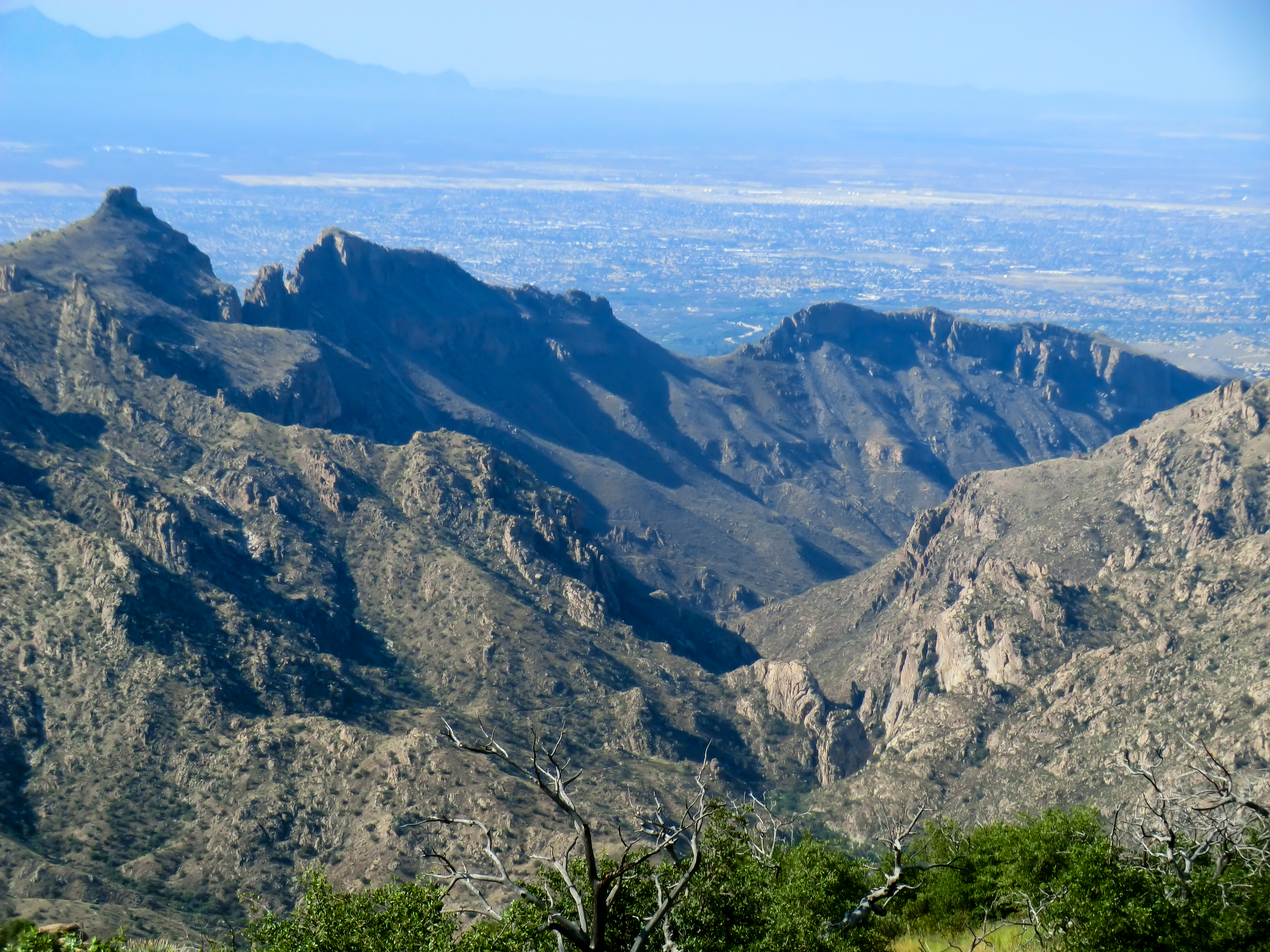
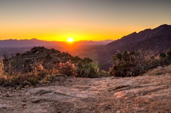
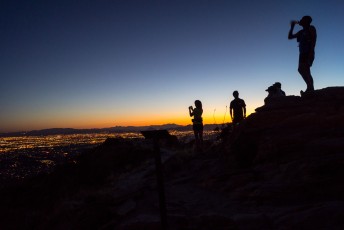
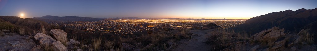
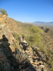
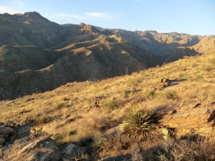
The Blackett’s Ridge trail takes you to an incredible position on the ridge between Sabino Canyon and Bear Canyon with views of both canyons, Mount Bigelow, Saddleback, Thimble Peak and more! But this trail is certainly more than a casual stroll – starting from the popular Sabino Canyon Visitor Center this hike has 1700′ of elevation gain/loss in just under 6 miles of hiking! Enough to make this a slow 6 miles for most hikers…
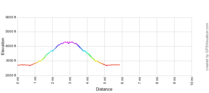
Hike Stats
- Out and Back
- 5.9 miles
- 1,700' Elevation Gain
- 1,700' Elevation Loss
- Highest Elevation: 4,300'
- Lowest Elevation: 2,650'
Location
- This hike is located in the Santa Catalina Mountains near Tucson, Arizona. Part of this hike is in the Pusch Ridge Wilderness.
- Start/End: Sabino Canyon Visitor Center (City's Edge Hikes)
Details
- Fee: Yes ([LemmonFeeCostAndLink/])
- Dogs: No ([sabino-canyon-recreation-area-restrictions])
- Bikes: No (Pusch Ridge Wilderness)
- [pusch-ridge-wilderness-restrictions/]
Drive
- 11.3 miles from Speedway and Campbell
- 25 Minutes from Speedway and Campbell
- Vehicle Access: Paved Roads/Passenger Car
Blackett's Ridge Elevation Profile
Driving Directions
Suggested driving directions from the Speedway and Campbell intersection in Tucson to the Sabino Canyon Visitor Center:
- East on Speedway (3.0 miles)
- Left onto Swan (5.0 miles)
- Right onto Sunrise (4.1 miles)
- Left onto Sabino Canyon Road - the Sabino Canyon Visitor Center is just after the turn on the right. This is a busy area and on popular days the parking area can be completely full (if the parking lot is full it can be tempting to park on the wide shoulder of Sabino Canyon Road north of the parking lot - but that area is signed as 'No Parking' and the Pima Country Sheriff's Department does occasionally ticket cars parked along Sabino Canyon Road).
Google Maps Directions from the Speedway and Campbell intersection in Tucson to Sabino Canyon Visitor Center.
Trail Notes
[CueListWarning]
- Park at the Sabino Canyon Visitor Center
- On the east side of the parking lot there is a small walled area that marks the start of the hike – take the obvious/wide dirt path east from this spot – some trail signs will help you along the way.
- When you reach the paved road take a right (note that you can use trails that parallel the road, but I prefer just using the road…)
- At the first paved intersection take a right (just before a set of bathrooms), this will take you over a bridge.
- At the next junction go across the road onto a trail
- You will quickly reach a trail junction – take a left onto the Phoneline Trail (a right will take you onto the Bear Canyon Trail towards Seven Falls).
- After about .5 miles the Blackett’s Ridge Trail splits off to the right/east from the Phoneline Trail
- From here follow the trail to the top!
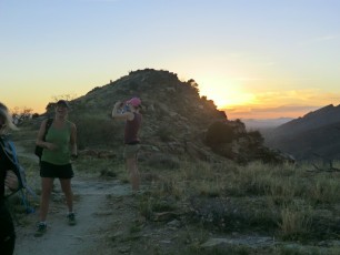
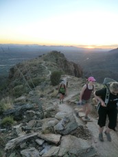
- If it is your first time know that the trail is quite a workout after you turn off of the Phonline Trail – and that the first several times (at least) you think you see the ‘top’ it is not really the top!
The name Blackett’s Ridge has been in use since the late 1930s when Don Everett, an English and Latin Teacher at the Southern Arizona School for Boys, named the route for student Hill Blackett, Jr. – but the name does not appear on the USGS maps for the area. (Don Everett is also responsible for naming at least one other well know landmark in the Santa Catalina Mountain – ‘Hutch’s Pool’, which is also named for a student.)
Resources
- HikeArizona
- Trail Talk – Summit Hut Blog – Blackett’s Ridge: Because It Is So Good
- AZDean – Tucson Hikes – Blacketts Ridge Trail
- Chaoscanyon
- summitpost.org
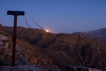
- kenneturner.com – Hiking Blackett’s Ridge In The Sunset and Full Moon Light
- [GuideTucsonHikingGuide/]
- [GuideYellowBook/]
- Posts on HikeLemmon.com:
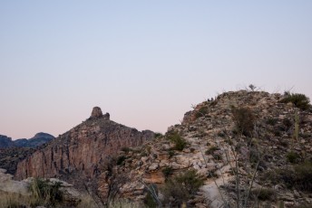
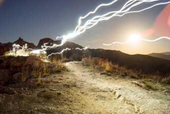
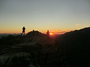
Pictures
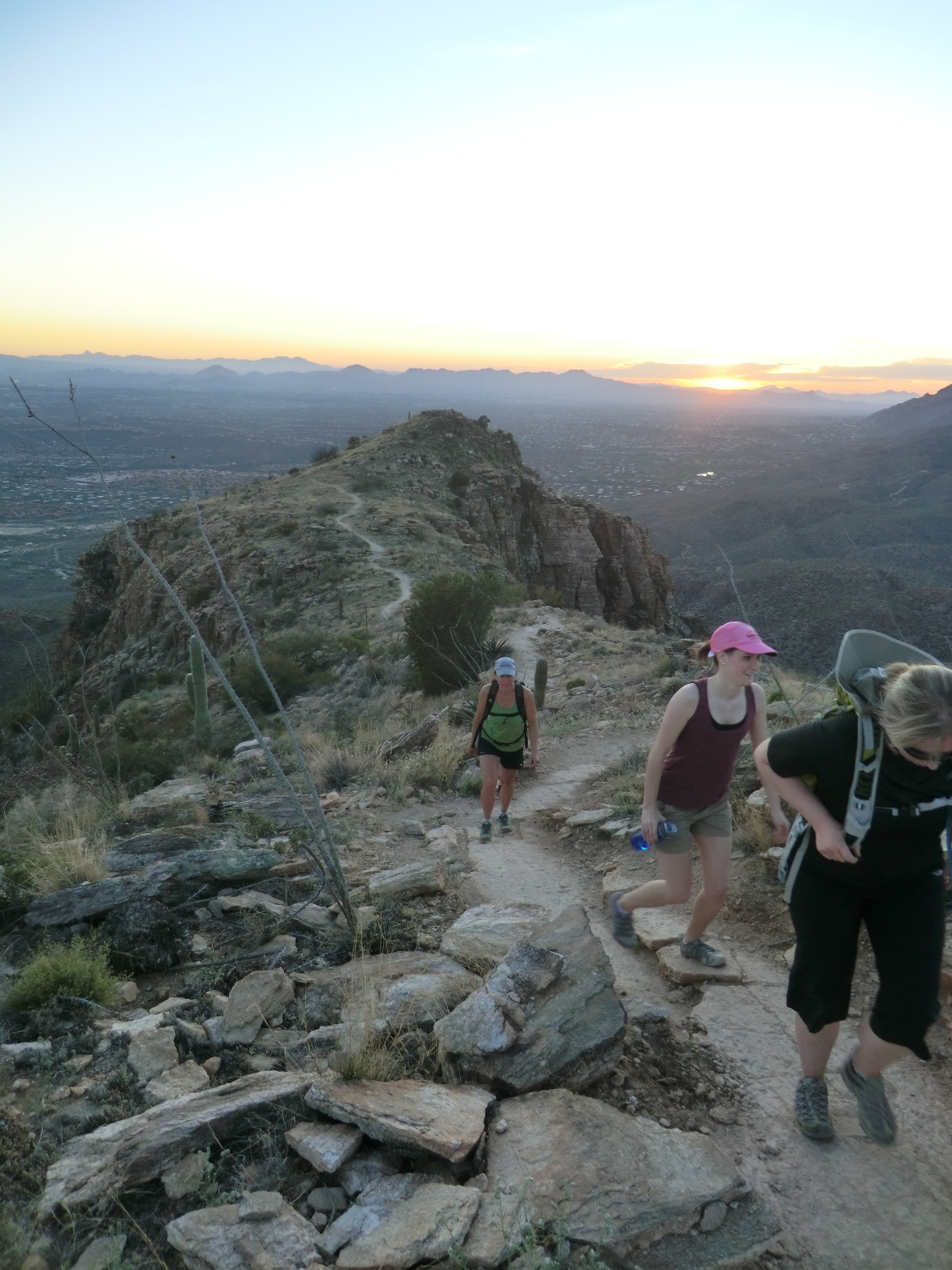
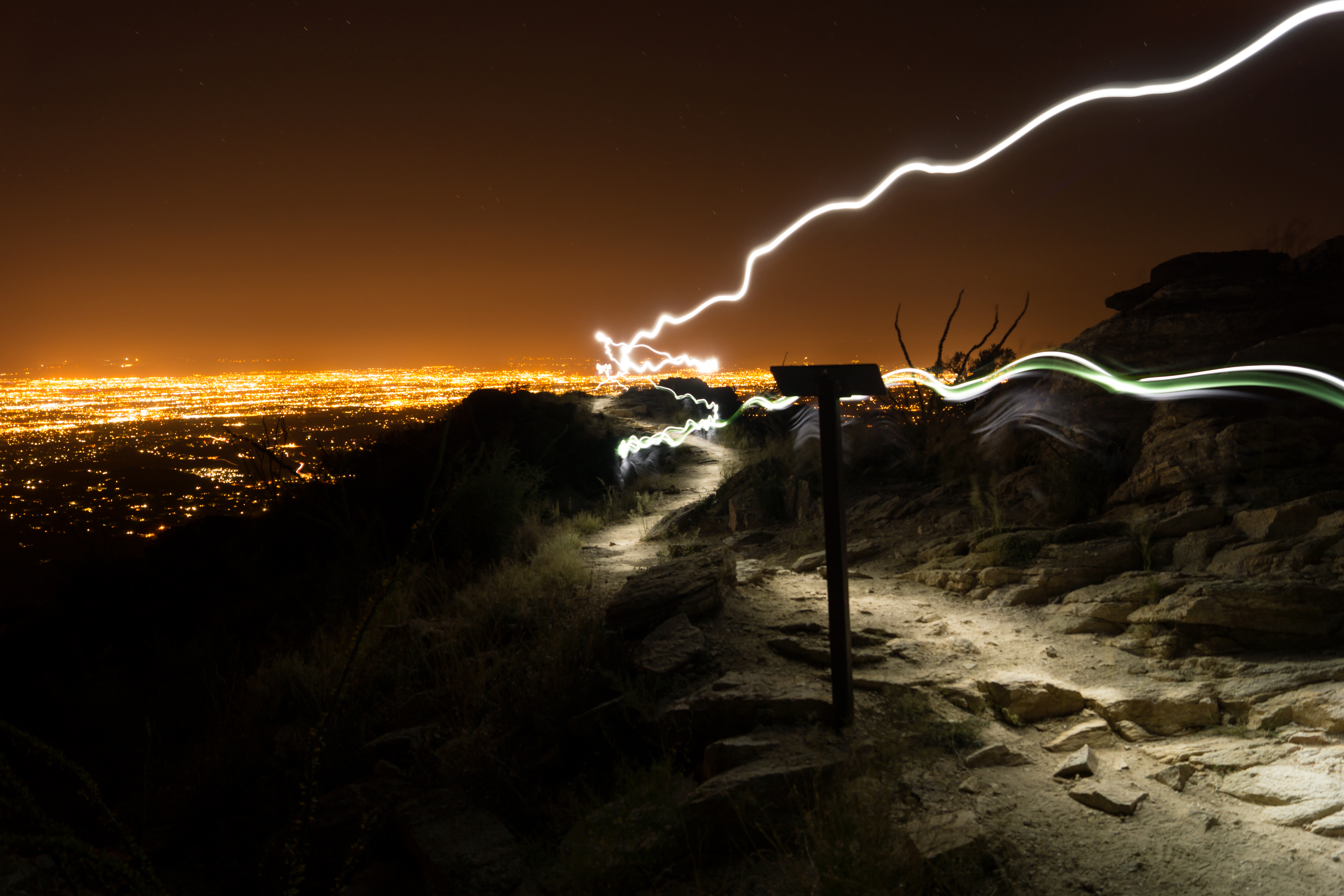
2014 March Blackett’s Ridge for the Last Full Moon of Winter
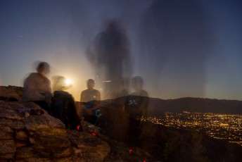
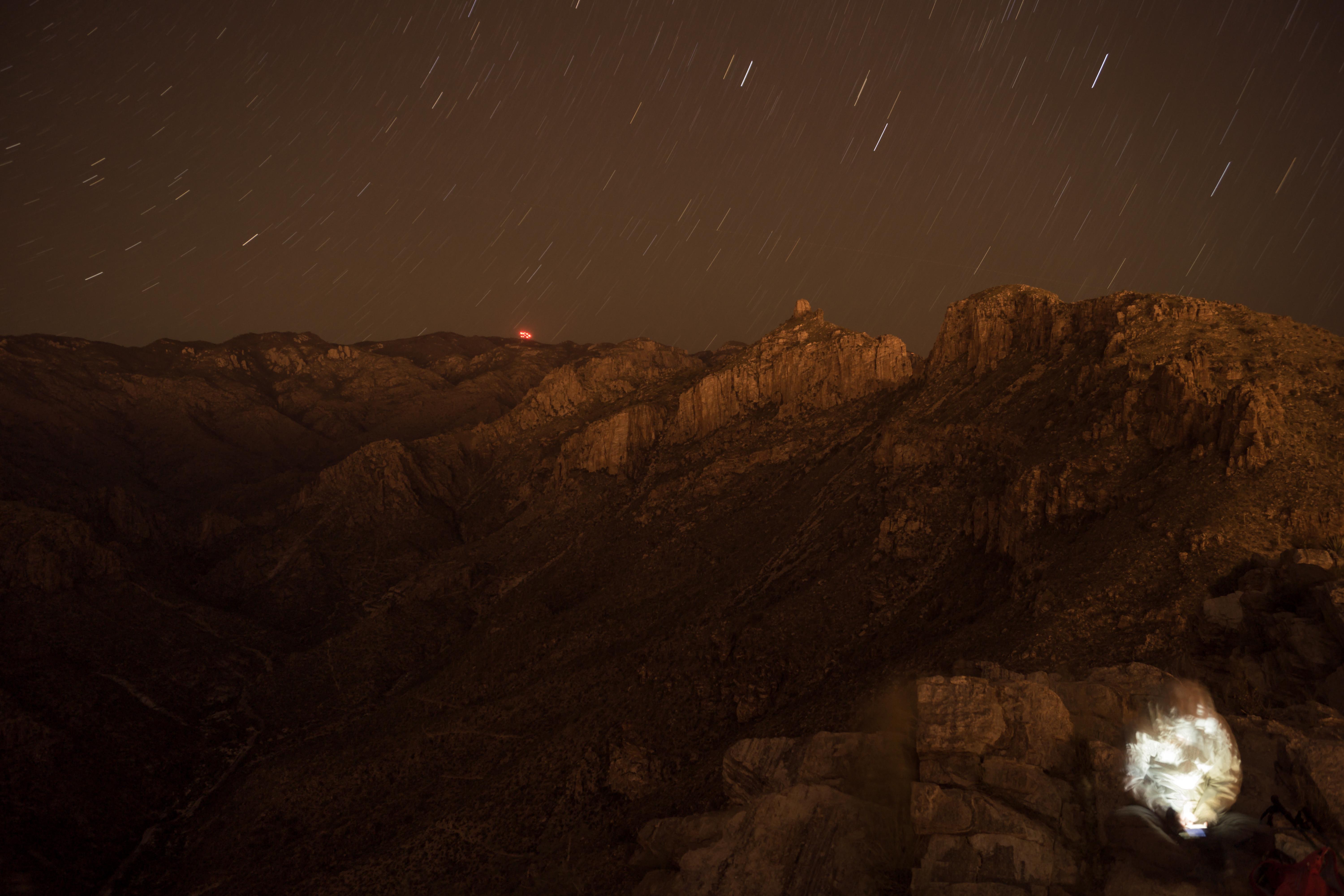
2013 September Midnight on Blacketts Ridge
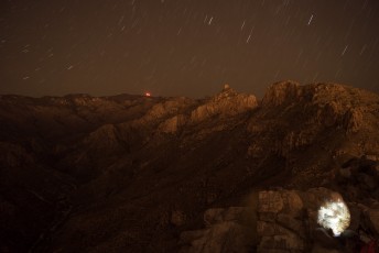
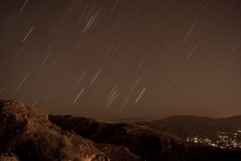
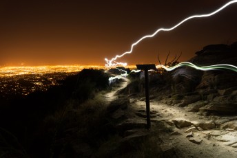
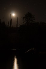
2012 March Blackett’s Ridge
Update Notes
- 2017/8/14 – Add HikeLemmon posts to Resources
- 2017/7/31 – Img Srcset Update
- 2014/7/27 – Format update
- 2013/3/24 – Added picture set, resources and pictures format changed to list
- 2014/3/8 – Added elevation profile
- 2014/3/1 – Changes for move to WordPress
- 2014/2/22 – Added dates to the pictures, updated the directions format, added restrictions and cautions.
- 2013/11/24 – Format work (Overview) and history/name info