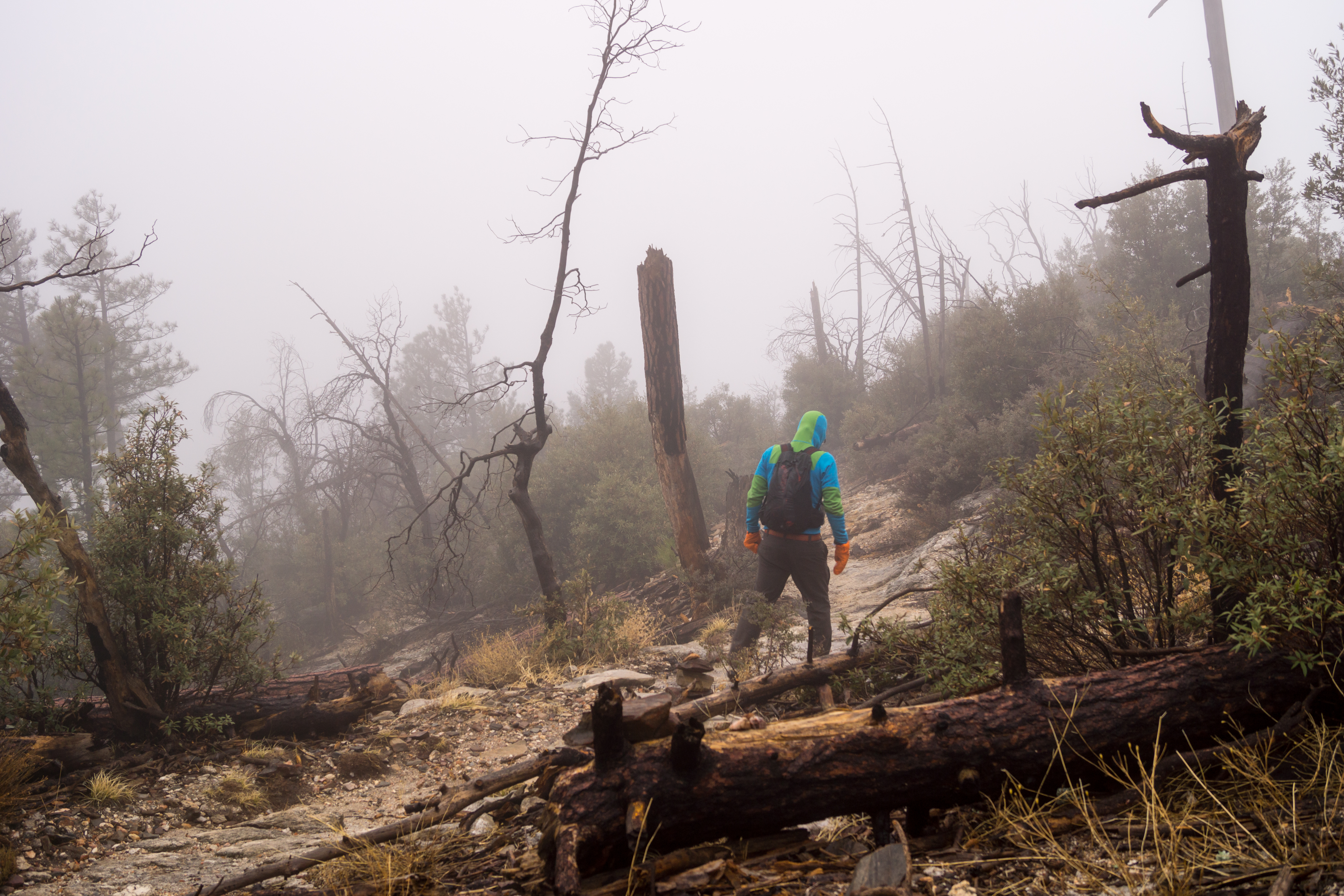
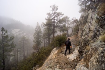
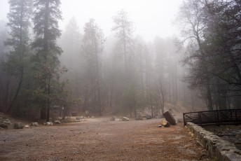
Storm. February 2014.
Overview
The Sunset Trail #90 is a short hike with good views of Sabino Canyon, sections of nice shade from big trees and access to the Marshall Gulch Trailhead. This is a great variation/alternate start for the Aspen Trail and Marshall Gulch Trail.
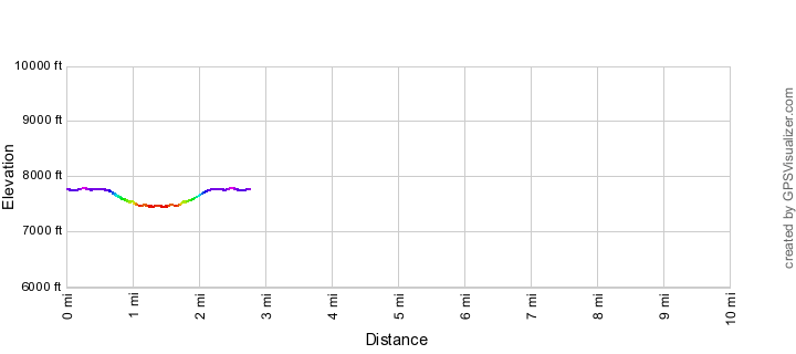
Hike Stats
- Out and Back
- 2.6 miles
- 500' Elevation Gain
- 500' Elevation Loss
- Highest Elevation: 7,800'
- Lowest Elevation: 7,450'
Location
- This hike is located in the Santa Catalina Mountains near Tucson, Arizona.
- Start/End: Sunset Trailhead (Top of the Mountain Hikes)
Details
- Fee: No
- Dogs: Yes
- Bikes: Yes
Drive
- 36.5 miles from Speedway and Campbell
- 1 Hour and 10 Minutes from Speedway and Campbell
- Vehicle Access: Paved Roads/Passenger Car (Mountain Road - be careful of weather conditions!)
Sunset Trail Elevation Profile
Driving Directions
Suggested driving directions from the Speedway and Campbell intersection in Tucson to the Sunset Trailhead:
- Drive East on Speedway (5.0 miles)
- Left on Wilmot and continue on Tanque Verde (4.3 miles)
- Left on Catalina Highway (27.1 miles)
- Signs will help you find this trailhead on the down-mountain side of the Highway.
Google Maps Directions from the Speedway and Campbell intersection in Tucson to Sunset Trailhead.
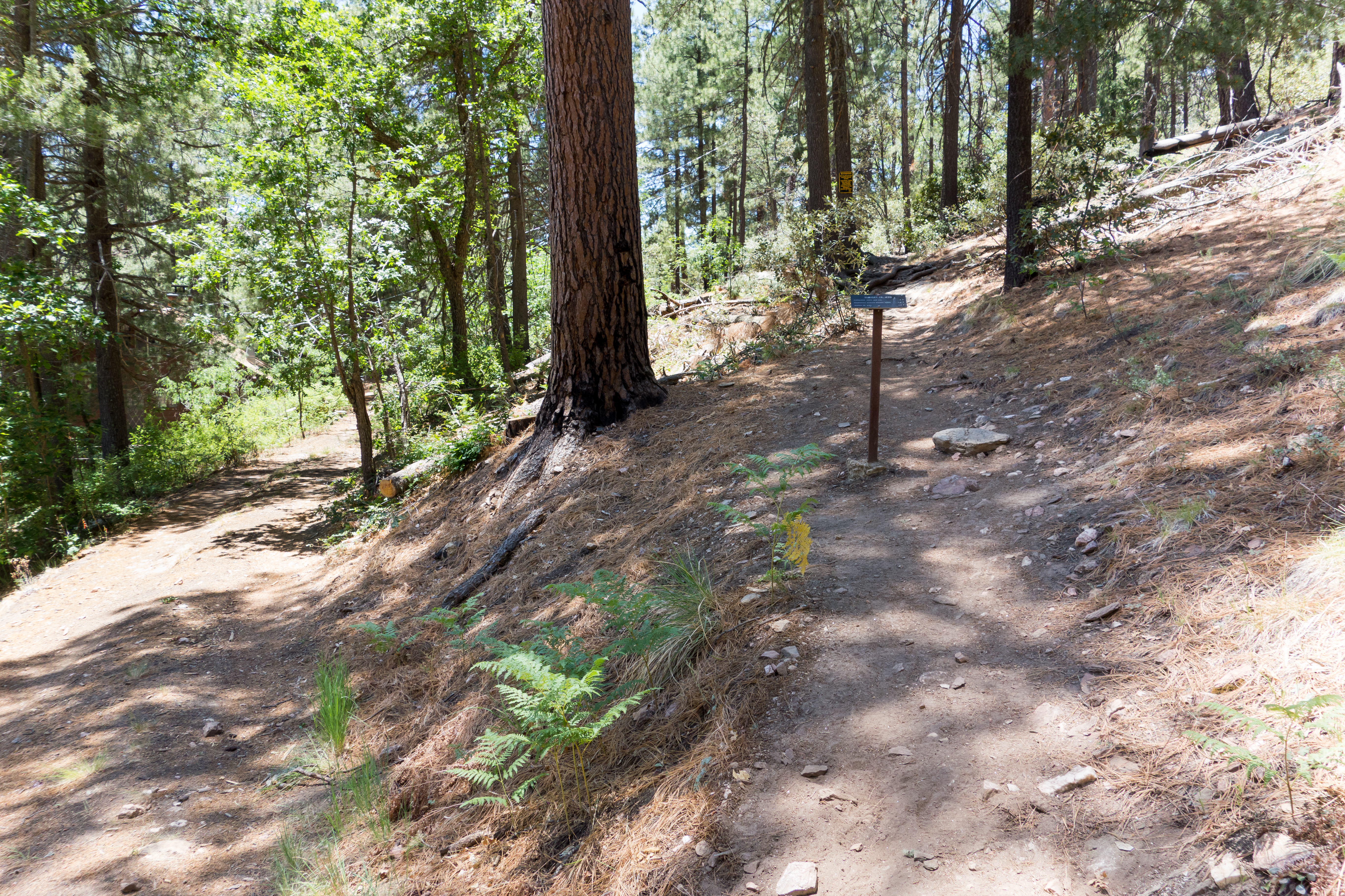
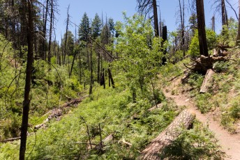
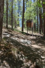
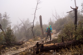
The start of the Sunset Trail. June 2014.
Trail Notes
[CueListWarning/]
- 0.0 miles, 7750′: Start from the Sunset Trailhead [Waypoint TH SS]
- From the trailhead take the lower road (to the left) – there is usually a trail sign here to help you start on the correct road. If you cross a gate or head immediately uphill you have taken the wrong road… The road soon becomes dirt.
- At the first intersection/parking area stay right/on the ‘main’ road.
- 0.25 miles, 7800′: At a junction take road 8A to the left. [Waypoint J 8A 8B]
- 0.35 miles, 7750′: At a signed junction the trail leaves the dirt road to the right. [Waypoint J FR8A SS]
- 1.0 miles, 7500′: The trail makes a sharp turn as it crosses a drainage – be careful not to follow the unofficial trail up the drainage. [Waypoint SS01]
- The trail soon enters Sabino Canyon, in places it can be difficult to discern the ‘official’ trail but all the possibilities stay in or near the canyon bottom.
- 1.3 miles, 7450′: The trail ends at the south end of the Marshall Gulch Trailhead. The Aspen Trail and Marshall Gulch Trail both leave from this trailhead. [Waypoint MG TH]
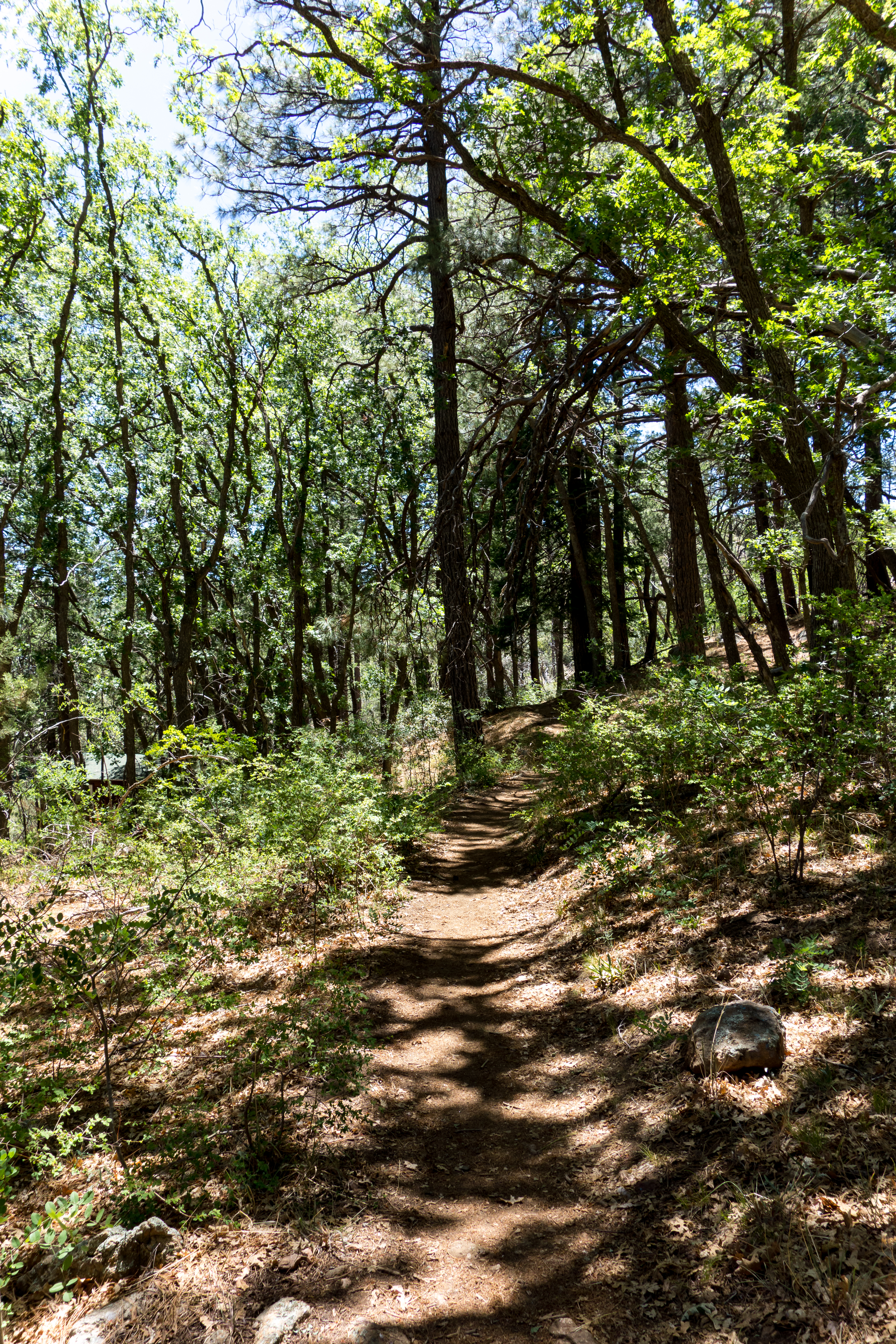
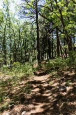
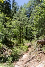
Left: Trees and shade near the start of the Sunset Trail. June 2014.
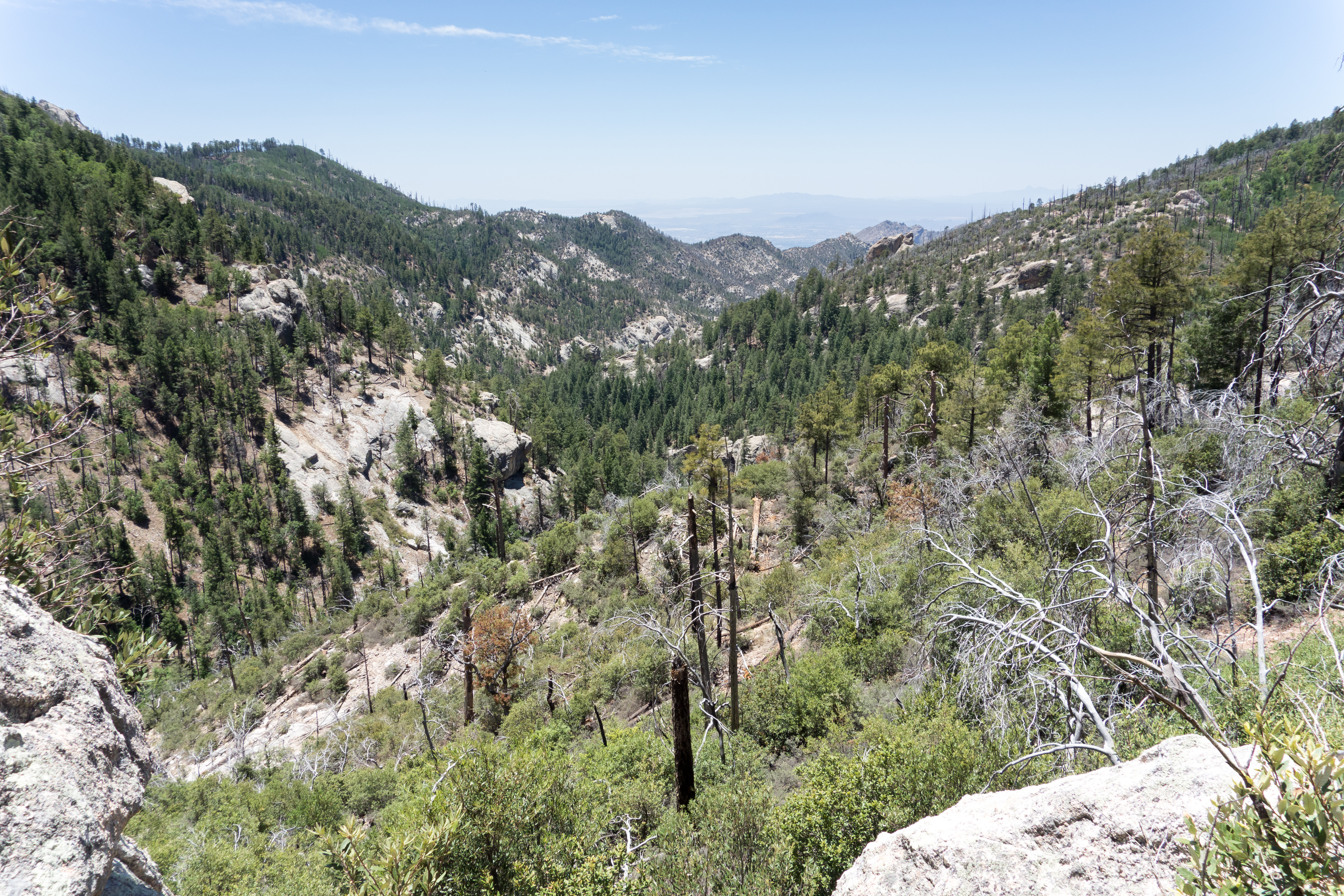
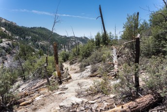
Right: Looking up Sabino Canyon towards Marshall Gulch. June 2014.
Right: Looking up Sabino Canyon towards Marshall Gulch. June 2014.
Maps
- [MapGreenTrailsCatalina/]
- [MapSahcCatalina/]
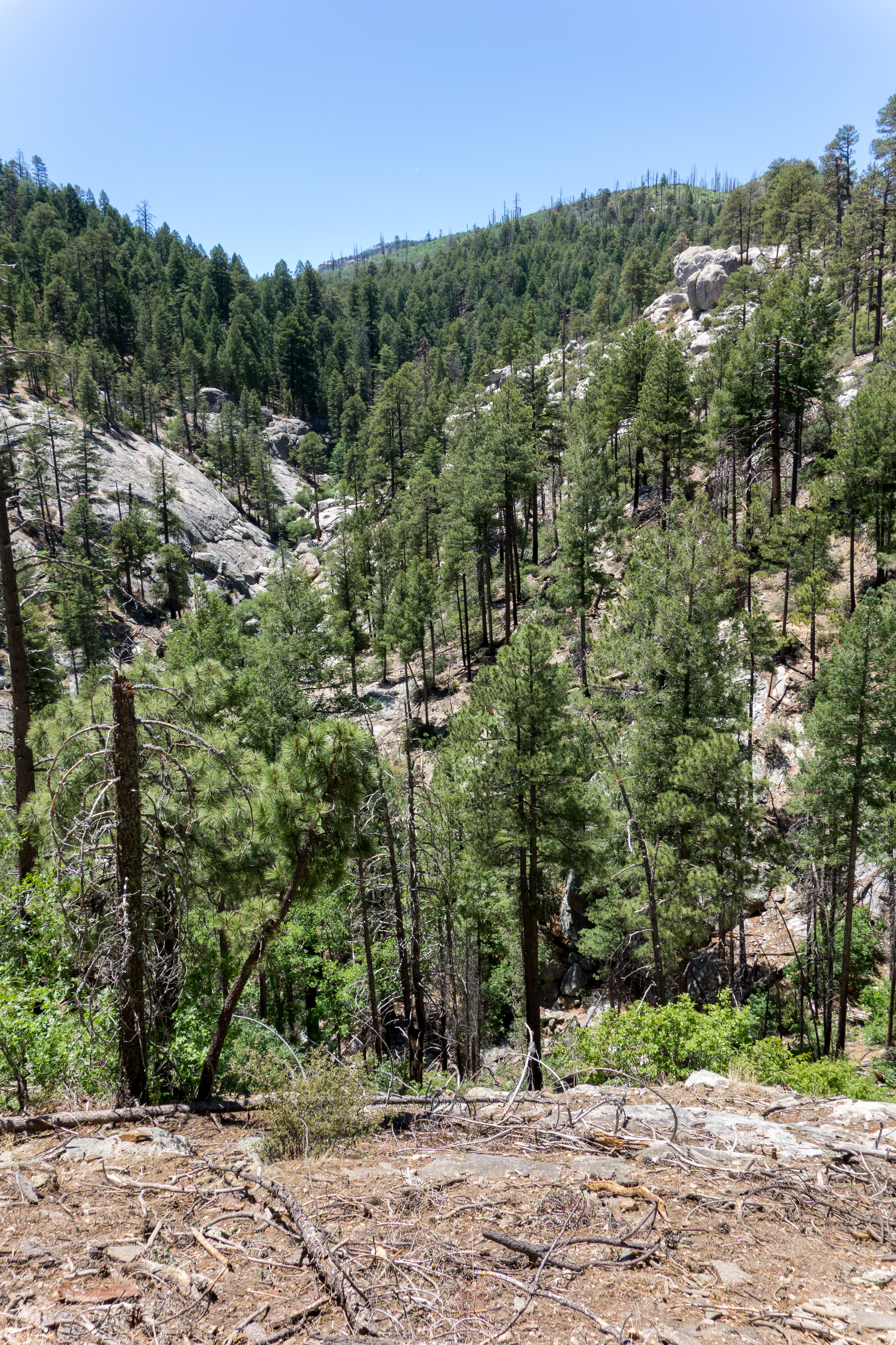
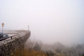
Looking down Sabino Canyon from the Sunset Trail. June 2014.
Resources
- HikeArizona.com
- [GuideYellowBook/]
Pictures
2014 June Sunset and Marshall Gulch
2014 March Sunset Trail Storm
Update Notes
- 2017/8/15 – HikeLemmon posts added to resources
- 2017/8/7 – Img Srcset update, add several missing links
- 2014/6/25 – Initial page