Last month in Bears, Steward, Grants, 2006 – 9/10/2016 I included basic information from Arizona State Parks Approves 29 Grants to Enhance Trails throughout AZ about a number of local organizations that received grants – a quick/friendly email to the Grant Program Leader for Arizona State Parks was all that was needed to get a few more details – it is great to see these organizations applying for, and receiving, grant money to help improve outdoor recreation in Southern Arizona!
Catalina State Park
Catalina State Park is located within Coronado National Forest and is managed by Arizona State Parks in cooperation with the U.S. Forest Service.
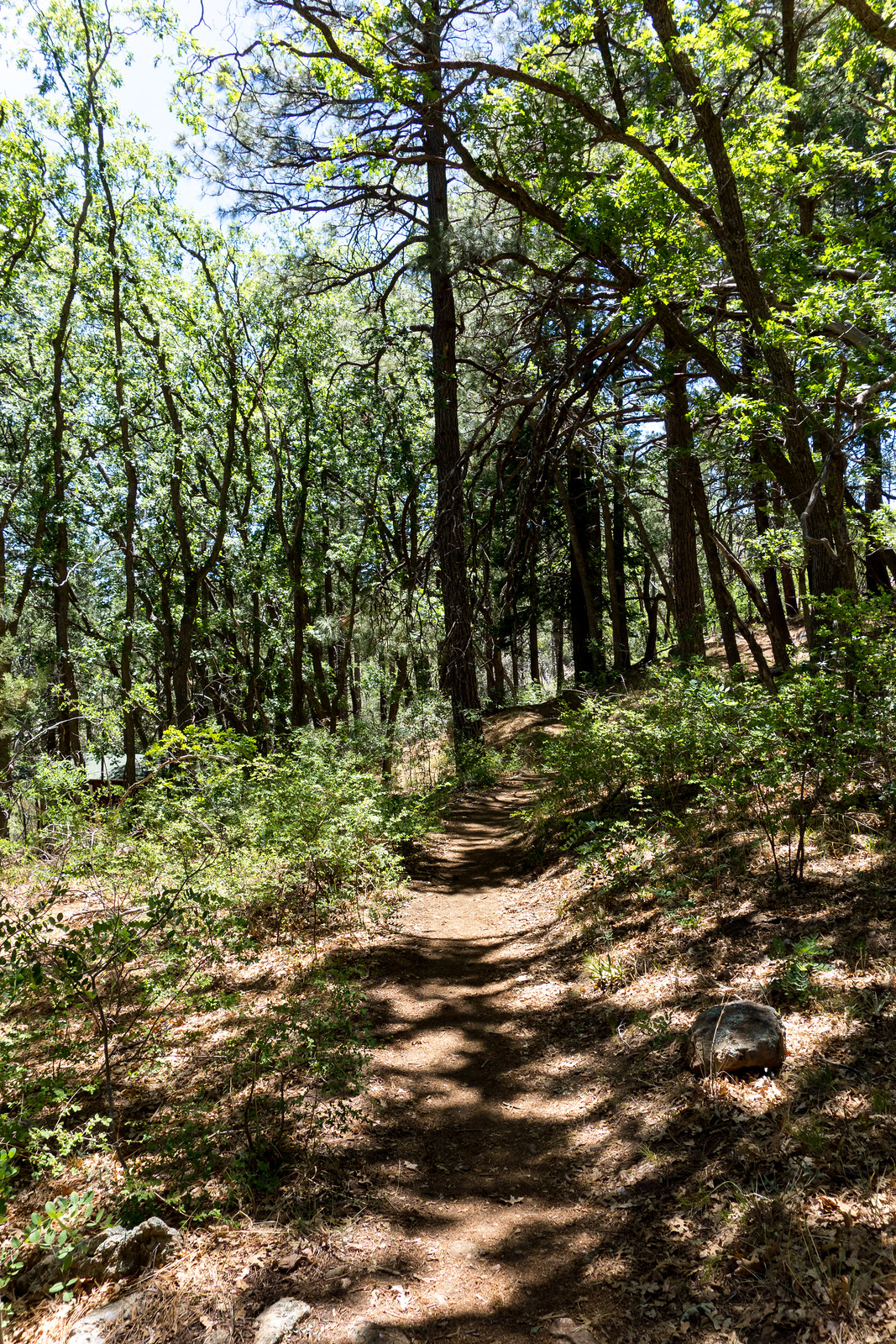
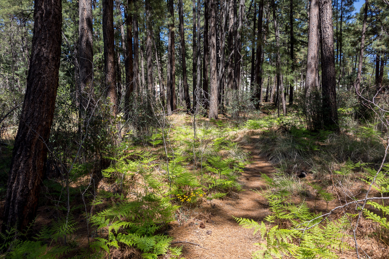
The Bridle Trail is a heavily used trail with a trailhead and approximately 1.4 miles long beginning in Catalina State Park and extending into the Coronado National Forest. The Bridle Trail is a relatively flat, slightly curved trail. The trail surface is predominantly a compacted sand substrate, although rocky protrusions exist in a few areas. Maintenance is needed to prevent resources damage and provide for public safety.
This project will add approximately 6″ of base rock as well as 3″ decomposed granite (DG) to Bridle Trail in Catalina State Park. The trail affected is 1.4 miles long and 10 feet wide. Material haulers, compacting equipment, a water truck, and a vibratory roller designed for trail work (narrow base) will be used to spread and compact the surface. Other hand tools will be used to clear brush, prune encroaching vegetation and further manicure the trailhead.
The improvements will provide a quality and safe recreation experience.
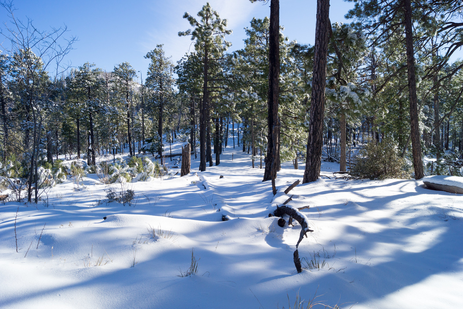
Coronado NF—Santa Catalina Mountains
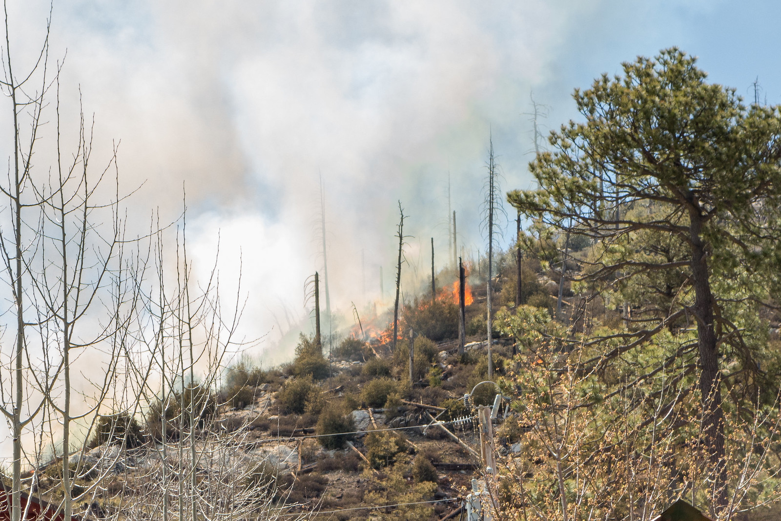
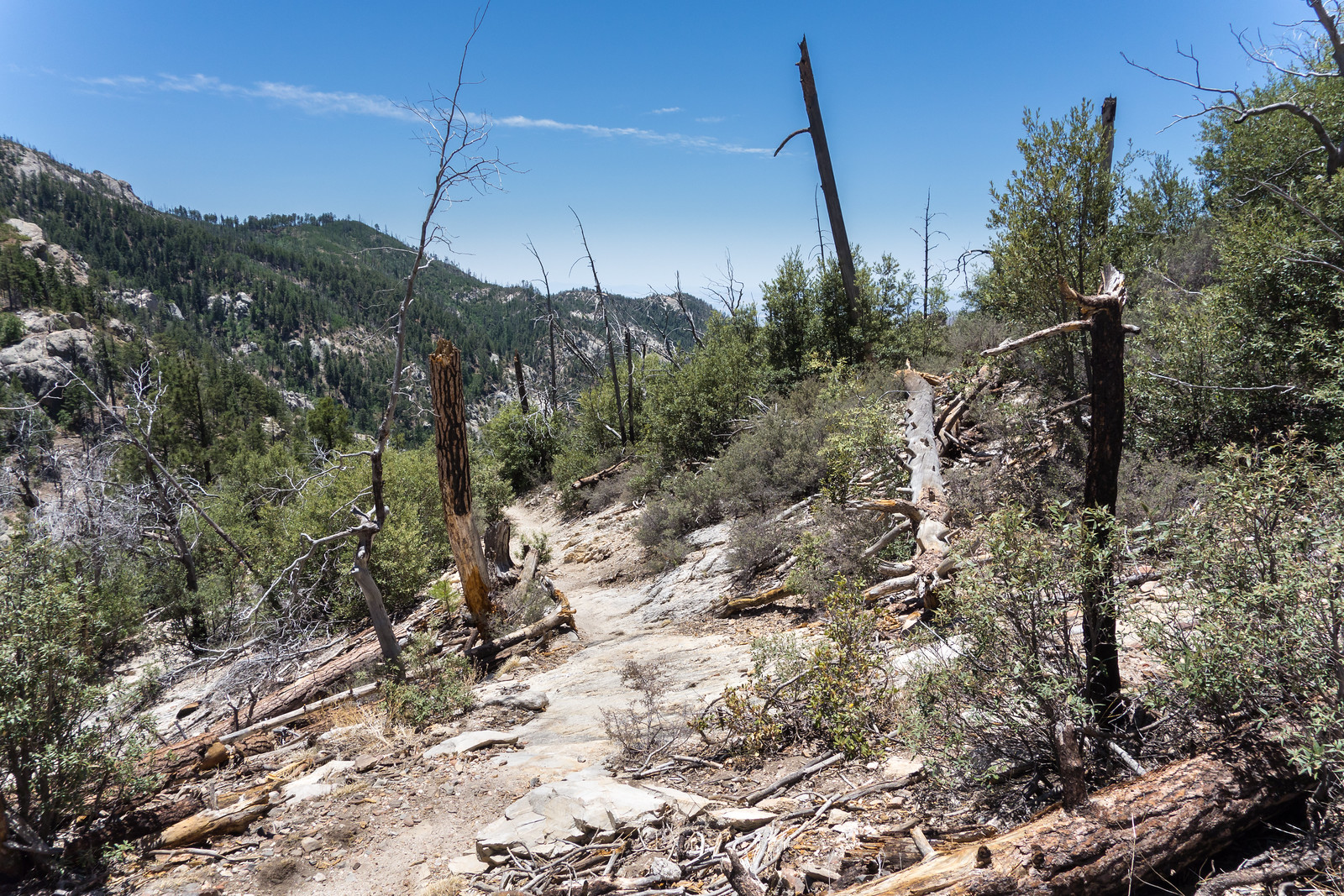
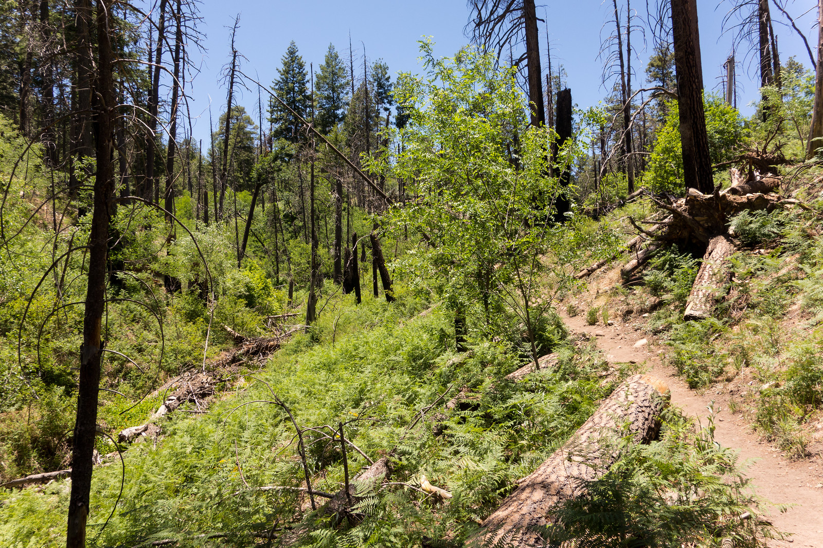
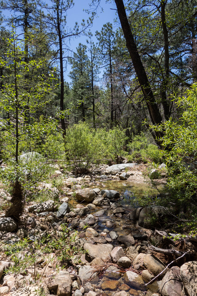
As the US Forest Service continues to experience a decline in a located funding, the dispersed recreation program on the Santa Catalina Ranger District has been unable to secure the resources needed to adequately maintain and ensure the safe conditions of its many multiple-use trail ls. The District has approximately 245 miles of multiple-use, National Forest System trails which receive 1 .5 to 2 million visitors each year, according to National Visitor Use Monitoring data. Over the past 14 years, the Santa Catalina Ranger District has experienced several above-averge flood events and two catastrophic wildfires that have exacerbated the need for trail maintenance to sustain the desired recreational opportunities for the annual visitor base.
While the popularity of recreation continues to increase exponentially, the District does not have a trail crew or the personnel required to keep these multiple-use trails maintained within the required specifications and standards, including those criteria that must be met for public safety. The District trails listed in this application have had minimal cyclic maintenance in recent years and are currently in desperate need of corridor expansion, brushing, logging and tread work to mitigate public health and safety concerns, and to provide a better recreation experience for the increasing visitor population. If awarded, these funds will benefit millions of visitors by improving their safety and enhancing their experience on the Santa Catalina Ranger District. These funds will also help to provide training opportunities for our volunteers as they work together with the conservation crews to accomplish these projects.
Oro Valley
The Honey Bee Canyon Park Trail Rehabilitation Project will include routine trail maintenance on the existing 2.03 miles of trails within the park. Honey Bee Canyon Park is a 62-acre natural passive park within the Rancho Vistoso master planned community. It features a trail system, two ramadas, and a restroom facility. The Honey Bee Canyon Park trail system connects to other Oro Valley and Pima County trails. The park is heavily used on a local and regional basis by residents and visitors. It was operated by Pima County until2012, when it was transferred to the Town of Oro Valley.
The scope of work for this project will include:
l. Trail clearing – in areas where trail is impassable/difficult (i.e. very rocky)
2. Re-delineation of trails using available rock where trail tread direction is not evident
3. Repair of trail where necessary (i.e. in areas where erosion creates big gullies in trail)
4. Replacement and/or repair of areas with steps using railroad ties or similar
5. Repair of natural trail from parking area – making switchbacks easier/safer
A materials storage/staging area will be located in an already cleared area close to the first Ramada. It is anticipated that a Bobcat might be needed, and will be provided.
The goal of this project is to enable visitors to have a better travel experience within the park by providing them with safer and better delineated trails, without losing the appreciation of the natural environment.
Climbing Association of Southern Arizona
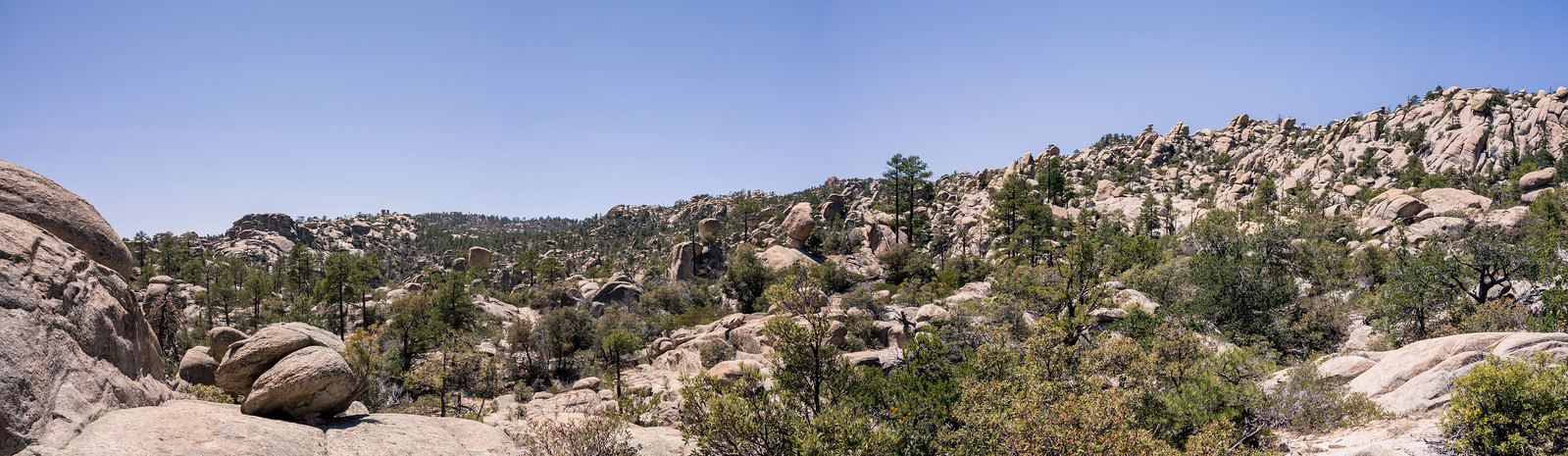
The Santa Catalina Trails Project will provide maintenance and restoration on heavily used Santa Catalina Ranger District Forest
Service trails that are used by rock climbers, hikers, equestrians and mountain bikers.
21.5 miles of trails will be targeted, which will include the following trails: Bellota, Trail #39, Bug Springs, Incinerator Ridge, Aspen Trail, Marshal Gulch, Meadow, Trail #5, and Finger Rock.
The project will accomplish the following goals:
x Utilize the local Arizona Conservation Corps (AZCC), with crews composed of up to 50% local youth, to perform maintenance and restoration work.
x Develop and implement, in partnership with the Santa Catalina Ranger District, a training program to teach all trail users (rock climbers, hikers, equestrians, and mountain bikers) how to perform basic trail maintenance to Forest Service standards.
x Coordinate and deploy AZCC crews and volunteers sanctioned by the Santa Catalina Trails Project training program (above) to perform maintenance and restoration work as needed by the Santa Catalina Ranger District.
x Integrate targeted trail maintenance with CASA’s (Climbing Association of Southern Arizona) existing volunteer Adopt a Crag program through joint events with AZCC and other user groups such as the Arizona Trail Association.
Association of 4WD Clubs
The purpose of this grant is to create a pilot program that would enhance partnerships between public land managers, motorized recreational users and the general public. The main focus of this grant is to visit schools, dealerships, organized motorized groups and attend community events to provide Off-Highway information to the general public and listen to concerns and issues related to the Off-Highway Vehicle Program. The project will work closely with Arizona State Parks and Trails, OHV Ambassadors, and Arizona Game and Fish to provide information related to the program and develop programs that can be used in schools.