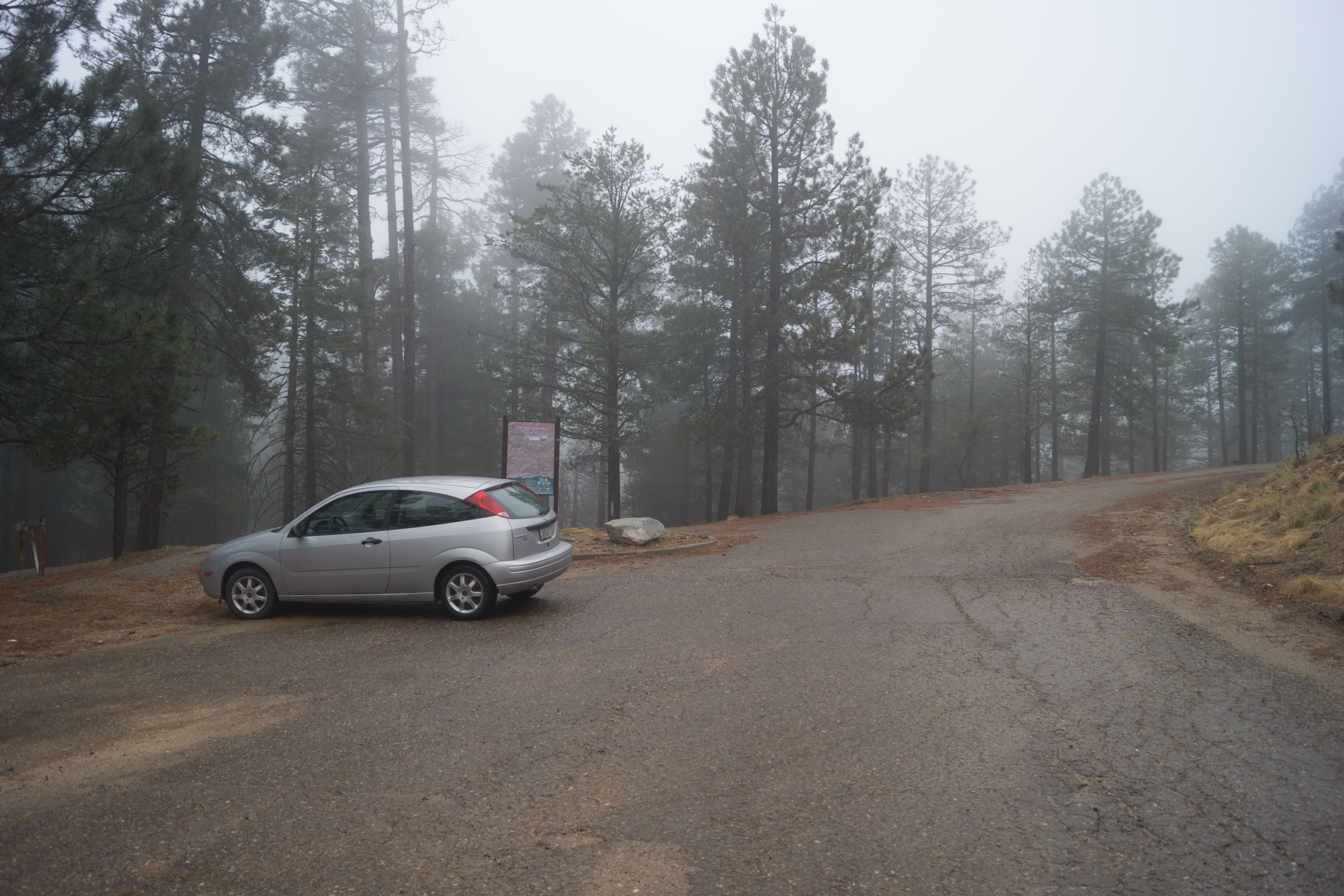
A stormy day at the Sunset Trailhead. March 2014.
Overview
Location
- Top of the Mountain Hikes - Santa Catalina Mountains - Southern Arizona
- Google Map Coordinates: 32.42761400 -110.74172700
- At This Trailhead: Sunset Trail
- Nearby Trailheads and Parking: Upper Butterfly Trailhead
Driving Time and Distance from Tucson
- 1 Hour and 10 Minutes from Speedway and Campbell
- 36.5 miles from Speedway and Campbell
- Miles up Highway: 22.6 miles
- Side of the Highway: Down-mountain
- Vehicle Access: Paved Roads/Passenger Car (Mountain Road - be careful of weather conditions!)
Fees and Services
- Fee: No
- Restrooms: No
- Water: No
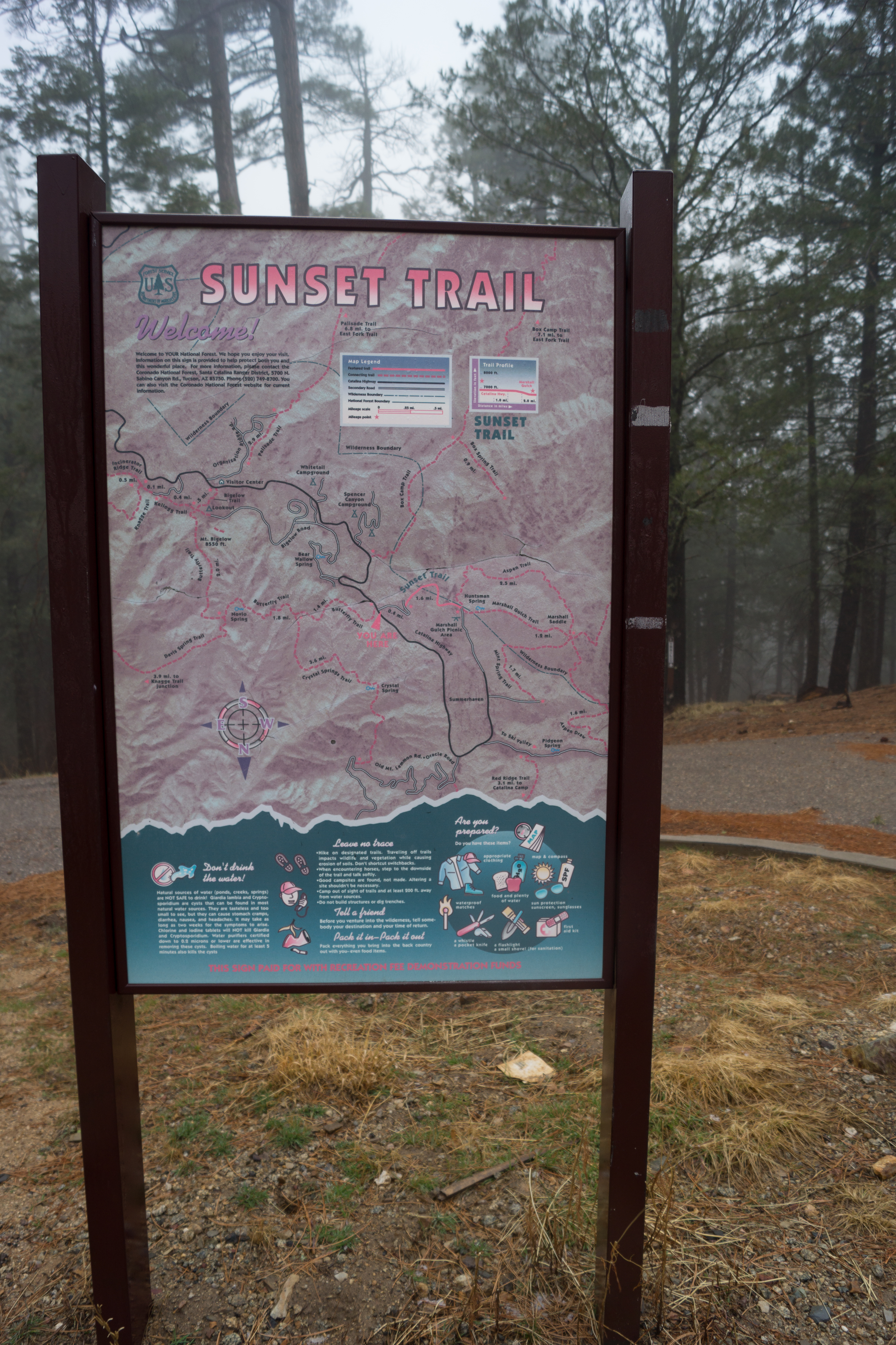
Sunset Trail Trail Map sign. March 2014.
Driving Directions
Suggested driving directions from the Speedway and Campbell intersection in Tucson to the Sunset Trailhead:
- Drive East on Speedway (5.0 miles)
- Left on Wilmot and continue on Tanque Verde (4.3 miles)
- Left on Catalina Highway (27.1 miles)
- Signs will help you find this trailhead on the down-mountain side of the Highway.
Google Maps Directions from the Speedway and Campbell intersection in Tucson to Sunset Trailhead.
Resources
All Trailheads - Map
Update Notes
- 2019/1/29 – Resources section added
- 2017/8/6 – Img Srcset update, All Trailheads map added