Overview
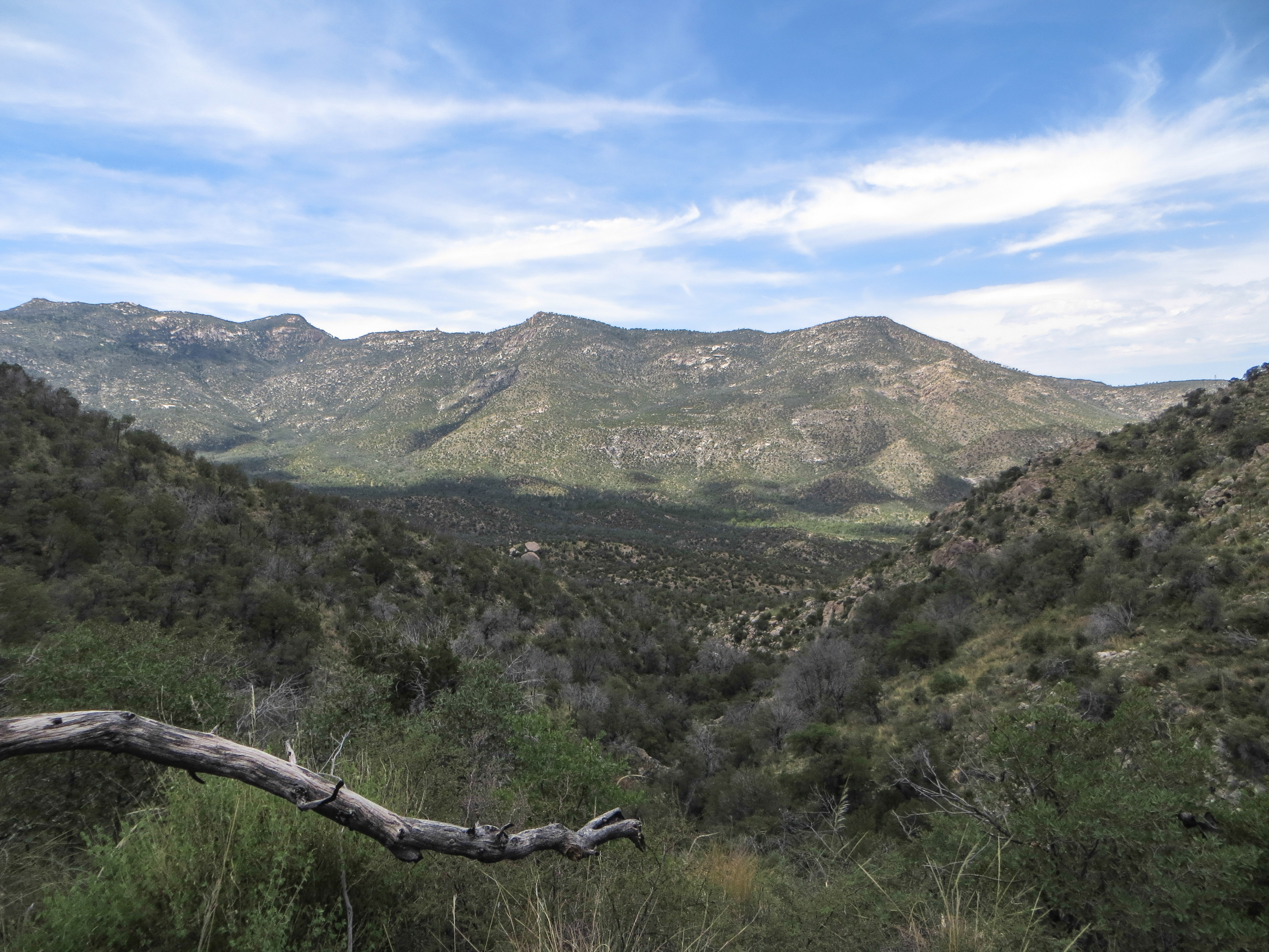
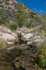
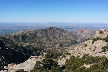
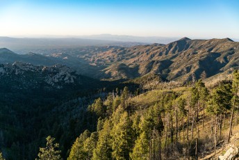
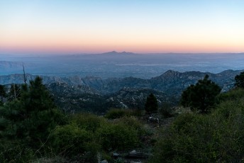
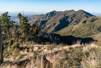
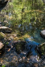
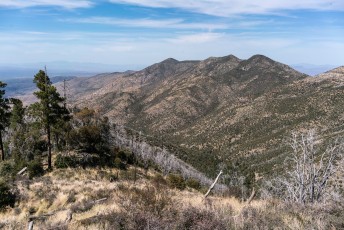
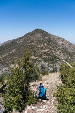
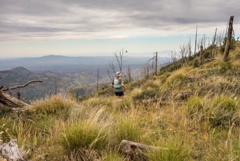
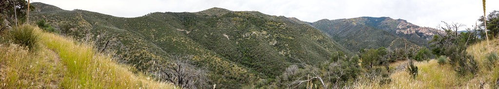
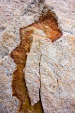
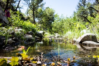
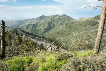
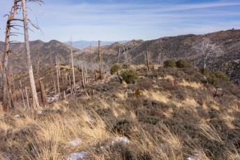
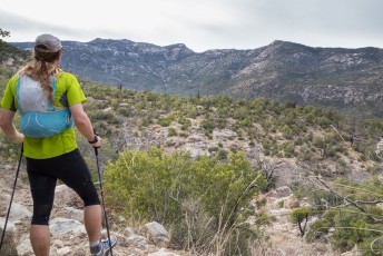
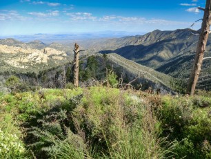
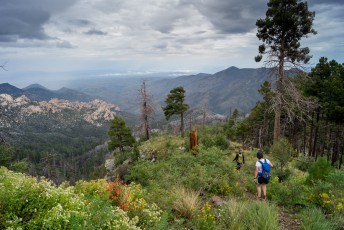
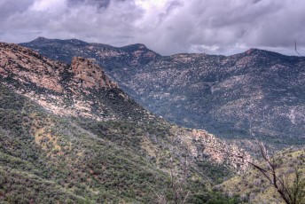
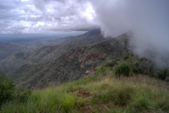
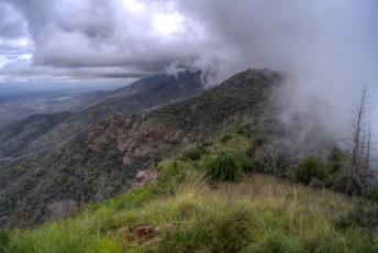
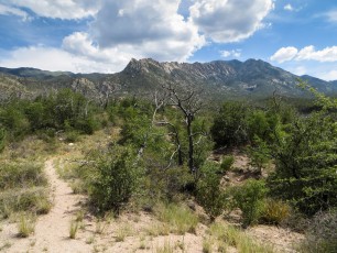
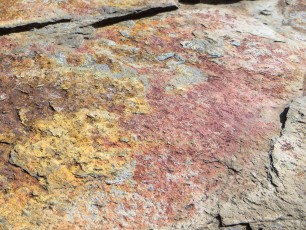
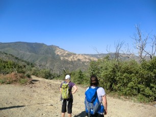
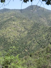
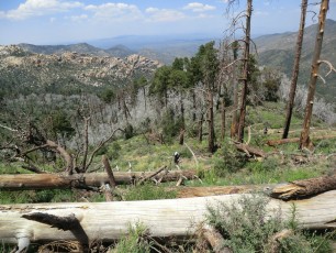
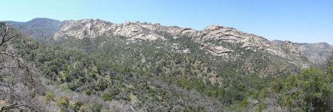
The Red Ridge Trail is almost certainly named for the red color of the rocks and soil along sections of the ridge, but going up this trail I can not help but think of the other reds this trail offers – the red hot sun blazing down and the red faces struggling with the elevation gain… As usual the effort is worth it – great views of all the other great North Ridges of the Santa Catalina Mountains (Samaniego Ridge, Reef of Rock, Oracle Ridge) and, at least some parts of the year, flowing water in both the East Fork of the Canada del Oro and the Canada del Oro proper!
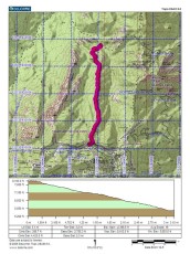
Hike Stats
- Out and Back
- 9.5 miles
- 3,400' Elevation Gain
- 3,400' Elevation Loss
- Highest Elevation: 8,100'
- Lowest Elevation: 5,200'
Location
- This hike is located in the Santa Catalina Mountains near Tucson, Arizona.
- Start/End: Red Ridge Trailhead (Top of the Mountain Hikes)
Details
- Fee: No
- Dogs: Yes
- Bikes: Yes
- Fires cleared large trees from the upper portion of the ridge - while it will be cooler on this trail than it is down in Tucson it can be quite hot on a sunny summer day. The lower 2+ miles of the trailer are at a lower elevation - hotter - and very exposed to the sun.
Drive
- 39.2 miles from Speedway and Campbell
- 1 Hour and 20 Minutes from Speedway and Campbell
- Vehicle Access: Paved Roads/Passenger Car (Mountain Road - be careful of weather conditions!)
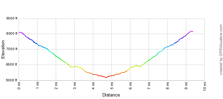
Red Ridge Trail Elevation Profile

Driving Directions
Suggested driving directions from the Speedway and Campbell intersection in Tucson to the Red Ridge Trailhead:
- Drive East on Speedway (5.0 miles)
- Left on Wilmot and continue on Tanque Verde (4.3 miles)
- Left on Catalina Highway (29.1)
- Right on Ski Run Road (0.7 miles)
- The Red Ridge Trailhead will be on the right (up-mountain side of the road) - the trailhead is a small dirt pull-thru, it may be easier to park at the paved parking pullout on the left/down-mountain side of the road past the trailhead.
Google Maps Directions from the Speedway and Campbell intersection in Tucson to Red Ridge Trailhead.
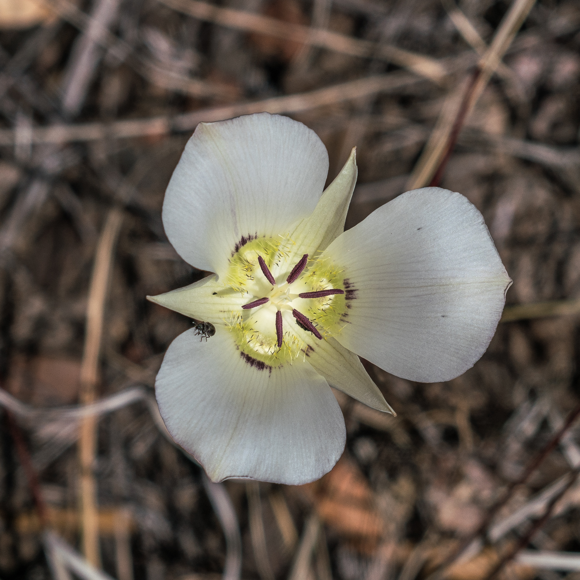
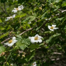
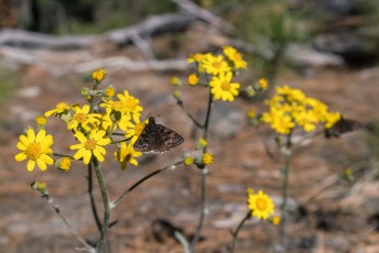
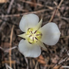
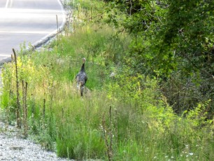
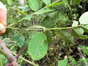
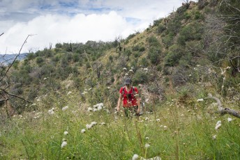
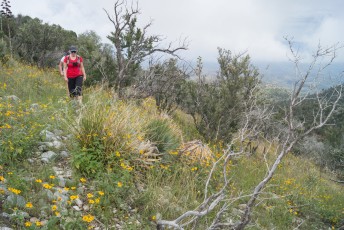
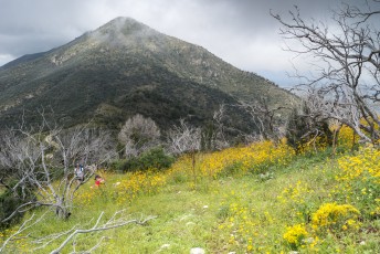
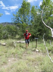
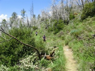
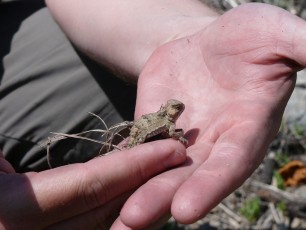
Right: A Mariposa along the Red Ridge Trail. April 2017.
Trail Notes
[CueListWarning/]
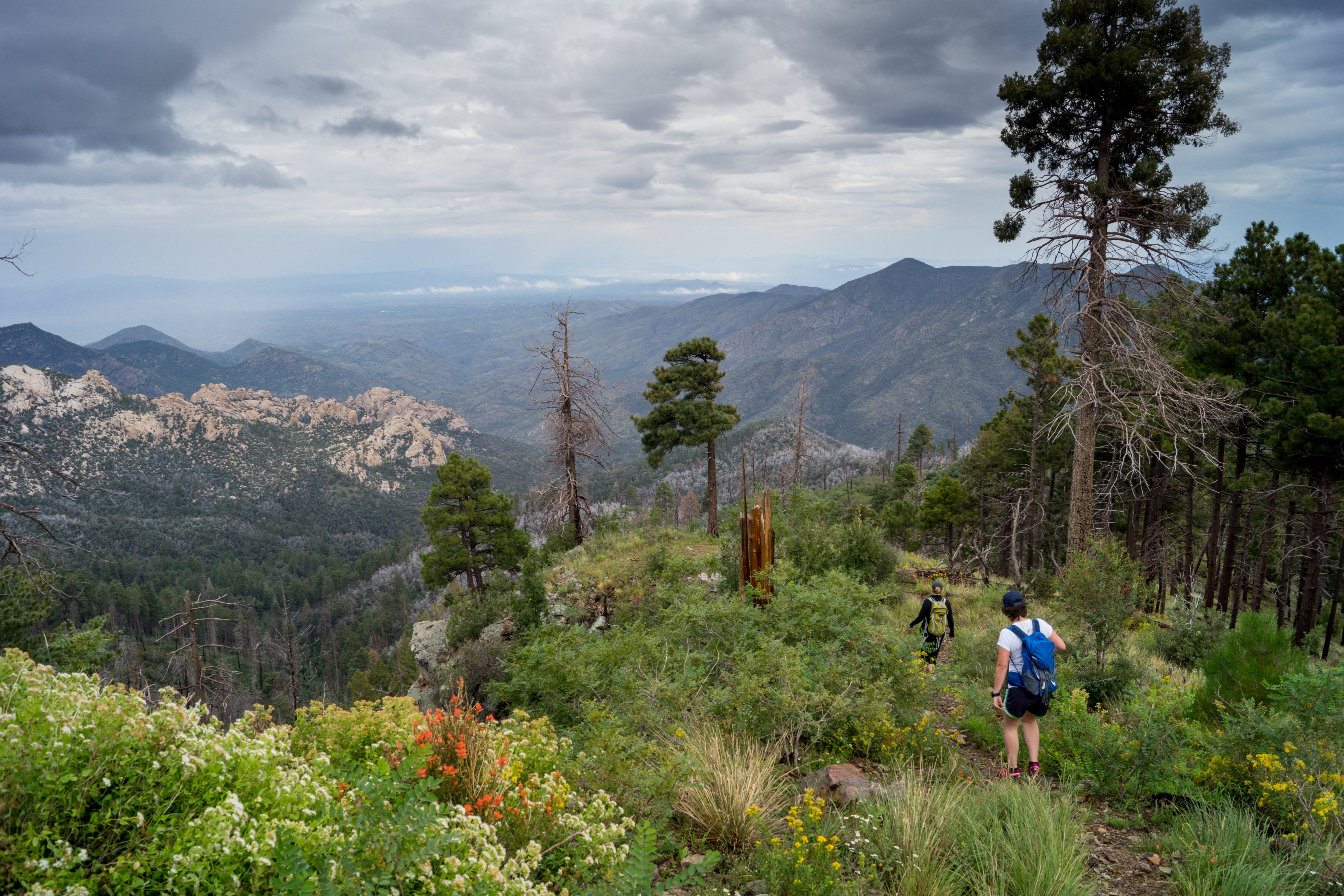
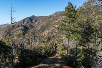
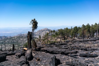
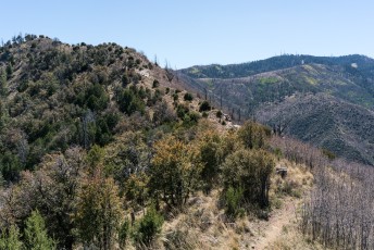
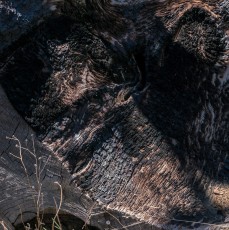
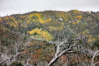
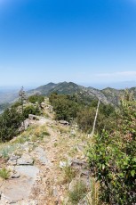
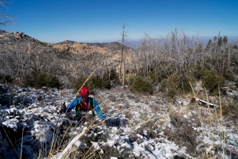
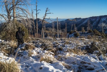
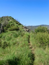
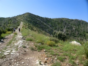
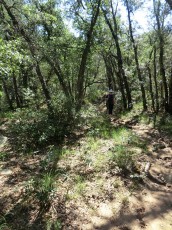
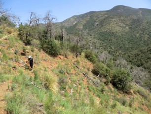
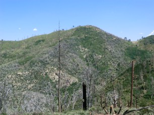
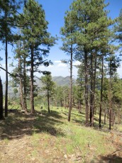
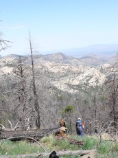
- 0.0 miles, 8100′: The trail leaves the trailhead [Waypoint RR TH] at a large sign and follows the hillside above the road, crosses a flat area and then begins descending along the ridge. The top section of the ridge is fairly open with great views of Oracle Ridge and the Reef of Rock. This area burned in the 2003 Aspen Fire.
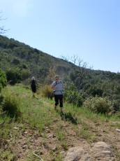
- The trail descends out of the burned area – note the red soil/rocks along the trail!
- 1.8 miles, 6700′: Continue descending! You might note a faint trail here that contours along the hillside, but it is unlikely to be confusing (and you might not even notice it) since the Red Ridge Trail is much more heavily used. [Waypoint RR01]
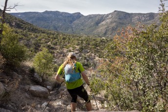
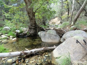
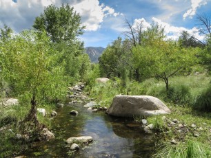
- 2.8 miles, 5850′: The trail crosses the East Fork of the Canada del Oro [Waypoint RR02]. The East Fork is often flowing and this is a lovely spot to take a break. After crossing the East Fork the trail quickly arrives at the signed junction of the Red Ridge and Catalina Camp trails [Waypoint J RR CC] and continues to the left. The Catalina Camp Trail (to the right) is part of one of my favorite loop hikes – the Red Ridge/Catalina Camp/Oracle Ridge loop, probably the best sub-10 mile loop on the mountain! (The loop requires either a car shuttle or hike along the road from the Oracle Ridge Trailhead back to the Red Ridge Trailhead – also note that the loop is amazing, but not easy since it gains and looses a significant amount of elevation…).
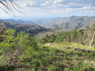
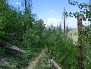
- Below the Catalina Camp junction the Red Ridge Trail is not as heavily used – most of the trail is easy to find, but there are more side trails to avoid and occasional spots where you may have to pay attention to find the trail as you head down to the junction with the CDO.
- 3.1 miles, 5900′: The trail climbs to a small saddle and descends down the other side as it contours around Point 5818. [Waypoint RR03]
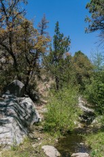
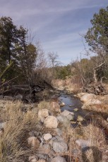
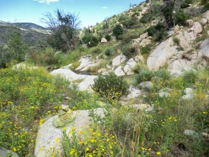
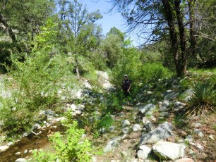
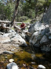
- 3.7 miles, 5500′: The Red Ridge Trail crosses the stream. [Waypoint RR04]
- 3.8 miles, 5450′: Another stream crossing [Waypoint RR05]
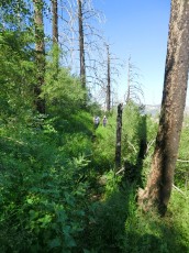
- 4.3 miles, 5300′: Pay attention to stay on the trail as it passes thru areas areas burned in the 2003 Aspen Fire. [Waypoint RR06]
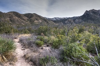
- 4.7 miles, 5200′: Signed junction with the Canada del Oro Trail! There are a number of options from this junction – two of the best are returning the way you came or hiking up the Canada del Oro Trail to make a long loop hike. [Waypoint J RR CDO]

An article from the Arizona Daily Star states that the Red Ridge Trail was constructed by the Forest Service in the 1920s. From p.13 of the June 29, 1924 Arizona Daily Star:
The forest service is at present working on the construction of two very interesting trails … Red Ridge trail begins near the main ridge of the Catalinas that the highway crosses, and goes, as the name implies, over the ridges toward Oracle.
The Red Ridge Trail was once part of the Arizona Trail and many maps still show the Arizona Trail’s older route. Until the end of 2010 the Arizona Trail Association page for Passage 12 of the Arizona Trail included the Red Ridge Trail and the Trail Description read:
This passage begins at the junction of the Mt. Lemmon Trail (#5) and the Sutherland Trail (#6). From here the route utilizes the following trails: the Sutherland Trail (#6), the Samaniego Ridge Trail (#7), the Canada del Oro Trail (#4), the Red Ridge Trail (#2), the Catalina Camp Trail (#401), the Oracle Ridge Trail (#1), and the Cody Trail (#9) which ends at The American Flag Trailhead.
In 2011 the description was changed to reflect the current route of the Arizona Trail which bypasses the very beautiful, but very indirect, previous path along the Sutherland/Samaniego Ridge/Canada del Oro/Red Ridge/Catalina Camp Trails in favor of the Oracle Ridge Trail:
This passage begins at Romero Pass on the Mt Lemmon Trail (#5). From here the trail works its way northeast up to the junction with the Wilderness of Rocks Trail (#44). It follows this trail to the east and then northeast until it reaches the Marshall Gulch Trail (#3). From here the route goes east/southeast to the Marshall Gulch Trailhead on FR 10. It turns north following this road into Summerhaven. From Summerhaven the route turns onto FR 38 (Control Road), and then continues due north and downhill on the Oracle Ridge Trail (#1). It turns east on the Cody Trail (#9) and then reaches the end of the passage at The American Flag Trailhead.
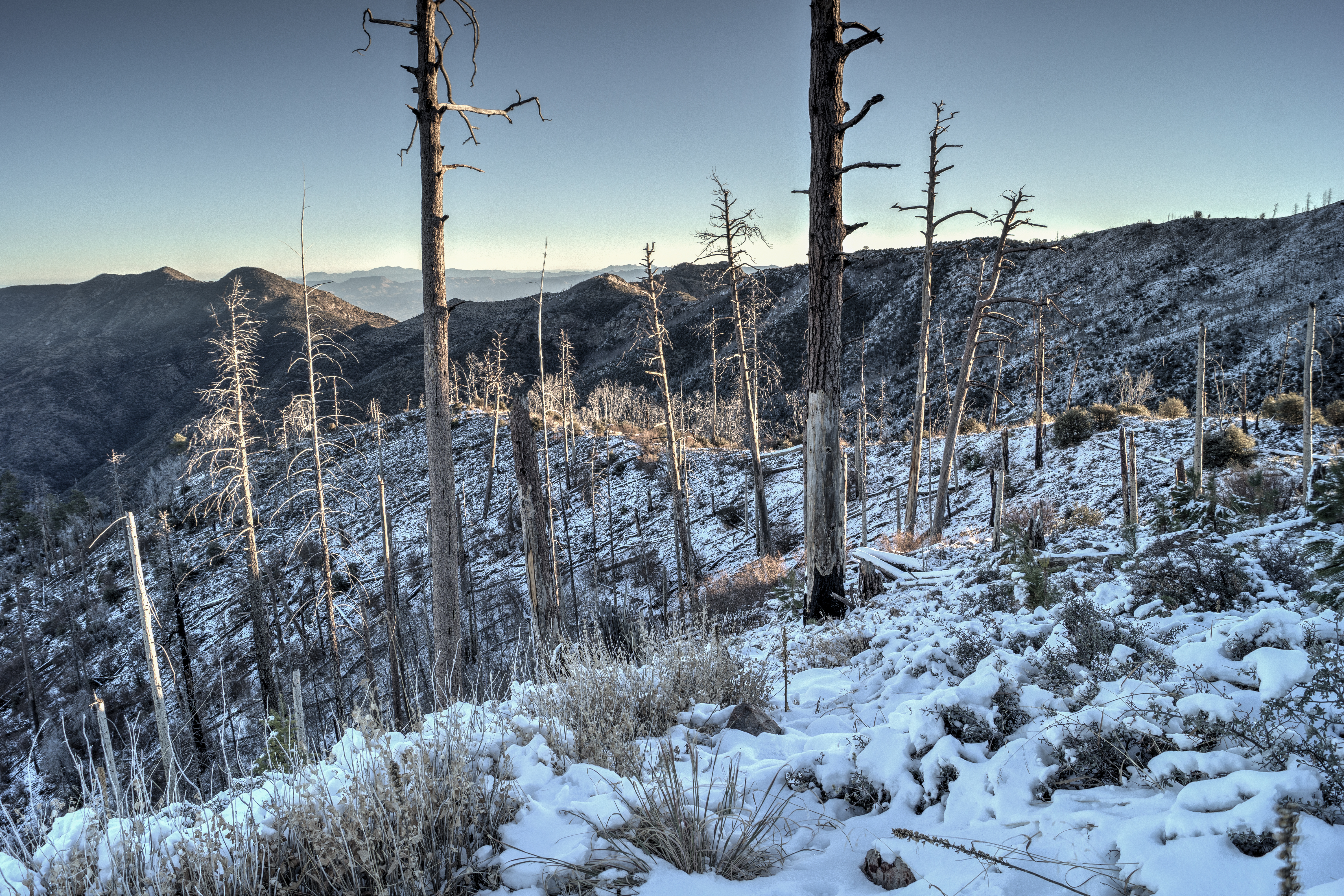
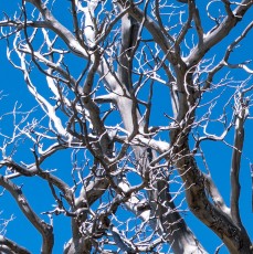
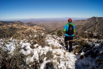
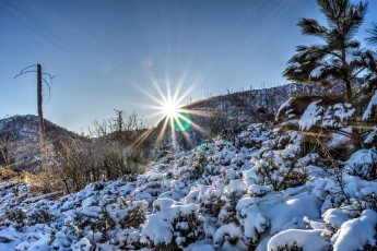
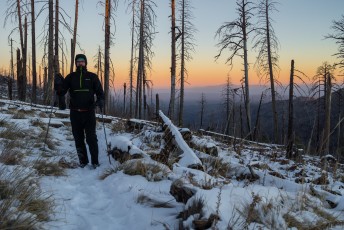
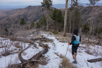
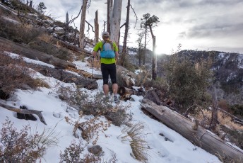
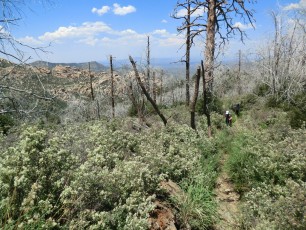
Right: Coming back up the upper section of the ridge on a winter day with snow on the trail. December 2013.
Resources
- HikeArizona – Red Ridge Trail
- [GuideYellowBook/]
- Posts on HikeLemmon.com:
- Canada del Oro, Red Ridge Loop – 5/1/2017
- Red Ridge, Catalina Camp, Oracle Ridge Trail Loop – 4/16/2017 and 4/19/2017
- Oracle Ridge, Catalina Camp, Red Ridge – 10/15/2015
- Oracle Ridge, Catalina Camp, Red Ridge Loop – 9/12/2014
- Oracle Ridge, Red Ridge Loop – 2014/7/28
- Night on the Red Ridge Trail – 2014/1/17
- Red Ridge to the CDO – 2013/12/28
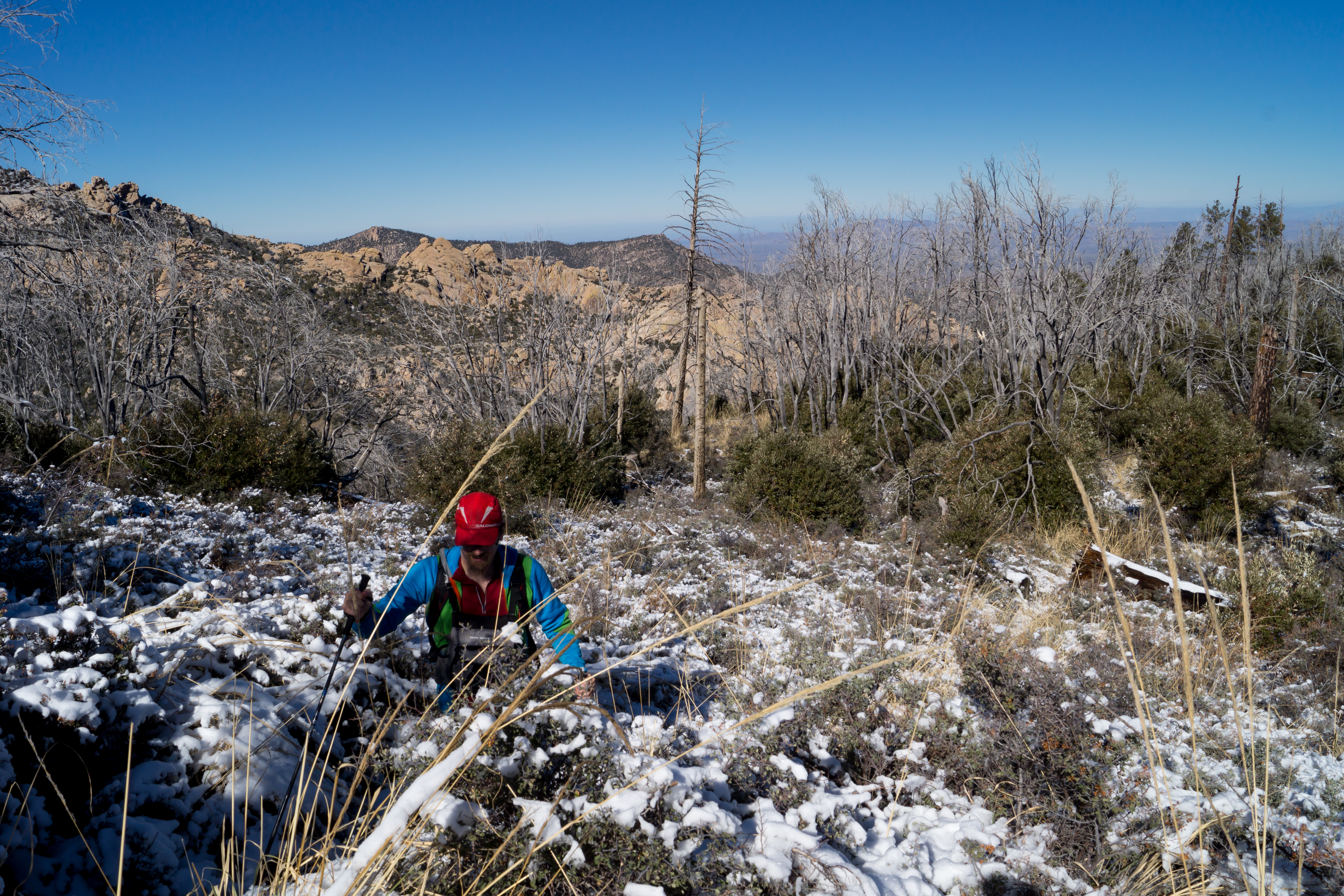
- Red Ridge Trail in the Snow – 2013/12/7
- Lost Hiker and Dog on the Red Ridge Trail
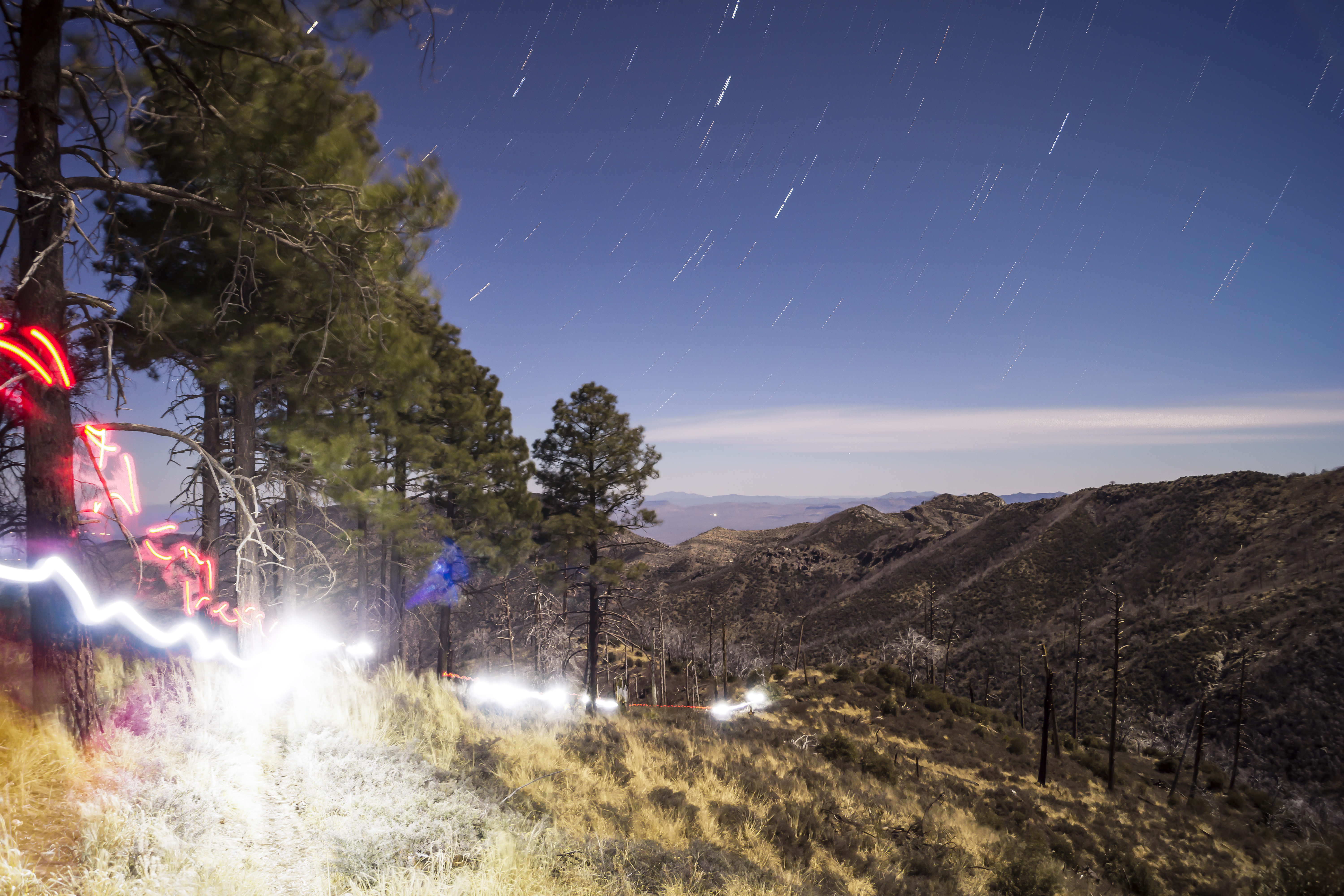
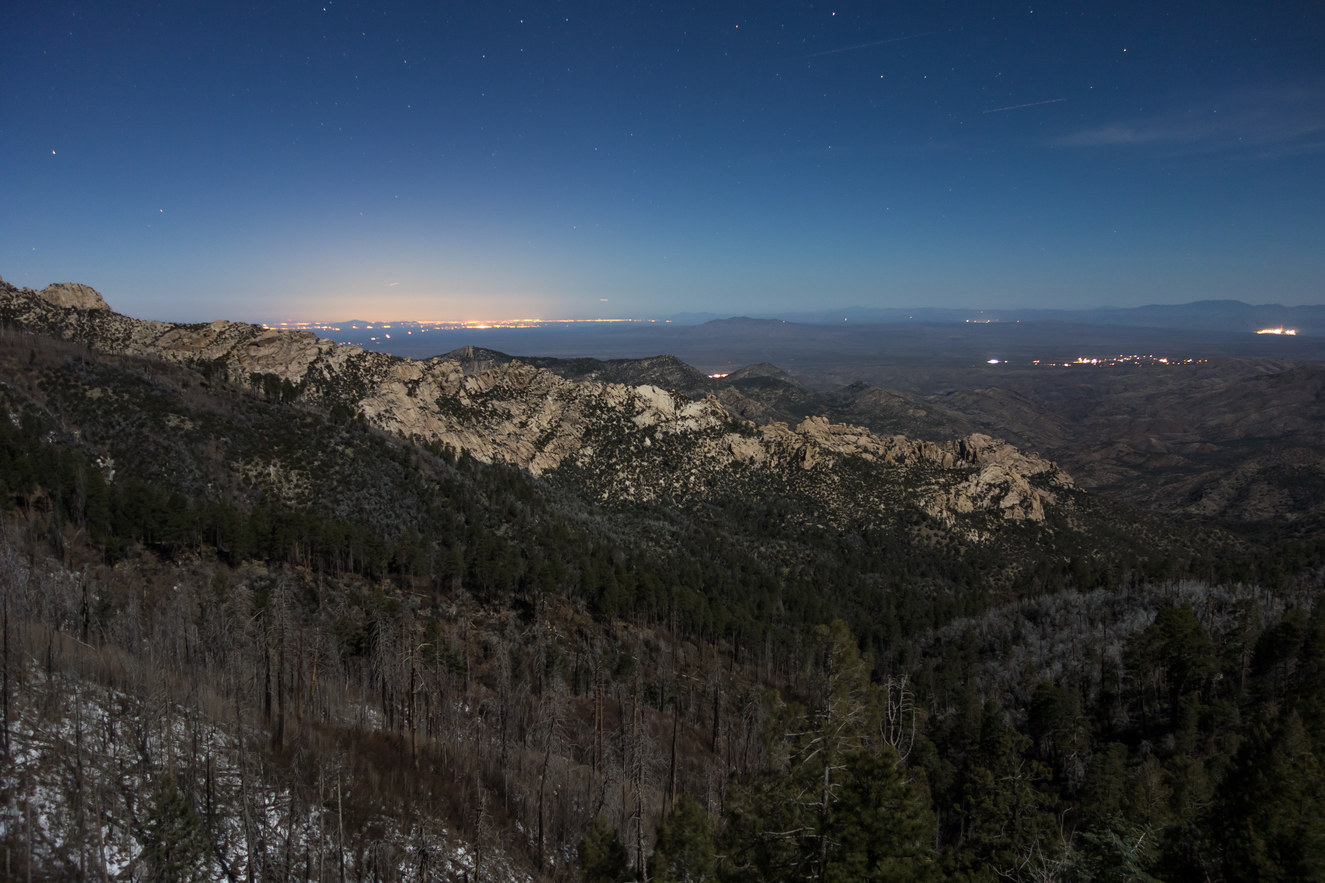
Right: East side of the Reef of Rock in the moonlight. January 2014.
Pictures
2017 May CDO Red Ridge
2017 April Oracle Ridge Red Ridge


2015 October Oracle Ridge Red Ridge Loop


2014 July Oracle Ridge Red Ridge Loop
2013 December Snowy Red Ridge Trail

2013 December Red Ridge to the CDO and Back
2013 September Red Ridge – Canada del Oro

2013 September Red Ridge – Oracle Ridge
2013 August Red Ridge Trail


2012 August Oracle Ridge Trail to Red Ridge Trail
2007 May Red Ridge Trail
Update Notes
- 2017/8/14 – Img Srcset update, Clean up resources list
- 2017/6/3 – Trail condition updates (largely the same but the trail thru the Aspen burn is in better condition and it appears the cattle in the area have been eliminated or at least reduced), new pictures, list of HikeLemmon posts, info from the 1924 AZ Daily Star, notes about the change of the Arizona Trail route (with some dates based on the Passage 12 info in the Wayback machine), small format updates
- 2014/6/20 – Format Update
- 2014/3/26 – Update format for WordPress, updated GPX and added waypoints to notes, fixed links.
- 2014/2/22 – Added elevation profile, increased map size
- 2014/1/27 – Added driving map and caution about weather
- 2014/1/19 – Slight overview format change/typo fix. Slight update to directions.
- 2014/1/18 – Changed pictures – added night shots, added facilities note.
- 2014/1/15 – First full version!