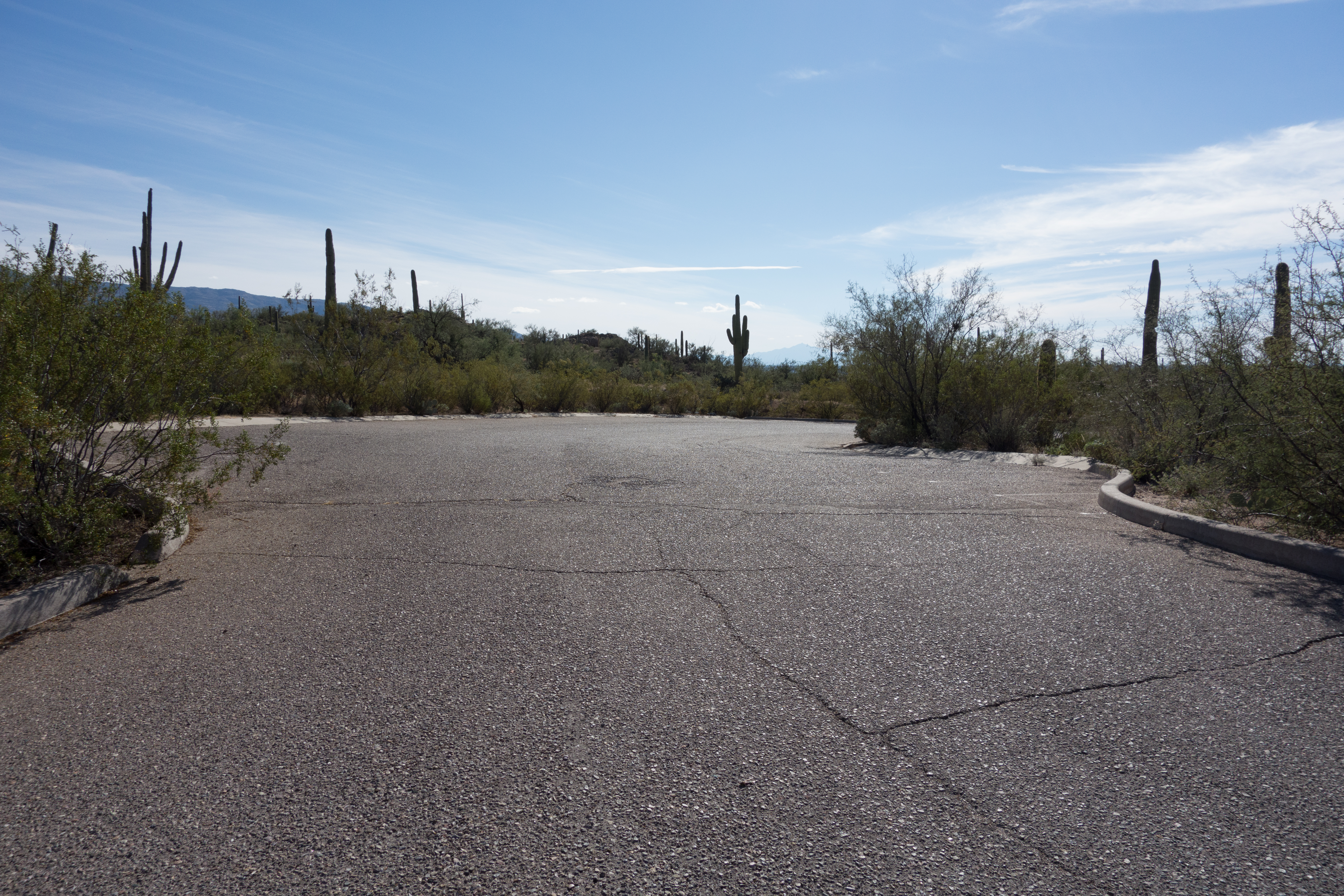
Paved parking at the Agua Caliente Hill South Trailhead. December 2014.
Overview
Location
- City's Edge Hikes - Santa Catalina Mountains - Southern Arizona
- Google Map Coordinates: 32.27426300 -110.71210000
- At This Trailhead: Agua Caliente Hill Trail
- Nearby Trailheads and Parking: Avenida de Suzenu Trailhead
Driving Time and Distance from Tucson
- 35 Minutes from Speedway and Campbell
- 15.9 miles from Speedway and Campbell
- Vehicle Access: Paved Roads/Passenger Car
Fees and Services
- Fee: No
- Restrooms: No
- Water: No
Additional Notes
- Open dawn to dusk.
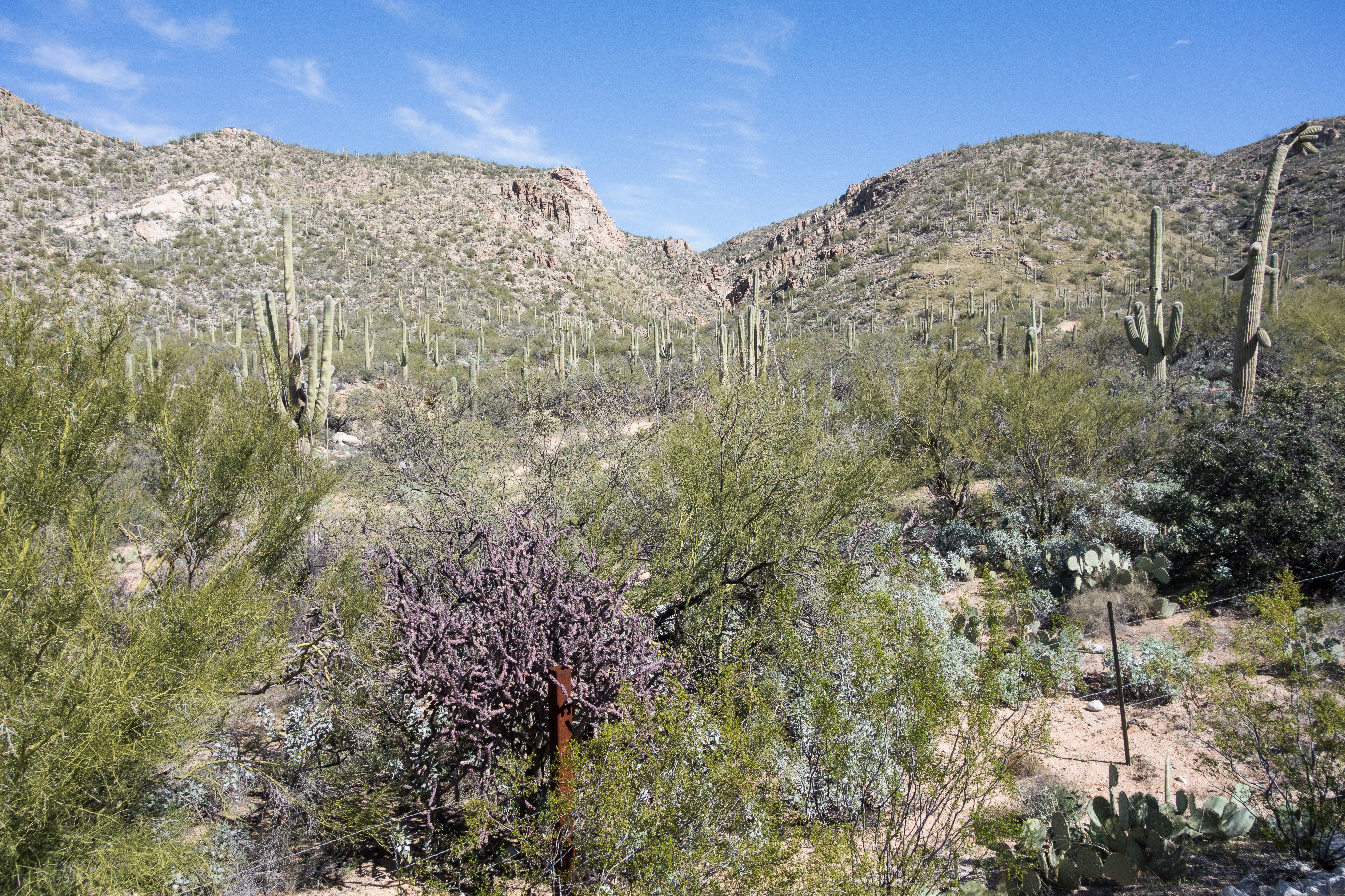
Left: View from the Agua Caliente Hill South Trailhead. February 2015.
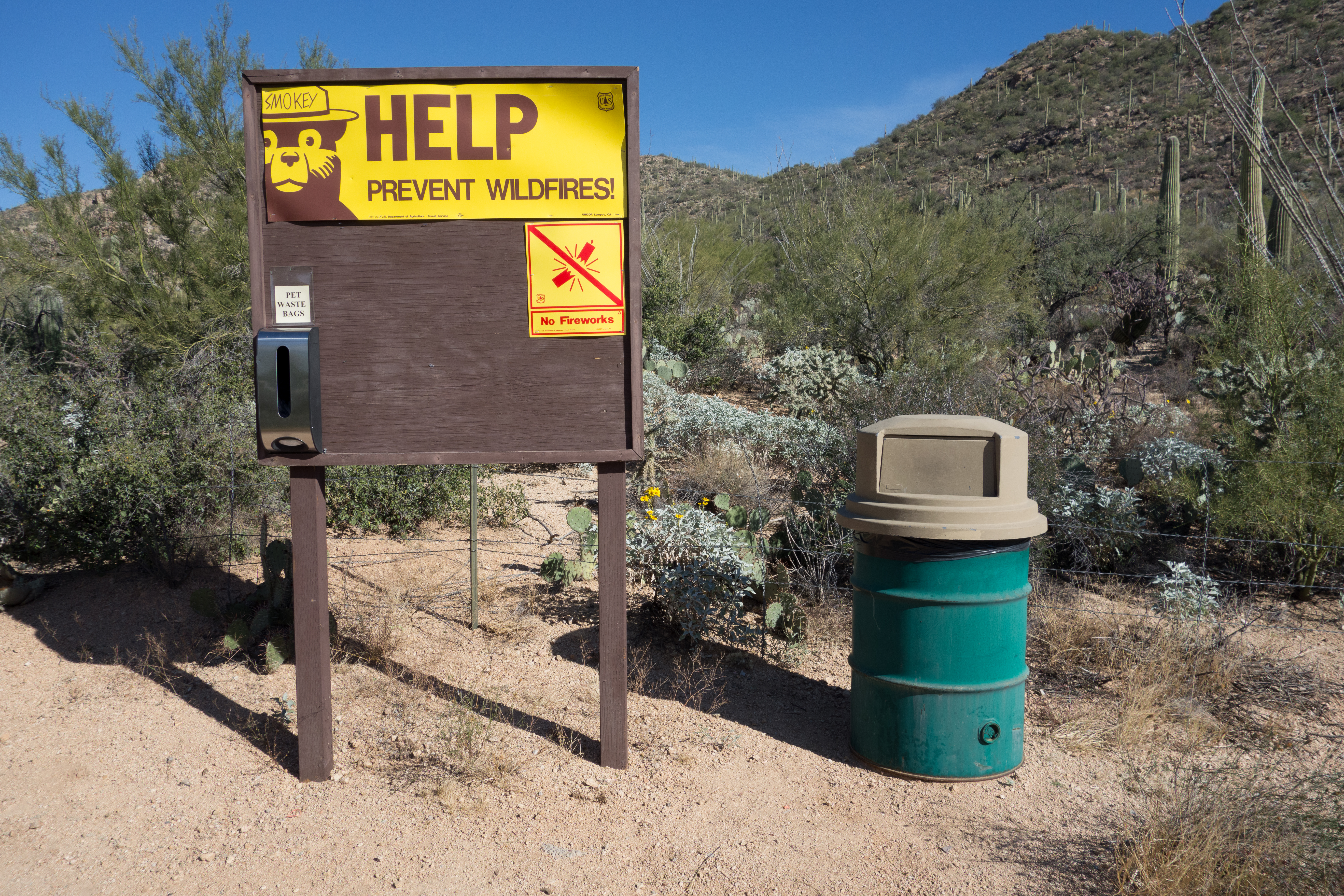
Right: Signs and trashcan at the start of the trail. December 2014.
Right: Signs and trashcan at the start of the trail. December 2014.
Driving Directions
Suggested driving directions from the Speedway and Campbell intersection in Tucson to the Agua Caliente Hill South Trailhead:
- East on Speedway (5.0 miles)
- Left on Wilmot and continue on Tanque Verde (7.9 miles)
- Left on Soldier Trail (1.0 mile)
- Right on Fort Lowell (1.0 mile)
- Continue onto Camino Ancho (0.3 miles)
- Turn left onto Camino Remuda (0.4 miles)
- Left on Camino Cantil (Note that there is not a street sign at this intersection (2/14/2015) - if the pavement ends and/or you reach a closed gate you have passed the turn onto Camino Cantil, turn around and look for a turn to the right.) (0.2 miles)
- The trailhead is on the right
Google Maps Directions from the Speedway and Campbell intersection in Tucson to Agua Caliente Hill South Trailhead.
Resources
All Trailheads - Map
Update Notes
- 2019/1/29 – Resources format update, tags update
- 2017/7/28 – Srcset Images, Trailheads Map