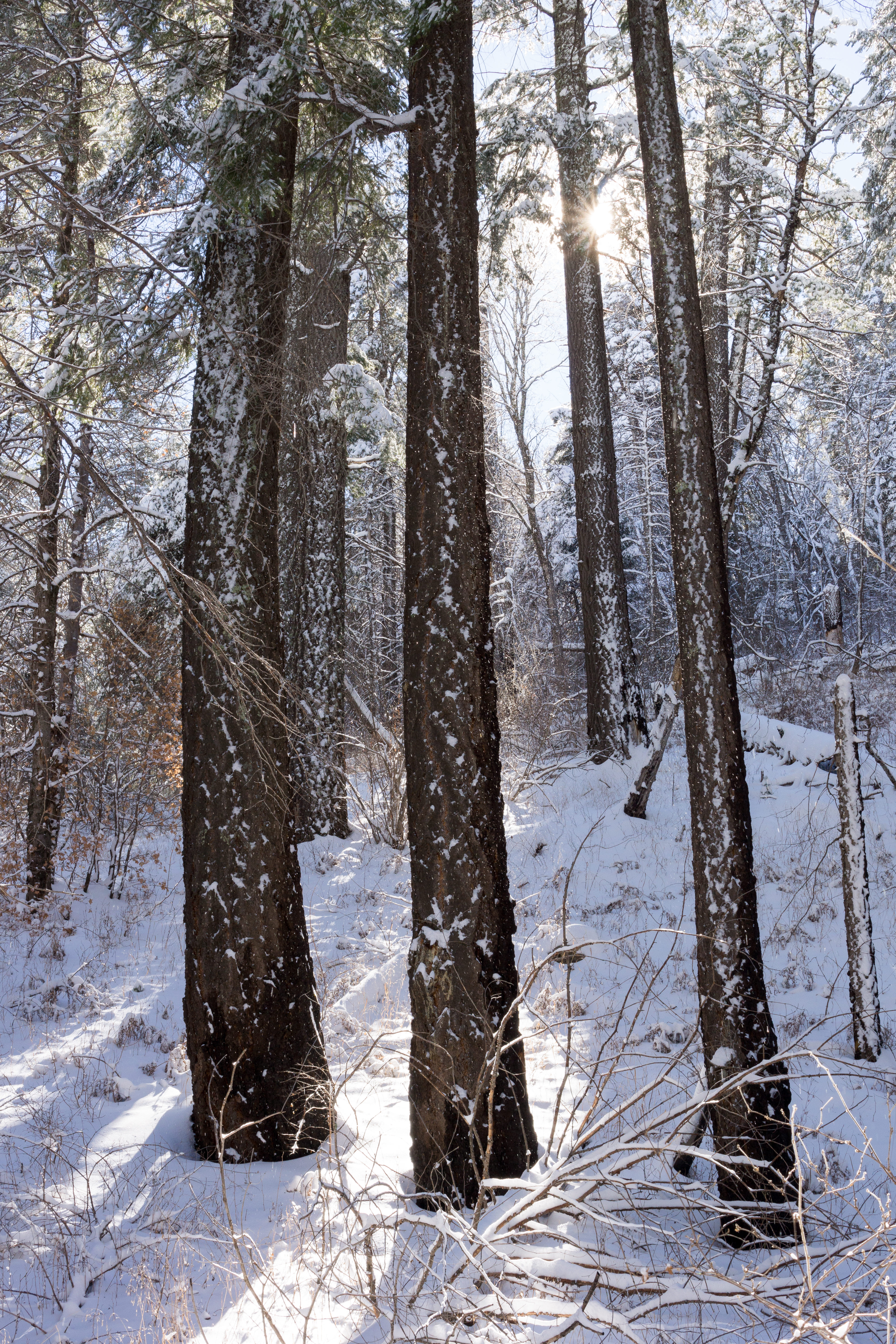
Right: Sun and snow on the Aspen Draw Trail. December 2014
Overview
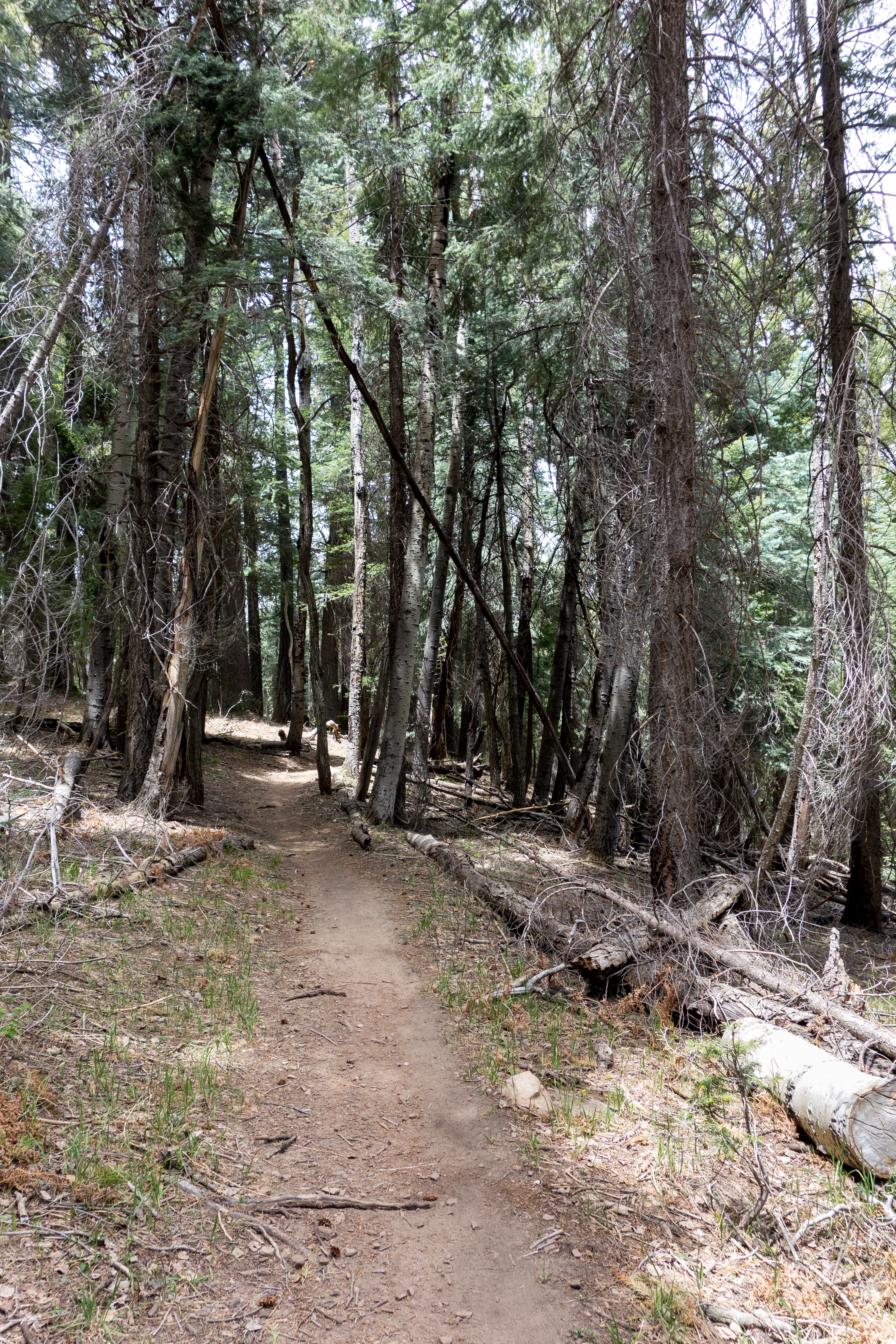
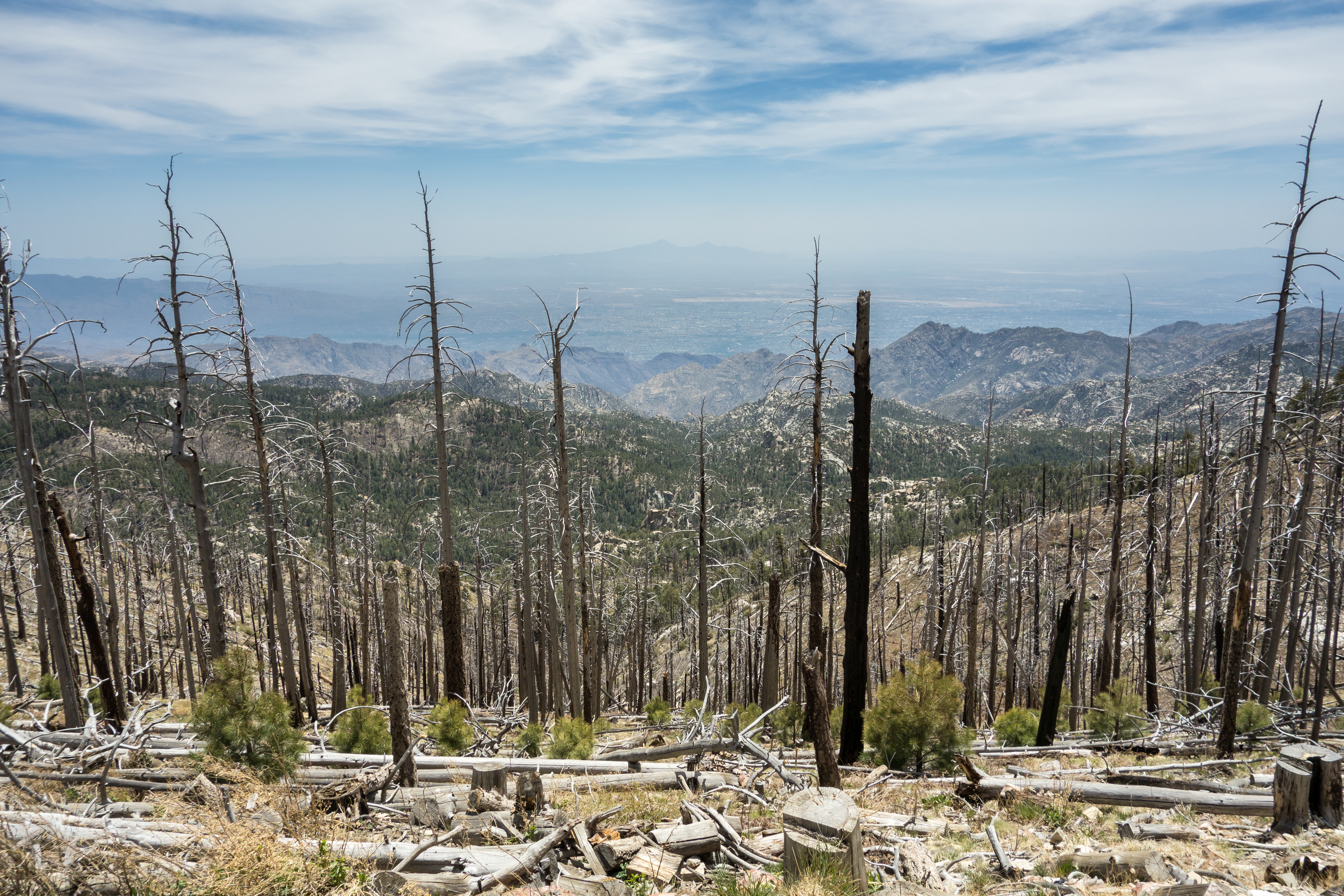
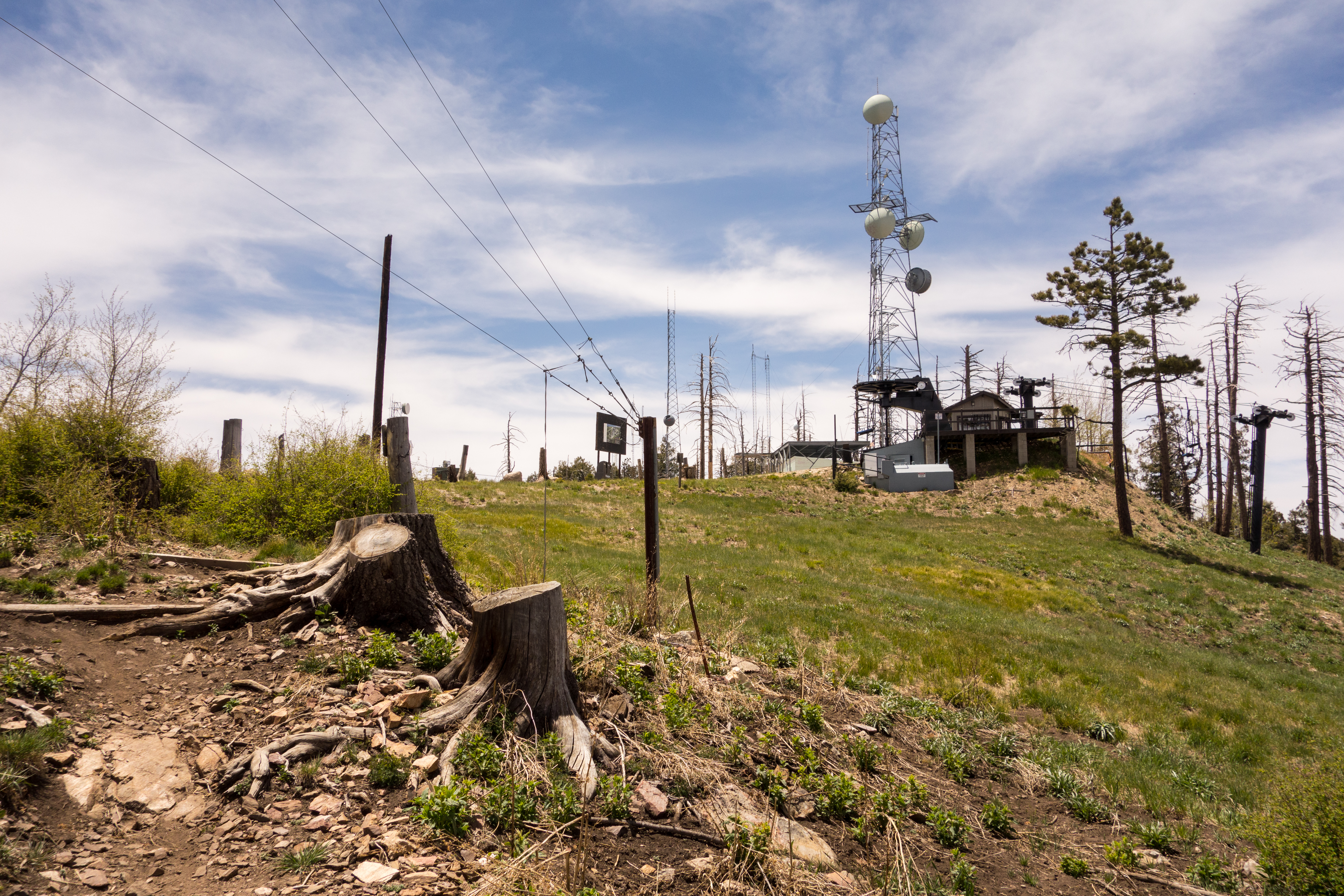
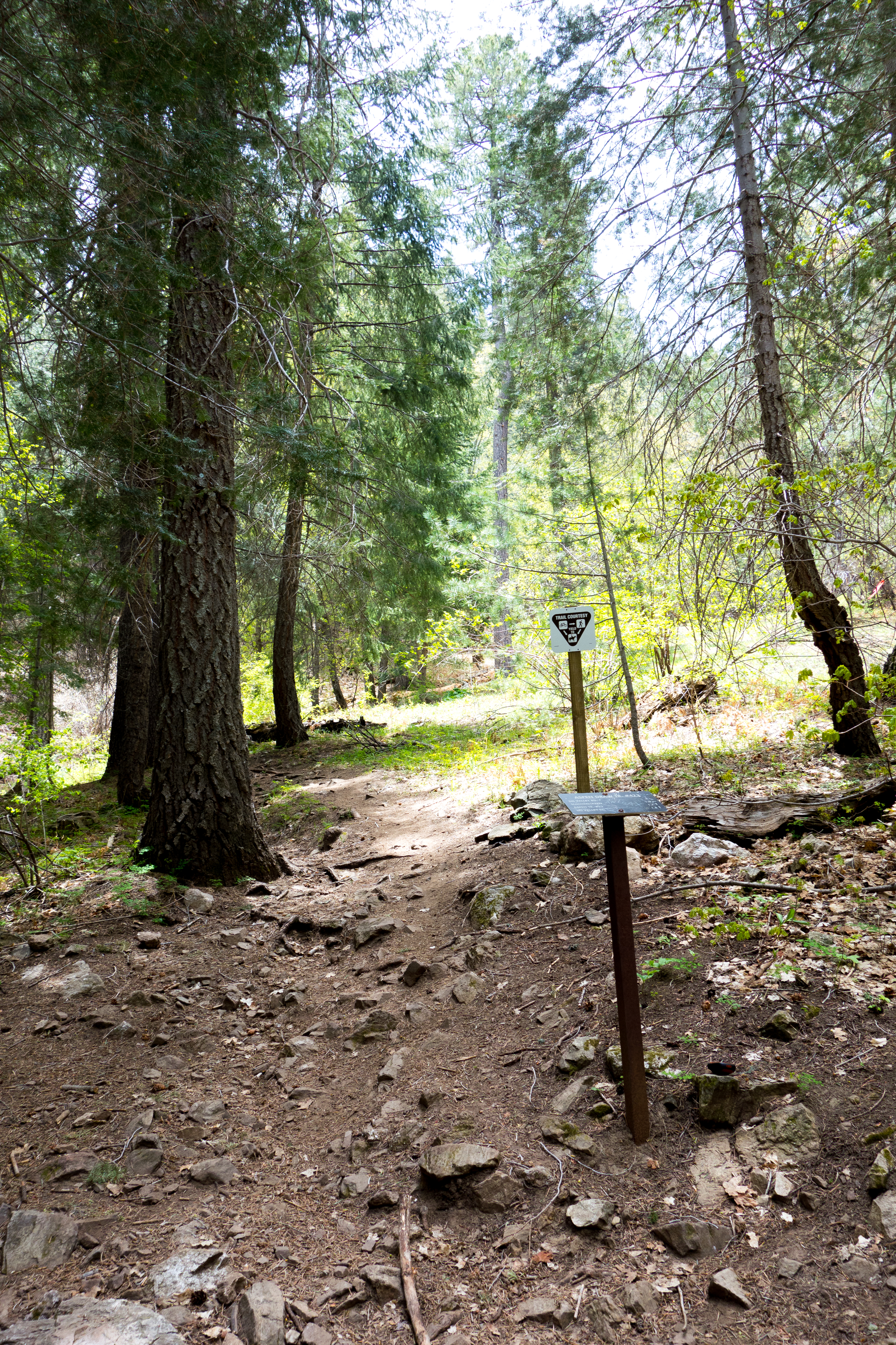
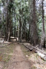
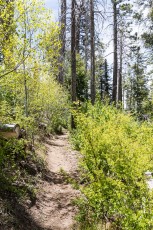
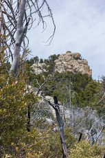
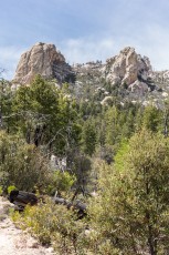
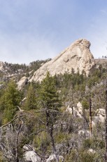
Fires in the early 2000s burned large areas of the mountain changing the terrain along sections of nearly every high elevation trail. The Aspen Draw Trail #423 is a bit of an exception – the trail starts in Summerhaven on Turkey Run Road and by the time the road transitions to trail the forest surrounding you feels much like it would have decades ago. The trail climbs steeply thru the forest eventually taking you onto Radio Ridge – enjoy the views!
Hike Stats
- Out and Back
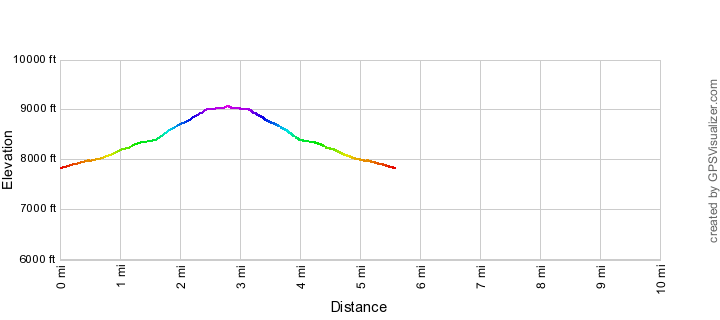
- 5.6 miles
- 1,350' Elevation Gain
- 1,350' Elevation Loss
- Highest Elevation: 9,050'
- Lowest Elevation: 7,800'
Location
- This hike is located in the Santa Catalina Mountains near Tucson, Arizona.
- Start/End: Summerhaven (Top of the Mountain Hikes)
Details
- Fee: No
- Dogs: Yes
- Bikes: Yes
Drive
- 38.7 miles from Speedway and Campbell
- 1 Hour and 20 Minutes from Speedway and Campbell
- Vehicle Access: Paved Roads/Passenger Car (Mountain Road - be careful of weather conditions!)
Aspen Draw Trail Elevation Profile
Driving Directions
Suggested driving directions from the Speedway and Campbell intersection in Tucson to the Summerhaven:
- Drive East on Speedway (5.0 miles)
- Left on Wilmot and continue on Tanque Verde (4.3 miles)
- Left on Catalina Highway (29.3 miles)
- Continue into Summerhaven on Sabino Canyon Parkway and find parking in Summerhaven - the most convenient parking is in the set of paved/striped spots on the west side of the road after passing Turkey Run Road (trying to park in Summerhaven on a busy/beautiful weekend day may be challenging).
Google Maps Directions from the Speedway and Campbell intersection in Tucson to Summerhaven.
Trail Notes
[CueListWarning]
- 0.0 miles, 7850′: Start from the intersection of North Sabino Parkway and Turkey Run Road and follow the paved road west (note that at this intersection the road to the west may be labeled ‘Bowie Street’ on some maps, but the street sign currently says Turkey Run Road) [Waypoint scp-trr]
- 0.45 miles, 8050′: The pavement ends, the road turns to dirt and there is a (locked) gate blocking the road [Waypoint ad01] – pass the gate and follow the road. There is a small trail that parallels the stream on the south side and several well used trails that cross over to it – this description/map follows the (more obvious) Turkey Run Road.
- 1.0 miles, 8150′: Turkey Run Road ends/narrows and merges in with the trail on the south side of the stream. [Waypoint ad02]
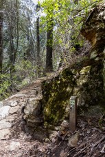
- 1.2 miles, 8250′: Signed junction with a path to Ski Run Road [Waypoint J AD SrSpur]. From here the trails begins to climb and switchback up to Radio Ridge.
- 2.45, 9050′: Signed junction of the Aspen Draw Trail and Cap Rock Trail Road/Forest Road 18 [Waypoint fr18-ad]. This is the official end of the Aspen Draw Trail – from here you could take the Aspen Draw Trail back down, but you might want to consider looping back to Summerhaven via one of the other trails in this area.
To continue to the Aspen Trail:
- Turn left and follow the dirt road southeast 0.1 miles to the signed start of the Aspen Trail [Waypoint apend].
To continue to the Mount Lemmon Recreation Area for the Meadow Trail, Mt. Lemmon Trail, Lemmon Rock Trail:
- Turn right and follow the dirt road west.
- 2.65 miles, 9050′: Pass by a gate and into the Summit Trailhead – [Waypoint ths]. Take a trail that leaves from the west edge of the parking area [Waypoint sumcon-srr].
- 2.8 miles, 9100′: Reach the Mount Lemmon Recreation Area [Waypoint mlra] – from here you can continue on to the Meadow Trail, Mt. Lemmon Trail or Lemmon Rock Trail.
Along the Aspen Draw Trail you may notice old numbered wooden markers – in Suzanne Hensel’s Look to the Mountains, An in-depth look into the lives and times of the people who shaped the history of the Catalina Mountains there is some information about the markers:
“Numbered markers were placed along the trail. Every Saturday and Sunday, a Forest Service employee gave guided tours from the chair lift to the bottom. After the first year, brochures were placed in a box where the trail begins…the Forest Service, forced to cut back on employees, hasn’t provided guided tours or brochures for over a decade.”
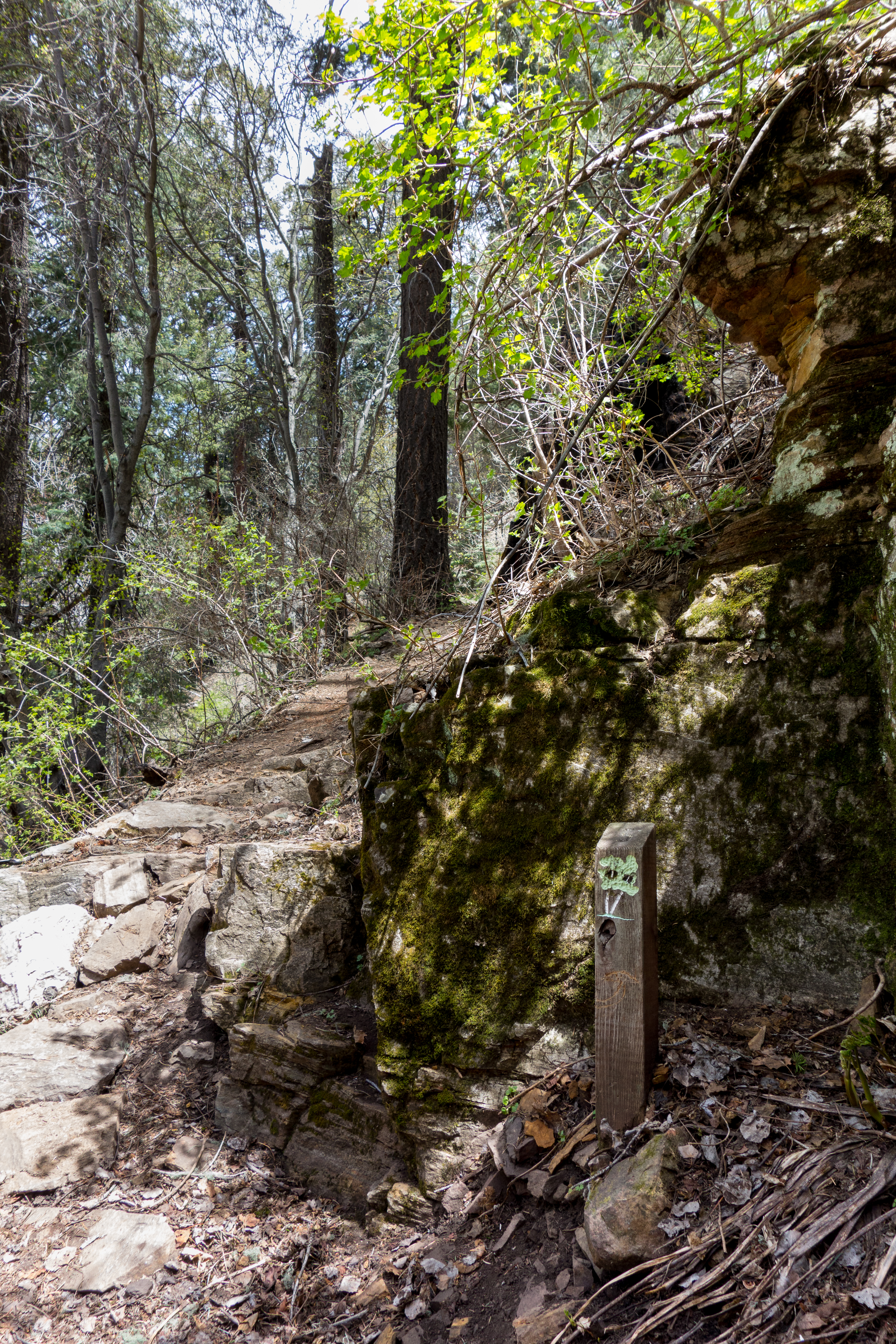
Right: Trail sign at the junction for the trail to Ski Run Road. May 2014.
Resources
- HikeArizona.com
- SONORAN DESERT MOUNTAIN BICYCLISTS
- [GuideYellowBook]
- Posts on HikeLemmon.com:
Pictures
2014 May Aspen Draw and Lemmon Rock Trails
Update Notes
- 2017/8/15 – Add HikeLemmon posts to Resources
- 2017/8/8 – Update gpx an description for the Summit Trailhead and Mount Lemmon Recreation Area signs/configuration at the top of the mountain
- 2017/7/28 – Img Srcset update
- 2014/12/24 – Added new snow picture, fixed typo in page and PDF, small description change
- 2014/10/25 – Fixed small typo and added description information to PDF Map
- 2014/10/14 – Small GPX update, improved directions, added PDF map
- 2014/10/11 – Added info from Look to the Mountains about the markers
- 2014/5/16 – Layout update
- 2014/5/10 – Initial page