Overview
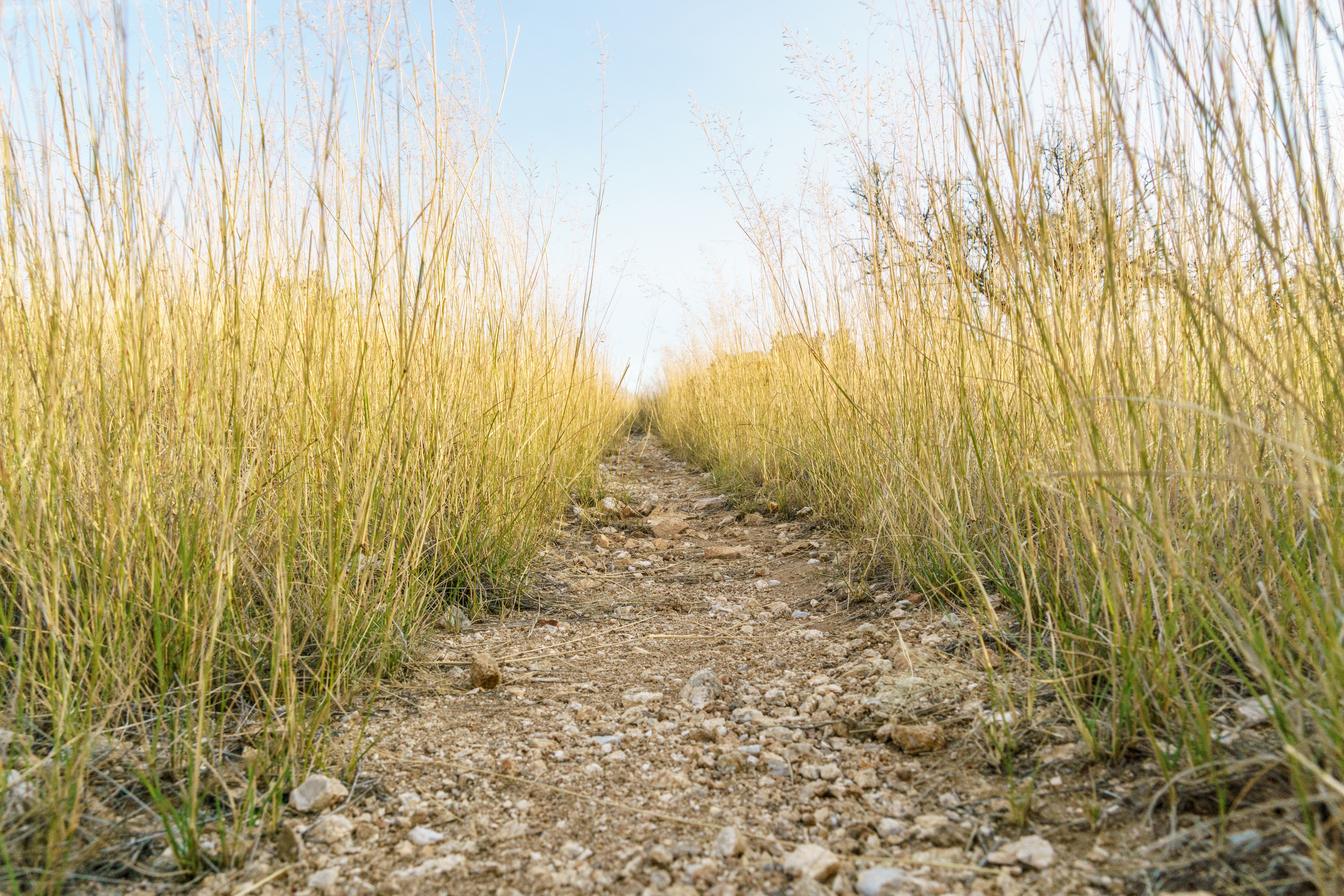
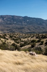
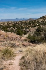
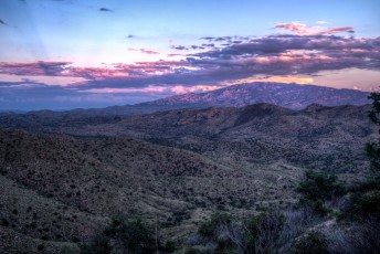
The Bellota Trail spends most of its miles on rolling grassy hillsides, a bit different than many Santa Catalina trails, with interesting views of the Redington Pass area and surrounding mountains. Part of the Arizona Trail the Bellota Trail lacks any major peaks or canyons – but does provide a direct trail link from the Santa Catalina Mountains to the Rincon Mountains.
Hike Stats
- One-way
- 10.6 miles
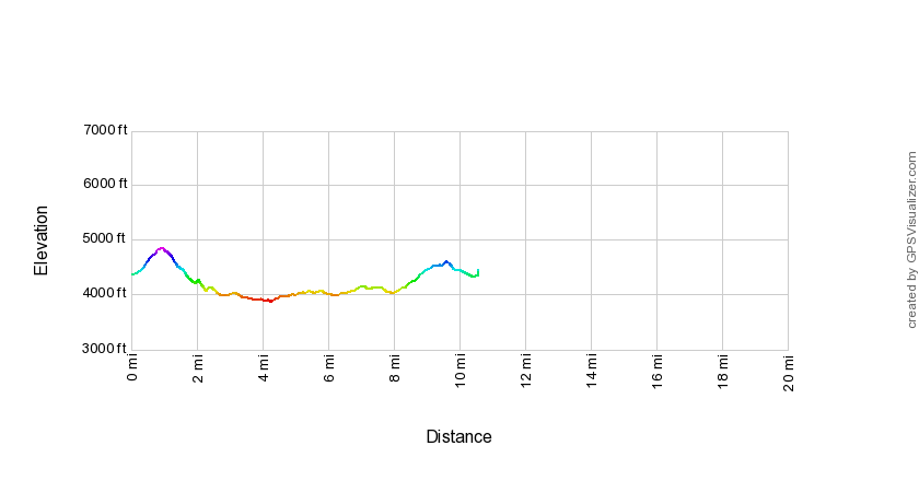
- 1,900' Elevation Gain
- 1,800' Elevation Loss
- Highest Elevation: 4,850'
- Lowest Elevation: 3,875'
Location
- This hike is located in the southern section of the Santa Catalina Mountains northeast of Tucson, Arizona.
- Start: Molino Basin Parking Area (Lower Highway Hikes)
- End: Italian Spring Trailhead (Bellota Trail)
Details
- Fee (Start): Yes (No fee for some uses - there are a limited number of free parking spaces for the hikers using the Arizona Trail (Molino Basin Trail and Bellota Trail))
- Fee (End): No
- Dogs: Yes
- Bikes: Yes
- The distances, elevations and description for this hike are for a one-way hike with a car shuttle or swap (key exchange)!
- Part of the Arizona Trail
Drive
- To the start:
- 19.5 miles from Speedway and Campbell
- 40 Minutes from Speedway and Campbell
- Vehicle Access: Paved Roads/Passenger Car (Mountain Road - be careful of weather conditions!)
- To the end:
- 27.0 miles from Speedway and Campbell
- 1 Hour and 20 Minutes from Speedway and Campbell
- Vehicle Access: The Coronado National Forest Website says "suitable for passenger vehicles in all but the worst weather" - while that may be technically accurate Redington Road is a rough ride in a standard passenger car, the Saguaro National Park description may be more helpful: "While the gravel portion of Redington Road does not require 4-wheel-drive, high clearance is recommended as it is not regularly maintained and is usually in poor condition" (6/26/2016).
Bellota Trail Elevation Profile

Driving Directions
To the start:
Suggested driving directions from the Speedway and Campbell intersection in Tucson to the Molino Basin Parking Area:
- Drive East on Speedway (5.0 miles)
- Left on Wilmot and continue on Tanque Verde (4.3 miles)
- Left on Catalina Highway (10.1 miles)
- Signs will help you find the turn into this trailhead and campground. This area is a fee area ([LemmonFeeCostAndLink]) - but there are a number of clearly signed free parking spaces for Arizona Trail users.
Google Maps Directions from the Speedway and Campbell intersection in Tucson to Molino Basin Parking Area.
To the end:
Suggested driving directions from the Speedway and Campbell intersection in Tucson to the Italian Spring Trailhead:
- North on Campbell Avenue (1.0 mile)
- Right on Grant Road (5.6 miles)
- Left on Tanque Verde Road - Tanque Verde becomes Redington Road, after several miles the the pavement ends. Look for the green mile markers along the road, the Italian Spring Trailhead is on the right after Mile Marker 12 (20.6 miles)
Google Maps Directions from the Speedway and Campbell intersection in Tucson to Italian Spring Trailhead.
Car shuttle:
At over 20 miles for a complete out and back and with no good options for a loop this hike is described as ‘one-way’ which will require either a long car shuttle from the Italian Spring Trailhead back to the Molino Basin Parking Area (directions) or a car swap/key exchange.
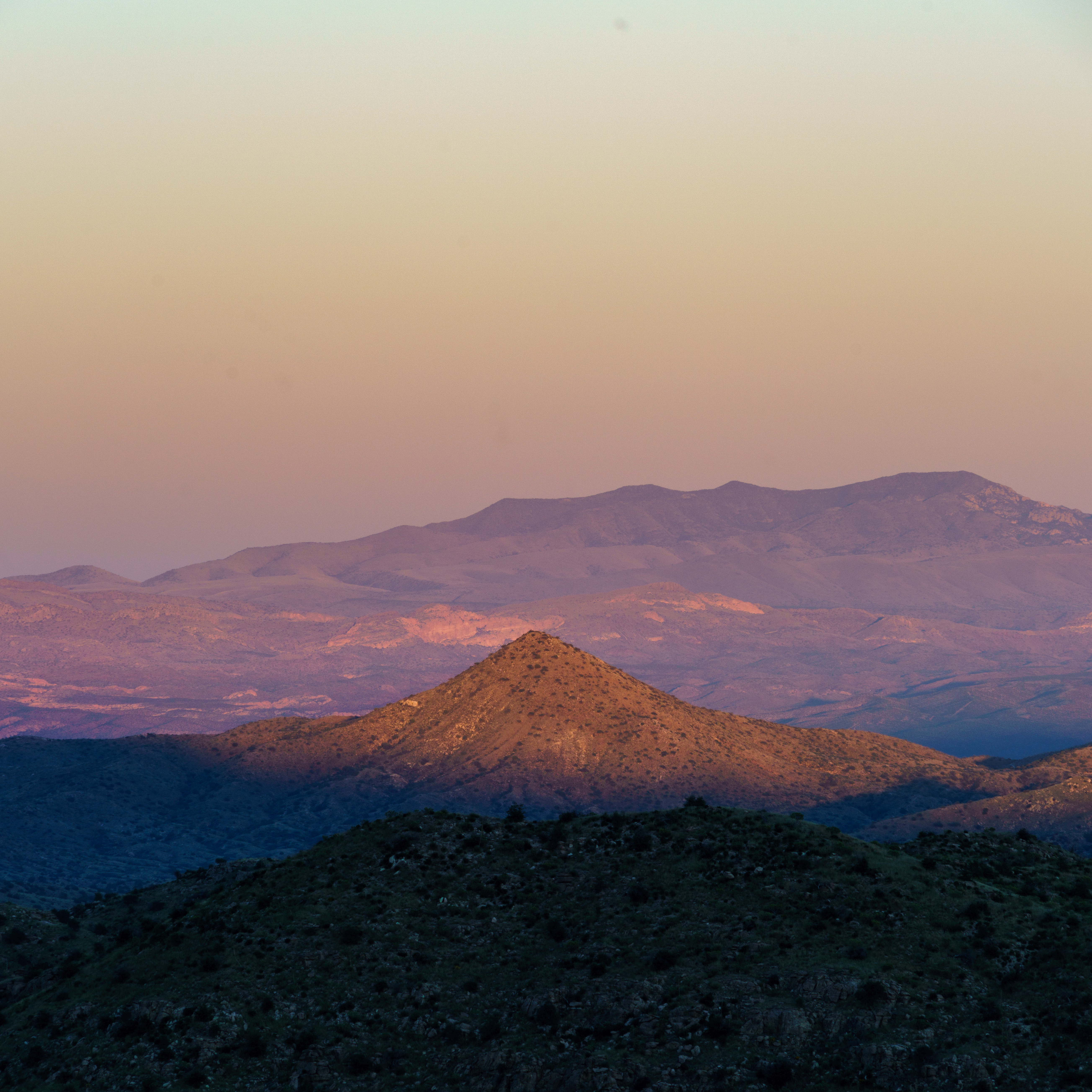
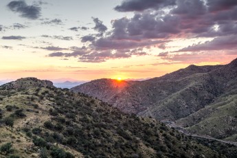
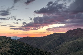
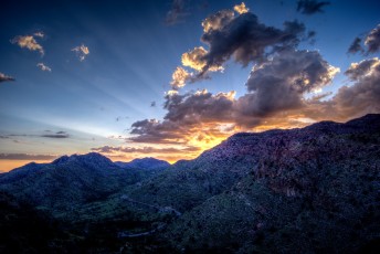
Right: Sunset light on Piety Hill. October 2016
Trail Notes
[CueListWarning/]
- 0.0 miles, 4350′: Park in the Molino Basin Parking Area 5.6 miles up the General Hitchcock Highway [Waypoint thmb].
- The trail starts from the east side of the parking area (the side closest to the highway) and crosses the highway via the crosswalk.
- Pass a large Arizona Trail sign and cross Molino Canyon before starting the climb to the ridge (before the Molino Canyon crossing avoid an unofficial route up Molino Canyon that leaves to the left)
- 0.9 miles, 4850′: The climb ends at a fence on the ridgeline [Waypoint bl01] and then makes a steep descent
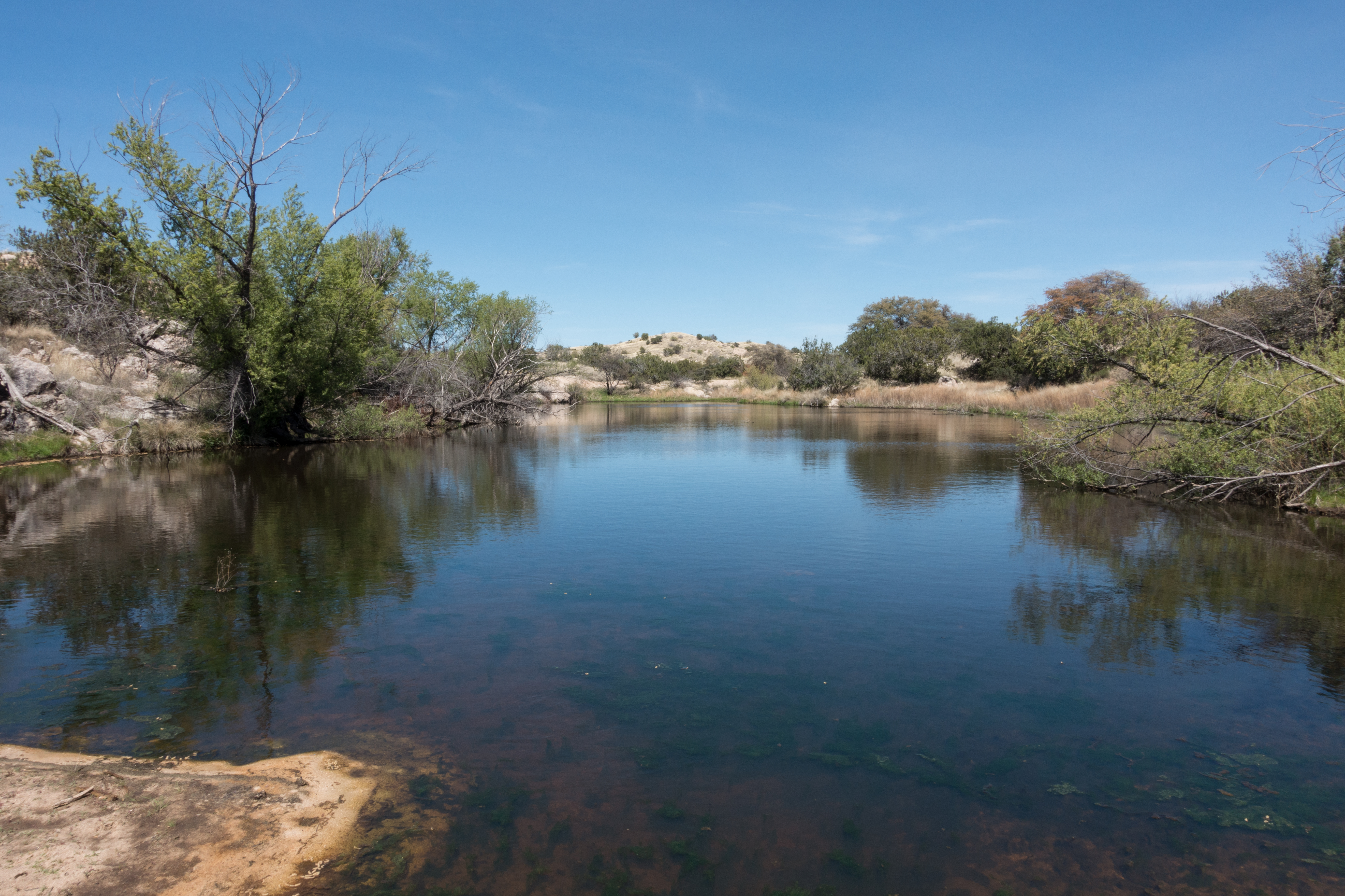
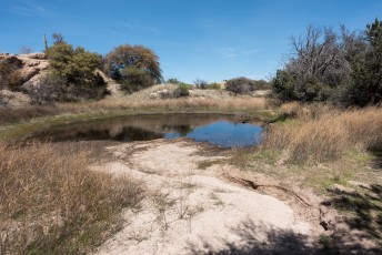
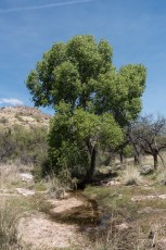
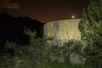
- 2.3 miles, 4050′: Large tank below West Spring [Waypoint bl02] – in some seasons there is water here… After leaving the tank the trail parallels La Milagrosa Canyon
- 2.9 miles, 4000′: The trail reaches the unsigned junction with the La Milagrosa Trail [Waypoint bl-lmg] (on the right), this junction is often marked with a large cairn and is just before several obvious campsites on the left. After this junction continue along Forest Road 36A.
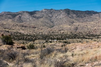
- 4.1 miles, 3900′: The trail leaves FR36A to the right at a junction with several Arizona Trail markers and makes a quick descent to Agua Caliente Canyon before working up and thru the hillsides south of the Bellota Ranch Headquarters.
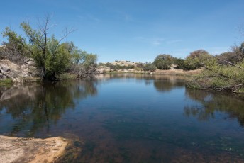
- At 5.1 miles cross a fence and at 6.2 miles pass Arizona Trail signs for The Lake Trailhead – after the signs the trail follows a short stretch of sandy wash to FR36. Water can sometimes be found near the Arizona Trail Signs (there is a larger pool nearby that maybe another option – to reach it leave the trail when it reaches the sandy wash and walk the wash to the left to reach ‘The Lake’.
- 6.3 miles, 3990′: The trail reaches Forest Road 36 [Waypoint thtl] – head left/north on the road, the trail quickly leaves FR36 to the right at a signed junction [Waypoint bl04]
- From FR36 the trail climbs across hillsides and ridgelines until topping out near Point 4622 (a short walk from the trail with nice views!) and then descending towards Redington Road
- 10.6 miles, 4400′: The trail ends at the Italian Spring Trailhead on Redington Road
This hike is listed here as one-way. There are no good trail loops if you want to hike the entire trail so the options are an out-and-back with over 20 miles of hiking/running or a car shuttle. The car shuttle involves not only quite a bit of driving but also miles of rough dirt road – although it is more complicated to organize this hike is a good candidate for a ‘key swap’ with groups starting at both trailheads – a nice way to avoid the long drive between trailheads!

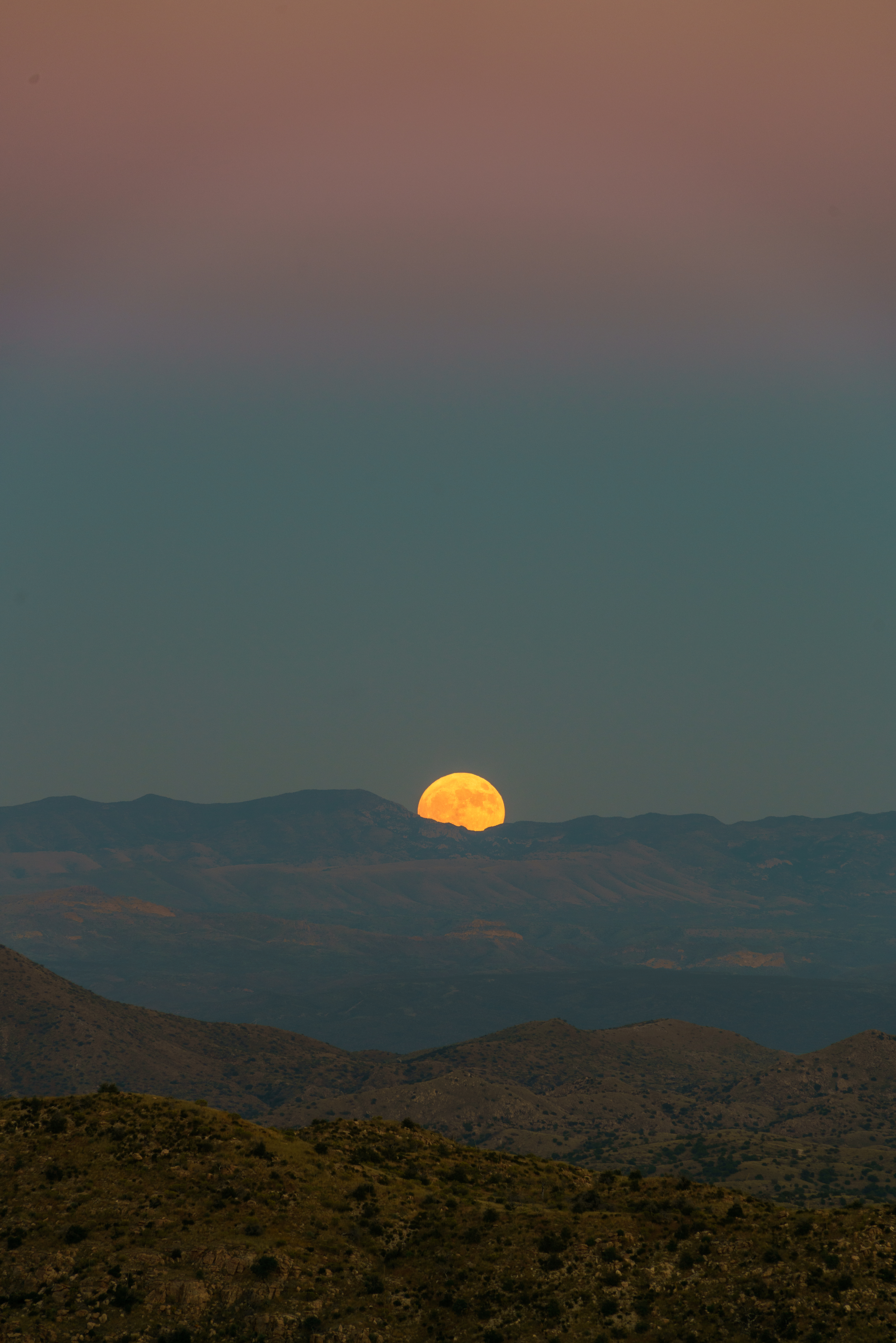
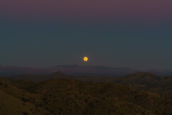
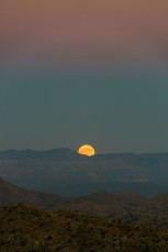
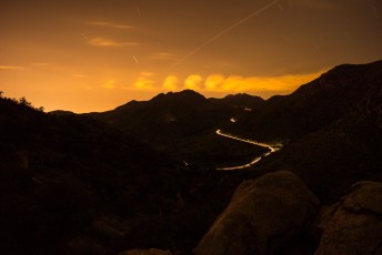
Right: A Hunter's Moon rising over the Galiuro Mountains from just off the Bellota Trail on the ridge above Molino Basin. October 2016
Resources
- HikeArizona
- Sirena’s Wanderings – Summertime Night Hike
- MTBProject – Arizona Trail: Bellota
- Sonoran Desert Mountain Bicyclists – Molino Basin to Italian Trap – AZ Trail
- Posts on HikeLemmon.com:
- Bellota Trail, Molino Basin to Redington Road – 3/26/2017
- Fall Colors on the Bellota Trail – 10/15/2016
- Hunter’s Moon – 10/15/2016
- Grant Details – 10/13/2016
- Molino Basin to Agua Caliente Hill – 10/31/2015
- Prison Camp to Avenida de Suzenu – Molino Basin, Bellota and La Milagrosa Trails – 2/4/2015
- Molino Basin to Agua Caliente Hill – 12/7/2014
- Point 5166 South of the Bellota Trail, 10/25/2014
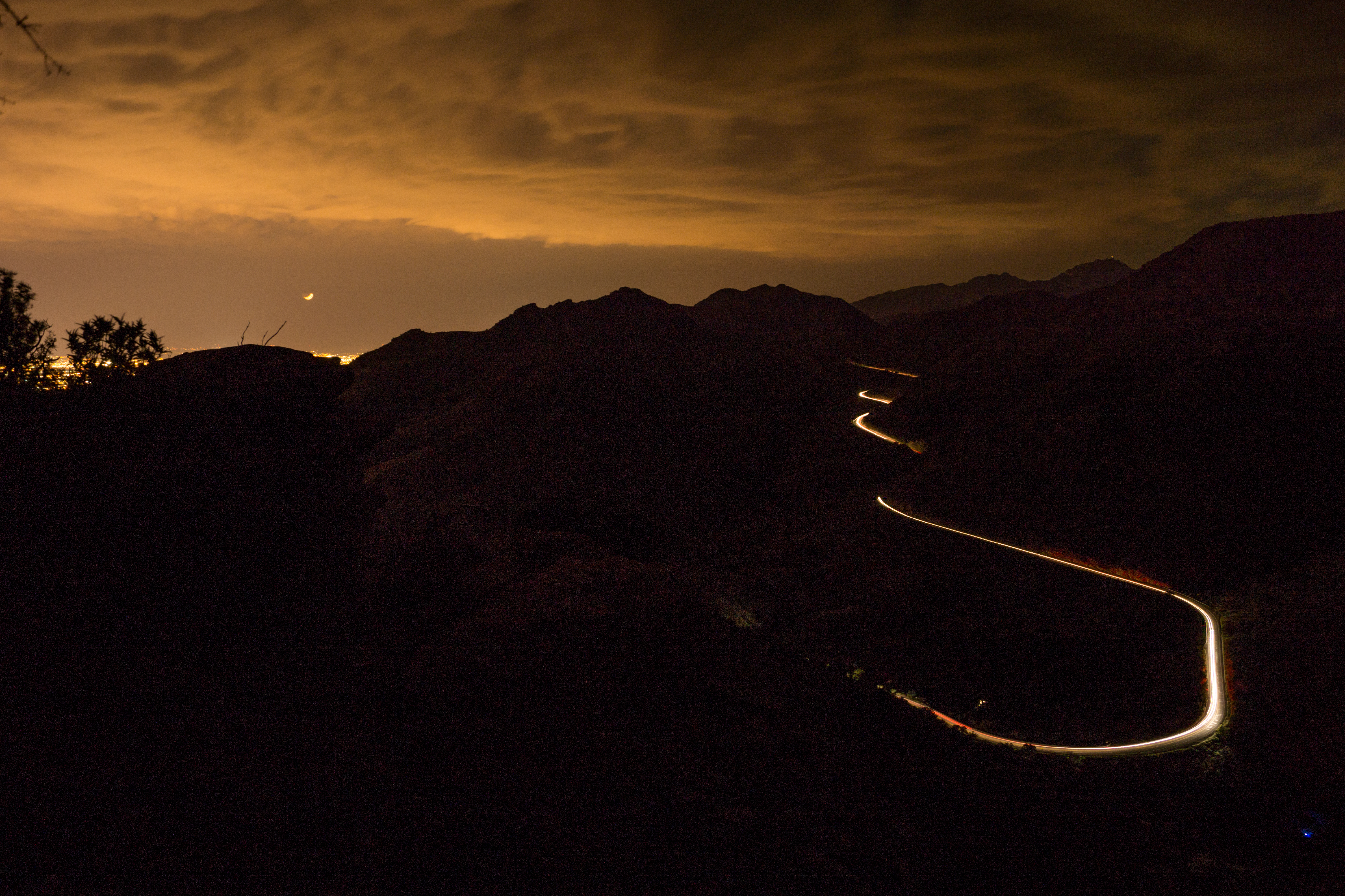

Right: A visitor to a night hike on the Bellota Trail. October 2014
Pictures
2017 March Bellota Trail

2016 October Hunters Moon Bellota Trail


2014 October Point 5166 Above the Bellota Trail


2013 August Bellota Trail

Update Notes
- 2017/8/15 – HikeLemmon posts added to Resources
- 2017/7/29 – Img Srcset update
- 2017/4/2 – First Full Version