Redington Road – flooded and closed. February 2019.
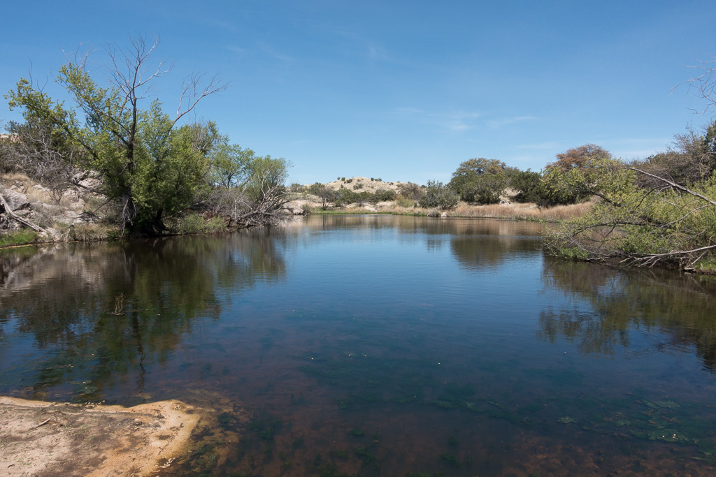
Most of the time driving across the sandy bed of the San Pedro River on Redington road is a complete non-event, easy to miss, and the occasional road closures in the area are a bit of a mystery until you see San Pedro River flowing and the road underwater… Another beautiful result of our wet winter!
I had hoped to see a ribbon of water trickling towards the San Pedro at the mouth of Edgar Canyon – but, driving across, nothing… A bit up-canyon where the gas line road cuts down into the canyon – still dry… Finally, 20 or 30 minutes up-canyon, water appears – not rushing or filling the canyon wall to wall, but a steady clear flow slightly sunken into the gravel.
Farther up canyon I loop up above the canyon to see the line of Sycamores, look for flowers and then wander into long shadows before returning down canyon and making the long drive home.
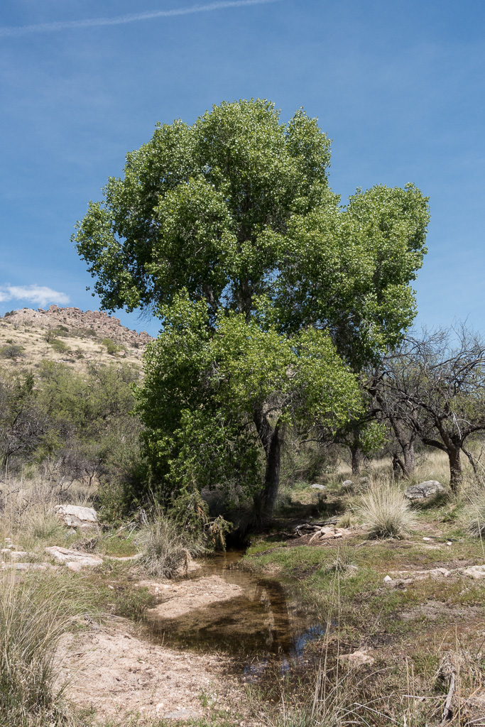
Water in Edgar Canyon. February 2019.Looking down Edgar Canyon as it heads towards the San Pedro with Bassett Peak in the background. February 2019.A narrow section of side canyon. February 2019.Crow Poison. February 2019.Red Maid. February 2019.Shadows. February 2019.
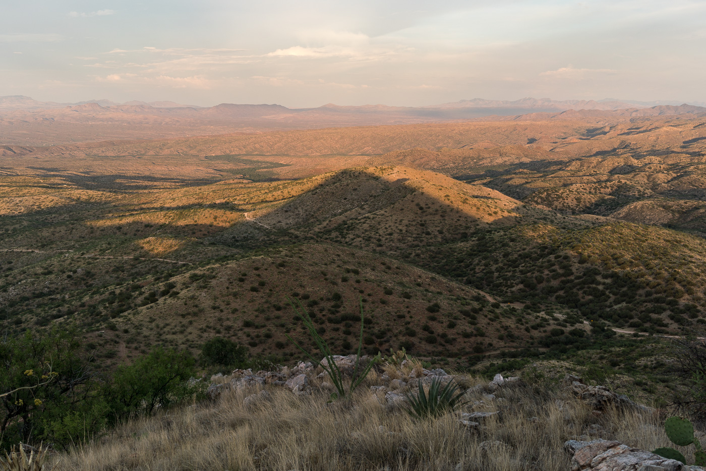
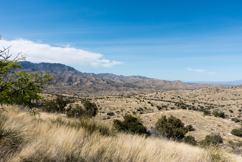
Redington Road had been closed since the start of July due to the Burro Fire – on the first day that it re-opened I drove out along the fire perimeter and hiked to the top of Piety Hill. The Burro Fire was stopped west of Piety Hill and in the sunset light it was hard tell where the Burro Fire burned – I am sure that there are areas that were heavily impacted by the fire but from Piety Hill I can still see green trees and grass below.
Piety Hill’s shadow towards the San Pedro Valley. July 2017.
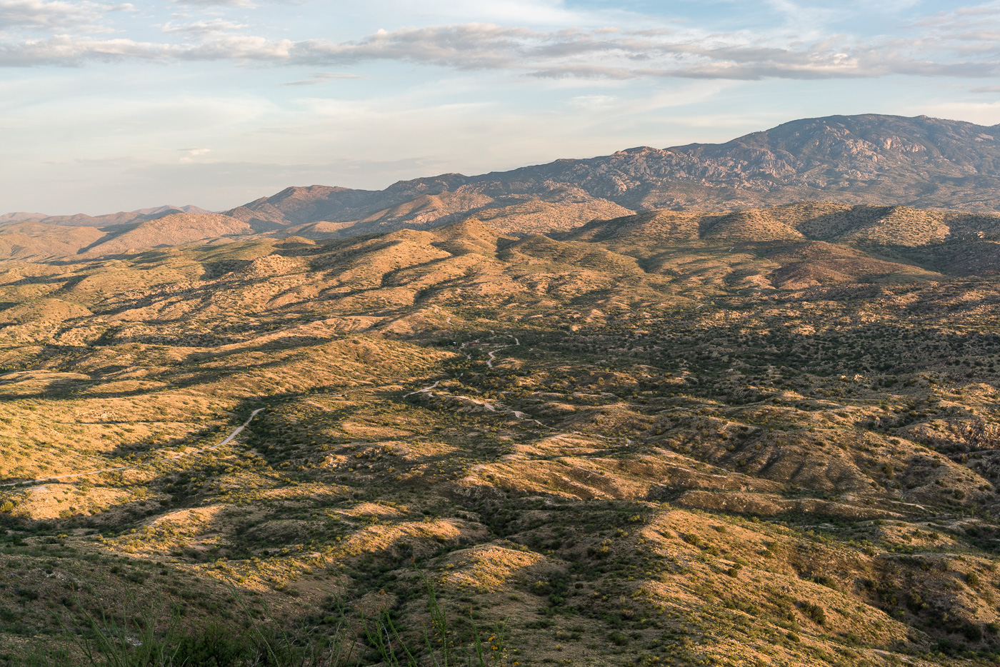
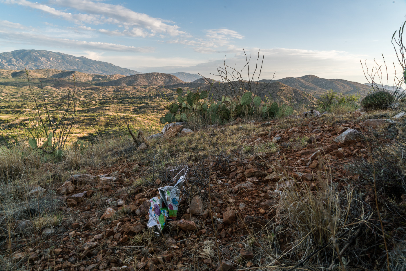
Piety Hill is located on Pima County’s A7 Ranch – at 4,714′ it is not stunning high (‘Hill’ is the right name) – but it is high enough to overlook the San Pedro Valley and offer great views of the surrounding terrain! There is no official trail to the top, but the terrain, while steep, is reasonably open and it is not hard to find a way to the top.
Looking up into the Santa Catalina Mountains from Piety Hill – Mount Bigelow on the left, Westfall Knob in the center. July 2017.Balloon Trash on the slopes of Piety Hill. July 2017.
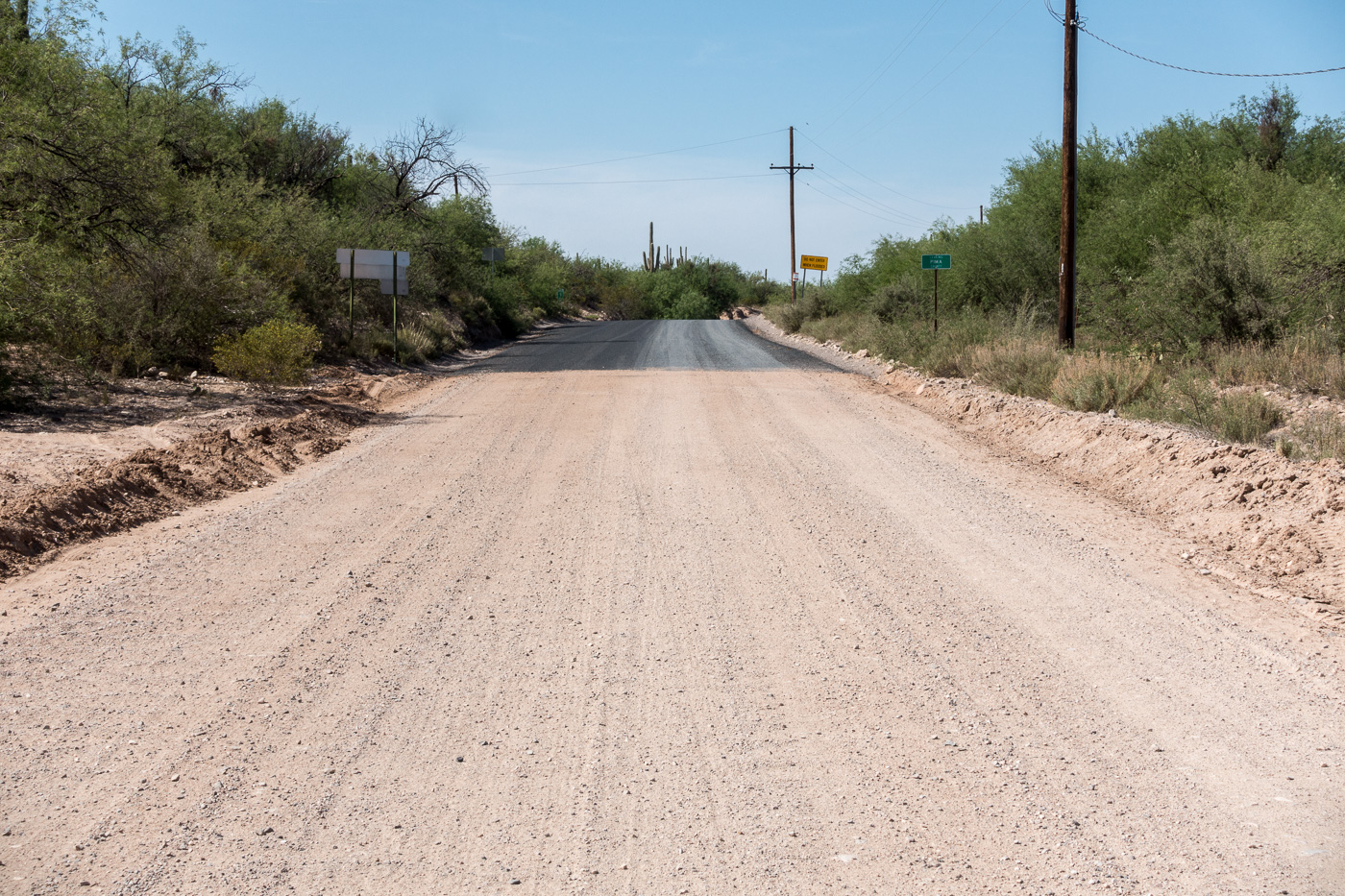
Thru San Manuel, a sharp left then the familiar right turn at the San Pedro – but today the last turn takes me into unfamiliar territory – a strange, freshly paved, night black road parallel to the river – it takes me a minute to reconcile this new thing with my memory of Redington Road.
It makes me sad and uncomfortable to see more pavement encircling the Santa Catalina Mountains – there is nothing encouraging about its current end at the Pinal County line. Maybe the pavement really isn’t that important one way or another – inconsequential compared to the destruction that the SunZia power transmission lines will likely bring to this part of the San Pedro River Valley in the coming years.
The mountain no longer seems like a thing that can stop a city in its tracks; it seems more like a cornered beast. When I hike the Catalinas now and stare down at the valleys, I feel I am on an island, one that is being constantly eroded by the fierce waves of energy sweeping across the desert floor. When I leave the city for the mountain, I walk past bulldozers on my way to the trailhead.
Looking back on the pavement starting at the Pinal County line. April 2017.
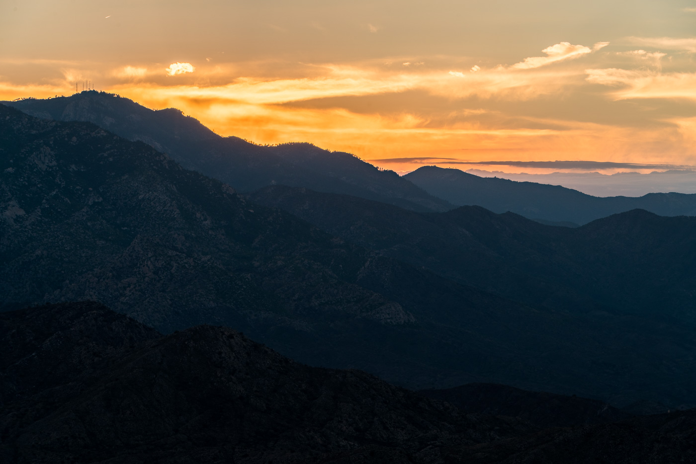
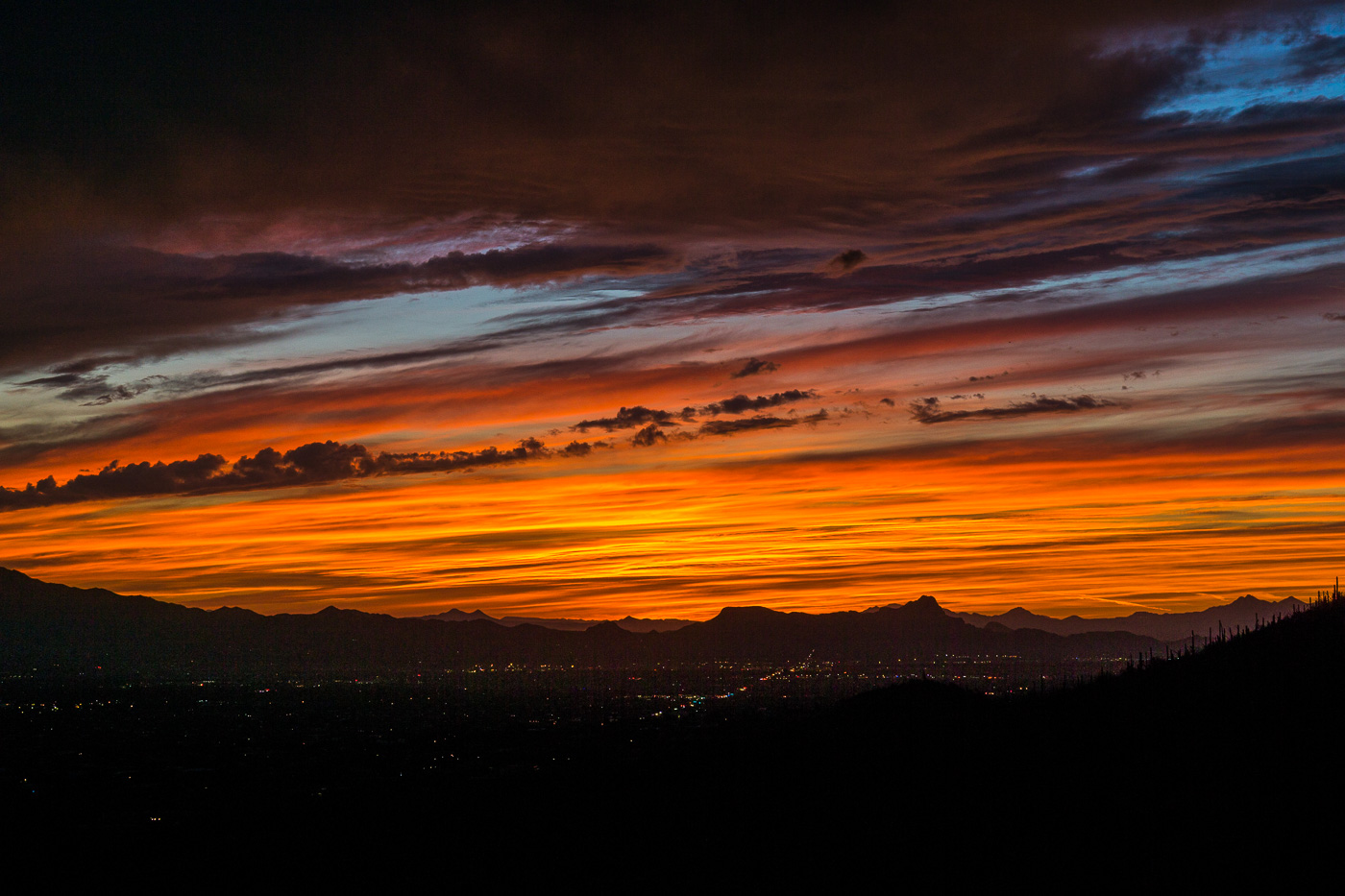
Sunset from the Pontatoc Canyon Trail. March 2017.
The Molino Fire started on April 4th in the Molino Basin area – the fire was quickly contained and limited to 50 acres. The Forest Service has suggested that the fire was caused by recreational shooting and is seeking information on a ‘person of interest’ – “a tall, white man of husky build wearing a light-colored hat, gray shirt, shorts, and tennis shoes. Witnesses saw him move toward a forest green, mid-1990s Ford Explorer parked in the area.” If you have any information please report it to the Coronado National Forest Supervisor’s Office at (520) 388-8300.
Hikers: Commercial horseback rides are damaging popular Oro Valley trail – Arizona Daily Star: Last month I mentioned a letter in the Arizona Daily Star that was critical of the condition of the Linda Vista Trails since the Tucson El Conquistador Golf & Tennis Resort began offering guided horseback rides on the trails about 6 months ago. There is now a petition that has been given to the Forest Service asking that the renewal of their permit for commercial use of the trails be denied. The Forest Service commented that “an evaluation of the condition of the trail will be completed before a decision is made on renewal of the use permit in May” and a representative from the El Conquistador said that “said the guides leading the rides “want to make sure (the trail) looks good for anybody who visits the area. From a cleanup standpoint, they do quite a lot of cleanup.”
Community members continue to push for improvements to the Sabino Canyon Tram including electric vehicles, credit card payments and an alternative to the current loud narration – an article by Tim Stellar for the Arizona Daily Star contains a number of interesting details including information from an interview with Sabino Canyon Tours owner Donn Ricketts, well worth reading – Pressure increases to get new Sabino tram operator | Latest Tim Steller columns | tucson.com – Arizona Daily Star, Letter: Sabino Canyon needs a new tram – Arizona Daily Star
Rescues/Accidents/Incidents including information from the SARCI Newsletter:
3/4/2017 Pima Canyon Trail: Exhausted hiker helped out
3/6/2017 Pima Canyon Trail: Ankle injury results in a carry out
3/10/2017 Bug Spring Trail: Head Injury
3/10/2017 Seven Falls Trail: Exhausted hiker – walked and then ridden out by horse
3/11/2017 Romero Canyon Trail: 4 hikers assisted out
3/11/2017 Aspen Trail: Lost hikers found and assisted out
3/11/2017 Sycamore Canyon: A group of 8 descending the canyon – they separated into several groups – 1 hiker was unable to follow the Sycamore Reservoir Trail and turned up Bear Canyon (found and helped) – three exhausted hikers were given water/food and gear to spend the night and then short-hauled out the next day.
3/12/2017 Seven Falls: Injury results in a short-haul out
3/13/2017 Bear Canyon: Ankle injury is assisted out on foot and horseback
3/13/2017 Pima Canyon Trail: Ill and unresponsive hiker flown out
3/14/2017 Butterfly Trail: A head injury in the Novio Spring area eventually results in a hiker being flown out
3/16/2017 Bellota Trail near La Milagrosa Canyon: Chest pains reported by a hiker via Personal Locator – hiker flown out
3/18/2017 Palisades Canyon: Rockfall injury during a canyoneering descent – two party members flown out, two assisted out on foot
3/19/2017 Willow Canyon: Hikers became lost in the Rose Canyon Lake area and are assisted out after ending up in the Seven Cataracts drainage
3/20/2017 Window Peak: Hikers become lost when they take the trail up to Window Peak rather than heading down – hoisted out the next morning
3/21/2017 Bear Canyon Trail: An exhausted hiker with medical complications and ankle injury are assisted out
3/25/2017 Seven Falls Trail: A fall on the trail results in a hiker being unresponsive for several minutes – carried and flown out
3/29/2017 Romero Pools: A fall results in a head injury – injured hiker was flown out
Sunset from the Pontatoc Canyon Trail. March 2017.
Beautiful green below West Spring near the large tank on the Bellota Trail. March 2017.
Pieces of the Bellota Trail are easy to see from the Molino Basin Parking Area or the Italian Spring Trailhead, but at over 20 miles for a full out and back it’s a long day to see the whole thing – so it was lucky to find a friend interested in doing a car swap/key exchange allowing me to make the rather beautiful trip out of the Santa Catalina Mountains over to Redington Road with a casual start, relaxed pace and plenty of time to enjoy the journey!
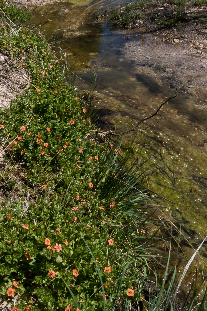
Scarlet Pimpernel high in Agua Caliente Canyon at the Bellota Trail crossing (after the trail leaves FR36A). March 2017.The Lake – this pool of water is just off the Arizona Trail (Bellota Trail) near The Lake Trailhead on FR36. March 2017.Looking towards the Evans Mountain from Point 4622, just off the Bellota Trail. March 2017.