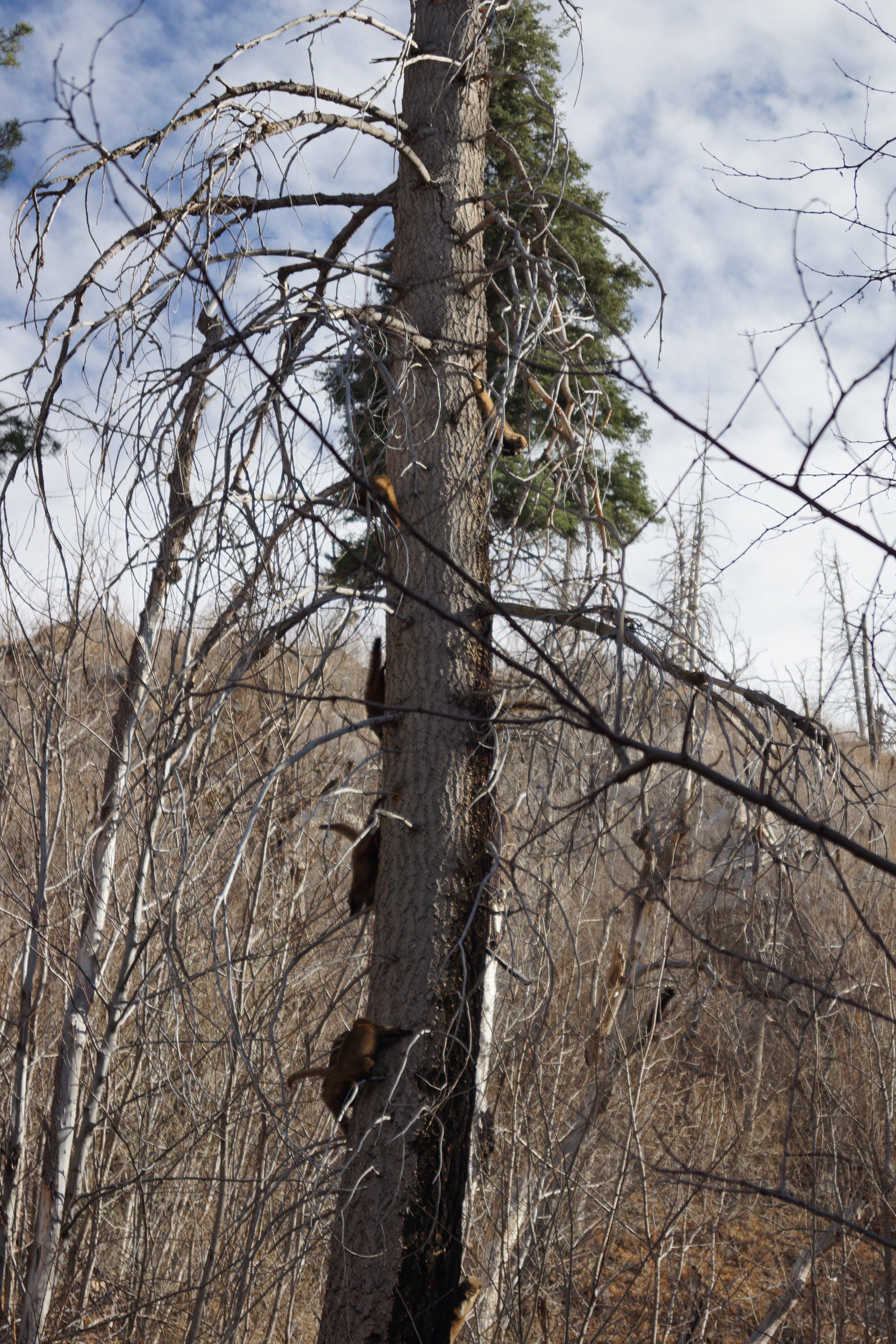
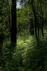
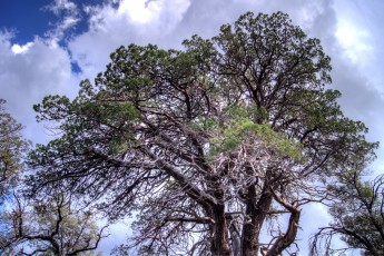
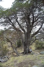
The Keebler Tree - a lovely spot for a break along the Crystal Spring Trail... September 2013.
Overview
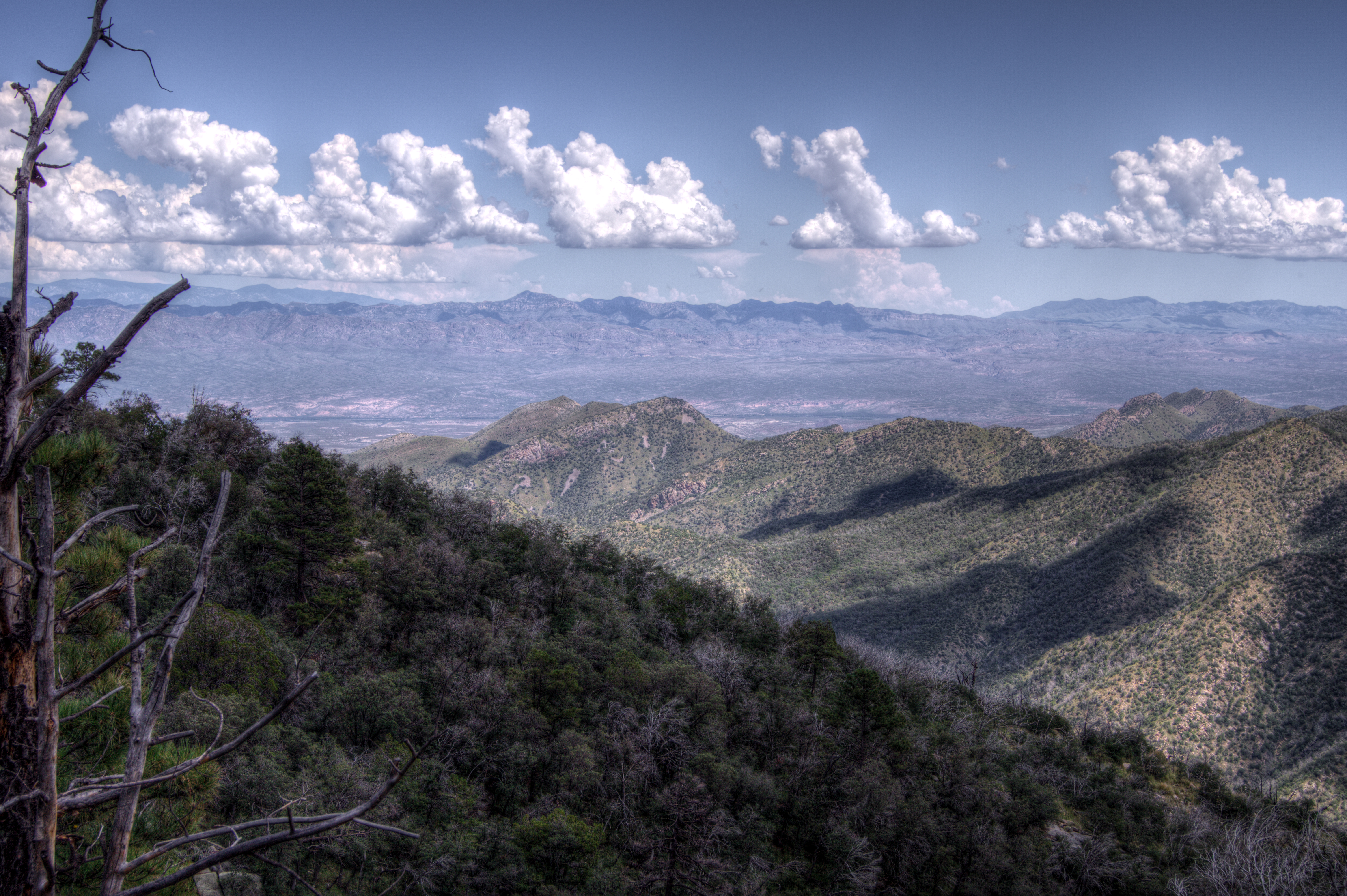
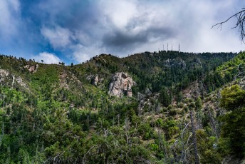
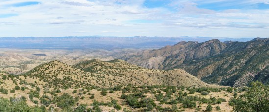
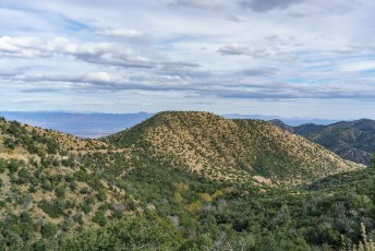
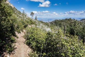
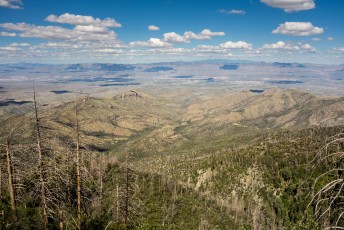
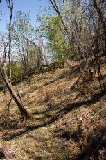
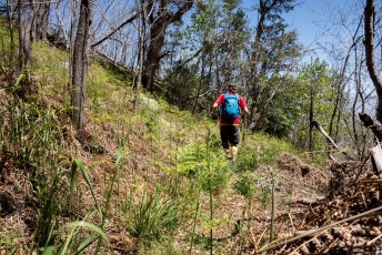
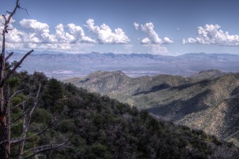
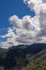
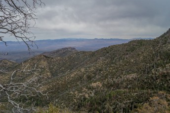
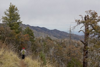
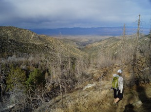
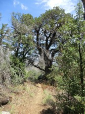
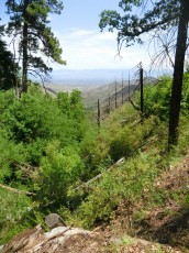
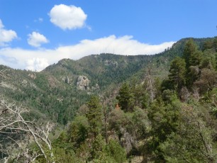
At it’s southern end the Crystal Spring Trail #17 starts from a junction with the Butterfly Trail, contours along the hillside passing Alder Canyon and a number of smaller canyons and eventually emerges on the Control Road. This trail gets less use than the Butterfly Trail, but it offers many of the same attractions – shaded wooded areas, open fire-scarred areas with great views and water (well, for some of the year anyway!).
Hike Stats
Out and Back
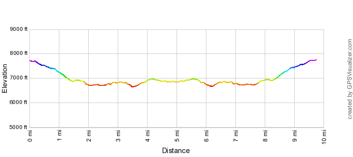
9.8 miles
2,500' Elevation Gain
2,500' Elevation Loss
Highest Elevation: 7,750'
Lowest Elevation: 6,650'
Location
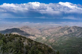
Between the Control Road and the General Hitchcock Highway in Santa Catalina Mountains, north of Tucson, Arizona.
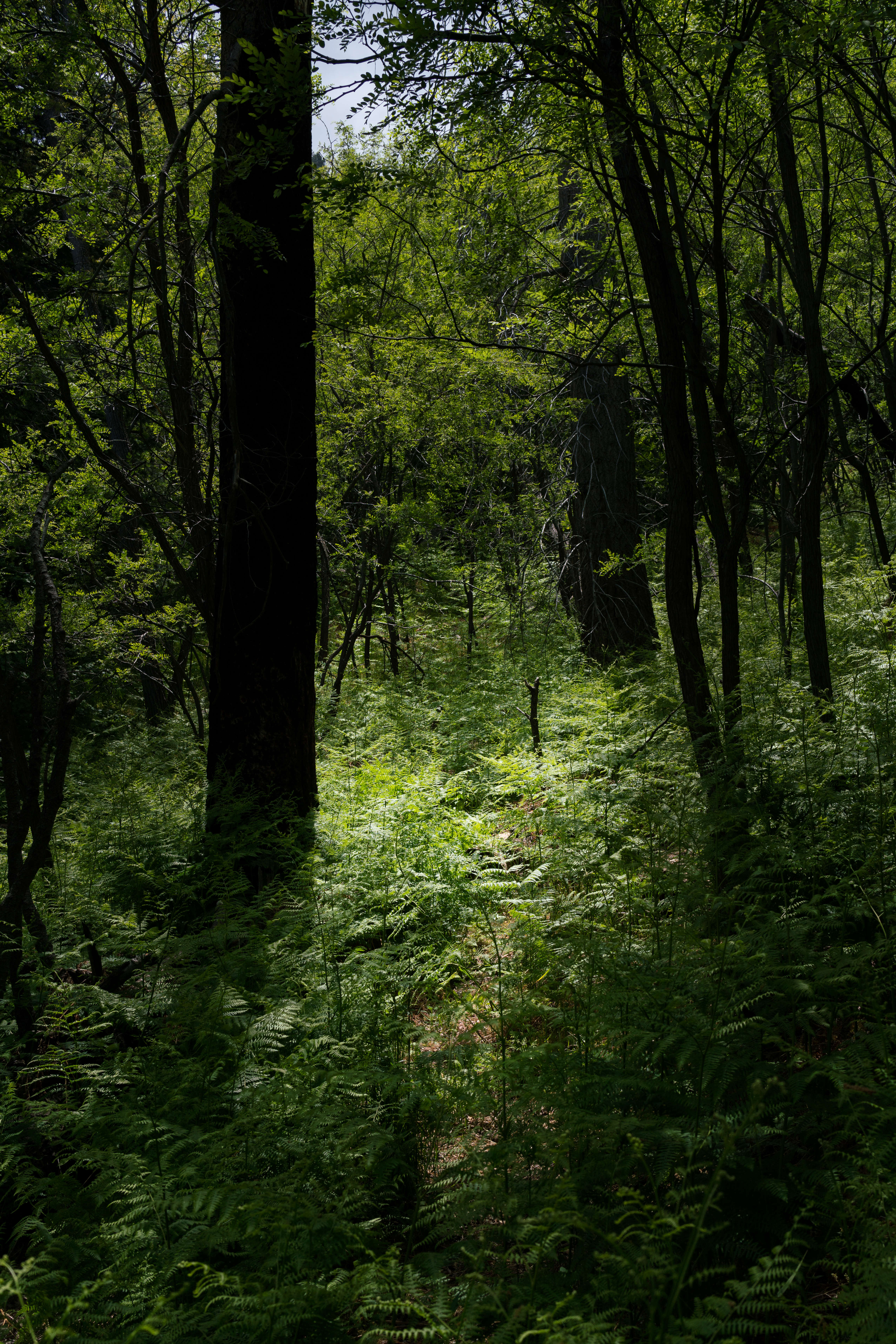
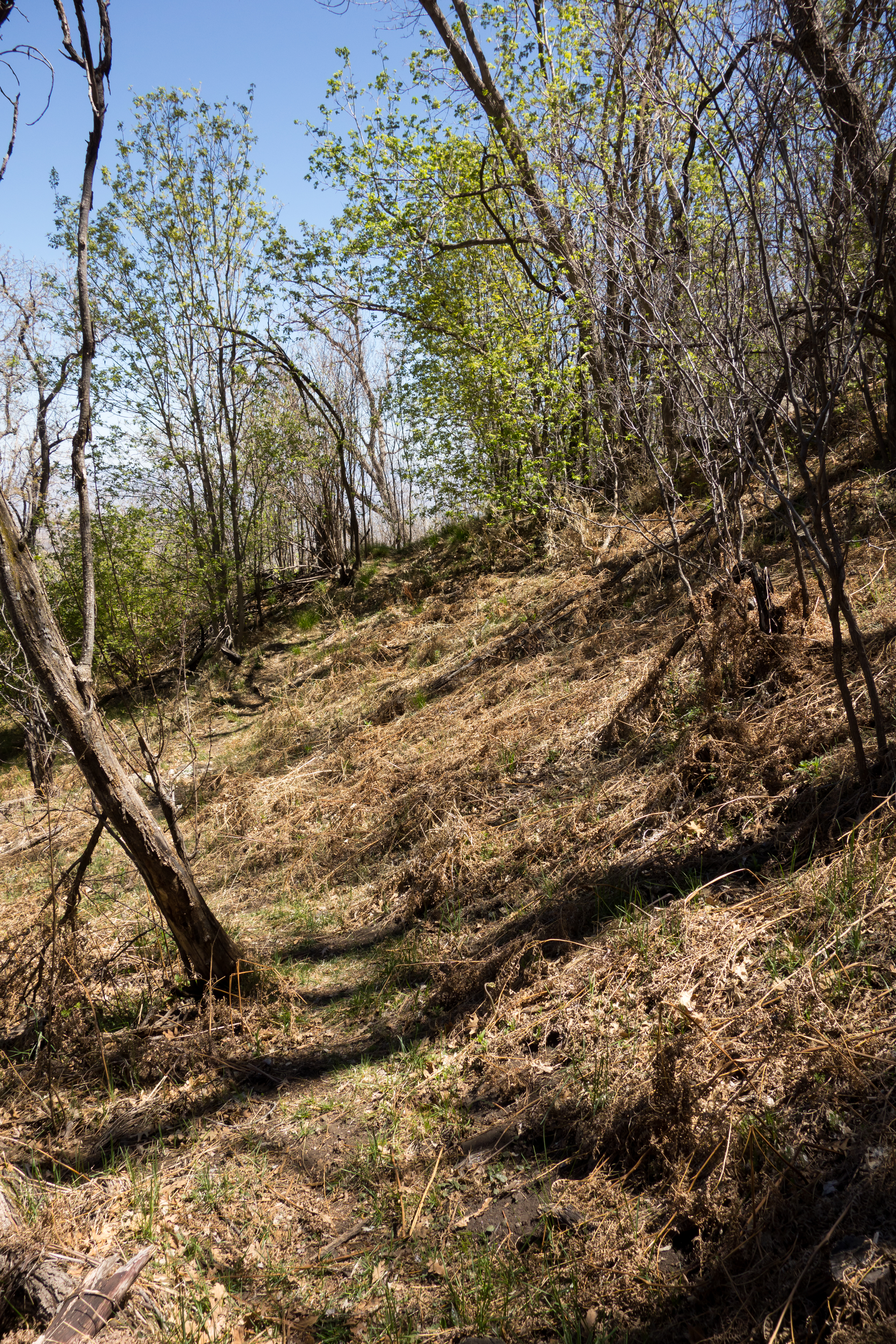
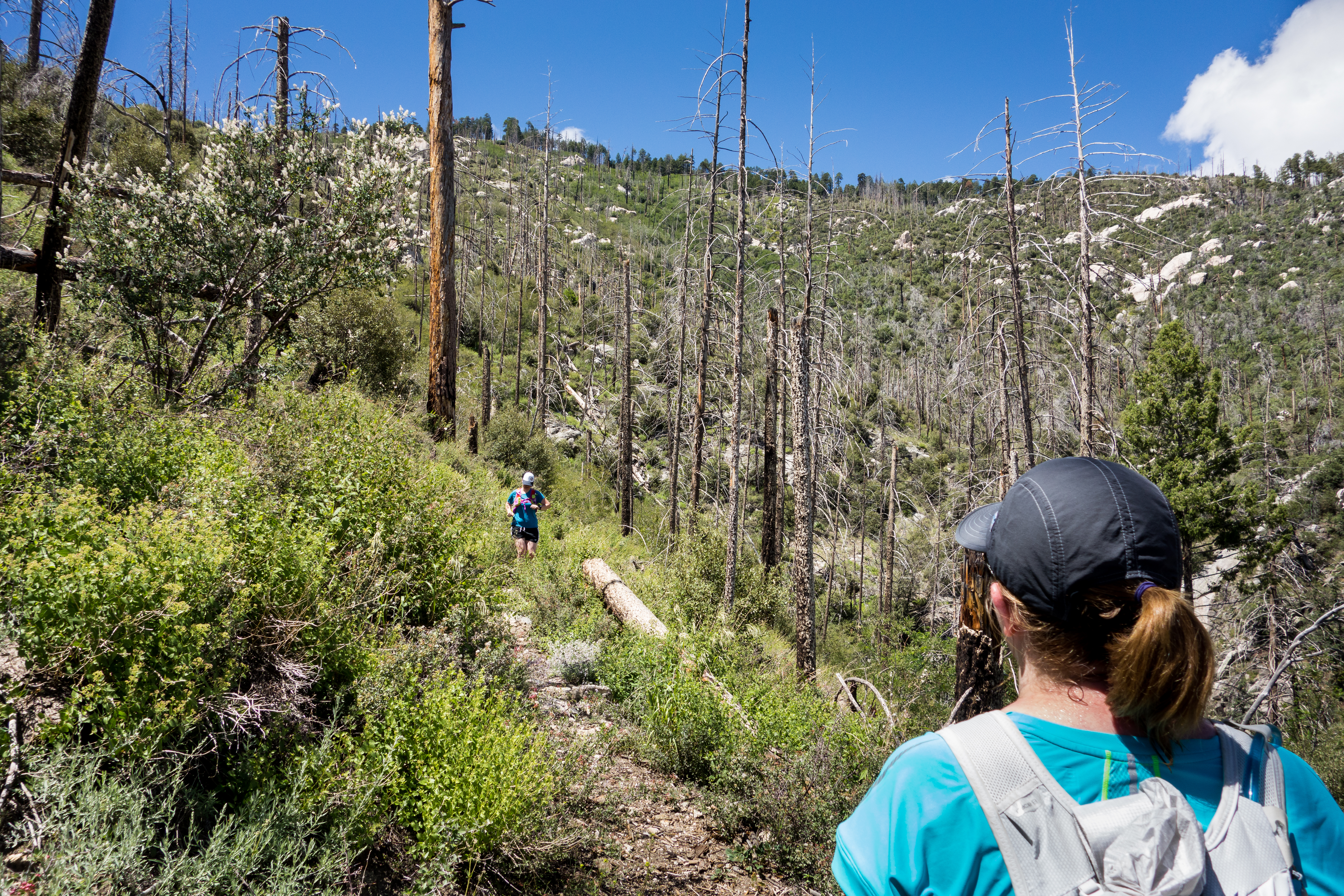
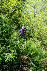
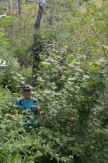
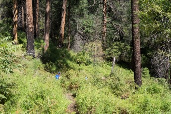
Left: Summer green - the trail practically disappears into the ferns in some sections! May 2017. Right: Winter brown - quite a change from the overgrown state of the trail after the summer rains. April 2014.
Trail Notes
The directions below start at the Upper Butterfly Trailhead and follow the Butterfly Trail for 1.3 miles to the southern end of the Crystal Spring Trail – this start puts you on-trail right away and avoids having to walk or drive the Control Road to reach the trail.
[CueListWarning/]
0.0 miles, 7700′: Start from the Upper Butterfly Trailhead [Waypoint UB TH]. The beginning of the trail is paved and leaves from the gate and large trail sign at the end of the parking lot.
A sign will help you avoid going up a side road a few minutes from the parking lot.
0.9 miles, 7300′: The trail reaches a saddle with an old campsite – the trail continues down [Waypoint B01].
1.3 miles, 6950′: Take a left onto the Crystal Spring Trail at a signed junction [Waypoint J B CS].
Enjoy the shade, trees and views – this section of trail has a few great spots for breaks.
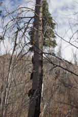
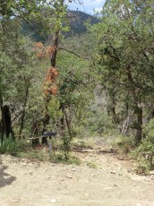
1.9 miles, 6850′: The ‘Keebler Tree’ – a beautiful and easy to recognize old tree and another great spot to take a break [Waypoint CS01].
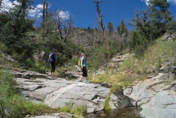
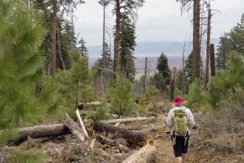
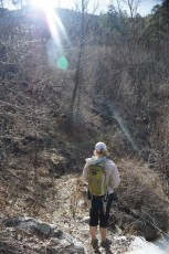
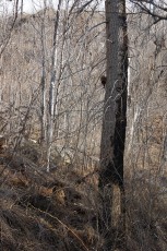
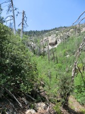
From here the trail will cross a number of small canyons and ridges as it works along the hillside – depending on weather/water/season some of these may be flowing! From here the trail also enters areas where you can still see the impact of the 2002 Bullock, there are often fallen trees (usually smaller) on the trail and the especially in the summer the trail may be (very) overgrown.
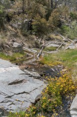
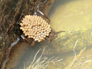
3.2 miles, 6800′: The trail crosses Alder Canyon (the canyon where Crystal Spring is located). Even if previous canyons have been dry there may still be water here [Waypoint CS02].
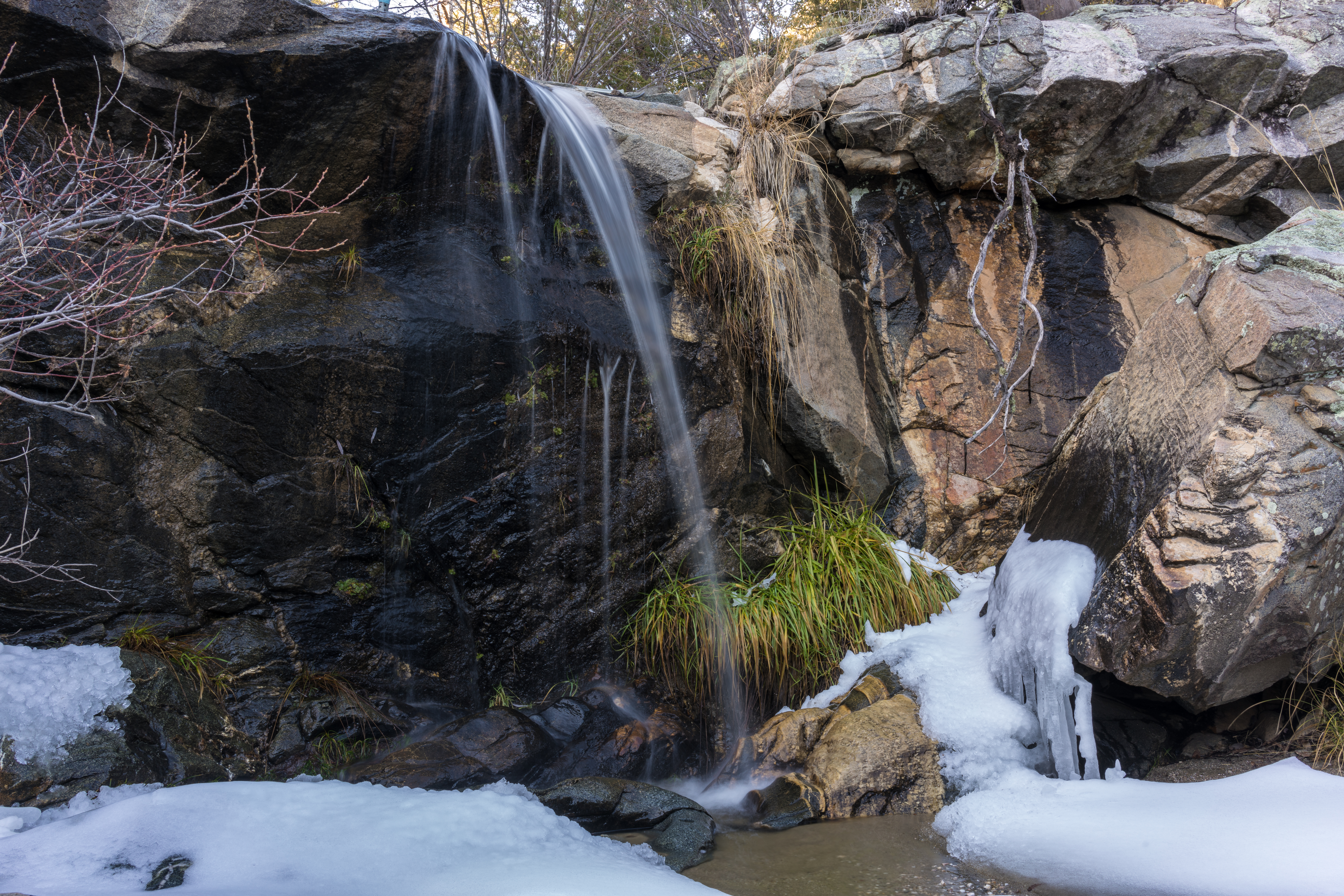
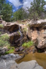
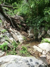
3.9 miles, 6800′: The trail crosses a drainage that pours over a rocky cliff [Waypoint CS03]. This cliff (and sometimes waterfall) is visible from the trail before you reach this point.
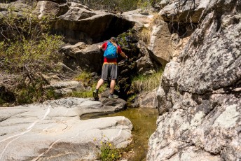
4.7 miles, 6850′: Just below the trail a rocky canyon has several small falls and pools [Waypoint CS04].
4.9 miles, 6850′: The Crystal Spring Trail reaches the Control Road [Waypoint J CS CR]. From here you can retrace your path along the Crystal Spring and Butterfly Trail to the Upper Butterfly Trailhead.
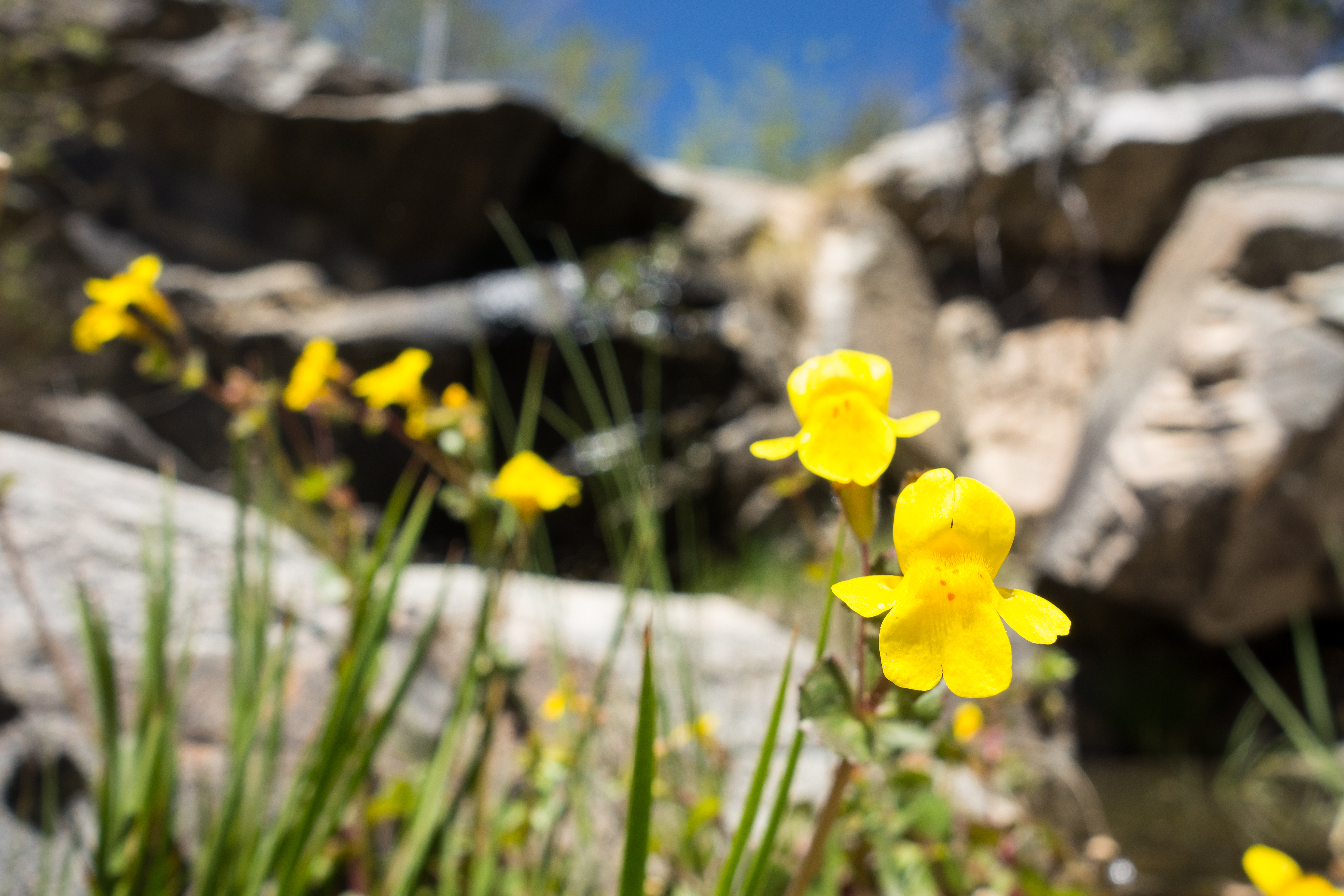
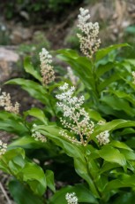
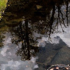
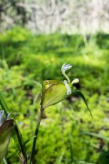
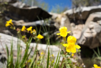
Left: Winter at the small falls off the Crystal Spring Trail. December 2016. Right: Monkey Flowers near the falls. April 2014.