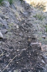
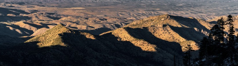
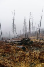
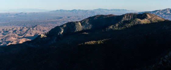
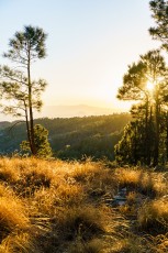
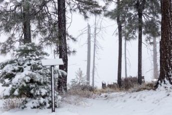
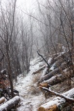
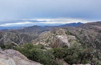
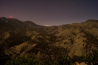
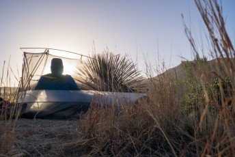
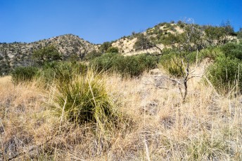
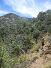
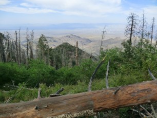
The top of the Knagge Trail - much of this trail has been impacted by fire and sections of the trail were overgrown and hard to find after the summer rains in 2013. May 2012.
Overview
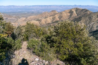
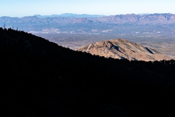
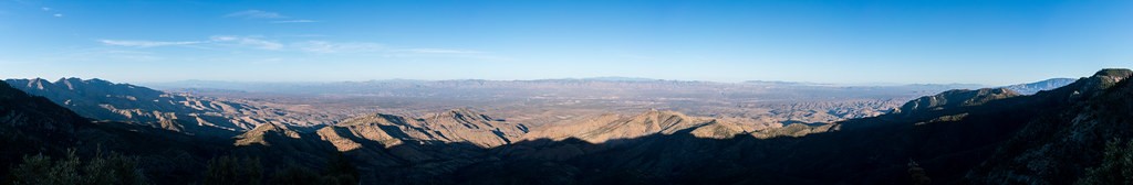
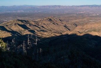
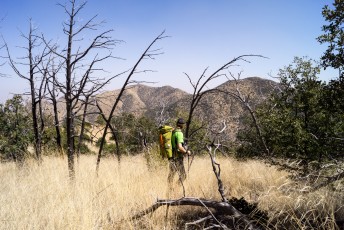
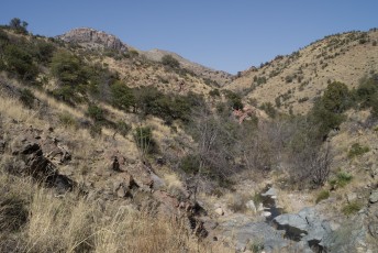
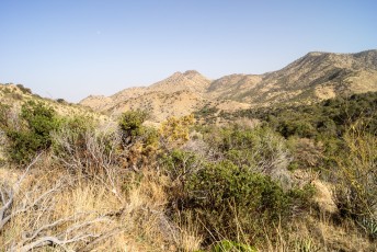
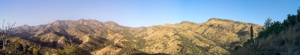
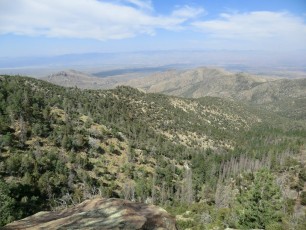
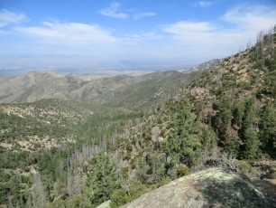
The Knagge Trail #18 takes you by the remains of the Knagge cabin and a nearby mine that they worked in the early 20th century – the old cabin site is an amazing place to sit and contemplate what life must have been like here in the 1920s! Even without the historical sites along the trail this would still be an attractive hike with great terrain and beautiful views as it drops down the ‘backside’ of the Santa Catalina Mountains. Before fires burned thru this area this trail worked it’s way down to South Edgar Canyon and over to Peck Basin, but – at least as far as I can tell – fire/time/nature have erased the lower section of this trail and any attempt to reach Peck Basin will be an off-trail adventure!
Hike Stats
Out and Back
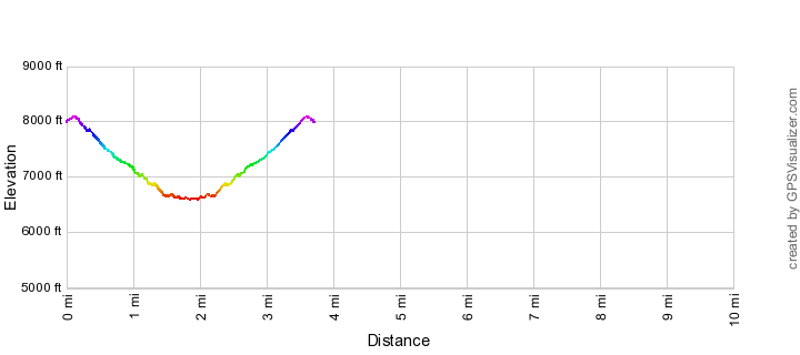
3.9 miles
2,200' Elevation Gain
2,200' Elevation Loss
Highest Elevation: 8,100'
Lowest Elevation: 6,600'
Location
General Hitchcock Highway - Santa Catalina Mountains, north of Tucson, Arizona.
Bikes: Yes (With currently poor condition of the trail and no connection to other trails I would not recommend this as a ride.)
Drive
0 Minutes from Speedway and Campbell
Vehicle Access:
Knagge Trail Elevation Profile
Driving Directions
Suggested driving directions from the Speedway and Campbell intersection in Tucson to the Kellogg Trailhead:
Drive East on Speedway (5.0 miles)
Left on Wilmot and continue on Tanque Verde (4.3 miles)
Left on Catalina Highway (23.7 miles)
Right on Incinerator Ridge Road (0.4 miles) - in winter (December 15 to March 1 depending on the weather) this road is gated and closed to vehicle traffic (it remains open to travel on foot) - there might be room to park near the gate without blocking it, but it may be easier to use the parking pullouts just up the highway.
The trail parking is located at the end of the road. The condition of Incinerator Ridge Road varies - while passenger cars (low clearance cars not recommended) often make it up the road it can be quite rough and a vehicle with a more clearance is recommended.
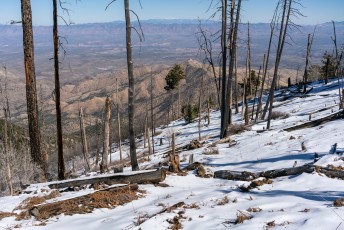
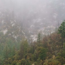
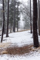
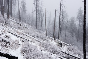
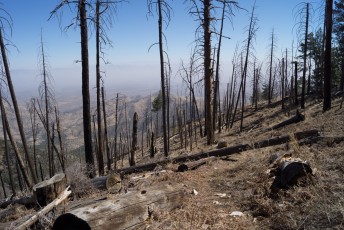
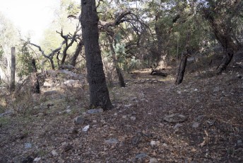
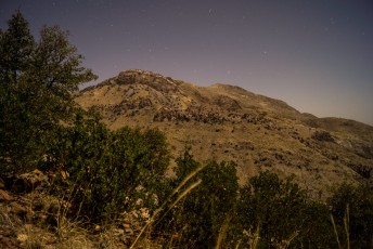
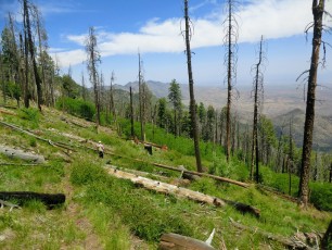
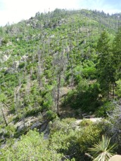
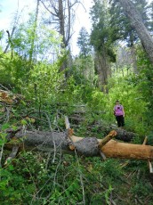
The trail has received some care in recent years (which is very much appreciated!) - but in places you will have to look carefully and use all available clues to find it. September 2013.
Trail Notes
[CueListWarning/]
0.0 miles, 8000′: Start at the Kellogg Trailhead and take the Incinerator Ridge Trail. [Waypoint IR TH]
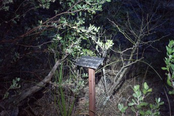
0.1 miles, 8050′: The signed junction with the Knagge Trail is located at a large well used campsite. [Waypoint J IR K]
From the junction the trail descends – in places this trail requires some care and attention to follow – keep your eyes open!
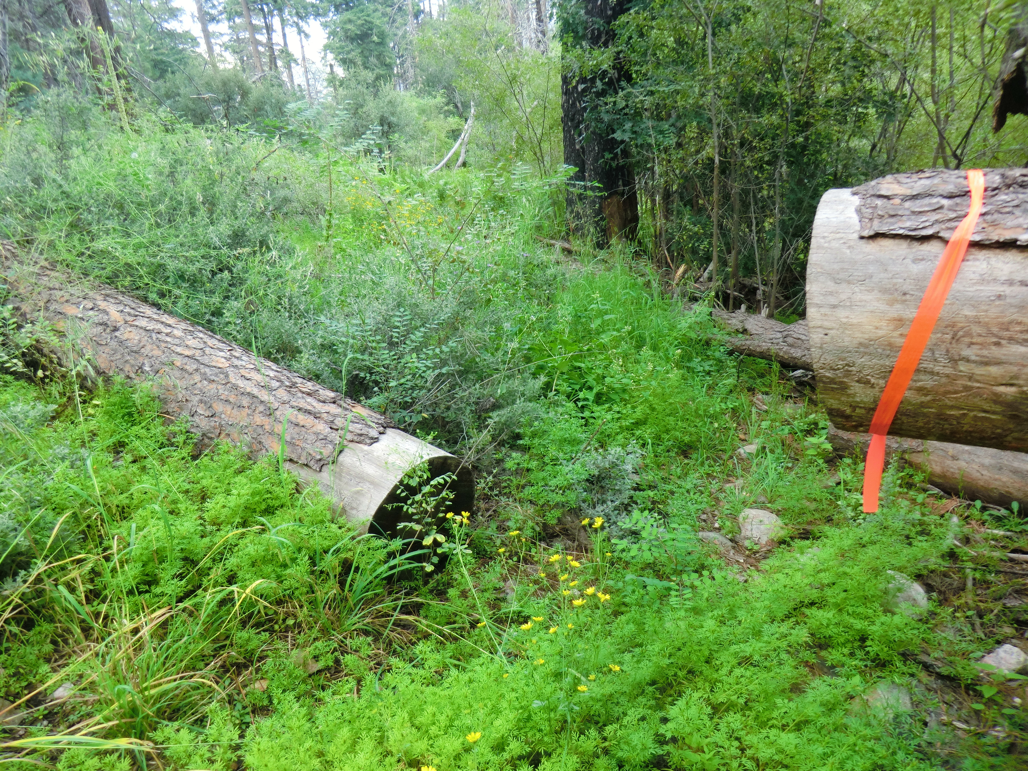
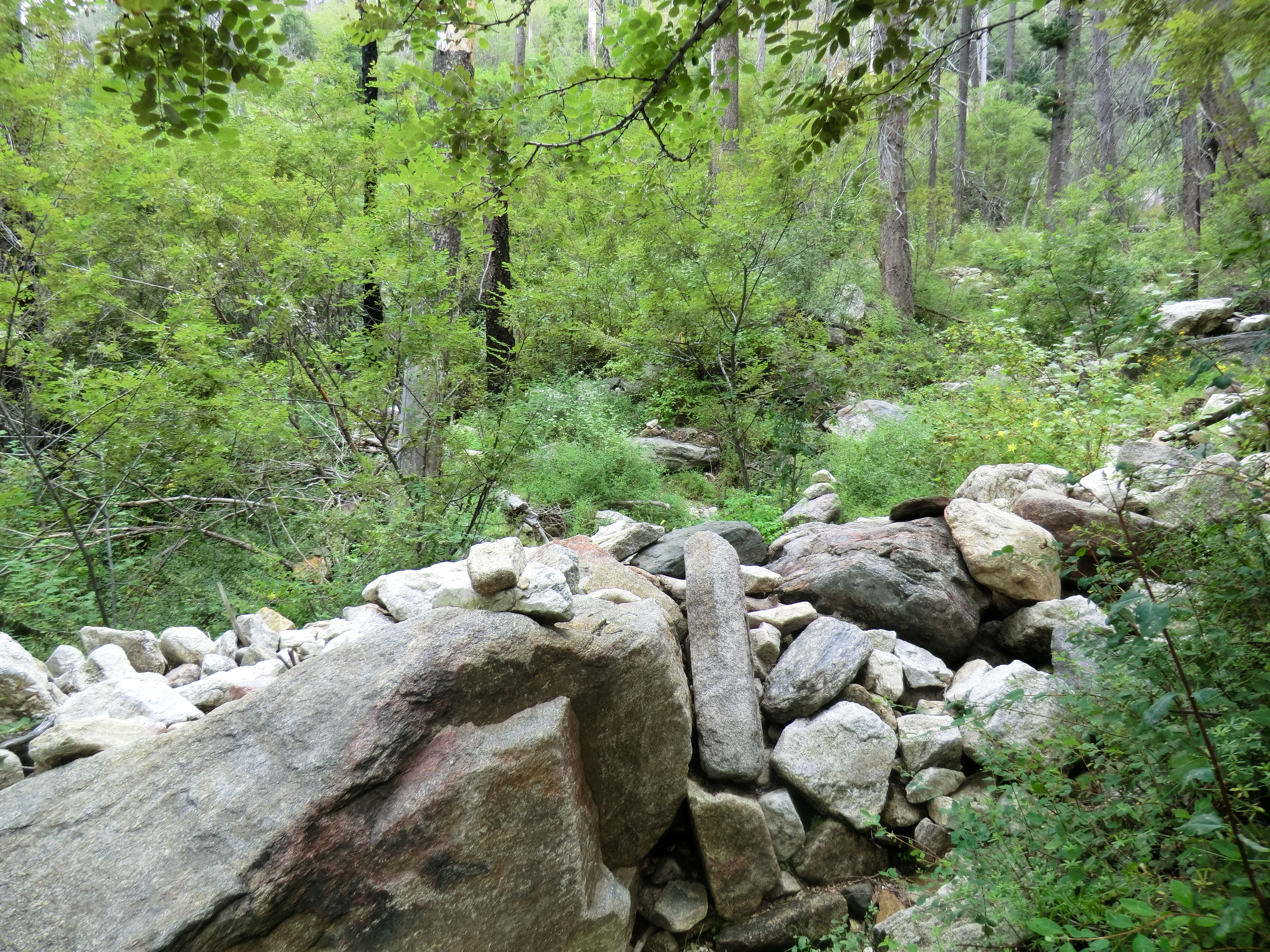
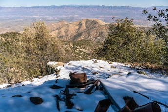
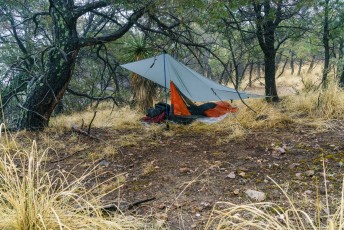
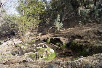
1.0 miles, 7200′: The trail crosses a rocky area and drainage [Waypoint K01] and then goes by the Knagge cabin site [Waypoint K02], this spot has great views and would be a great destination for a shorter hike..
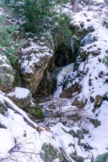
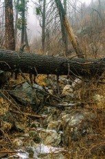
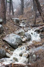
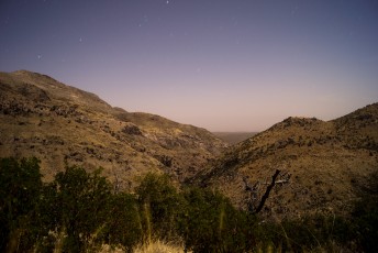
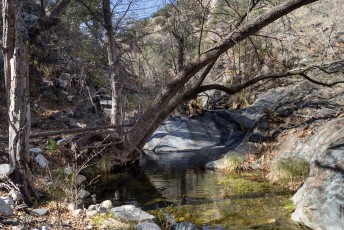
The rocky drainage - the trail crosses this drainage before the cabin site. September 2013.
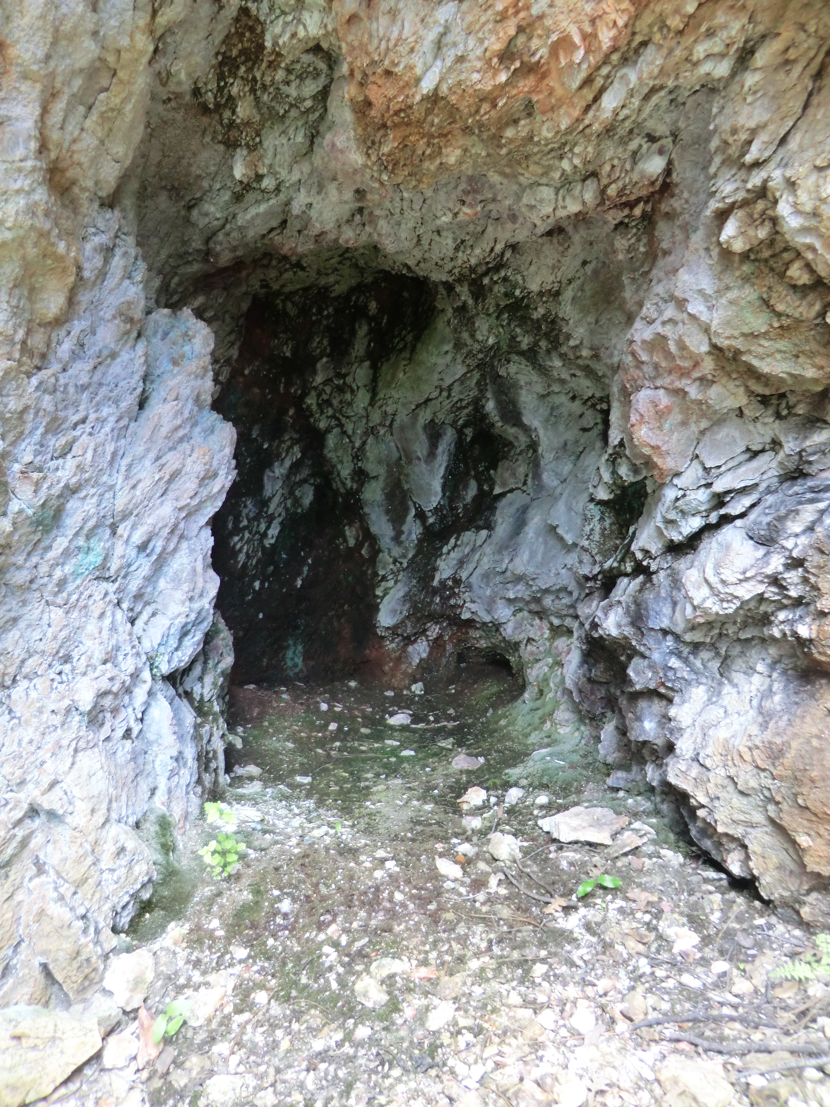
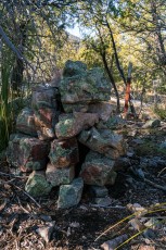
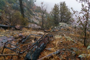
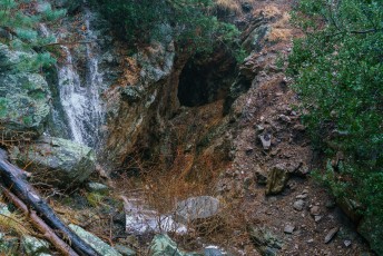
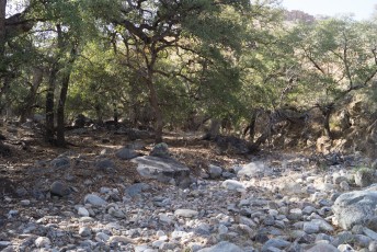
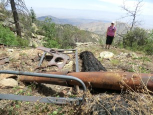
1.2 miles, 6950′: The trail passes the old mine [Waypoint K03] and then crosses a steep rocky section of canyon [Waypoint K04].
From the trail the mine looks ominous - but when you get closer you can see it has been filled in... May 2012.
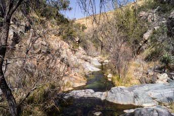
1.3 miles, 6900′: The trail crosses a wash. [Waypoint K05]
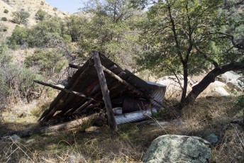
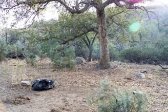
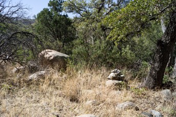
1.9 miles, 6600′: The obvious/maintained trail ends at several old camp sites. [Waypoint K06]
While clearly drawn on every map I am aware of I have had very little luck finding the trail past the campsites at 1.9 miles – while you may find a few traces I suggest you consider anything beyond 1.9 miles an off-trail bushwhack (see this post for some pictures from an off-trail hike down…)
[MapSahcCatalina] – The SAHC map shows a Trail all the way to Peck basin, as noted above beyond the campground at 1.9 miles I do not believe the trail currently exists.
[MapGreenTrailsCatalina] – The Green Trails map marks this trail as ‘Unofficial/Unmaintained’ – however I think even that is optimistic, as noted above beyond the campground at 1.9 miles I believe this trail is currently best considered an off-trail adventure.