The Knagge Trail has the perfect amount of soft snow – plenty to enjoy, but not enough to require anything more than trekking poles and a little care to navigate. The old Knagge cabin site and mine are high enough to still have a light blanket of snow from this year’s unusually wet winter – lower on the trail, in oaks and sun, the snow disappears long before the large old cairn on the ridge and the carsonite marker declaring the end of the maintained trail. Past the marker the ‘trail’ seems obvious, drawing you down along the ridge connecting sections of maybe-this-is-the-old-trail just good enough to go just a little farther… Too soon any illusion that I am still on the old trail disappears and it is time to head back up.
kellogg trailhead
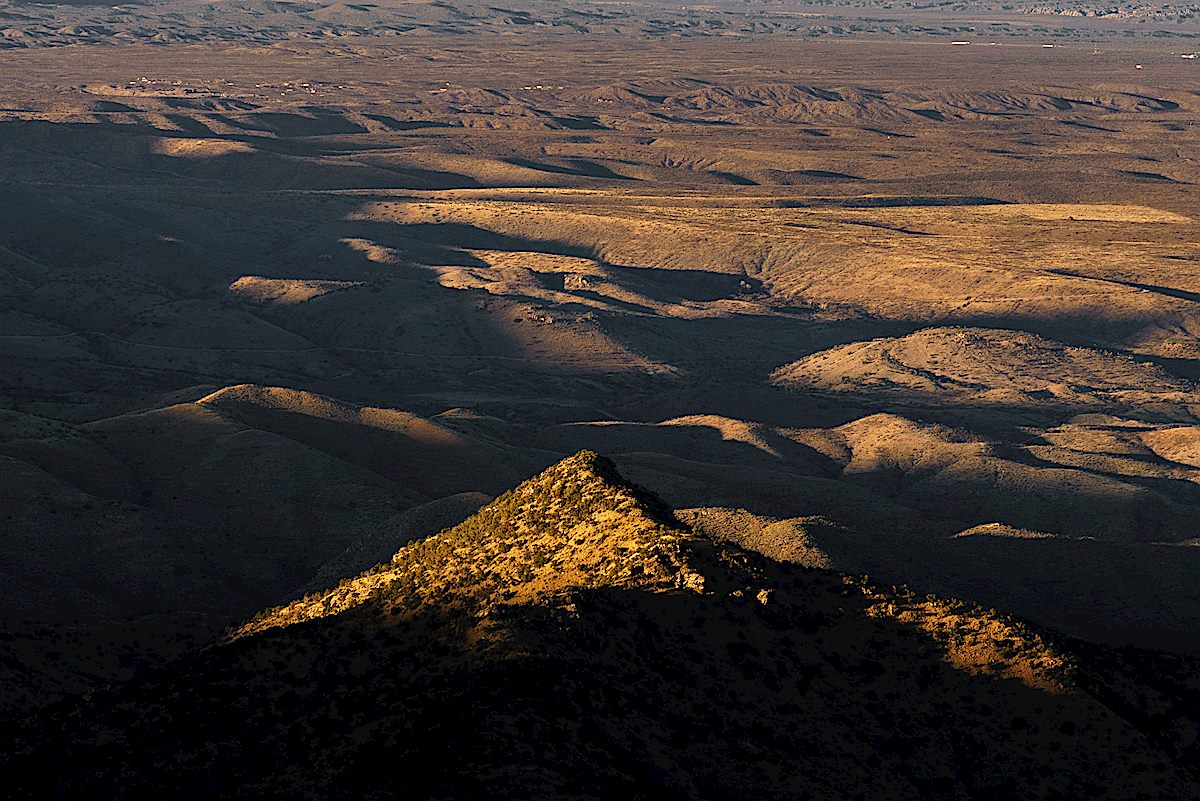
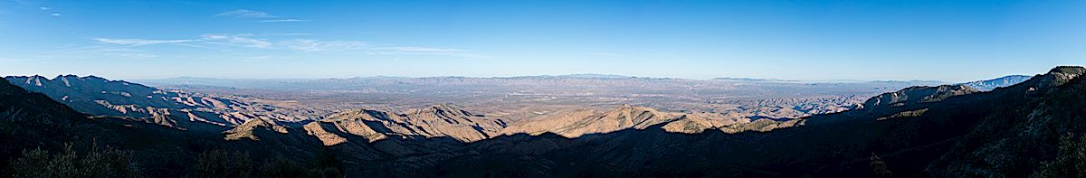
Point 7556 Near the Knagge Trail – 2/4/2018
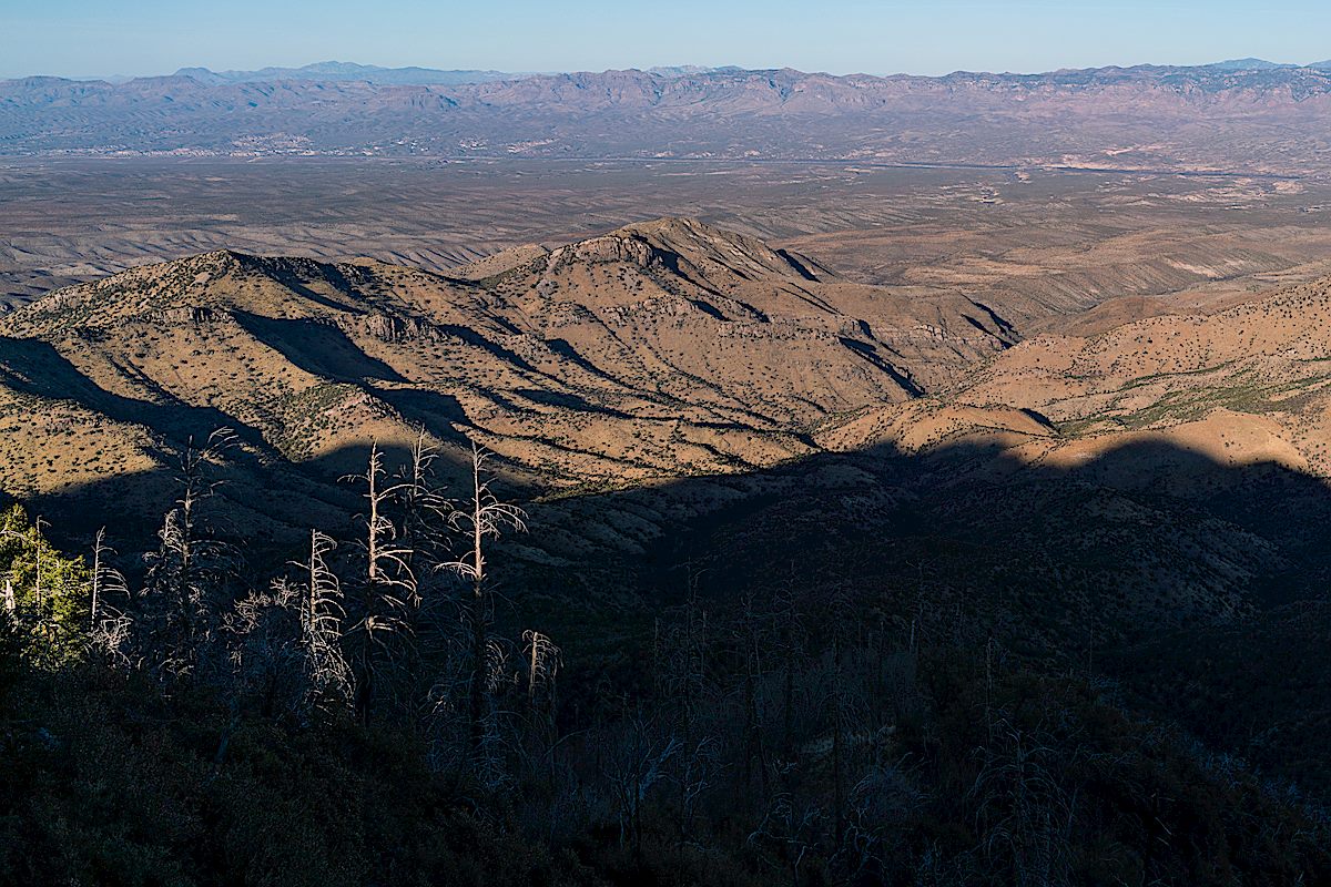
Point 7556 is a short distance from the Knagge Trail – no trail, but easy enough to get to. I can’t remember having walked out to it before, no idea why not, but I guess with so many places to explore…
In a way it might be better that I overlooked it until now. Years ago the views would have been just as spectacular – a sweeping view down into the San Pedro River Valley and across to distant mountain ranges, east side canyons and rolling hills folding the landscape – but looking down now, after having spent more time in recent years exploring the east side of the Santa Catalina Mountains, is more interesting, and more personal, than it used to be.
Knagge Trail – 2/15/2018

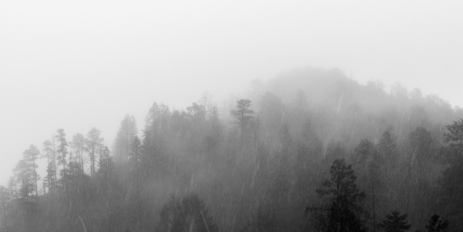
Clouds cover the mountain, small waterfalls decorate highway road cuts and on the trail every small drainage is flowing – the variety on the mountain is infinite, what an interesting day to be on the Knagge ‘Trail’!
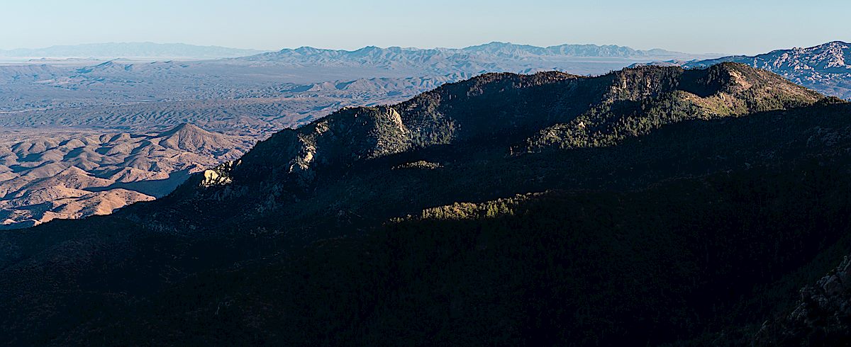
The Knagge Trail is still drawn onto maps of Santa Catalina Mountains, but like the Davis Spring and Brush Corral Trails, it disappears long before reaching it’s eastern terminus. You can, of course, still make your way down to the junction of the Knagge Trail and the Davis Spring Trail in Edgar Canyon, and even find occasional convincing pieces of old trails, but at this point it is an off-trail adventure.

From Look to the Mountains, p. 69:
In addition to their homestead and the pack train, The Knagges worked a mining claim in the Catalinas. It was located on the east side of Kellogg Mountain. From around 1916 into the 1930’s, the family spent time at the claim during the summer under very rustic conditions. A simple cabin provided shelter and a spring supplied them with fresh water. On occasion, a mountain lion stalked the camp, lured by their horses and burros.


Knagge Trail to the Cabin, Snow – 1/31/2015
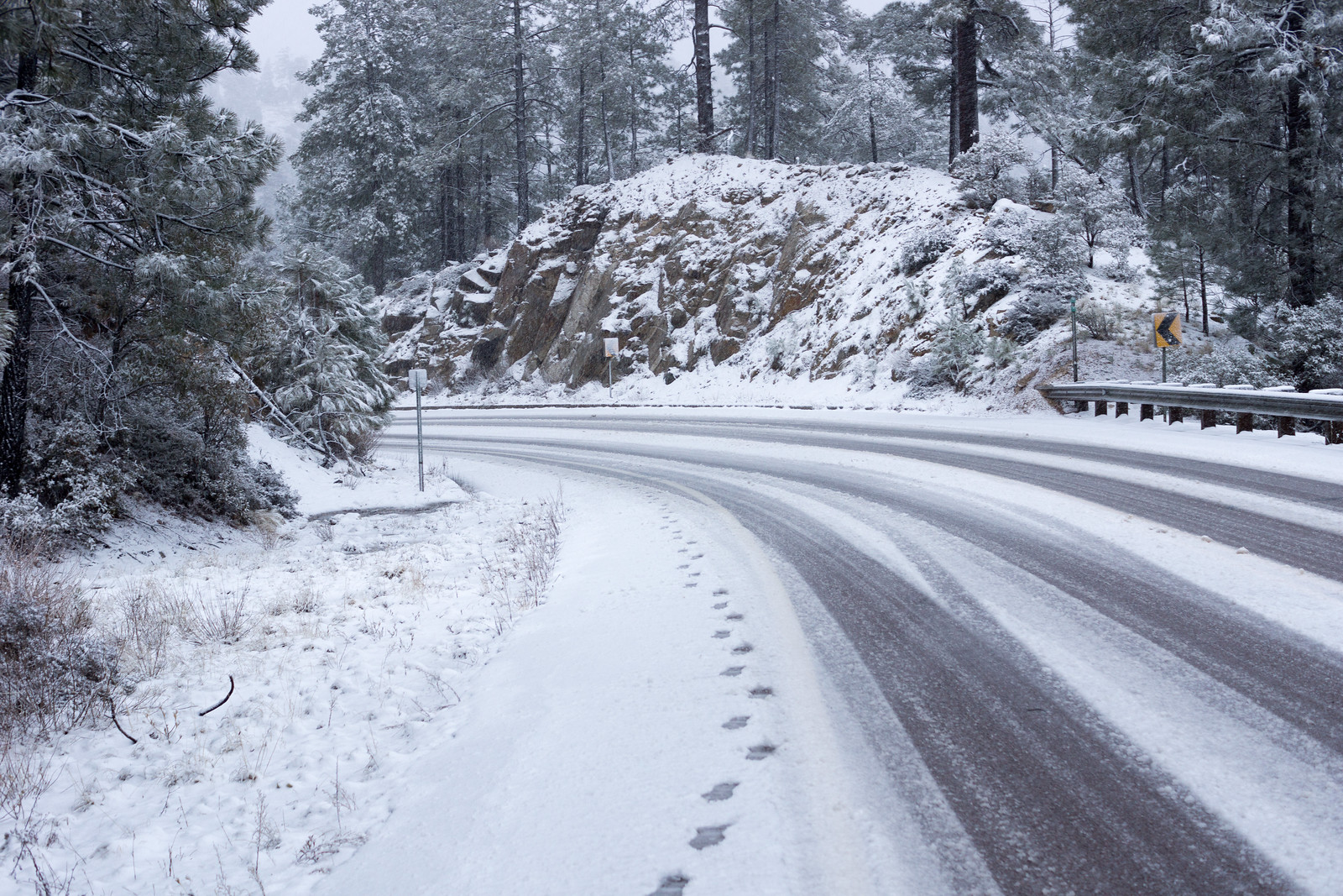
Lower on the highway everything was wet – Seven Cataracts is roaring and all the usual road-cut waterfalls flowing – but somewhere around Barnum Rock the rain turned to big wet snow flakes!

The snow seems like a surprise after the rain – but it has been snowing long enough to cover Incinerator Ridge Road and put snow on the Incinerator Ridge Trail – a frozen sign greets me at the start of the Knagge Trail.

Clouds cover the mountain and snow covers the trail – there aren’t any footsteps to follow today but finding the trail isn’t a problem. I start to wonder about snow collecting on the highway – but surely there is time to make it to the old cabin site…
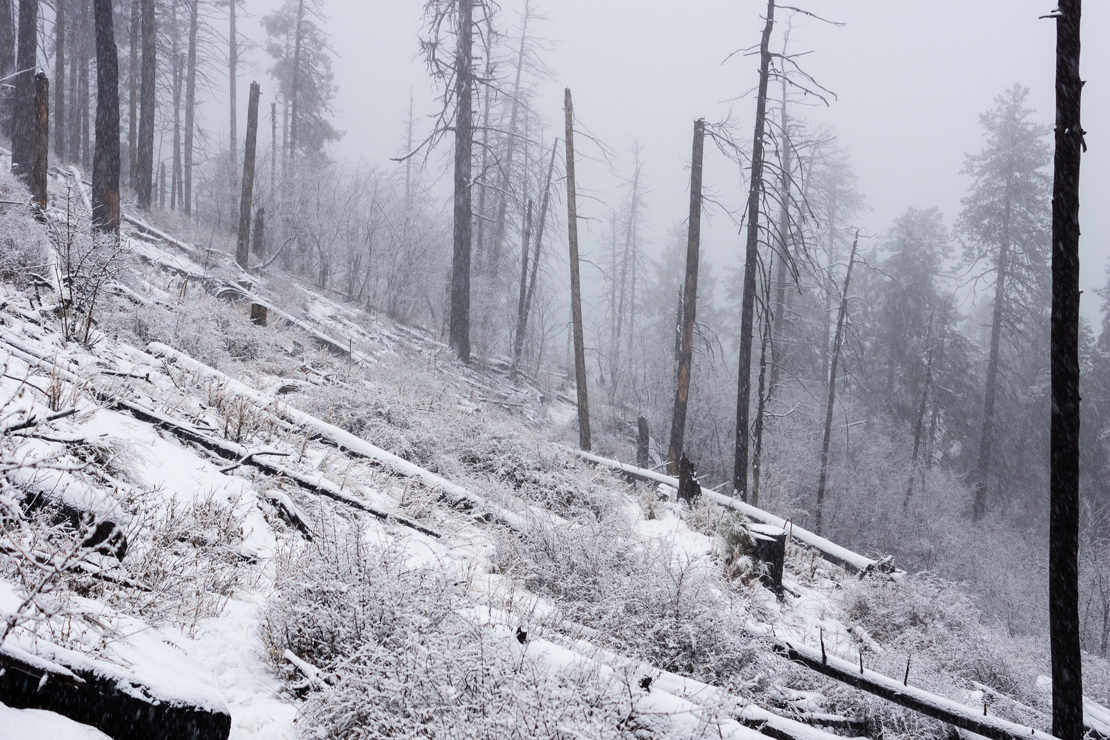
The snow has turned to rain by the time I finish the hike down to the cabin – out of time I head back up into the snow.
2.5 Miles, +/- 1100′ of elevation gain and loss.
Peck Basin and Araster Spring via the Knagge ‘Route’ – 2014/3/12
For several years I have looked down into the Peck Basin Area and wondered what was down there… I suppose that the easiest way to get into that area is via the Davis Spring Trailhead on the north side of the Mountain – but part of my fascination with Peck Basin is a curiosity about a trail that seems to be disappearing back into the mountain: the Knagge Trail…
I was dropped off at the bottom of the Incinerator Ridge Road, walked up to the Trailhead and soon enough I was headed down the Knagge Trail, familiar territory and notably easier to follow than it was last September with the plants along the trail brown and flat.

The Cabin, the mine and the current end of the well established trail all come quickly – and then off onto the ridge below. Unlike my last trip I don’t use any time trying to find the original trail – instead I just work on finding the easiest way down the ridge – an occasional cairn, faint paths that look for a second like a trail, brushy puzzles, beautiful open grassy sections, views down into my destination…

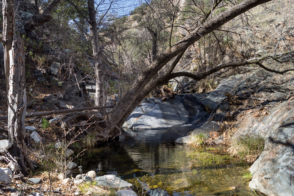
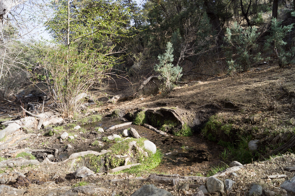
I am counting on water in the South Fork of Edgar Canyon and the canyon does not disappoint – clear rushing water!
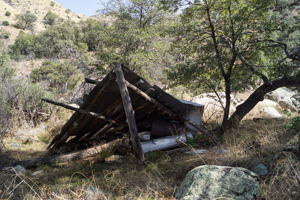
I work down canyon trying to find the easiest path – up around a box, past an old shelter, thru a fence – here I see the first signs of the cows who live in this area…
I cut out of the canyon, over the ridge and into the drainage with Araster Spring and Peck Basin (this canyon is referred to as Edgar Canyon in the Cowgill and Glendening guide but the USGS 7.5′ Map labels the canyon to the south as Edgar Canyon…). I see more cows on the ridge above and follow their tracks and dung up canyon to Araster Spring and slightly beyond. Araster Spring is beautiful but slightly trampled.
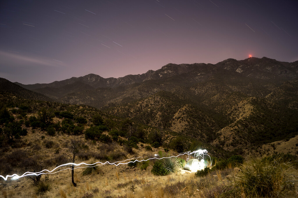
Originally I had planned to camp here but the cows have made this area a bit less attractive than I imagined – I loop via hillside and ridge up to Point 4863 to spend the night – on the way stumbling across the Knagge and Davis Spring Trail junction sign! I find a good spot near Point 4863 – I only have to move one cow patty to setup where I want – and enjoy the view of the ridge I came from (with the blazing lights of Mount Bigelow) and the day’s journey!
I get moving a little slowly in the AM – lingering to enjoy the view –

And then up up up up back to the Upper Green Mountain Trailhead to meet my ride down! 13 miles and about 4000′ of elevation gain and loss.
flickr – 2014 March Peck Basin and Araster Spring via the Knagge Route