Romo Peak and the Sutherland Wash Rock Art District – 2/23/2019

View from Romo Peak. February 2019.

In 1949 Ray Romo was walking near the top of a hill above the Sutherland Wash Rock Art District when he found a ceramic jar covered by an inverted bowl – the ceramics and contents as described in Archaeology in the Mountain Shadows – Exploring the Romero Ruin – by Deborah L. Swartz and William H. Doelle:

Both vessels were decorated with red-on-brown designs, which dated between A.D. 1100 and 1150. The jar contained around 100,000 stone and shell beads, and about 30 copper bells.

Most of the beads were made from red and black stone, but a small number were made of turquoise or marine shell. A majority of them exhibited signs of wear from having been strung. However, no thread was found to show whether they were strung when placed into the vessel. This find is called the “Romo Cache” after Mr. Romo.

The estimate in Archaeology in the Mountain Shadows is that it would take a single person 2.8 years of constant work to produce the 100,000 beads and if strung together it they would stretch 300 feet – an astonishing quantity, while I have not seen a concrete theory offered for the reason the cache was created it seems hard to believe that it didn’t have quite a bit of meaning to the person/people who left the objects.

Copper bells, made in Mexico, have been found in sites across the Southwest but are not common and finding 30 bells in one locations seems to be very rare. From Archaeology in the Mountain Shadows:

Copper bells were made using a process called the “lost wax” method. A small pebble was embedded into a ball of clay, the clay was dipped into wax to form an even coat, and then the waxed ball was surrounded with more clay. Molten copper was poured into the space held by the wax, which melted out. After the copper cooled, the clay was removed from the exterior and chipped off of the pebble inside the copper bell.

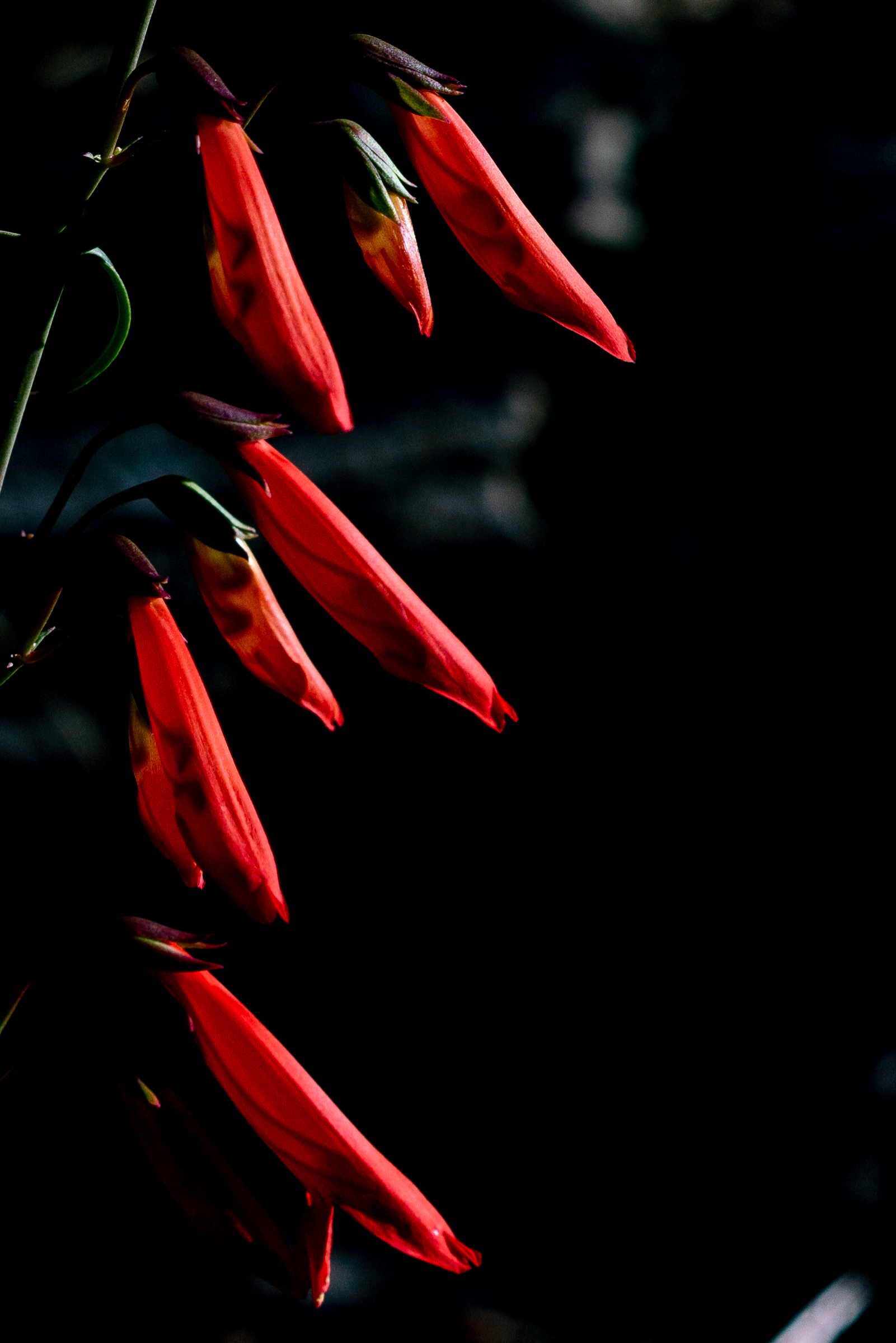
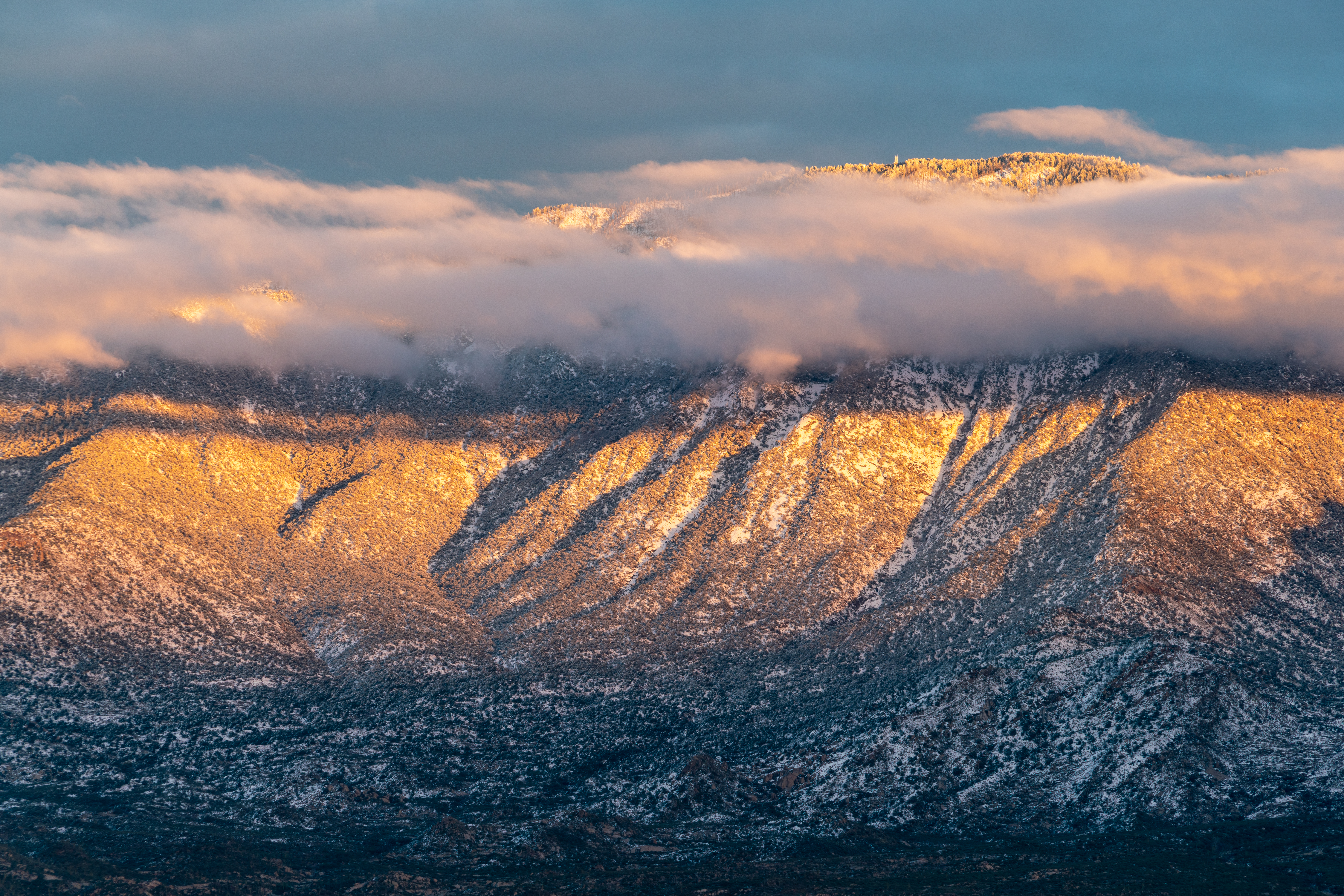
The hike to Romo Peak was steep and rugged, we never found any hint of a trail, and to our eyes the summit was remarkably like many other hilltops in the area. We spent some time at the top, enjoying the quickly melting snow, the great views, and wondering at the human activity in the area nearly 1,000 years ago that resulted in the Sutherland Wash Rock Art District and the Romo Cache.

Water in Sutherland Wash near the Golder Ranch South Parking Area. February 2019.
Rushing water in Sutherland Wash. February 2019.
Sutherland Wash Rock Art District Petroglyph. February 2019.
Corn perhaps? February 2019.
Sutherland Wash Rock Art District Petroglyph. February 2019.
A quiet moment at the Golder Ranch South Parking Area. February 2019.

Knagge Trail in the Snow – 2/11/2019

Snow near the top of the Knagge Trail. February 2019.

The Knagge Trail has the perfect amount of soft snow – plenty to enjoy, but not enough to require anything more than trekking poles and a little care to navigate. The old Knagge cabin site and mine are high enough to still have a light blanket of snow from this year’s unusually wet winter – lower on the trail, in oaks and sun, the snow disappears long before the large old cairn on the ridge and the carsonite marker declaring the end of the maintained trail. Past the marker the ‘trail’ seems obvious, drawing you down along the ridge connecting sections of maybe-this-is-the-old-trail just good enough to go just a little farther… Too soon any illusion that I am still on the old trail disappears and it is time to head back up.

Knagge Cabin site with a blanket of snow. February 2019.
Snow at the mine along the Knagge Trail. February 2019.
Ice along the Knagge Trail. February 2019.
Large old cairn and newer end of the maintained trail marker on the Knagge Trail. February 2019.
The 'trail' (maybe...) disappearing along the ridge below the end of the maintained trail marker. February 2019.
The ‘trail’ (maybe…) disappearing along the ridge below the end of the maintained trail marker. February 2019.
View of the Point 5817 and the cliffs north of Edgar Canyon from the Knagge Trail. February 2019.

Snow Day – 2/22/2019

Pusch Peak - snow and clouds! February 2019.
Pusch Peak – snow and clouds! February 2019.

A second day of snow in the desert! The almost-accumulating snow in our backyard was encouraging, and the snow on Pusch Ridge was alluring – but we pressed on northwards, past Catalina, all the way around to the American Avenue Trailhead in Oracle. Soft shin deep snow made our short Mariposa and Bellota Trail loop a unique experience! Even in Oracle the day had changed by noon – drips of melting snow were falling from the trees by the time we were back at the trailhead – but the snow on Pusch Ridge from Naranja Park in Oracle was amazing. Snow Day!!!

Bighorn Mountain. February 2019.
Domes above Alamo Canyon covered in snow. February 2019.
Snow covered Cholla on the Mariposa Trail in Oracle State Park. February 2019.
Snow covered Bellota Trail in Oracle State Park. February 2019.
Snow in Oracle State Park. February 2019.

Forest Road 18 to Radio Ridge, Summer, Winter – MVUM – 5/15/2018, 6/24/2018, 1/14/2019

FR18 - switchbacks and water tanks. May 2018.
FR18 – switchbacks and water tanks. May 2018.

Looking across Carter Canyon from the Mint Spring Trail you can see Forest Road 18 switchbacking up the burned out hillside, past cabins and water tanks, joining and following power lines up to Radio Ridge. It doesn’t have the same appeal as getting up to Radio Ridge on the Aspen or Aspen Draw Trail but summer flowers, winter snow, interesting views… maybe just worth it…

Carter Canyon and Summerhaven from FR18. June 2018.

East of the Mint Spring Trailhead FR18 leaves Carter Canyon Road as Miners Ridge Road – apparently the road was erroneously classified in the Forest Service Infrastructure Database (INFRA) as open to public motor vehicle traffic – corrected in the recently finalized Santa Catalina Ranger District Motorized Travel System where the note for FR18 reads:

In INFRA road is listed as having ML1 and ML2 portions, however, on the ground the road is currently closed to the public, but utilized by authorized personnel. Error in INFRA that restriction to public access not listed. Redesignate in INFRA as “Restricted to Administrative and Permitted Use Only”. ML 2. Radio Ridge access for Mt. Lemmon water district and TRICO Electric. Restricted to reduce intensity of resource impacts.

I don’t recall ever seeing a gate or signage on Miners Ridge Road indicating that it was closed in any way to the public and I assume the note is mainly referencing the top section (the upper section of the road is labeled Radio Ridge Road in Pima County’s GIS Information and Cap Rock Road by Google Maps) where the road has been gated at the Summit Trailhead to prevent public motor vehicle access for as long as I can remember.

FR18 as shown on the maps in the Santa Catalina Ranger District Motorized Travel System NEPA documents. February 2019.
Pygmy Bluet on the side of FR18. June 2018.
Penstemon off FR-18. June 2018.

I’m sure that FR18 is blanketed by snow every year but in previous years it hadn’t occurred to me that the snow covered road would be an interesting hike. This year I was a little smarter – lower on the road there were vehicle tracks, but they eventually disappeared and I plunged into untracked snow up to Radio Ridge – alone for a cold sunset – before making my way down partly by headlamp.

Winter - a snow covered FR-18 with Radio Ridge in the distance. January 2019.
Winter – a snow covered FR-18 with Radio Ridge in the distance. January 2019.
Tree off of Radio Ridge with the Rincons in the background. January 2019.
Snowy Santa Catalina Mountains from near the start of the Aspen Trail off Radio Ridge. January 2019.

New Year’s Day Snow – 1/1/2019

Snow on the Cholla and clouds over the Santa Catalina Mountains from the Golder Ranch North Parking Area. January 2019.

Snow in the desert! It didn’t last long, by mid-morning it was melting fast, and at the end of the day the snow line across the west side of the Santa Catalina Mountains was well above the desert floor.

2015 is the last time I took pictures of good ‘desert snow’ – in 2015 the snow line appears to have been a bit lower, Pima Canyon Trail in the Snow, 1/1/2015 has some pictures.

Beautiful to see and what a way to start the New Year!

Looking towards a snowy Charlouea Gap from the Golder Ranch Area. January 2019.
Cardinal and Snowy Cholla. January 2019.
Clouds swirling over Samaniego Peak. January 2019.
Cathedral Rock and Window Peak above the clouds. January 2019.
Sunset on Mount Lemmon. January 2019.
West side of the Santa Catalina Mountains from Honey Bee Canyon Park. January 2019.