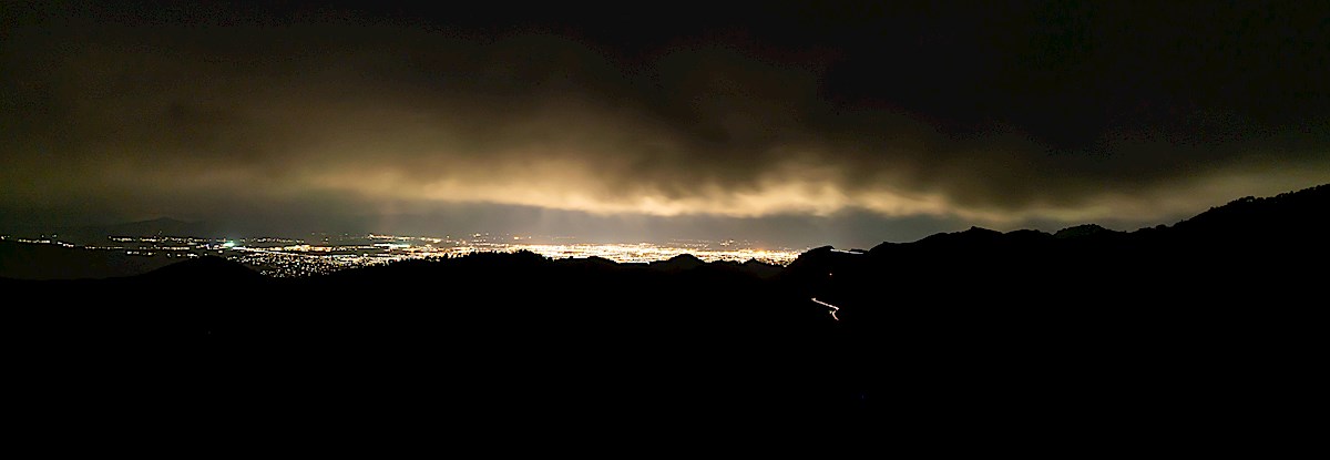
Light from Tucson, taken on Guthrie Mountain. May 2019.
On Guthrie Mountain cloudy grey skies block the stars, light from Tucson reflects off the clouds and floods into the mountains. Thru the camera lens the city lights are white hot metal, the clouds rising steam – the energy coming from the city is unfathomable, tonight it seems like Moloch’s incomprehensible prison is Howling out into the mountains.
Moloch whose eyes are a thousand blind windows! Moloch whose skyscrapers stand in the long streets like endless Jehovahs! Moloch whose factories dream and croak in the fog! Moloch whose smoke-stacks and antennae crown the cities!
Moloch whose love is endless oil and stone! Moloch whose soul is electricity and banks! Moloch whose poverty is the specter of genius! Moloch whose fate is a cloud of sexless hydrogen! Moloch whose name is the Mind!
Clouds, city and headlights on the highway from Guthrie Mountain. May 2019.
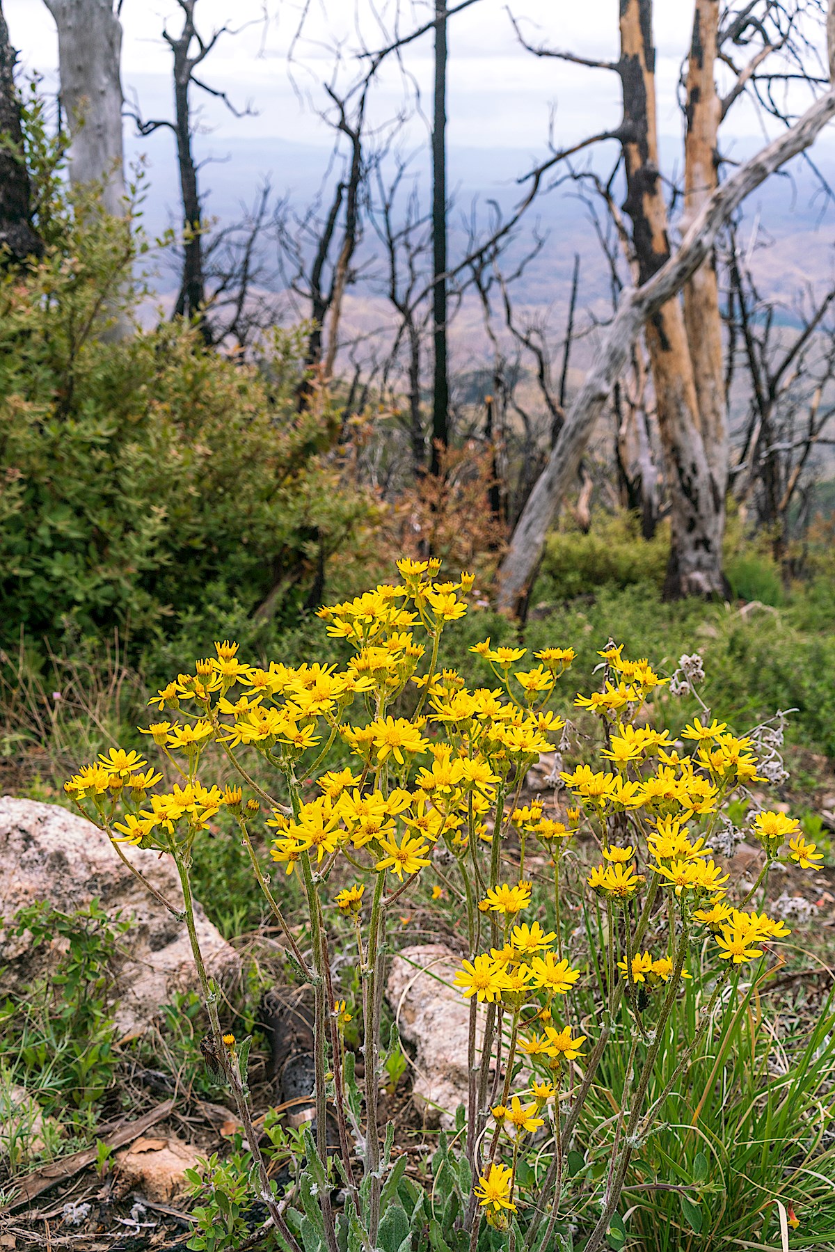
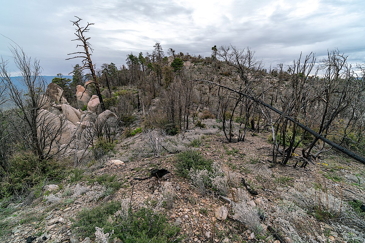
The images and thoughts above are fleeting – most of my overnight is the simple joy of being outside, nothing to do with Ginsberg’s anger and frustration – old graffiti and new flowers on the Green Mountain Trail; thick lines of black ants, new ferns and water at Maverick Spring; blackened trees, new views and fresh flowers in the Burro Fire burn that covers most of Guthrie Mountain and the ridge out to and past Point 7162.
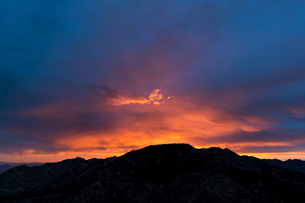
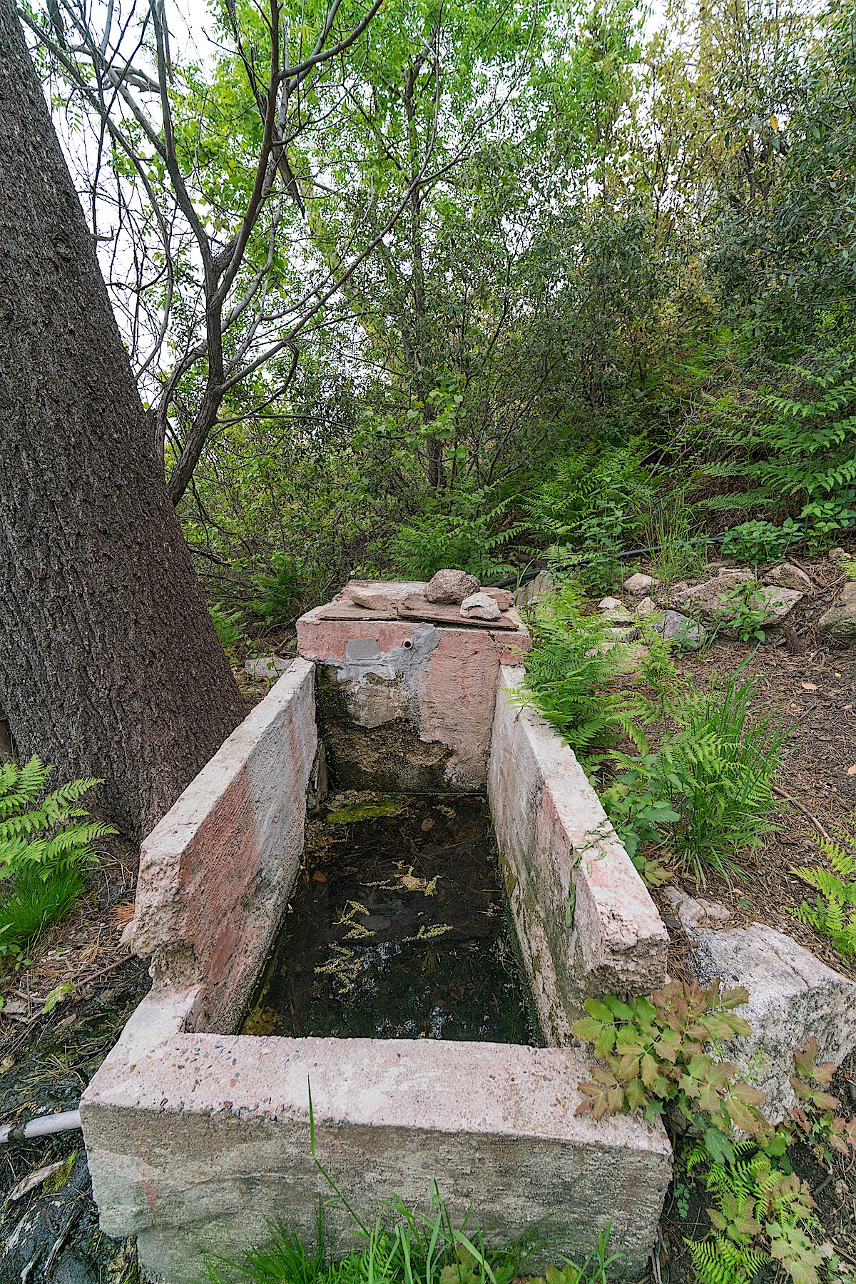
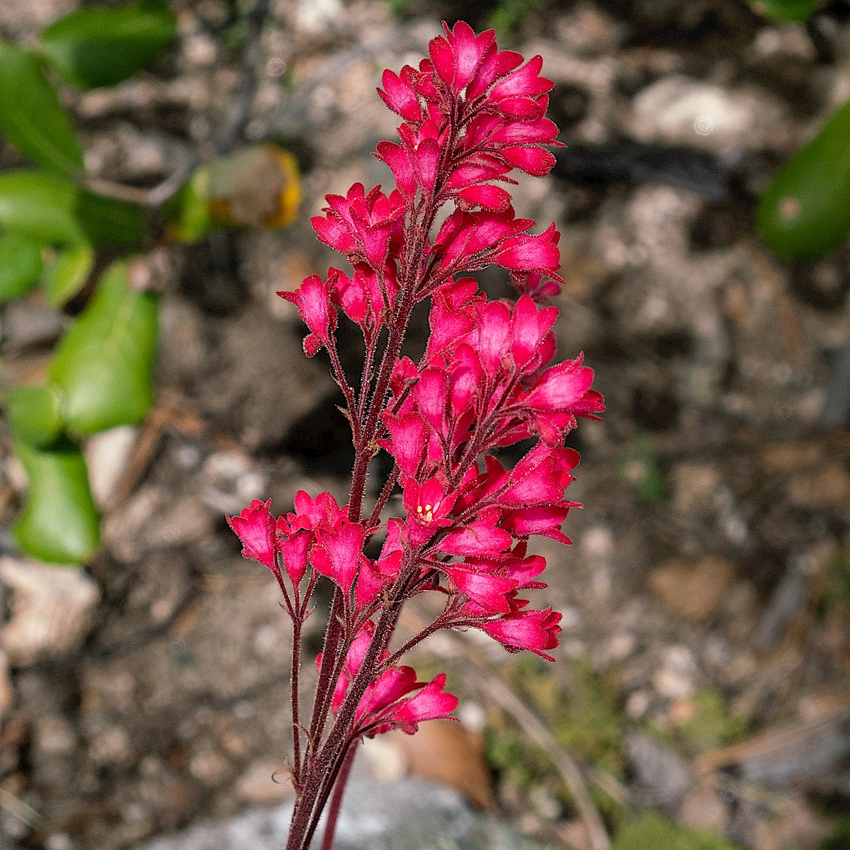
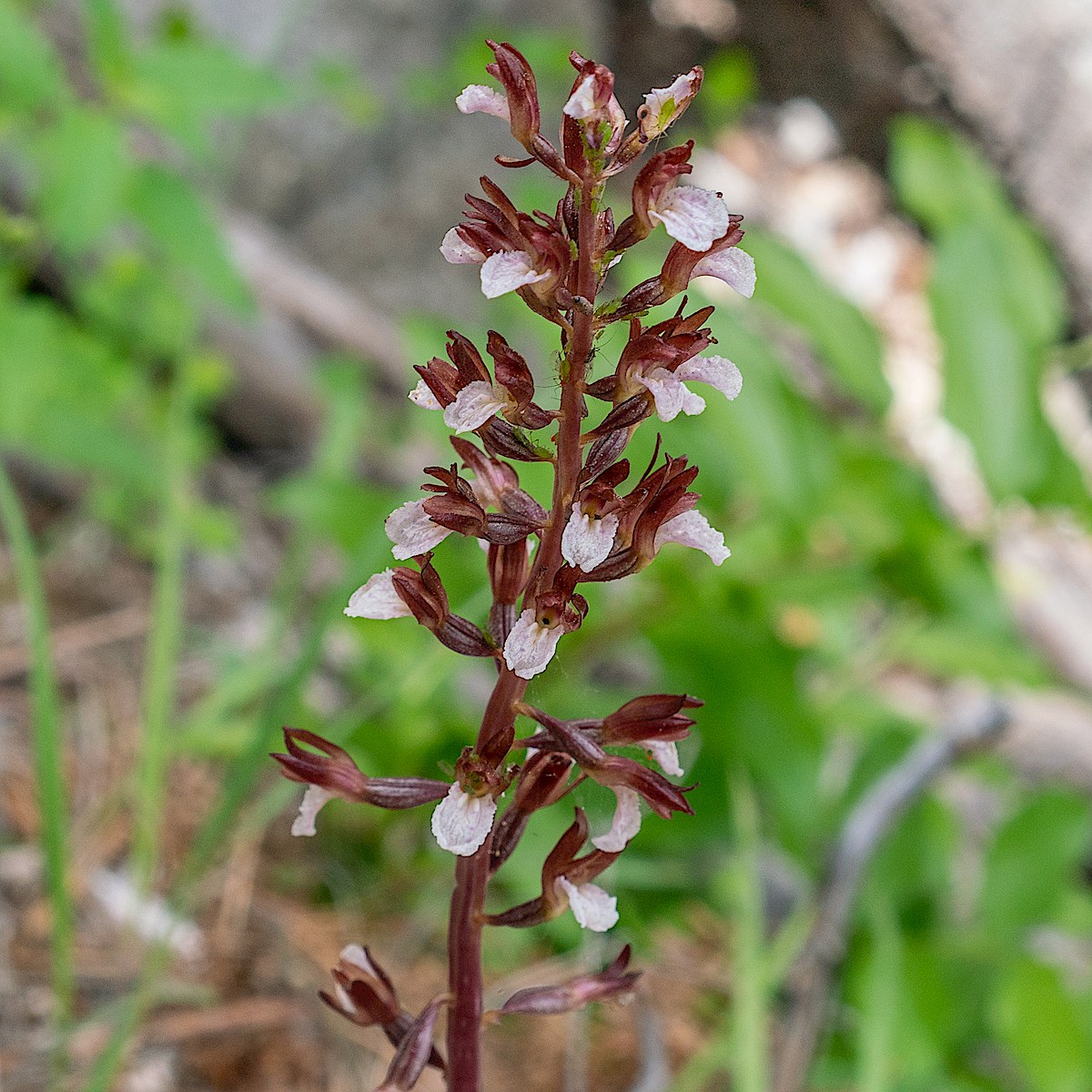
Sunset over Green Mountain – from Guthrie Mountain. May 2019.Flowers growing in and area burned by the Burro Fire. May 2019.Below Point 7162 in an area burned by the Burro Fire. May 2019.Tank with water at Maverick Spring. May 2019.Coralbells on the Green Mountain Trail. May 2019.Coralroot on the Green Mountain Trail. May 2019.
Brinkley Point, perched in the middle of the Santa Catalina Mountains, is protected by an off trail approach and a modest distance and elevation profile that don’t really lend themselves to bragging. A beautiful sunset, a wait in the fading light, and then the real show begins – moonlight on the inner basins, ridges and canyons. Alone on the small point I take pictures, briefly watch headlamps on the East Fork Trail and let my mind wander. Early in the AM I wake up to take a few more pictures and find the sky covered by clouds reflecting the city lights.
Sunset – looking across the Santa Catalina Mountains and over Agua Caliente hill to the Rincons. April 2019.Night on Brinkley Point. April 2019.Camped under the full moon on Brinkley Point . April 2019.Moonlight and clouds – looking towards the city lights from Brinkley Point. April 2019.
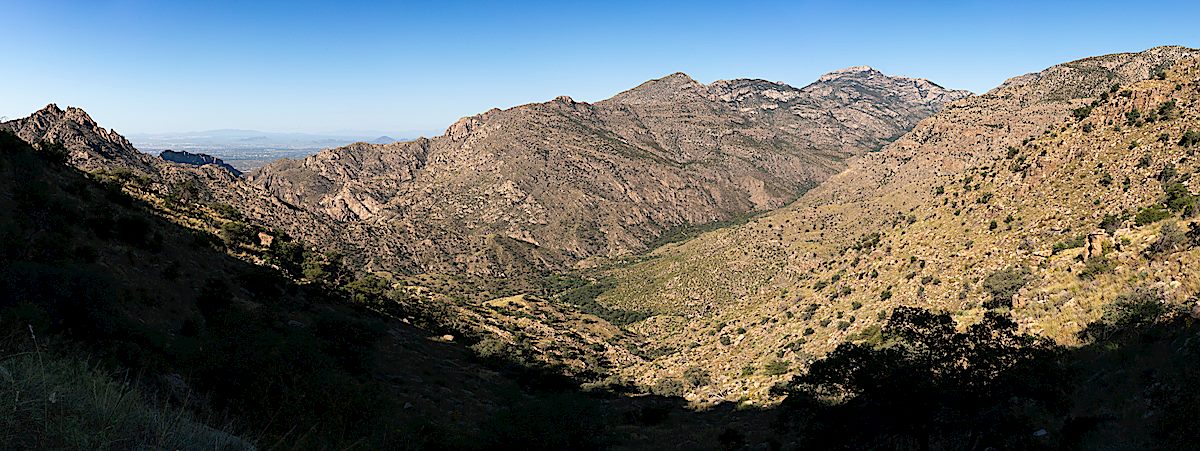
A view from a ridgetop section of the Box Camp Trail. September 2018.
Pictures from last Fall – watery Hutch’s Pools, a bright moonrise from the West Fork and a beautiful night – but what really sticks in my mind is the lower half of the Box Camp Trail. The rough trail hides other footsteps – hard to guess the last time someone has been here – an hour? a week? Nice to be alone and wonder!
Water at a canyon crossing on the Box Camp Trail. September 2018.Grinding holes along the West Fork Trail. September 2018.Hutch’s Pool off the West Fork Trail. September 2018.Moonrise on the West Fork Trail. September 2018.Camped above the junction of the Bear Canyon, East Fork and Sycamore Reservoir Trails. September 2018.Looking across the Santa Catalina Mountains towards Romero Pass. September 2018.Sacred Datura in the Sycamore Reservoir Area. September 2018.
A view into the Santa Catalina Mountains from the Palisade Trail. September 2018.
Simple – down the Palisade Trail, along the East Fork Trail to water, back up the Palisade Trail – I can’t remember ever recommending this route to someone and probably never will – once you’ve made it down the Palisade Trail to the East Fork Junction there are so many nearly-impossible-to-resist connections into other parts of the mountain! But simplicity has its place and the Palisade Trail is a great place to spend time – besides, no two trips along the trail are ever the same.
Tank at Mud Spring – dry, water still runs across the trail making the namesake Mud, but the tank is dry. September 2018.
This is the first time I can remember finding the cement tank at Mud Spring completely empty – the spring is still running, the familiar patch of mud along the trail – but the tank is dry, I assume something is cracked and broken.
Late summer growth over the Palisade Trail. September 2018.A summer storm moving across the Santa Catalina Mountains. September 2018.
A summer storms rolls across the trail – enough rain to give me a brief excuse to get out the rain gear and take a break under an Oak Tree before continuing along the impressively grassy and overgrown trail. I knew I would have to walk west on the East Fork Trail to find water – but I have to walk a little farther than expected, eventually finding a large pool to filter and refill from. Back up the trail to one of the grassy ridges above Sabino Canyon – a few more mosquitoes than expected but a lovely night – and then back up to the Palisade Trailhead the next day…
Camped near the Palisade Trail above Sabino Canyon. September 2018.Milkweed bugs along the Palisade Trail. September 2018.Fall Color – a Coral Bean lower on the Palisade Trail. September 2018.
The rocks look like maps – they remind me of the shape of the San Pedro River and of the brutal line that the SunZia project may cut thru this landscape. On four different days I explored the canyons under, and terrain around, the proposed SunZia route – from the north edge of Buehman Canyon, across the hills to Edgar Canyon and up to the Brush Corral Road.
In Buehman Canyon – looking up at the sky – the lines of the SunZia project may one day interrupt this view. February 2018.
Recent rains must have filled Buehman Canyon with water – there is wall to wall slippery mud and debris pressed against the tree trunks. I suppose the power lines hanging overhead won’t change the canyon much, but there is an infinite difference between nothing and something.
Sitting on the south side of the Buehman Canyon the first stars of the evening appear over the SunZia route – towers on the canyon sides may eventually carry the transmission lines across Buehman Canyon – man-made shapes added to the dark silhouette of land below the stars.
First stars appearing – looking south across Buehman Canyon on the Proposed SunZia Route. February 2018.
Early in the morning the milky way is low in the sky and frost covers my gear, a cold start quickly changes to a warm day hiking north thru the desert. The SunZia route crosses the Brush Corral Road and continues across hills and small washes towards Edgar Canyon, both the Santa Catalinas and Galiuros are visible. A long set of access roads will be cut into these hills to construct and maintain the lines.
A panoramic view from the SunZia route with both the Santa Catalina Mountains (left) and Galiuros (right) in the distance. February 2018.Empty desert – walking north along the proposed SunZia route to the sourth side of Edgar Canyon. February 2018.Looking north across Edgar Canyon on the proposed SunZia route. February 2018.Sky above Edgar Canyon along the proposed SunZia transmission line route. January 2018.
The lower section of Edgar Canyon is a surprise, more to explore, and more reason to come back, than I had guessed – like Buehman Canyon there aren’t towers or new access roads in the canyon bottom – ‘just’ a line imprisoning the sky. From the edge of Edgar Canyon the line follows hills and washes to the Davis Mesa Road.
An abandoned tank south of the Brush Corral Road near the proposed SunZia route. January 2018.Sunzia Route Crossing the Davis Mesa Road with the Galiuros in the background. January 2018.
It is sad to think about the changes coming to this landscape – I read Chris Townsend’s Thoughts on the Conservation and Restoration of Nature in Scotland while working on images for this post and found it encouraging and relevant – I am not familiar with the places and organizations in his post, but I suspect the subject will be immediately familiar regardless of your location:
Whilst the Gleann nam Fiadh track is depressing there is much that is positive in the conservation and restoration of nature in the Scottish hills and elsewhere in Britain. Not enough certainly but looking at what is being done can counter the feelings of despair when more damage occurs. It can also encourage a desire to help protect what is left and restore what we can. Public pressure is what counts here. I doubt many politicians would do much without it (there are a few who would, perhaps). It’s easy to think that one person can’t do anything and that signing petitions, sharing and commenting on posts on social media, and writing to representatives achieves nothing. However any effect from these actions is cumulative. If enough people take part then sometimes a momentum can build towards something happening. The alternative is to give up.
The proposed SunZia route from Buehman to Edgar Canyon – 12 towers (yellow dots), miles or new roads plowing thru the desert (red lines), 4 days of exploring the area (blue lines). March 2018.
The Cascabel Working Group’s SunZia Page has some current status information from the project and a link to a history of the group’s work “Helping the SunZia transmission line project to understand that the environmentally unique San Pedro River Valley is NOT a viable location for a major powerline corridor.”


