SunZia, Buehman Canyon to Brush Corral Road – 1/8/2018, 1/16/2018, 2/25/2018, 2/26/2018

Rocks, Lines. February 2018.

(This is Part Two of a series of Posts on the SunZia Transmission Line Project – the previous post was SunZia – Redington Road North to Buehman Canyon – 12/12/2017. See the bottom of either post for more information about SunZia.)

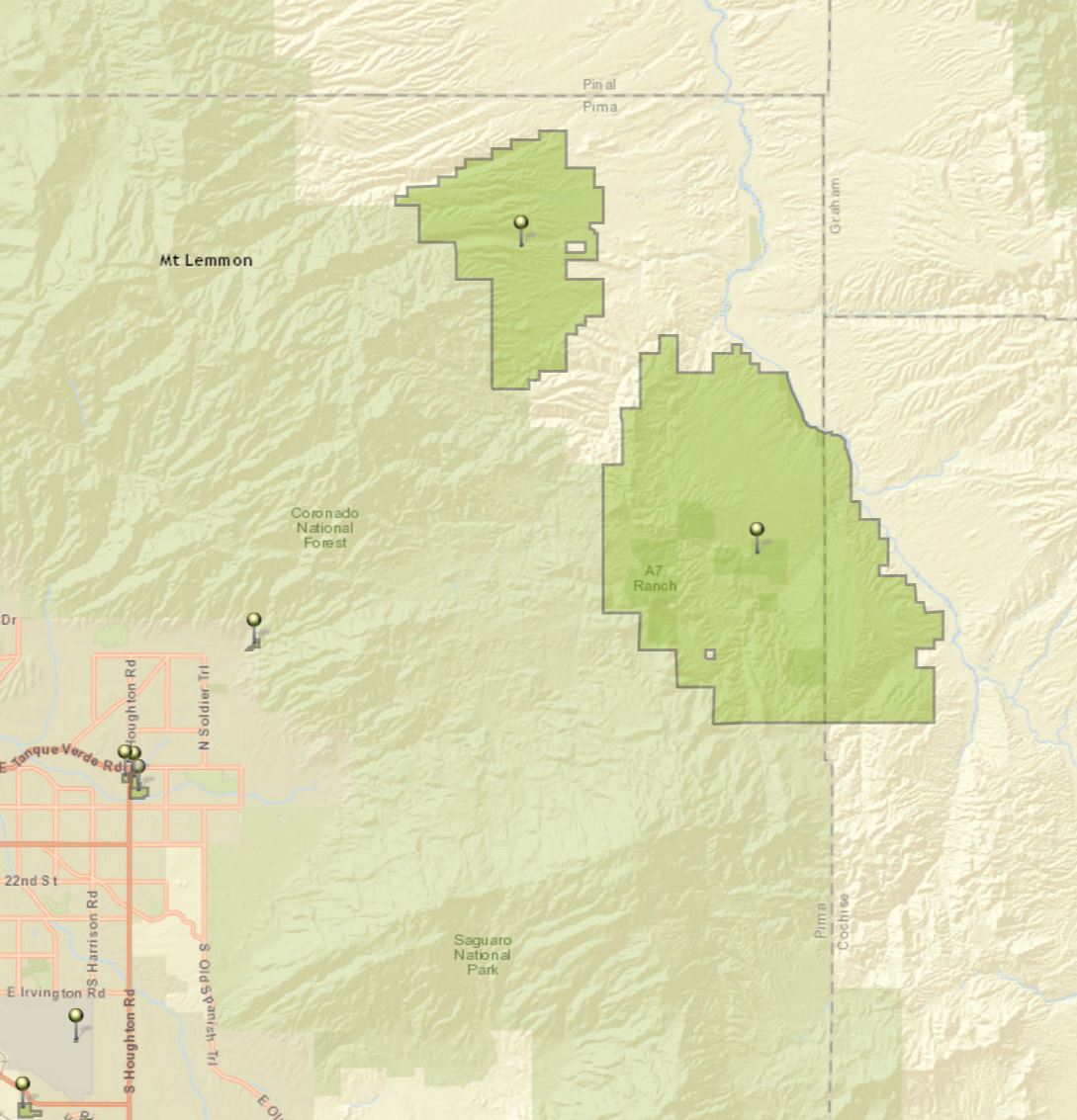
The rocks look like maps – they remind me of the shape of the San Pedro River and of the brutal line that the SunZia project may cut thru this landscape. On four different days I explored the canyons under, and terrain around, the proposed SunZia route – from the north edge of Buehman Canyon, across the hills to Edgar Canyon and up to the Brush Corral Road.

In Buehman Canyon - looking up at the sky - the lines of the SunZia project may one day interrupt this view. February 2018.
In Buehman Canyon – looking up at the sky – the lines of the SunZia project may one day interrupt this view. February 2018.

Recent rains must have filled Buehman Canyon with water – there is wall to wall slippery mud and debris pressed against the tree trunks. I suppose the power lines hanging overhead won’t change the canyon much, but there is an infinite difference between nothing and something.

Sitting on the south side of the Buehman Canyon the first stars of the evening appear over the SunZia route – towers on the canyon sides may eventually carry the transmission lines across Buehman Canyon – man-made shapes added to the dark silhouette of land below the stars.

First stars appearing - looking south across Buehman Canyon on the Proposed SunZia Route. February 2018.
First stars appearing – looking south across Buehman Canyon on the Proposed SunZia Route. February 2018.

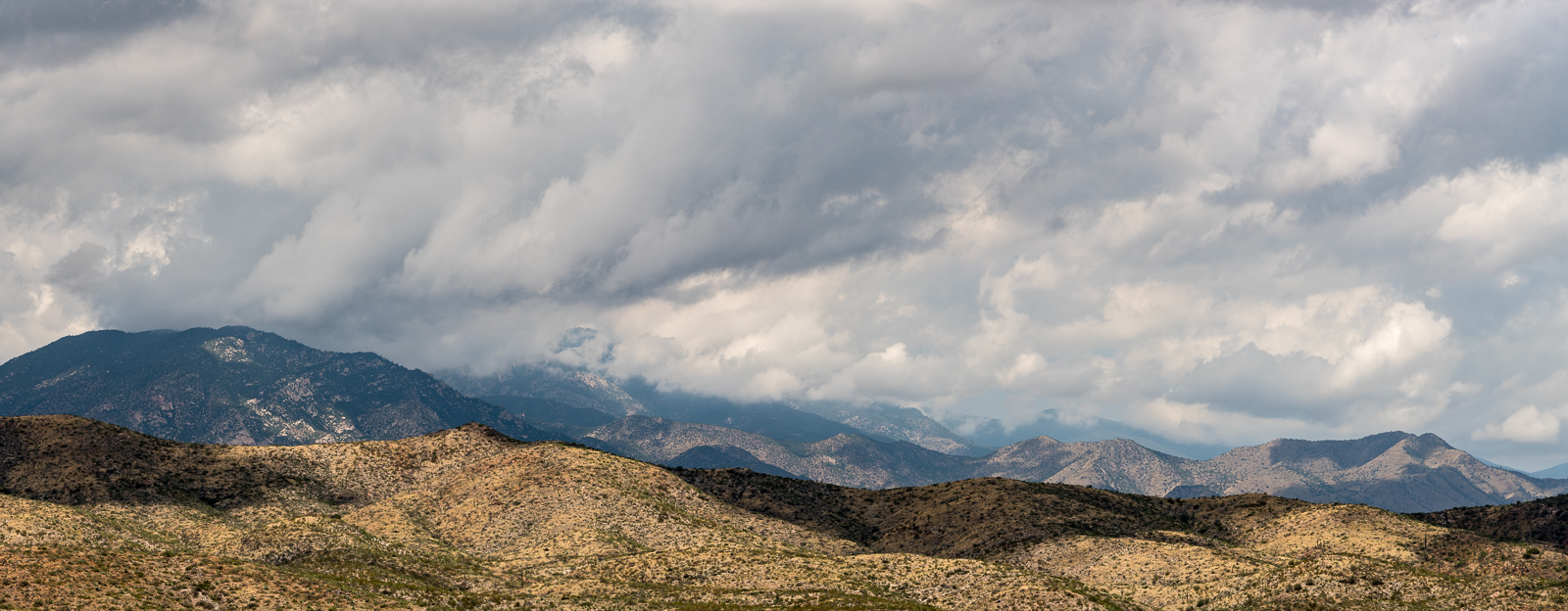
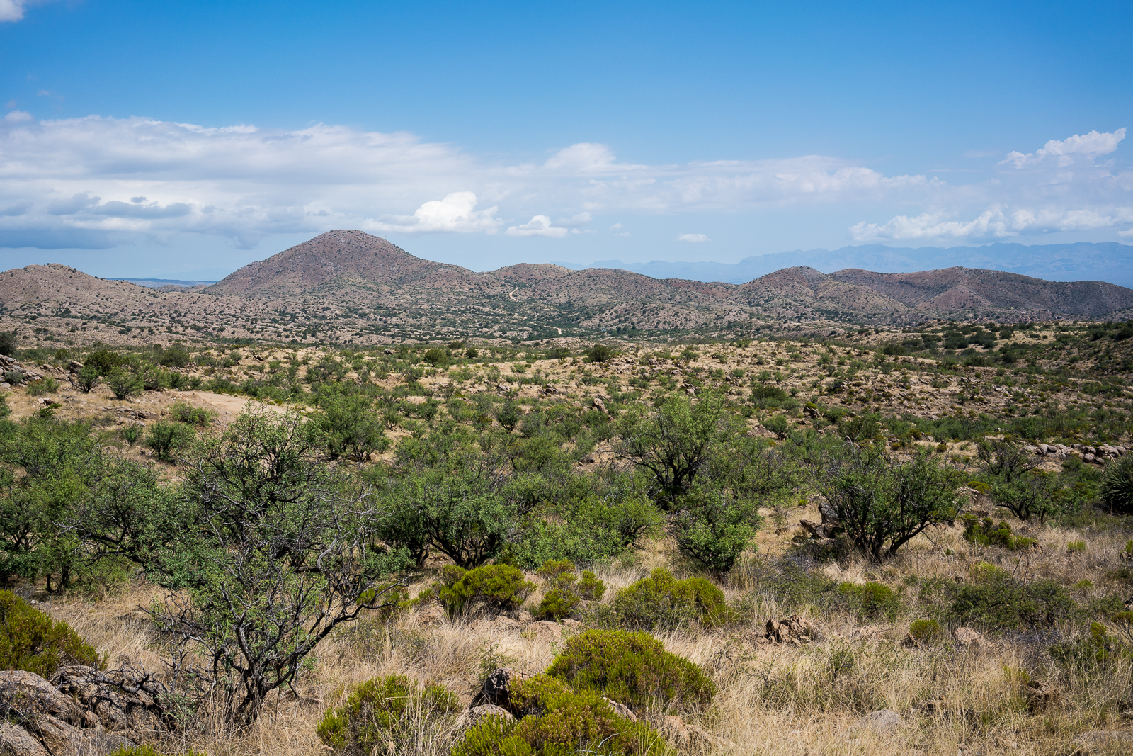
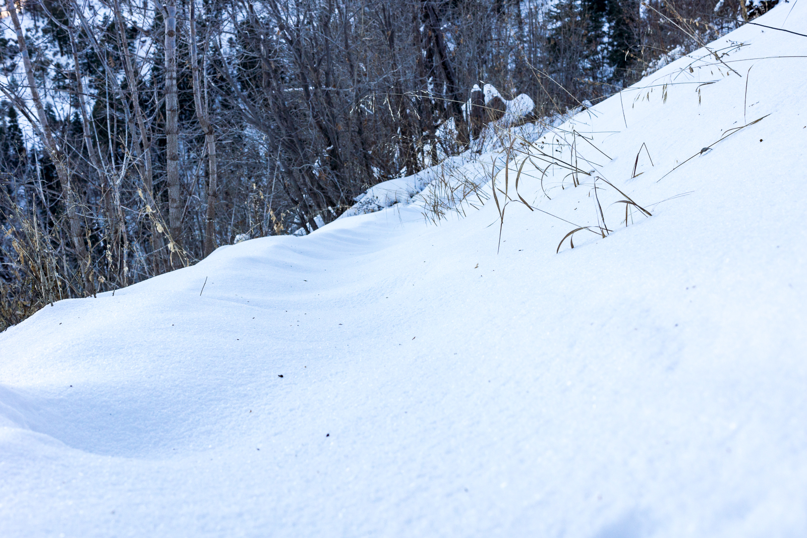
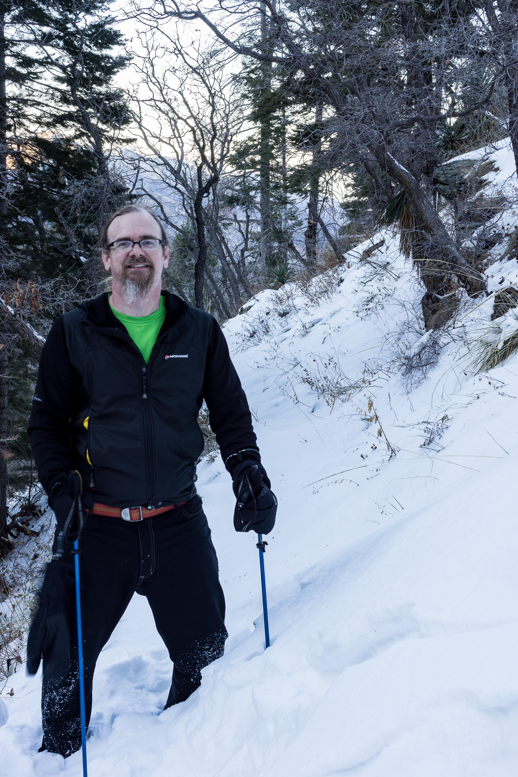
Early in the morning the milky way is low in the sky and frost covers my gear, a cold start quickly changes to a warm day hiking north thru the desert. The SunZia route crosses the Brush Corral Road and continues across hills and small washes towards Edgar Canyon, both the Santa Catalinas and Galiuros are visible. A long set of access roads will be cut into these hills to construct and maintain the lines.

A panoramic view from the SunZia route with both the Santa Catalina Mountains (left) and Galiuros (right) in the distance. February 2018.
Empty desert - walking north along the proposed SunZia route to the sourth side of Edgar Canyon. February 2018.
Empty desert – walking north along the proposed SunZia route to the sourth side of Edgar Canyon. February 2018.
Looking north across Edgar Canyon on the proposed SunZia route. February 2018.
Sky above Edgar Canyon along the proposed SunZia transmission line route. January 2018.

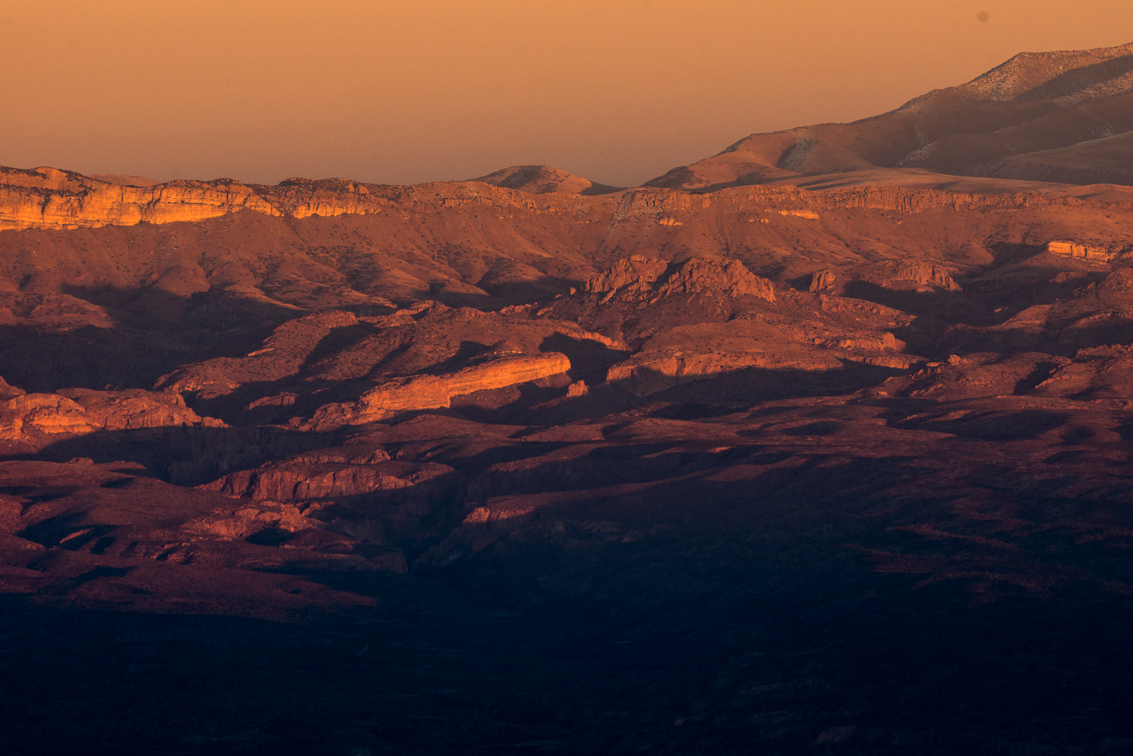
The lower section of Edgar Canyon is a surprise, more to explore, and more reason to come back, than I had guessed – like Buehman Canyon there aren’t towers or new access roads in the canyon bottom – ‘just’ a line imprisoning the sky. From the edge of Edgar Canyon the line follows hills and washes to the Davis Mesa Road.

An abandoned tank south of the Brush Corral Road near the proposed SunZia route. January 2018.
Sunzia Route Crossing the Davis Mesa Road with the Galiuros in the background. January 2018.

It is sad to think about the changes coming to this landscape – I read Chris Townsend’s Thoughts on the Conservation and Restoration of Nature in Scotland while working on images for this post and found it encouraging and relevant – I am not familiar with the places and organizations in his post, but I suspect the subject will be immediately familiar regardless of your location:

Whilst the Gleann nam Fiadh track is depressing there is much that is positive in the conservation and restoration of nature in the Scottish hills and elsewhere in Britain. Not enough certainly but looking at what is being done can counter the feelings of despair when more damage occurs. It can also encourage a desire to help protect what is left and restore what we can. Public pressure is what counts here. I doubt many politicians would do much without it (there are a few who would, perhaps). It’s easy to think that one person can’t do anything and that signing petitions, sharing and commenting on posts on social media, and writing to representatives achieves nothing. However any effect from these actions is cumulative. If enough people take part then sometimes a momentum can build towards something happening. The alternative is to give up.

The proposed SunZia route from Buehman to Edgar Canyon - 12 towers (yellow dots), miles or new roads plowing thru the desert (red lines), 4 days of exploring the area (blue lines). March 2018.
The proposed SunZia route from Buehman to Edgar Canyon – 12 towers (yellow dots), miles or new roads plowing thru the desert (red lines), 4 days of exploring the area (blue lines). March 2018.

Some SunZia reading material:

Rocks along the SunZia route - beautiful patterns, an ancient map of the landscape. February 2018.
Rocks along the SunZia route – beautiful patterns like an ancient map of the landscape. February 2018.

Sunset, Snow, Inspiration Rock and Box Elder Picnic Area – 1/30/2017

Snowy ridges from Inspiration Rock. January 2017.
Sunset from Inspiration Rock. January 2017.
Last light on the Galiuro Mountains from the Box Elder Picnic Area. January 2017.

Almost Super Moon from Kellogg Mountain – 11/13/2016

We hike up the Bigelow Trail to the junction with the Butterfly Trail and then wander up to the top of Kellogg Mountain. Tall trees on the eastern slope, missed by the fires that scorched much of the mountain over a decade ago, block our view – from a rocky perch farther down the ridge we can clearly see Bassett Peak and the spot where the moon will rise – just a few minutes of waiting in the cold wind and then…

Almost supermoon - moonrise. November 2016.
Almost supermoon – moonrise. November 2016.
Moon over the Galiuro Mountains. November 2016.

On the 13th the moonrise was about 10 minutes before the sunset and we thought with some luck we might get the almost-supermoon rising against beautiful sunset color – it didn’t quite work out exactly as planned, the light on the eastern mountains faded faster than expected – but still beautiful, and the clouds around the setting sun were spectacular!

Sunset from Kellogg Mountain. November 2016.

Pima County’s A-7 Ranch – 7/2/2016

A sign on Redington Road marking the boundary of Pima County's A-7 Ranch. July 2016.
A sign on Redington Road marking the boundary of Pima County’s A-7 Ranch. July 2016.

A small sign on Redington Road announces the boundary of Pima County’s A-7 ranch – there is no welcoming trail map, list of rules, historic marker or dedications – just a simple sign, easy enough to miss, the land on either side looks the same.

A storm over the Santa Catalina Mountains - A-7 Ranch between Redington Road and the San Pedro River.
A storm over the Santa Catalina Mountains – taken from a road on the A-7 Ranch – between Redington Road and the San Pedro River. June 2016.

The A-7 Ranch is owned by Pima County – it was purchased with funds from a voter approved 2004 Bond program that made $174 million dollars available for open-space purchases. The A-7 stretches from Buehman Canyon in the Santa Catalina Mountains down to the North East corner of the Rincon Mountains – it is bordered on the east by the San Pedro River and helps to connect the Galiuro, Rincon and Santa Catalina Mountains.

Two of Pima County's open space purchases - the Six Bar Ranch (upper) and the A-7 Ranch (lower). Santa Catalina Mountains (upper left), Rincon Mountains (lower center) and the edge of the Galiuro Mountains (upper right). July 2016.
Two of Pima County’s open space purchases – the Six Bar Ranch (upper pin) and the A-7 Ranch (lower pin). Santa Catalina Mountains (upper left), Rincon Mountains (lower center) and the edge of the Galiuro Mountains (upper right). July 2016.

Access information can be found here – don’t expect to find a network of established hiking trails… Some recent history from a Pima County Report:

The 41,000 acre A-7 Ranch lies northeast of Tucson along Redington Road, between the Catalina and Rincon Mountains and the San Pedro River. The County acquired the ranch from the City of Tucson in 2004. The City had purchased the ranch in 1999. Prior to the City’s purchase, the ranch was part of a larger ranch totaling about 96,000 acres known as the Bellota Ranch, which was owned and operated by the Riley-West Corporation for 20 years. The A-7 portion of the Bellota Ranch was sold to the City, while the Forest Service grazing permit was sold to the owners of the Tanque Verde Guest Ranch.

Piety Hill, A-7 Ranch, Redington Road. July 2016.
Redington Road heading towards Piety Hill on the A-7 Ranch. July 2016.

Snow on the Butterfly Trail – 12/16/2015

Snow on the Butterfly Trail! December 2015.

Somewhere after the Gordon Hirabayashi Recreation Site I started to notice the snow in the shade and by the time I was in Bear Canyon there were small piles of snow on the side of the Highway!

Enjoying the snow on the Butterfly Trail. December 2015.

Higher on the mountain I watched sledding and snow ball fights – it was great to see people out and enjoying the snow – but it was also beautiful to leave the people behind and enjoy the nearly empty Butterfly Trail – I hiked out to Butterfly Peak, watched the sunset and hiked back in the quiet snow under a sliver moon.

Watching the sunset from Butterfly Peak - looking into the San Pedro Valley and across to the Galiuros. December 2015.
Watching the sunset from Butterfly Peak – looking into the San Pedro Valley and across to the Galiuros. December 2015.