Up the Romero Canyon Trail from Catalina State Park – flowers and pools, steep climbs, stops at the two big fire rings and good memories of past hikes with friends.
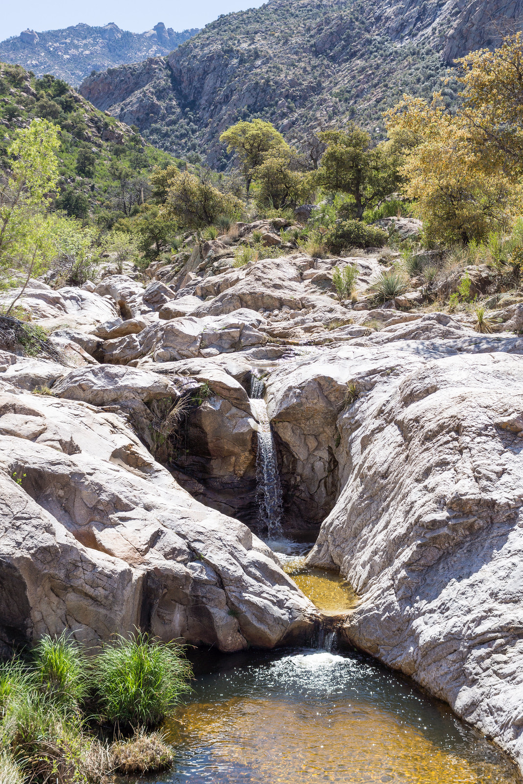
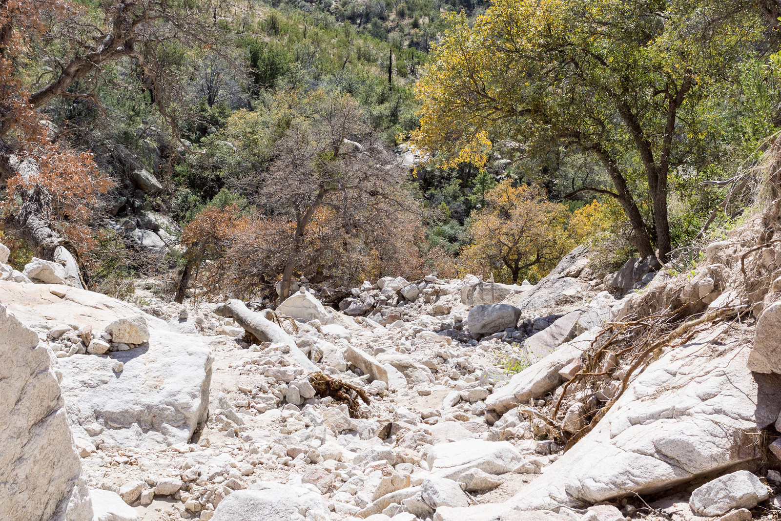
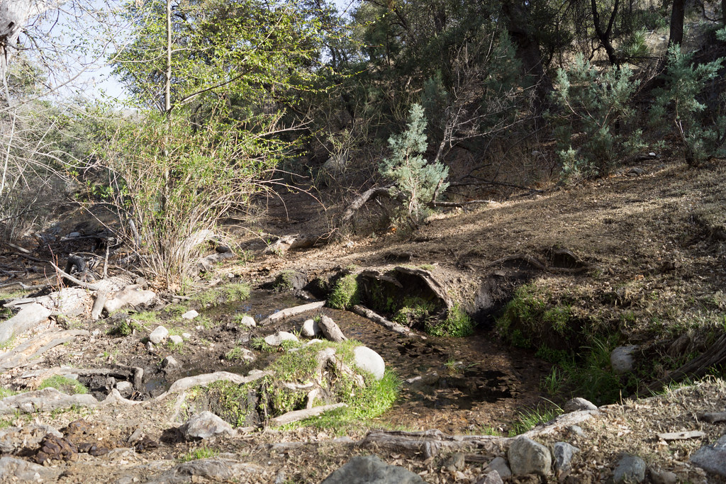
Pools in Romero Canyon – above Romero Pools. March 2015.Following the cairns along a section of washed out trail in Romero Canyon. March 2015.
From Romero Pass I wandered off-trail to random points and points where Bighorn Sheep have stood, slowly collecting vegetation data as a volunteer for a AZGF research project.
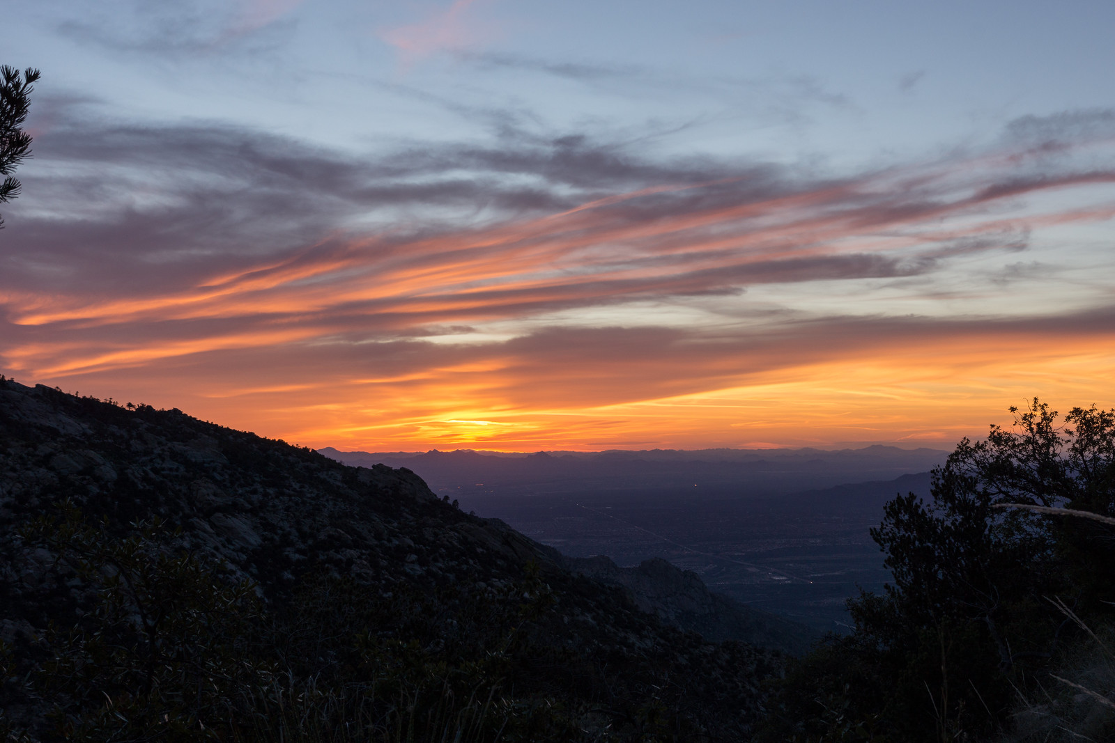
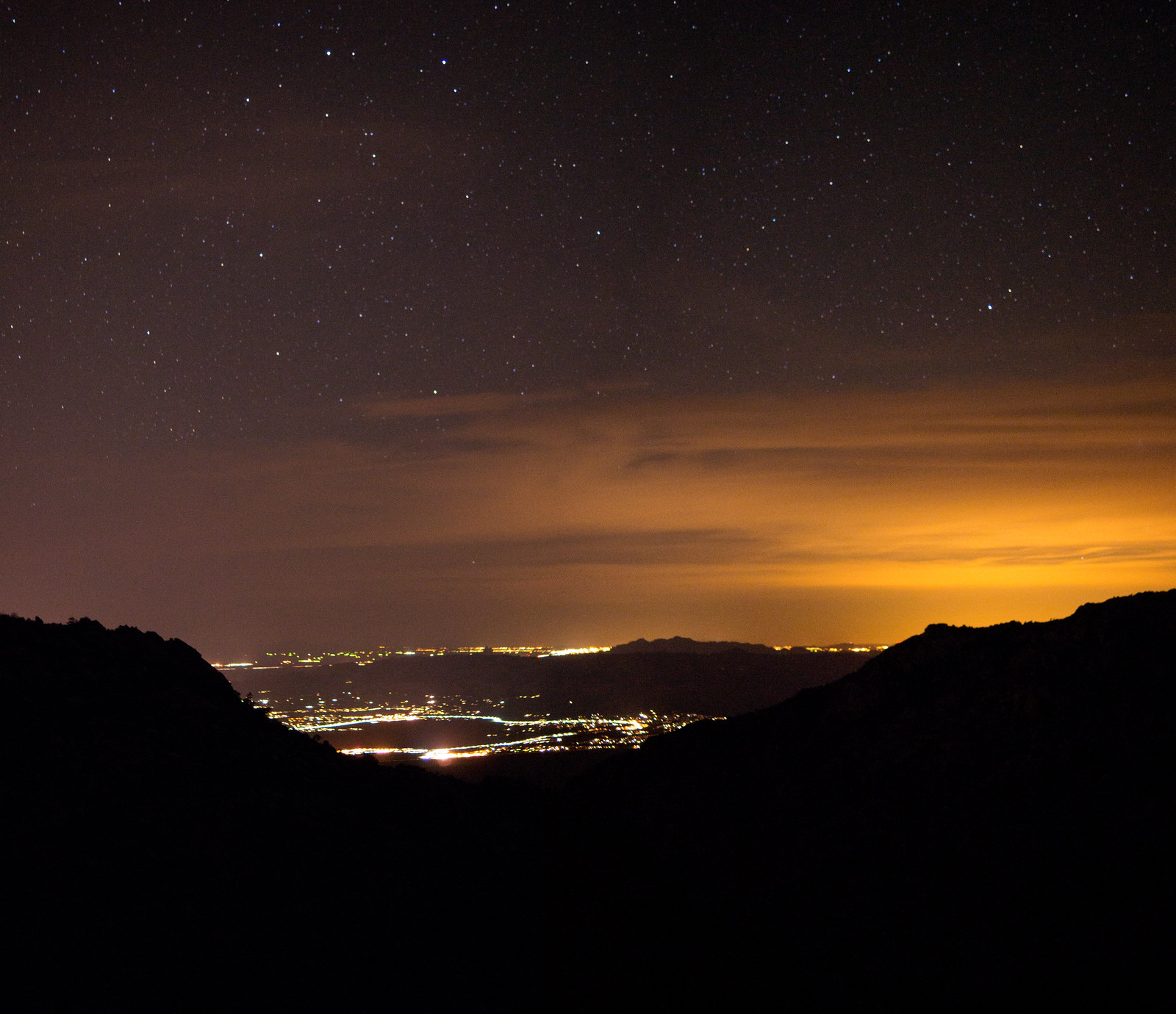
Sunset from the Mount Lemmon Trail, a few minutes above Romero Pass. March 2015.Looking down into town from near Romero Pass. March 2015.
The sliver moon disappeared early in the night, with temperatures were the 30s I spent most of my time in my quilt, reading, watching the clouds, looking at the stars and occasionally taking a picture.
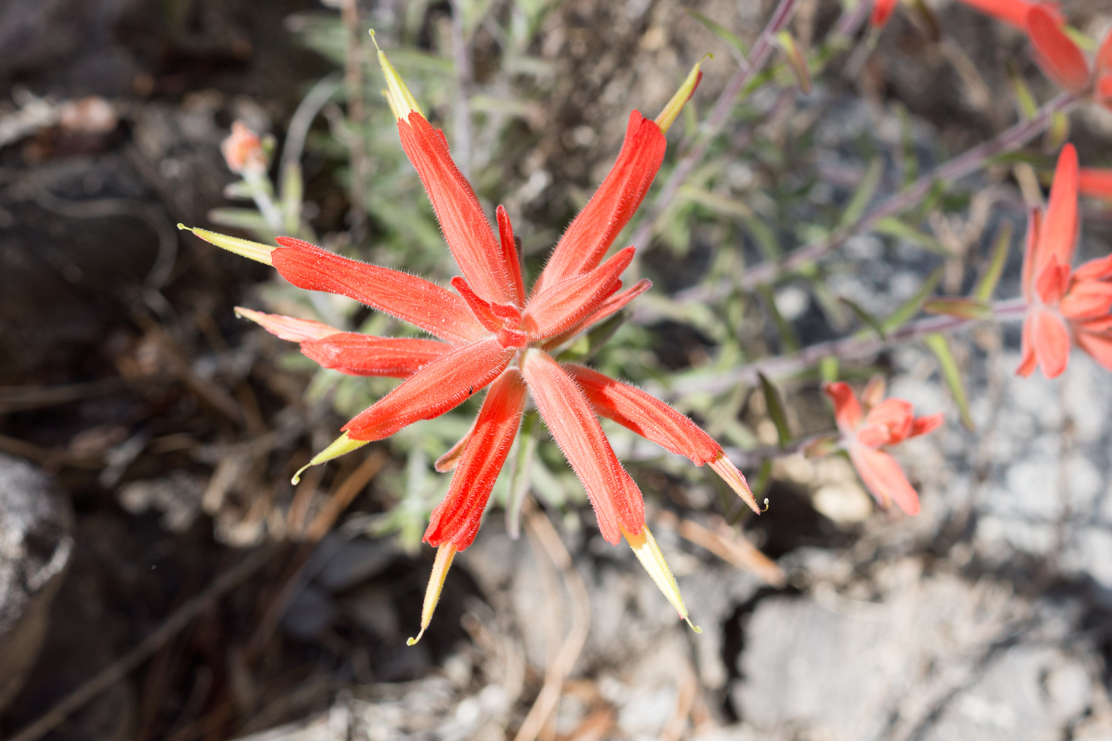
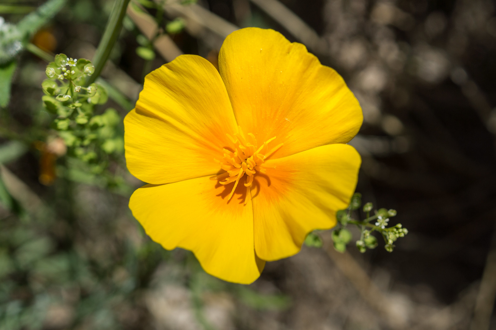
Indian Paintbrush along the Romero Canyon Trail. March 2015.A poppy on the Romero Canyon Trail. March 2015.
It was warm on the way down, as the trail went lower I hurried thru the sun back to the car. 20 miles, +/-6000′ of elevation gain and loss.
Bighorn Reintroduction status update for April 28 – May 11, 2014 (all updates are currently available here) – no mortalities this period and the first update that I have seen that has almost no noteworthy content. The one exception may be the statement that “As the lambing season draws to a close it is encouraging to note that the survivability of the known lambs has exceeded expectations”. The yearly prohibition on travel more than 400 feet off of established trails in the Bighorn Sheep Management Area ended April 30.
On 5/1 Stage 1 Fire Restrictions were announced in the Coronado National Forest – including the Santa Catalina Mountains. This seems to happen at some point every year – read the entire document for all the details – the highlights for backpackers –
Prohibited: “Building, maintaining, attending, or using a fire, campfire, charcoal, coal, or wood stove” is prohibited
Allowed: “LPG-fueled stoves, lanterns, or heating devices which meet the fire underwriter’s specifications for safety and can be tlll’ned on/off are a llowed so long as u sed in an area that is barren or cleared of all overhead and surrounding flammable materia ls within 3 feet of the device.”
Coronado National Forest to host workshop May 17 regarding draft land management plan and recommended wilderness – “Interested parties are invited to share ideas with personnel from the Coronado on specific areas under consideration for recommendation for wilderness designation.” None of the areas under consideration are adjacent to the Santa Catalina Mountains but this is an important topic for the Coronado National Forest. The Coronado National Forest – Forest Plan Revision page is a good source for information. A Mountain Project thread about the potential inclusion of popular climbining areas in the Dragoon Potential Wilderness Area.
5/13 – The SARA Facebook Page reports that “The Pima County Sheriff’s Department requested SARA’s services to assist a lost/injured hiker Monday night at 21:30. The hiker was located at approximately 0100 this morning, high up in Pima Canyon between Pima Spring and Pima Saddle and is currently being escorted out by a team of four. They’re expected out of the field sometime after 8am this morning. A very long night for our volunteers. Good job as always guys and girls!”
For several years I have looked down into the Peck Basin Area and wondered what was down there… I suppose that the easiest way to get into that area is via the Davis Spring Trailhead on the north side of the Mountain – but part of my fascination with Peck Basin is a curiosity about a trail that seems to be disappearing back into the mountain: the Knagge Trail…
I was dropped off at the bottom of the Incinerator Ridge Road, walked up to the Trailhead and soon enough I was headed down the Knagge Trail, familiar territory and notably easier to follow than it was last September with the plants along the trail brown and flat.
Near the top Knagge Trail. March 2014.
The Cabin, the mine and the current end of the well established trail all come quickly – and then off onto the ridge below. Unlike my last trip I don’t use any time trying to find the original trail – instead I just work on finding the easiest way down the ridge – an occasional cairn, faint paths that look for a second like a trail, brushy puzzles, beautiful open grassy sections, views down into my destination…
Ridge below the Knagge Trail. March 2014.
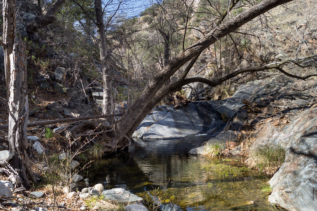
I am counting on water in the South Fork of Edgar Canyon and the canyon does not disappoint – clear rushing water!
Water in the South Fork of Edgar Canyon. March 2014.
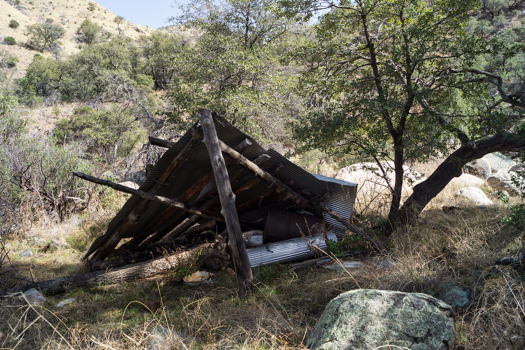
I work down canyon trying to find the easiest path – up around a box, past an old shelter, thru a fence – here I see the first signs of the cows who live in this area…
Fallen Shelter. March 2014.
I cut out of the canyon, over the ridge and into the drainage with Araster Spring and Peck Basin (this canyon is referred to as Edgar Canyon in the Cowgill and Glendening guide but the USGS 7.5′ Map labels the canyon to the south as Edgar Canyon…). I see more cows on the ridge above and follow their tracks and dung up canyon to Araster Spring and slightly beyond. Araster Spring is beautiful but slightly trampled.
Araster Spring. March 2014.
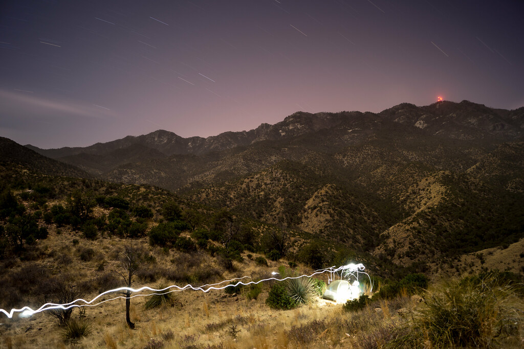
Originally I had planned to camp here but the cows have made this area a bit less attractive than I imagined – I loop via hillside and ridge up to Point 4863 to spend the night – on the way stumbling across the Knagge and Davis Spring Trail junction sign! I find a good spot near Point 4863 – I only have to move one cow patty to setup where I want – and enjoy the view of the ridge I came from (with the blazing lights of Mount Bigelow) and the day’s journey!
Camping above Edgar Canyon – the lights from Mount Bigelow in the background. March 2014.
I get moving a little slowly in the AM – lingering to enjoy the view –
View from Point 4863. March 2014.
And then up up up up back to the Upper Green Mountain Trailhead to meet my ride down! 13 miles and about 4000′ of elevation gain and loss.