Overview
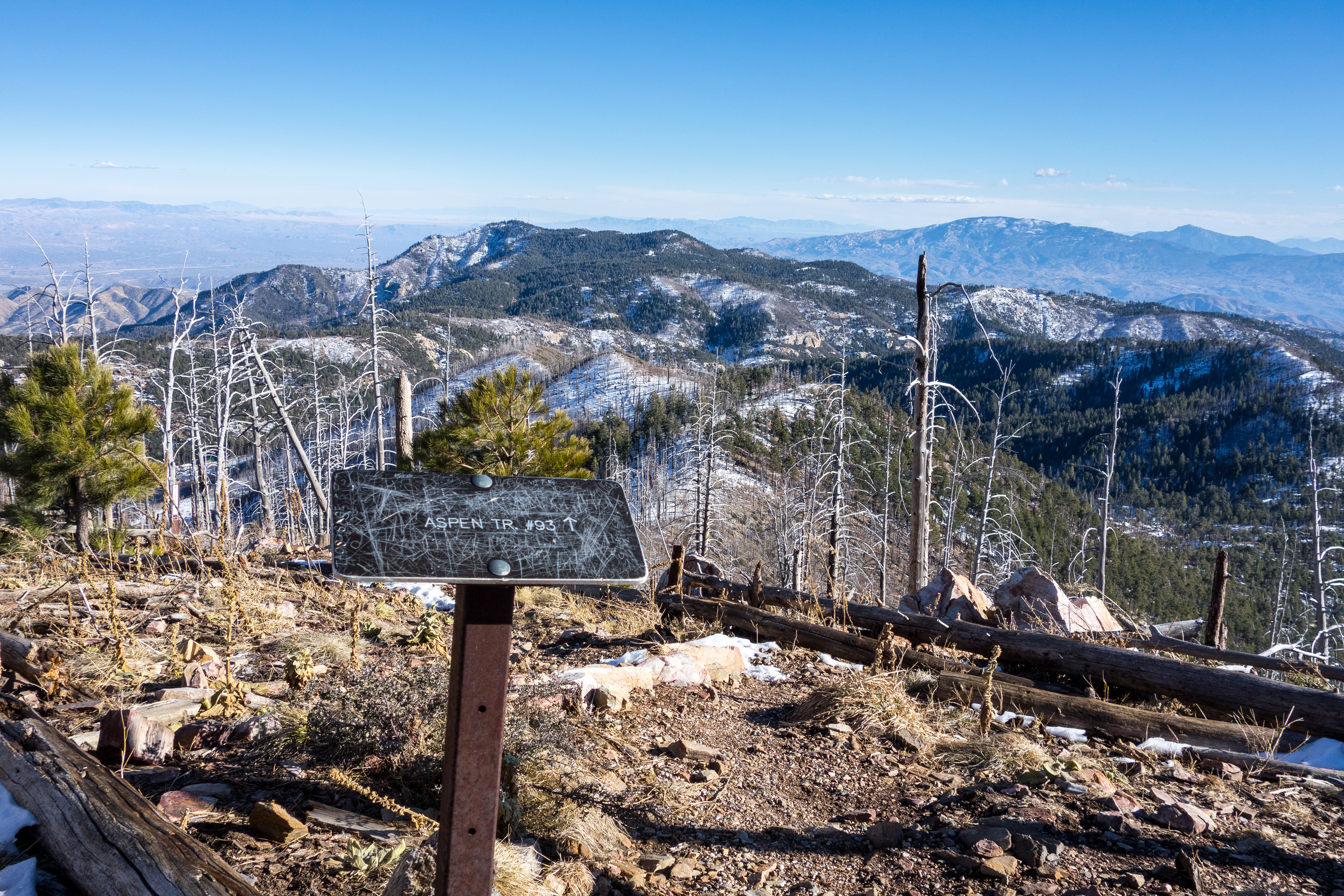
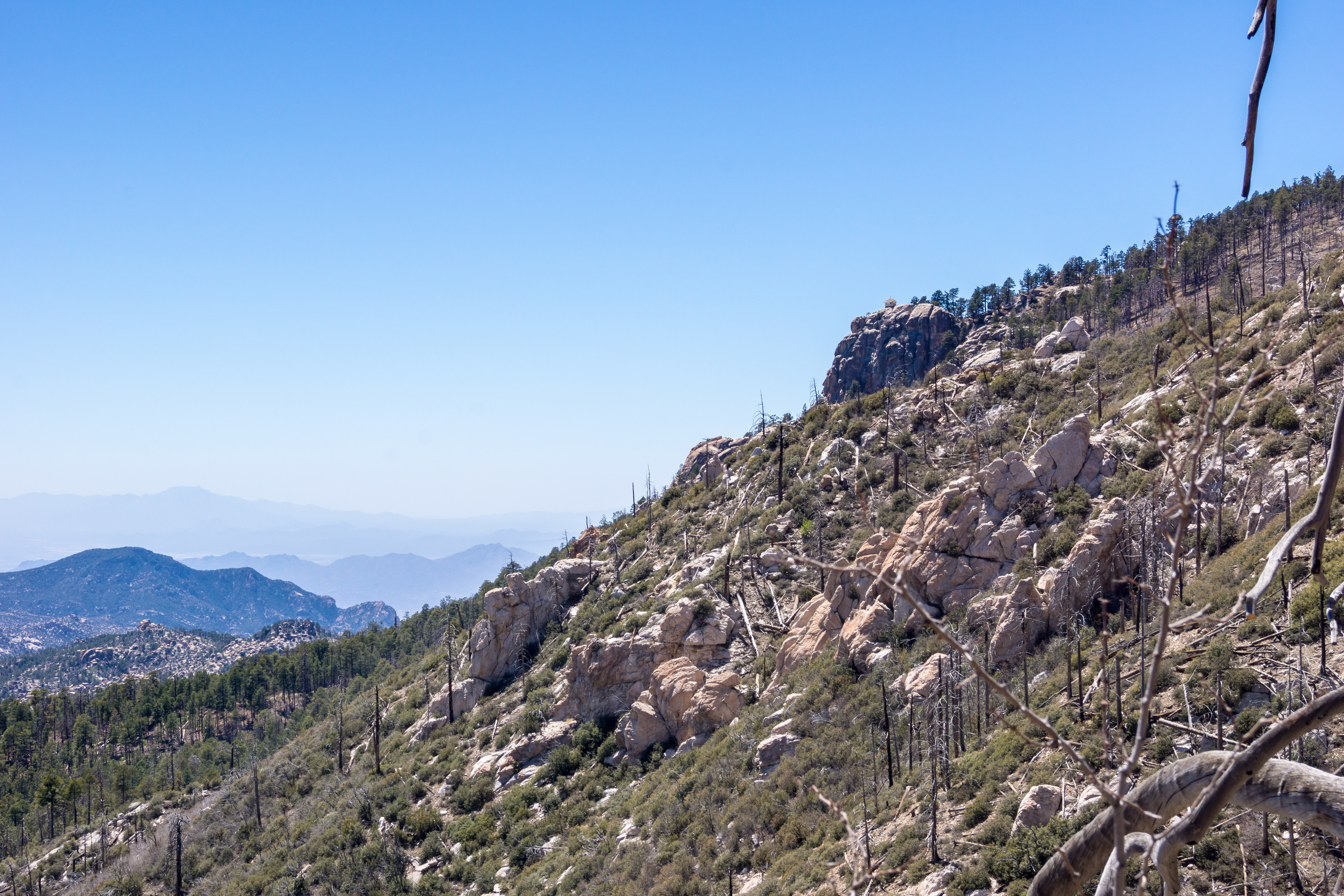
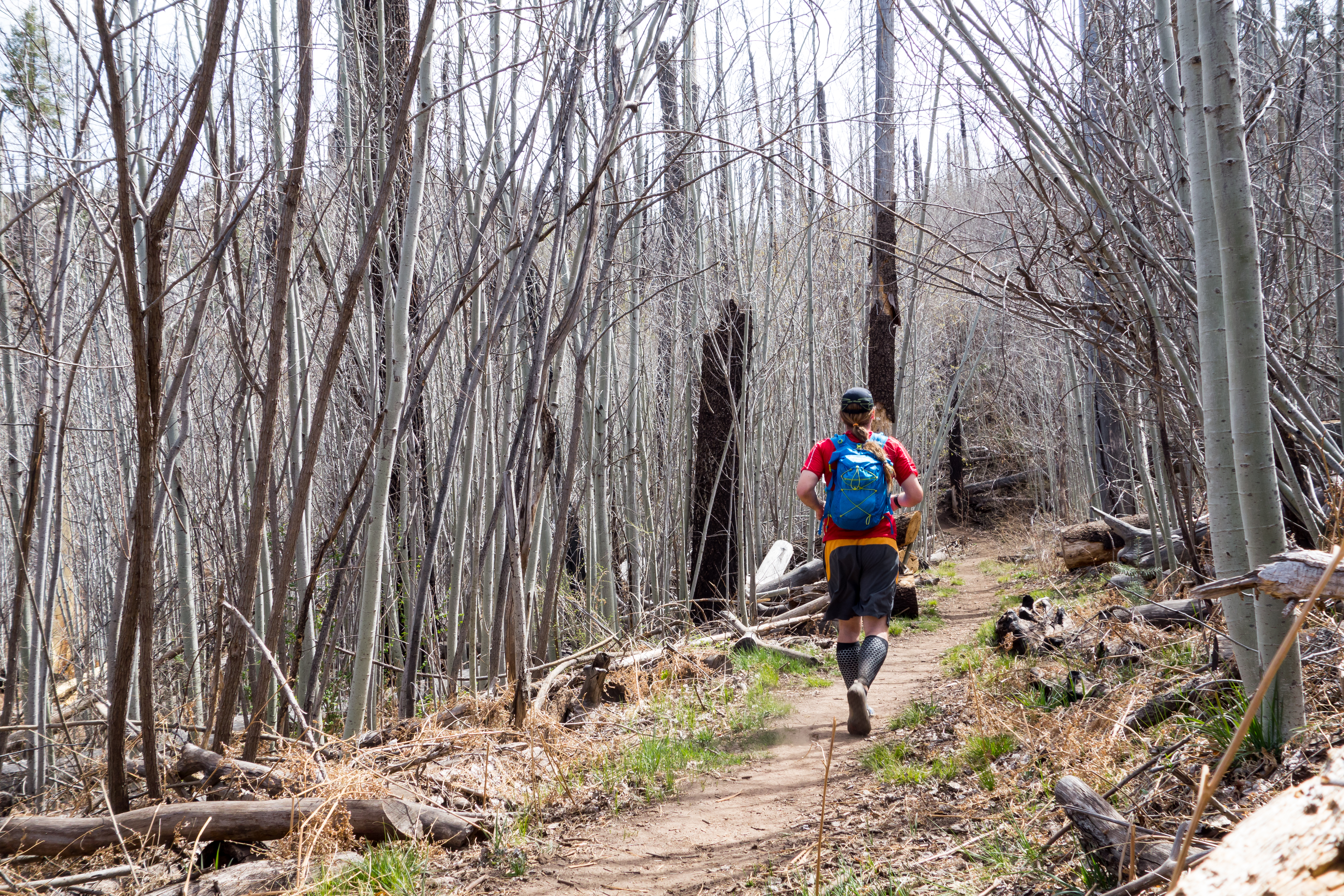
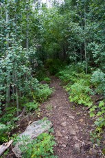
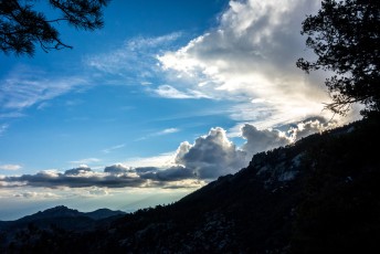
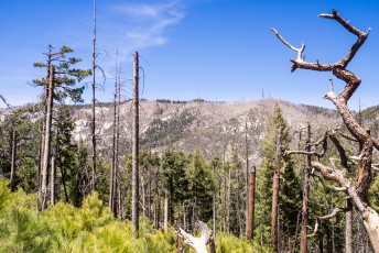
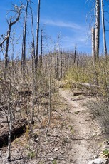
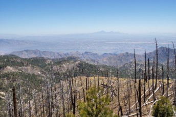
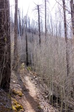
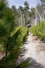
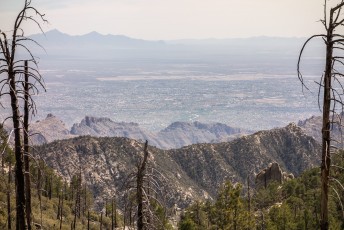
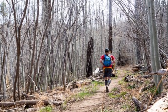
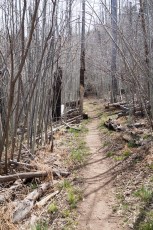
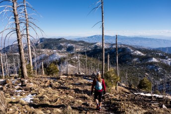
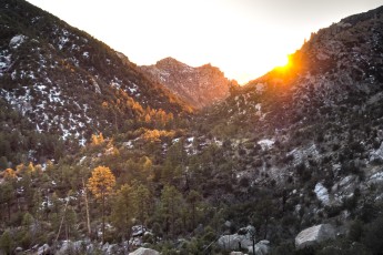
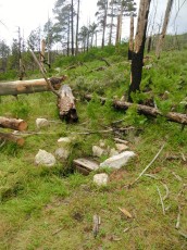
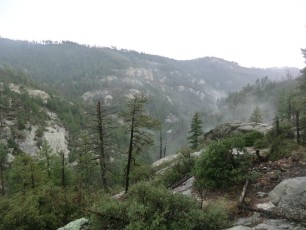
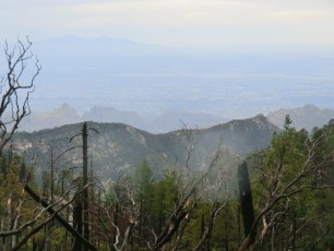
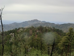
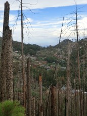
The Aspen Trail #93 is a popular trail – winding thru a forest of Aspens and Pines – grown over with ferns in the summer and covered in snow in the winter – and so many great views! My favorite section of trail is below Radio Ridge – burned over a decade ago these slopes offer huge views of the Santa Catalina Mountains and beyond – a great excuse to pause on the climb up to the ridge…
Hike Stats
- Out and Back
- 8.5 miles
- 2,400' Elevation Gain
- 2,400' Elevation Loss
- Highest Elevation: 9,100'
- Lowest Elevation: 7,400'
Location
- This hike is located in the Santa Catalina Mountains near Tucson, Arizona.
- Start/End: Marshall Gulch Trailhead (Top of the Mountain Hikes)
Details
- Fee: Yes ([LemmonFeeCostAndLink/])
- Dogs: Yes
- Bikes: No (Pusch Ridge Wilderness)
Drive
- 39.9 miles from Speedway and Campbell
- 1 Hour and 25 Minutes from Speedway and Campbell
- Vehicle Access: Paved Roads/Passenger Car (Mountain Road - be careful of weather conditions!). Last 0.5 miles is closed to motor vehicles in winter (December 15 to March 1 - dates subject to change depending on weather/conditions).
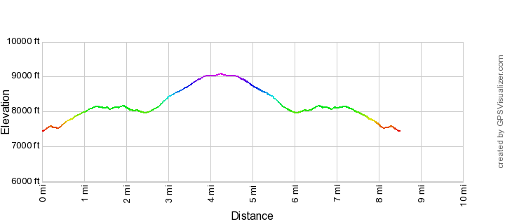
Aspen Trail Elevation Profile
Driving Directions
Suggested driving directions from the Speedway and Campbell intersection in Tucson to the Marshall Gulch Trailhead:
- Drive East on Speedway (5.0 miles)
- Left on Wilmot and continue on Tanque Verde (4.3 miles)
- Left on Catalina Highway (29.3 miles)
- Continue thru Summerhaven on Sabino Canyon Parkway - most of the year you can drive 1.2 miles to the trailhead at the end of the road. In winter (December 15 to March 1 depending on the weather) the final 0.5 miles of the drive (Marshall Gulch Road) will often be closed to vehicles, there is limited parking off the road near the gate. In winter the road is still open to foot traffic and the trailhead is open.
- Regardless of the time of year parking can be a challenge on popular holidays/weekends.
Google Maps Directions from the Speedway and Campbell intersection in Tucson to Marshall Gulch Trailhead.
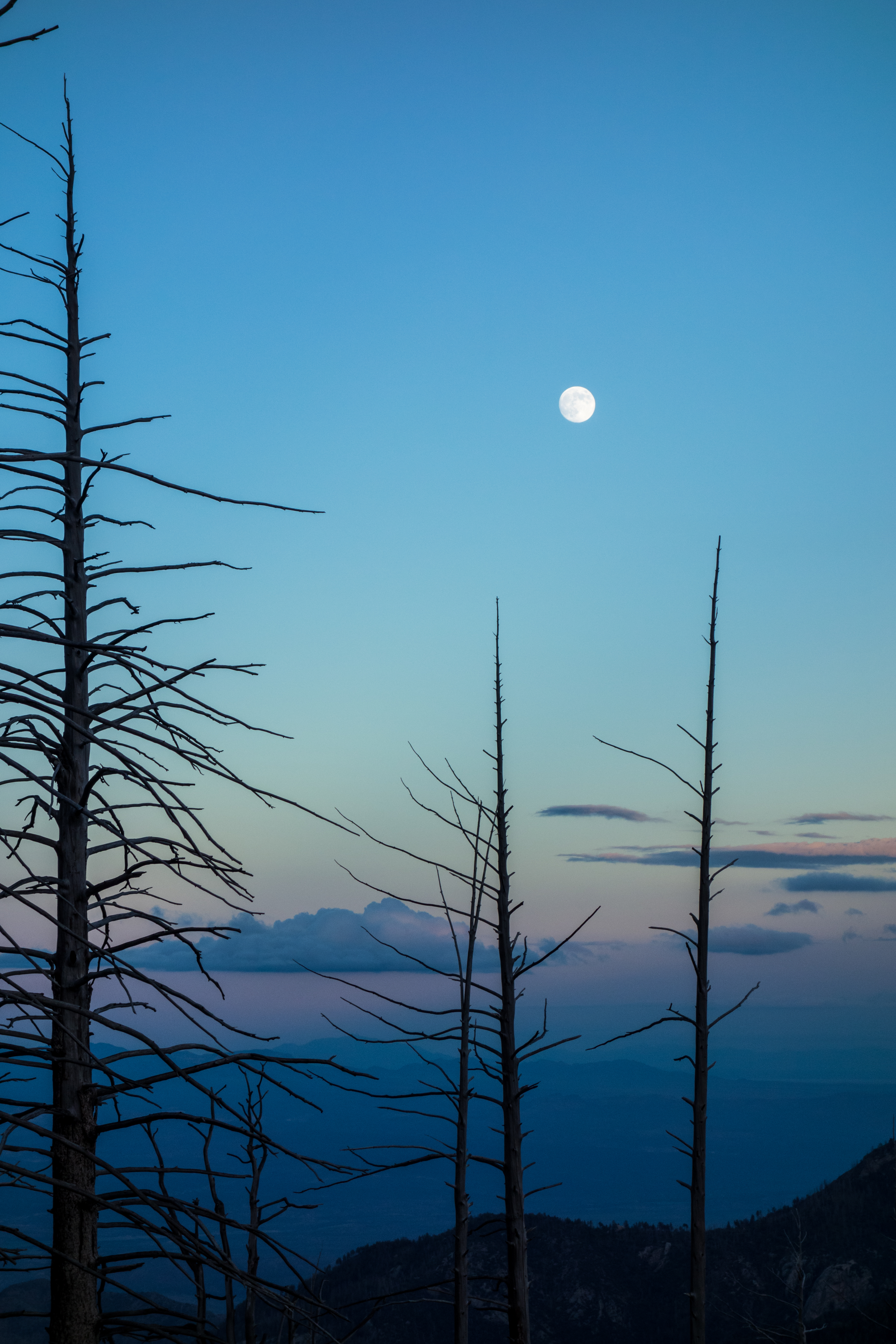
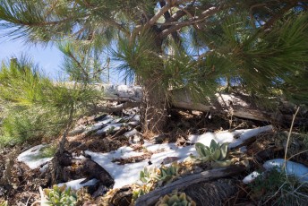
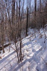
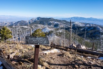
Right: Snow on the Aspen Trail - a trail sign for the junction of the Aspen, Wilderness of Rock, Mint Spring and Marshall Gulch Trails is barely visible in the trees. December 2014
Trail Notes
[CueListWarning/]
- 0.0 miles, 7500′: From the Marshall Gulch Trailhead start at the sign for the Aspen Trail (south of the restrooms). [Waypoint thmg]
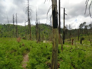
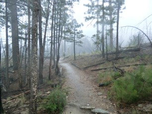
- The trail climbs and winds thru the Aspens – there are good views of upper Sabino Canyon, sections of the Pusch Ridge Wilderness and Tucson.
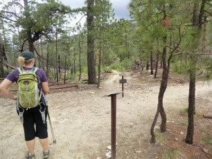
- 2.5 miles, 8000′: The trail comes to a junction with the Marshall Gulch Trail (this will take you back to the trailhead), Mint Spring Trail and Wilderness of Rock Trail – there are signs here for all of the trails. [Waypoint wr-ap-mg-ms]
- 3.3 miles, 8600′: The trail reaches a flat spot with Aspens and good views before the last climb/switchbacks up to Radio Ridge. [Waypoint ap01]
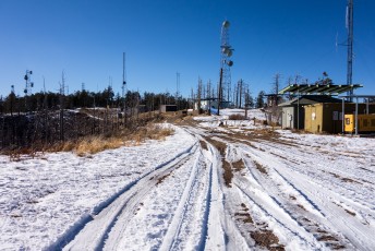
- 3.9 miles, 9000′: Near a tower a sign marks what may technically be the end of the Aspen Trail [Waypoint apend] – but this is probably not where you want to stop! Continue to the NW on a worn path past several buildings.
- 4.0 miles, 9050′: Pass the signed start of the Aspen Draw Trail [Waypoint fr18-ad] and then join and follow an obvious dirt road west past the ski lift (the Aspen Draw Trail can be used to descend back to Summerhaven).
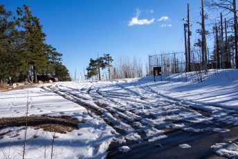
- 4.2 miles, 9050′: Pass by a gate and into the Summit Trailhead – [Waypoint ths]. The quickest way back down is to retrace yours steps back down the Aspen Trail. For longer loops continue up to the Mount Lemmon Recreation Area by taking a short signed trail that leaves from the west edge of the parking area [Waypoint sumcon-srr].
- 4.3 miles, 9100′: Arrive at the Mount Lemmon Recreation Area [Waypoint mlra]. There are a number of possible loops back to the Marshall Gulch Trailhead from here using the Mount Lemmon Trail, Lemmon Rock Trail and Wilderness of Rock Trail – or consider a stroll on the Meadow Trail before heading back down.

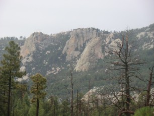
Right: Lemmon Rock and the Lemmon Rock Lookout at the end of the day with a storm moving in. September 2014

Resources
- HikeArizona.com Aspen Trail and Aspen/Marshall Loop
- Coronado National Forest
- AZDean – TucsonHikes
- Summit Hut Trail Talk – The Aspen Loop
- [GuideYellowBook]
- Posts on HikeLemmon.com:
- Forest Road 18 to Radio Ridge, Summer, Winter – MVUM – 5/15/2018, 6/24/2018, 1/14/2019
- Aspen Draw, Summerhaven, Mint Spring, Aspen Loop – 5/15/2018
- Grant Details – 10/13/2016
- Miami Fire Pictures from Summerhaven – 4/18/2014
- Aspen Draw, Aspen and Marshall Gulch Trail Loop – 12/19/2014
- Mint Spring, Wilderness of Rock, Aspen, Aspen Draw Loop – 9/7/2014
- Lemmon Rock Lookout – Storms – 2014/8/2
- Aspen Trail – 2014/4/28
- Mint Spring, Marshall Gulch, Aspen Trail – 2014/4/10
- Mint Spring and Aspen Trails – 2013/12/29

Pictures
2014 September Mint Spring, Wilderness of Rock, Aspen, Aspen Draw


2014 April Aspen Trail


2014 April Mint Spring, Marshall Gulch, Aspen Trail
2013 December Mint Spring and Aspen Trail
2012 July Mint Sprint Trail and Aspen Loop
Distraction Limited – These photos contain Aspen Trail pictures from the 1970s – a fascinating look back at this area!!
Update Notes
- 2017/8/15 – Added posts from HikeLemmon to Resources
- 2017/8/10 – Another gpx update with a hand edit of the track and elevation from Google, stats updates also
- 2017/8/8 – Updated gpx and description to better reflect the signed Summit Trailhead and Mount Lemmon Recreation Area locations
- 2017/7/28 – Srcset Images
- 2015/1/13 – Added PDF Trail Map and Description
- 2015/1/12 – Updated gpx – new waypoint names, small description adjustments
- 2014/12/21 – New snow picture, re-write description, added a number of missing links, tweaks to cue list
- 2014/9/13 – Added several new pictures, updated several captions and rearranged.
- 2014/6/27 – Waypoints switched to DEM elevation
- 2014/6/20 – Format Update
- 2014/5/8 – Initial page