Left: Mint Spring Trailhead in winter - looking towards the start of the trail. April 2014.
Right: Mint Spring Trailhead in winter - looking towards Summerhaven. April 2014.
Right: Mint Spring Trailhead in winter - looking towards Summerhaven. April 2014.
Overview
Location
- Top of the Mountain Hikes - Santa Catalina Mountains - Southern Arizona
- Google Map Coordinates: 32.44019819 -110.76600417
- At This Trailhead: Mint Spring Trail
- Nearby Trailheads and Parking: Marshall Gulch Trailhead, Summerhaven
Driving Time and Distance from Tucson
- 1 Hour and 25 Minutes from Speedway and Campbell
- 39.4 miles from Speedway and Campbell
- Miles up Highway: 25.5 miles
- Side of the Highway: N/A
- Vehicle Access: Paved Roads/Passenger Car (Mountain Road - be careful of weather conditions!)
Fees and Services
- Fee: No
- Restrooms: No
- Water: No
Additional Notes
- The Mint Spring Trailhead sometimes offers uncrowded parking on days when parking at the Marshall Gulch Trailhead or in Summerhaven is crowded and difficult. The Marshall Gulch Trailhead has picnic areas, nearby streams and restrooms - none of which the Mint Spring Trailhead offers, but the Mint Spring Trail is accessible from this trailhead and leads into the same network of trails!
- After winter storms pass the highway up the mountain is generally cleared and maintained so that travel into Summerhaven is easy for almost any vehicle - however side streets like Carter Canyon Road often do not receive the same level of maintenance and could still be snowy/icy even when the highway is clear.
The Mint Spring Trail leaves from this trailhead – to get to the start of the trail continue west (away from Summerhaven) from the parking area on a dirt road for a short distance (towards, but not onto, private property) – the trail leaves the road to the south (left, marked with a brown trail marker). There are both large and small trail signs, but both are set back from the road and can be hard to see.
Left: The trail starts at the brown trail marker on the left - if you go past the No Trespassing sign (on the right side of the picture) or get near the house you have gone too far. May 2018.
Right: The start of the Mint Spring Trail nearly one year earlier than the picture to the left. August 2017.
Right: The start of the Mint Spring Trail nearly one year earlier than the picture to the left. August 2017.

Left: Mint Spring trail map sign - summer. September 2014.
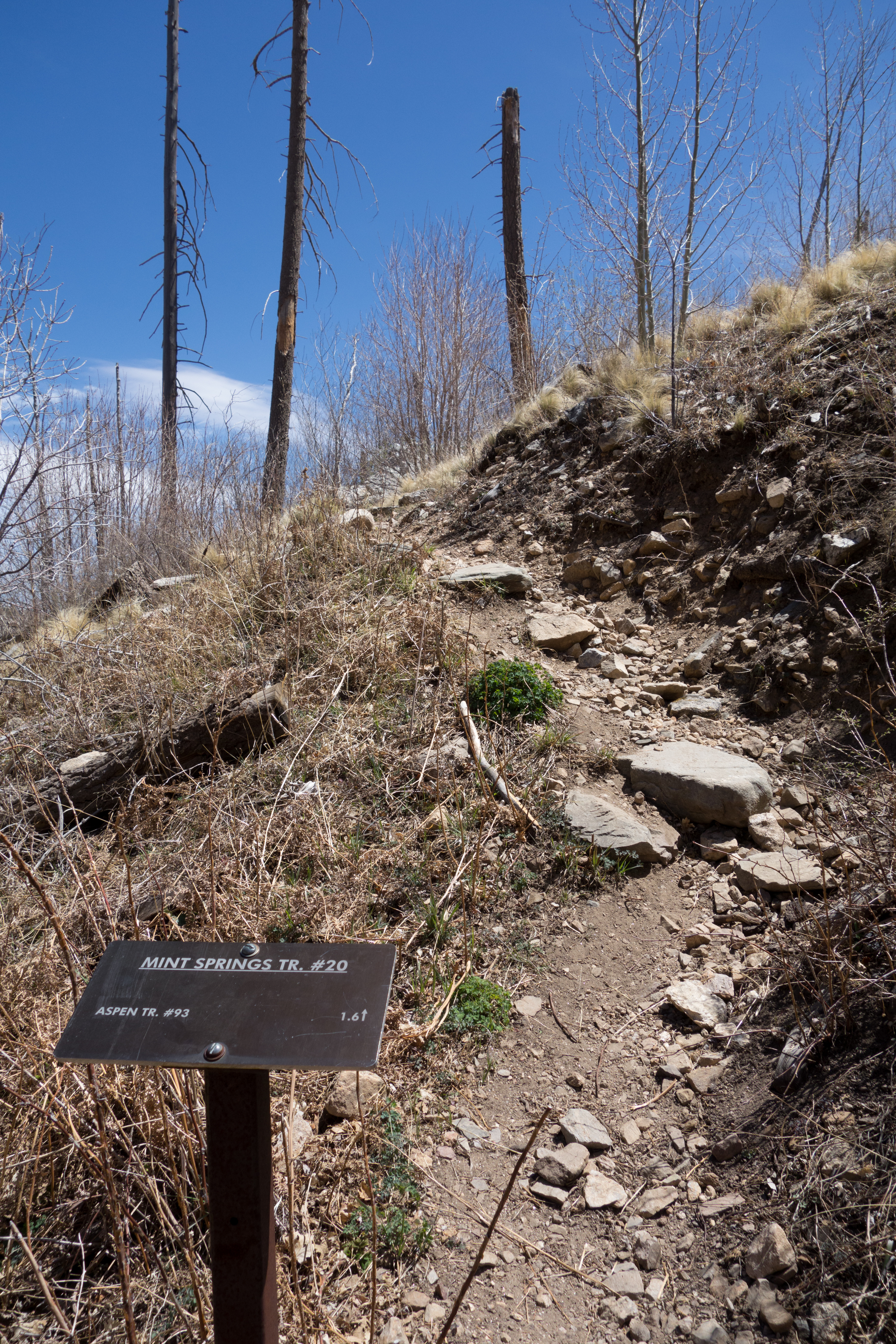
Right: Small trail sign near the start of the trail. September 2014.
Right: Small trail sign near the start of the trail. September 2014.
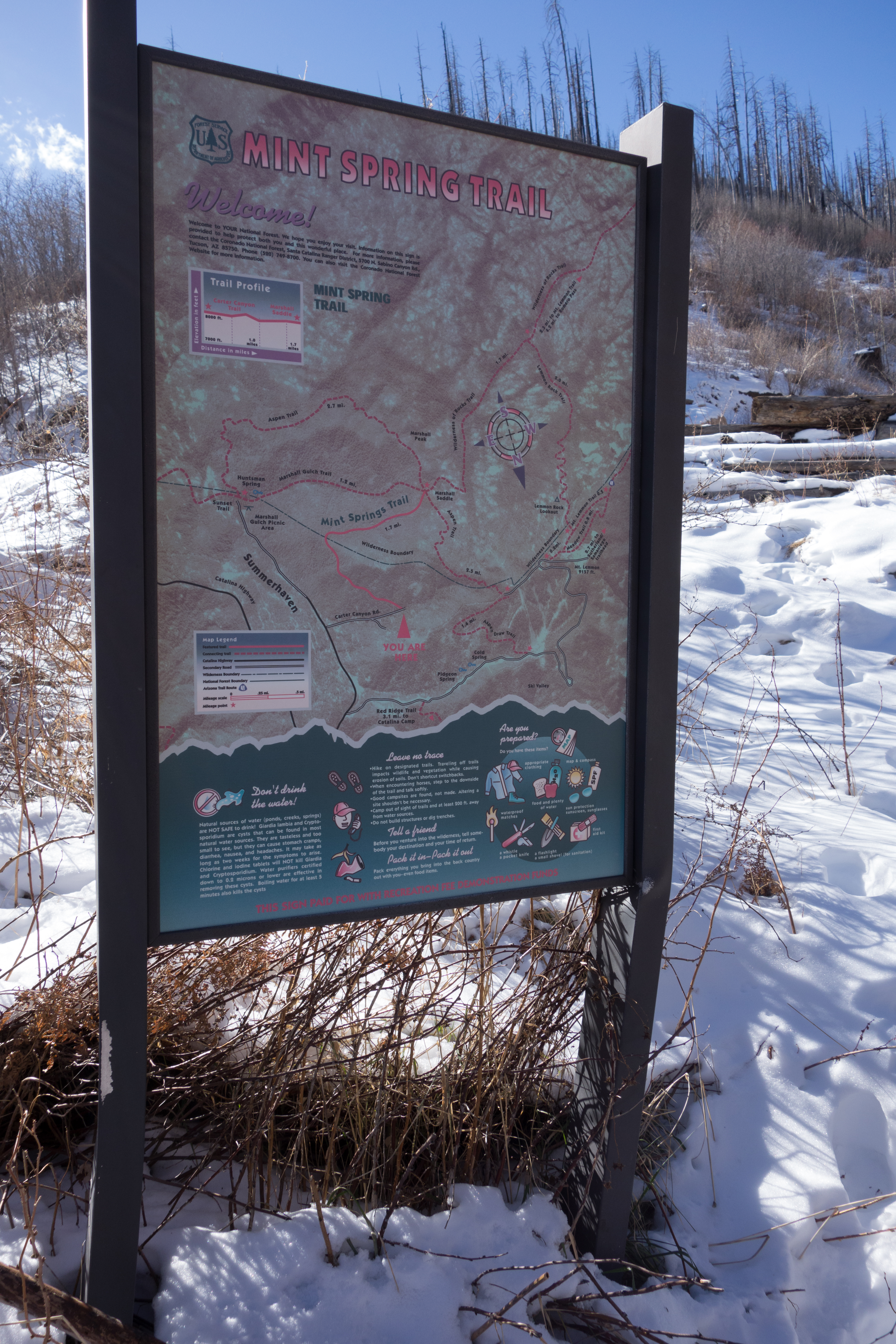
Left: Mint Spring trail map sign - winter. December 2013.
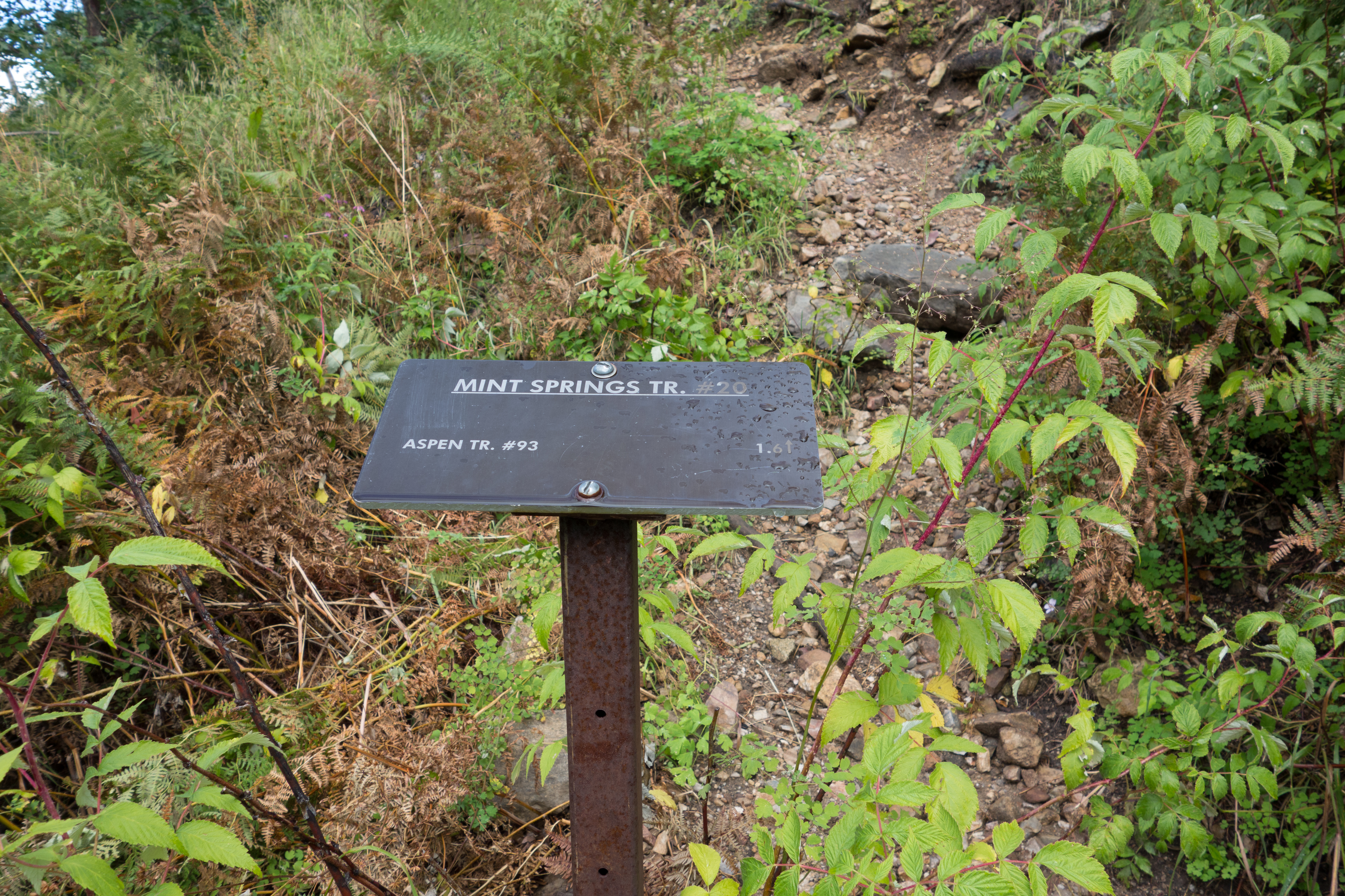
Right: Small trail sign near the start of the trail. April 2014.
Right: Small trail sign near the start of the trail. April 2014.
Driving Directions
Suggested driving directions from the Speedway and Campbell intersection in Tucson to the Mint Spring Trailhead:
- Drive East on Speedway (5.0 miles)
- Left on Wilmot and continue on Tanque Verde (4.3 miles)
- Left on Catalina Highway (29.3 miles)
- Continue into Summerhaven on Sabino Canyon Parkway (0.3 miles)
- Right on Carter Canyon Road (there is a brown sign for Mint Spring which should help you find the turn) (0.5 miles)
- The paved road ends at the parking area and the road becomes a private driveway.
Google Maps Directions from the Speedway and Campbell intersection in Tucson to Mint Spring Trailhead.
Resources
All Trailheads - Map
Update Notes
- 2019/1/29 – Added resources section, tags update
- 2018/5/27 – Add another trail start picture – largely the same as 2017 but thought it was interesting to see the slight changes since last year, slight improvements to the trail location text and photo order
- 2017/8/29 – Updated image showing the brown trail marker marking the start of the trail off the road, correct link
- 2017/8/18 – Img Srcset update, add all trailheads map