Forest Road 18 to Radio Ridge, Summer, Winter – MVUM – 5/15/2018, 6/24/2018, 1/14/2019

FR18 - switchbacks and water tanks. May 2018.
FR18 – switchbacks and water tanks. May 2018.

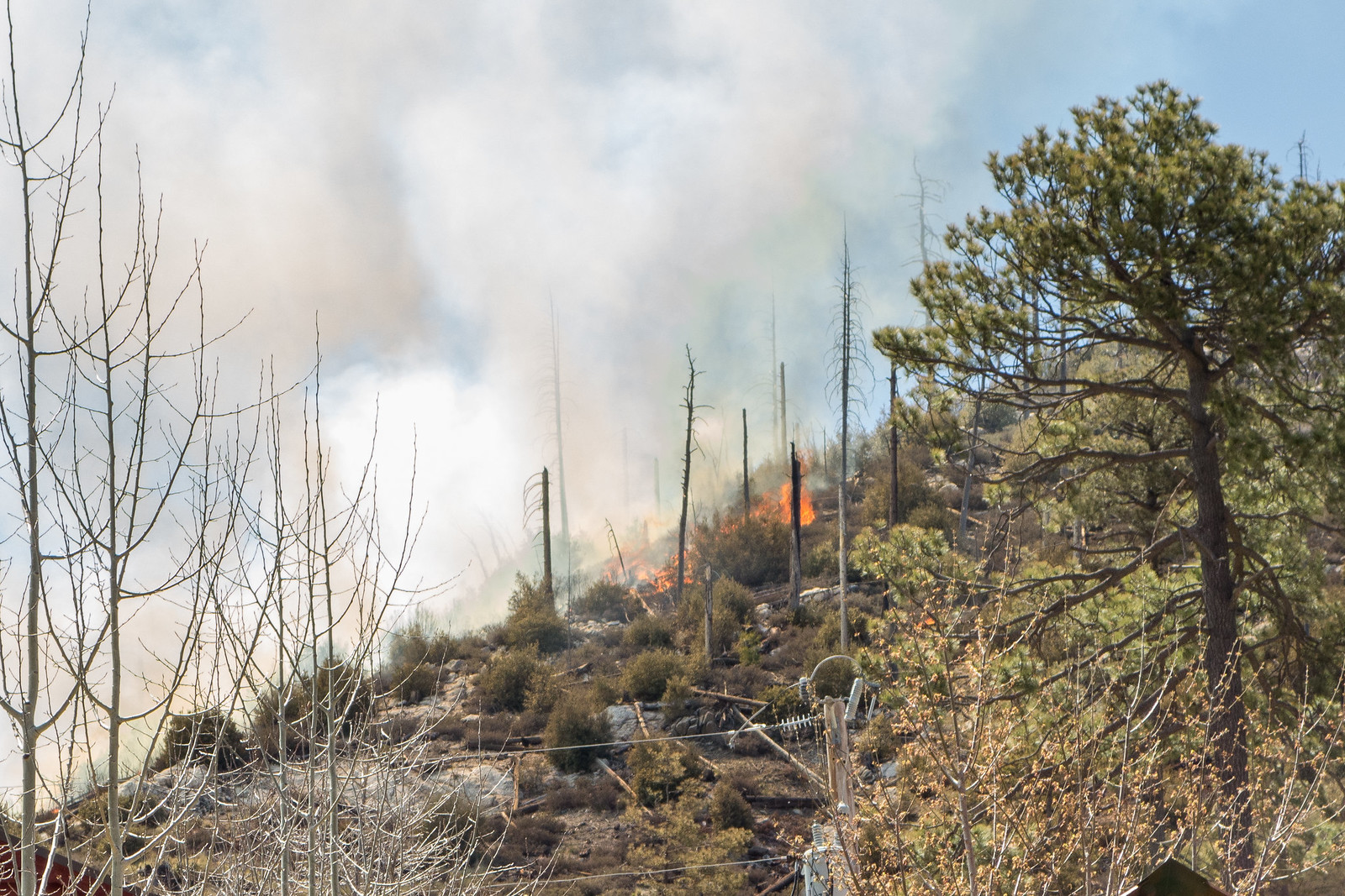
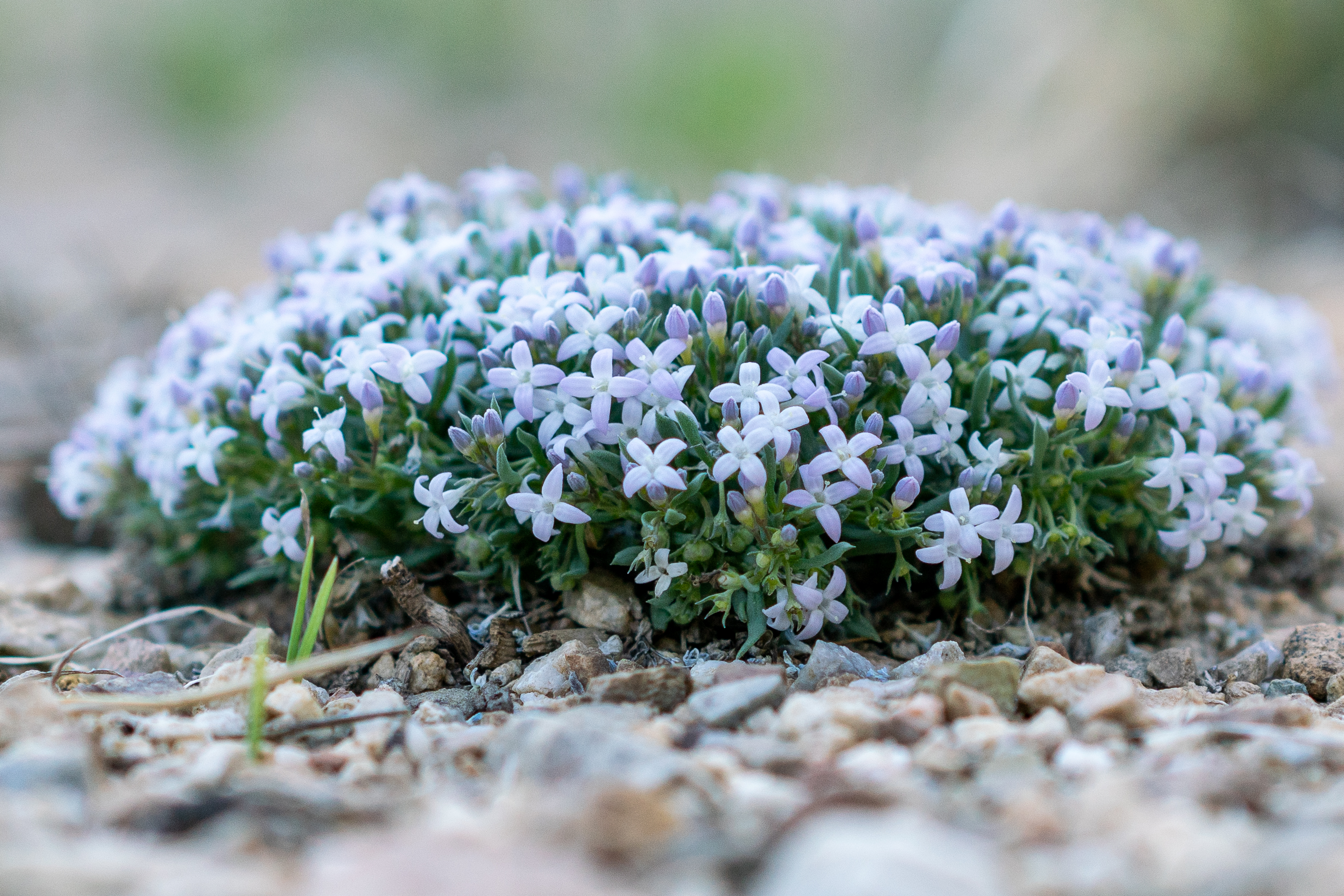
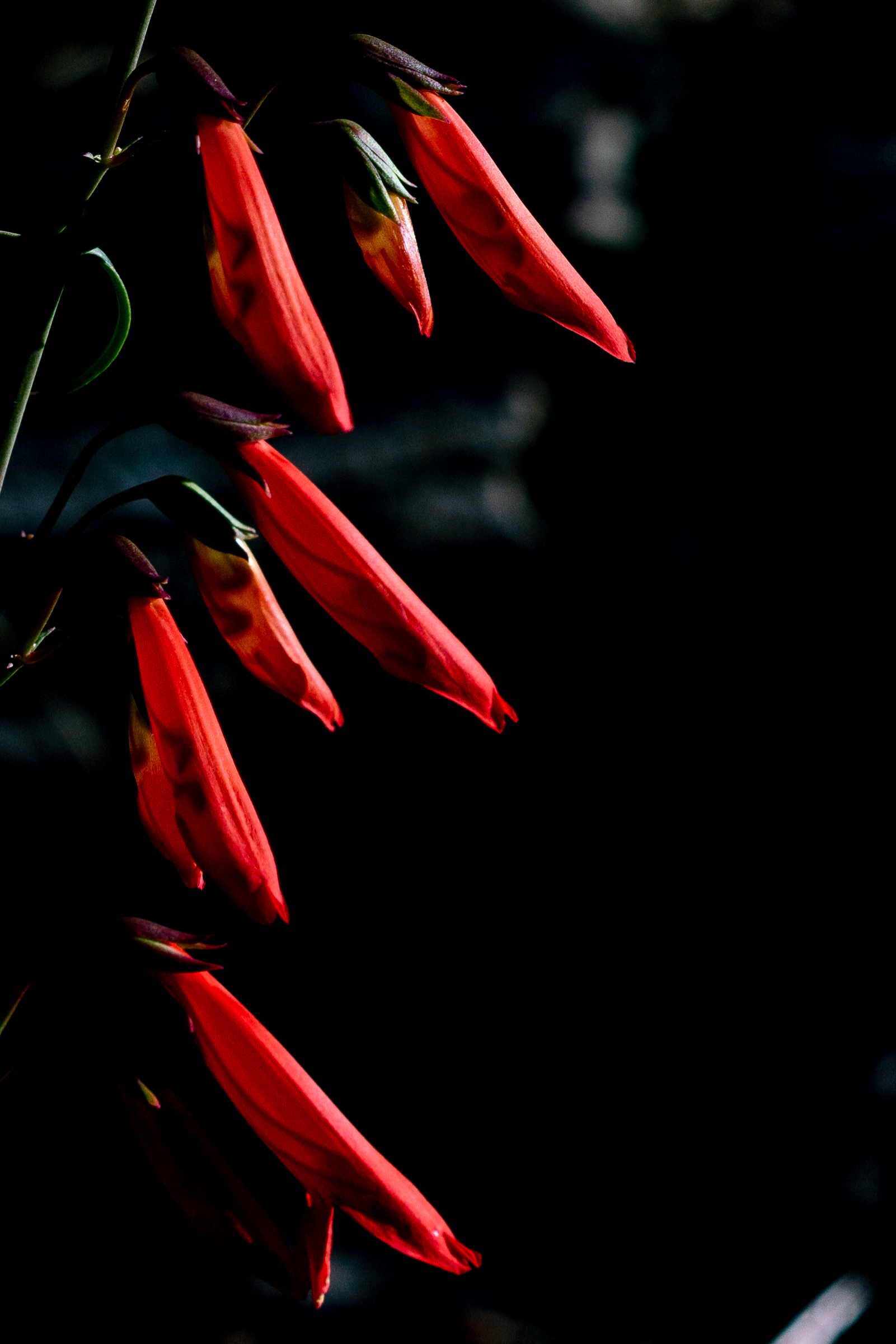
Looking across Carter Canyon from the Mint Spring Trail you can see Forest Road 18 switchbacking up the burned out hillside, past cabins and water tanks, joining and following power lines up to Radio Ridge. It doesn’t have the same appeal as getting up to Radio Ridge on the Aspen or Aspen Draw Trail but summer flowers, winter snow, interesting views… maybe just worth it…

Carter Canyon and Summerhaven from FR18. June 2018.

East of the Mint Spring Trailhead FR18 leaves Carter Canyon Road as Miners Ridge Road – apparently the road was erroneously classified in the Forest Service Infrastructure Database (INFRA) as open to public motor vehicle traffic – corrected in the recently finalized Santa Catalina Ranger District Motorized Travel System where the note for FR18 reads:

In INFRA road is listed as having ML1 and ML2 portions, however, on the ground the road is currently closed to the public, but utilized by authorized personnel. Error in INFRA that restriction to public access not listed. Redesignate in INFRA as “Restricted to Administrative and Permitted Use Only”. ML 2. Radio Ridge access for Mt. Lemmon water district and TRICO Electric. Restricted to reduce intensity of resource impacts.

I don’t recall ever seeing a gate or signage on Miners Ridge Road indicating that it was closed in any way to the public and I assume the note is mainly referencing the top section (the upper section of the road is labeled Radio Ridge Road in Pima County’s GIS Information and Cap Rock Road by Google Maps) where the road has been gated at the Summit Trailhead to prevent public motor vehicle access for as long as I can remember.

FR18 as shown on the maps in the Santa Catalina Ranger District Motorized Travel System NEPA documents. February 2019.
Pygmy Bluet on the side of FR18. June 2018.
Penstemon off FR-18. June 2018.

I’m sure that FR18 is blanketed by snow every year but in previous years it hadn’t occurred to me that the snow covered road would be an interesting hike. This year I was a little smarter – lower on the road there were vehicle tracks, but they eventually disappeared and I plunged into untracked snow up to Radio Ridge – alone for a cold sunset – before making my way down partly by headlamp.

Winter - a snow covered FR-18 with Radio Ridge in the distance. January 2019.
Winter – a snow covered FR-18 with Radio Ridge in the distance. January 2019.
Tree off of Radio Ridge with the Rincons in the background. January 2019.
Snowy Santa Catalina Mountains from near the start of the Aspen Trail off Radio Ridge. January 2019.

Aspen Draw, Summerhaven, Mint Spring, Aspen Loop – 5/15/2018

Sun and Shade on the Mint Spring Trail. May 2018.

Summer temps are making top of the mountain loops very appealing lately – one of my favorite variations: Aspen Draw (best trail on the top of the mountain for getting a taste of how the area looked before the Aspen Fire), a short trip thru Summerhaven, onto the Mint Spring Trail (admire the small stands of Aspen, take in views cleared by the Aspen Fire and enjoy a stop at the spring – the Mint Spring Trail has been in rough condition in previous years but is looking quite good right now!) and up the Aspen Trail (wander up thru the pines and admire the great views from the final climb to the top – on this trip I took note of the view over Summerhaven, along Alder Canyon and Black Hills Mine Road to the San Pedro River with the Galiuro Mountains and Mount Graham in the background!).

New Mexico Raspberry Flower. May 2018.

Aficionados of upper mountain loops will probably be well aware of the situation that using the Aspen Draw Trail as your ‘down’ trail presents -> connecting to the Mint Spring Trail or any of the trails that leave from the Marshall Gulch Trailhead will force you to pass the Sawmill Run Restaurant, Stompin Grounds Coffee and Kettle KornThe Mt. Lemmon General Store & Gift shop and the Mt Lemmon Cookie Cabin… Perilous temptation if you goal is a hardcore fitness outing – wondrous distraction on a leisurely day!

Water tank along the Aspen Draw Trail. May 2018.
Summerhaven from the Mint Spring Trail. May 2018.
Looking over Summerhaven and the San Pedro River Valley to the Galiuros with Mount Graham in the distance from near the top of the Aspen Trail. May 2018.

Meadow, Mt Lemmon, Wilderness of Rock and Mint Spring Trail – 8/21/2017

Flowers along the Meadow Trail. August 2017.

The flowers on the Meadow Trail are fading a bit, ferns on the Mt. Lemmon Trail are starting to brown and small drainages crossing the Wilderness of Rocks Trail are beginning to go dry – the summer rains are gone, but summer temperatures are still very much here – a nice time to be at the top of the mountain.

Browning ferns along the Mt. Lemmon Trail. August 2017.
Clouds and trees reflected in Lemmon Creek. August 2017.
Red galls in the Manzanita from Leafgall Aphids. August 2017.

Miami Fire Pictures from Summerhaven – 4/18/2014

It was a beautiful day high on the mountain – we drove to the Summit Trailhead to start a friendly race – Aspen Draw Trail, thru Summerhaven, Mint Spring Trail, Marshall Gulch Trail and the Aspen Trail to Marshall Saddle – I managed to win by about a minute, but not without an all out effort!

While hiking back to the car on the Aspen Trail I noticed smoke below and assumed it was just someone burning brush… But in Summerhaven (to get a cookie!) we were able to see the flames, smoke and orange tint from the Miami Fire.

1504 Hillside Flames
Flames from the Miami Fire on a hillside above Summerhaven. April 2015.
1504 The Miami Fire from Summerhaven
Smoke and flames from the Miami Fire. April 2015.

It was hard to tell how big and close the fire was – but thankfully InciWeb reports that the fire is only 5 Acres and already 20% contained (see updates below). Both Tucson News Now and the Arizona Daily Star report that no structures have burned, there are no current evacuation orders and that while precautions are being taken no structures are currently threatened. The cause is still under investigation but it is believed to be human-caused. The highway was closed at the base.

UPDATE 4/21/2015 – InciWeb now reports that the fire is 100% contained – no structures were damaged and the fire burned 5 acres.

UPDATE 4/19/2015 – Tucson News Now reports that the highway reopened Saturday night and remained open on Sunday.

From InciWeb 4/20/2015: The Miami Fire was 100% contained today at 4:30 p.m. The crew has been released. The fire has transitioned to the Arizona State Forestry Division. This will be the final update for the Miami Fire.

From InciWeb 4/19/2015: Miami Fire is 40% contained. Crews have fireline and are cooling hot spots in the interior (mopping up). Four acres on private land, .6 on Coronado National Forest.
Due to the prompt response of Coronado National Forest, Mt. Lemmon Fire Department and Rural Metro Fire Department, a positive outcome of no structures lost was possible. Close proximity of a helipad and dip site to the fire also contributed to the success.

From InciWeb 4/18/2015: The Miami fire, burning in Carter Canyon near Summerhaven is now 20 percent contained and is 4.6 acres. The fire was active in the afternoon but the fire behavior has now decreased. Firefighters expect to make good progress tonight, but the area has many snags, and heavy mop up is anticipated. There are currently five engines, two water tenders a helicopter, a twenty person handcrew, and various overhead are assigned to the fire. That is more than forty firefighters working to suppress the Miami fire with another twenty person handcrew ordered. The Mt. Lemon Highway remains closed at MP 0.

Mint Spring, Wilderness of Rock, Aspen, Aspen Draw Loop – 9/7/2014

It was raining when I parked at the Mint Spring Trailhead – not hard, but enough to make me reorganize some of my gear into Aloksaks to keep everything dry – just enough effort to keep the rain away for the rest of the evening! Highlights: Mint Spring Trail – The first part of the trail was wonderfully overgrown – in spots the trail was almost a tunnel thru all of the summer growth – the fern covered hillsides with flowers peaking thru were memorable.
1409 Geranium on the Mint Spring Trail
On the Mint Spring Trail – geranium richardsonii – Richardson’s Geranium I believe… September 2014.
Wilderness of Rock Trail – Water! Not the highest/fastest I have seen the water here – but enough that to make it exciting to see – small waterfalls, spills and pools!
1409 Rushing Water Near the Wilderness of Rock Trail
Rushing water near the Wilderness of Rock Trail. September 2014.
Aspen Trail – On the last climb to the ridge, burned years ago and now quite open, the flowers were blooming and beautiful and I had great views of the moon.
1409 Moon and Trees from the Aspen Trail
Moon and trees – near the top of the Aspen Trail. September 2014.
Aspen Draw Trail – Sections of soft trail thru the big trees, it wasn’t long after starting the trail that I had to get out my headlamp to navigate the dark tree covered trail. I finished with a run thru Summerhaven, by the time I arrived nothing was open (not unexpected on a Sunday night – but I was still hoping…), and the streets were nearly empty… 11.75 miles, 2600′ of elevation gain/loss.