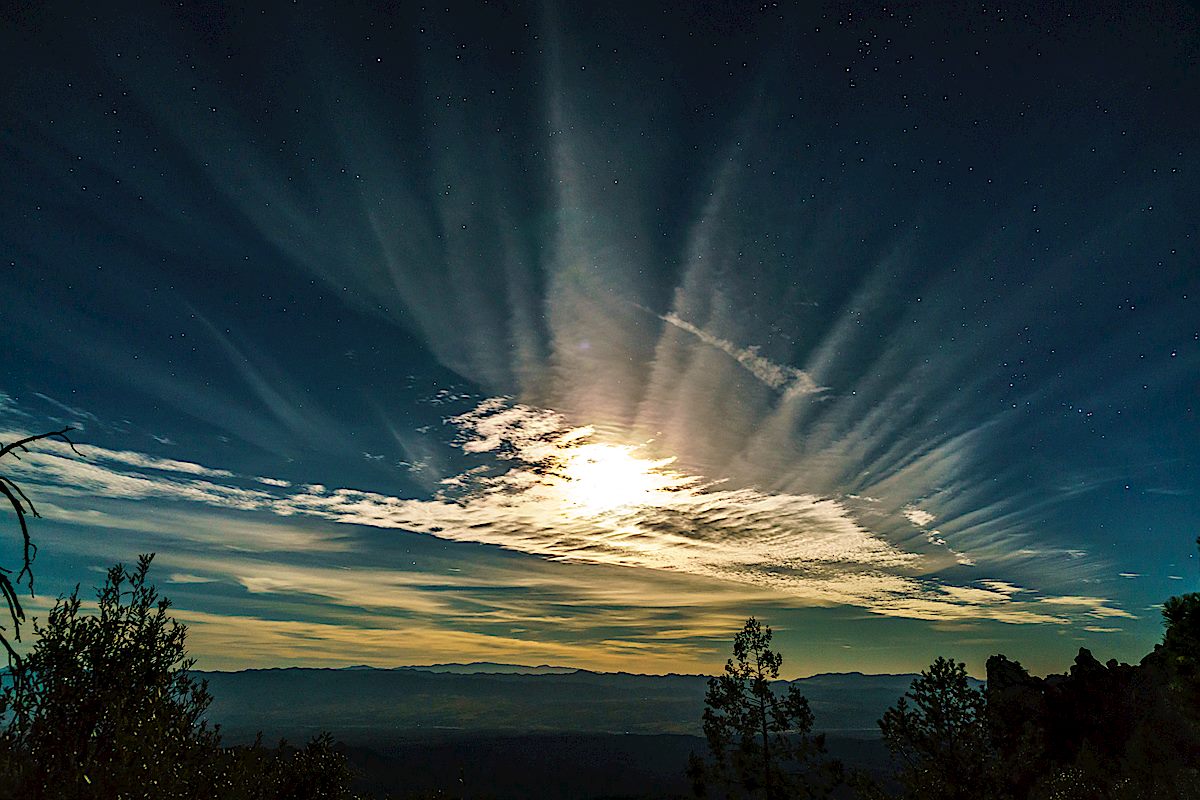
Light on the top of Buster Mountain. December 2018.
Buster Mountain – if it didn’t have a name I wonder how often this spot on the map would be visited – just one of many protrusions on the ribs running west and down from Pusch Ridge. But the question is irrelevant, this rolling hilltop is named for Buster Bailey – probably best know thru Charles Bowden’s Frog Mountain Blues – and the summit register is filled with signatures.
Leviathan Dome, Wilderness Dome and Solitude Pinnacle from Buster Mountain. December 2018.
He has become a footnote. Up on the mountain, there is a Buster Spring and above Buster Spring rolls Buster Mountain. For the old man this seems a trifle strange. He is Buster Bailey, seventy some years old, a man living in a junkyard with a household bagged at the bump. In a city of half-a-million, he is a ghost. And now they’ve gone and made him into some kind of landmark.
A new bridge over Canada del Oro on the Oracle highway swallowed the land he settled as a boy in 1927. The new Catalina State Park spreading against the north side of the range has entombed the ranches he worked and built in the thirties. Mesquite roots chew the soil of his old corrals, hackberry spreads over the spot where he once put his still, and a bulldozer has sliced off his old house lest it blemish the natural setting.
Frog Mountain Blues was published in 1987 and the details are aging – the city of half-a-million has added hundreds of thousands, nearly double depending on what you consider ‘the city’, and Catalina State Park as anything but new.
A few pages later a Jack Dykinga photograph shows bulldozers under curving utility lines, Buster Mountain in the distance on the left and Leviathan Dome rising out of Alamo Canyon on the right. Giant machines plowing thru the desert is a sort of sad ageless classic, but the 77 corridor thru Oro Valley has had so much construction and development for so long that it is hard to muster any deep emotion for a bit more or less asphalt.
Looking south along Pusch Ridge from Buster Mountain – Table Mountain, Bighorn Mountain and Pusch Peak. December 2018.
The storm has given us a gift today – clouds and light all around, rain mostly in the distance. In a few more days this area will be legally closed until May, but it will be practically closed until next winter when the summer heat recedes. It is a privilege to be on this landmark, unseen ghosts on the empty mountain side, alone above the city of just-over-a-million.
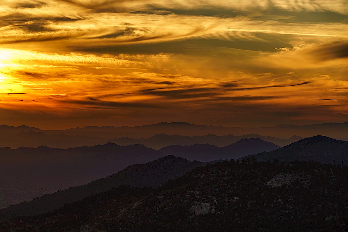
Watching the clouds and storm on the way down from Buster Mountain. December 2018.Samaniego Peak from the trail up to Buster Mountain. December 2018.
Cotton Wood Tank with Table Mountain in the background. December 2018.
A 2017 post shows Cotton Wood Tank sadly covered in graffiti (picture below) – thankfully between then and now the graffiti has been painted over (picture above). I was slightly surprised, since this hasn’t felt like a very wet year, to see that the tank is to-the-rim full at the moment, even higher than last year.
Graffiti covering Cottonwood Tank. December 2017.
Our destination for the day was the bottom of Catchment Canyon – I thought we would have time to explore up canyon but it took longer than I guessed to reach the canyon so we touched the bottom, took some pictures and, with the Bighorn Sheep Management Area closing in two days, said goodbye-until-next-year…
Looking up at Table Mountain from the shadowed bottom of Catchment Canyon. December 2018.Buster Mountain and Alamo Canyon – Sunset. December 2018.
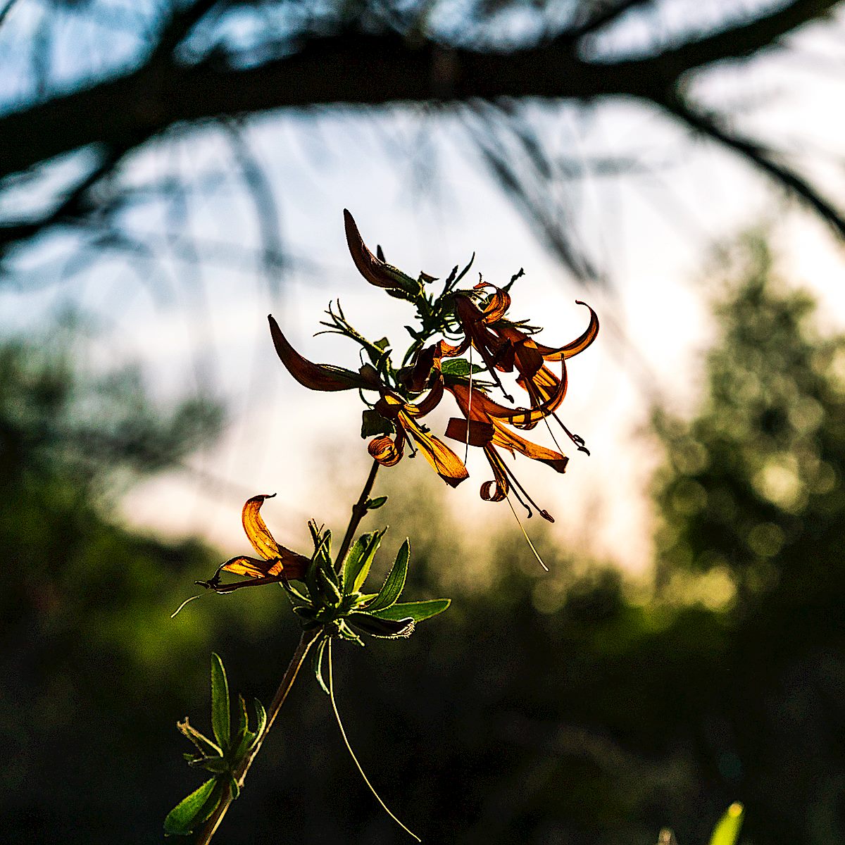
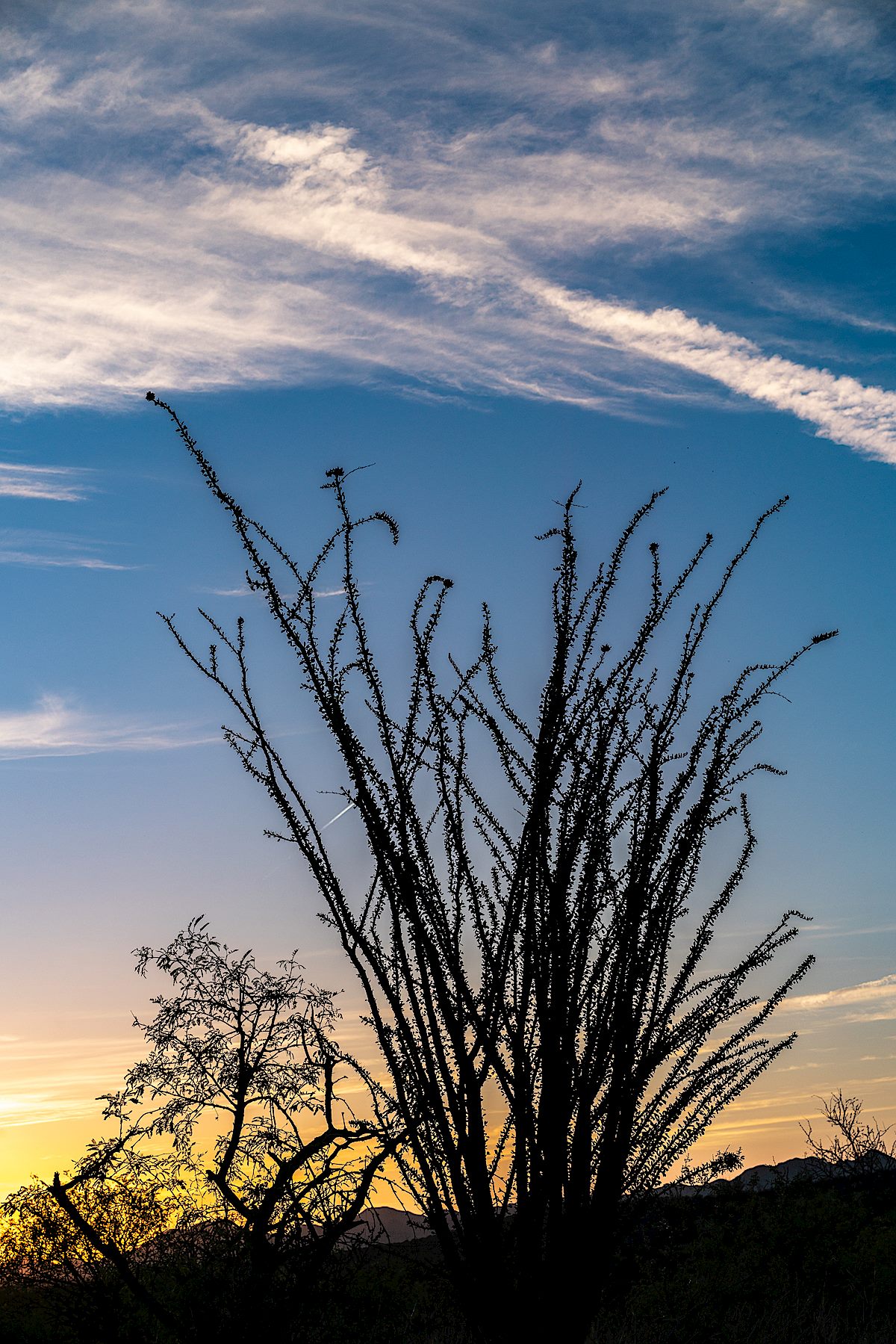
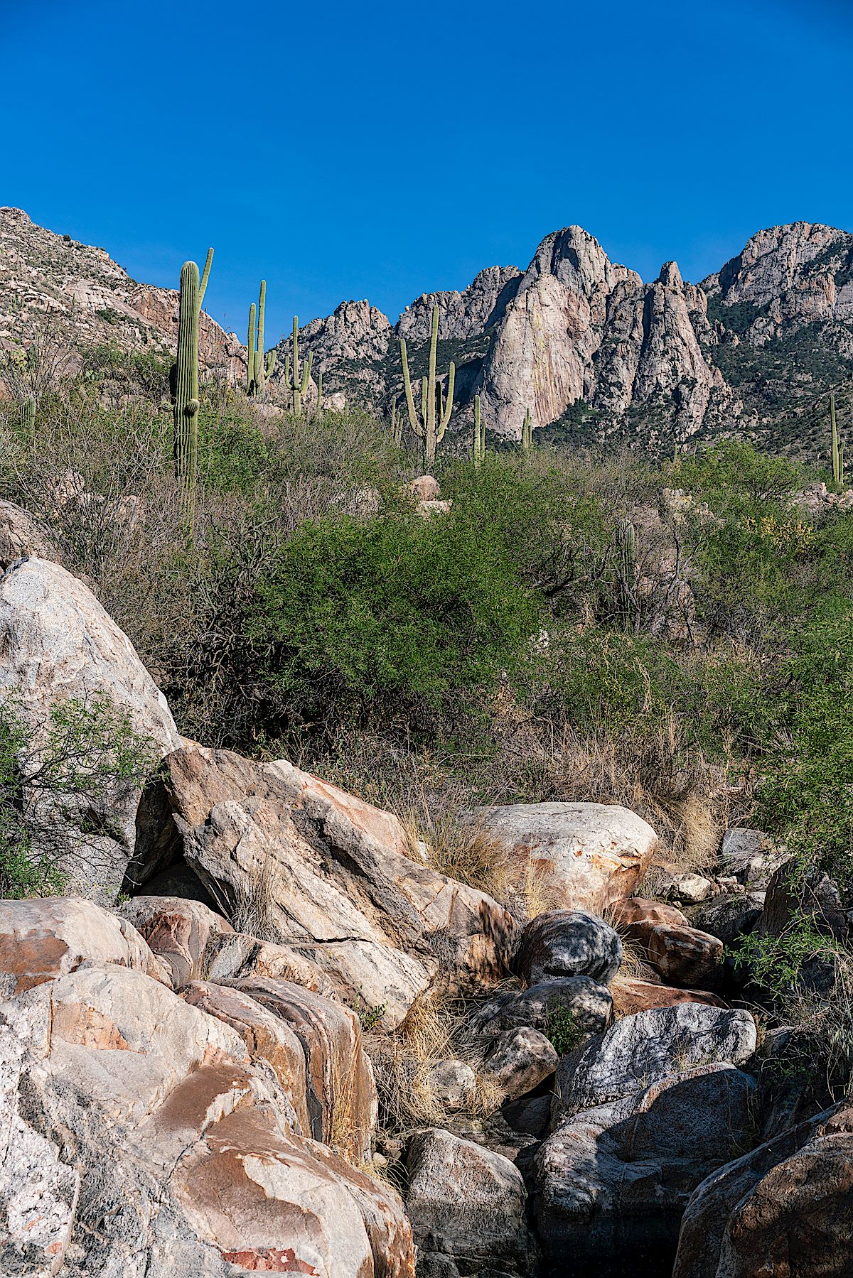
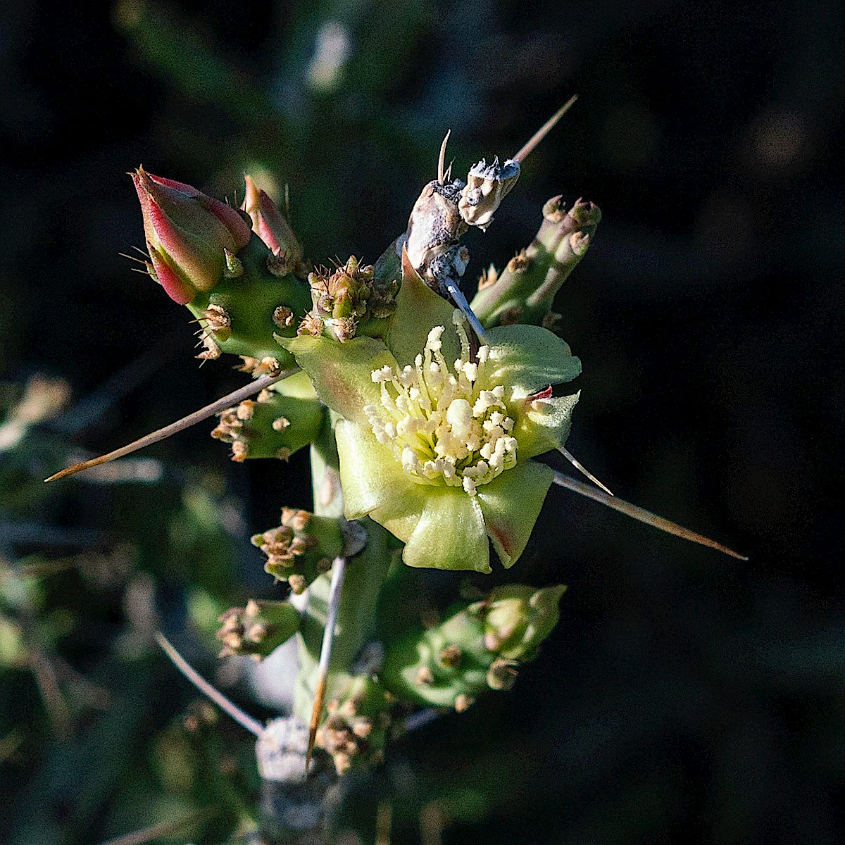
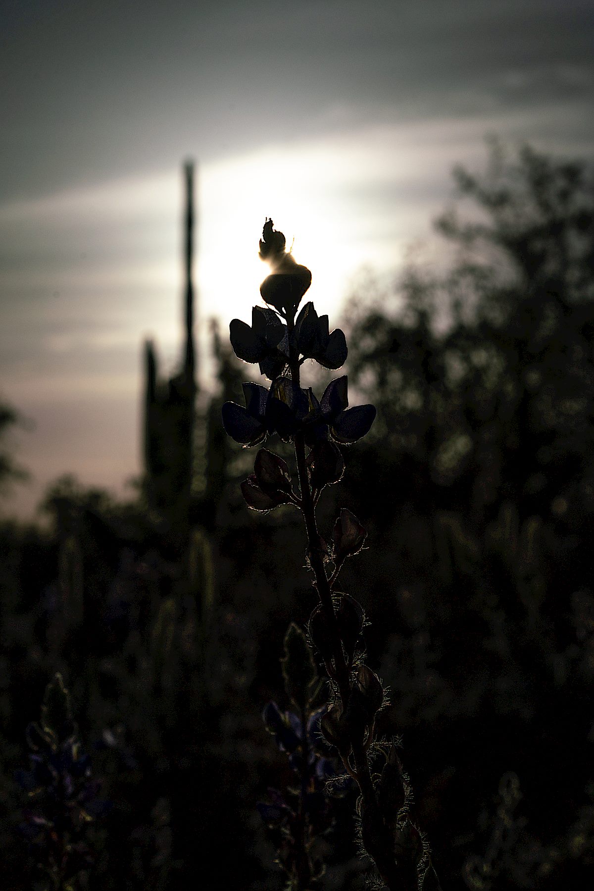
Desert Honeysuckle in Catalina State Park. April 2018.Ocotillo in Catalina State Park. April 2018.Leviathan Dome from the Alamo Canyon Loop. April 2018.Christmas Cactus. April 2018.Lupine in the sun! April 2018.
Coronado National Forest Fee Proposal – Coronado National Forest: News articles about and the press release for the Fee (Increase) Proposal were from a post here in November – the link leads to the official page for the project and is a good starting spot if you are interested in submitting a comment about the proposal (comments due by May 1, 2018). I think that the list of ‘New Fee Sites’ is worth reading thru and considering – included from the Santa Catalina Mountains are the Bigelow Trailhead, Butterfly Trailhead and Windy Point Vista Day Use Area.
Improvements at Marshall Gulch Picnic Area and Trailhead – Coronado National Forest: If this topic, or the illustration below, seem familiar it is because the first comments on this plan were taken in 2010… The long running process to redesign the Marshall Gulch Trailhead appears to be in the final stages and on 10/27/2017 the Draft Environmental Assessment was published. If this plan goes forward it will not increase the number of parking spaces available but will attempt to restore the convergence of Marshall Gulch and Sabino Creek and make the area easier to navigate on busy days. An interesting note on visitation from the EA:
On average, the site receives over 65,000 cars each summer (May through September), which includes those just driving through and others who stop to use the facilities (Forest Service, unpublished data, 2010). Assuming that there are an average of 2.5 visitors per car, estimated use is 162,500 visitors. This does not include walkin use from Summerhaven and walk-in use during the winter when the gate is closed.
Conceptual Design Document for the proposed Marshall Gulch changes – the current ‘main’ trailhead parking and bathroom are below the area shown in this illustration and are eliminated to restore the area where Marshall Gulch and Sabino Creek meet. January 2018.
The Coronado National Forest is now taking applications to operate the Sabino Canyon Shuttle System. The Sabino Canyon Shuttle Prospectus page has the relevant documents – the documents contain quite a few details about the shuttle system including limits on and requirements for the number of trips the shuttle makes, required operating hours and details about the costs/revenue involved – among the details was this statement about visitation to Sabino Canyon:
Visitation by private vehicle totals approximately 520,000 people annually; it is estimated that the Sabino Canyon Recreation Area receives more than one million visitors per year (Feasibility Study, 2010). Actual visitation to the Sabino Canyon Recreation Area is difficult to quantify, as the public may visit at any time of day and may to arrive on foot, on horseback, or by bicycle, as well as by private vehicle.
Meet the Black Friday resisters – KGUN9: This article made me laugh a little – I assumed it would be about a serious protest but instead was about people getting outside and avoiding the Black Friday deal-shopping crowds! Of course, I highly recommend joining the movement…
Popular Sabino Creek is bone-dry after months with no rain – Arizona Daily Star: Sabino Canyon is on a dry streak as we head into 2018, no surprise given the weather… The USGS makes data from Sabino Canyon available online and there is discharge data available back to late 1987. The graph below show data from 1988 to the end of 2017, this presentation is far from perfect – high spikes are cut off, some very low numbers are essentially hidden and this is just the raw data with no filtering for data quality – but it is still interesting to quickly scan thru:
Endangered Gila Topminnow Returns to Santa Cruz – Arizona Public Media: One explanation offered for the prescence of the Topminnow in the Santa Cruz is that “they may have reached the Santa Cruz from Sabino Canyon via the Rillito River”.
Suntran Sabino Canyon Sun Shuttle – Sun Tran: For the brief period of 12/26 to 1/1 there was shuttle service from Udall Park to Sabino Canyon – even with overflow parking available it can occasionally still be a challenge to find parking in Sabino Canyon and this service is a nice detail.
Contador and Polartec-Kometa tackle Mt. Lemmon – Cyclingnews.com: A short article about the Polartec-Kometa Continental team and Alberto Contador riding up the Santa Catalina Mountains.
Weather! Even by Tucson standards this winter has been quite warm – we did get one winter storm that generated snow on the mountain…
Rescues/Accidents/Incidents including information from SARCI’sSARNews:
12/11/2017 La Milagrosa Trail: Not a rescue but an interesting report because it was a false alert due to an accidental emergency beacon activation – no details were given about how the beacon might have been activated.
12/18/2017 Romero Canyon Trail: Two hikers were unable to find the trail after entering Romero Canyon – they found the trail before help arrived.
12/23/2017 Seven Falls Area: An ankle injury leads to a carry and ‘reindeer’ ride out.
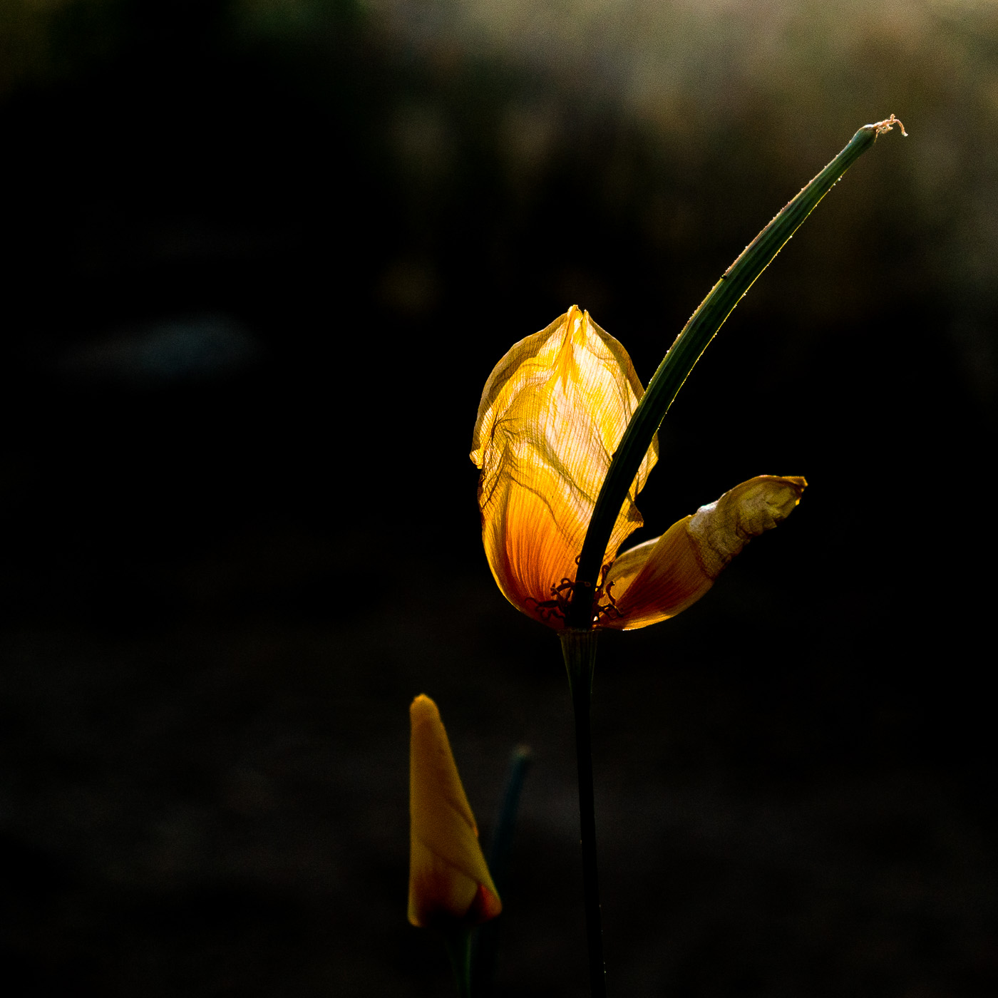
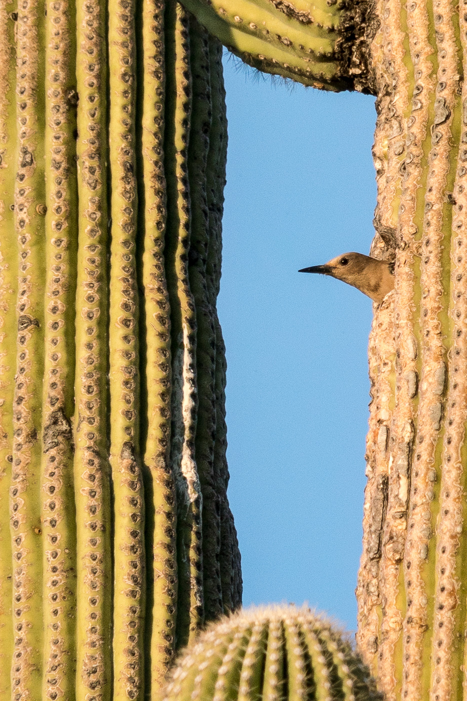
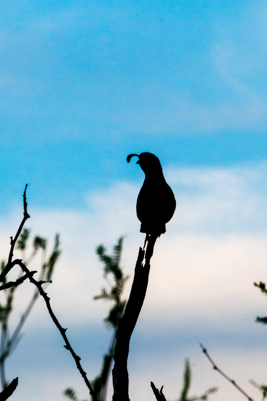
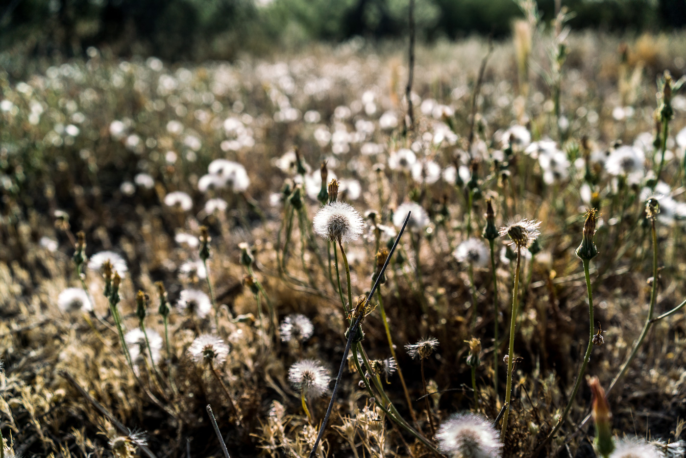
End of the season for this poppy in Catalina State Park. April 2017.Leaving the nest – the sounds of hungry young birds was a constant while we sat and watched the parent come and go. April 2017.A Gambel’s Quail perched and calling near the trail. April 2017.A field of puff balls in the sun. April 2017.