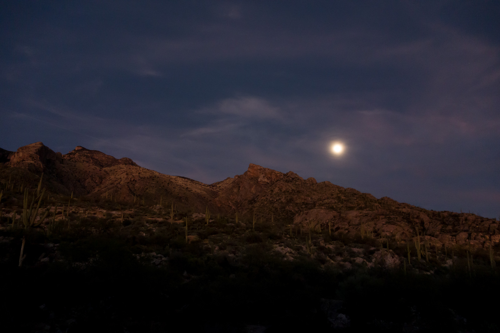
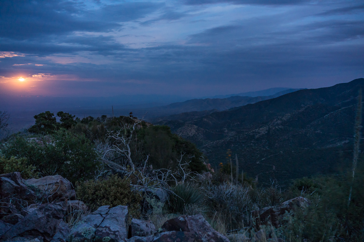
Brinkley Point, perched in the middle of the Santa Catalina Mountains, is protected by an off trail approach and a modest distance and elevation profile that don’t really lend themselves to bragging. A beautiful sunset, a wait in the fading light, and then the real show begins – moonlight on the inner basins, ridges and canyons. Alone on the small point I take pictures, briefly watch headlamps on the East Fork Trail and let my mind wander. Early in the AM I wake up to take a few more pictures and find the sky covered by clouds reflecting the city lights.
moon
Magnificent Beast – 6/20/2018

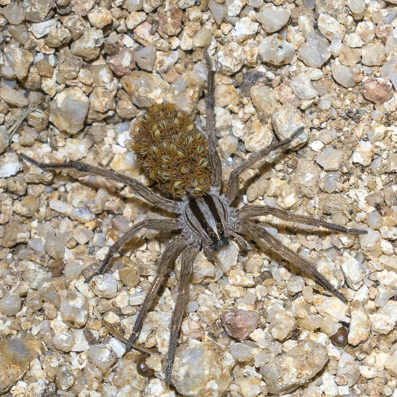
I kneel on the hot pavement in front of the magnificent beast, any Sabino Canyon walker could see I am taking photos, but would they guess that I am also paying deep respects to this small master? Hardest of the hard core it spends the cool winter days dreaming underground, only interested in the black hot summer nights, gambling on the southwest’s fickle supply of water for life. I wonder how many summers this one has seen – some sources that say they live 4-5 years in the wild, others guess 10-20 years – could this toad have been here for the massive 2006 floods in Sabino Canyon? Maybe it was stalking beetles by moonlight before every walker had a cell phone camera to flash at it. Silence and an intense stare are all it shares tonight – not impressed by my winters in the desert I guess…
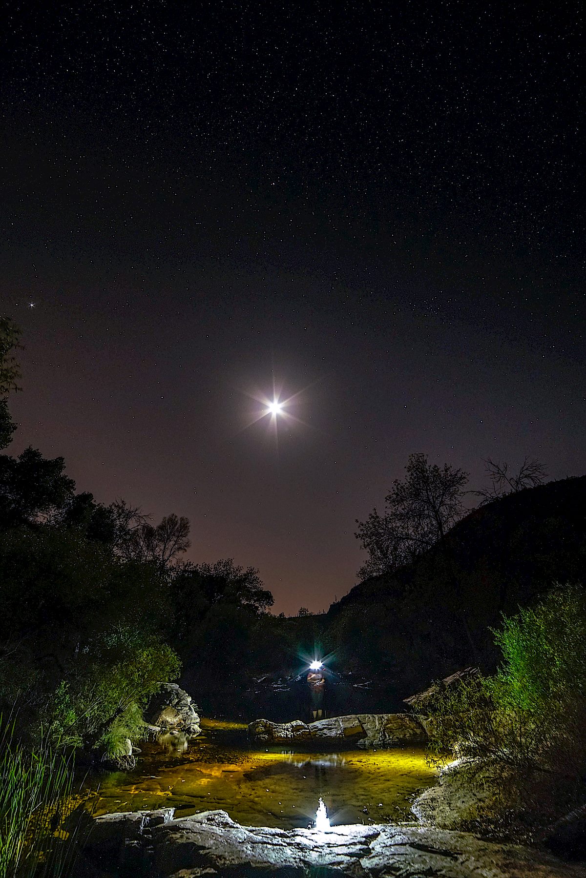
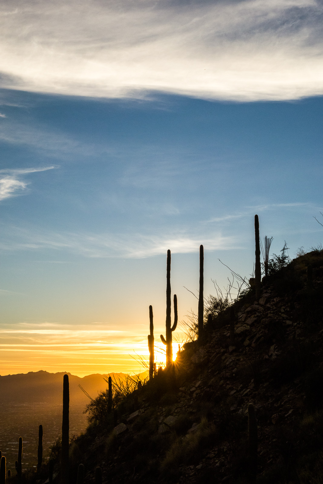
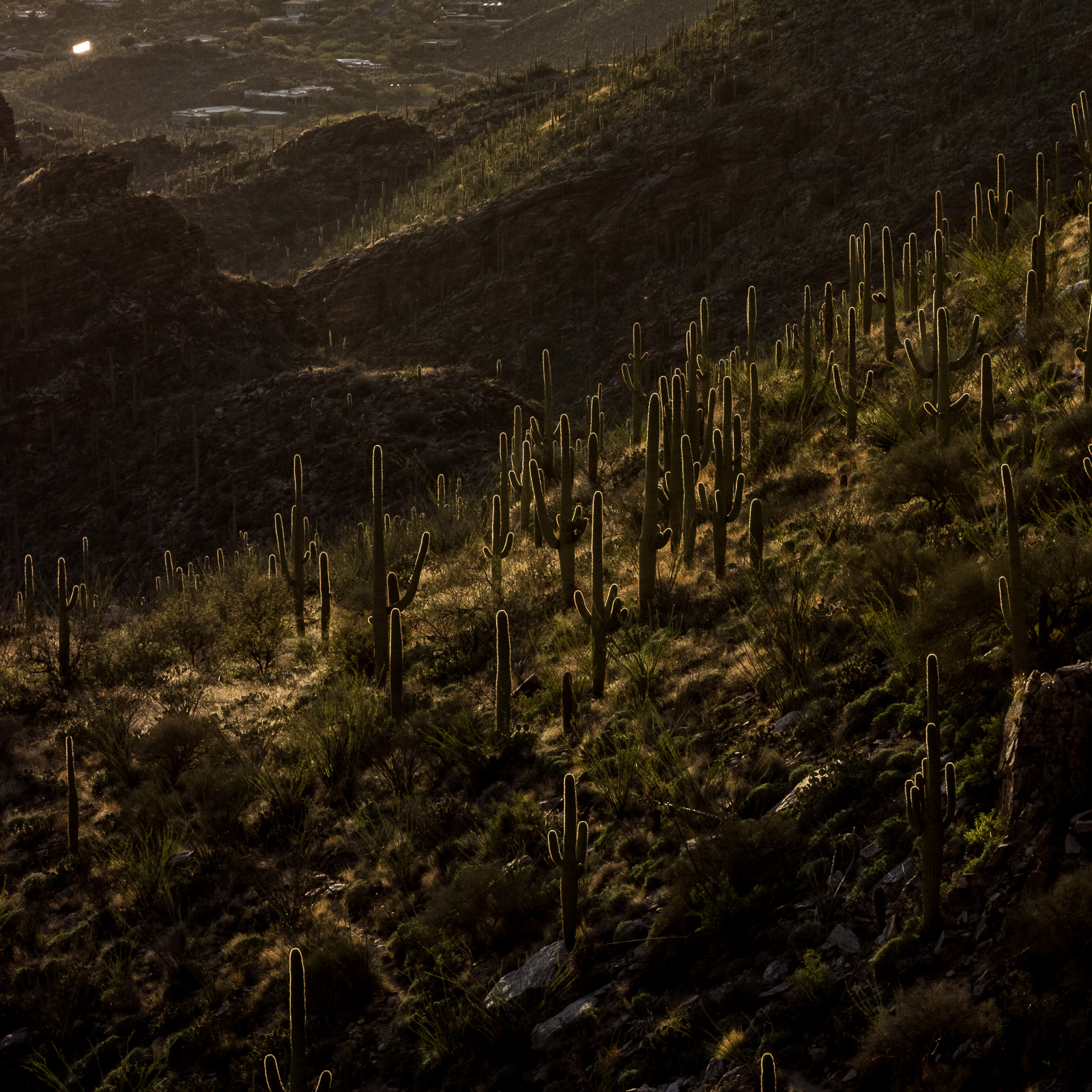
Apache Peak – 7/9/2017
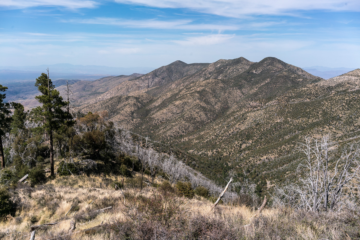
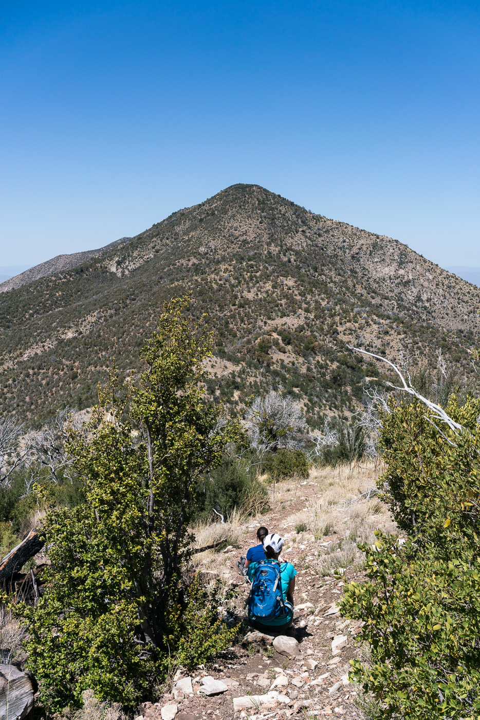
From the Lower Oracle Ridge Trailhead it is about 4 miles to get to the top of Apache Peak located on the north end of the Santa Catalina Mountains. Most of the miles are on the Oracle Ridge Trail which traverses below the peak, but there is no established trail for the final steep climb, and in my experience while you can pick better/worse ways to the top there probably is not a ‘great’ way up (the climb is not overly long but expect the standard rocky/loose/brushy off-trail Santa Catalina hillside…).
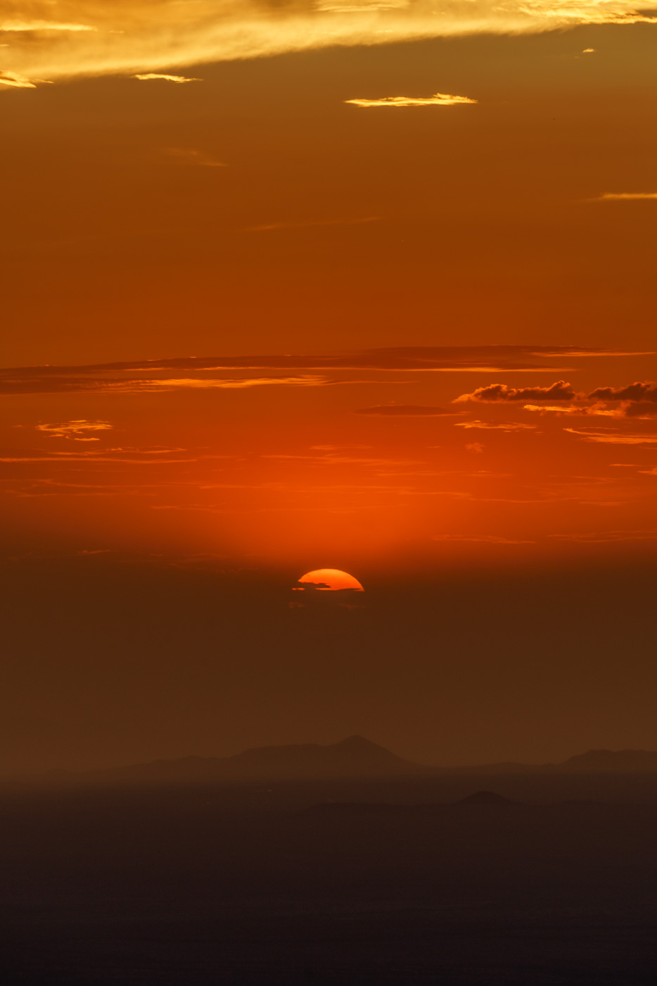
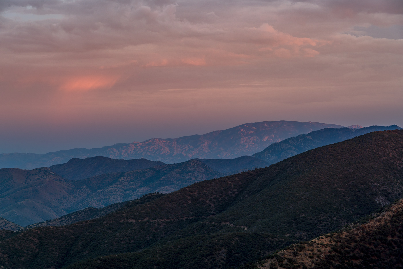
I arrive at the top just in time for the last light on the ridges to the south, the sun dipping below the clouds on the horizon, city lights coming on thru Charouleau Gap and the moon peaking thru the clouds as it rises over the San Pedro Valley – but tonight it is what I don’t see that is the surprise: no glow from the Burro Fire (currently at just over 27,000 acres), no spots of flame visible on the distant ridges and no obvious/large columns of smoke! The Burro Fire is burning to the south – Apache Peak certainly doesn’t have a view directly into the active part of the fire, but I suspect that the fire would have been clearly visible from here several days ago…
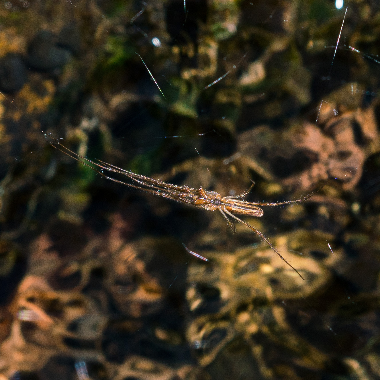
Clouds covering the moon make the hike back down surprisingly dark – spider eyes glint in the headlamp beam and when I finally slow down to look more closely it turns out to be many more spiders than I thought…
Red Ridge, Catalina Camp, Oracle Ridge Trail Loop – 4/16/2017 and 4/19/2017
The Red Ridge Trail, Catalina Camp and Oracle Ridge Trail loop is one of my favorite hikes – and one of my favorites to recommend. I was lucky this month to be able to do the loop twice – once in each direction – and lucky to do it with many different friends who, I think, enjoyed seeing this area of the mountains.
1924, June 29, p. 13 – from the Arizona Daily Star:
The forest service is at present working on the construction of two very interesting trails … Red Ridge trail begins near the main ridge of the Catalinas that the highway crosses, and goes, as the name implies, over the ridges toward Oracle.
I wonder what the trail would have been like then – the stunning views of the Reef of Rock would be the same and with fewer visitors to the mountain in those days the trail was probably, like today, not heavily used. In the 1920s the top of the trail must have been covered in trees and it may have been impressively quiet – today the top of the ridge is largely open, cleared by the 2003 Aspen Fire, and noise from the General Hitchcock Highway is notable (the General Hitchcock Highway, not yet built in the 1920s, is larger, busier and faster than the ‘highway’ referred to in the quote above).
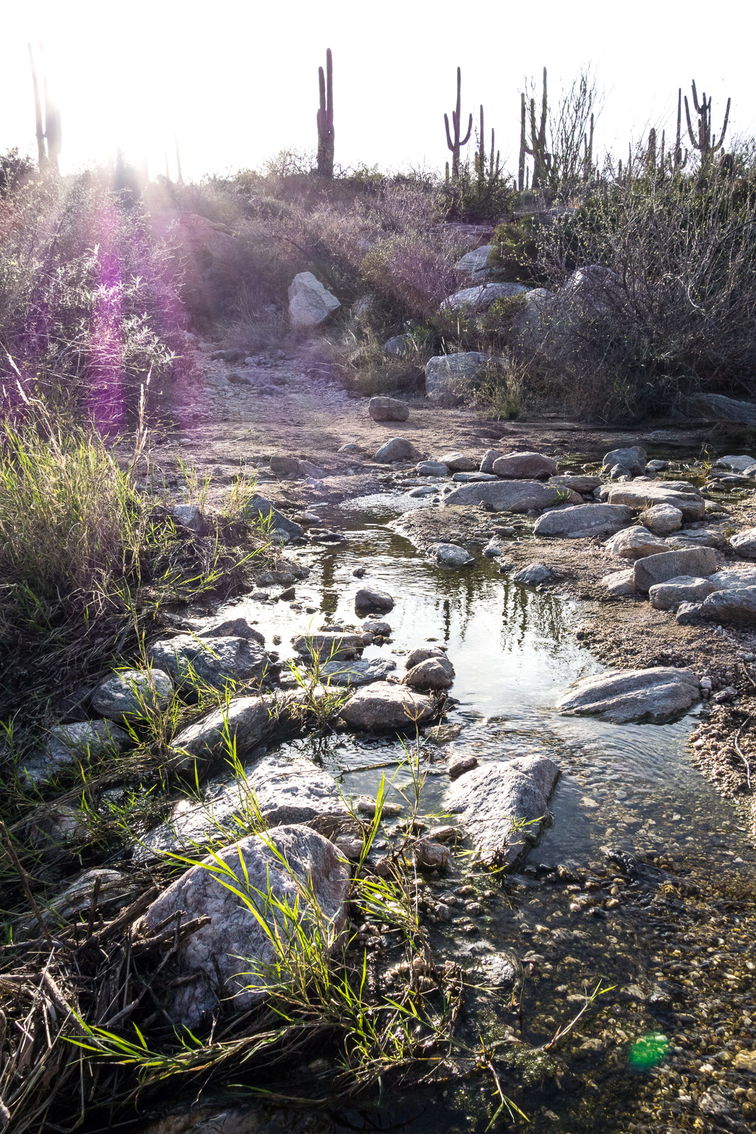
A steep descent – past the edge of the Aspen Fire and into the oaks – takes you to the East Fork of the Canada del Oro. Water flows in this drainage most of the year, always a great spot to stop and enjoy.
The Red Ridge Trail crosses the East Fork of the CDO and quickly reaches a junction with the Catalina Camp Trail. The Red Ridge Trail continues west, chasing the East Fork down to the Canada del Oro – but this loop turns east onto the Catalina Camp Trail. The Catalina Camp Trail used to be the route of the Arizona Trail as it climbed out of the CDO and up to Oracle Ridge – today the AZT takes a kinder and more practical route straight onto the Oracle Ridge Trail from Summerhaven.
The reason I love this loop is the variety. Red Ridge is a wild place, violently burned in the Aspen Fire, with just a hint of the remoteness that some of the more distant sky islands offer. The Catalina Camp Trail is something altogether different – a few minutes from the junction buildings come into view – the address above one of the doors reads ‘One Park Place’.
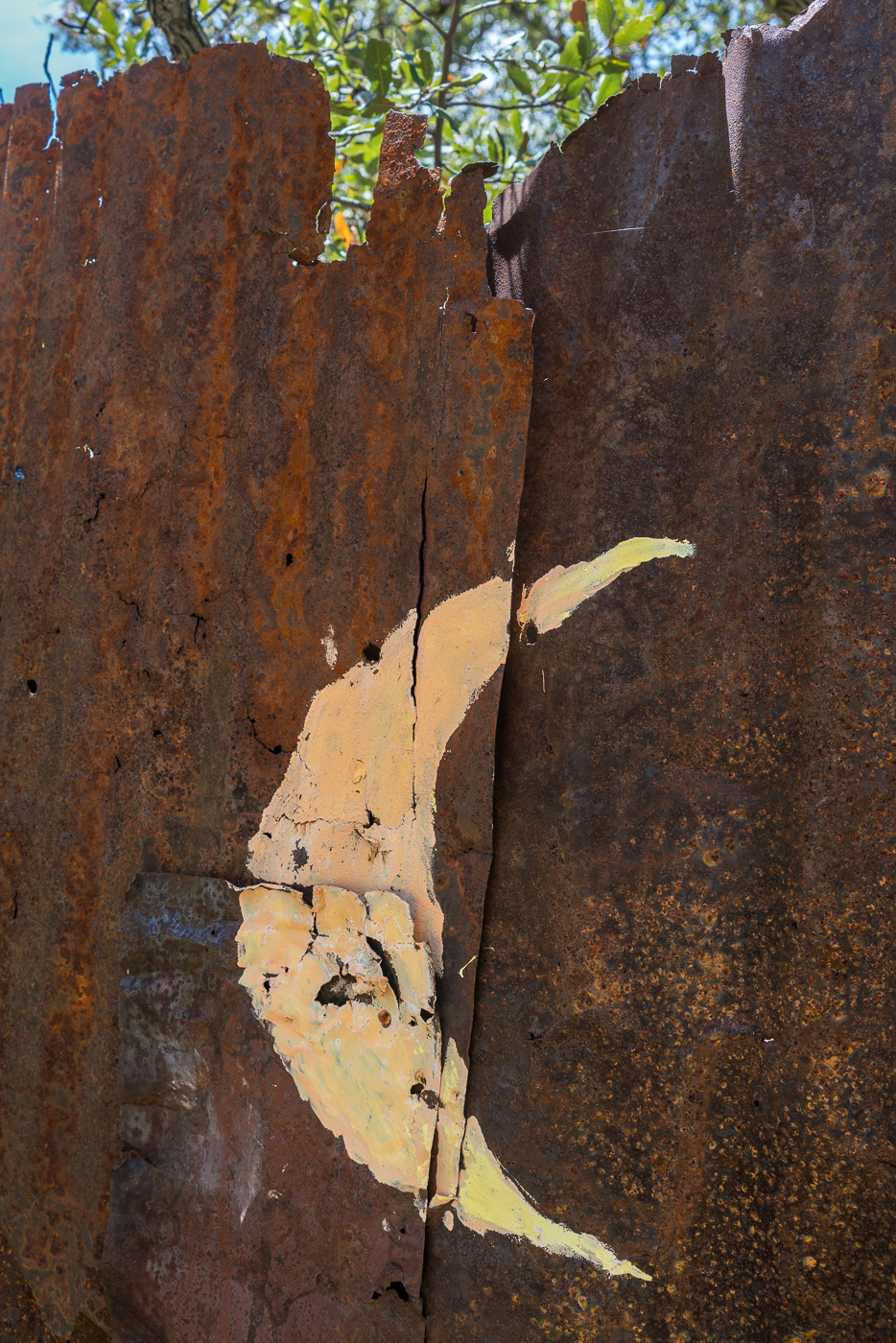
These buildings seem out of place, but they are part of the long history of mining in the Santa Catalina Mountains that predates the construction of the Red Ridge Trail by many years – if you know where to look you can see old equipment rusting back into the earth, disappearing remains of old mining operations.
At Dan Saddle the Catalina Camp and Oracle Ridge Trails meet and this loop joins the current route of the Arizona Trail. The Oracle Ridge Trail between Dan Saddle and the Oracle Ridge Trailhead routes you on and off an old road with views of Marble Peak (a long-time mining area). This area has none of the wildness of Red Ridge – but what it adds to this loop is views of east side of the Santa Catalina Mountains and the San Pedro River Valley – a surprisingly remote area when you consider how close it seems on a map. If you travel out to the east side of the Santa Catalina Mountains it is rare to see other hikers these days – with good reason I suppose, it is an hour (or more) drive from Tucson to reach the start of the long 4wd roads that access the few existing trailheads. The area probably saw more use before the 2003 Bullock fire when the Davis Spring and Brush Corral Trails could still be followed down into the area – now those trails are just off-trail routes…
The Oracle Ridge Trailhead and Red Ridge Trailhead are close enough together that you can walk between them to start, or complete, the loop. Perhaps under-emphasized in the description above is that in addition to being about 9 miles long the loop has around 2800′ of elevation loss and gain, definitely worth considering before committing to this loop!
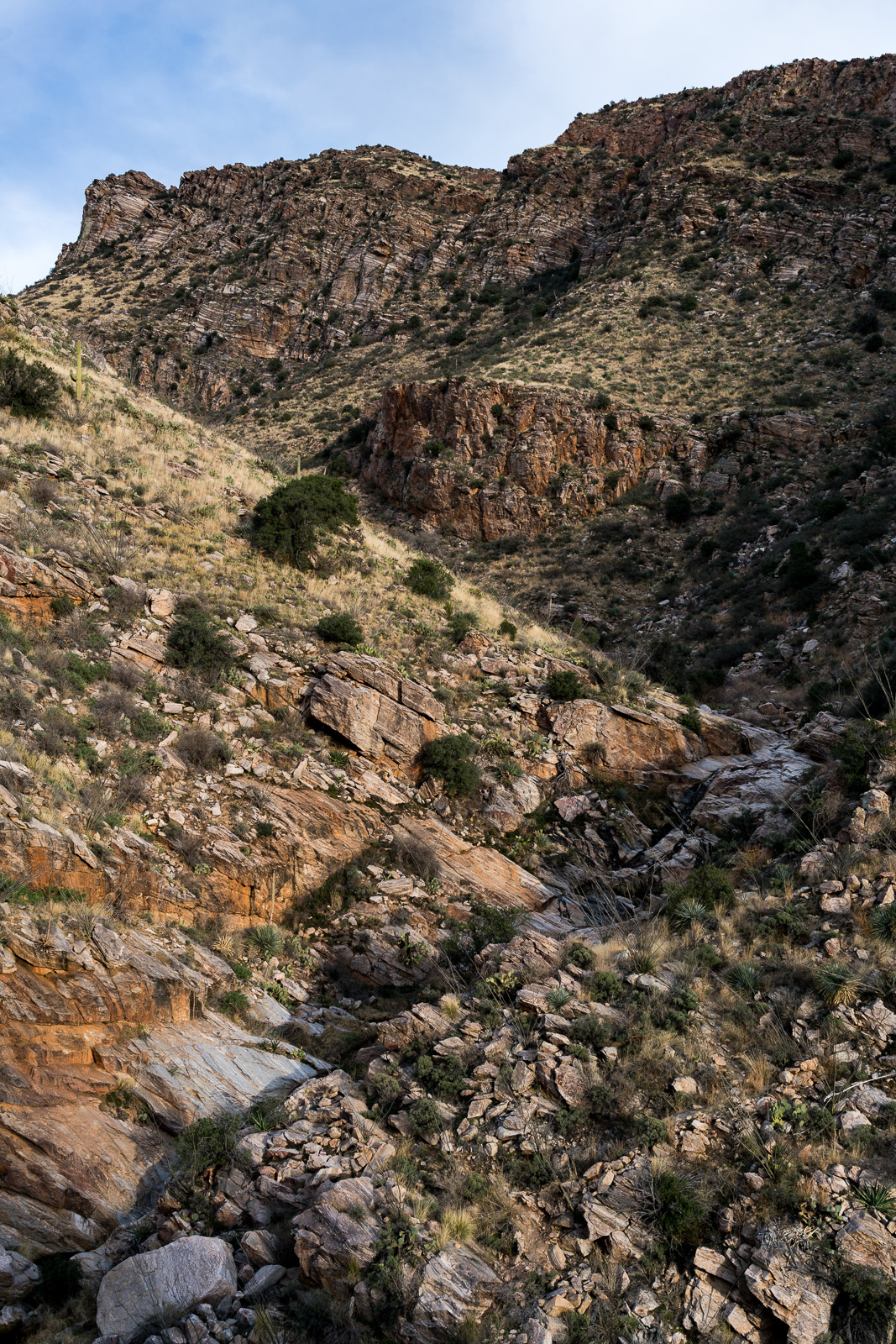
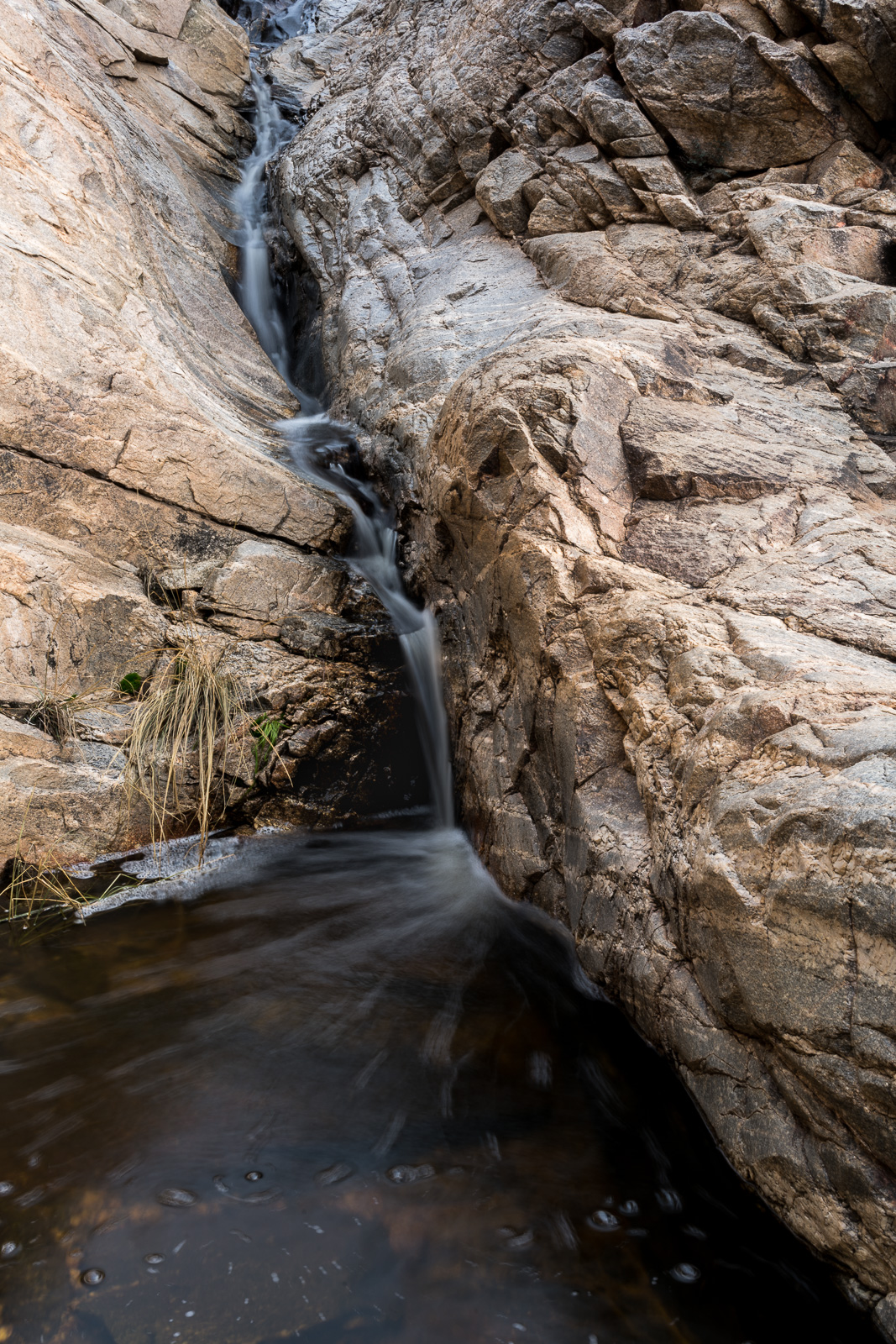
Pontatoc Canyon Trail – 2/5/2017 and 2/9/2017
It is always a treat to start the Pontatoc Trail and see water flowing in the first wash – as you might expect farther up the Pontatoc Canyon Trail there was water at each crossing of Pontatoc Canyon. New-to-me on this hike was watching the moonrise over Pontatoc Ridge – I wonder if, or how many times, it has risen behind me on other hikes, but tired and staring down at the rocky trail in front of me I missed it…