Alder Wash Ruin, History is in the Land: Multivocal Tribal Traditions in Arizona’s San Pedro Valley – 5/17/2018

History is in the Land: Multivocal Tribal Traditions in Arizona's San Pedro Valley - T. J. Ferguson and Chip Colwell-Chanthaphonh. June 2018.
History is in the Land: Multivocal Tribal Traditions in Arizona’s San Pedro Valley – T. J. Ferguson and Chip Colwell-Chanthaphonh. June 2018.

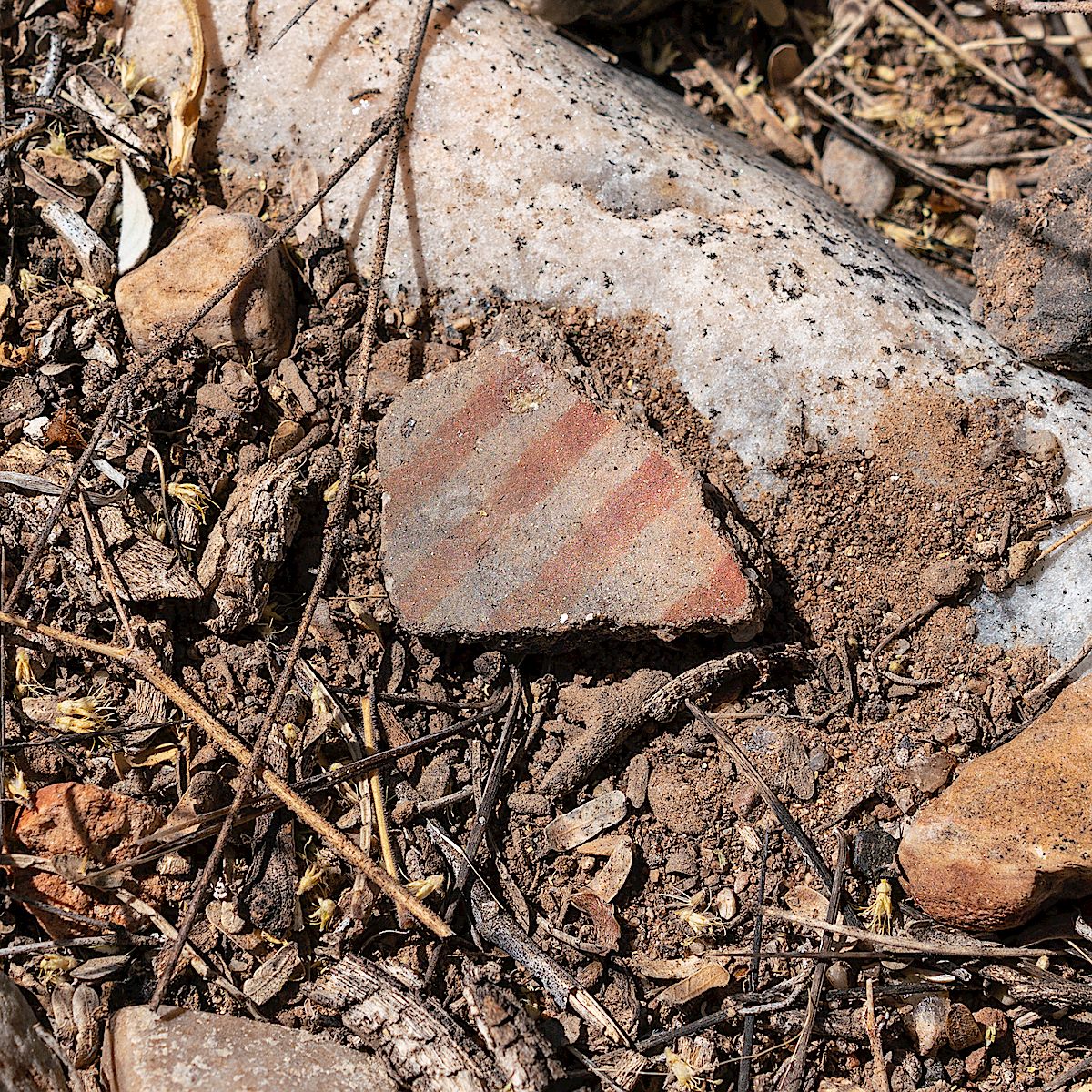
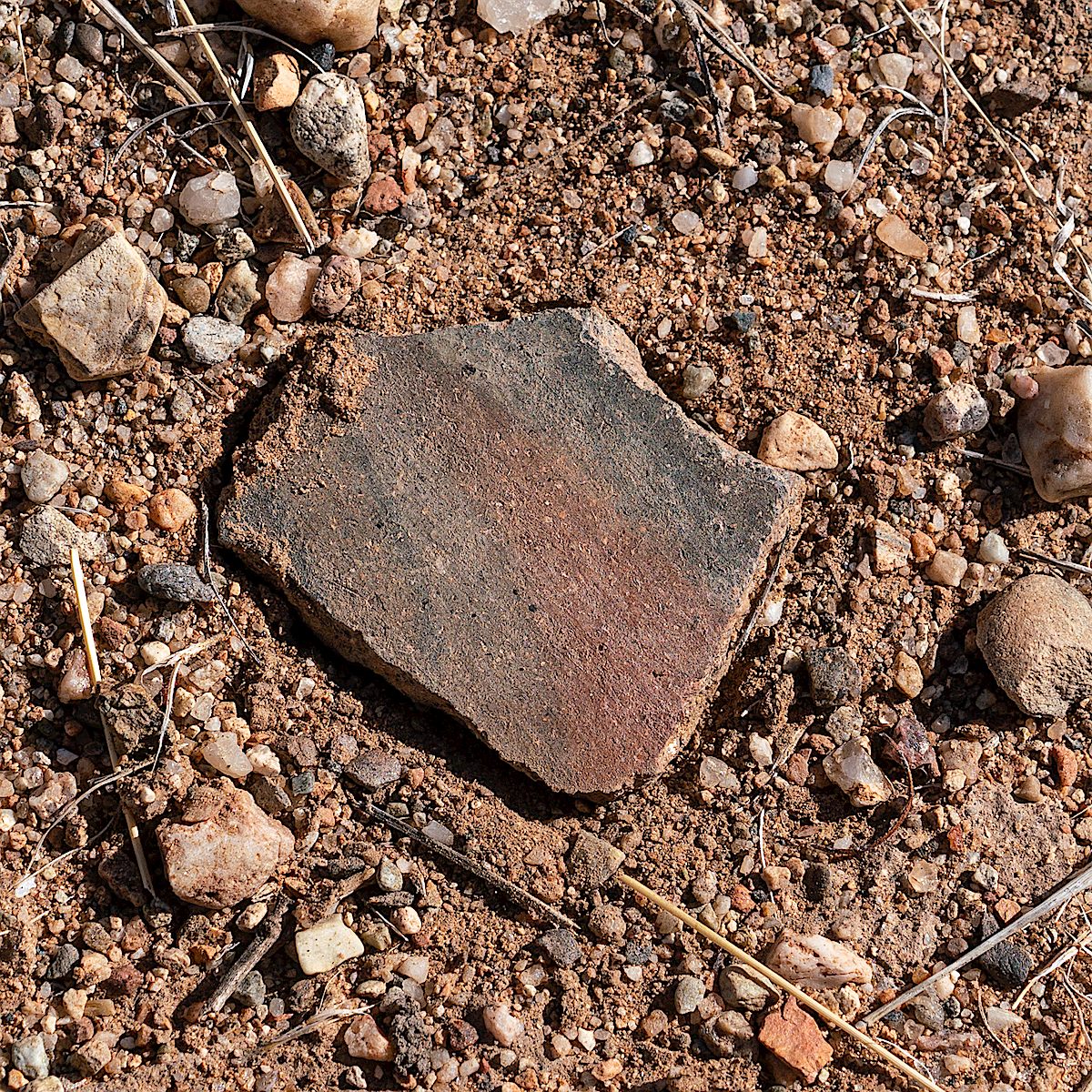
Alder Wash Ruin is a complex, multicomponent site that includes Hohokam pithouses, agricultural features, and a Sobaipuri component. … The different forms of pithouses at Alder Wash Ruin are generally considered to be representative of cultural interaction between the occupants of the San Pedro Valley and areas to the north and east.

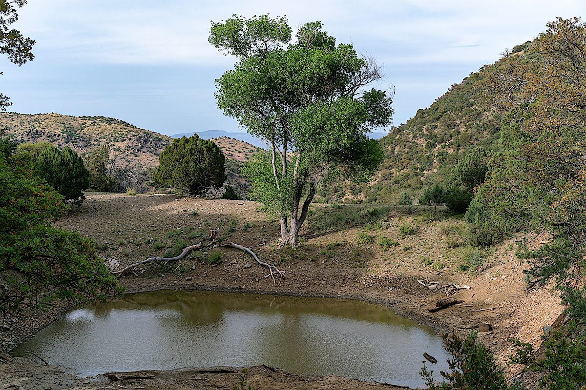
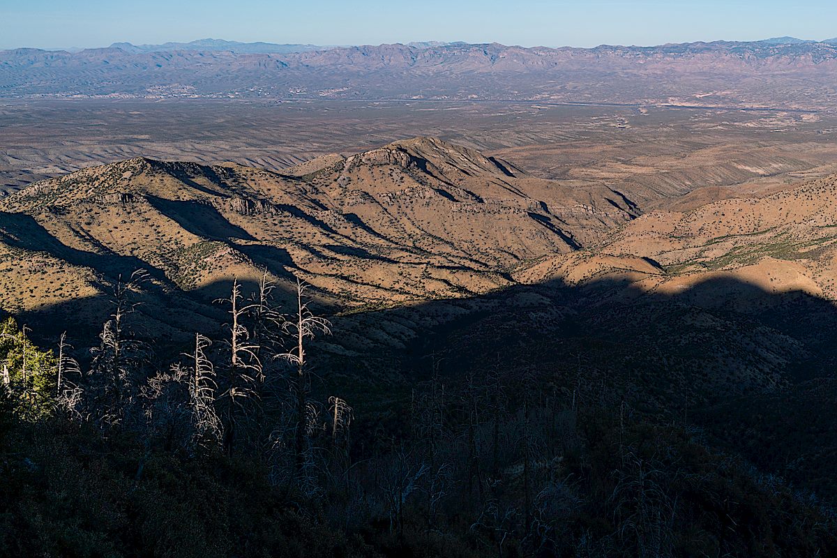
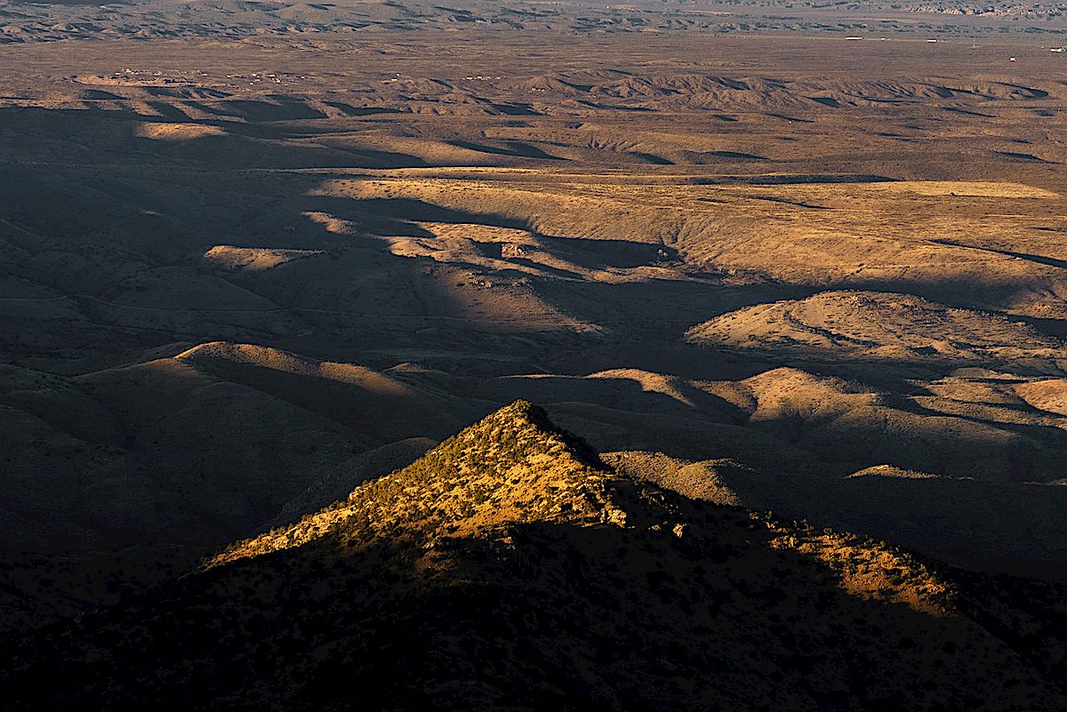
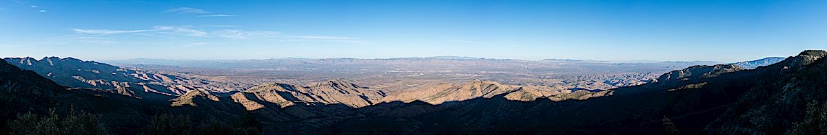
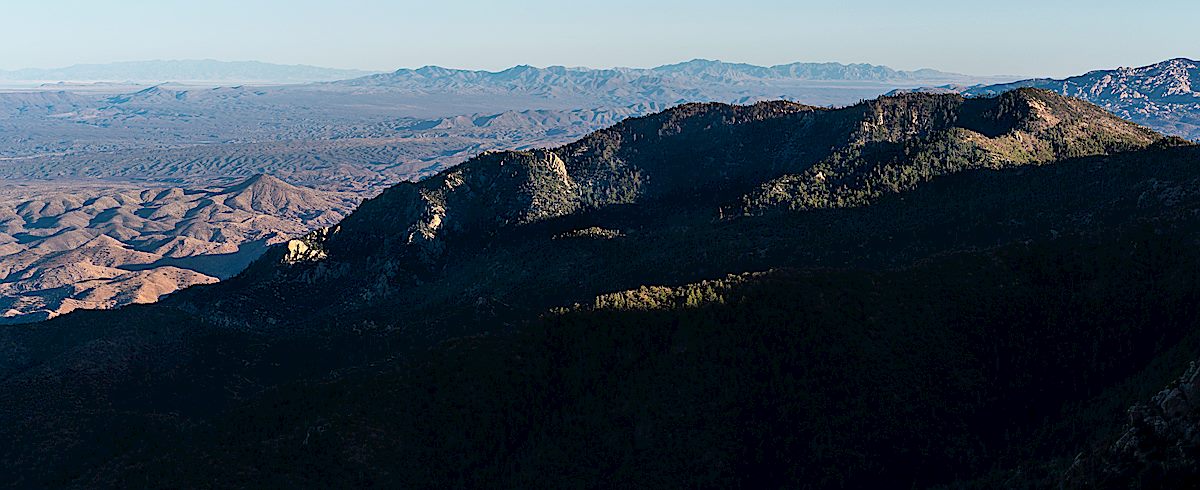
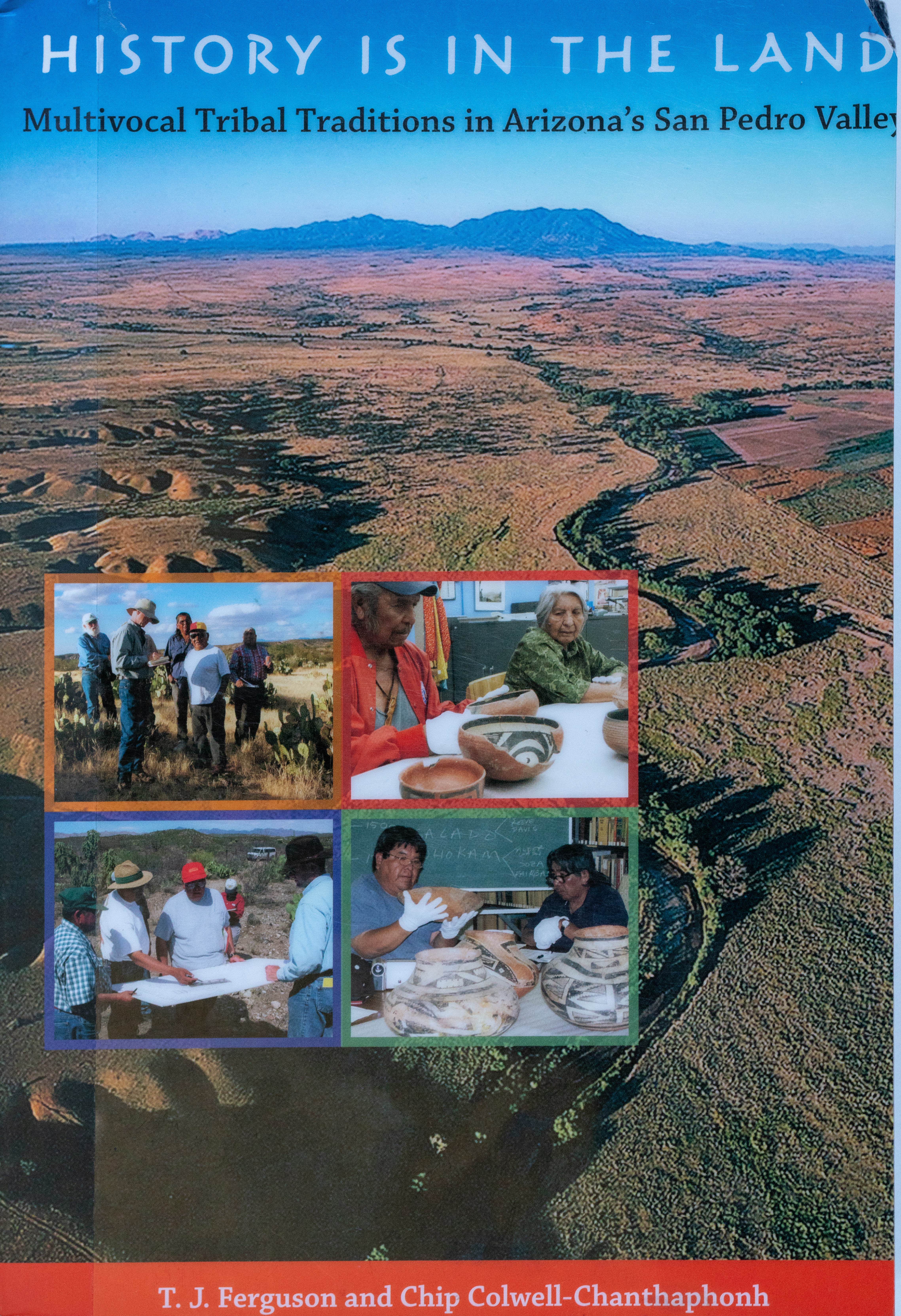
Today’s walk thru the Alder Wash Ruin is a different experience than standing at Reeve Ruin several years ago. Of course the sites themselves are different – Alder Wash is a Hohokam site, Reeve Ruin was occupied by Western Pueblo people who migrated into the San Pedro River Valley… But the experience is largely different because over the past few years I have learned more about the history of the San Pedro River and had the chance to visit more archaeological sites in Southern Arizona. Now I sometimes recognize a scatter of sherds on the desert floor, mounds and depressions occasionally make a tiny (very very tiny…) bit of sense, site names like Davis Ranch, Soza Ruin, Second Canyon, Twin Hawks, Bayless Ruin have a certain familiarity. Some of my familiarity comes from reading (and re-reading) History is in the Land: Multivocal Tribal Traditions in Arizona’s San Pedro Valley by T. J. Ferguson and Chip Colwell-Chanthaphonh – a quote from the book explains the project it is based on:

As Bill Doelle and his colleagues continued their research [along the San Pedro River] in the 1990s, analyzing survey data and initiating test excavations at selected sites, they realized they were acquiring substantial scientific data but had little understanding of what these places mean to contemporary Native Americans whose ancestors once occupied the valley. … He realized that archaeology alone could not provide all of the information needed to fully understand the past. This was the beginning of the San Pedro Ethnohistory Project. … The San Pedro Ethnohistory Project was designed as collaborative research with four Indian tribes to redress this situation by visiting archaeological sites, studying museum collections, and interviewing tribal members to collect traditional histories.

Migration is one subject explored in the History is in the Land: Multivocal Tribal Traditions in Arizona’s San Pedro Valley – the Zuni and Hopi participants in the San Pedro Ethnohistory Project recognize their ancestors in the ruins along and artifacts from the San Pedro River. Migration is also explored on a larger scale in Craig Childs’ House of Rain: Tracking a Vanished Civilization Across the American Southwest. House of Rain is an epic travelogue following the migrations of the Ancient Puebloans from Chaco Canyon, across the southwest and south into Mexico. T. J. Ferguson, one of the authors of History is in the Land, is interviewed by Childs in House of Rain – 

In an even-tempered voice he told me that it is a mistake to see prehistoric archaeology and Native American history as being separate. “It’s an unbroken chain,” Ferguson explained, his soft, glacial-blue eyes peering into the desert as he spoke. “You can’t look at one without looking at the other. And if you’re following paths of migration, you’ll find them in linguistics and in oral traditions. They are still very much intact.”

Sherd at the Alder Wash Ruin. May 2018.
Alder Wash Ruin area above Alder Wash near the San Pedro River. May 2018.

Second Canyon Ruin, San Pedro River – 5/17/2018

Second Canyon. May 2018.

Creosote, desert, depressions, mounds and a scattering of small sherds – without pictures and papers my untrained eye might have passed over this landscape without a second thought – but I know, just a little, about what is here – and even without an academic’s knowledge of the ruins wandering the site and wondering about the past is a privilege.

Tucson Daily Citizen, December 10, 1969 - Ruins Uncovered At Redington. May 2018.

Tucson Daily Citizen, December 10, 1969 – Ruins Uncovered At Redington. May 2018.

In the late 1960s a paved road between Redington and San Manuel was planned that would have passed thru, and destroyed most of the Second Canyon Ruin, so in 1969 and 1970 it was excavated as part of the highway salvage archaeology program. Thankfully the road was never built and the Second Canyon Ruin still exists. Hayward Hoskins Franklin published information on the excavation in his 1978 dissertation and today one interesting starting point for reading about this area is Archaeology Southwest’s  Summer 2003 (Volume 17, Number 3) Magazine.

The ruin today doesn’t look like the pictures from the excavations – I assume that the excavated areas were filled in once the project ended nearly 50 years ago – plenty of time for the desert to reclaim the site.

Second Canyon Sherd. May 2018.

Second Canyon Sherd. May 2018.
Pottery at Second Canyon. May 2018.
Second Canyon Sherd. May 2018.

Oracle Ridge Trail and Forest Roads East – 4/30/2018

Hedgehog cactus and a view across the San Pedro River Valley from a high point off FR4475. April 2018.

A few minutes from FR639 on the Oracle Ridge Trail I heard my first rattle of the season. With a long stretch of 100 degree days in the forecast it felt like a warning of summer’s arrival – a strange Arizona variation on Groundhog Day with the messenger hidden in the deep dry grass.

Unlike most of the trails in the Santa Catalina Mountains the Oracle Ridge Trail uses a number of Forest Service roads. North east of Rice Peak the trail uses part of a network of roads that ascend from the Control Road in the Peppersauce Wash/Nugget Canyon area and allow 4WD access to the peak.

With enough vehicle traffic these roads would be a dusty misery on foot – but it is easy enough to find days when the roads are quiet and you can use them to make a variety of longer or shorter loops thru the mountains – like many hikers I generally choose trails over roads, but there are so many beautiful details hiding in the mountains, no reason to avoid a quiet road when you have the chance…

Apache Peak from a high point off FR4475 below Oracle Ridge. April 2018.
An unnamed tank near FR4475 and FR4472. April 2018.
Sunset from the Oracle Ridge Trail. April 2018.

SunZia, Buehman Canyon to Brush Corral Road – 1/8/2018, 1/16/2018, 2/25/2018, 2/26/2018

Rocks, Lines. February 2018.

(This is Part Two of a series of Posts on the SunZia Transmission Line Project – the previous post was SunZia – Redington Road North to Buehman Canyon – 12/12/2017. See the bottom of either post for more information about SunZia.)

The rocks look like maps – they remind me of the shape of the San Pedro River and of the brutal line that the SunZia project may cut thru this landscape. On four different days I explored the canyons under, and terrain around, the proposed SunZia route – from the north edge of Buehman Canyon, across the hills to Edgar Canyon and up to the Brush Corral Road.

In Buehman Canyon - looking up at the sky - the lines of the SunZia project may one day interrupt this view. February 2018.
In Buehman Canyon – looking up at the sky – the lines of the SunZia project may one day interrupt this view. February 2018.

Recent rains must have filled Buehman Canyon with water – there is wall to wall slippery mud and debris pressed against the tree trunks. I suppose the power lines hanging overhead won’t change the canyon much, but there is an infinite difference between nothing and something.

Sitting on the south side of the Buehman Canyon the first stars of the evening appear over the SunZia route – towers on the canyon sides may eventually carry the transmission lines across Buehman Canyon – man-made shapes added to the dark silhouette of land below the stars.

First stars appearing - looking south across Buehman Canyon on the Proposed SunZia Route. February 2018.
First stars appearing – looking south across Buehman Canyon on the Proposed SunZia Route. February 2018.

Early in the morning the milky way is low in the sky and frost covers my gear, a cold start quickly changes to a warm day hiking north thru the desert. The SunZia route crosses the Brush Corral Road and continues across hills and small washes towards Edgar Canyon, both the Santa Catalinas and Galiuros are visible. A long set of access roads will be cut into these hills to construct and maintain the lines.

A panoramic view from the SunZia route with both the Santa Catalina Mountains (left) and Galiuros (right) in the distance. February 2018.
Empty desert - walking north along the proposed SunZia route to the sourth side of Edgar Canyon. February 2018.
Empty desert – walking north along the proposed SunZia route to the sourth side of Edgar Canyon. February 2018.
Looking north across Edgar Canyon on the proposed SunZia route. February 2018.
Sky above Edgar Canyon along the proposed SunZia transmission line route. January 2018.

The lower section of Edgar Canyon is a surprise, more to explore, and more reason to come back, than I had guessed – like Buehman Canyon there aren’t towers or new access roads in the canyon bottom – ‘just’ a line imprisoning the sky. From the edge of Edgar Canyon the line follows hills and washes to the Davis Mesa Road.

An abandoned tank south of the Brush Corral Road near the proposed SunZia route. January 2018.
Sunzia Route Crossing the Davis Mesa Road with the Galiuros in the background. January 2018.

It is sad to think about the changes coming to this landscape – I read Chris Townsend’s Thoughts on the Conservation and Restoration of Nature in Scotland while working on images for this post and found it encouraging and relevant – I am not familiar with the places and organizations in his post, but I suspect the subject will be immediately familiar regardless of your location:

Whilst the Gleann nam Fiadh track is depressing there is much that is positive in the conservation and restoration of nature in the Scottish hills and elsewhere in Britain. Not enough certainly but looking at what is being done can counter the feelings of despair when more damage occurs. It can also encourage a desire to help protect what is left and restore what we can. Public pressure is what counts here. I doubt many politicians would do much without it (there are a few who would, perhaps). It’s easy to think that one person can’t do anything and that signing petitions, sharing and commenting on posts on social media, and writing to representatives achieves nothing. However any effect from these actions is cumulative. If enough people take part then sometimes a momentum can build towards something happening. The alternative is to give up.

The proposed SunZia route from Buehman to Edgar Canyon - 12 towers (yellow dots), miles or new roads plowing thru the desert (red lines), 4 days of exploring the area (blue lines). March 2018.
The proposed SunZia route from Buehman to Edgar Canyon – 12 towers (yellow dots), miles or new roads plowing thru the desert (red lines), 4 days of exploring the area (blue lines). March 2018.

Some SunZia reading material:

Rocks along the SunZia route - beautiful patterns, an ancient map of the landscape. February 2018.
Rocks along the SunZia route – beautiful patterns like an ancient map of the landscape. February 2018.

Point 7556 Near the Knagge Trail – 2/4/2018

Looking down into Edgar Canyon and over to the Davis Spring Trailhead. February 2018.

Point 7556 is a short distance from the Knagge Trail – no trail, but easy enough to get to. I can’t remember having walked out to it before, no idea why not, but I guess with so many places to explore…

In a way it might be better that I overlooked it until now. Years ago the views would have been just as spectacular – a sweeping view down into the San Pedro River Valley and across to distant mountain ranges, east side canyons and rolling hills folding the landscape – but looking down now, after having spent more time in recent years exploring the east side of the Santa Catalina Mountains, is more interesting, and more personal, than it used to be.

A small peak in the sunset light from Point 7556. February 2018.
A huge view down into and across the San Pedro River Valley from Point 7556 off the Knagge Trail. February 2018.
Guthrie Mountain from Point 7556. February 2018.