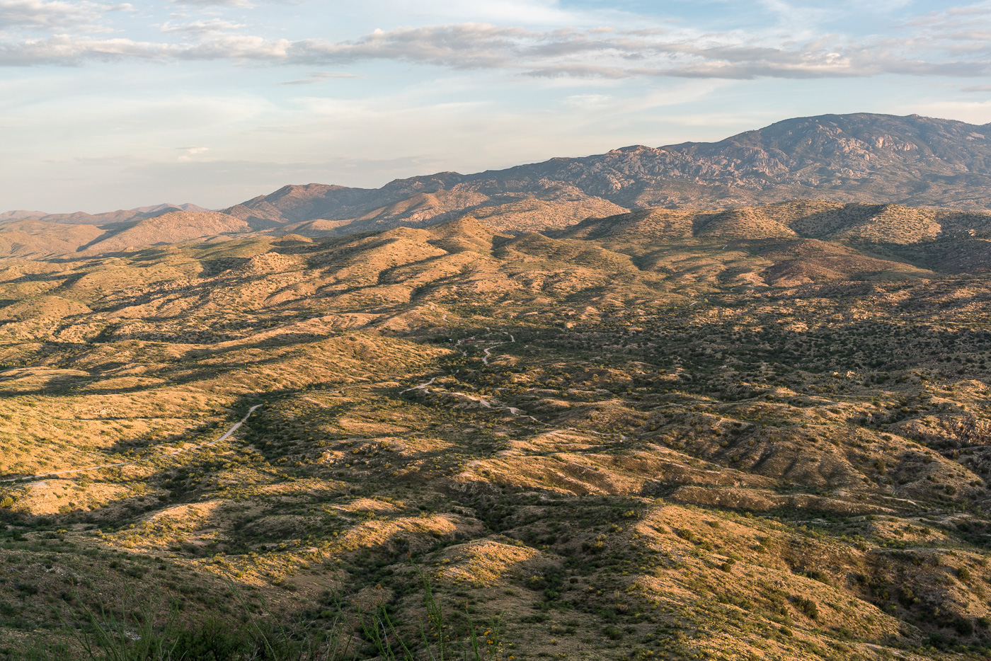
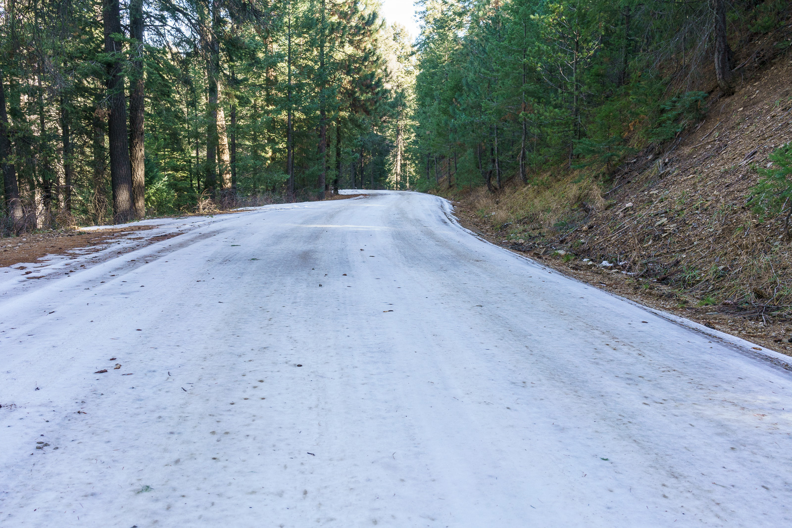
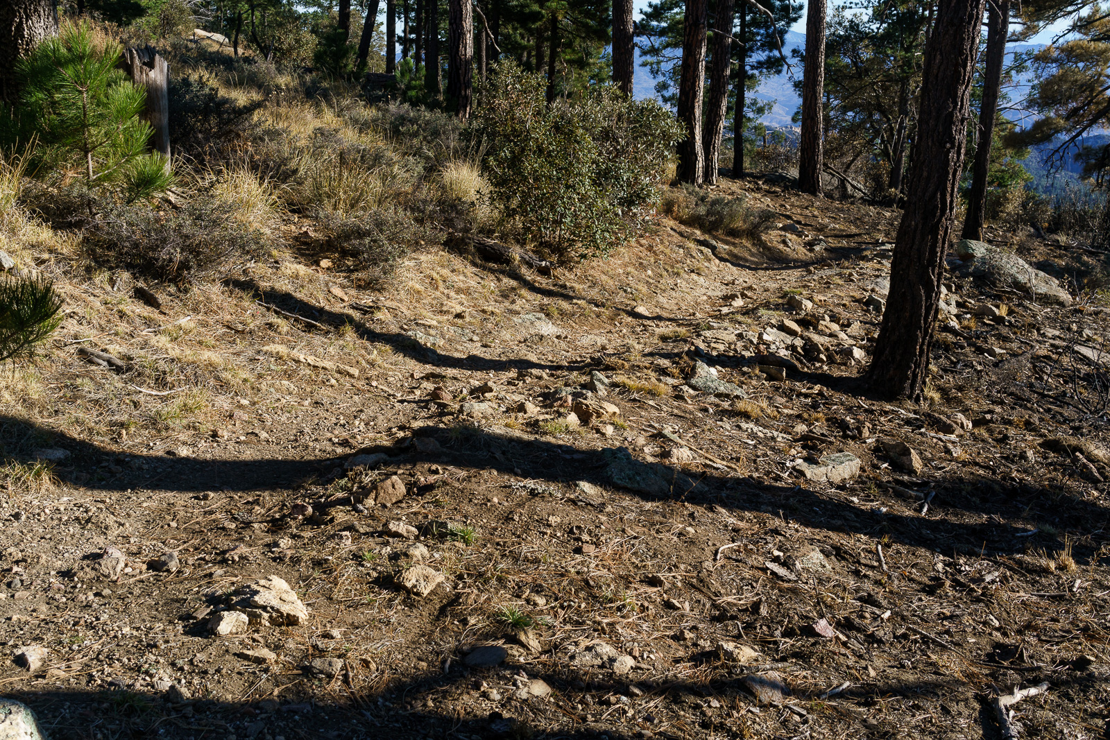
Redington Road had been closed since the start of July due to the Burro Fire – on the first day that it re-opened I drove out along the fire perimeter and hiked to the top of Piety Hill. The Burro Fire was stopped west of Piety Hill and in the sunset light it was hard tell where the Burro Fire burned – I am sure that there are areas that were heavily impacted by the fire but from Piety Hill I can still see green trees and grass below.
Piety Hill’s shadow towards the San Pedro Valley. July 2017.
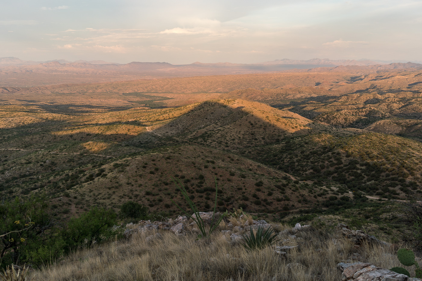
Piety Hill is located on Pima County’s A7 Ranch – at 4,714′ it is not stunning high (‘Hill’ is the right name) – but it is high enough to overlook the San Pedro Valley and offer great views of the surrounding terrain! There is no official trail to the top, but the terrain, while steep, is reasonably open and it is not hard to find a way to the top.
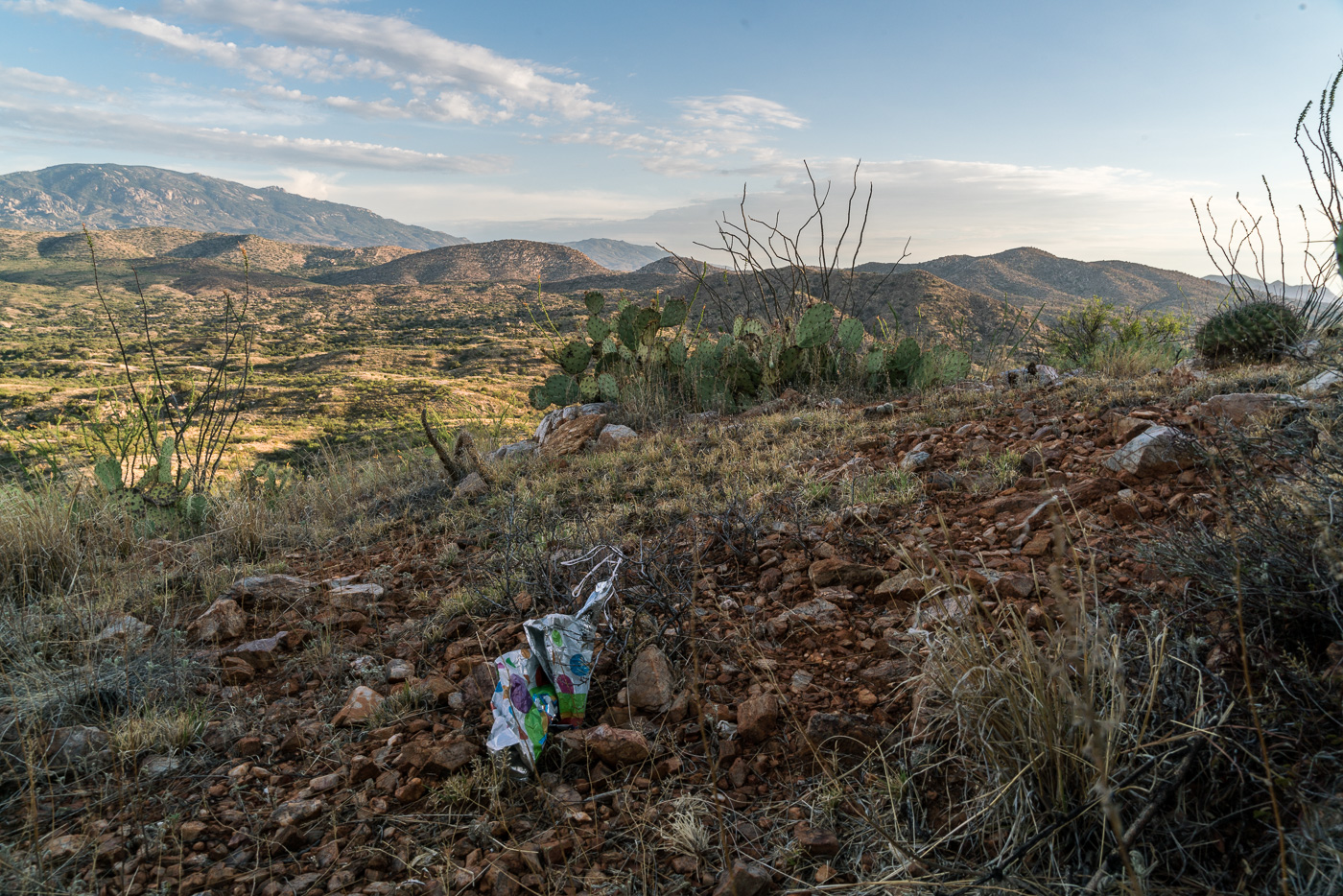
Looking up into the Santa Catalina Mountains from Piety Hill – Mount Bigelow on the left, Westfall Knob in the center. July 2017.Balloon Trash on the slopes of Piety Hill. July 2017.
Sabino Canyon is a beautiful destination but it is often crowded on any weekend with (even vaguely) good weather. Holidays can be particularly busy – to help with the congestion from Dec. 26 to Jan. 2 there will be a shuttle from Udall Park to Sabino Canyon. The shuttle will start at Udall Park at 9:15 and run each hour – the last shuttle will leave Sabino Canyon at 4:45. The shuttle can carry 40 people and it could be a nice way to avoid a packed and frustrating experience in the Sabino Canyon Parking Lot!! I believe this is the first year this service has been offered – it might be best to keep a little flexibility in your plans just-in-case the shuttle is full or not quite on time… Free holiday shuttle could help ease Sabino Canyon’s parking hassles | Government and politics | tucson.com – Arizona Daily Star, Free Electric Shuttle To and From Sabino Canyon During Holiday Break – City of Tucson
Redington Pass Shooting Closure Extended, One Area Reopens – Coronado National Forest: The shooting closures that has been in place since 2013 has been extended and slightly modified. The area was originally closed while trash and debris related to shooting were removed and the extension is designed to help the area to recover. From the Forest Service:
According to the closure, shooting will be prohibited within 0.6 miles on either side of the road from the western boundary of the Forest to mile marker 6.3. The previous closure prohibited recreational shooting from mile marker 5 to mile marker 7.
Raven euthanized after caught in leg trap in Redington Pass – KVOA.com: A rather sad story about a Raven found in a baited leg hold trap in the Redington Pass area who was eventually euthanized – these traps are illegal on public lands as is trapping Ravens.
Authorities need help after deer poached in Catalina Mountains – Tucson News Now: “A $1,000 reward is being offered for tips leading to the arrest of the person who killed a Whitetail deer in the Santa Catalina Mountains last month. The Arizona Game and Fish Department said the animal, an untagged Whitetail buck, was found Oct. 9 off Forest Service Road 4496 in the Charoleau Gap area.”
A Career of Her Own: Edith Shreve at the Desert Laboratory – University of Arizona Campus Repository: Janice Bowers wrote about Forrest Shreve, who worked at the Desert Labratory in Tucson, in the book A Sense of Place - The Life and Work of Forrest Shreve – she also authored this article about Edith Shreve. The article is from 1986 but I had not come across it until recently – it is an interesting read and includes a picture of Edith Shreve during an expedition into the Santa Catalina Mountains in the early 1900s! The name Shreve will be familiar to dedicated Santa Catalina Mountain hikers because of Shreve Saddle on the Sycamore Reservoir Trail.
In November, after the release of 20 more Bighorn into the Santa Catalina Mountains, Arizona Game and Fish declared that the population has reached a sustainable level and that:
No more releases are planned
monthly updates about the project will no longer be released
not all of the sheep released had GPS collars attached
Mountain Lions that kill Bighorns will no longer be pursued
AZGF Research Projects are scheduled to end in June 2017
I suppose at this point it will be many years until we know if this project was truly successful…
Rescues/Accidents/Incidents including information from the SARCI Newsletter:
Wilderness of Rocks 10/1/2016: Hiker stranded by darkness is found off trail near the Wilderness of Rocks/Lemmon Rock junction
Windy Point 10/6/2016: An injury requiring a carry out of the patient
Sutherland Trail 10/8/2016: A hiker on one of the many social trail off the Sutherland Trail in the Catalina State Park area became exhausted and was carried out
Sabino Canyon 10/13/2016: Hikers requested help after hiking down canyon past the guaging station and were helped out
Aspen Trail 10/15/2016: Hikers lost the trail but were able to find the trail and reach their vehicle before help arrived
Butterfly Trail 10/17/2016: A biker on the Butterfly Trail lost the trail in the Novio Spring area and was extracted.
Snow hiding in the shadow of Mount Bigelow. December 2016.
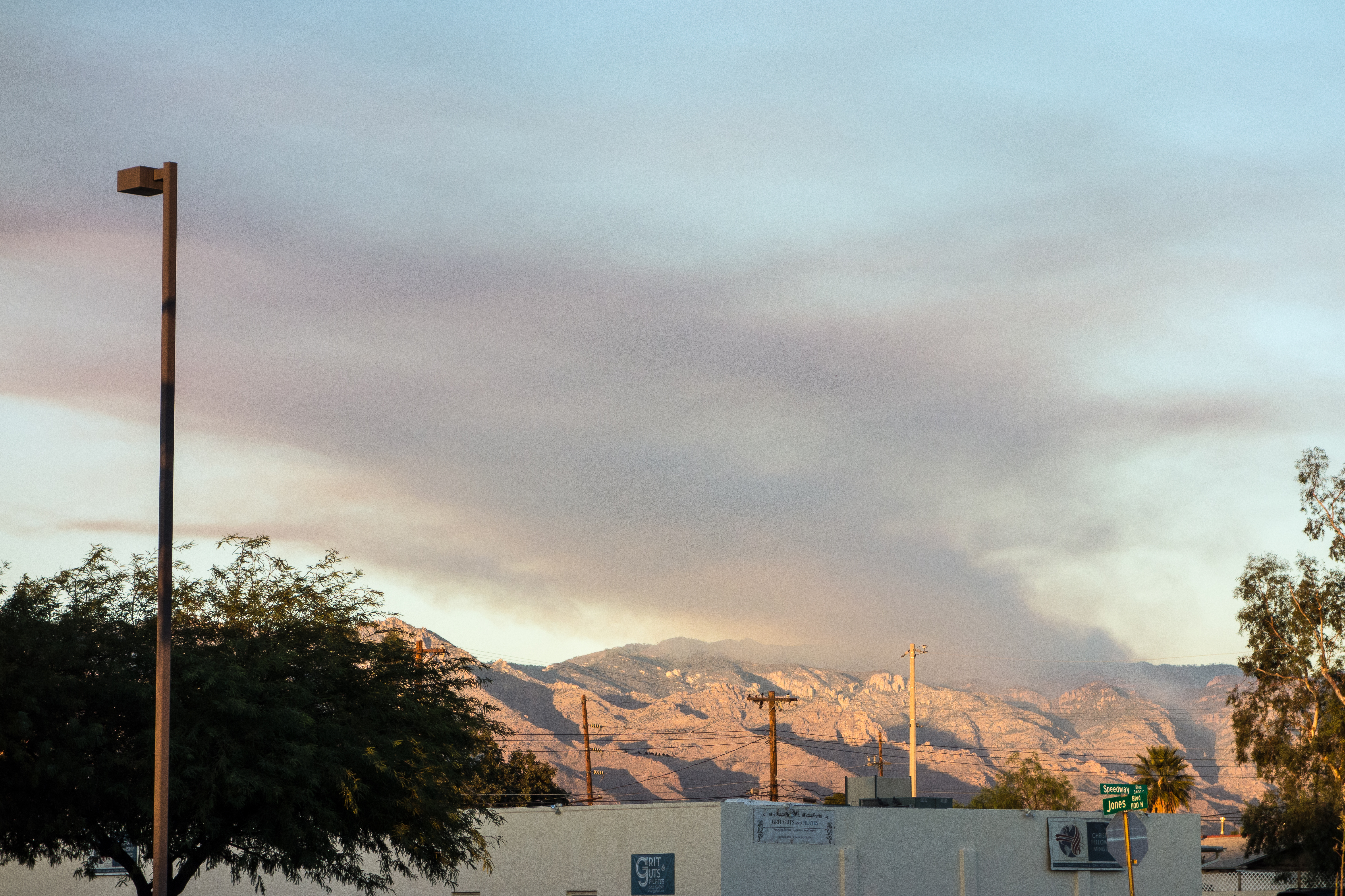
Smoke from the Bigelow Prescribed Burn – taken from Speedway Boulevard in Tucson. December 2016.
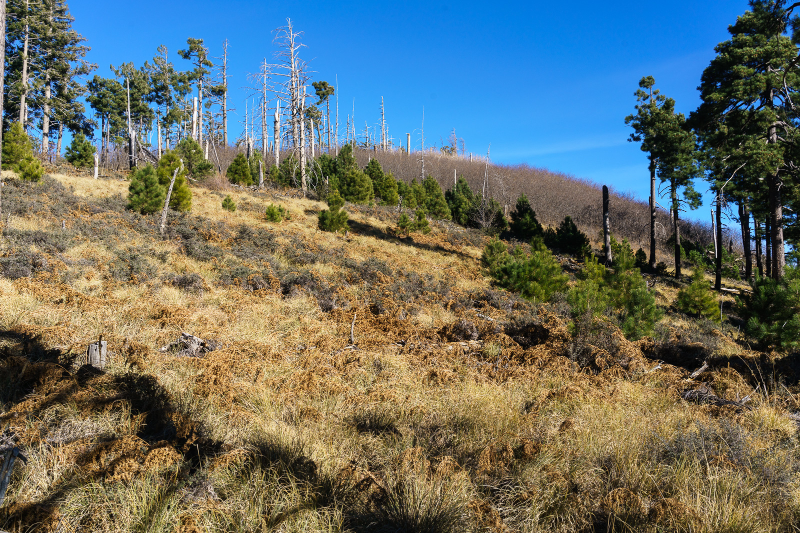
The Forest Service was careful to publish information about the Bigelow Prescribed Burn well in advance – but even so it was hard not to be alarmed by the impressive amount of smoke that the fire was producing, easily visible from Tucson it generated plenty of questions and it was hard not to wonder if the controlled burn had somehow gone awry…
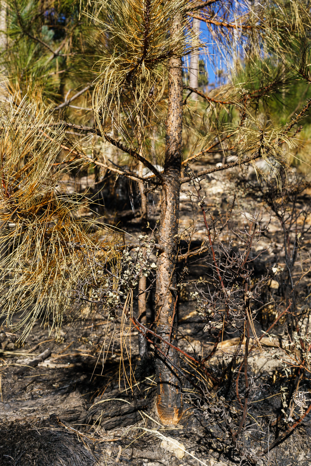
A small pine along the Bigelow Trail in the Bigelow Controlled Burn area – many of even the smaller pines still had green needles and appear to have survived the fire. December 2016.
Hiking up the Bigelow Trail from the Bigelow Trailhead the impact of the fire was obvious – black ground, black tree trunks. I wasn’t until I reached the edge of the burn that I could really tell just how impressively effective the fire had been – fairly dense grass and shrubs cover the hill on one side / on the other the ground is remarkably clear.
Grass and shrub covered hillside on the left of the trail, burned – and cleared – ground on the right. December 2016.
We visited Kellogg Mountain just before the controlled burn – I wondered what impact the fire might have on the impressive thicket of New Mexico Locust growing near the top – but near Kellogg the Bigelow Trail was the edge of the fire and Kellogg Mountain was untouched.
Looking up at Kellogg Mountain from the Bigelow Trail – Kellogg was untouched by the Bigelow Controlled Burn. December 2016.
Saguaro just off the General Hitchcock Highway. May 2016.
The drive up to San Pedro Vista was slightly slower than normal – both because I couldn’t resist stopping and photographing Saguaros near the highway and because a film crew was set up at Windy Point filling part of the parking lot with trailers and vehicles and occasionally stopping traffic. I didn’t see what they were filming – but the motorcycles in a pop-up tent and drone hovering off the side of the highway on my way down did make me a bit curious…
From Barnum Rock: Green Mountain – center, Guthrie Mountain – left, San Pedro Vista – lower left, Mica Mountain in the Rincon Mountains – right. May 2016.
From San Pedro Vista I intended to take the Incinerator Ridge Trail and Kellogg Trail up to Mount Bigelow – my idea was a good workout with great views – but the views quickly won out over the workout – I sat on the top of Barnum Rock and watched the sun and clouds create shapes of light and shadow on Green and Guthrie Mountains and then admired Kellogg Mountain, Mount Bigelow and the San Pedro Valley from Leopold Point.
Kellogg Mountain and Mount Bigelow from Leopold Point near the Incinerator Ridge Trail. May 2016.
Rider Carol Fontana and her horse Tiki passed thru the Santa Catalina Mountains in May as part of their thru-ride of the Arizona Trail – see more about their journey on SaddleUpAz. The ride is to support and raise awareness of the Prescott Area Shelter Services whose mission is “serve homeless women, families, and veterans by providing temporary shelter, resources, individualized case management, and a pathway to permanent housing.”
Sunset from the Agua Caliente Hill Trail. October 2015.Tucson City Lights from Point 3321 off the Agua Caliente Hill Trail. October 2015.Mount Bigelow in the stars – looking up from Point 3321 off the Agua Caliente Hill Trail. October 2015.