7 Days, Bighorn Spotting, Slides – 3/2/2017

Fairy Dusters and sunset on the Pontatoc Canyon Trail. February 2017.

Oracle State Park is now open 7 days a week!!!! Closed in 2009, re-opened to the public on weekends in 2012 and now open 7 days a week! Oracle State Park reopens to the Public 7 Days a Week! | Oracle State Park – Arizona State Parks, Oracle State Park north of Tucson will again be open daily – Arizona Daily Star.

Get a look at Tucson’s bighorn sheep through spotting scopes – Arizona Daily Star: This upcoming event is being hosted by the Arizona Game and Fish Department and the Santa Catalina Bighorn Sheep Advisory Committee. The event is “a celebration of the completion of the initial phase of a bighorn reintroduction project in the Catalina Mountains” and will be held from 11 a.m. to 3 p.m. at Westward Look Wyndham Grand Resort and Spa, 245 E. Ina Road – there is no fee and there will be exhibits, talks and spotting scopes!

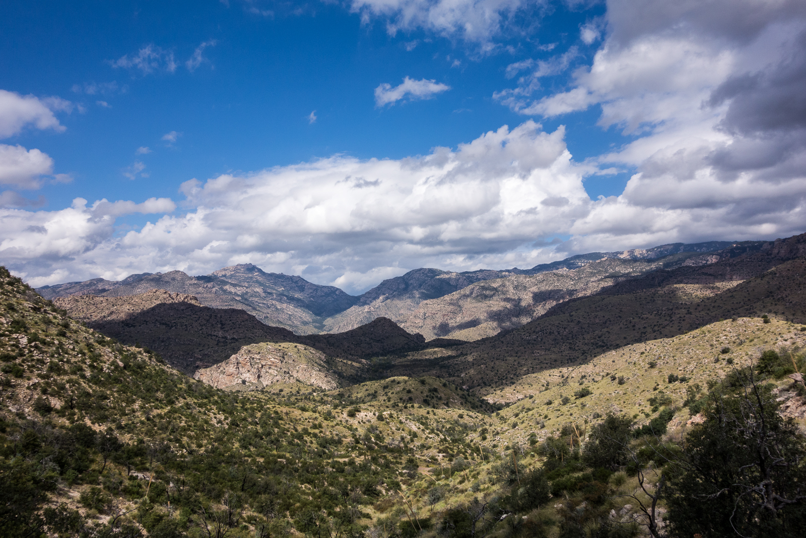
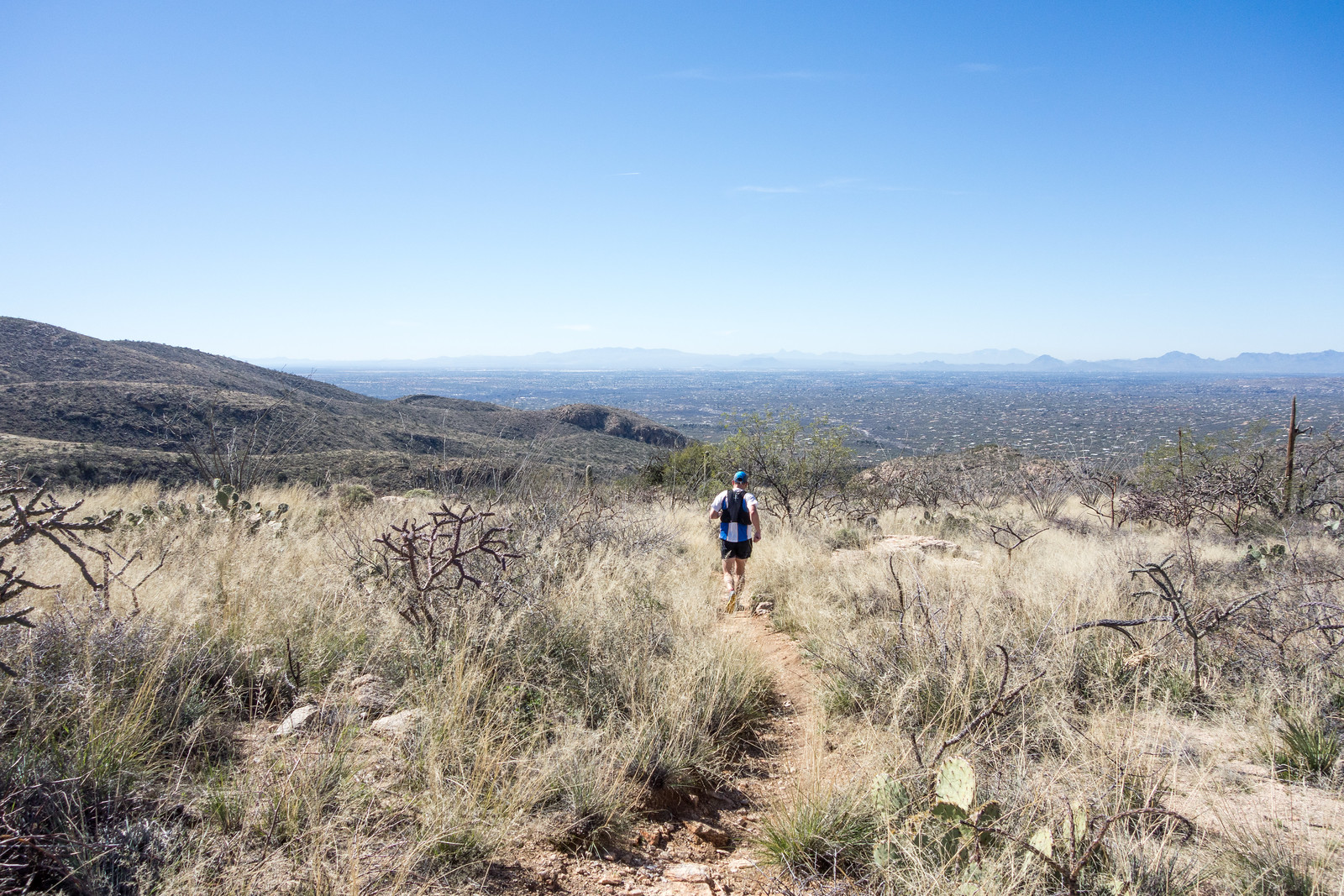
I have made a number of visits to the Linda Vista Trails over the years and have always enjoyed it – great views of Pusch Ridge and amazing desert close to town. Certainly so close to town you won’t completely escape city views and noise – but still beautiful! So it was no surprise to see a positive article by Doug Kreutz about Linda Vista – but it was a surprise to read a short letter to the editor a few days later with concerns that the trails are suffering because a “commercial horseback riding enterprise now using Linda Vista as its own private trail system” – something to think about…  Linda Vista Trail’s various adventures attract amazing array of users – Arizona Daily Star, Letter: Linda Vista Trail suffers | Letters to the Editor | tucson.com – Arizona Daily Star

Dark side of U.S. history that built Catalina Highway | Arizona Sonora News Service – Arizona Sonora News: An article about the Prison Camp – now called the Gordon Hirabayashi Recreation Site – on the General Hitchcock Highway that provided labor for the construction of the highway. The article highlights the terrible treatment of Japanese Americans during WWII – 46 Japanese Americans were held at this Prison. The article does not contain details about the history of the Prison before and after WWII – the National Park System and the Densho Encyclopedia both have interesting additional information.

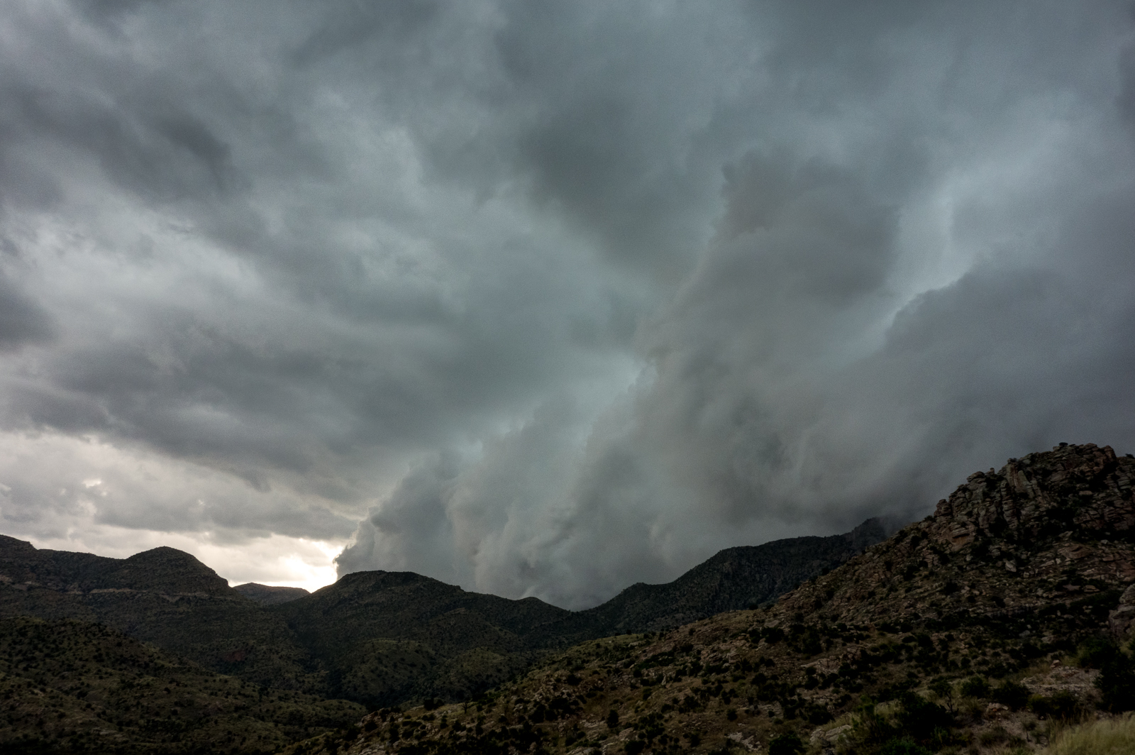
Highway closures – the first link has several pictures that give a good idea of the kind of rock/mud slides that can happen in wet weather:  Catalina Highway ‘open but restricted’ after rock slide – Tucson News Now, UPDATE: Rock slides cleared from road to Mt. Lemmon – Tucson News Now,  PCSD: Mt. Lemmon open with vehicle restrictions – Tucson News Now

Activity Lists: Outdoor activities March 2-10 | Things to Do in Tucson | tucson.com – Arizona Daily Star, Outdoors Feb. 23-March 3 | Things to Do in Tucson | tucson.com – Arizona Daily Star

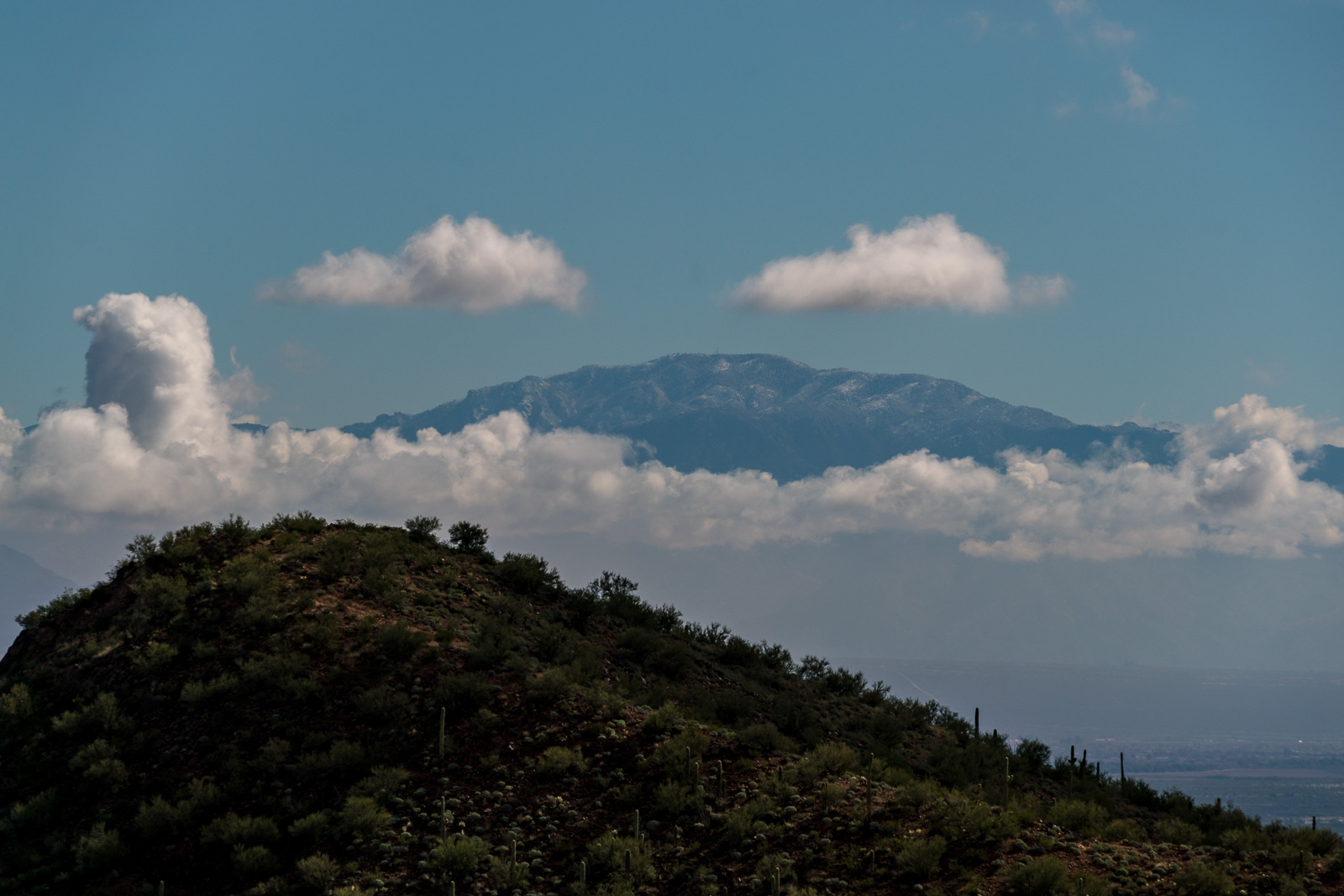
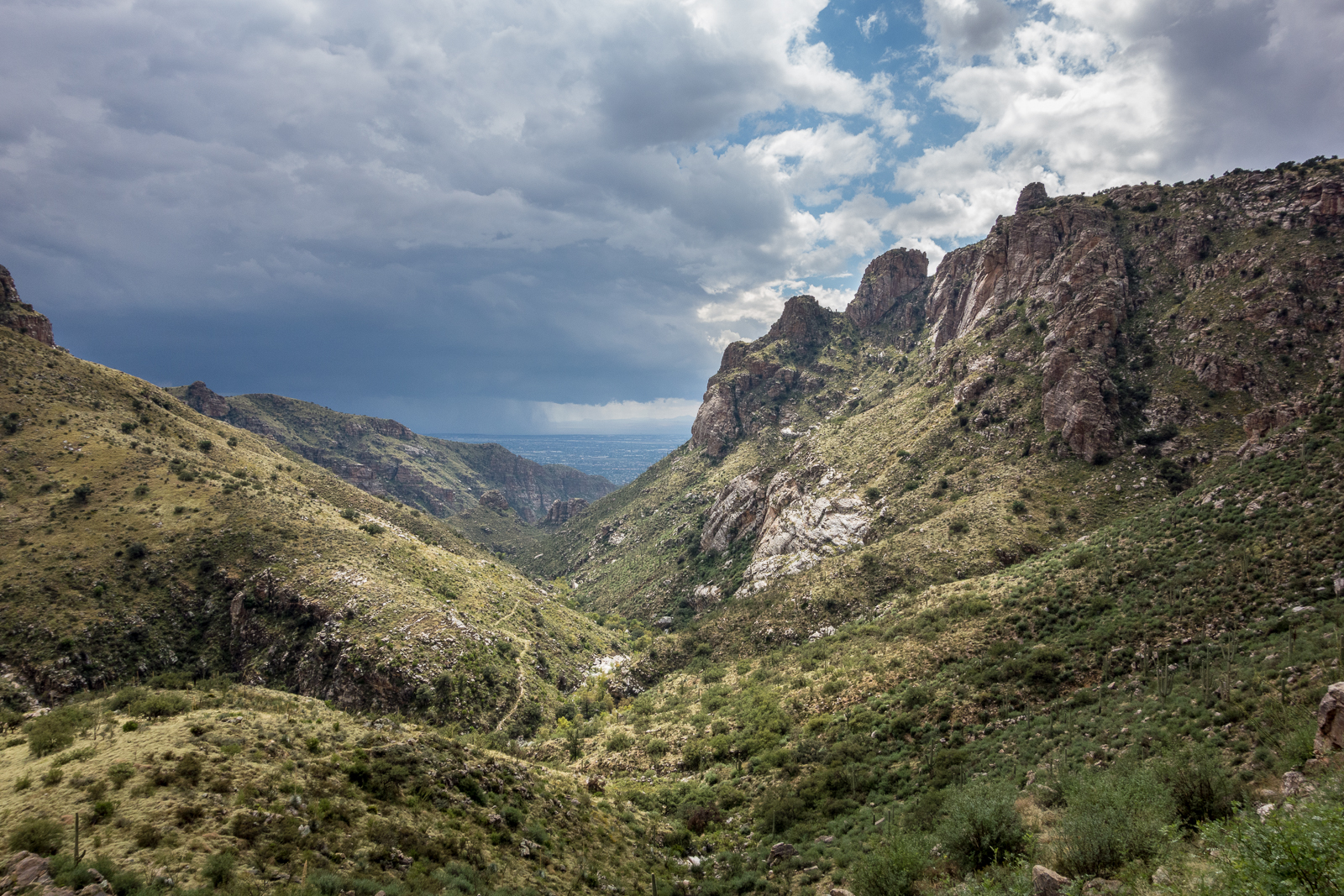
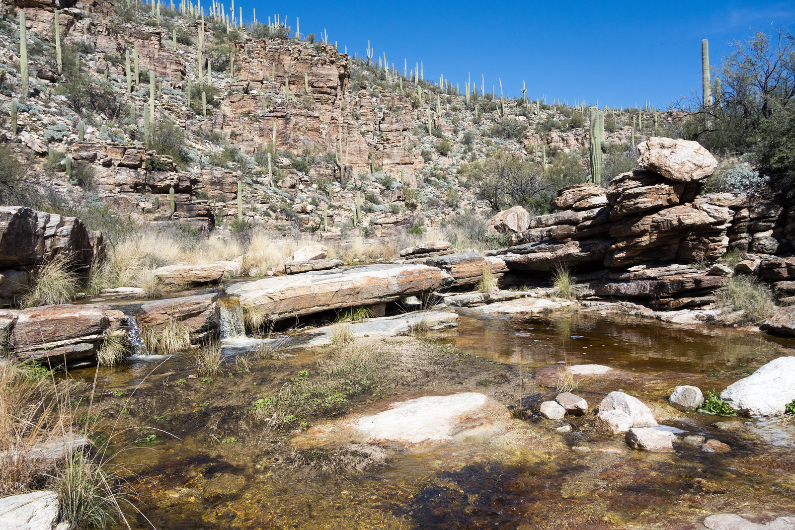
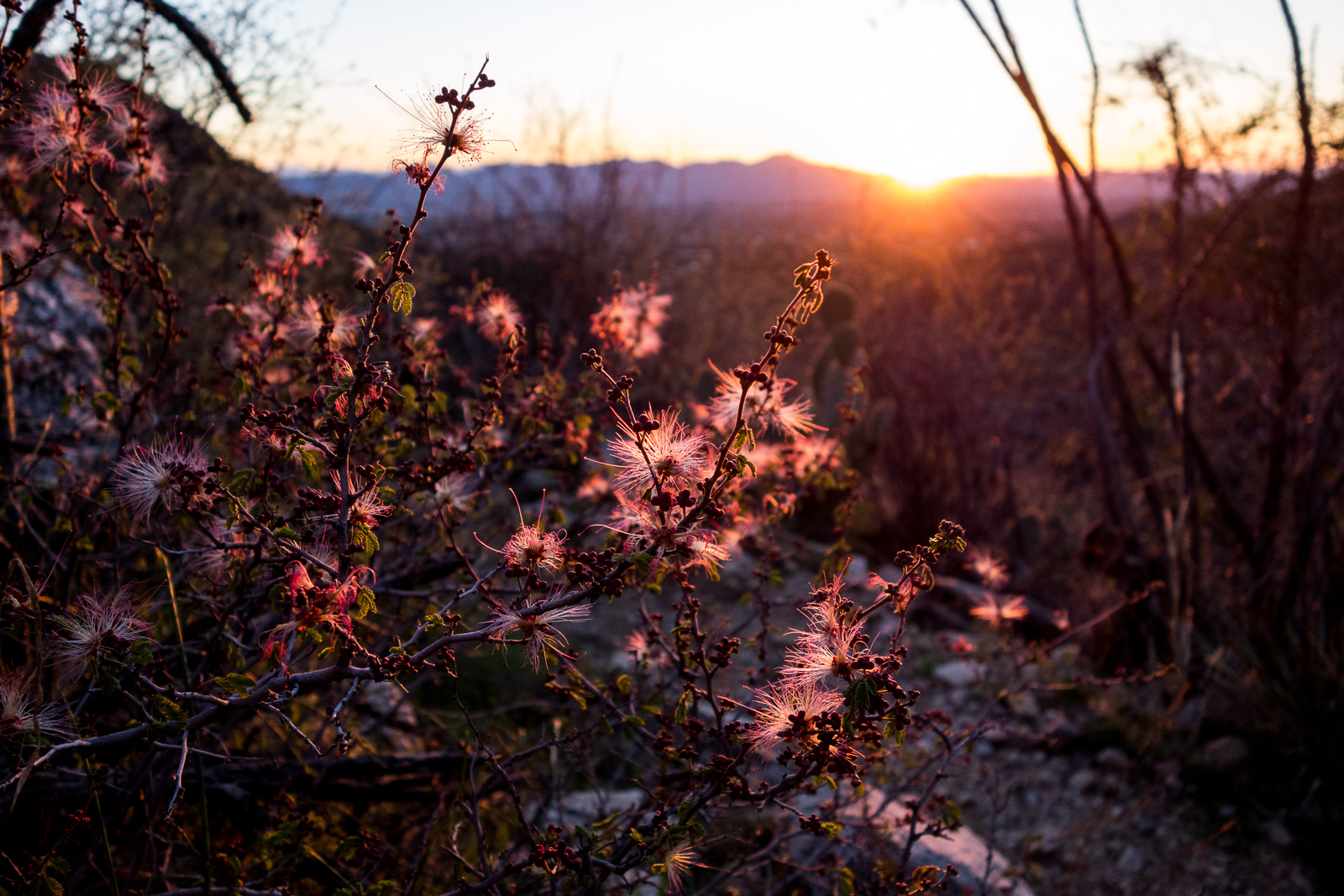
Wild flowers and water! Where to see Arizona wildflowers – , Snowmelt turns Sabino Creek into a fast-flowing spectacle – Arizona Daily Star, Wildflowers, greenery shout spring at Catalina Park – Arizona Daily Star

Rescues/Accidents/Incidents including information from the SARCI Newsletter:

  • 1/26/2017 Sutherland Trail: Hikers off-trail near the trailhead with small dogs were concerned about Javelina in the area, they were met and hiked out.
  • 1/27/2017 Bear Canyon Trail: A hiker waded upstream after loosing the trail at a crossing and twisted his ankle – helped to walk out.
  • 1/27/2017 Bluff Trail in Sabino Canyon: A fall results in a hip injury – the hiker was carried to a nearby maintenance road.
  • 2/2/2017 Phoneline Trail: After a fall the hiker is able to hike out with assistance.
  • 2/11/2017 Bear Canyon Trail: Ankle injury results in a carry out.
  • 2/12/2017 Romero Pools Trail: A hiker with an injured ankle at the Pools is hoisted out by the PCSD.
  • 2/20/2017 Bear Canyon: A hiker took the route to Thimble Peak and then started down a drainage towards Seven Falls and became stranded. The hiker was hoisted out by the PCSD.
Mount Lemmon above the clouds from Ironwood Forest National Monument. February 2017.

Bug Spring and Soldier Trail – 2/14/2016

Power poles along the Soldier Trail - at one time these provided power to the Prison Camp. February 2016.
Power poles along the Soldier Trail – at one time these provided power to the Prison Camp. February 2016.

We started at the Lower Green Mountain Trailhead in Bear Canyon – dirty snow was piled near the start of the Bug Spring Trail and there was occasional snow on/near the trail for the first few miles – but it disappeared too quickly, as we ran thru the Gordon Hirabayashi Recreation Site and on to the Soldier Trail the temperature seemed oppressively hot for February – we were grateful for the wind and occasional shade as we made our way down to the Soldier Trail Trailhead.

Grassy hillsides above Soldier Canyon on the Soldier Trail. February 2016.

Lower Green Mountain Trailhead to Soldier Trail Trailhead  (Bug Spring Trail, Molino Basin Trail and Soldier Trail) – 8.1 miles, + 740’/-3,200′ of elevation gain/loss.

Prison Camp to Sabino Canyon – 10/6/2015

A wall near the top of the Sycamore Reservoir dam. October 2015.
Looking across the Santa Catalina Mountains - from near Shreve Saddle, looking down on Sycamore Reservoir. October 2015.
Looking across the Santa Catalina Mountains – from near Shreve Saddle, looking down on Sycamore Reservoir. October 2015.
Looking back towards the Prison Camp area from the Bear Canyon Trail - fast moving clouds covering the mountains. October 2015.
Looking back towards the Prison Camp area from the Bear Canyon Trail – fast moving clouds covering the mountains. October 2015.
Looking down Bear Canyon - rain in Tucson and a break in the clouds above. October 2015.
Looking down Bear Canyon – rain in Tucson and a break in the clouds above. October 2015.

Waves of rain and hail were the highlights of the day – it was beautiful to see the mountain covered in clouds and wet with rain!

Prison Camp to Avenida de Suzenu – Molino Basin, Bellota and La Milagrosa Trails – 2/4/2015

1502 Headed down into Tucson
On the ridge between the La Milagrosa and Agua Caliente Canyons. February 2015.
1502 Crossing Milagrosa Canyon
Crossing La Milagrosa Canyon – we kept our feet dry here but they got wet in the crossing close to the road! February 2015.
1502 Gate Down on the Milagrosa Trail
The gate – recently fallen. February 2015.

10am at the Gordon Hirabayashi Recreation Site and there was no need for a jacket – February and it feels like spring!

We descended to the Avenida de Suzenu Trailhead via the Molino Basin Trail, Bellota Trail and La Milagrosa Trail – sun, blue sky and water in all the canyons. 10.6 miles, +1100’/-3100′ of elevation gain/loss.

Bigelow Trailhead to the Gordon Hirabayashi Recreation Site – 1/17/2015

We started at the Bigelow Trailhead, walked past the gate that closes Organization Ridge Road to public motorized traffic in the winter and continued on to the Palisade Trailhead. The road was icy and there was just enough snow at the trailhead to give a pleasant hint of winter, but not enough to require anything other than a little caution.

1501 Snow at the Palisade Trailhead
Palisade Trailhead with snow – Organization Ridge Road is closed seasonally to motorized vehicles so we parked at the Bigelow Trailhead and walked the road. January 2015.

We could hear Palisade Canyon flowing below – it looked like quite a bit of water from the trail – walked snowy sections of Palisade Trail where the shade preserved the remains of the last storm, paused for birds and enjoyed the polished stone in Pine Canyon before reaching Mud Spring.

1501 Cairn and brown ferns near Mud Spring
A cairn marking the Mud Spring Tank is surrounded by dead ferns. January 2015.

The waterfall in Pine Canyon was roaring away – quite a sight – and we paused just before the trail begins to plunge downwards to enjoy the view – Thimble Peak to Brinkley Point!

1501 A View from the Palisade Trail
A impressive view of the mountains – from near the Palisade Trail looking into Tucson – landmarks include Thimble Peak (near the left), Cathedral Rock and Brinkley Point (on the right). January 2015.

Down to the junction with the East Fork Trail and then up – past the Bear Canyon Trail and onto the Bear Canyon Trail, across Sycamore Canyon, past Sycamore Reservoir where Sycamore Canyon and Bear Canyon were pouring an impressive amount of water over the dam, up to Shreve Saddle and then down the Molino Basin Trail to the car we had left at the Gordon Hirabayashi Recreation Site earlier in the day.

1501 Water rushing over the Sycamore Reservoir Dam
Water from Sycamore Canyon and Bear Canyon rush over the Sycamore Reservoir Dam. January 2015.

Descending the Palisade Trail is a great way to see everything from pine forest to cactus and take in quite a few impressive views. Currently miles 4-6 of the Palisade Trail are distinctly more overgrown and less used than the upper sections of the trail – with some attention and effort you should be able to find the trail, but be prepared to use your map and navigate if needed.

12.8 miles, +1,400’/-4,350′ of elevation gain/loss.