Nails and debris in the large old water tank near the highway. September 2016.
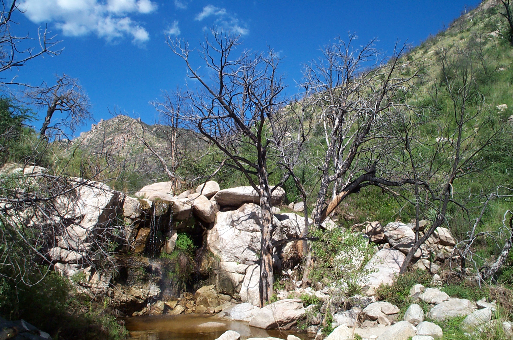
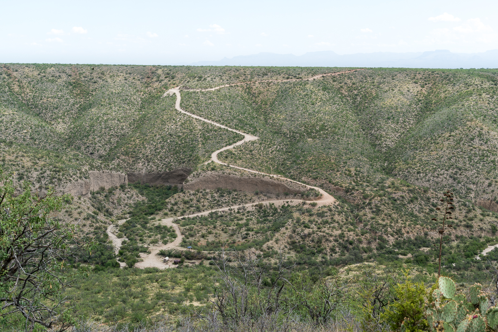
Up canyon from the entrance to the Gordon Hirabayashi Recreation Site the Bug Spring Route follows, roughly, the path of old pipes that lead up to Bug Spring – at one time these pipes were part of the infrastructure that provided water for the Prison Camp – the original source of labor for the highway up the mountain.
Following the old route is not really the point I think – the line on the map is a good excuse, but there are better ‘trails’ on the mountain – better to just think of this as a good excuse to explore a rather interesting area – the canyon usually has at least some water, it is interesting to think about the history of the area and the Bug Spring area is a nice spot for a break…
A small rainbow! September 2016.The falls – 10 years and 1 month earlier – the area around the falls has grown up since 2006 and there is more green under the falls – but very similar! August 2006.The Bug Spring Route as shown on the USGS Agua Caliente Hill 7.5′ Topo – January 2017.Old Bug Spring water works hiding in the shadows. September 2016.
Headless Windmill in Geesaman Wash at ‘Deep Well’. August 2016.
As a result of the mining and ranching history on the east side of the Santa Catalina Mountains there are a seemingly infinite number of dirt roads criss-crossing the landscape. One of these roads splits off from the Black Hills Mine road and works along the ridge between the Geesaman and Stratton Washes. Below the road, in Geesaman Wash, at a site labeled ‘Deep Well’ a headless windmill stands near a large, impressively full, water tank – the solar panels that replaced the windmill sit below the old tower.
Finley Geesaman, 1830-1917, staked a number of claims in the Old Hat Mining district and this wash and a mine group higher on the mountain bear his name. A short obituary appeared in the Arizona Daily Star on December 18, 1917:
Finley Geesaman.
Up to 9 o’clock last night, pioneers of Tucson visited the Reilly Undertaking parolrs [sic] to take a last look at the long familiar features of Finley Gessaman [sic], who died Saturday night at a local hospital after a brief illness, at the age of 87. The remains will be shipped this morning to his boyhood home, Quincy, Ill., to rest beside the graves of his father and mother. Mr. Gessaman is survived by a number of nephews and nieces, beneficiaries under his will of an estate estimated at about $60,000. His holdings include a number of claims in the Catalina mountains. Once the owner of the old Condon mines, he sold them to the Copper Queen Consolidated Mining company.
There are two photos of F. Geesaman in the Geesaman Family Newsletter #11 (Volume III, July, 1977, No. 3) – a portrait and a photo of Geesaman in the door of a cabin in the Santa Catalina Mountains. These photos accompany a letter written by Geo. P. Myers to Miss Amanda F. Geesaman of Rouzerville, Pa. after Geesaman’s death.
A horseshoe in the Deep Well area of Geesaman Wash. August 2016.A flower surviving in the middle of Black Hills Mine Road. August 2016.Marked on the map as ‘Drill Hole’ this small site sits on the slope of Alder Canyon below Black Hills Mine Road. August 2016.
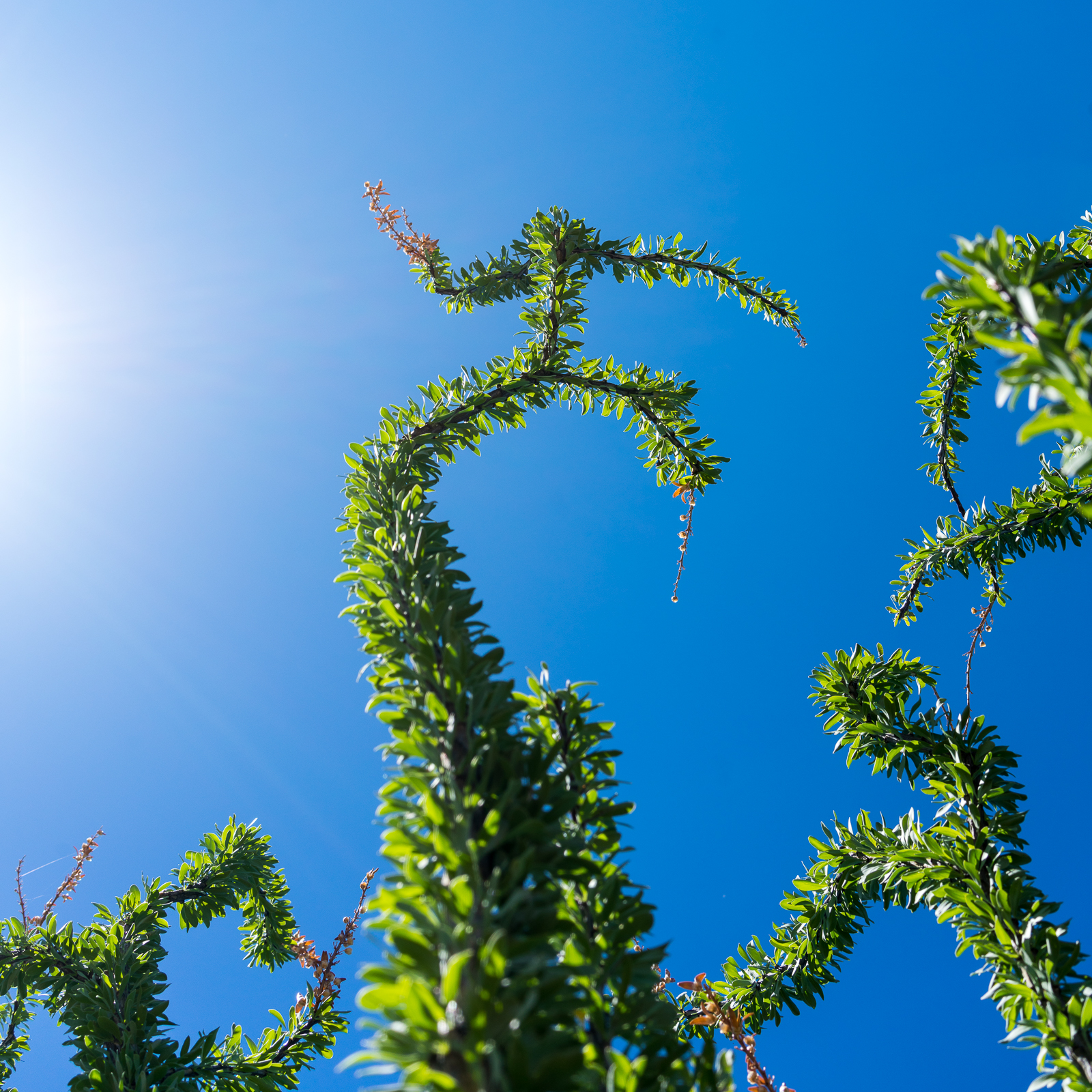
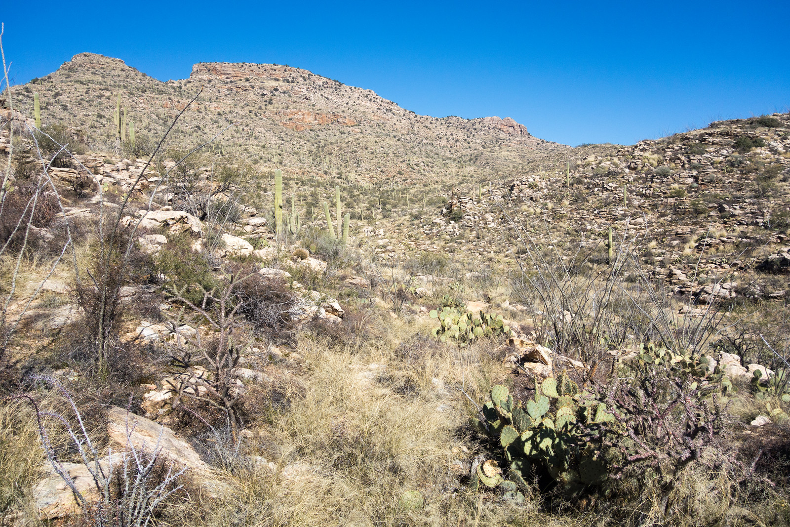
Ocotillo under blue skies and a blazing sun on the way out to Pink Tank. July 2016.
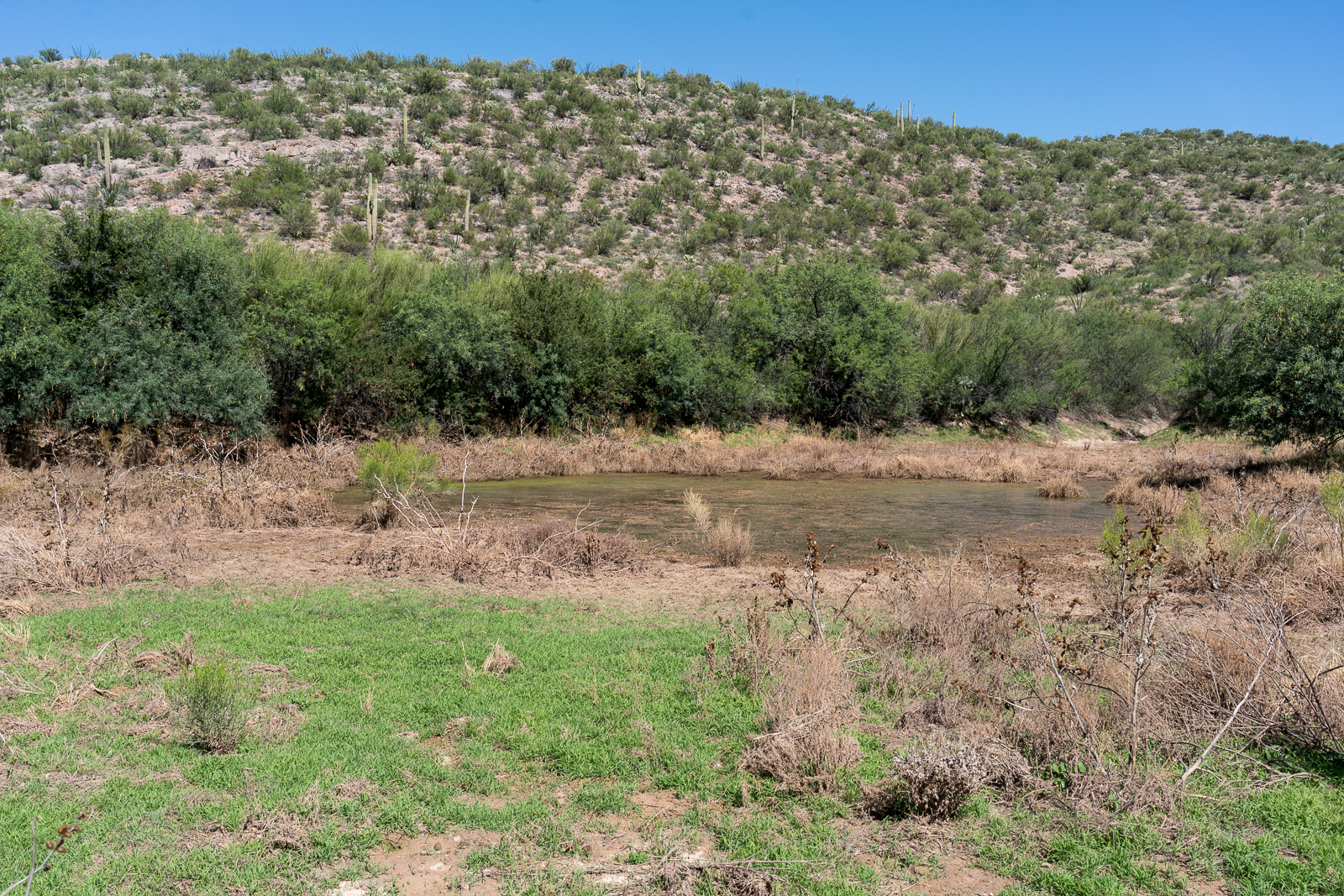
Pink Tank is one of the seemingly infinite number of named tanks scattered across Southern Arizona – I am not sure why so many have names, perhaps because the water they – sometimes – hold is so important? Or maybe just because the effort to build a tank in, essentially, the middle of nowhere takes enough effort that someone wanted it remembered?
Pink Tank on the east side of the Santa Catalina Mountains – near FR4407 out to the Brush Corral Trailhead. July 2016.
An old road splits from FR4407 and leads out to a flat area above the tank – there is an obvious fire ring, but it doesn’t look frequently used. Pink Tank is holding more water than I expected and the green grass is a slight surprise – as is the generous amount of deep soft mud around the tank and under the grass. It is the middle of a hot day so I don’t stay long before making the short hike back.
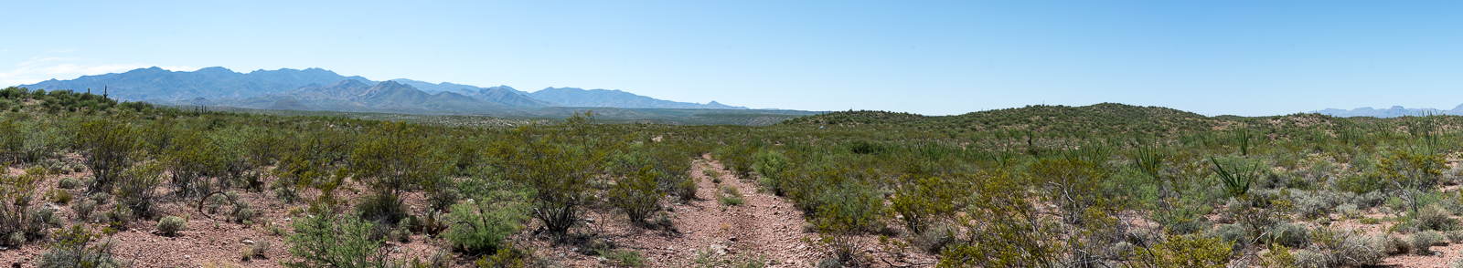
Seemingly endless creosote with the Santa Catalina Mountains in the distance, walking back to FR 4407 from Pink Tank. July 2016.
I assume these tanks will be a visible part of the landscape for many many years – I wonder if there is a future where water concerns and ranches are distant memories and someone will try to match the locations of tanks to patterns – constellations, Arizona cities, position of solar and lunar events – assuming there must a greater purpose – something more than a more water and more cattle – behind the decision to spend time and effort creating endless tanks across the desert.
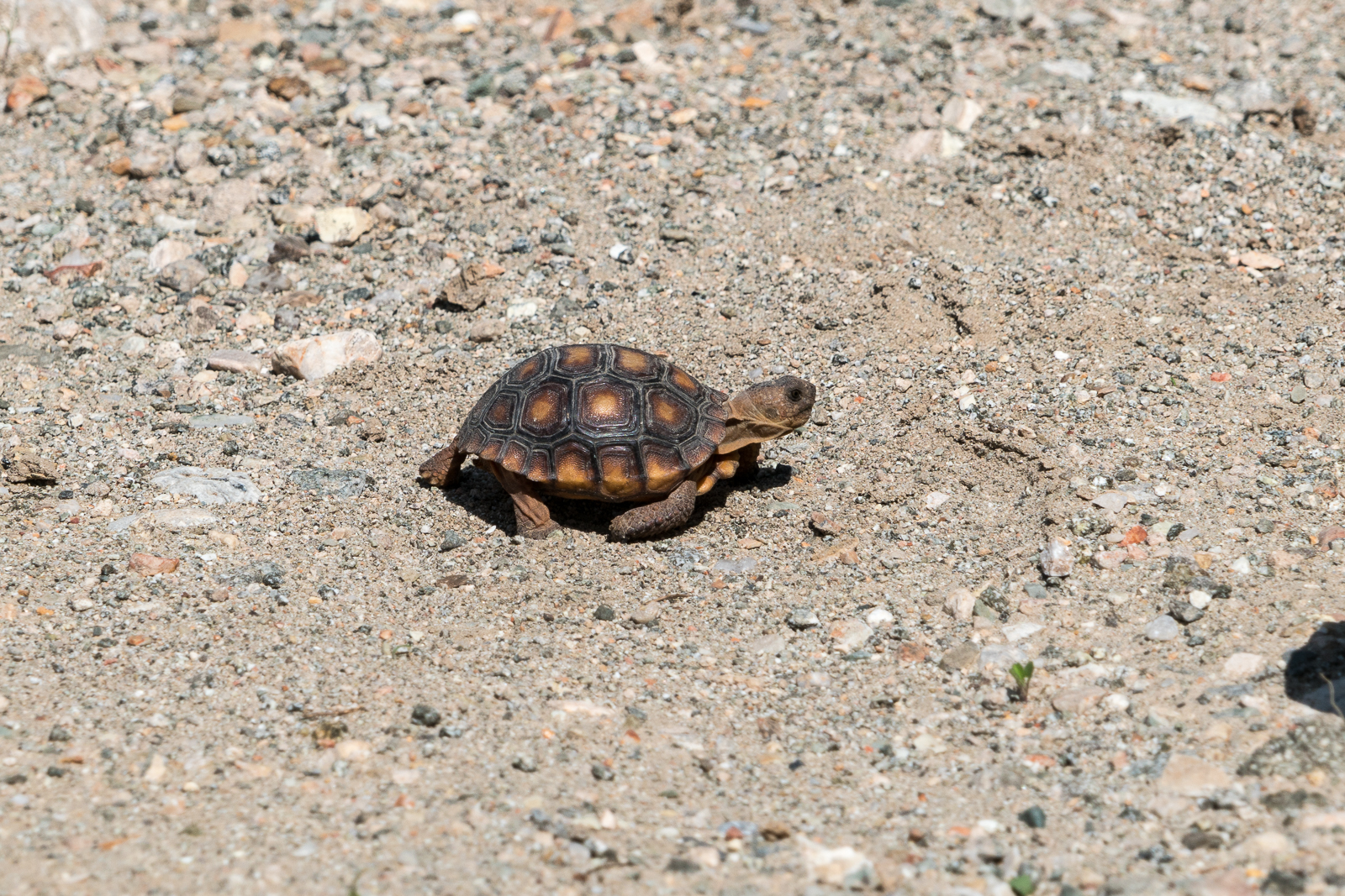
A baby Desert Tortoise speeding across a road above Alder Canyon. July 2016.
From Black Hills Mine Road, near Ventana Tank, a side road leaves to the south and takes you down to the bottom of Alder Canyon to the Ventana Windmill.
The remains of the Ventana Windmill in the bottom of Alder Canyon – now replaced by a solar powered pump. July 2016.
The Ventana Windmill is still where the map marks it – but now it lays in the canyon bottom watched over by the solar panels that replaced it – the solar pump is working well judging by the overflowing tank attracting swarms of insects.
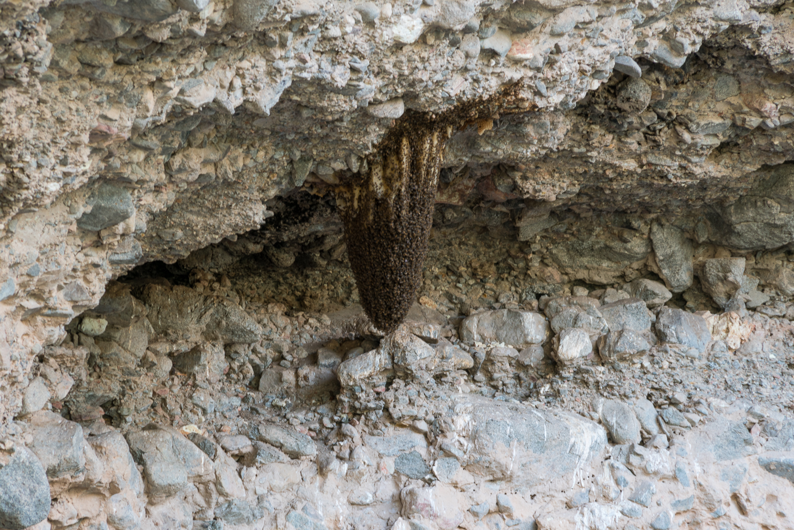
Bees near Alder Canyon. July 2016.
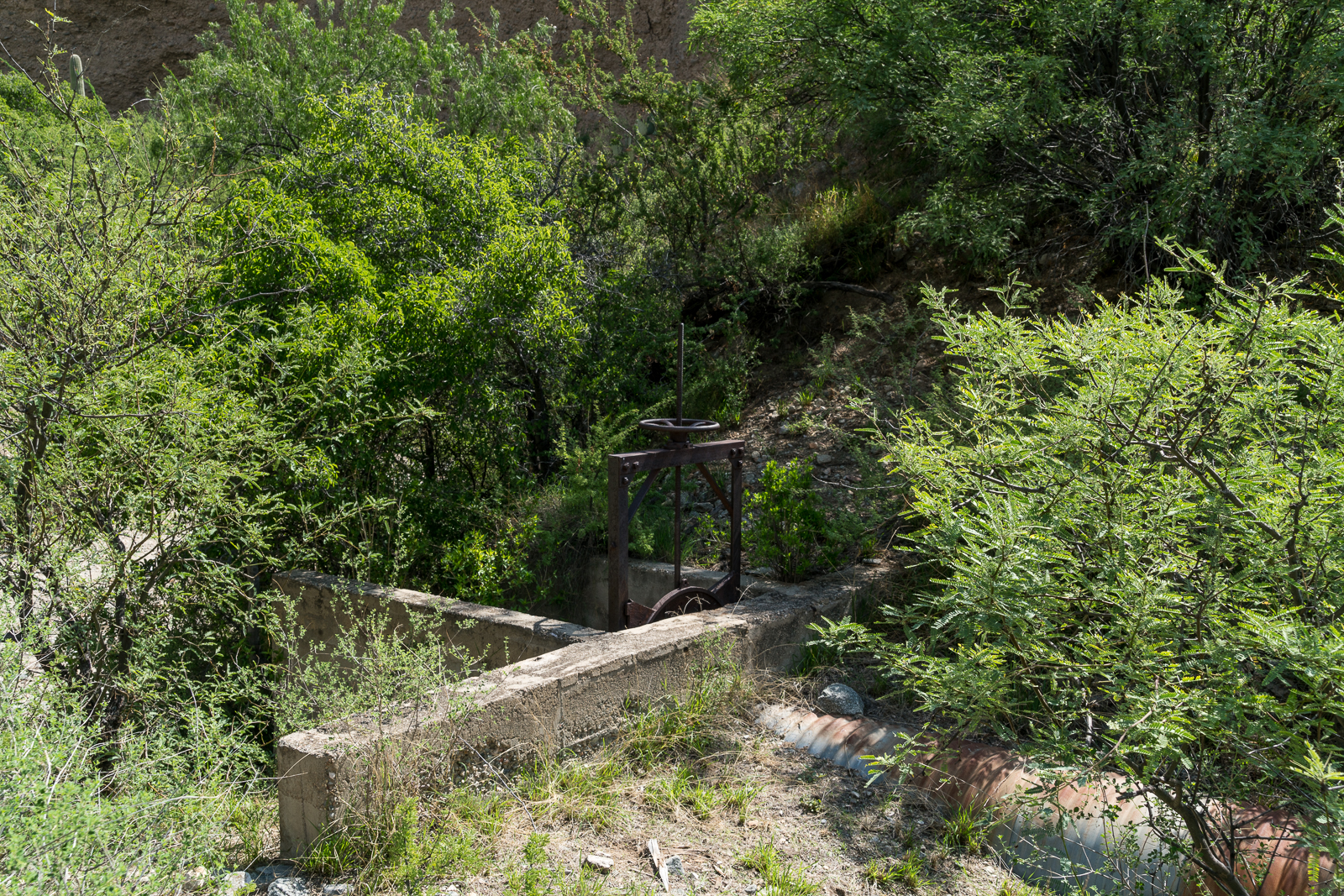
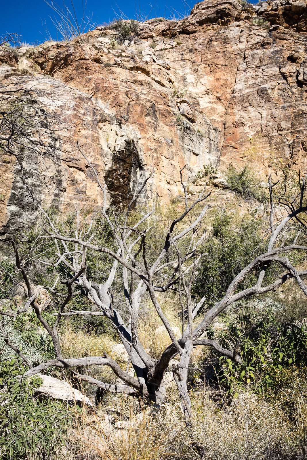
Up a side canyon bees hang from the canyon wall – I feel lucky to see them, and lucky to have seen them before I was closer. Still in the side canyon an open sluice gate seems to suggest there was more water here at some point – but it is so dry, and hot, that it is hard to imagine. The old structure makes me think about a piece of the canyon’s history – from GOLD PLACERS AND PLACERING IN ARIZONA by Eldred D. Wilson:
ALDER CANYON PLACERS
Placer gold occurs in Alder Canyon, on the northern slope of the Santa Catalina Mountains, from near the National Forest boundary to within a few miles from the San Pedro River. These placers have been known and intermittently worked in a small way for many years. The gold-bearing gravels are reported to occur as dissected bars or benches along the stream and to some extent on the spurs between tributary gulches. The gold is coarse, flat, and ragged.
During 1932-33, a maximum of fifteen or twenty men carried on rocking, sluicing, and dry-washing operations in this field. Most of them were transients who remained only a short while and won but little gold. J. W. Lawson, postmaster at Oracle, purchased approximately $45 worth, near 936 in fineness, during the year. The Alder Canyon placers were credited with a placer gold output of $704 during 1934-40.
An open sluice gate, no water in sight… An old structure near the Ventana Windmill in a small side canyon. July 2016.
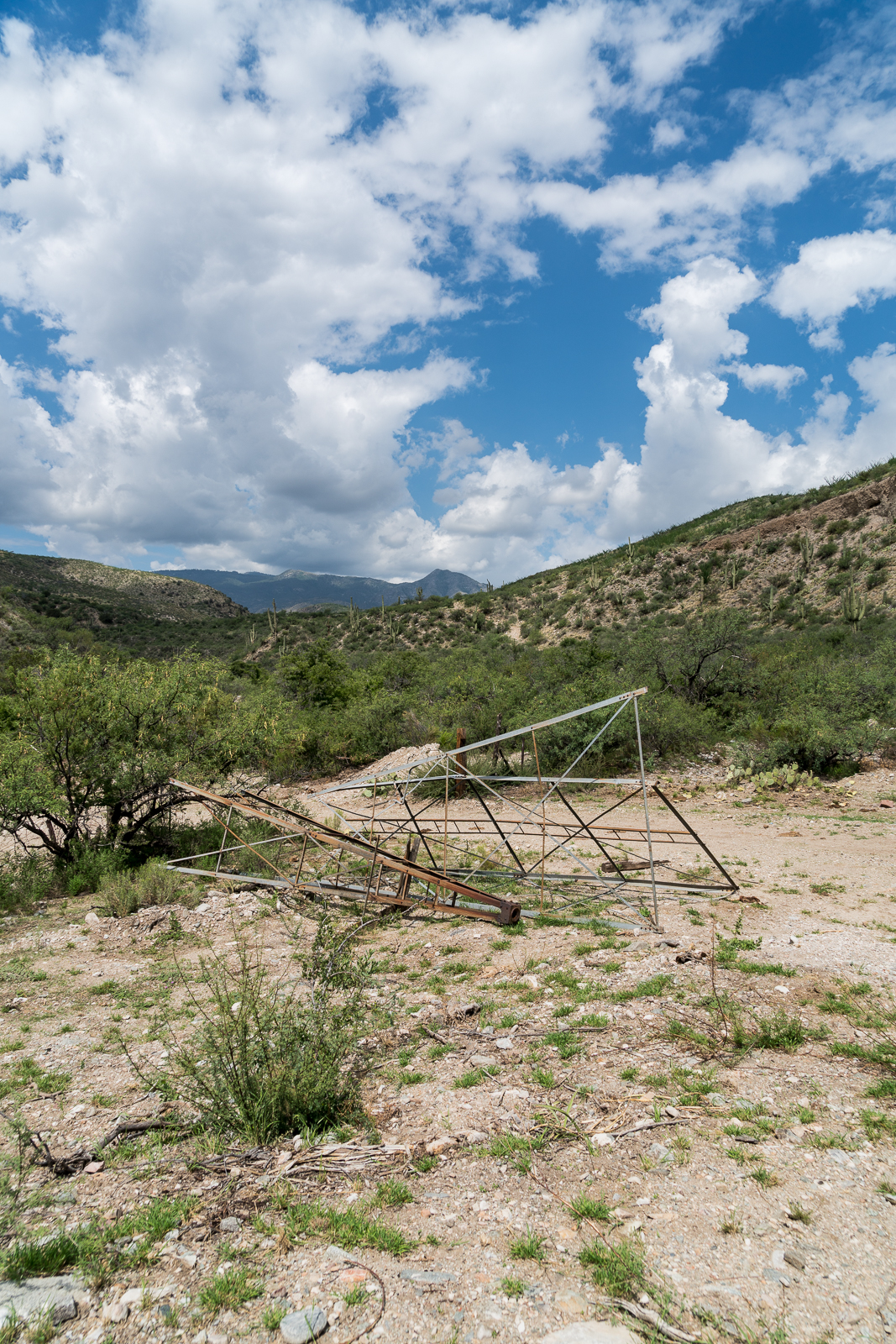
From the windmill a rough road heads up Alder canyon and another climbs steeply up the other side of the canyon and continues thru a gate out onto Davis Mesa.
Looking back from Davis Mesa at the road from the Black Hills Mine Road down into Alder Canyon and the Ventana Windmill site. July 2016.
After visiting the La Milagrosa Trail several times over the past few months and consulting maps of the area I began to wonder why I had never noticed passing the junction with Forest Road 4446 where it turns towards Whitetail Tank, it seems so clear on the map…
The La Milagrosa Trail in red - Horsehead Road (where the hike starts) on the left - Forest Road 4446 to Whitetail Tank (marked 4WD) breaks from the La Milagrosa Trail near La Milagrosa Canyon
Standing on the Milagrosa Trail looking at (what may be) a faint old grass covered 4wd road I tell myself that on the other side of the canyon FR4446 will be obvious – that it is simply well disguised near the La Milagrosa Trail so that hikers and bikers won’t accidentally turn onto it. Unfortunately on the other side of the canyon I actually find even fewer hints of the old road… I watch the GPS and try to follow the line on the map – sometimes directly and sometimes criss-crossing it’s path – occasionally finding it, but mostly just looking for it – thankfully the terrain is open enough that it doesn’t really matter that the desert seems to have completely reclaimed stretches of the road.
The now obscure track of Forest Road 4446 is in the center of the picture – this was one of the few places where I felt 99.9% sure that I was actually on the road! January 2015.Looking back to Whitetail Tank from the hillside of the drainage to the northeast. January 2015.
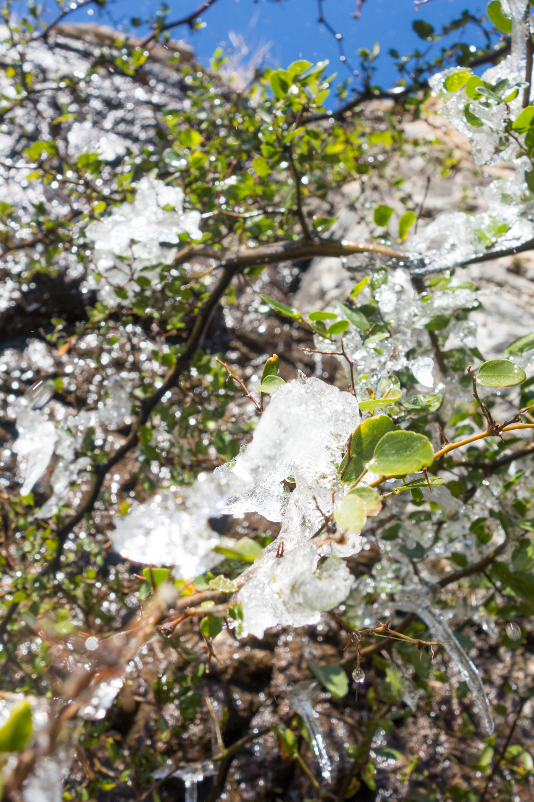
The tank is larger than I expected, dry and covered with short brown grass. Standing in the tank a small cliff catches my eye – a few minutes of walking in the small drainage above the tank and I reach a lovely drip, black and wet, with clumps of ice on the tree below.
A small cliff in the drainage above the tank – a small flow of water darkens some of the rock. January 2015.I was surprised to find Ice on a tree at the base of the cliff! January 2015.
From the base of the cliff I worked up to the ridge above and then down into the canyon below, eventually looping back to the La Milagrosa Trail via a wandering off-trail route.
Looking down La Milagrosa Canyon. January 2015.
Whitetail Tank from the Avenida de Suzenu Trailhead – one-way – is approximately 2.8 miles with 1,100′ of elevation gain – maps show FR4446 as a 4WD road but don’t expect to find much of the road and certainly don’t count on it for navigation, take a map and plan on using it – this is essentially an off-trail hike.