Across Davis Mesa, Into Edgar Canyon – 11/26/2016

November 2016.
From a 1904 map of the Tucson area – the current Davis Spring Trailhead is near the center of the map above ‘Davis Spring’. Note the trail across Davis Mesa from Alder Canyon… November 2016.

The Davis Spring Trailhead is a gateway into an interesting part of the mountain – but, in addition to the mandatory hour+ drive, the primary access is a long, slow, high-clearance drive from Redington Road – far too few hikers see this area.

North of Edgar Canyon, across Davis Mesa, Black Hills Mine Road runs along the north ridge of Alder Canyon – notably easier to drive than the the Davis Spring Trailhead access road.

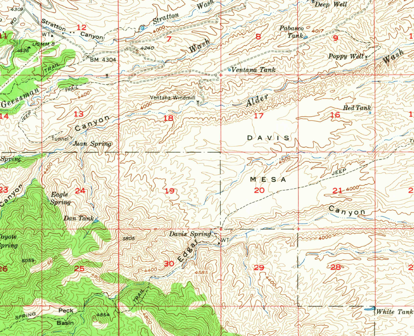
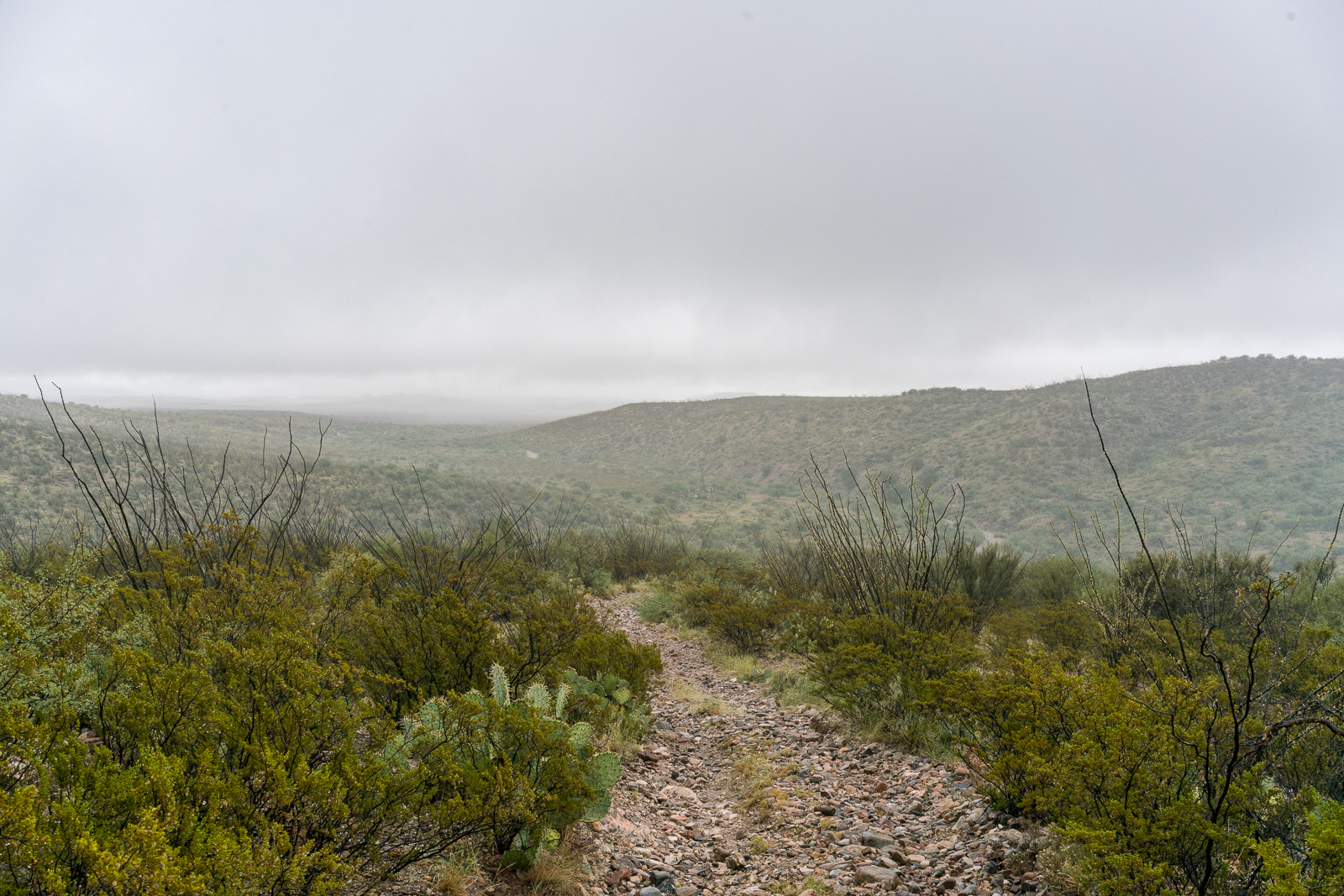
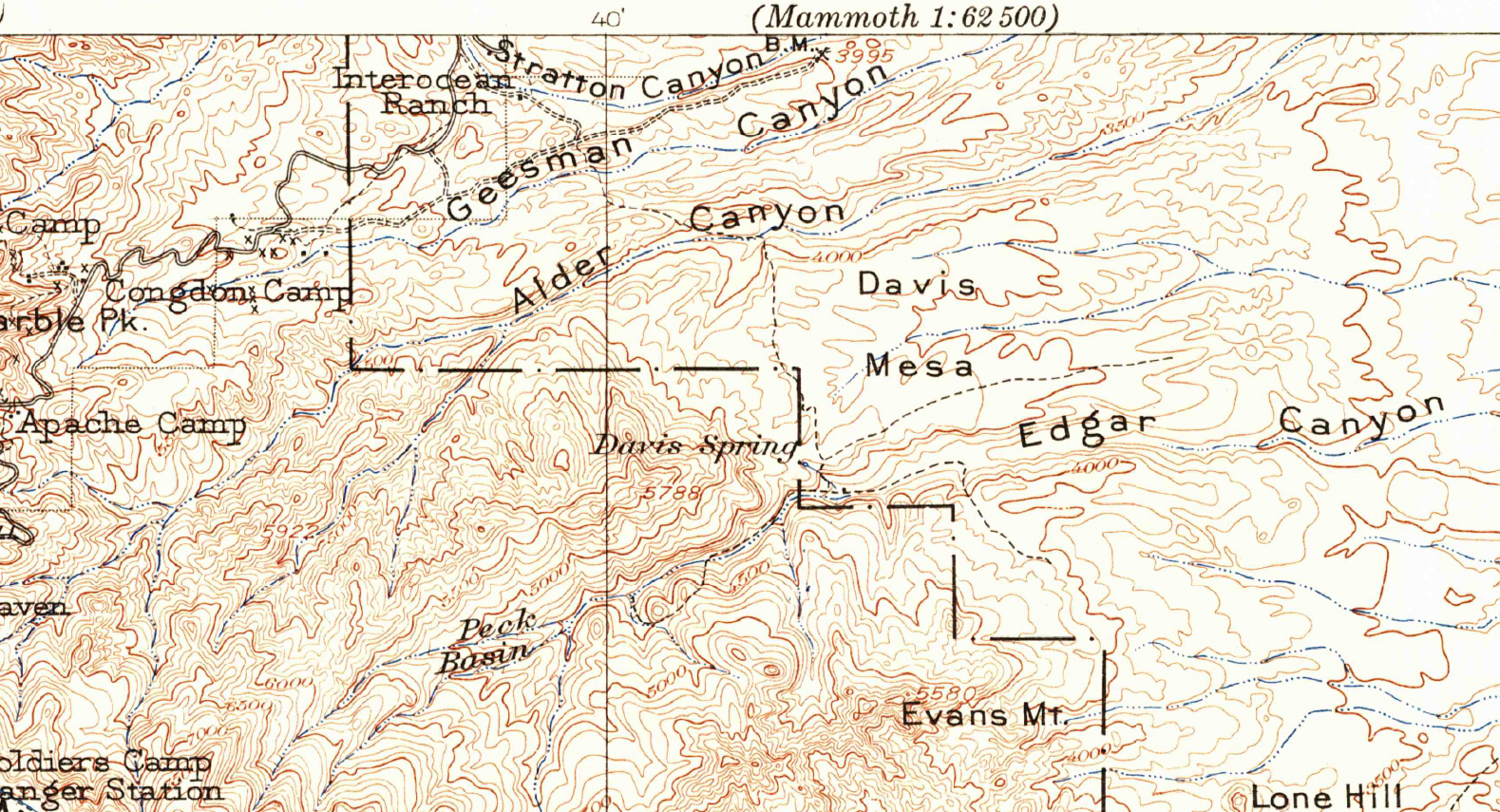
Encouraged by a trail shown on the 1904 USGS Tucson Quadrangle, I wondered if it might be faster to access the Davis Spring Trailhead by parking above Ventana Windmill off Black Hills mine road and hiking across Davis Mesa. I plotted a route across Davis Mesa that, in my living room, seemed like the route would be primarily fast-to-walk easy-to-find double track.

November 2016.
November 2016.

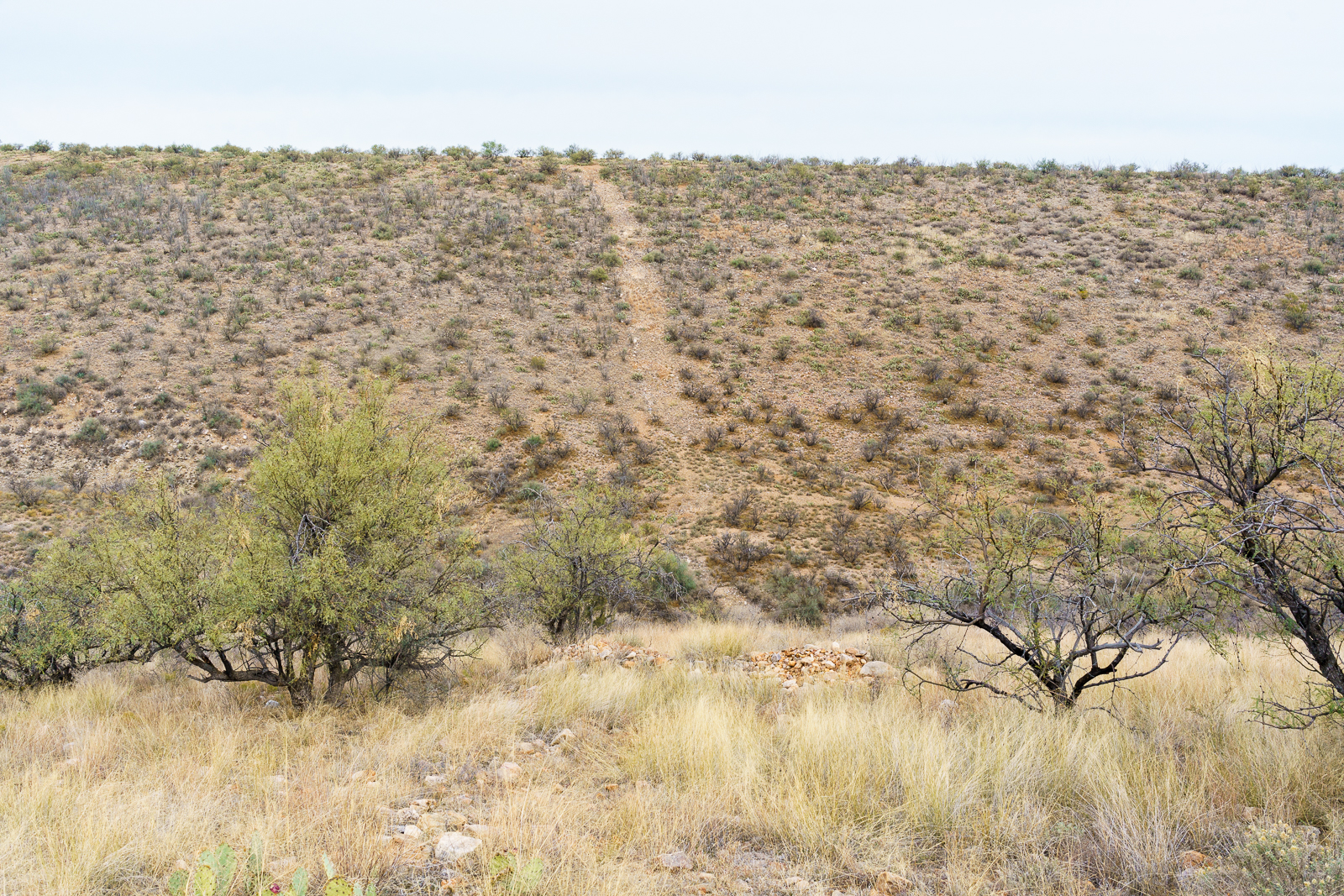
On the south side of Alder Canyon it was clear that the double track, so clear on the aerial views of the area, was not going to be quite as expected – we found hints of it but… I was glad to be hiking with Geoffrey from Trailvoyant – great company and an experienced set of eyes to look for the faint track!

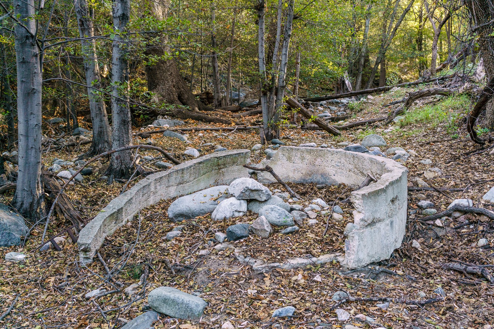
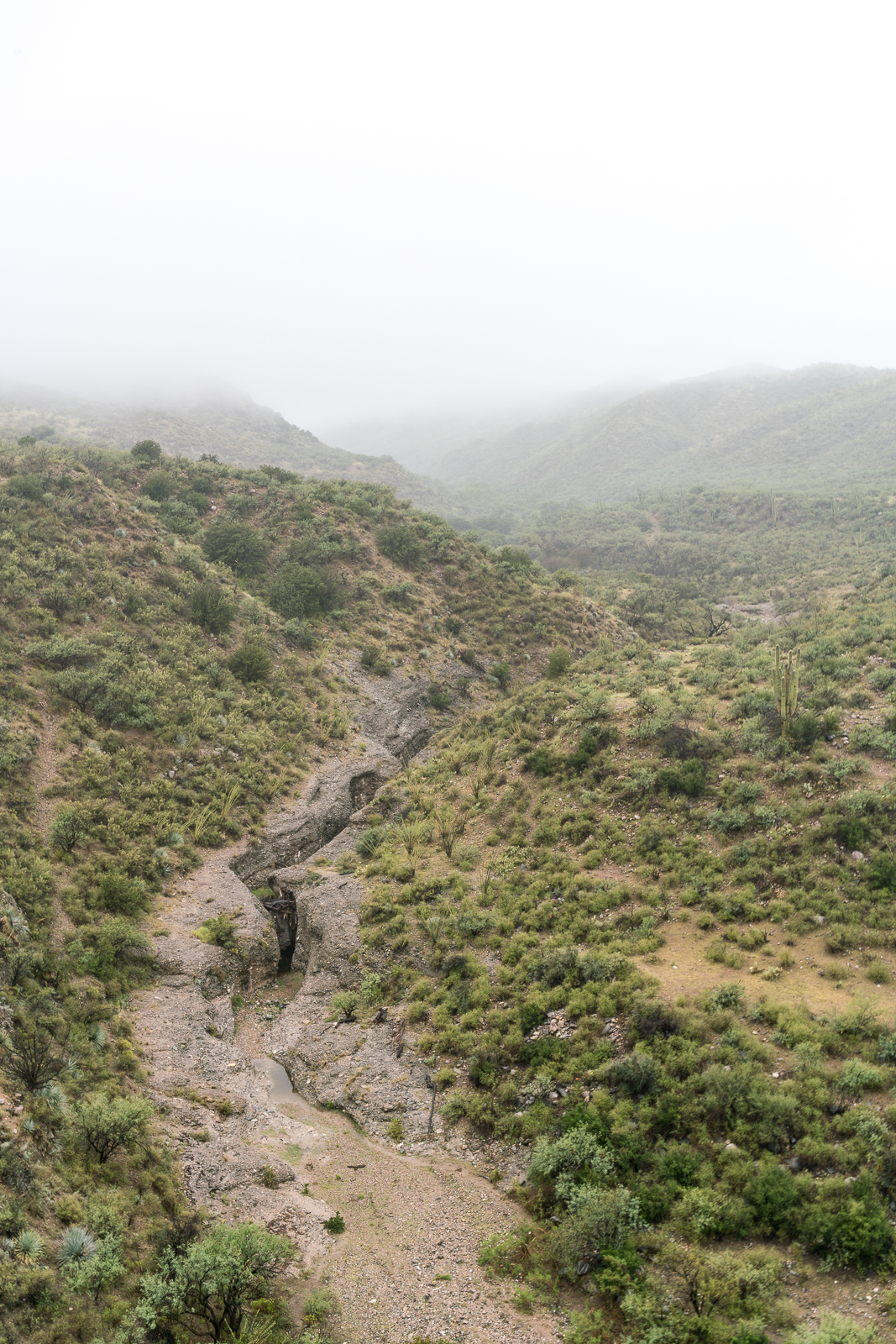
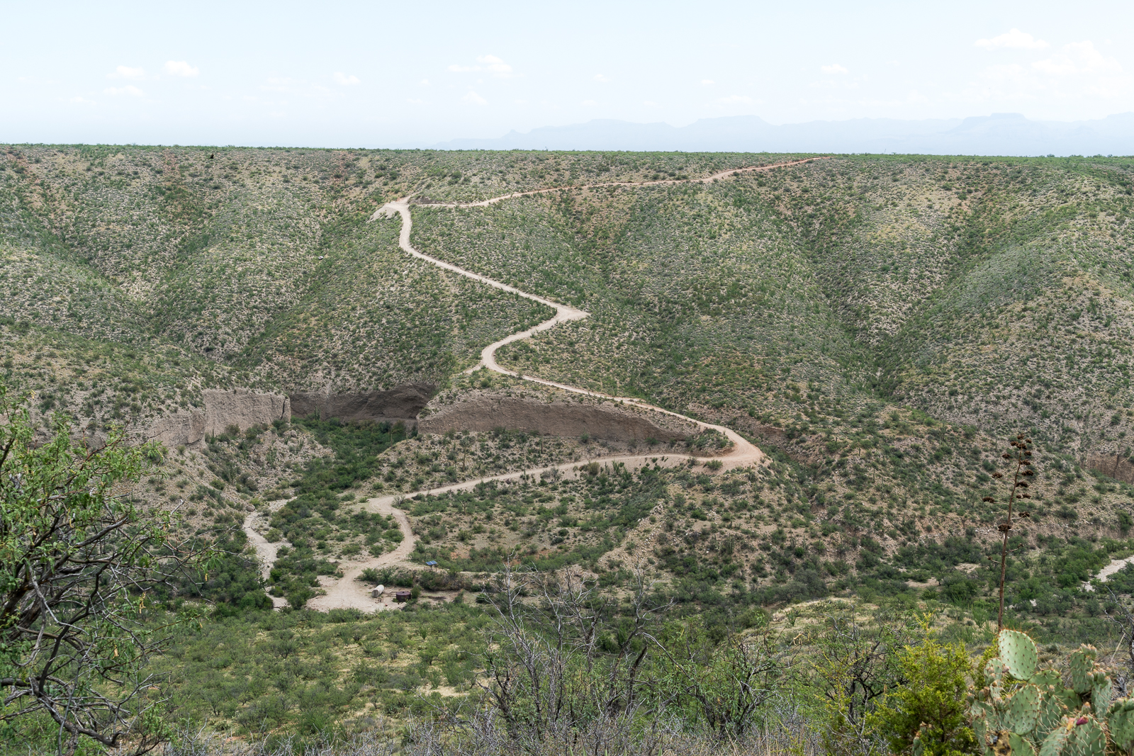
Near the wash splitting Davis Mesa the double track became more distinct, but even then its rocky decent didn’t actually speed us up – on the other side an old road eventually appeared and curved towards the trailhead.

November 2016.
In April of this year this area was covered by a pool of water that was several feet. November 2016.

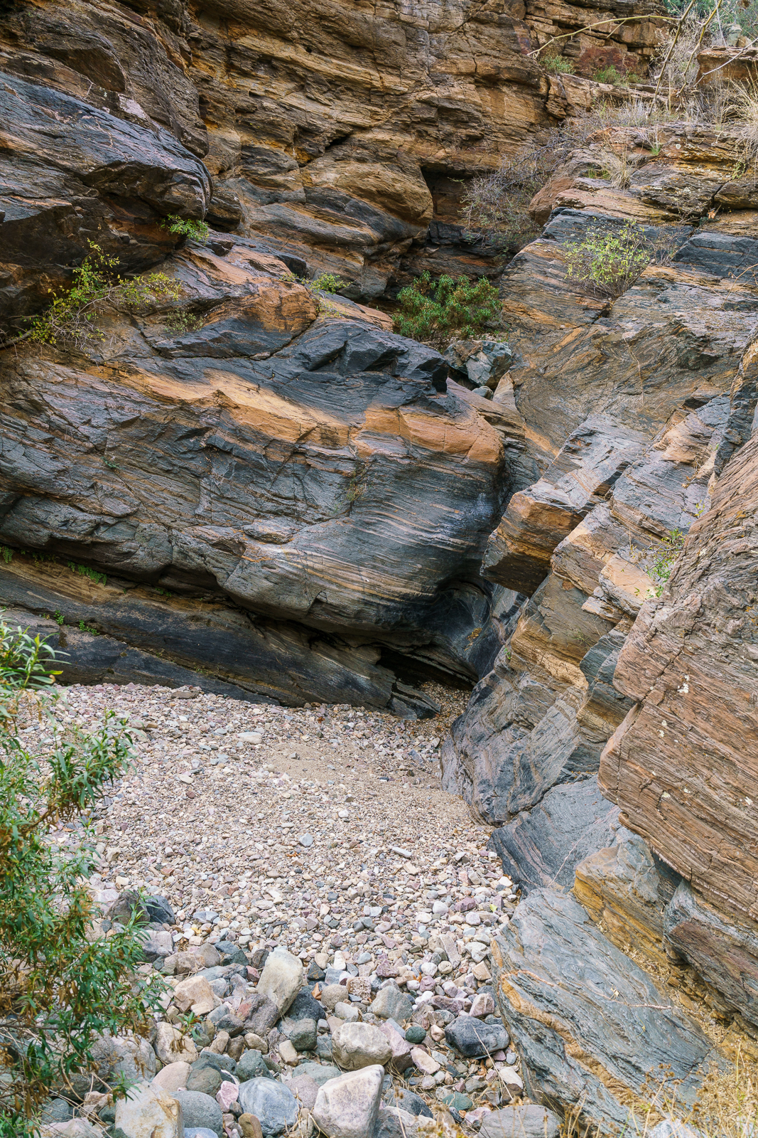
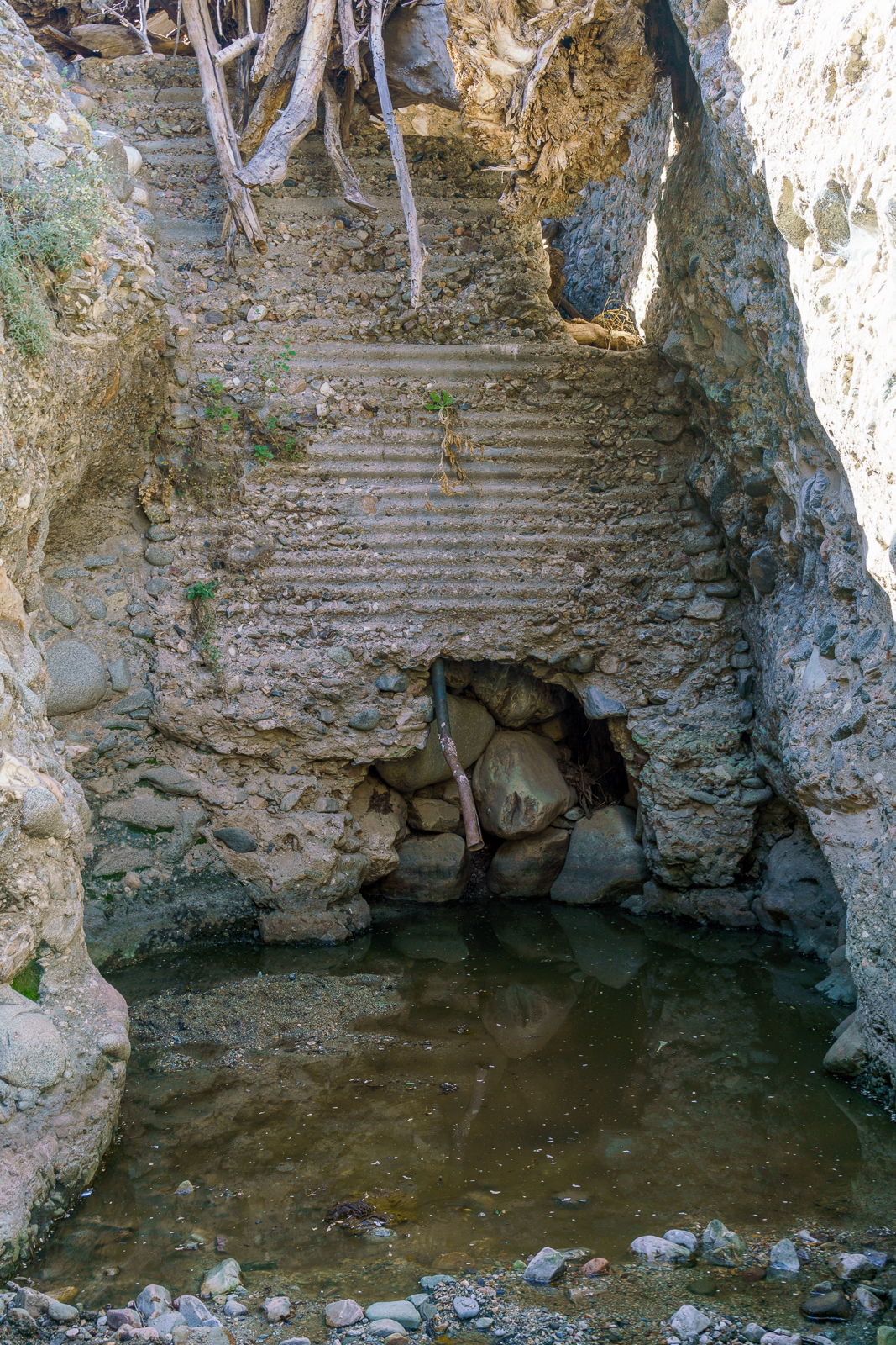
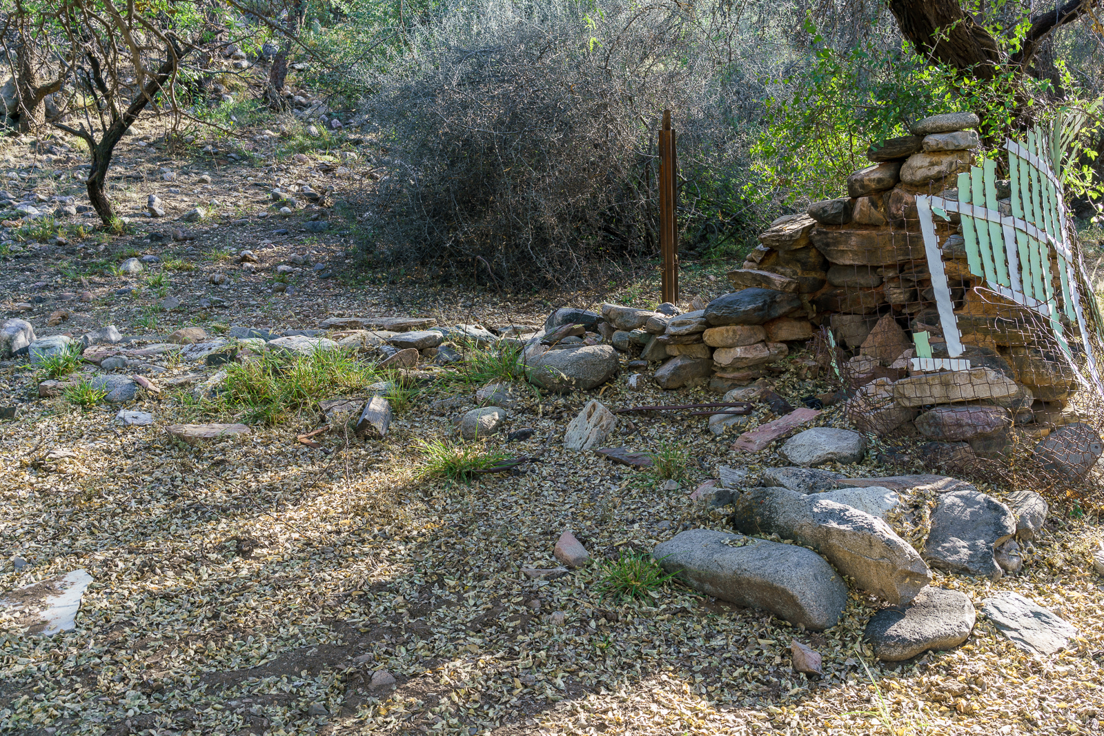
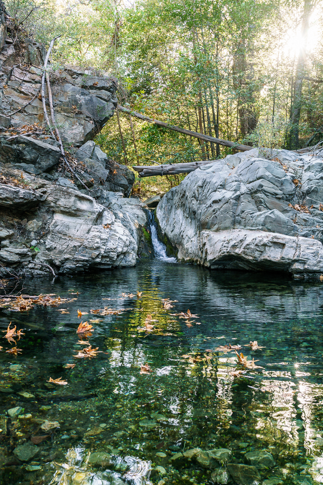
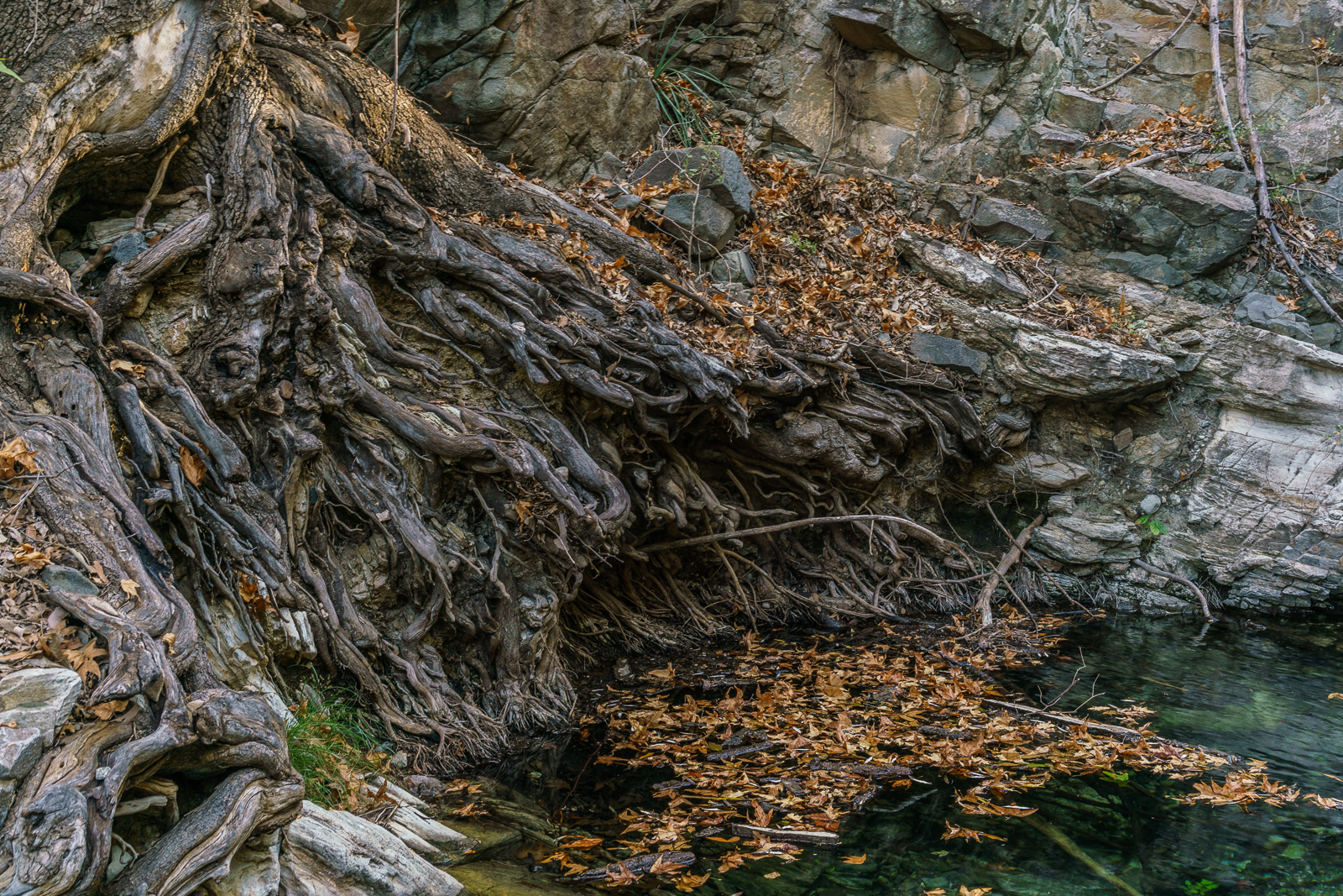
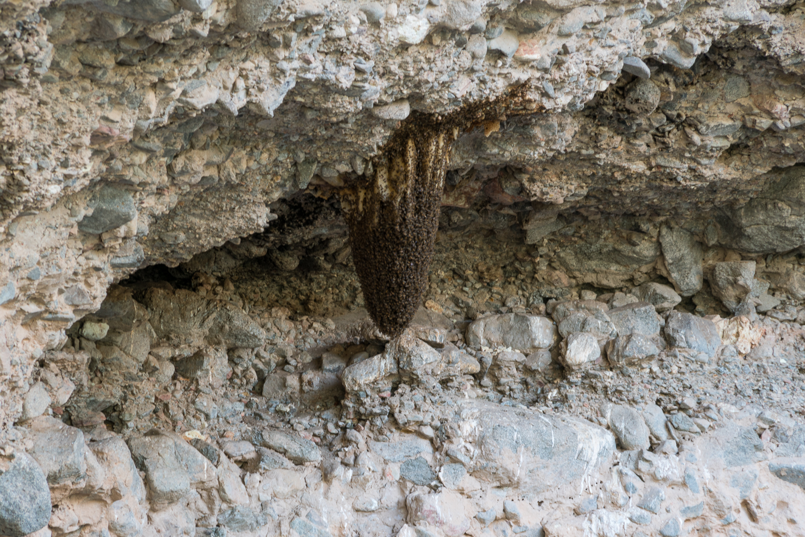
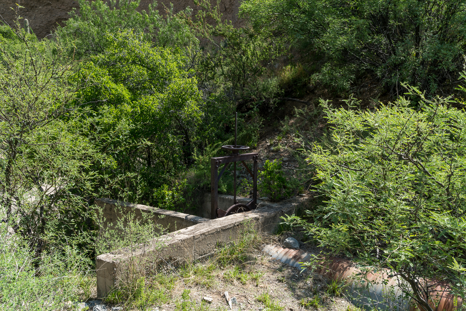
Clear water flowed from Davis Spring and water is still making its way down to the corral above Edgar Canyon. At the corral we drop into the bottom of the canyon – there is less water than there was in April, and very little flow – mostly just isolated pools.

November 2016.
Geoffrey from Trailvoyant enjoying the Fall colors in Edgar Canyon – the Davis Spring Trail bypasses this section of Edgar Canyon on the hillside above. November 2016.

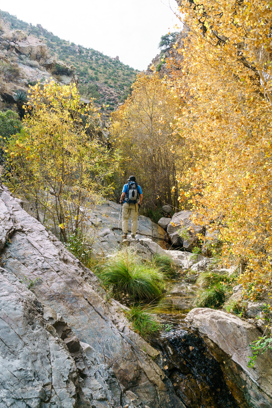
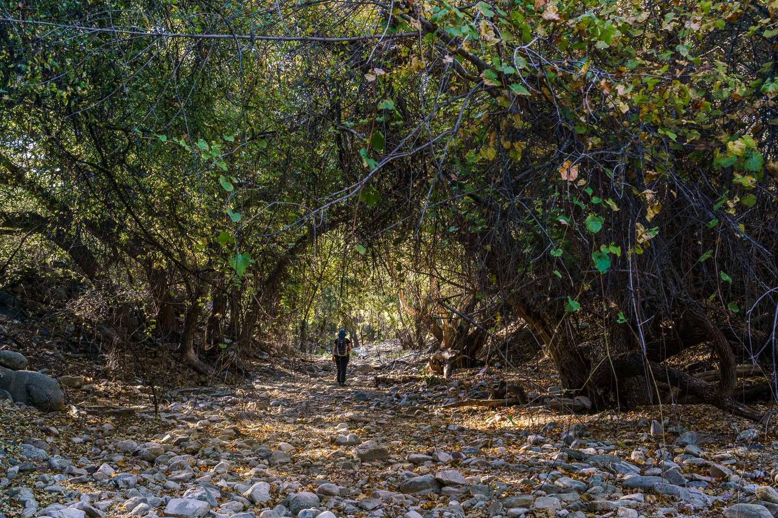
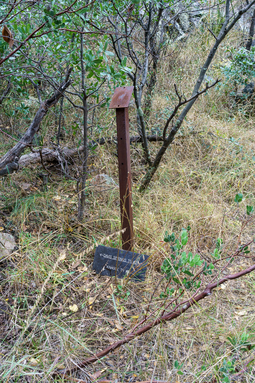
The bottom of the canyon is filled with fall colors – we leave the trail behind as it climbs the canyon side and continue up canyon to the Davis Spring and Knagge Trail junction – our turn around point for the day –  on the way back we find, lose, and then find the Davis Spring Trail before crossing back over Davis Mesa and Alder Canyon as the light fades.

November 2016.
Davis Spring Trail and Knagge Trail Junction Sign. November 2016.

On the 1957 Bellota 15′ Map the trail across Davis Mesa is no longer present and our path across Davis Mesa doesn’t seem worth repeating or recommending – a fun adventure and a great day out, but not the alternate Davis Spring Trailhead access I had hoped for!

November 2016.
November 2016.

Alder Canyon from Ventana Windmill to Juan Spring – 10/20/2016

The 4th edition of the The Santa Catalina Mountains, A Guide to the Trails and Routes added a description of the Alder Canyon Trail (p. 93) with two starting points, Juan Spring and Big Alder Spring – but the lower sections of the canyon are not mentioned. The starting points may might put you in more remote sections of the canyon more quickly – but the section from the Ventana Windmill to Juan Spring is worth noting…

Dam in Alder Canyon above Ventana Windmill.  October 2016.
Dam in Alder Canyon above Ventana Windmill. October 2016.

We park off of Black Hills Mine Road, hike down to Ventana Windmill and start hiking up the canyon. In just a few minutes walls of conglomerate close in and an old dam appears – the smell from the pool of water under than dam encourages us to backtrack and walk the cliffs above the narrows.

Above the narrows the canyon is beautiful – sometimes more open, sometimes covered by trees – in a particularly lovely spot we find the remains of what might have been a hearth and a small structure. Farther up canyon surface water surprises us – and we are surprised again by clear pools of water. Near Juan Spring we exit the canyon, eventually finding and following the old trail up and loop back to the truck via the road.

An old fireplace and fence near Alder Canyon. October 2016.
Inside Alder Canyon. October 2016.
Pool in Alder Canyon. October 2016.
Roots in Alder Canyon. October 2016.
Water trough in Alder Canyon near Juan Spring. October 2016.

A few notes:

  • On the map a trail is drawn along the canyon from Ventana Windmill to Juan Spring – we spent spent the majority of the hike in the bottom of the canyon, while we didn’t try hard to find the trail I suspect that it is best considered a ‘route’ at this point…
  • This area is probably used more frequently by hunters than by hikers (AZGF Hunting Seasons, Season Dates, Rules and Regulations – Unit 33) – especially without a commonly used trail in the area it is probably advisable to wear bright colors especially during deer season. (Note that the heaviest users of this area is certainly the cows…)
  • This hike is on Arizona State Trust Land – a permit is required.
Map - Alder Canyon - Ventana Windmill to Juan Spring. October 2016.
Map – Alder Canyon – Ventana Windmill to Juan Spring. October 2016.

A Rainy Day on Davis Mesa – 9/7/2016

A stormy day on Davis Mesa. September 2016.

Unusual weather makes Davis Mesa seem remote and lonely – just me and the cows today. Too many clouds to see much of the San Pedro Valley to the east or the Santa Catalina Mountains to the west. The east side of the Santa Catalina Mountains – where the hills and canyons tumble into the San Pedro River – is often a good escape if you have time for the drive and a vehicle that will handle the, often rough, dirt roads. In 2011 Nathan Sayre noted in A History of Land Use and Natural Resources in the Middle San Pedro Valley, Arizona that “The current population [of the Middle San Pedro Valley], estimated at 175 year-round residents, is less than was found in the area in the early twentieth century, and probably less than occurred during some prehistoric periods.” (Journal of the Southwest, Volume 53, Number 1, Spring 2011)


The road across the Mesa descends towards Mesa Well and off into the clouds. September 2016.

Davis Mesa sits between Alder and Edgar Canyons. The land is part of the Six Bar Ranch – purchased by Pima County  in 2006. Cattle still graze here, as they probably have, at least periodically, for over a century. In a Pima County Conservation Report the section on the Six Bar Ranch notes that “This ranch is more remote and has limited access points so it does not get as much use as many of the other ranch properties” – certainly accurate, but considering the best case drive from Tucson probably a bit of an understatement…

Looking up Alder Canyon after parking off Black Hills Mine Road and hiking across the canyon. September 2016.

The all-things-considered quickest access from Tucson that I am aware of is to drive thru Oracle, turn south onto Veterans Memorial Boulevard, pass San Manuel, continue on Black Hills Mine Road and eventually find a parking spot above the Ventana Windmill (probably 1.5 to 2 hours from Speedway and Campbell in Tucson) – from there it is a reasonable hike access across Alder Canyon up onto Davis Mesa…

Ventana Windmill, Alder Canyon – 7/7/2016

A baby Desert Tortoise speeding across a road above Alder Canyon. July 2016.

From Black Hills Mine Road, near Ventana Tank, a side road leaves to the south and takes you down to the bottom of Alder Canyon to the Ventana Windmill.

The remains of the Ventana Windmill in the bottom of Alder Canyon - now replaced by a solar powered pump. July 2016.
The remains of the Ventana Windmill in the bottom of Alder Canyon – now replaced by a solar powered pump. July 2016.

The Ventana Windmill is still where the map marks it – but now it lays in the canyon bottom watched over by the solar panels that replaced it – the solar pump is working well judging by the overflowing tank attracting swarms of insects.

Bees near Alder Canyon. July 2016.

Up a side canyon bees hang from the canyon wall – I feel lucky to see them, and lucky to have seen them before I was closer. Still in the side canyon an open sluice gate seems to suggest there was more water here at some point – but it is so dry, and hot, that it is hard to imagine. The old structure makes me think about a piece of the canyon’s history – from GOLD PLACERS AND PLACERING IN ARIZONA by Eldred D. Wilson:

ALDER CANYON PLACERS

Placer gold occurs in Alder Canyon, on the northern slope of the Santa Catalina Mountains, from near the National Forest boundary to within a few miles from the San Pedro River. These placers have been known and intermittently worked in a small way for many years. The gold-bearing gravels are reported to occur as dissected bars or benches along the stream and to some extent on the spurs between tributary gulches. The gold is coarse, flat, and ragged.

During 1932-33, a maximum of fifteen or twenty men carried on rocking, sluicing, and dry-washing operations in this field. Most of them were transients who remained only a short while and won but little gold. J. W. Lawson, postmaster at Oracle, purchased approximately $45 worth, near 936 in fineness, during the year. The Alder Canyon placers were credited with a placer gold output of $704 during 1934-40.

Water works near the Ventana Windmill in a small side canyon. July 2016.
An open sluice gate, no water in sight… An old structure near the Ventana Windmill in a small side canyon. July 2016.

From the windmill a rough road heads up Alder canyon and another climbs steeply up the other side of the canyon and continues thru a gate out onto Davis Mesa.

The road off the Black Hills Mine Road down into the bottom of Alder Canyon and to the Ventana Windmill - the tank and solar panels that power the pump that replaced the windmill are visible in the bottom of the canyon. July 2016.
Looking back from Davis Mesa at the road from the Black Hills Mine Road down into Alder Canyon and the Ventana Windmill site. July 2016.