Headless Windmill in Geesaman Wash – 8/5/2016

Headless Windmill in Geesaman Wash at 'Deep Well'. August 2016.
Headless Windmill in Geesaman Wash at ‘Deep Well’. August 2016.

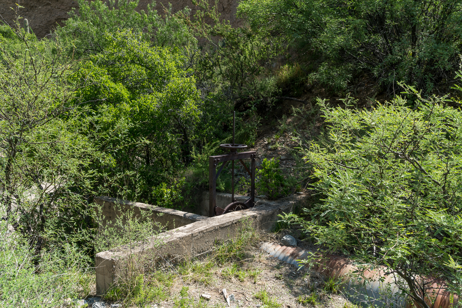
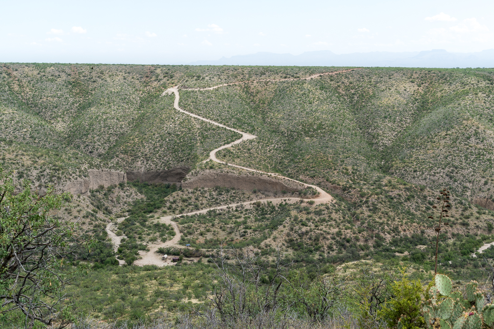
As a result of the mining and ranching history on the east side of the Santa Catalina Mountains there are a seemingly infinite number of dirt roads criss-crossing the landscape. One of these roads splits off from the Black Hills Mine road and works along the ridge between the Geesaman and Stratton Washes. Below the road, in Geesaman Wash, at a site labeled ‘Deep Well’ a headless windmill stands near a large, impressively full, water tank – the solar panels that replaced the windmill sit below the old tower.

Finley Geesaman, 1830-1917, staked a number of claims in the Old Hat Mining district and this wash and a mine group higher on the mountain bear his name. A short obituary appeared in the Arizona Daily Star on December 18, 1917:

Finley Geesaman.

Up to 9 o’clock last night, pioneers of Tucson visited the Reilly Undertaking parolrs [sic] to take a last look at the long familiar features of Finley Gessaman [sic], who died Saturday night at a local hospital after a brief illness, at the age of 87. The remains will be shipped this morning to his boyhood home, Quincy, Ill., to rest beside the graves of his father and mother. Mr. Gessaman is survived by a number of nephews and nieces, beneficiaries under his will of an estate estimated at about $60,000. His holdings include a number of claims in the Catalina mountains. Once the owner of the old Condon mines, he sold them to the Copper Queen Consolidated Mining company.

There are two photos of F. Geesaman in the Geesaman Family Newsletter #11 (Volume III, July, 1977, No. 3) – a portrait and a photo of Geesaman in the door of a cabin in the Santa Catalina Mountains. These photos accompany a letter written by Geo. P. Myers to Miss Amanda F. Geesaman of Rouzerville, Pa. after Geesaman’s death.

A horseshoe in the Deep Well area of Geesaman Wash. August 2016.
A flower surviving in the middle of Black Hills Mine Road. August 2016.
Marked on the map as 'Drill Hole' this small site sits on the slope of Alder Canyon below Black Hills Mine Road. August 2016.
Marked on the map as ‘Drill Hole’ this small site sits on the slope of Alder Canyon below Black Hills Mine Road. August 2016.

Ventana Windmill, Alder Canyon – 7/7/2016

A baby Desert Tortoise speeding across a road above Alder Canyon. July 2016.

From Black Hills Mine Road, near Ventana Tank, a side road leaves to the south and takes you down to the bottom of Alder Canyon to the Ventana Windmill.

The remains of the Ventana Windmill in the bottom of Alder Canyon - now replaced by a solar powered pump. July 2016.
The remains of the Ventana Windmill in the bottom of Alder Canyon – now replaced by a solar powered pump. July 2016.

The Ventana Windmill is still where the map marks it – but now it lays in the canyon bottom watched over by the solar panels that replaced it – the solar pump is working well judging by the overflowing tank attracting swarms of insects.

Bees near Alder Canyon. July 2016.

Up a side canyon bees hang from the canyon wall – I feel lucky to see them, and lucky to have seen them before I was closer. Still in the side canyon an open sluice gate seems to suggest there was more water here at some point – but it is so dry, and hot, that it is hard to imagine. The old structure makes me think about a piece of the canyon’s history – from GOLD PLACERS AND PLACERING IN ARIZONA by Eldred D. Wilson:

ALDER CANYON PLACERS

Placer gold occurs in Alder Canyon, on the northern slope of the Santa Catalina Mountains, from near the National Forest boundary to within a few miles from the San Pedro River. These placers have been known and intermittently worked in a small way for many years. The gold-bearing gravels are reported to occur as dissected bars or benches along the stream and to some extent on the spurs between tributary gulches. The gold is coarse, flat, and ragged.

During 1932-33, a maximum of fifteen or twenty men carried on rocking, sluicing, and dry-washing operations in this field. Most of them were transients who remained only a short while and won but little gold. J. W. Lawson, postmaster at Oracle, purchased approximately $45 worth, near 936 in fineness, during the year. The Alder Canyon placers were credited with a placer gold output of $704 during 1934-40.

Water works near the Ventana Windmill in a small side canyon. July 2016.
An open sluice gate, no water in sight… An old structure near the Ventana Windmill in a small side canyon. July 2016.

From the windmill a rough road heads up Alder canyon and another climbs steeply up the other side of the canyon and continues thru a gate out onto Davis Mesa.

The road off the Black Hills Mine Road down into the bottom of Alder Canyon and to the Ventana Windmill - the tank and solar panels that power the pump that replaced the windmill are visible in the bottom of the canyon. July 2016.
Looking back from Davis Mesa at the road from the Black Hills Mine Road down into Alder Canyon and the Ventana Windmill site. July 2016.

Bighorn Death, Gate Closures, Flowers, Sunset, Fire, Sun

Game and Fish: Another bighorn sheep killed by mountain lion – Jackie Kent – Tucson News Now: A ewe released this November has been killed by a Mountain Lion.

The Bighorn Sheep Restoration Project Status update for 11/13 to 12/3 is now available (all updates are currently available here). The update includes a map showing one week of movement from both the 2013 release group and the 2014 group – at a glance, for this week, the 2014 group was clustered in the southwest part of the range while the 2013 were much more widely spread. It is interesting to compare this data with the maps from 7/21 to 8/3 where the 2013 group appears to have been more tightly grouped into the southwest part of the range – however it may be that the way the data is depicted is not really comparable between the two maps (and the timescale is certainly different).

Seasonal road closures on Mt. Lemmon, roads expected to reopen March 1, 2015: “The Santa Catalina Ranger District of the Coronado National Forest will temporarily close and lock gates Monday December 15 on seasonal roads and day-use sites in the upper elevations of Mt. Lemmon due to expected weather-related unsafe driving conditions.” Note that the gated road remain open for non-motorized use and that the schedule of closing and that it is possible the gates could be closed earlier/stay closed longer due to weather/road conditions.

Recent rains won’t necessarily nurture lots of wildflowers – Douglas Kreutz – Arizona Daily Star: The article notes that the most recent rains are likely too late to create a new large wildflower display. While it is not prime wildflower season there are still a surprising number of flowers in the mountains – but with colder weather predicted for the weekend they may not last… 

Ventana Canyon lit by magical autumn sunsets– Douglas Kreutz – Arizona Daily Star: An inspiring set of descriptions of the lovely light in Ventana Canyon.

Redington Pass prescribed burning scheduled to begin Wednesday – Anthony Victor Reyes – KVOA.com: Scheduled for 12/10 to 12/12 .

Solar panels bring sun’s power to campgrounds – Douglas Kreutz – Arizona Daily Star: You may have noticed the solar panels on the mountain (in Molino Basin for example) – this article gives some of the details about the panels and what they power.