Above the San Pedro – 8/20/2016

A rattlesnake watches after warning us away - on a small ridge above the San Pedro. August 2016.
A rattlesnake watches after warning us away – on a small ridge above the San Pedro. August 2016.

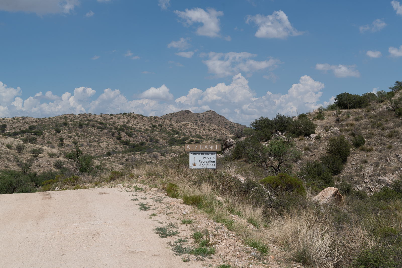
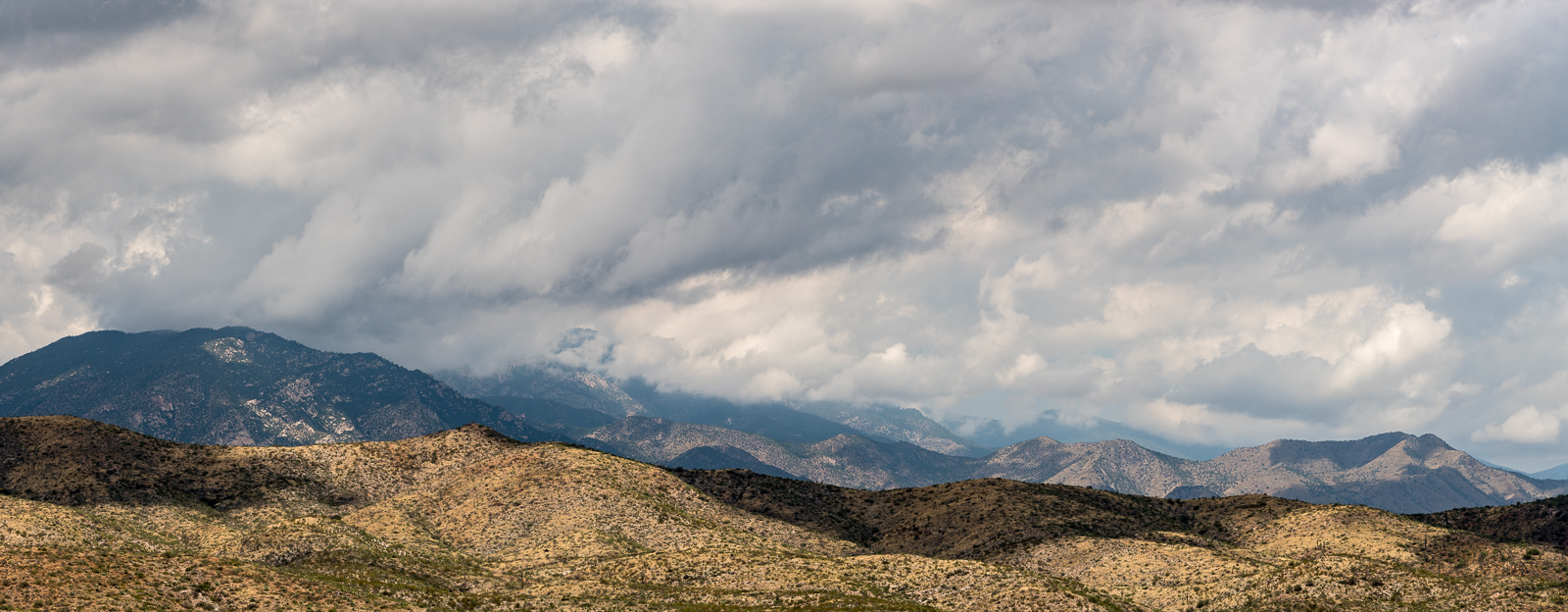
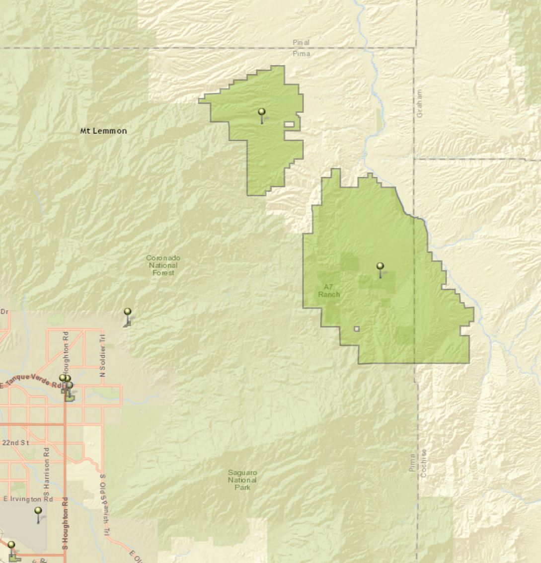
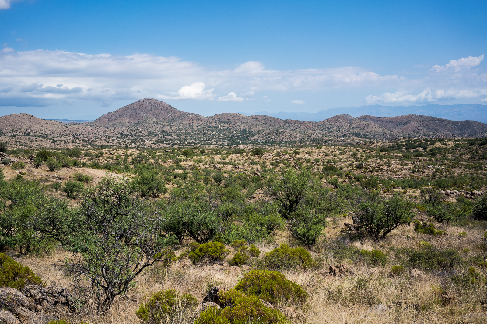
A hint of trail leads us away from a road thru Pima County’s A-7 Ranch and out onto a ridge above the San Pedro River. The fields below and occasional engine noise make it clear that this isn’t pure wilderness – but we are alone with the creosote and cactus.

The sparse population and relatively long drive into the valley mean that there are many (maybe a limitless number?) of small, subtle, seldom visited places to enjoy – better perhaps that the drive into the valley today still reminds me of this passage in the conclusion of Bernard W. Muffley’s excellent 1938 thesis The History of the Lower San Pedro Valley in Arizona (pp. 71-72):

Possibly one reason why the lower San Pedro Valley was never a cohesive unit lies in the fact that there were no good roads. The Leach Route of 1857-58 had been only a clearing in the mesquite wide enough to permit the passage of a wagon. This road had never been extensively used. The later roads were developed from trails made by the early settlers. By 1930, the quality of the highways in the lower San Pedro Valley was much below the general state average. Even then, if a traveler wanted to go from Reddington to Mammoth by automobile the best route was by Tucson, a distance of 130 miles to cover what might easily be a level highway of less than thirty miles.

Barrel Collective. August 2016.
Walking Stick. August 2016.

Another description from The History of the Lower San Pedro Valley in Arizona that still seems relevant today (pp. 57-58):

The story of the farms was the saddest part of the history of the lower San Pedro Valley. Once a hardy, ambitious, energetic class wrested many fertile acres from the mesquite and rocks. By 1904 the river had carved away the choice pieces of land. The more energetic of the settlers had moved on to places of greater promise. Ditches from the river were difficult to keep in place, and many an acre of land was allowed to grow into a mesquite thicket. Farmers found it easier to keep a few head of range cattle and forget about tilling the soil. One by one, as the large barns or fine homes collapsed or were destroyed, mud shacks or sheet iron sheds took their places. Along the San Pedro where once, more than fifty fine farms were to be seen, by 1930 only a few remained, and they were fast deteriorating. Only in Aravaipa Canyon did the farms retain a semblance of their old beauty.

The Santa Catalina Mountains from a ranch road on the A-7. August 2016.

Pima County’s A-7 Ranch – 7/2/2016

A sign on Redington Road marking the boundary of Pima County's A-7 Ranch. July 2016.
A sign on Redington Road marking the boundary of Pima County’s A-7 Ranch. July 2016.

A small sign on Redington Road announces the boundary of Pima County’s A-7 ranch – there is no welcoming trail map, list of rules, historic marker or dedications – just a simple sign, easy enough to miss, the land on either side looks the same.

A storm over the Santa Catalina Mountains - A-7 Ranch between Redington Road and the San Pedro River.
A storm over the Santa Catalina Mountains – taken from a road on the A-7 Ranch – between Redington Road and the San Pedro River. June 2016.

The A-7 Ranch is owned by Pima County – it was purchased with funds from a voter approved 2004 Bond program that made $174 million dollars available for open-space purchases. The A-7 stretches from Buehman Canyon in the Santa Catalina Mountains down to the North East corner of the Rincon Mountains – it is bordered on the east by the San Pedro River and helps to connect the Galiuro, Rincon and Santa Catalina Mountains.

Two of Pima County's open space purchases - the Six Bar Ranch (upper) and the A-7 Ranch (lower). Santa Catalina Mountains (upper left), Rincon Mountains (lower center) and the edge of the Galiuro Mountains (upper right). July 2016.
Two of Pima County’s open space purchases – the Six Bar Ranch (upper pin) and the A-7 Ranch (lower pin). Santa Catalina Mountains (upper left), Rincon Mountains (lower center) and the edge of the Galiuro Mountains (upper right). July 2016.

Access information can be found here – don’t expect to find a network of established hiking trails… Some recent history from a Pima County Report:

The 41,000 acre A-7 Ranch lies northeast of Tucson along Redington Road, between the Catalina and Rincon Mountains and the San Pedro River. The County acquired the ranch from the City of Tucson in 2004. The City had purchased the ranch in 1999. Prior to the City’s purchase, the ranch was part of a larger ranch totaling about 96,000 acres known as the Bellota Ranch, which was owned and operated by the Riley-West Corporation for 20 years. The A-7 portion of the Bellota Ranch was sold to the City, while the Forest Service grazing permit was sold to the owners of the Tanque Verde Guest Ranch.

Piety Hill, A-7 Ranch, Redington Road. July 2016.
Redington Road heading towards Piety Hill on the A-7 Ranch. July 2016.