Views from Barnum Rock and Leopold Point, News – 5/19/2016

Saguaro just off the General Hitchcock Highway. May 2016.

The drive up to San Pedro Vista was slightly slower than normal – both because I couldn’t resist stopping and photographing Saguaros near the highway and because a film crew was set up at Windy Point filling part of the parking lot with trailers and vehicles and occasionally stopping traffic. I didn’t see what they were filming – but the motorcycles in a pop-up tent and drone hovering off the side of the highway on my way down did make me a bit curious…

From Barnum Rock: Green Mountain - center, Guthrie Mountain - left, San Pedro Vista - lower left, Mica Mountain in the Rincon Mountains - right. May 2016.
From Barnum Rock: Green Mountain – center, Guthrie Mountain – left, San Pedro Vista – lower left, Mica Mountain in the Rincon Mountains – right. May 2016.

From San Pedro Vista I intended to take the Incinerator Ridge Trail and Kellogg Trail up to Mount Bigelow – my idea was a good workout with great views – but the views quickly won out over the workout – I sat on the top of Barnum Rock and watched the sun and clouds create shapes of light and shadow on Green and Guthrie Mountains and then admired Kellogg Mountain, Mount Bigelow and the San Pedro Valley from Leopold Point.

Kellogg Mountain and Mount Bigelow from Leopold Point near the Incinerator Ridge Trail. May 2016.

The Mount Lemmon Skycenter Facebook page recently featured a number of images of the recent transit of Mercury across the sun – a number of them were collected by Tucson News Now in Mercury images from Mt. Lemmon SkyCenter.

Rider Carol Fontana and her horse Tiki passed thru the Santa Catalina Mountains in May as part of their thru-ride of the Arizona Trail – see more about their journey on SaddleUpAz. The ride is to support and raise awareness of the Prescott Area Shelter Services whose mission is “serve homeless women, families, and veterans by providing temporary shelter, resources, individualized case management, and a pathway to permanent housing.”

Bighorns spotted, photographed, on Pontatoc Ridge – Arizona Daily Star: A local hiker had a great encounter with two Bighorn Sheep on the Pontatoc Ridge Trail!


Bighorn Pneumonia, No UFOs, LWCF, Weather – 10/6/2015

On 9/21 the carcass of Bighorn ewe ID 37442 was found in the Santa Catalina Mountains – a field necropsy showed signs of pneumonia. This is the 5th recent death – none of which have been attributed to predators – 3 of which have been linked to pneumonia in laboratory tests. While earlier deaths prompted AZGF to take a “take a wait and see attitude” about a November release of Bighorn in the Santa Catalina Mountains (source) it now appears that the pneumonia has been assessed as  “limited” and the November release is still planned. AZGF is “looking at bringing animals from a herd with prior exposure to pneumonia.” The latest updates from the project are available here – also see Another bighorn dies in Catalinas — apparently of pneumonia – Arizona Daily Star.

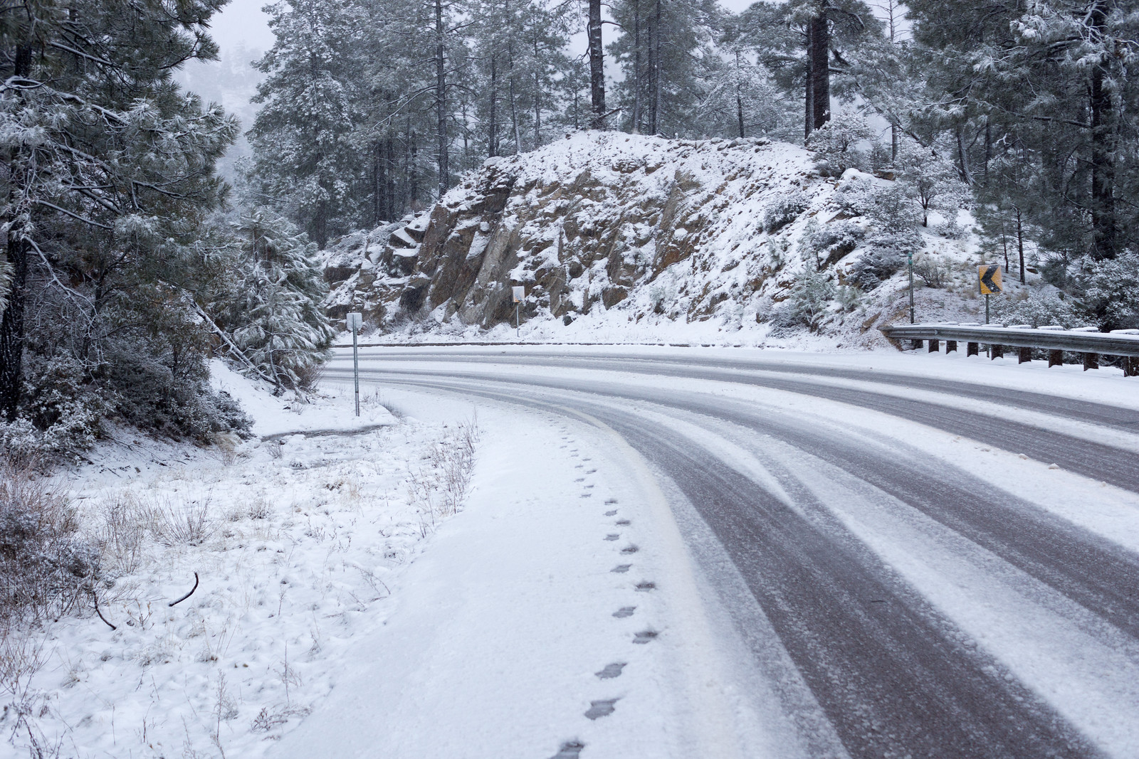
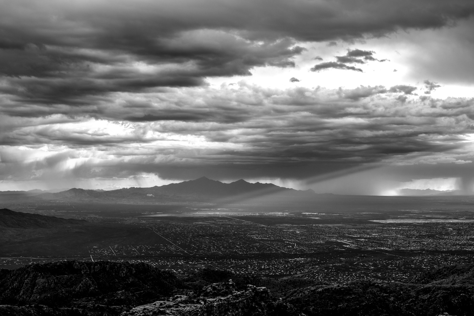
Storms result in rescue, outages, closures, evacuation – Tucson News Now: The article mentions rocks on the highway up the mountain in the recent storms – note that in almost every wet storm some rocks – perhaps small – will be on the highway, they are usually cleared remarkably quickly but in wet weather some extra caution is advised.

Tucson’s UFO Mystery Revealed – Huffpost Weird News: The recent UFO Videos shot from the Sabino Canyon area have been debunked – the lights appear to have been from human activity on the mountain…

Hittin’ the Trails 4 You: National Public Lands Day on September 26th – KVOA.com: Every year National Public Lands Day often features waived fees and good opportunities to volunteer!

Congress must renew the Land & Water Conservation Fund – Arizona Daily Star: A letter about the Land and Water Conservation Fund. Established in 1965 and primarily funded by royalties on offshore oil and gas drilling the fund provides money for the acquisition of land for recreation and protection. Unfortunately this fund was not reauthorized (as of 10/6/2015) (The Land and Water Conservation Fund Coalition and Congress Lets Sun Set on Land and Water Conservation Fund) – while it is possible it will be reauthorized it seems like it will be more difficult now…

Cloud Road named for family with long Tucson history – Arizona Daily Star: Some great historic details about the Cloud Family who purchased property along Sabino Canyon in 1910.

Hittin’ the Trails 4 You: Mount Lemmon’s Wilderness of Rock Trail – KVOA.com: Video and commentary on the Wilderness of Rocks Trail.

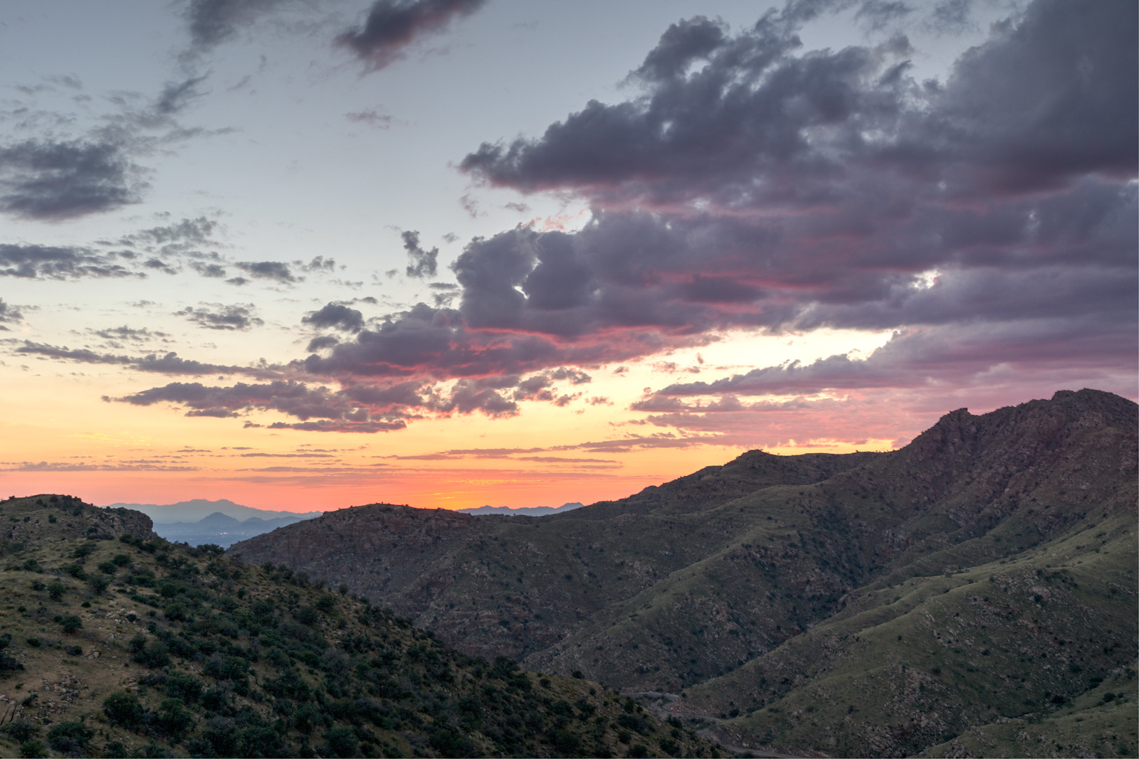
Monsoon brings greenery, flowing streams, wildflowers – Arizona Daily Star: A great quote from Frank Rose – “This has been one of the best monsoons I have seen in 33 years of hiking the Catalinas — bringing a great variety and quantity of flowers, some into their second bloom of the year”.

Highway up Mt Lemmon back open following crash – Tucson News Now: A vehicle/motorcycle crash.

Canyon View Elementary placed on brief lockdown due to mountain lion sighting – KVOA.com: the school across from the Sabino Canyon Visitor Center has a mountain lion sighting.

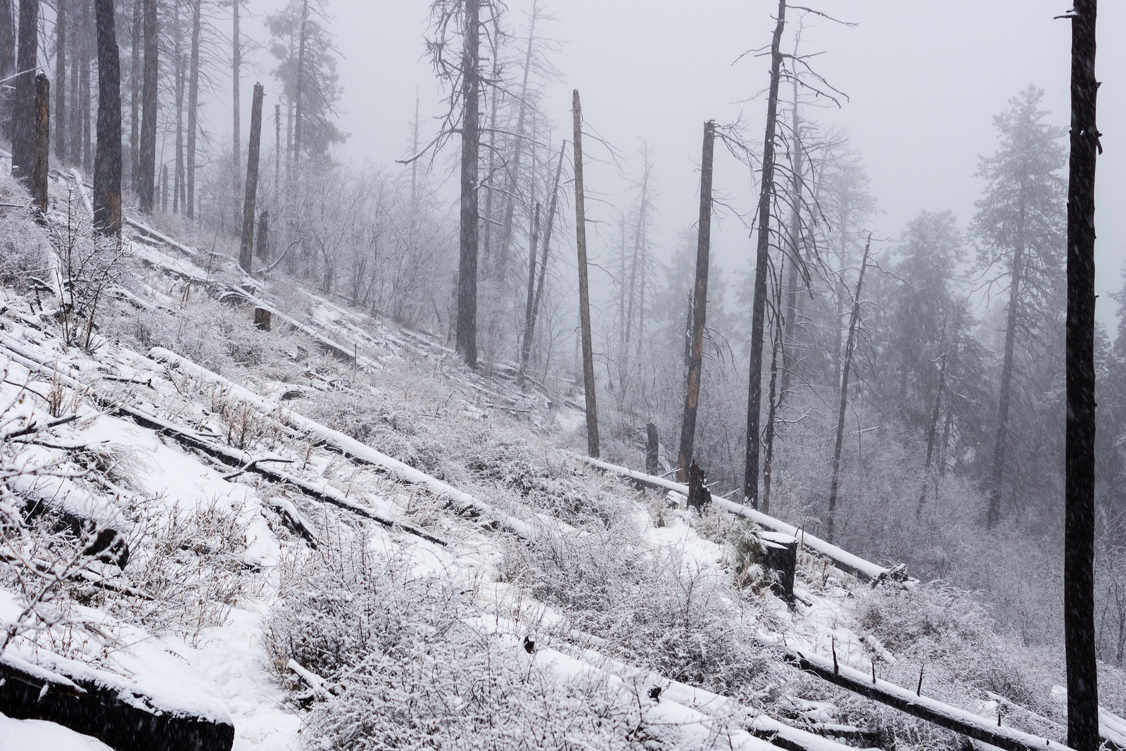
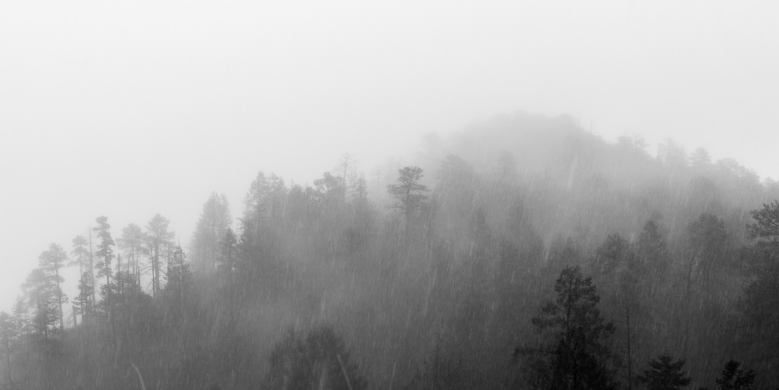
Four figures in the fog — hiking Arizona’s Mt. Lemmon – The Spectrum: A nice write up of a hike on the Marshall Gulch Trail and Aspen Trail on a stormy day.

AZ Game and Fish: Reward offered in poaching of two javelinas – Tucson News Now: Two javelina were found in Tucson – NW of Grant and Swan and near Cloud and Sabino – both shot by an arrow. AZGF said: “There is no archery javelina hunt open at this time, so we are investigating these incidents as illegal take of wildlife.”


Rescues/Accidents/Incidents including information from the SARCI Newsletter:

Knagge Trail to the Cabin, Snow – 1/31/2015

Lower on the highway everything was wet – Seven Cataracts is roaring and all the usual road-cut waterfalls flowing – but somewhere around Barnum Rock the rain turned to big wet snow flakes!

1501 Driving Snow
Snow! Driving up the General Hitchcock Highway. January 2015.

The snow seems like a surprise after the rain – but it has been snowing long enough to cover Incinerator Ridge Road and put snow on the Incinerator Ridge Trail – a frozen sign greets me at the start of the Knagge Trail.

1501 Junction of the Knagge and Kellogg Mountain Trails
The upper Knagge Trail sign covered in snow. January 2014.

Clouds cover the mountain and snow covers the trail – there aren’t any footsteps to follow today but finding the trail isn’t a problem. I start to wonder about snow collecting on the highway – but surely there is time to make it to the old cabin site…

1501 Old Fire New Snow
Snow along a fire-cleared section of the Knagge Trail. January 2015.
1501 Into the Storm
Disappearing into the storm. January 2015.

The snow has turned to rain by the time I finish the hike down to the cabin – out of time I head back up into the snow.

1501 Walking up the highway
Snow on the highway – walking back up to the parking pullout above Incinerator Ridge Road. January 2015.

2.5 Miles, +/- 1100′ of elevation gain and loss.

Point 5166 South of the Bellota Trail, 10/25/2014

1410 Ridge East of the Highway near the Ruins
The ridge east of the Highway near the Ruins climbing area. October 2014.

We started at the Molino Canyon Overlook and took the un-official climber’s trail (to the Ruins) out of Molino Canyon and up to the ridge. Earlier in the year we turned to the south and visited the Weathertop area – today we turned north and hiked in the sea of grass and shindaggers along the ridge while the sun disappeared in the west.

1410 The Day Trailing into West
The day trailing off to the west. October 2014.

We reached Point 5166 in the dark – the rocky high point is south of the Bellota Trail – we watched lights on the highway and Redington Road, City Lights, Clouds and the stars.

1410 Night on Point 5166 above the Bellota Trail
On Point 5166 watching cars coming down the highway with the clouds lit by the city lights. October 2014.

On the Bellota Trail we sat and pulled the painful grass seeds out of our shoes while a Mantis used us and our lights to hunt. With the finish on the highway back to the car – 4.5 miles, +/-1250′ of elevation gain/loss.

1410 A Mantis on the Bellota Trail
Mantis. October 2014.