Flowers and Rock, Catalina State Park and Alamo Canyon – 5/7/2016

Saguaro Flower in Catalina State Park. May 2016.
More Saguaro Flowers in Catalina State Park. May 2016.

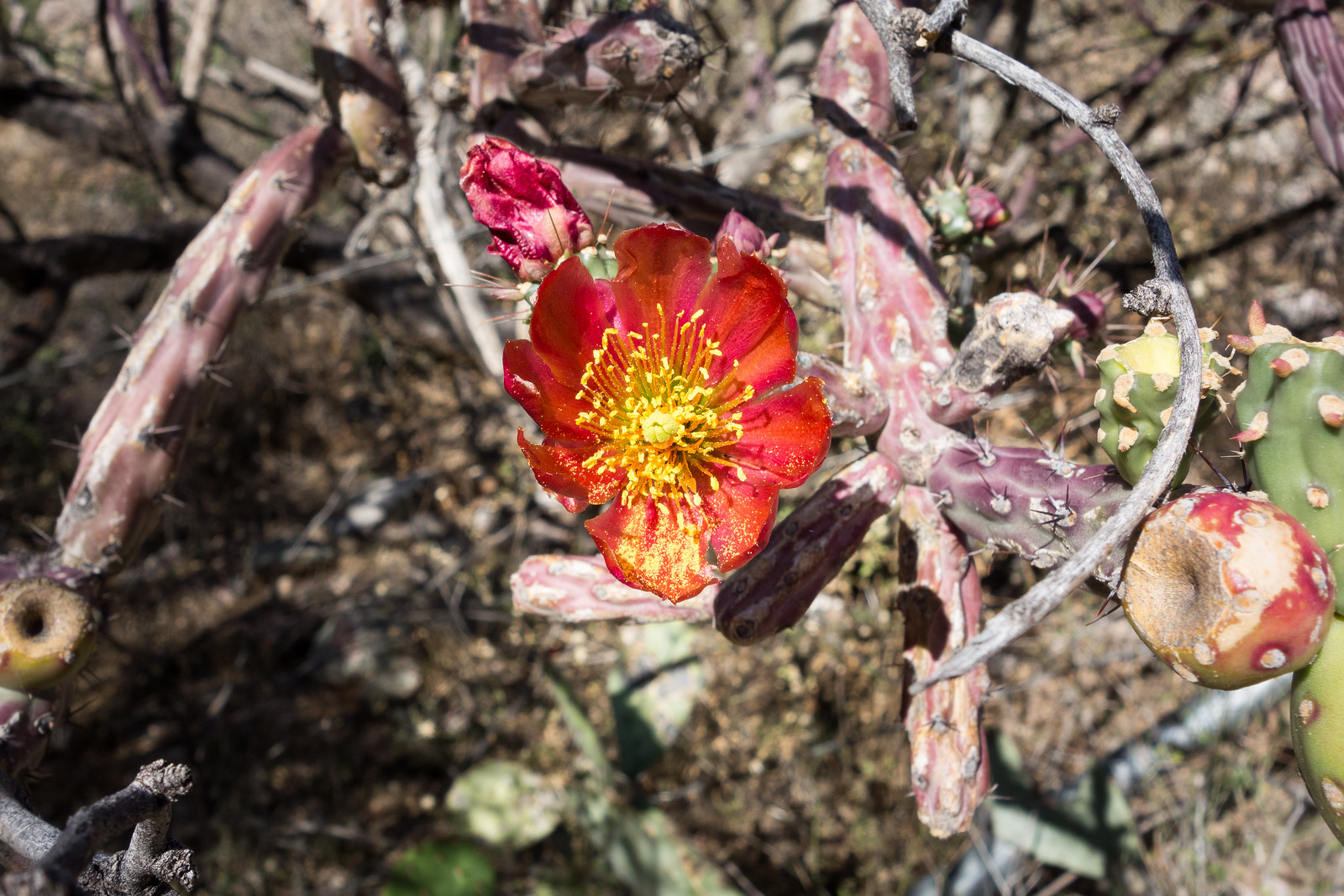
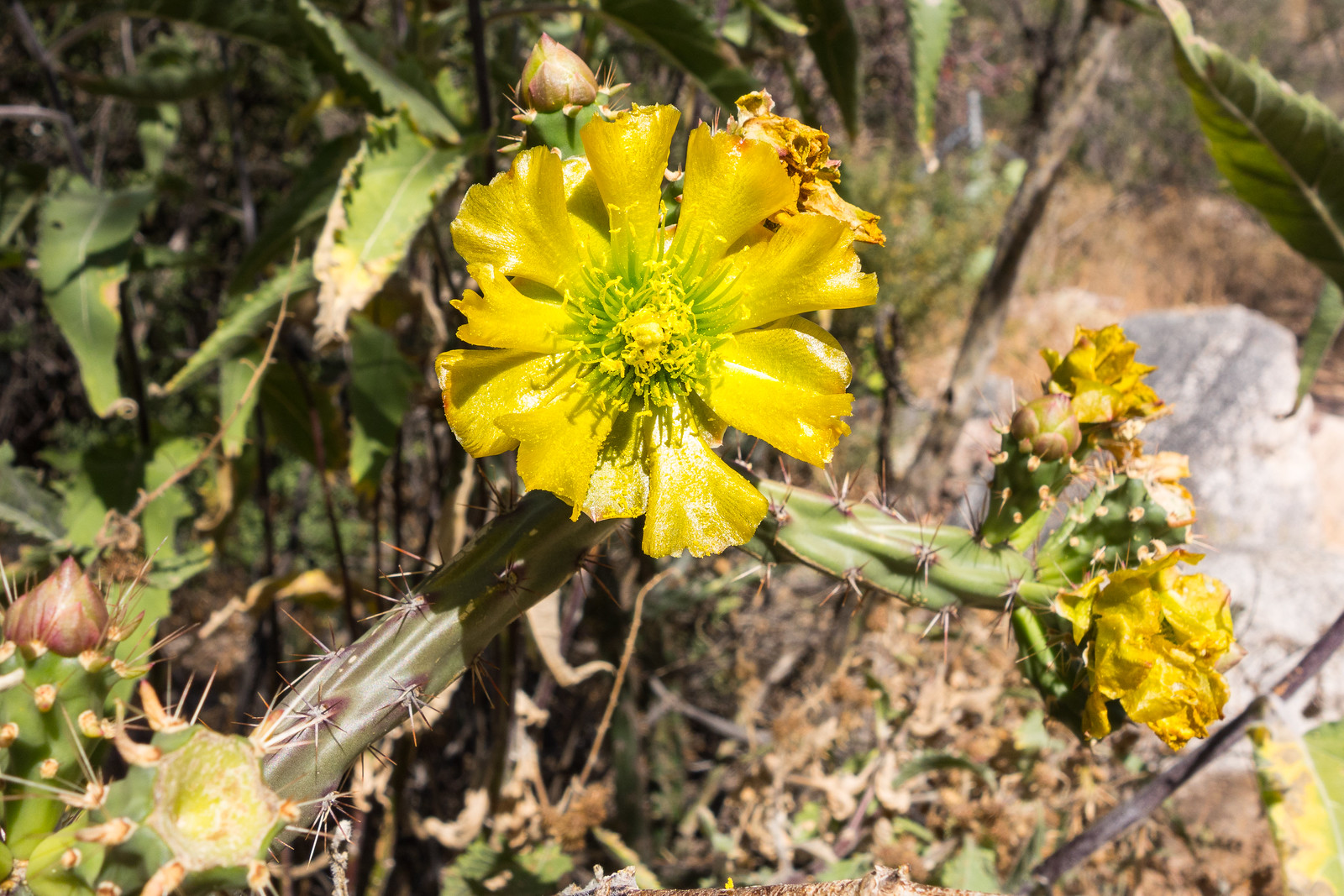
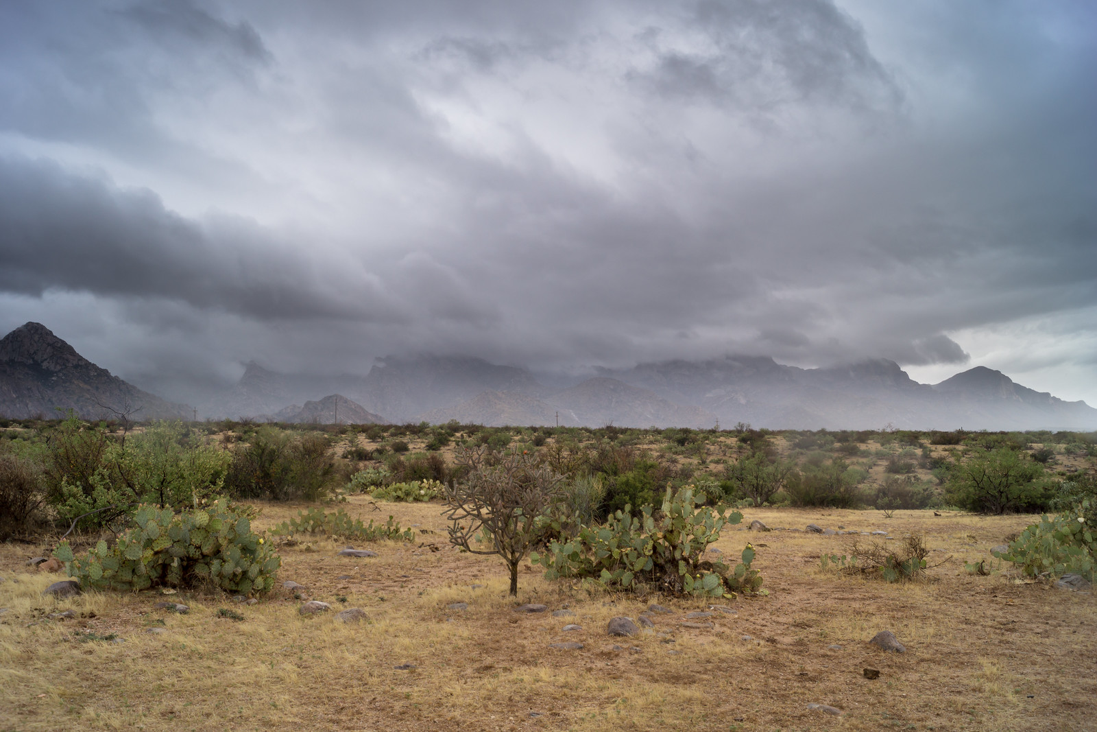
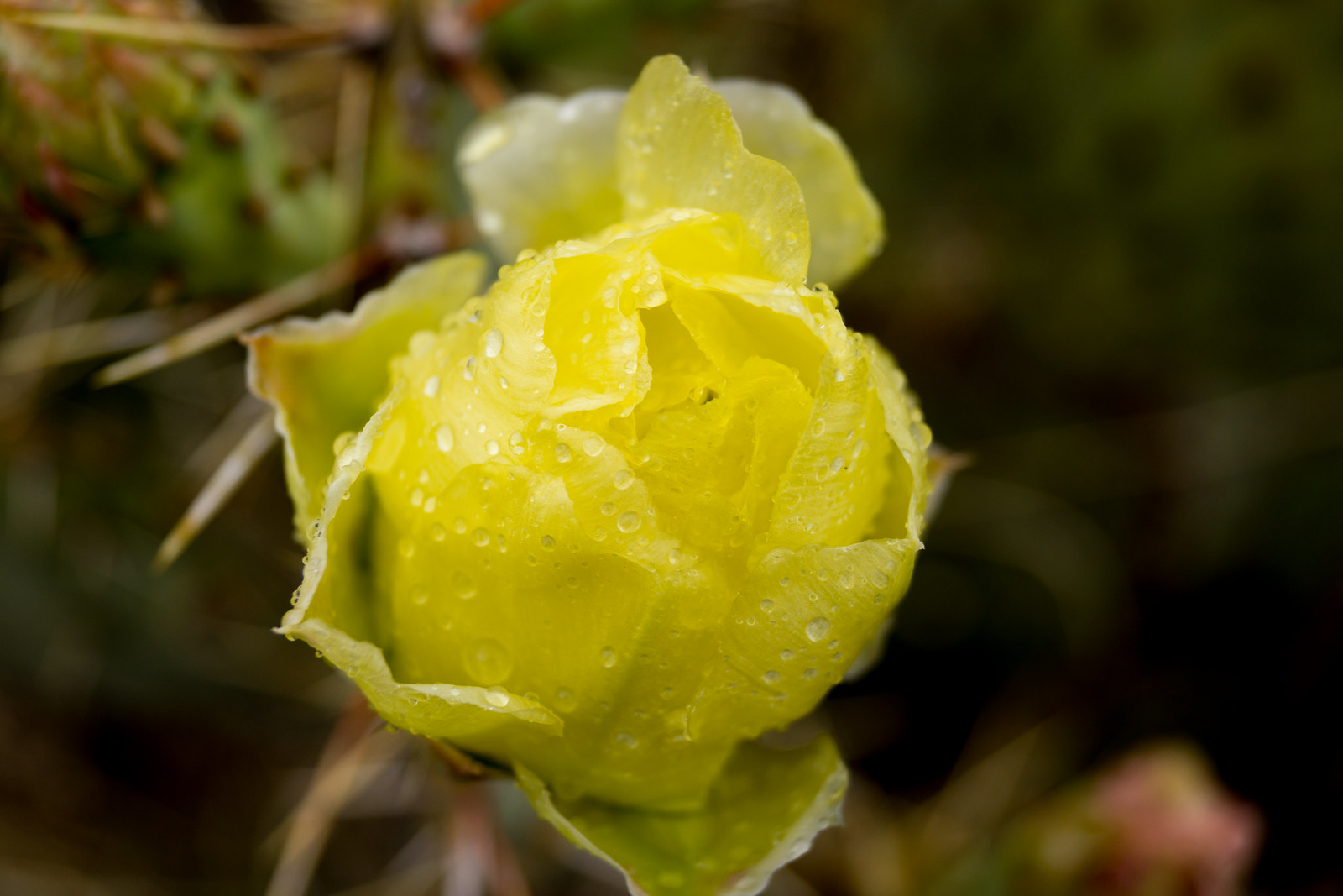
The pictures above are from Catalina State Park but Doug Kreutz’s recent article Saguaros on a blooming binge in Sabino Canyon still seems relevant – and on the subject of Saguaros perhaps some photographic inspiration from Jack Dykinga

Leviathan Dome from Alamo Canyon. May 2016.

I was recently reminded of John V. Bezy’s A Guide to the Geology of Catalina State Park and the Western Santa Catalina Mountains (available as a free PDF file) – the guide is accessible to readers without any formal training in geology and has been interesting to read again because it contains information on so many familiar sights.  From a section titled Granite Pinnacles (p.15):

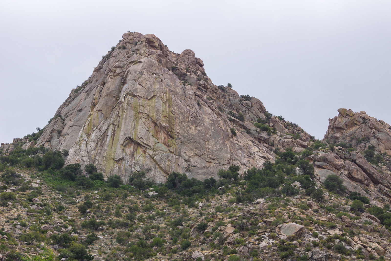
Catalina State Park is best known for the dramatic granite pinnacles that have developed in the upper, cliff-forming unit of the Wilderness Suite granite in this part of the Santa Catalina Mountains. These towering spires are the products of surface weathering and erosion by running water guided by deep joints in the rock.

The Wilderness Suite granite differs from the Oracle and Catalina granites that make up the western face of the range in that it is dominated by widely spaced, vertical joints. These fractures serve as avenues along which chemical and physical weathering and erosion penetrate the granite. Rock shattering, caused by ice expansion, wedging by plant roots, and chemical decomposition, enlarges the joints. Water from rain and snowmelt is channeled into the joints, cutting them into ravines and canyons. Joints actually control the location of most streams crossing bedrock. This concentrated action of weathering and erosion eventually widens and deepens the ravines and canyons, leaving the massive granite in between standing as towering pinnacles.

Table Tooth from Catalina State Park - Table Mountain is just to the right. May 2016.
Table Tooth from Catalina State Park – Table Mountain is just to the right. May 2016.

A Guide to the Geology of Catalina State Park and the Western Santa Catalina Mountains – p.10:

The bedrock of this part of the Santa Catalina Mountains is mainly the Oracle, Catalina, and Wilderness Suite granites. These granites were injected deep within the Earth’s crust as great molten masses. They were emplaced at different times: the Oracle Granite 1.45 billion years ago, and the Wilderness Suite Granite 45-50 million years ago, and the Catalina Granite 26 million years ago. The molten rock, which cooled and solidified over millions of years and miles below the Earth’s surface, has since been exposed by erosion.

Views from Barnum Rock and Leopold Point, News – 5/19/2016

Saguaro just off the General Hitchcock Highway. May 2016.

The drive up to San Pedro Vista was slightly slower than normal – both because I couldn’t resist stopping and photographing Saguaros near the highway and because a film crew was set up at Windy Point filling part of the parking lot with trailers and vehicles and occasionally stopping traffic. I didn’t see what they were filming – but the motorcycles in a pop-up tent and drone hovering off the side of the highway on my way down did make me a bit curious…

From Barnum Rock: Green Mountain - center, Guthrie Mountain - left, San Pedro Vista - lower left, Mica Mountain in the Rincon Mountains - right. May 2016.
From Barnum Rock: Green Mountain – center, Guthrie Mountain – left, San Pedro Vista – lower left, Mica Mountain in the Rincon Mountains – right. May 2016.

From San Pedro Vista I intended to take the Incinerator Ridge Trail and Kellogg Trail up to Mount Bigelow – my idea was a good workout with great views – but the views quickly won out over the workout – I sat on the top of Barnum Rock and watched the sun and clouds create shapes of light and shadow on Green and Guthrie Mountains and then admired Kellogg Mountain, Mount Bigelow and the San Pedro Valley from Leopold Point.

Kellogg Mountain and Mount Bigelow from Leopold Point near the Incinerator Ridge Trail. May 2016.

The Mount Lemmon Skycenter Facebook page recently featured a number of images of the recent transit of Mercury across the sun – a number of them were collected by Tucson News Now in Mercury images from Mt. Lemmon SkyCenter.

Rider Carol Fontana and her horse Tiki passed thru the Santa Catalina Mountains in May as part of their thru-ride of the Arizona Trail – see more about their journey on SaddleUpAz. The ride is to support and raise awareness of the Prescott Area Shelter Services whose mission is “serve homeless women, families, and veterans by providing temporary shelter, resources, individualized case management, and a pathway to permanent housing.”

Bighorns spotted, photographed, on Pontatoc Ridge – Arizona Daily Star: A local hiker had a great encounter with two Bighorn Sheep on the Pontatoc Ridge Trail!


Sutherland, Trail Link, 50 Year, Bridal Trail Loop – 2014/4/26

A storm coming thru the area allowed us to enjoy another day at lower elevations – cool weather and even some rain! This loop is about 10 miles and 1000 feet of cumulative elevation gain/loss starting/finishing at Catalina State Park – Sutherland Trail, Trail Link, 50 Year Trail, Bridal Trail – many other options in the area…

1404 Clouds over Pusch Ridge from the 50 Year Trail
Clouds over Pusch Ridge – the peak of Pusch Peak still visible on the right. April 2014.


1404 Cactus Flower in the Rain
The storm brought cool temperatures and rain – rain drops on a Prickly Pear flower. April 2014.


1404 Golder Dome and Grey Sky
Golder Dome – climbing information on Mountain Project and ClimbAZ. April 2014.